


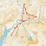
A short, slightly ‘there and back again’ walk, perhaps for a fine winter’s day, with a lovely loop in the middle. Some sections require careful route-finding over difficult terrain… some boggy, and some steep and craggy. To compensate for those difficulties, you are rewarded by the most stunning, austere, and truly wild mountain scenery. To walk up Cwm Hengwm is to pass into mountains very reminiscent of Eryri/Snowdonia, yet utterly deserted and apparently ‘lost’ and inaccessible. There are paths and even stony tracks, but few people venture here, and ways tend to disappear into morasses of wet reedbeds or through gushing streams, so waterproof boots are essential. This is a walk where the OS App comes into its own… keep the little GPS arrow on the lines on the map, and you will be spot on and have an amazing experience. As with most ‘walks on the wild side’ it is best to try this when at least some sunshine is promised, and, if possible, after mostly dry weather. All but two of the photos on here were taken in early November after a night of heavy rain, but I am very enthusiastic about this little route despite the wearisome toil back to the starting point at the end. For a longer route in this immediate area, including the ascent of a very characterful small mountain, see the Carn Hyddgen walk in this website.
(opens in new tab):
of starting point :
The starting point for this walk is at Maesnant, Nantymoch; private transport is required to get there. Take the small road signposted to Nantymoch from the far end of the village of Ponterwyd, on the A44 about 19 km (12 miles) east of Aberystwyth. Soon after spotting the large concrete dam over to your left, take a right turn at a t-junction, and drive up the eastern arm of the lake, until the tiny surfaced lane finally ends at a gate and turning point at Maesnant. Park in one of the lay-by areas nearby.
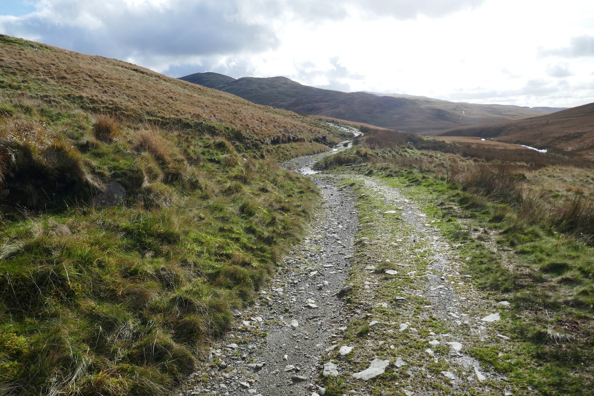
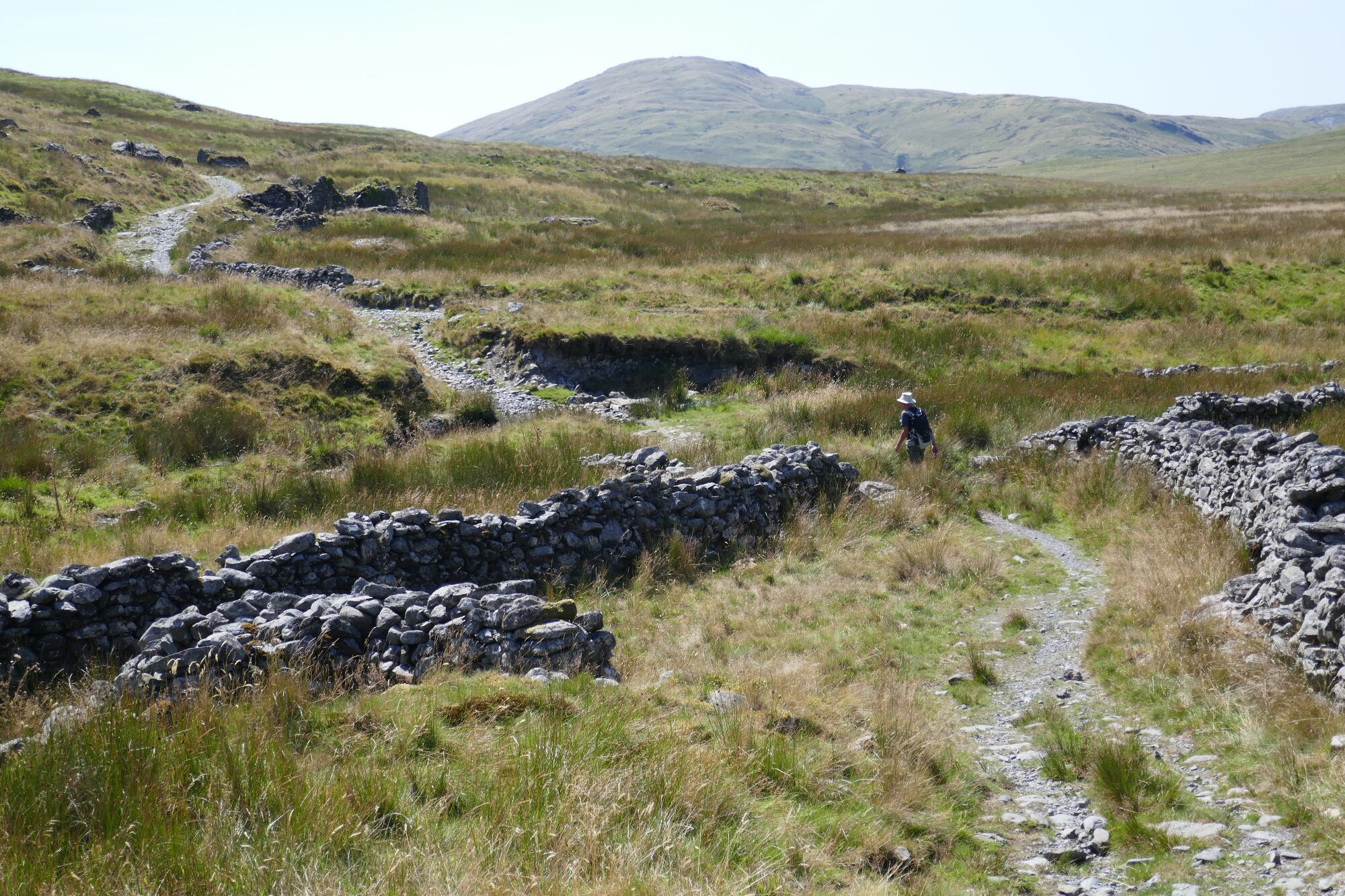
Park considerately in one of the laybys near the road gate at Maesnant. Walk through the gate on the stony track, noticing the former outdoor centre down on your left, near the end of the lake.

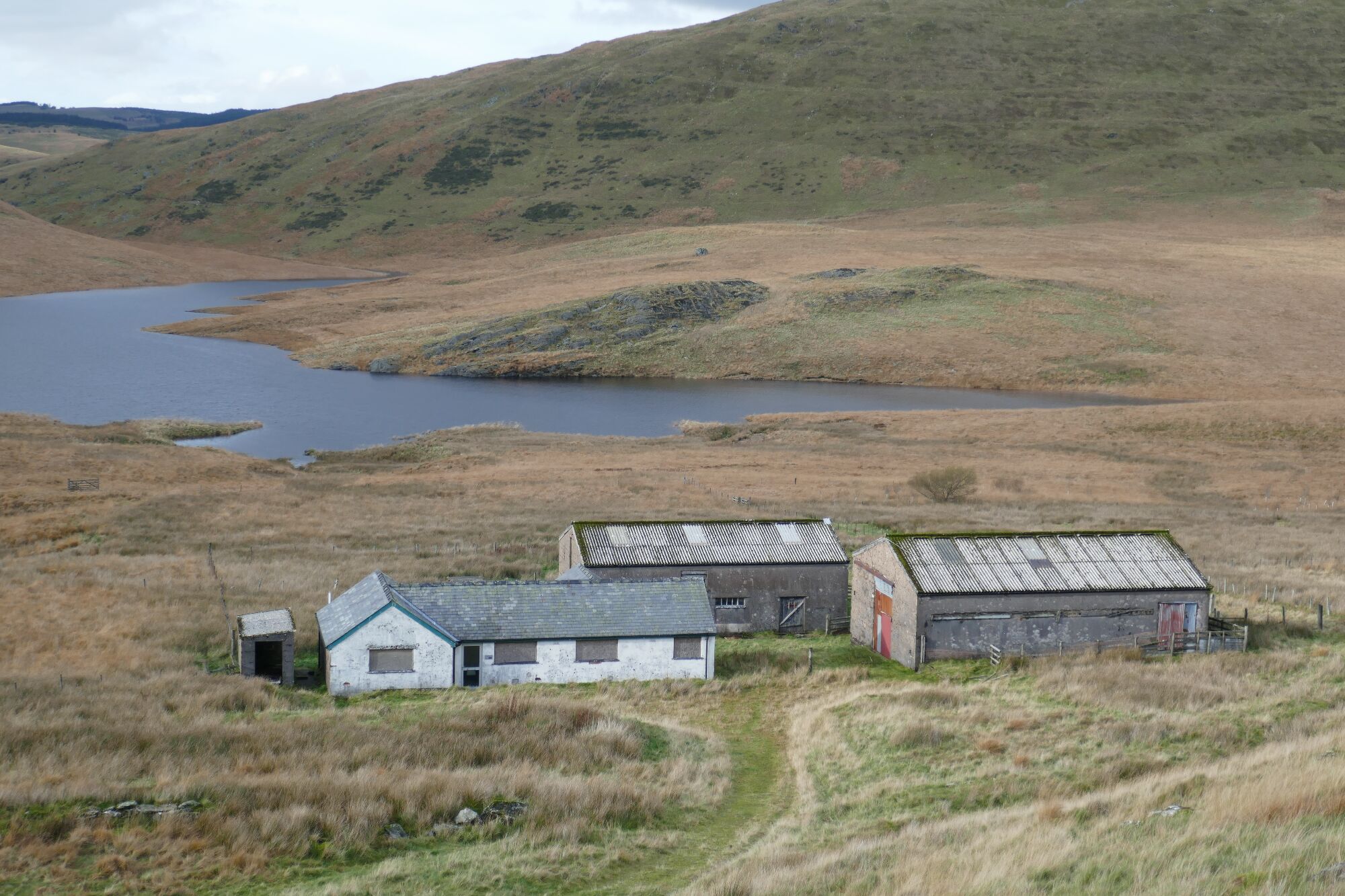
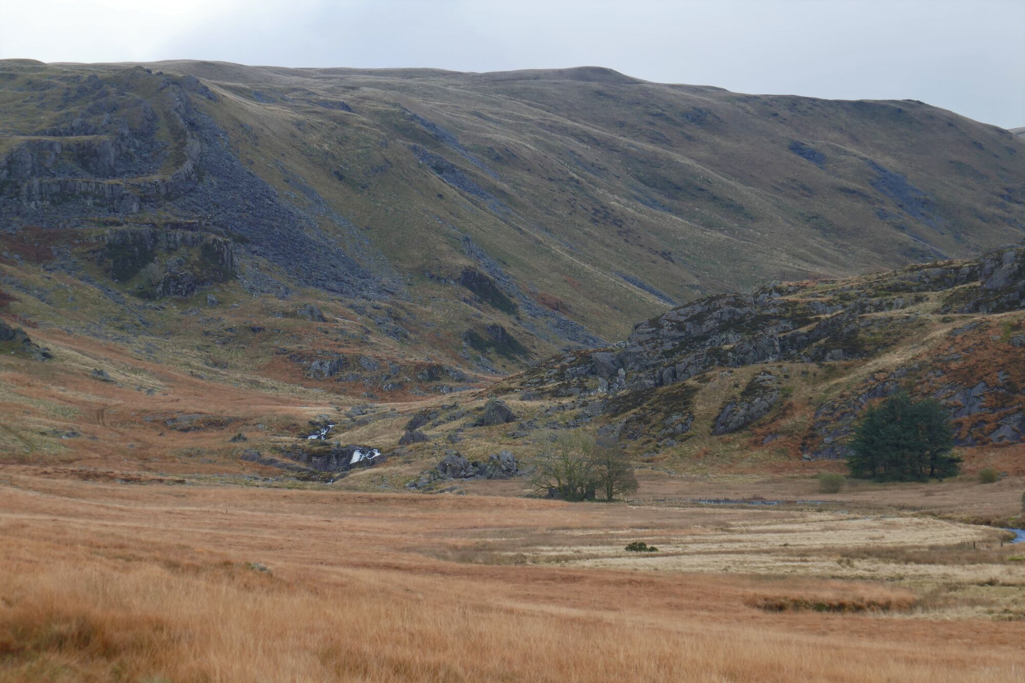
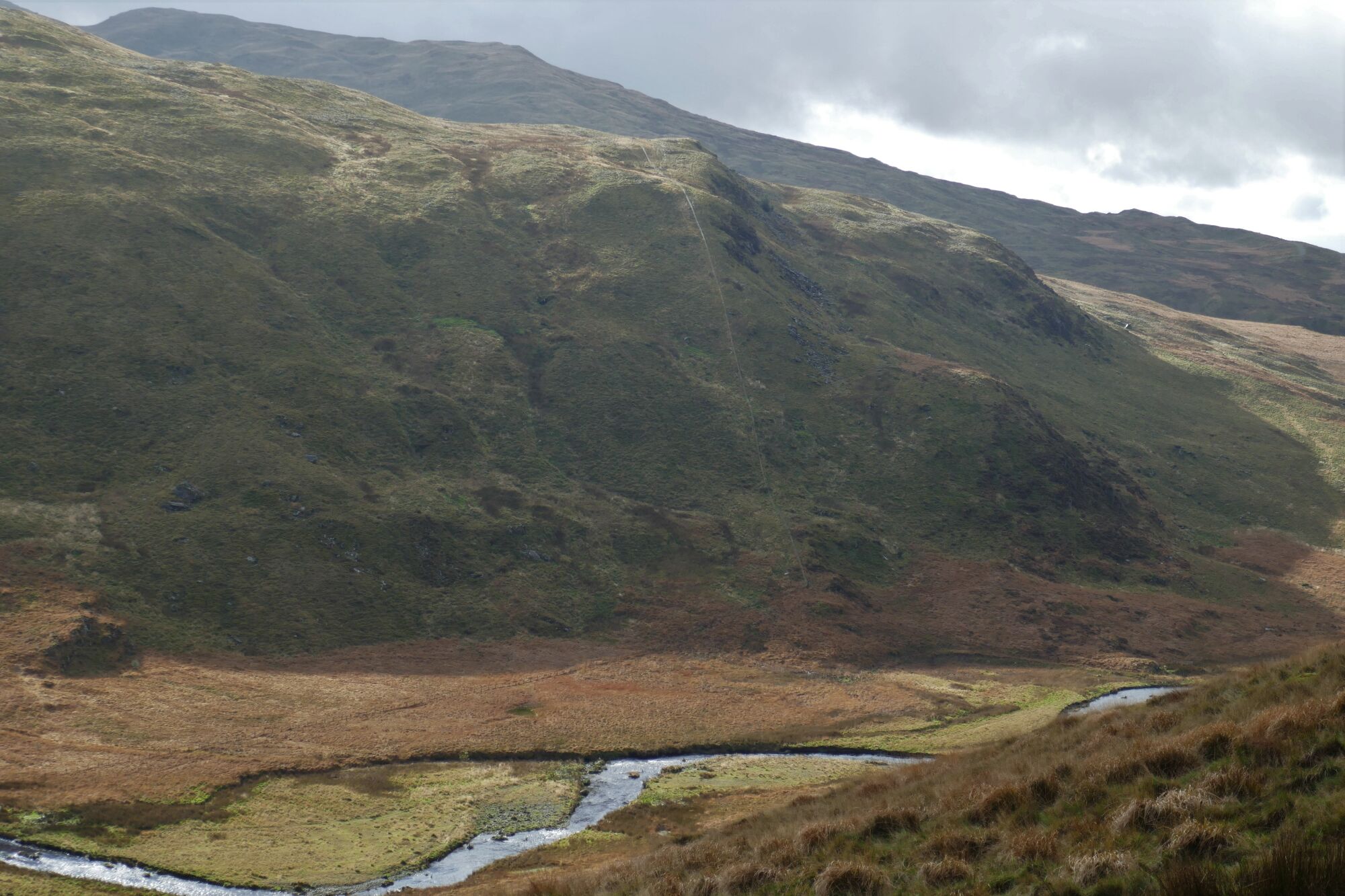
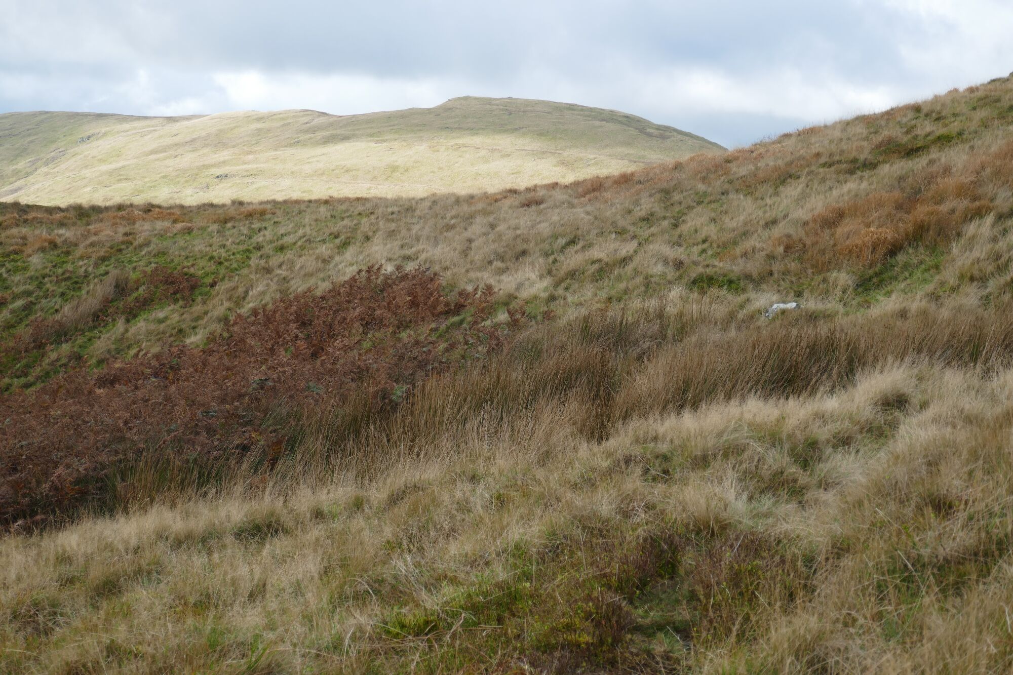
To your left is the distinctive mound of Drosgol, and ahead you look down the valley of Cwm Hengwm.
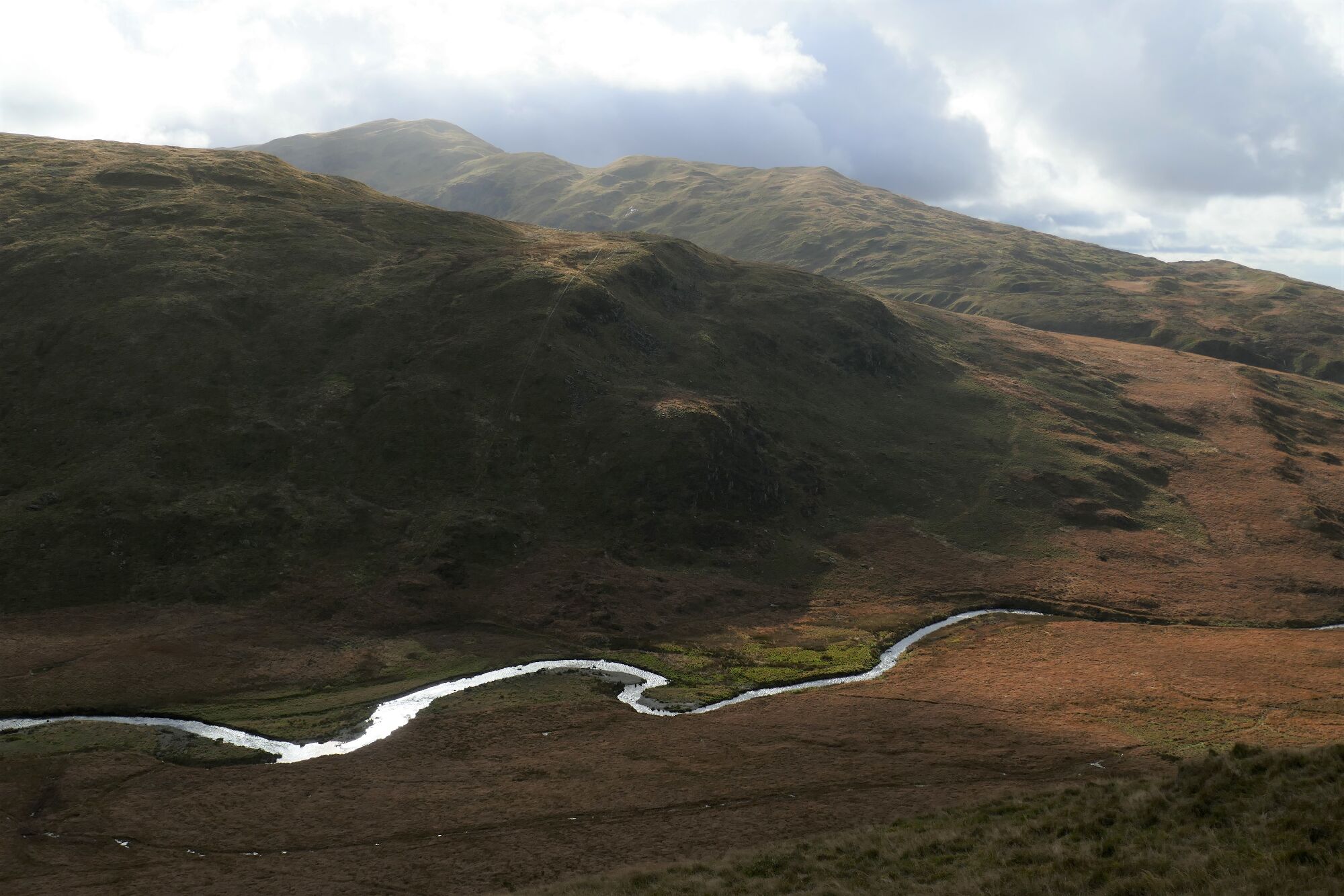
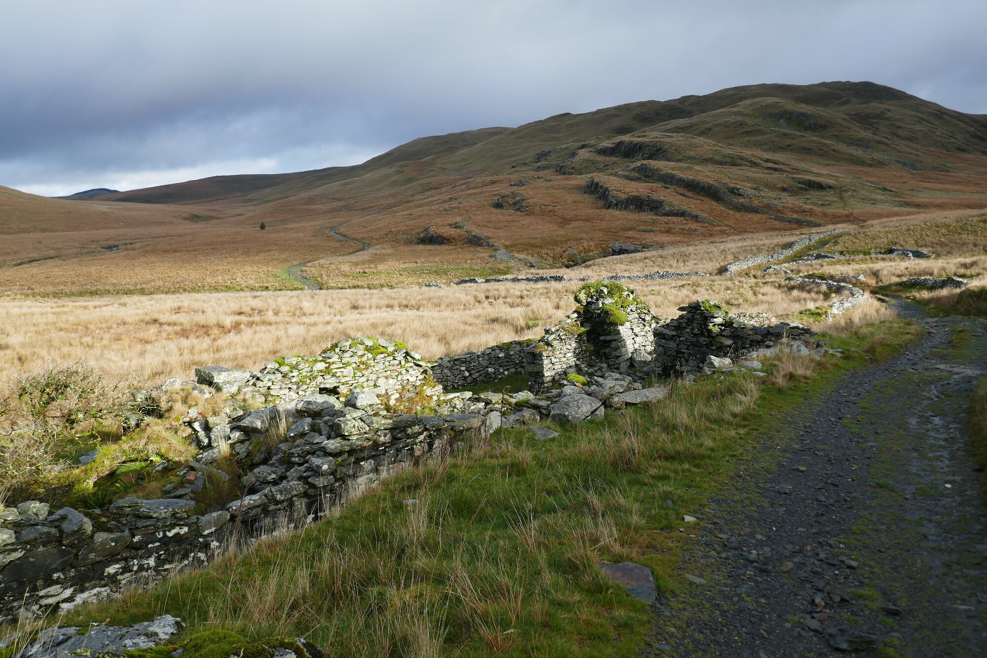
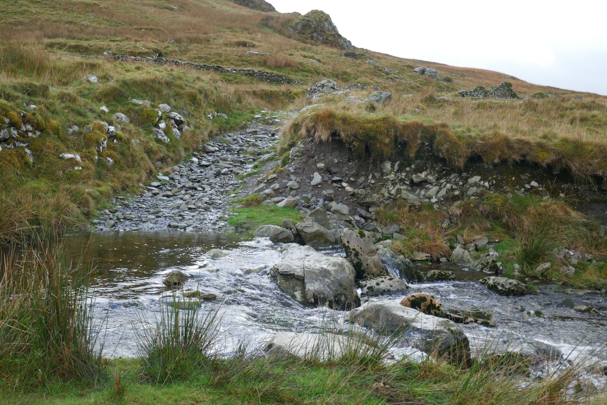
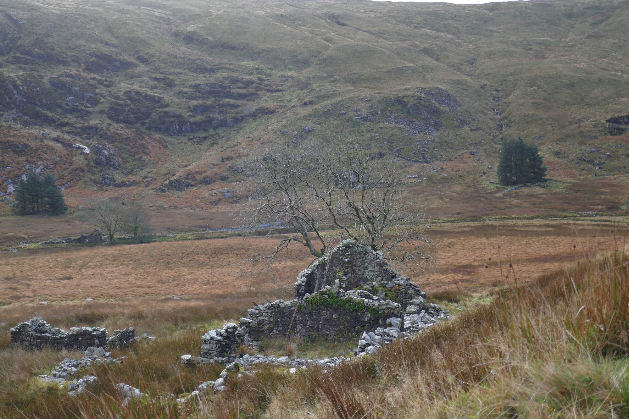
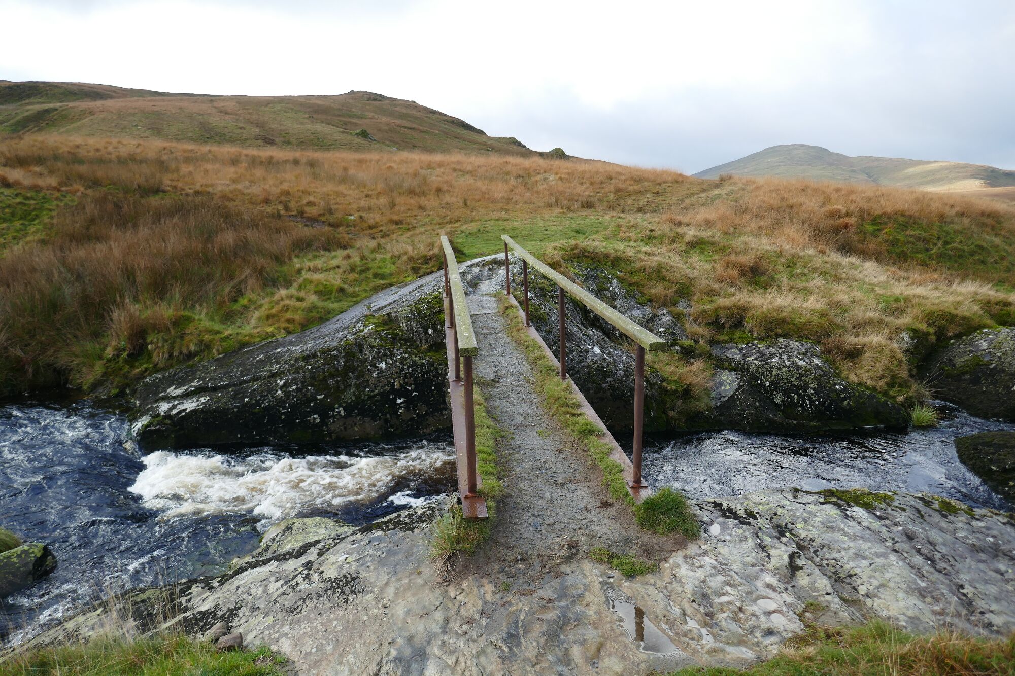
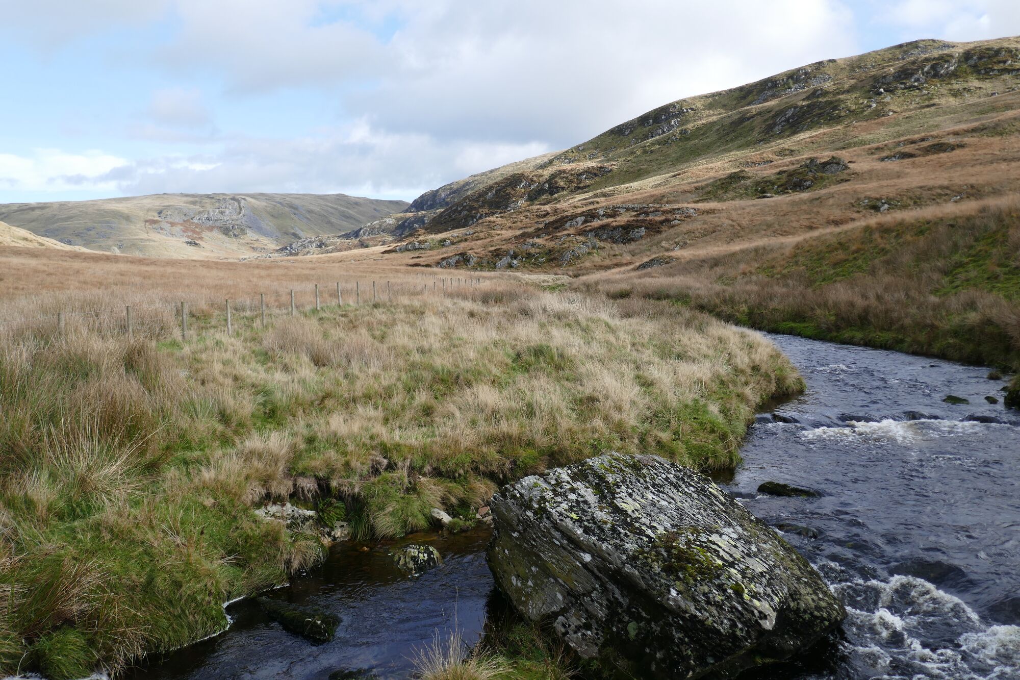
After about 1 ½ kilometres along here, you will pass a ruined stone building on the left of the track and a mass of derelict dry stone walling. A footbridge can be seen over the river well away to your left, but you are not going there today. Soon after, you easily jump over a stream crossing the track, but take care after heavy rain (see pic on the right below...looking back after crossing). Then following the track you arrive at another footbridge over the Afon Hengwm straight ahead. Take the path heading towards it, and cross.(see larger pic below, looking back after crossing).
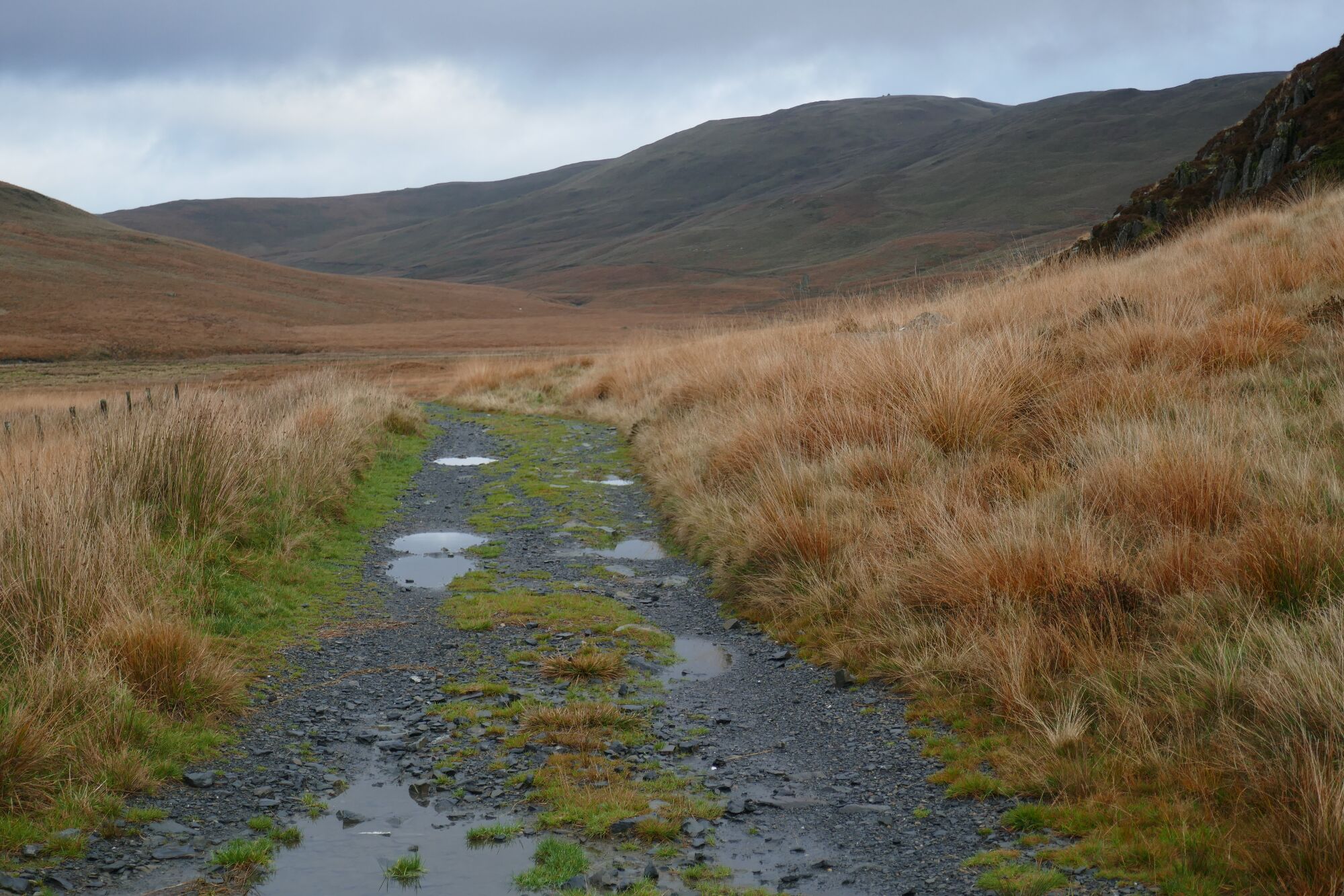
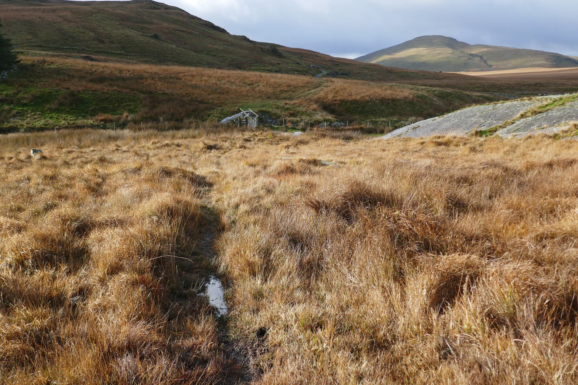
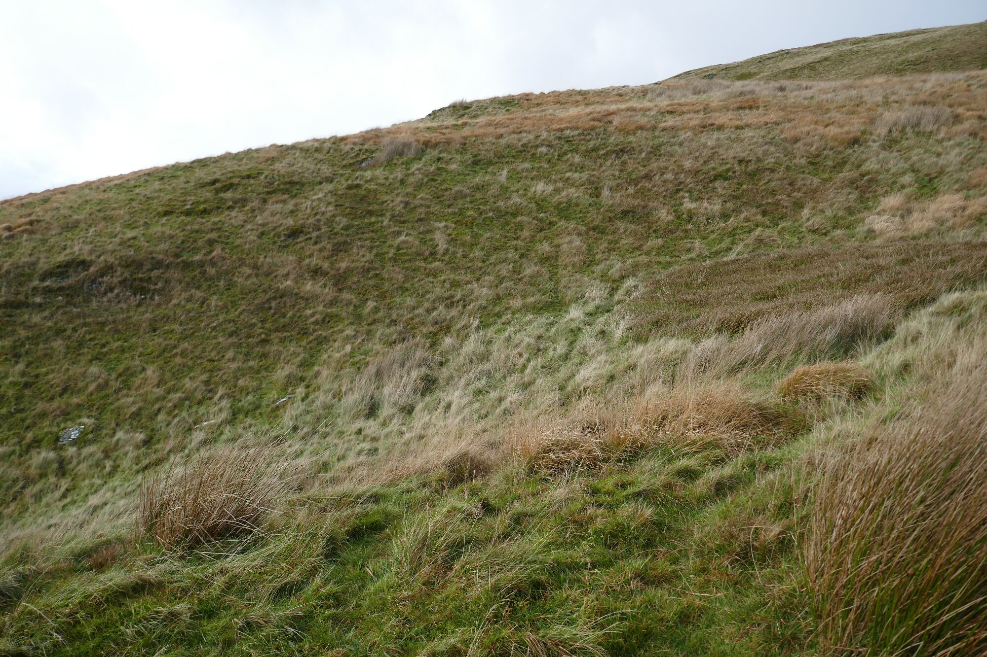
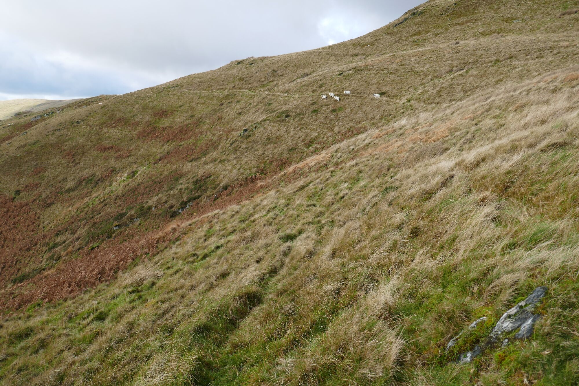
Beyond the footbridge, take the rather faint path that leads diagonally uphill to the right, towards the crags of Banc Luestnewydd. This path bends rightwards very soon and levels off. There are one or two quad bike tracks leading off it, boggy bits where it disappears, and sheep paths to distract you, and it is very helpful to use your OS App with GPS to make sure you stay on the correct line.
 View looking back
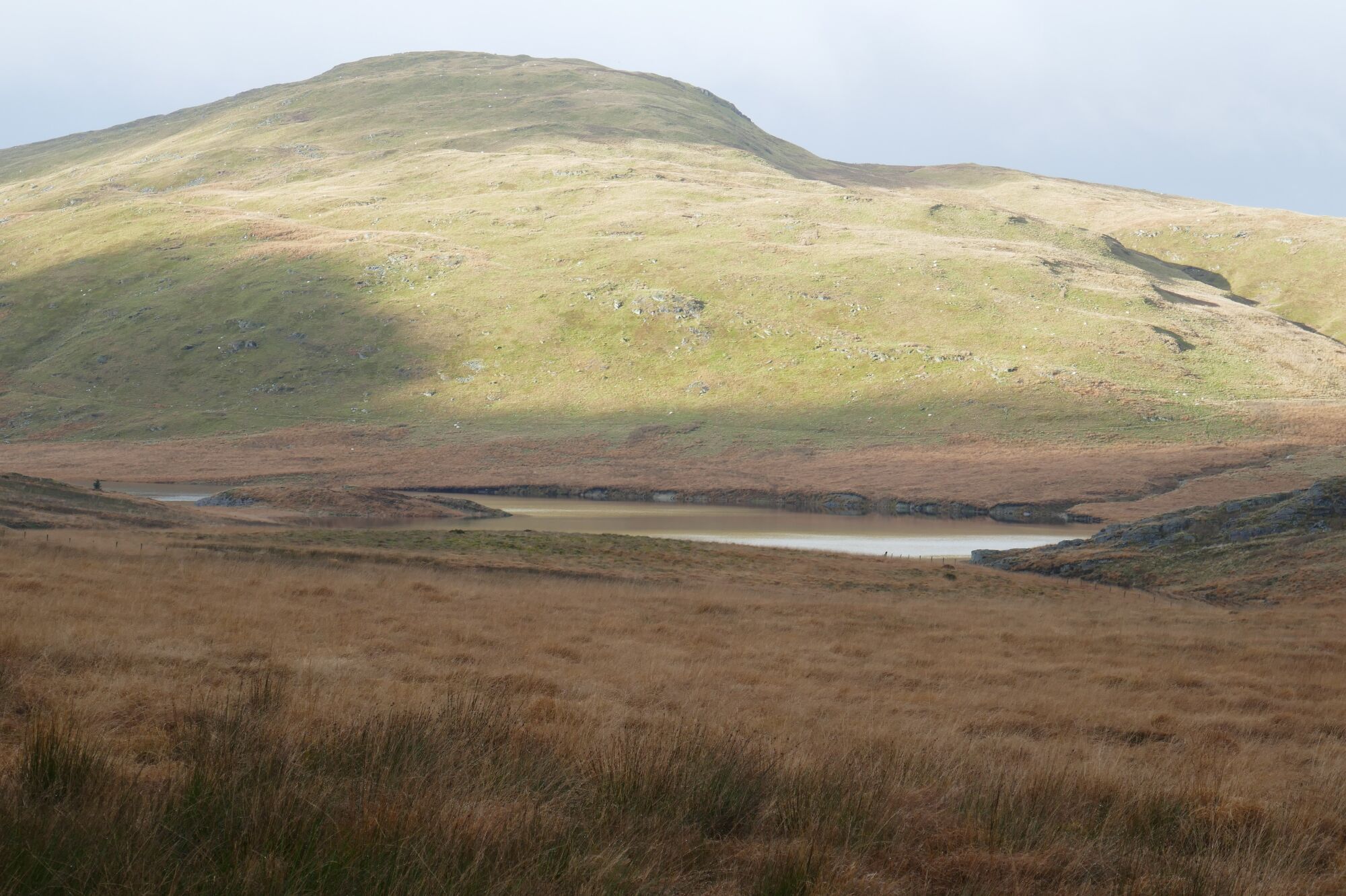
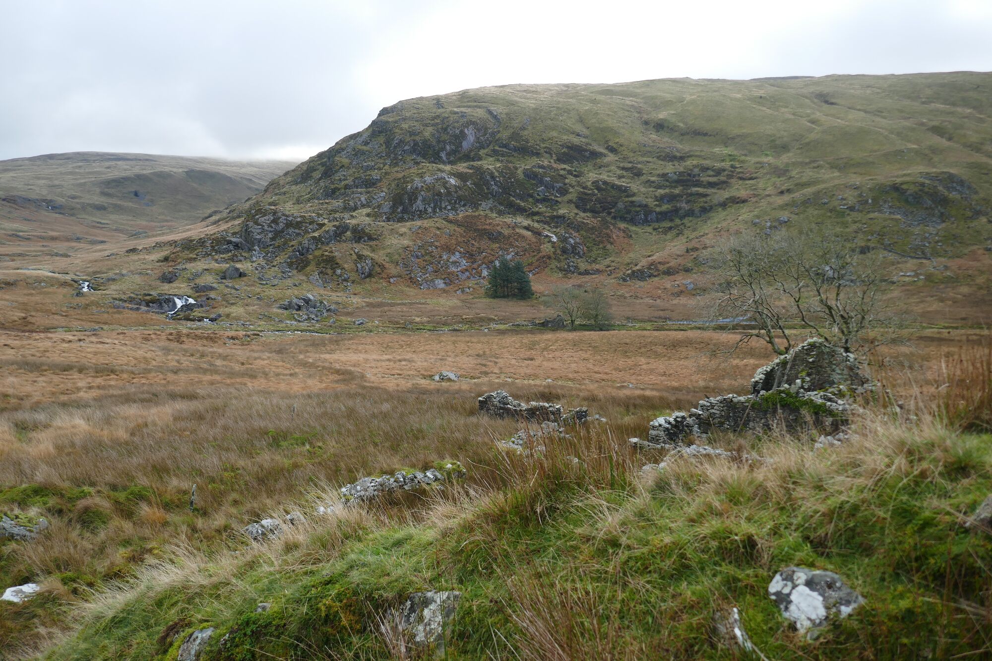
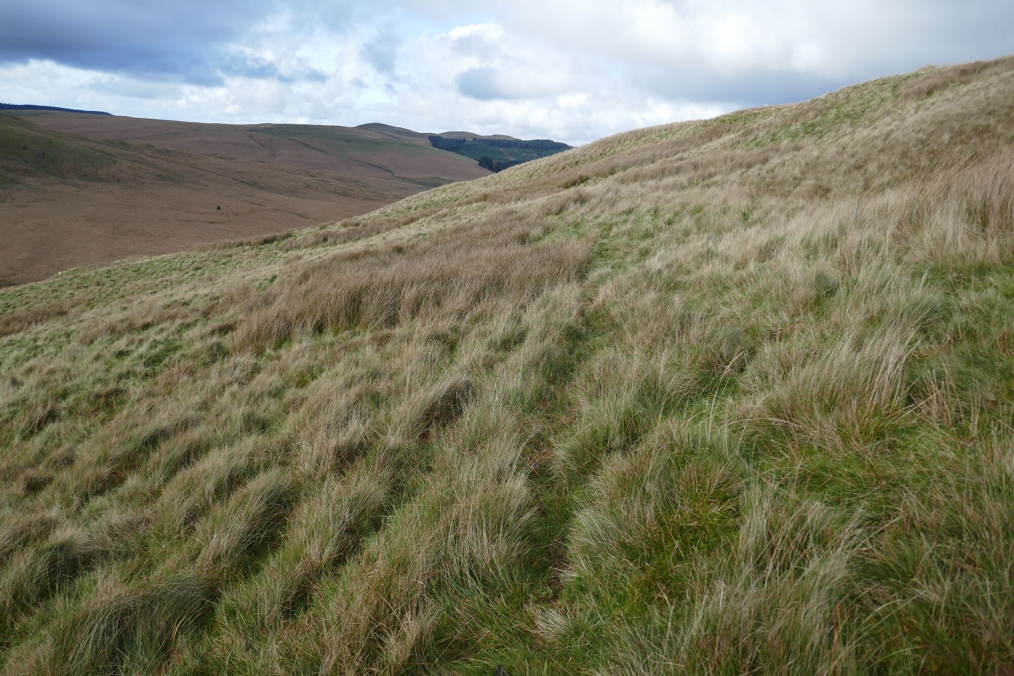
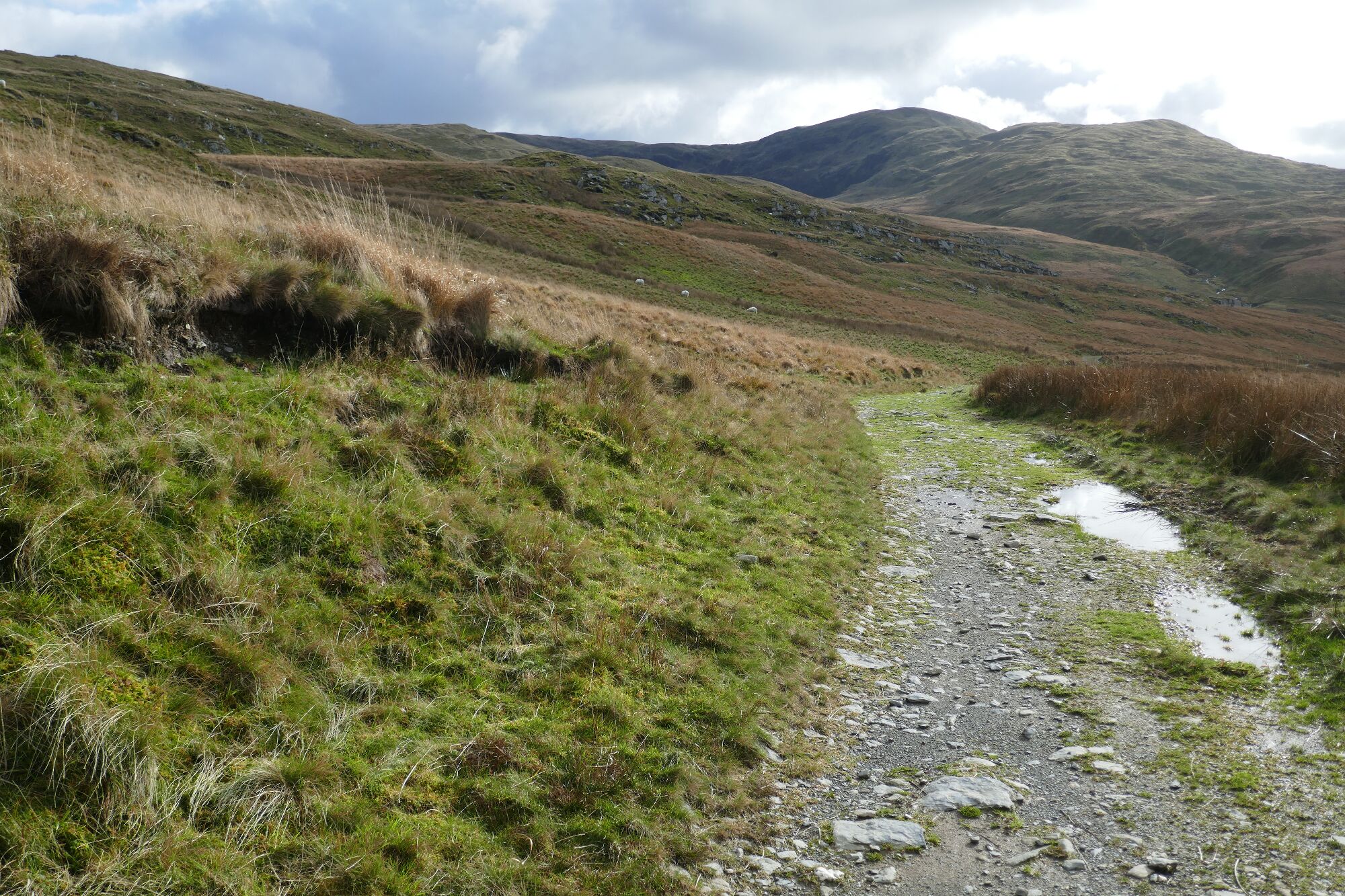
The path gently rises across the slopes, keeping above the worst of the boggy areas, with a view beginning to appear into the amazing Cwm Gwerin... a truly ‘lost’ valley! If you are on the correct line, the remains of a stone wall will appear as a straight ridge in the ground along which the path follows.
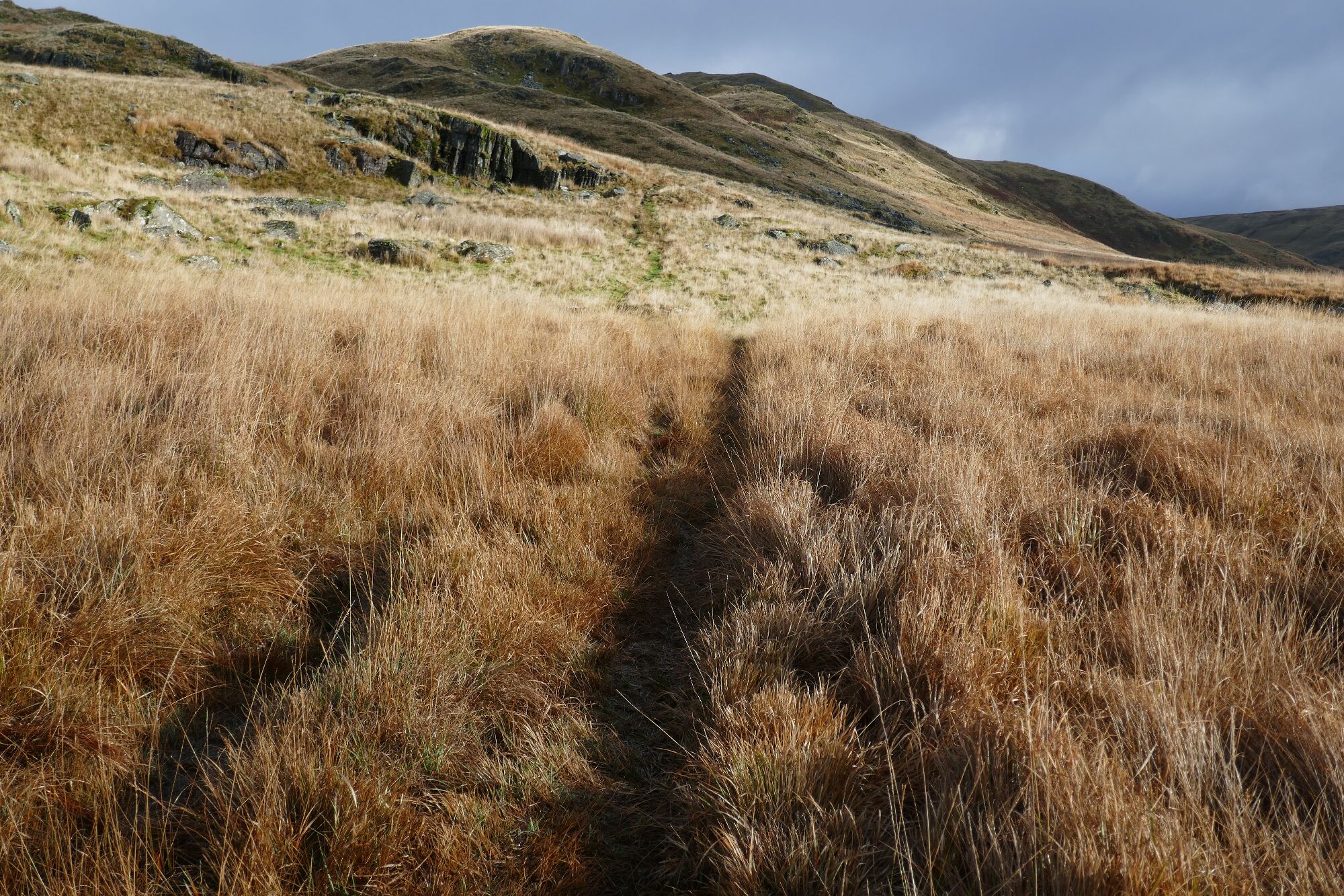
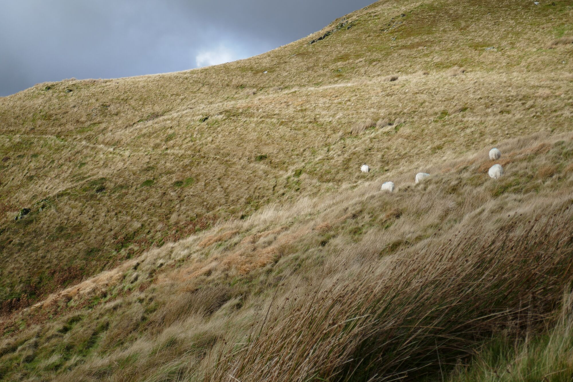
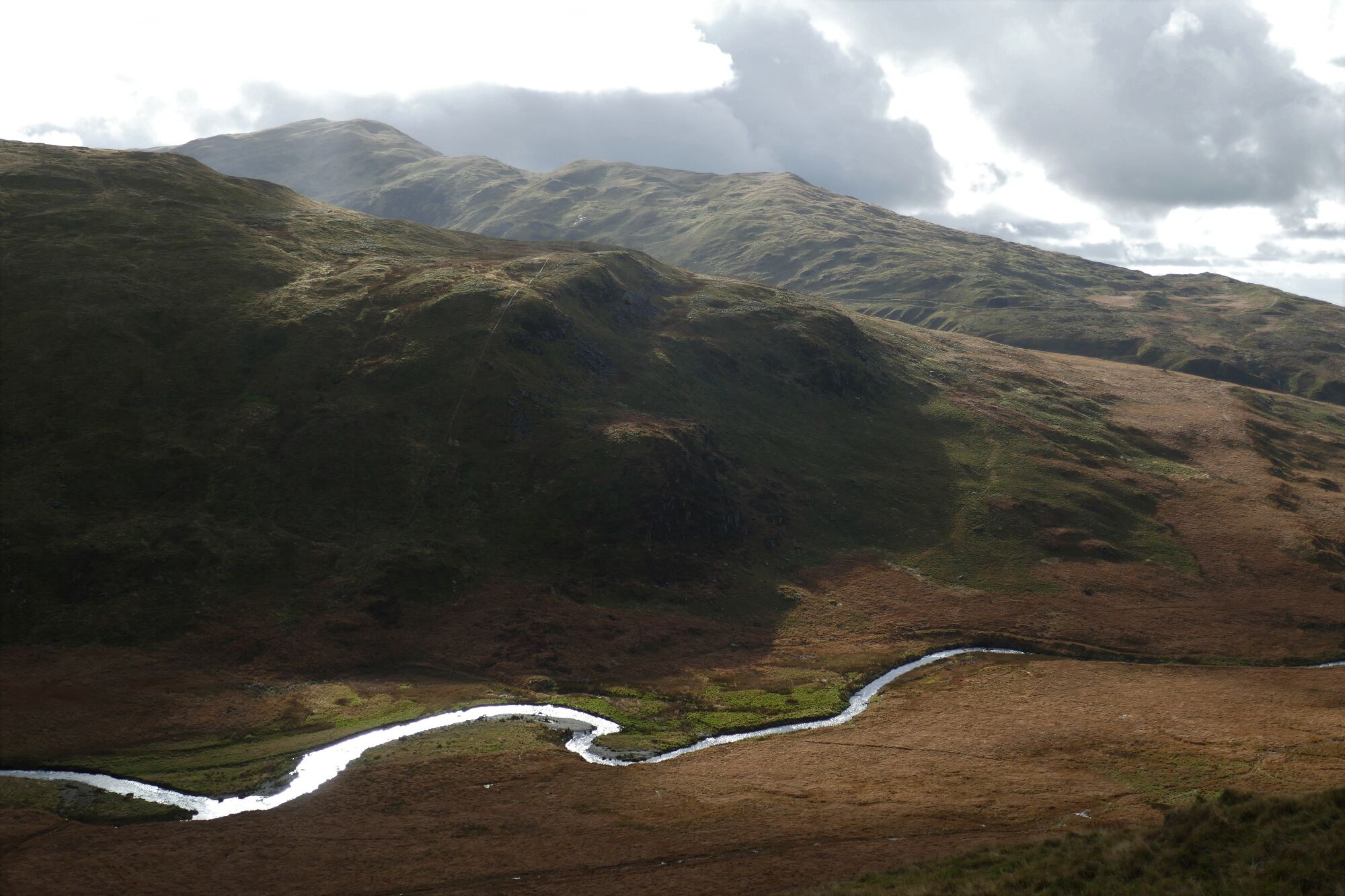
Look out for a stone ruin ahead and to the right with a lone tree at its side. When you get level with it, start going steeply uphill to your left, hopefully on some sort of path…It is steep but grassy with a lot of sheep tracks to choose from. The correct route very soon bears left some more and winds its way over large humps climbing higher between the crags. Take some time to look back over the Cwm and river towards the steep lower slopes and crags of Pen Cerrig Tewion on the other side, with Pumlumon Fach poking up behind.
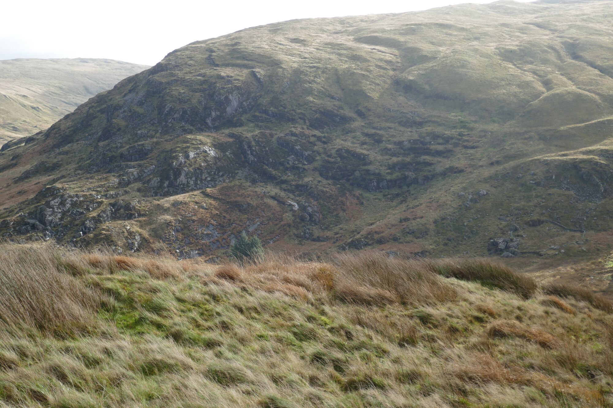
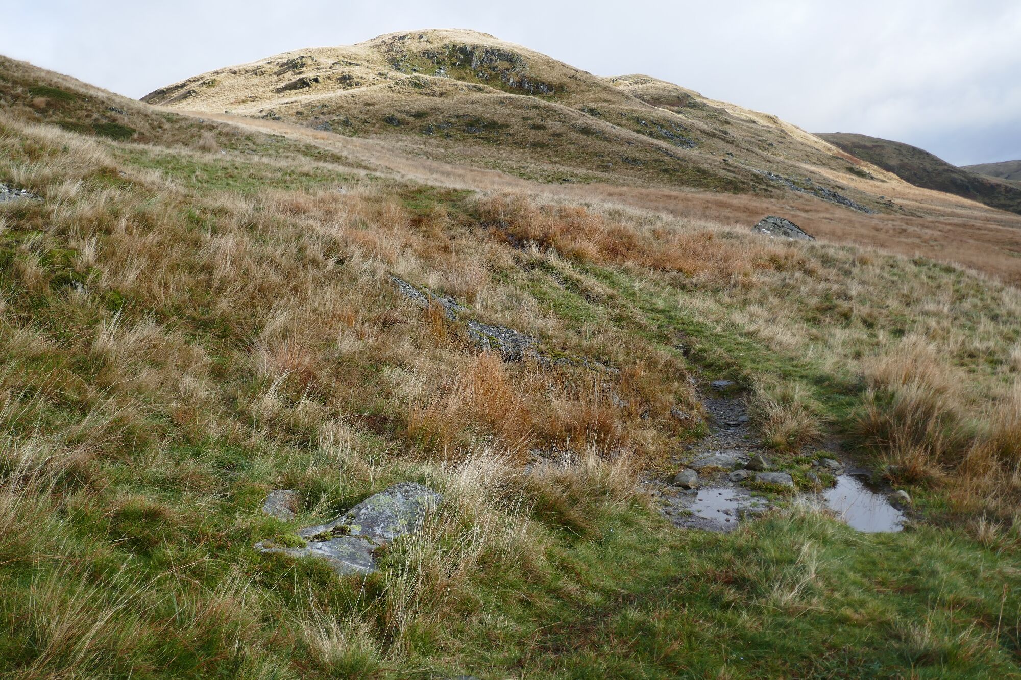
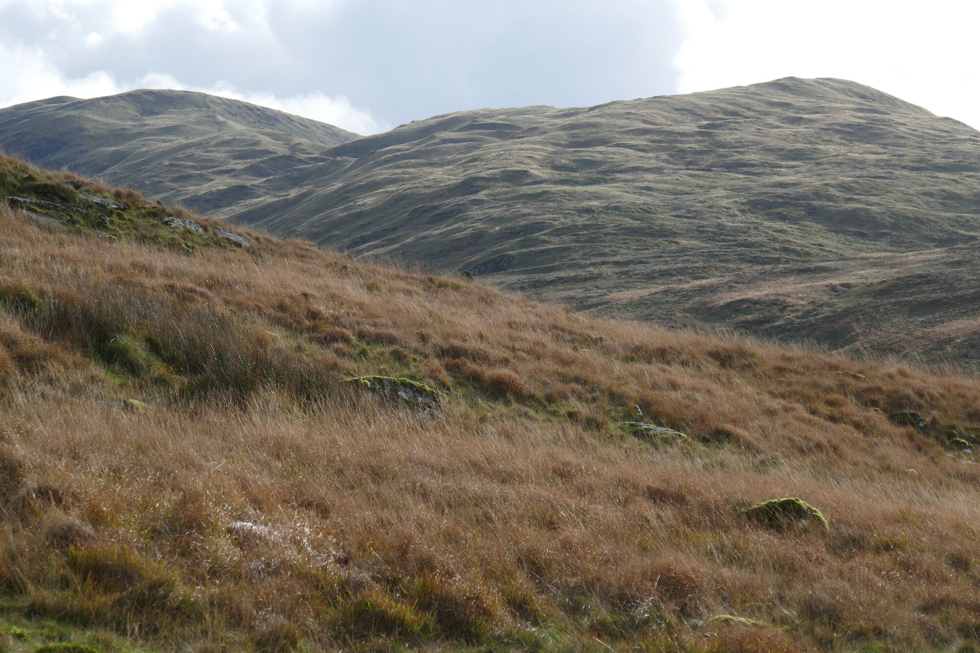
Once you are at about 450m, you will find the gradient levelling off as you approach the saddle between Banc Lluestnewydd and the outlier of Carn Hyddgen. If you don’t seem to be on a path here, check with the OS App and move around until the GPS arrow is centred on the line of the ‘bridle path’ marked on the map. If you continue to watch the arrow, you will manage to stay on the right route, which in places looks to be no more than a sheep track round the hillside. As you go round the ‘corner’ of the hill, Pumlumon Fawr comes into view behind you.
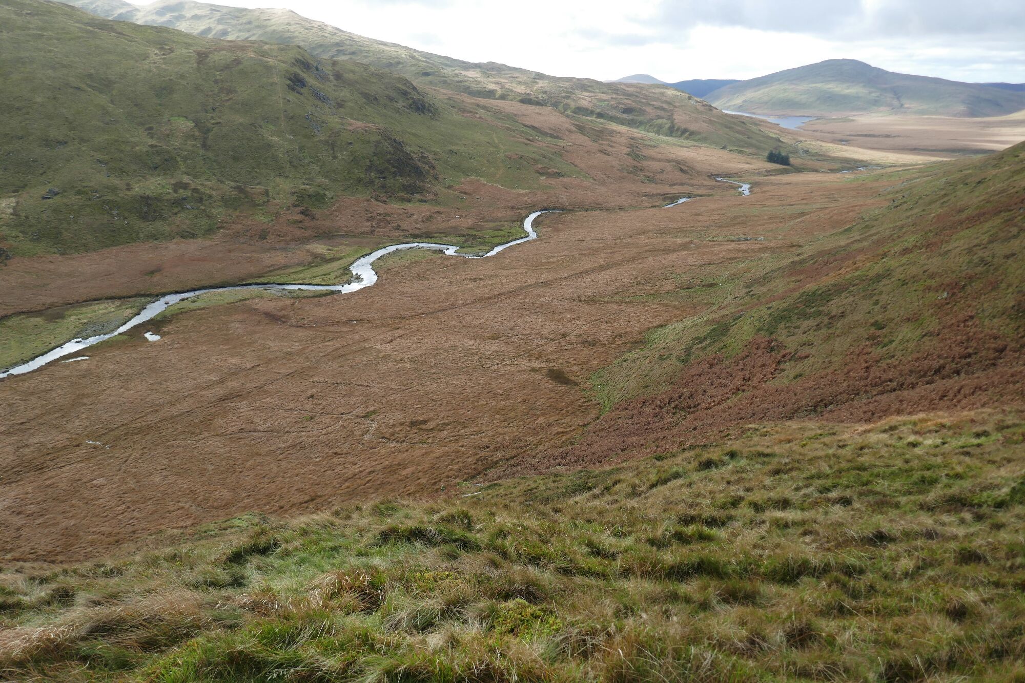
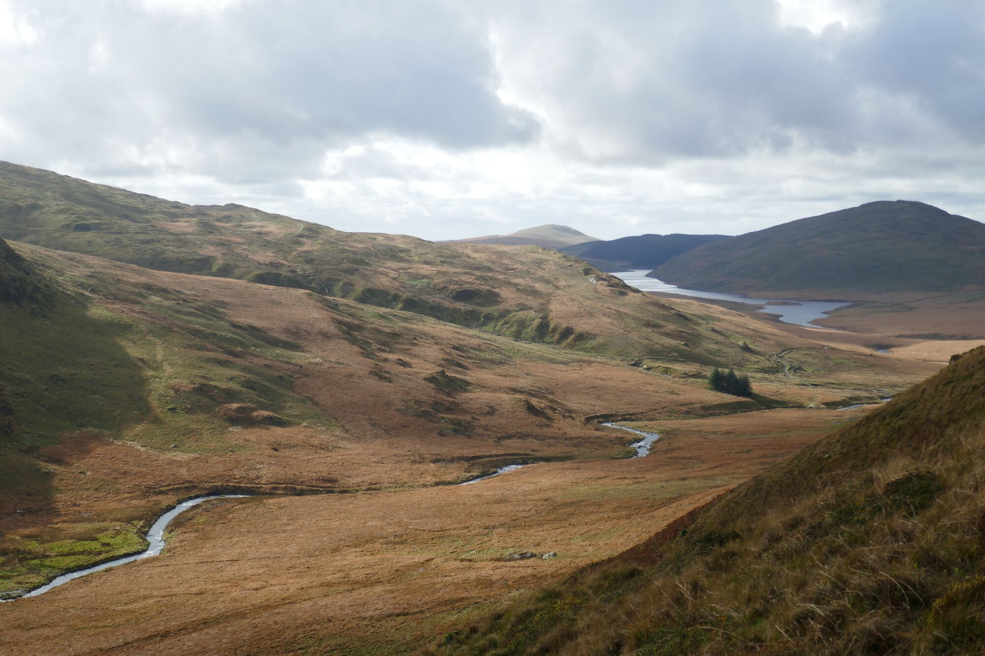
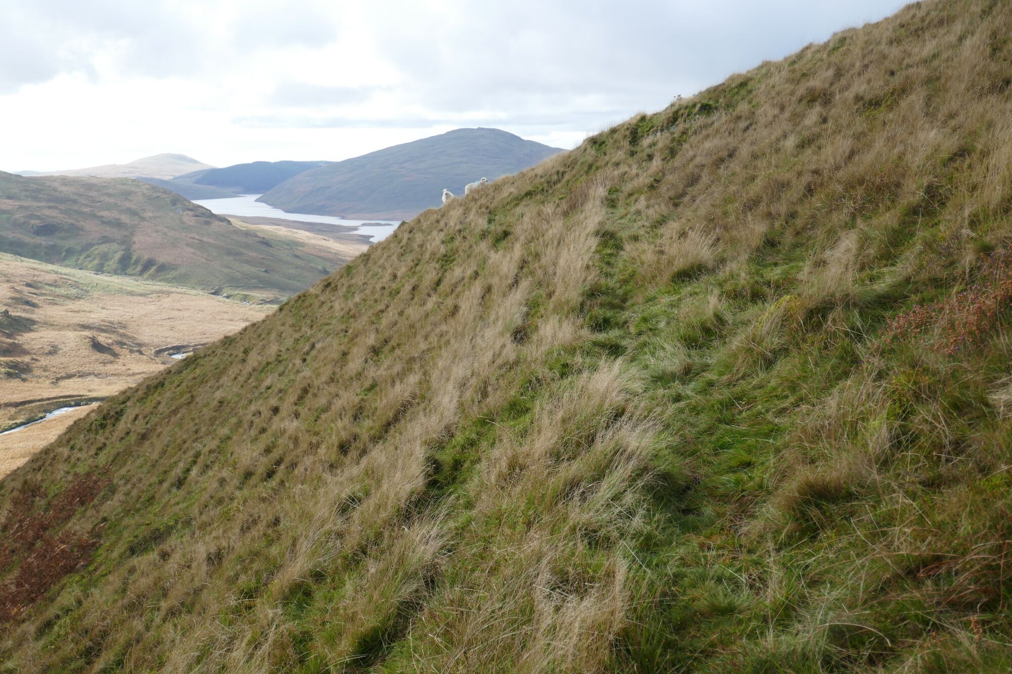
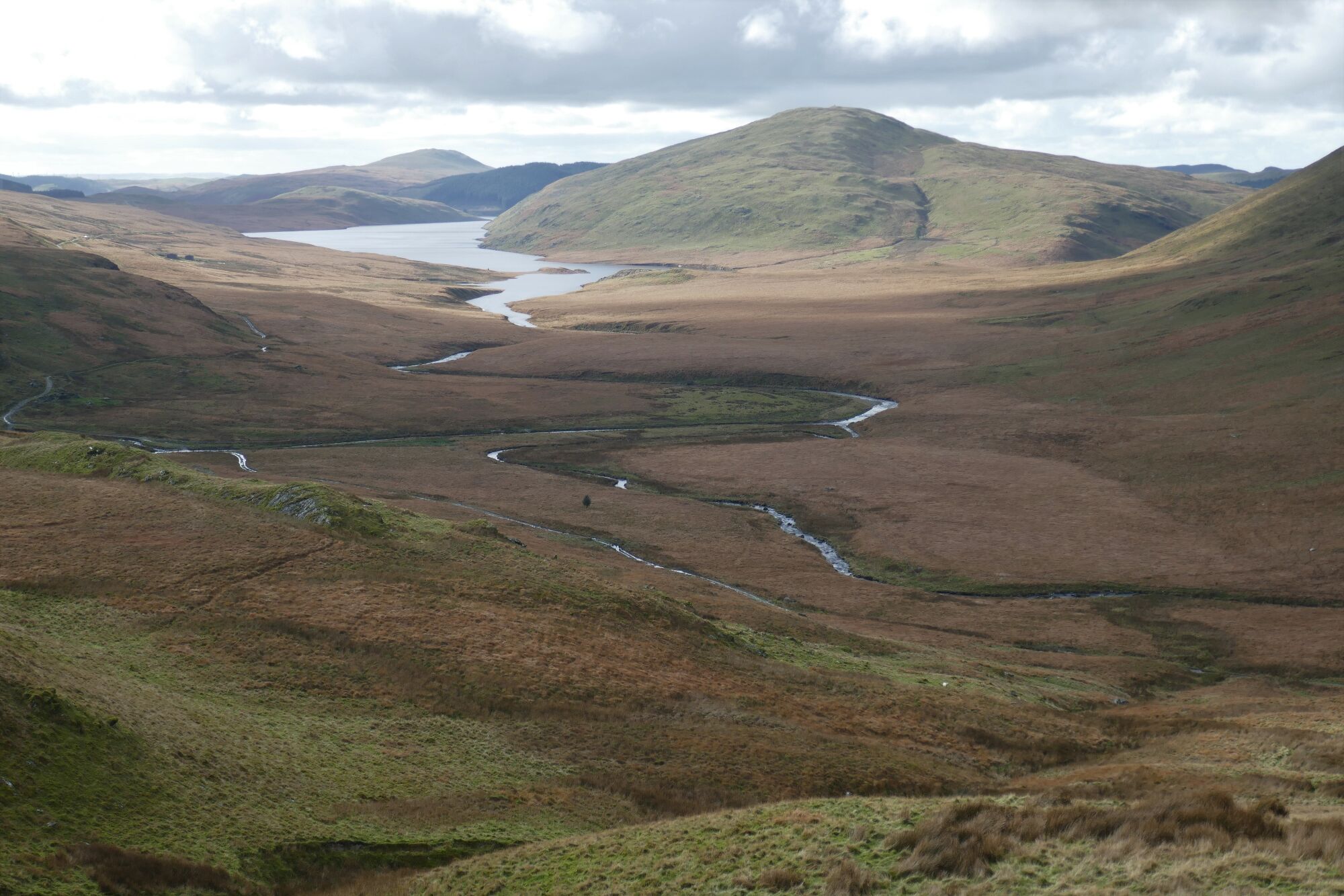
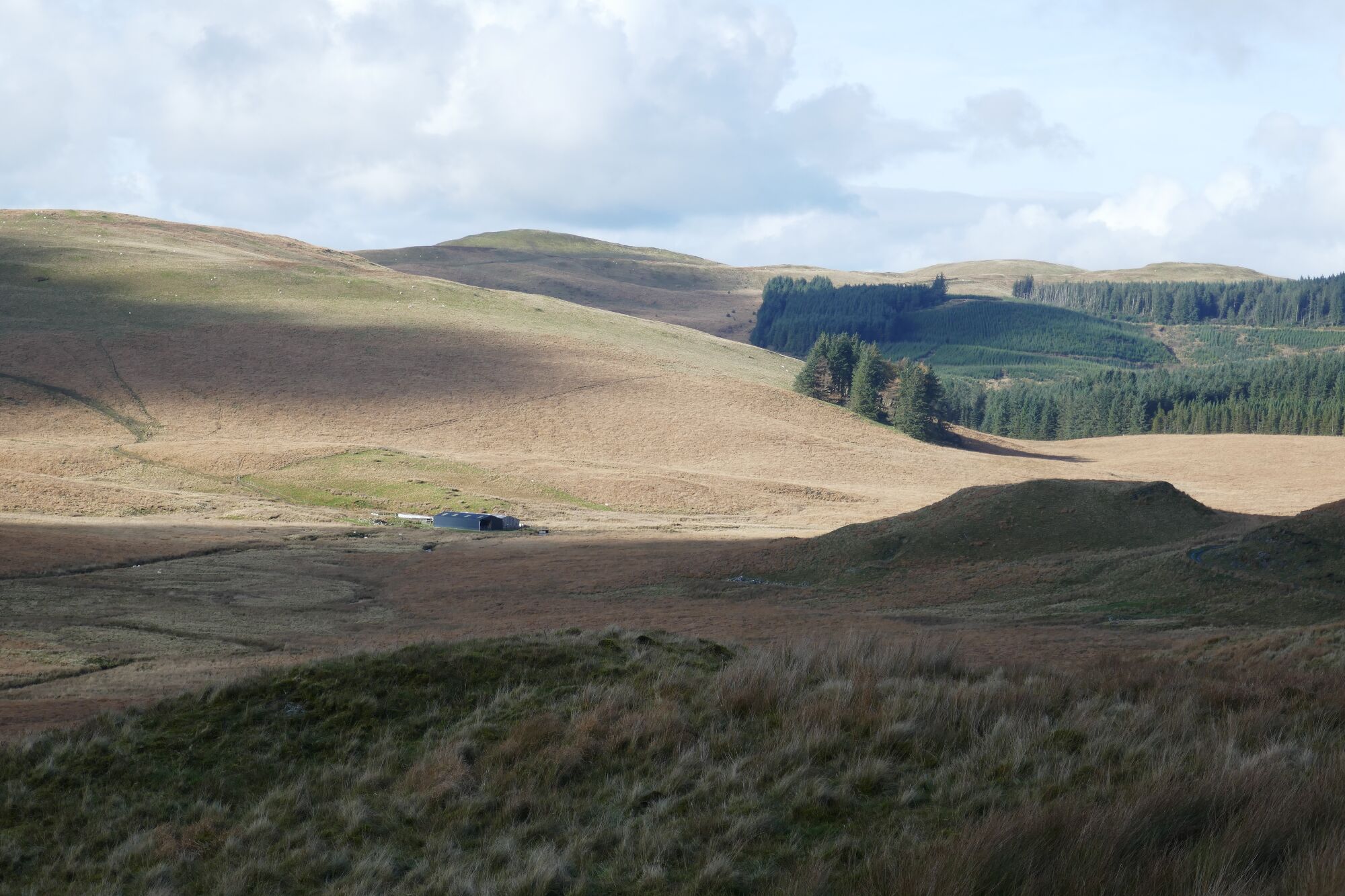
Now a marvellous view is opened out back down Cwm Hwngwm, southwest towards Nantymoch, with the three hills (L to R) being Dysglwylfa Fawr, Drosgol, and Banc Llechwedd-mawr. From here, the path descends gradually in a slightly west of north direction, diagonally across the hillside.
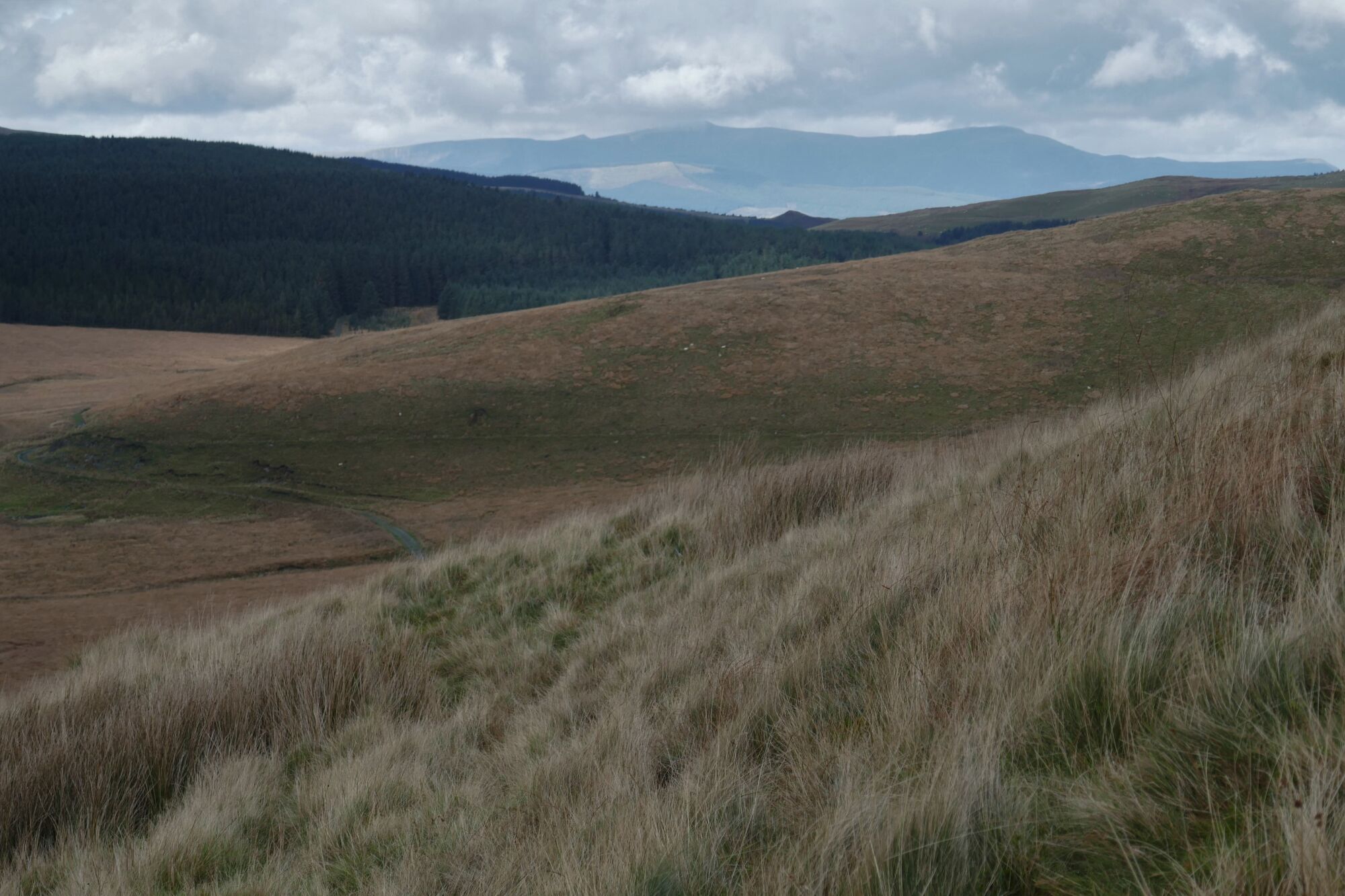
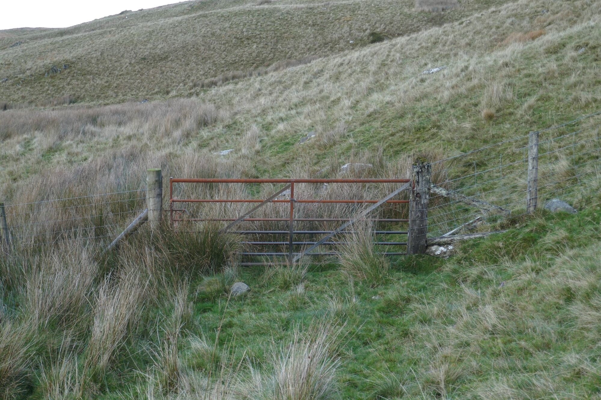
Further round still, looking ahead down Cwm Hyddgen; you get a distant view of the Cadair Idris range to the north, with Penygadair (summit of Cadair Idris) to the left, and Mynydd Moel to the right, Gau Graig on the extreme right. Further on still, you will arrive at a gate (if you are correctly on the path), which is a good landmark. Unfortunately, this gate across a public bridle path is unopenable, so you have to climb over it. Soon you will also see a good winding track down to you left and the lonely farmhouse of Hyddgen in the middle distance.
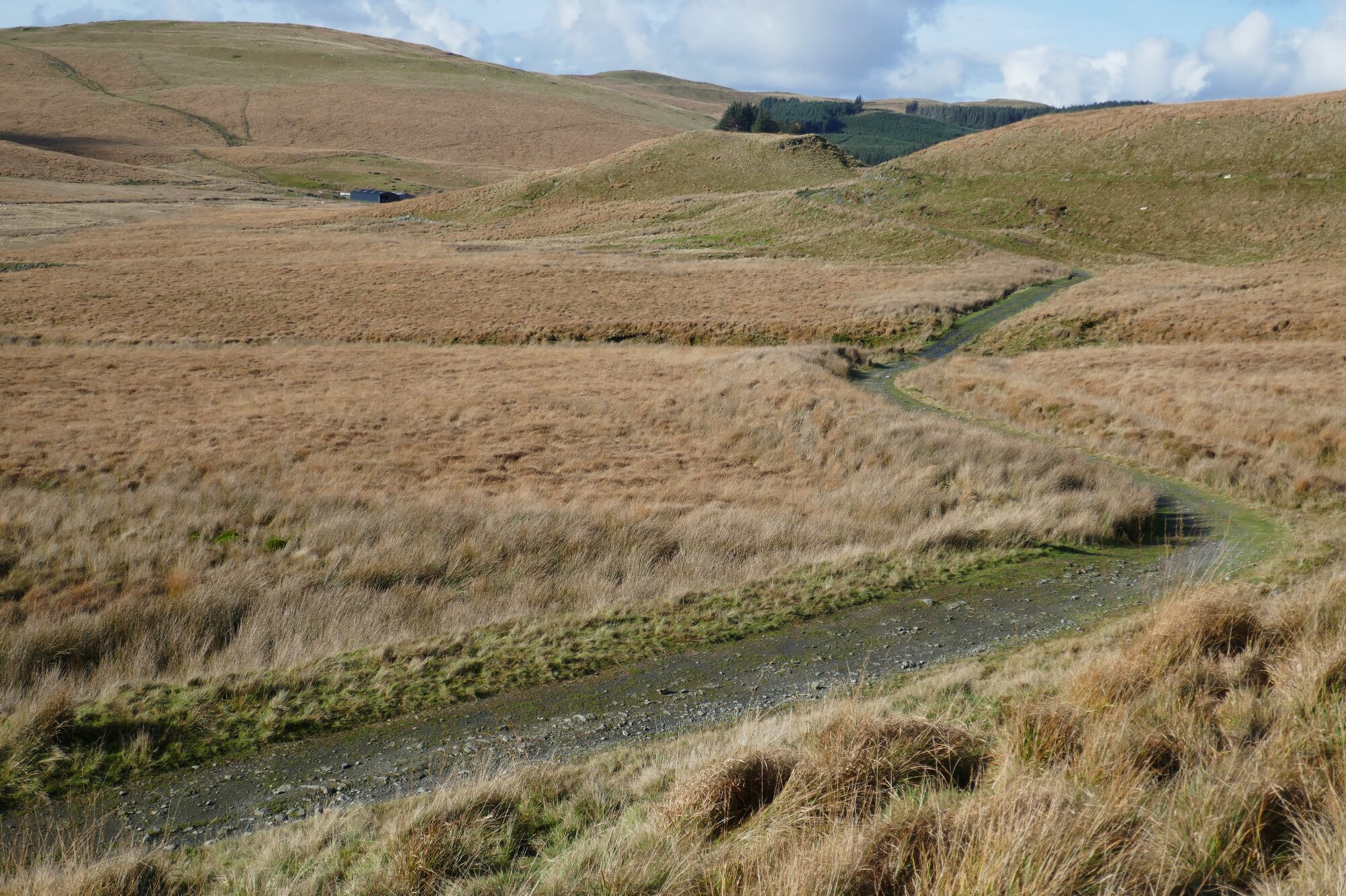
Keeping straight ahead, you will reach the track, where you turn sharp left, almost back on yourself.
The track is very easy walking after the recent struggles across the hillsides, with a great view of Pumlumon Fawr and Pumlumon Fach straight ahead.
In about half a kilometre, try to spot a faint path off to the left which leads to the footbridge. If you miss it, don’t worry, you will arrive at the ford, and you can walk along the edge of the fenceline on the tussocks to get to the bridge.
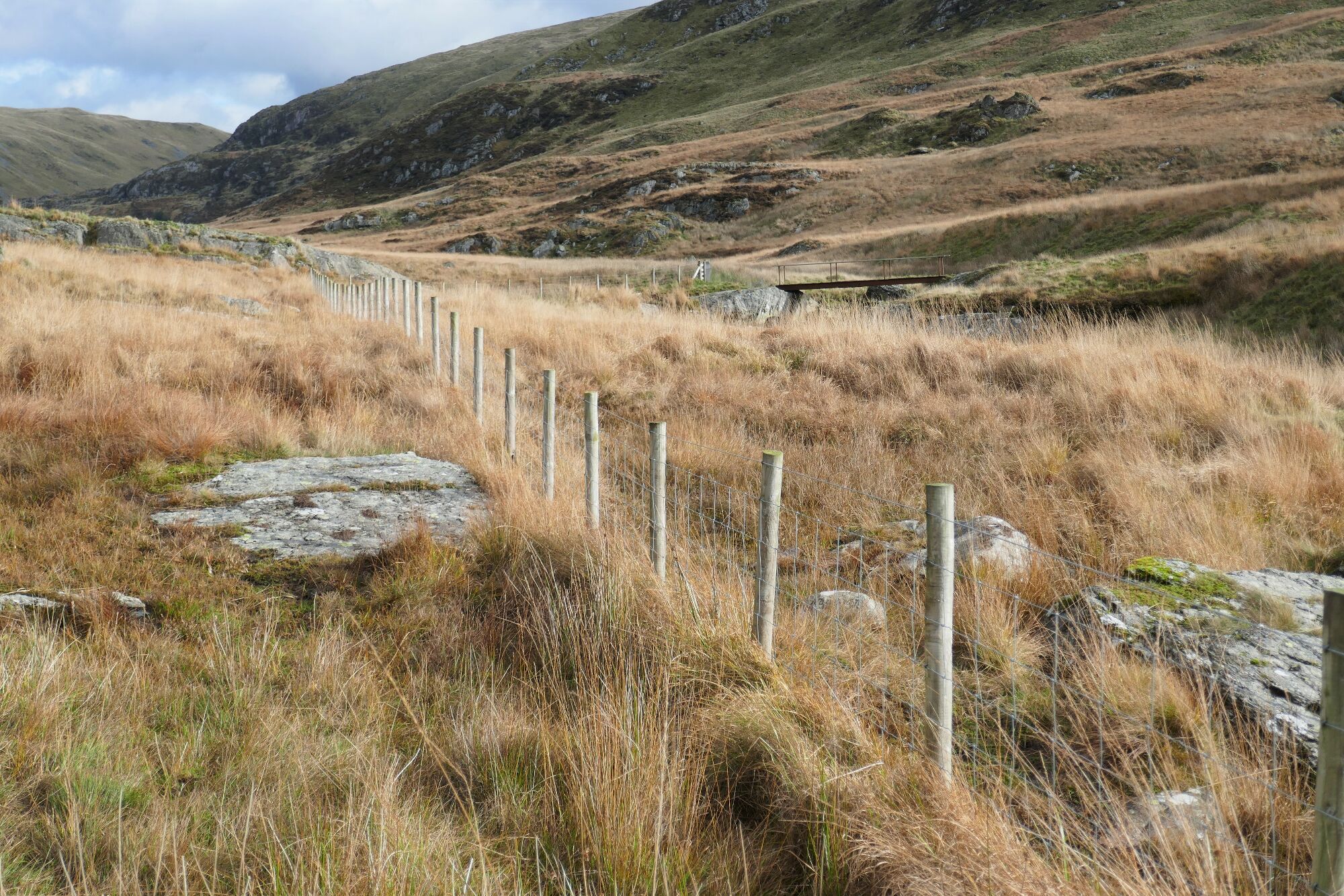
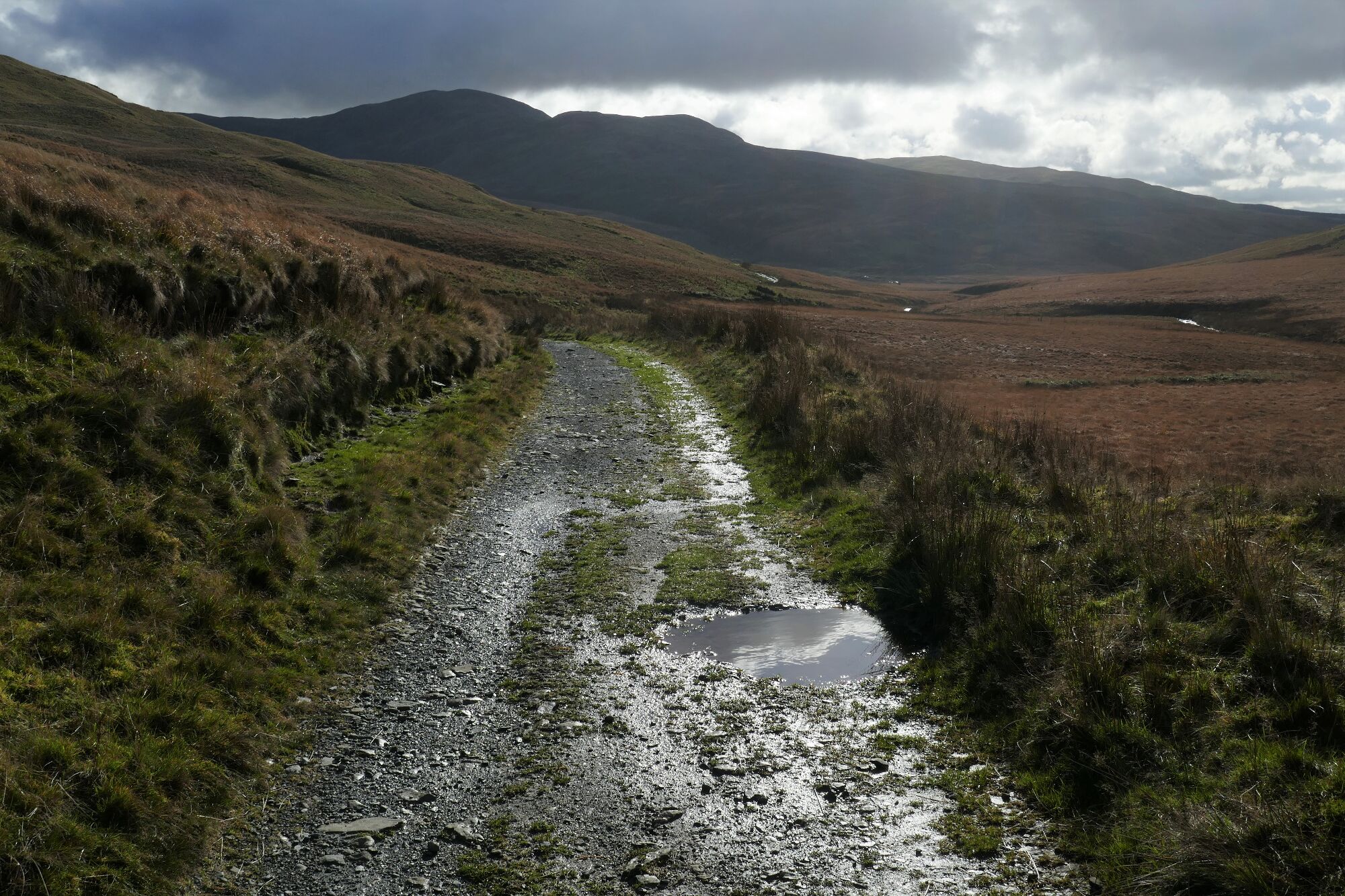
After crossing the bridge, unfortunately you still have about 2km of walking back along the stony track, which involves a fair bit of uphill, when you least need it!
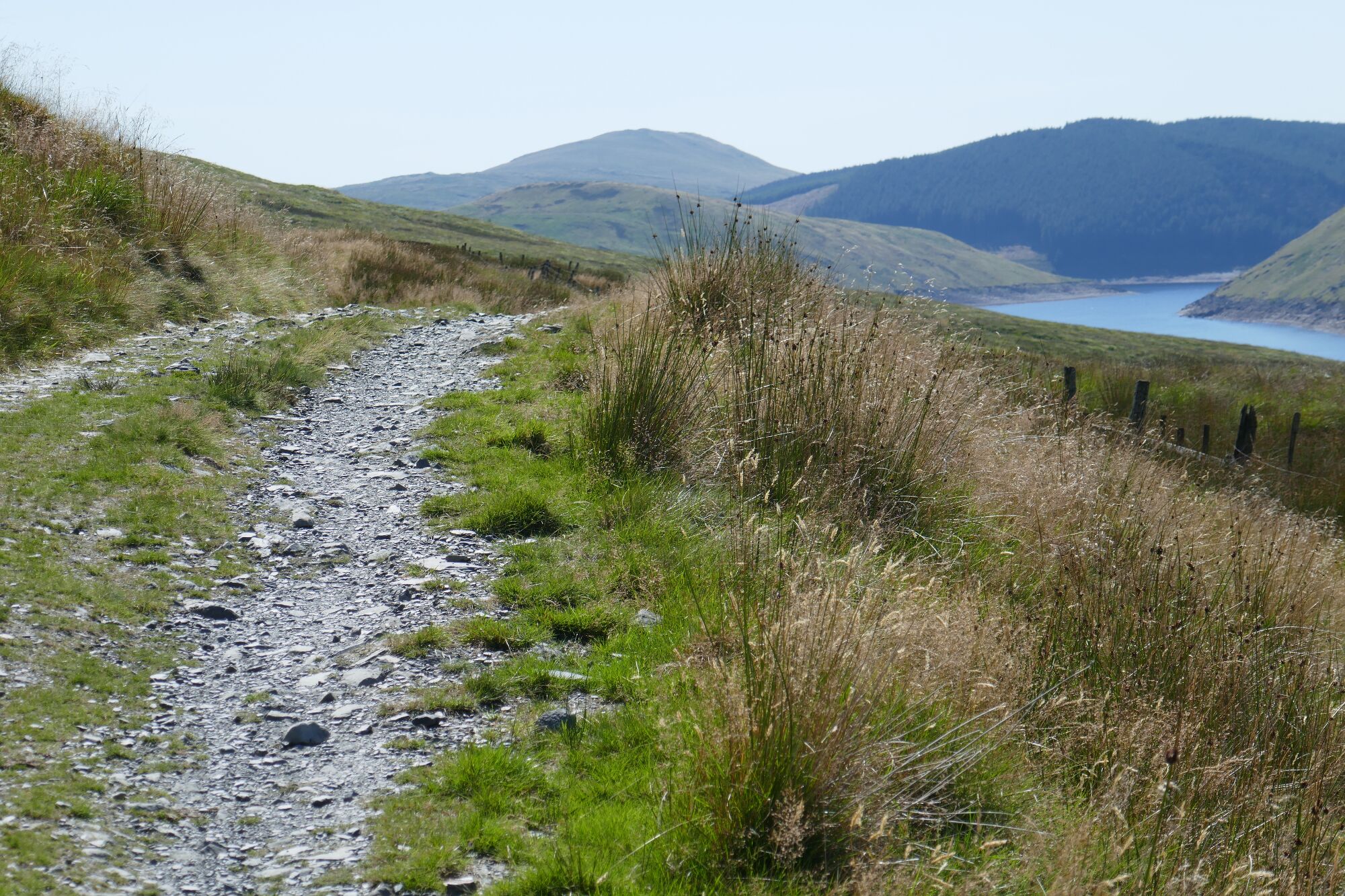
Your compensation is the change in scenery as you stroll back to the starting point, from rugged and uncompromising to the gentler lakes and forests in the distance.
Paul Campbell:
Jul 04, 2024 at 12:03 PM
I love the shots of the river running through the valley there, the vast open space just looks really nice. You captured it perfectly.
Maurice Kyle:
Aug 14, 2025 at 08:08 PM
Many thanks, Paul!
Daniel Ryan:
Apr 15, 2025 at 08:42 AM
Loved reading this article and looking at the photos. I was lucky enough to spend 2 nights hiking and wild camping on Plynlimon and one of these remote valleys too. I didn't see a soul and it was all the more special because of this. The bog in Hengwym Valley was all boot consuming though! Keep up the good work.
Maurice Kyle:
Aug 14, 2025 at 08:10 PM
Thank you Daniel, it is a very special place, and deserves protection (National Landscape?)from impending industrialisation...