


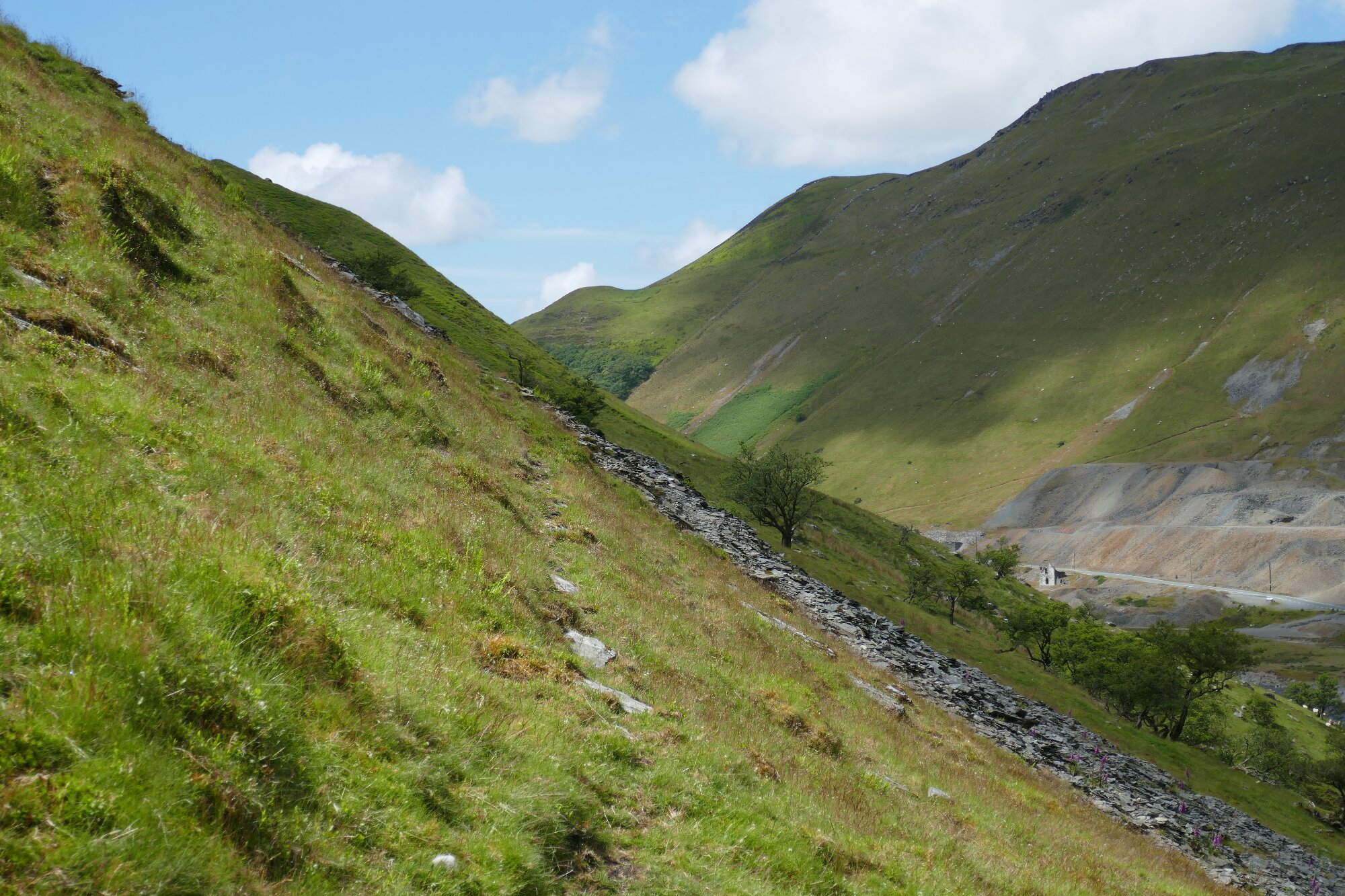
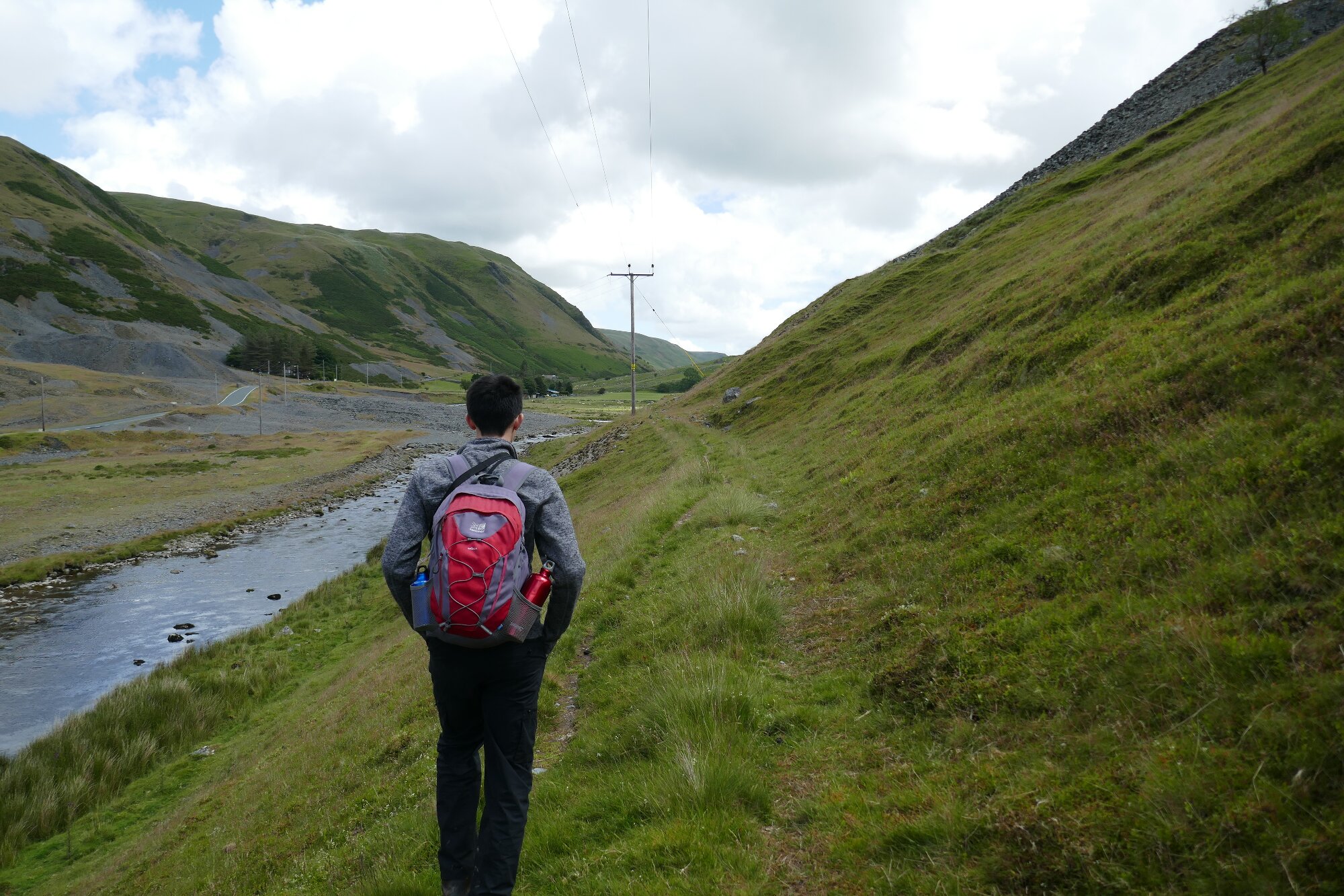
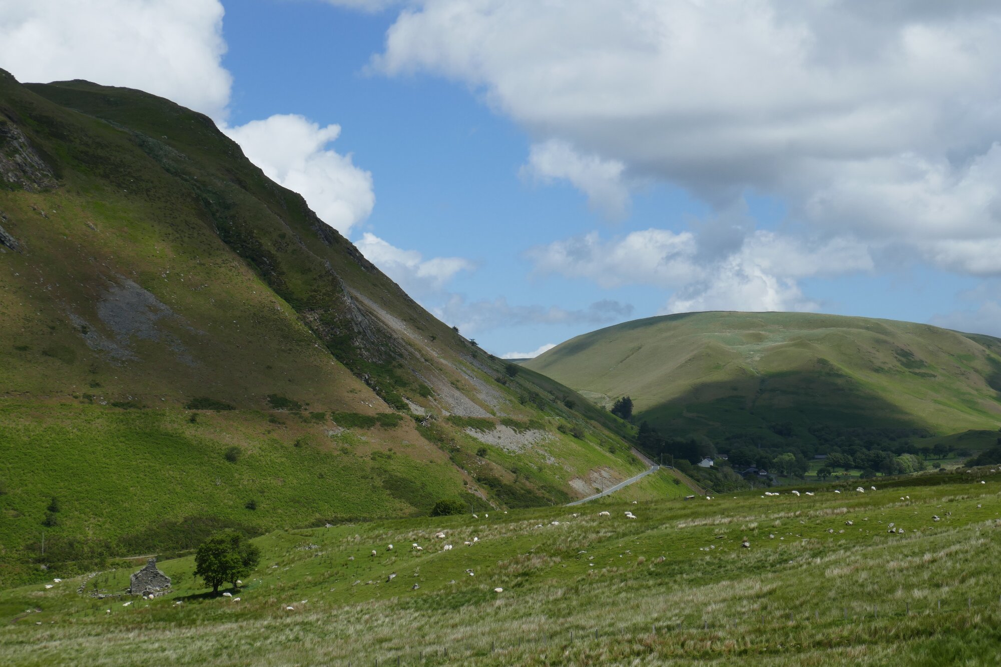
Some of the most dramatic mountain scenery in Ceredigion is found in the vicinity of Cwmystwyth, a former lead/silver mining village which offers this superb circular adventure. This is certainly not often walked, being close to the more gently verdant Hafod estate, and although not particularly long, is challenging in its steep ascents, rough going underfoot, and the necessity for careful route-finding. Be very wary about trying this wild route in winter, or in bad weather… you will need to use map and compass. However, the rewards are magnificent, with rapidly changing scenery and countryside of immense character. Here we experience first the steep-sided and craggy Ystwyth valley, followed by an awesome taste of the great ‘green desert of Wales’, with the conical hump of Domen Milwyn providing a focus. It has to be said that there are two significant problems to be overcome. First, transport; there is no bus service, and parking in Cwmystwyth is a real problem. The only recommended parking is at the Start/Finish point on the map, which adds about 3km to the total walked distance. Secondly, at the time of writing, the public right of way (Between Points 5 and 6) close to the village is significantly blocked by overgrowth, and it would seem justified to divert (see detailed instructions below).
(opens in new tab):
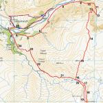
of starting point :
If coming from Aberystwyth, reach Cwmystwyth by turning right immediately behind the Hafod Hotel in Devil’s Bridge.
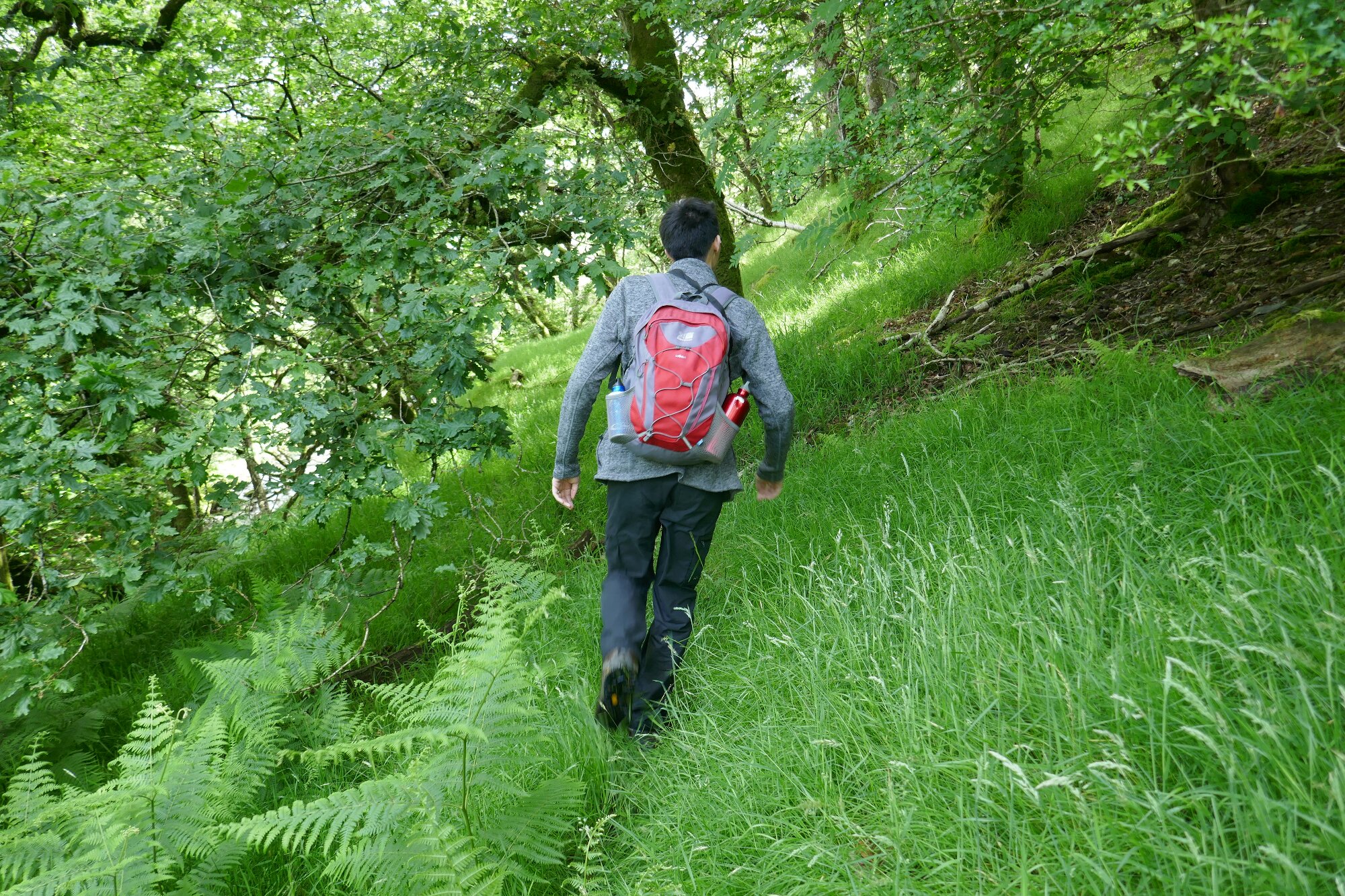
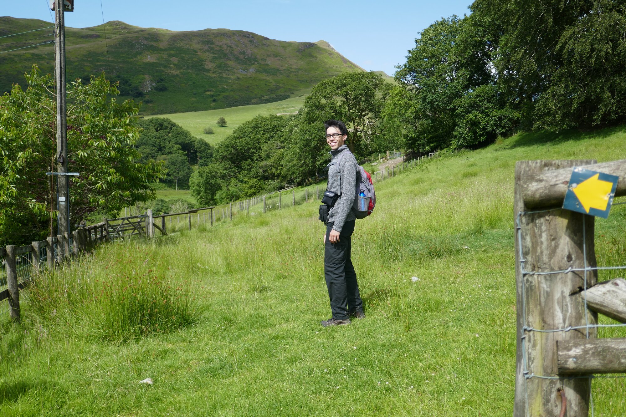
From the parking space by the side of the road, walk back along the road towards Cwmystwyth, then very soon, just after the first cattle grid, take the signposted path off to the right (See blue/red dashed line on static map). The path rises gently at first, then sharply, and eventually descends to the village where you turn left to arrive at Point 2 on the map.
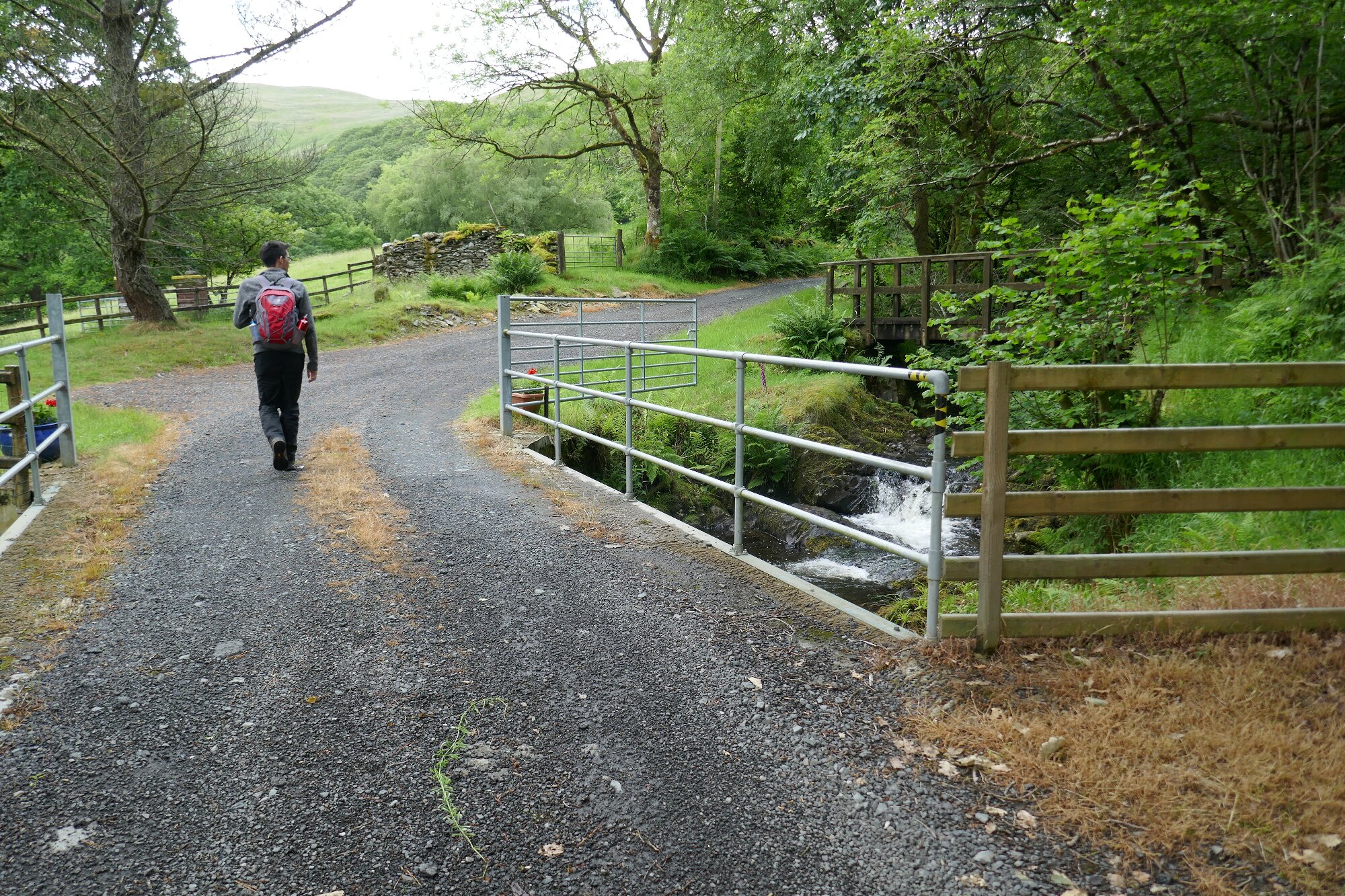
Walk along the road until you get to a tiny lane off to your right which leads down to the bridge over the river.
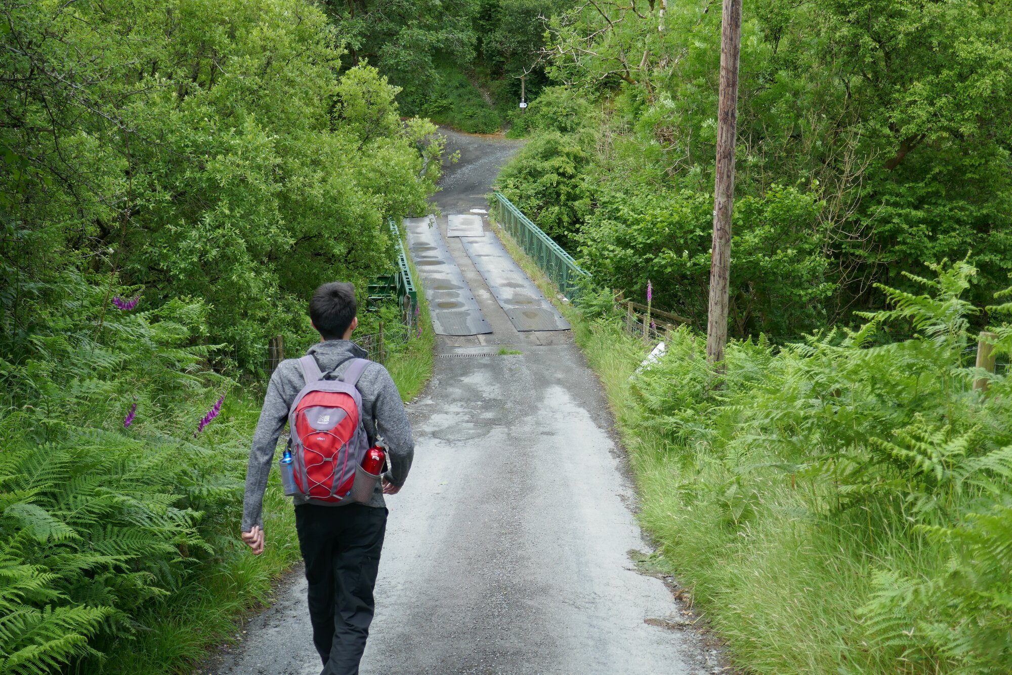
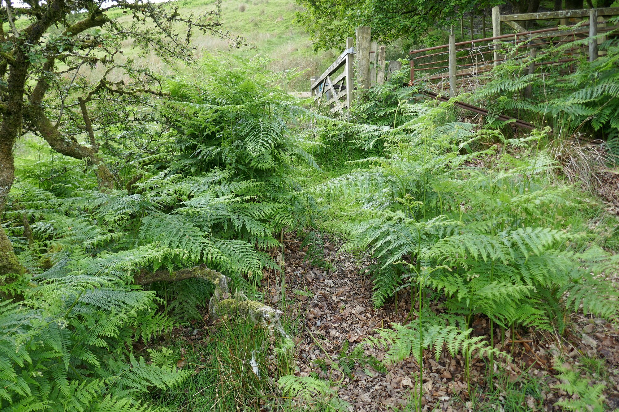
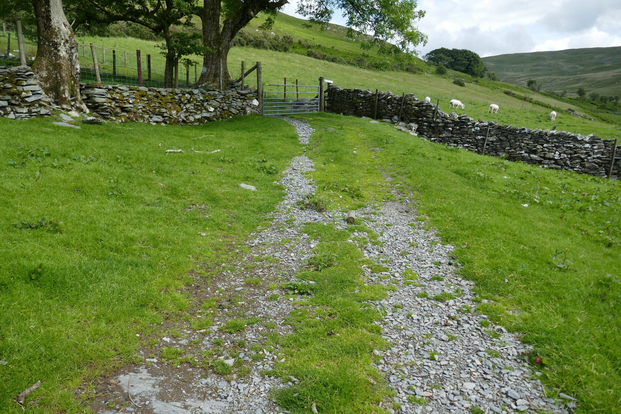
Immediately after the bridge, turn left over the Nant Milwyn, follow the track to the right, and look out for the waymark sign left pointing into the open field via overgrowth.
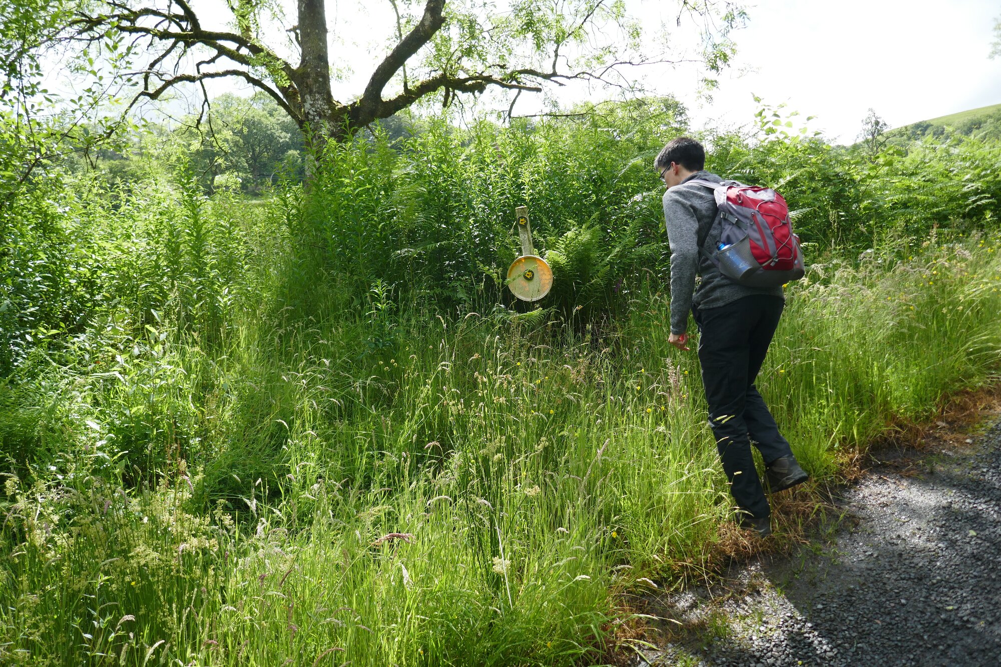
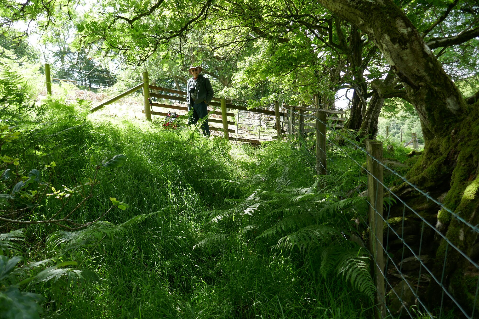
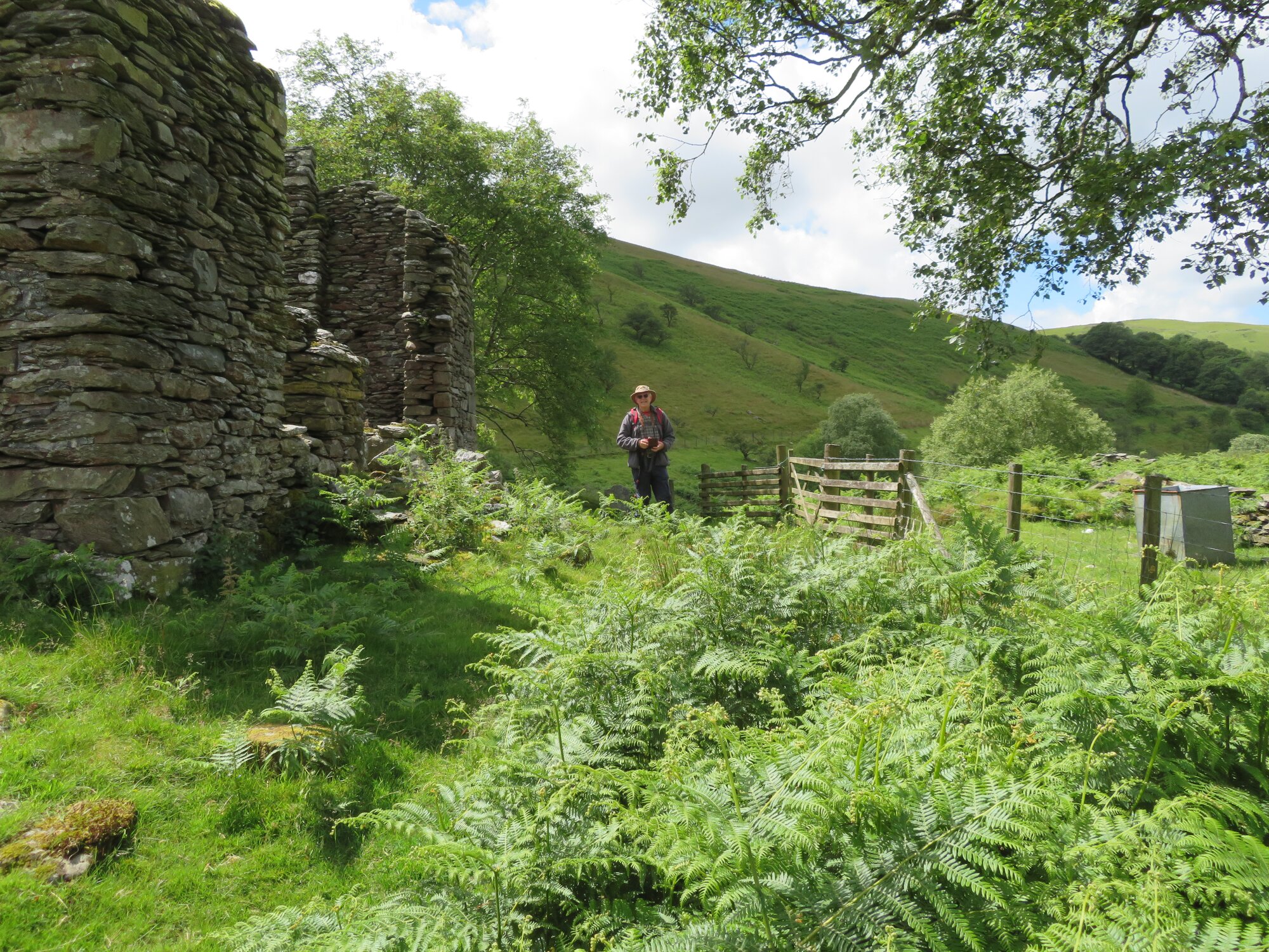
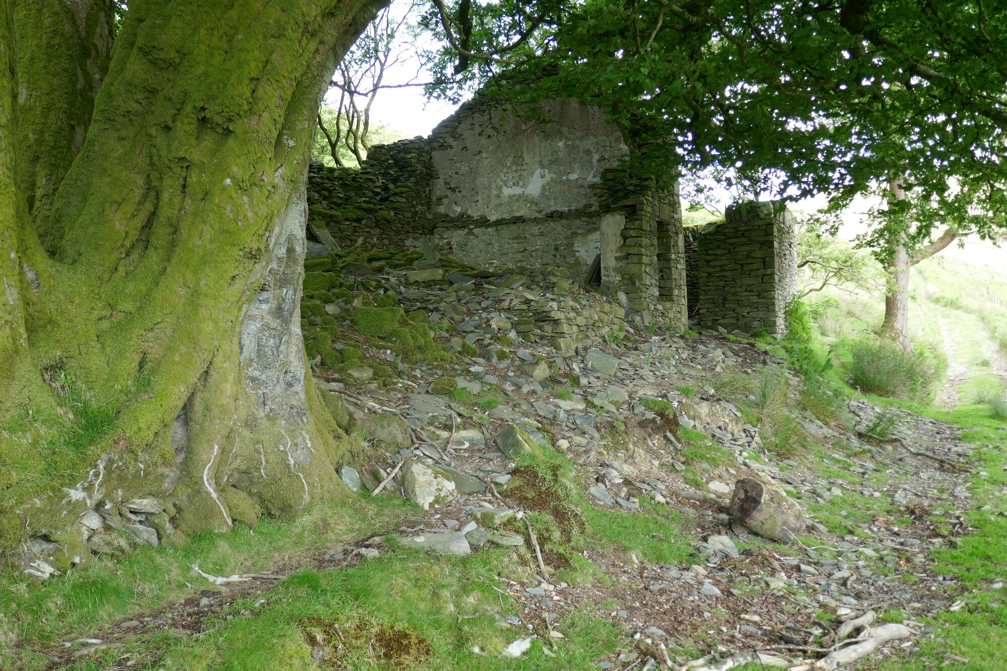
Now head across the meadow, keeping more or less on the same level, heading towards a pole, a ruined building and metal gate hidden in the trees.
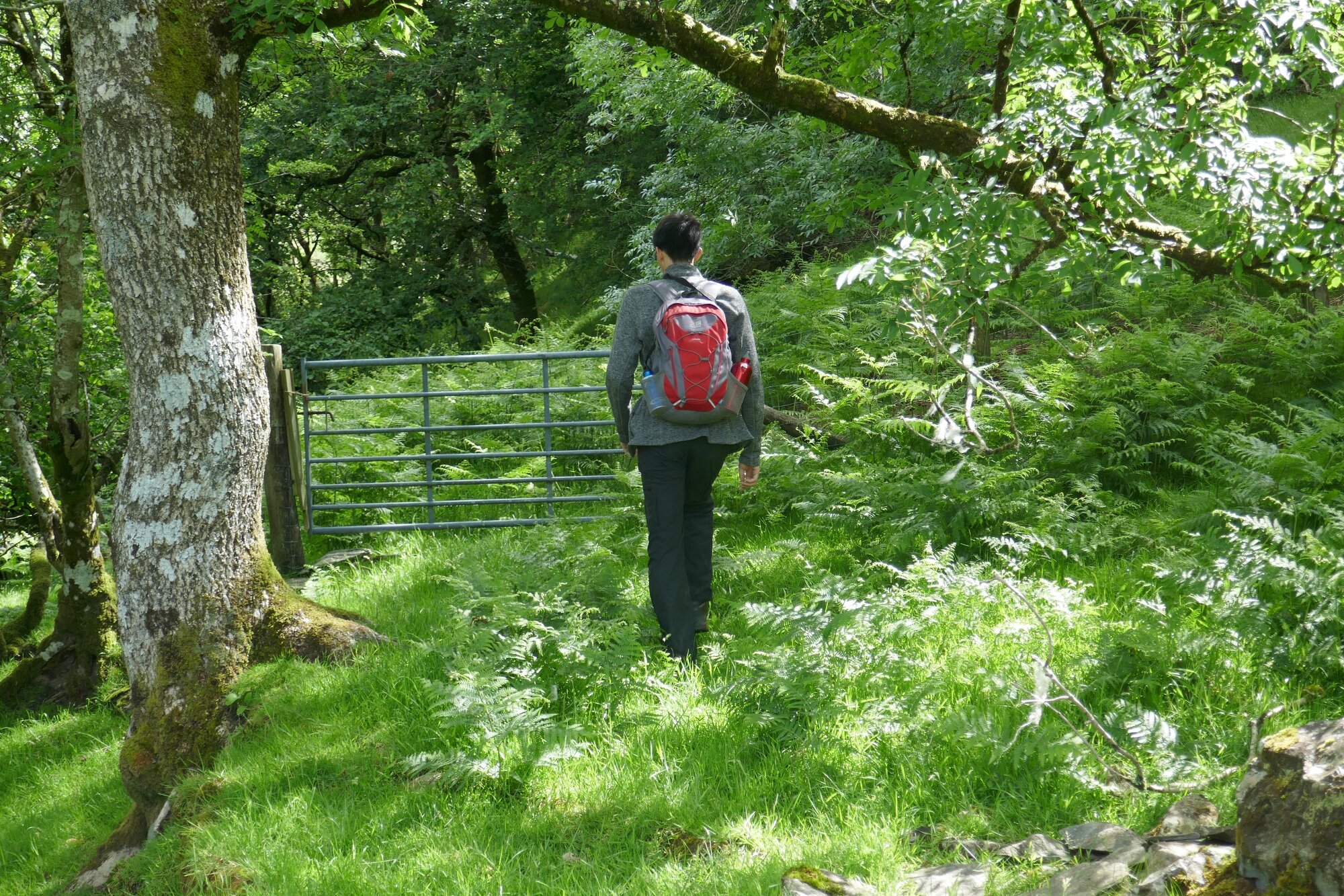
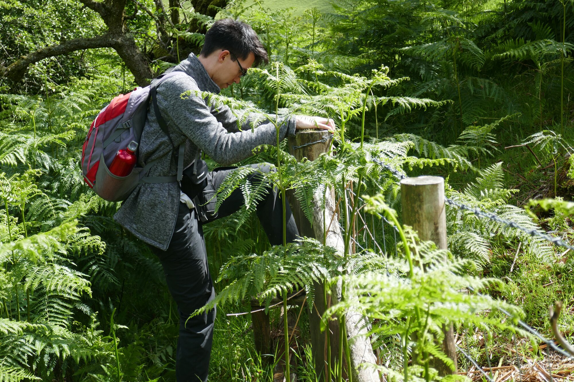
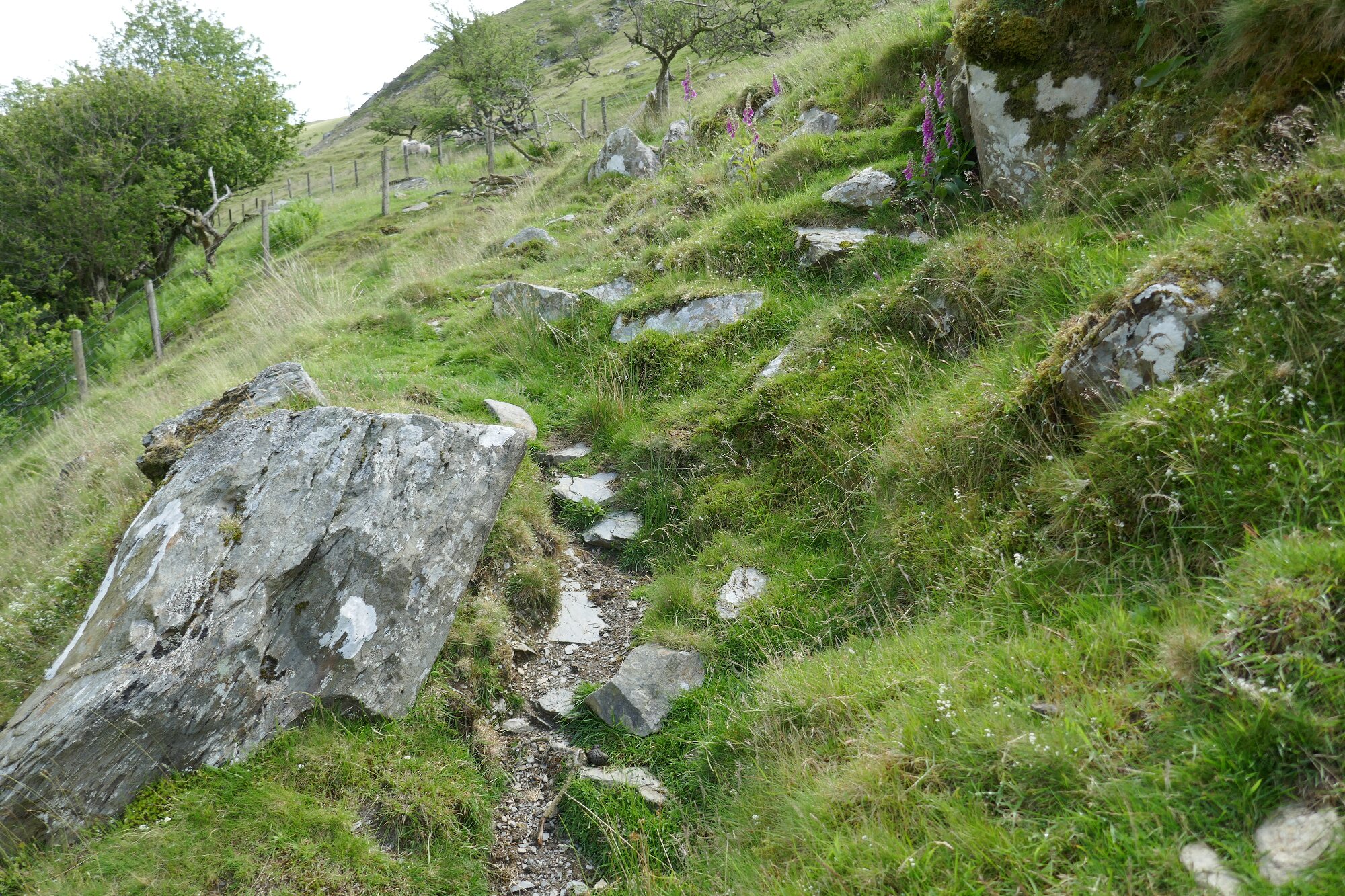
Go through the gate. The public right of way now climbs diagonally through overgrown woodland, with scrub and fallen trees on the side of an awkward steep slope, very difficult to follow but eventually arrives at a stile across a barbed wire fence. Then turn left and carry on to Point 6. At the time of writing, the stile was almost impossible to find in dense bracken, and we think it reasonable to regard this section of ProW as impassable. I am currently engaged in finding ways to have this cleared and marked.
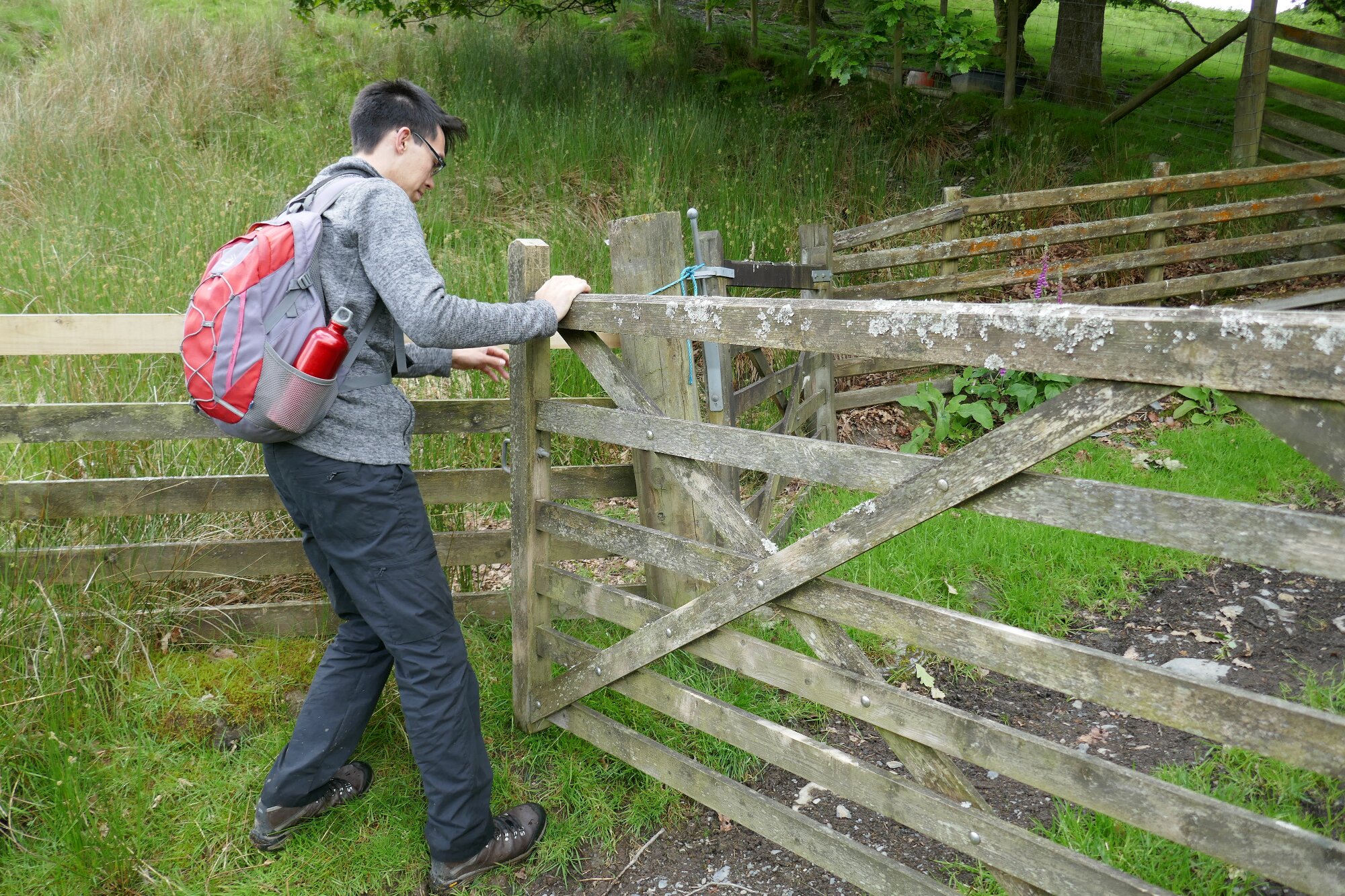
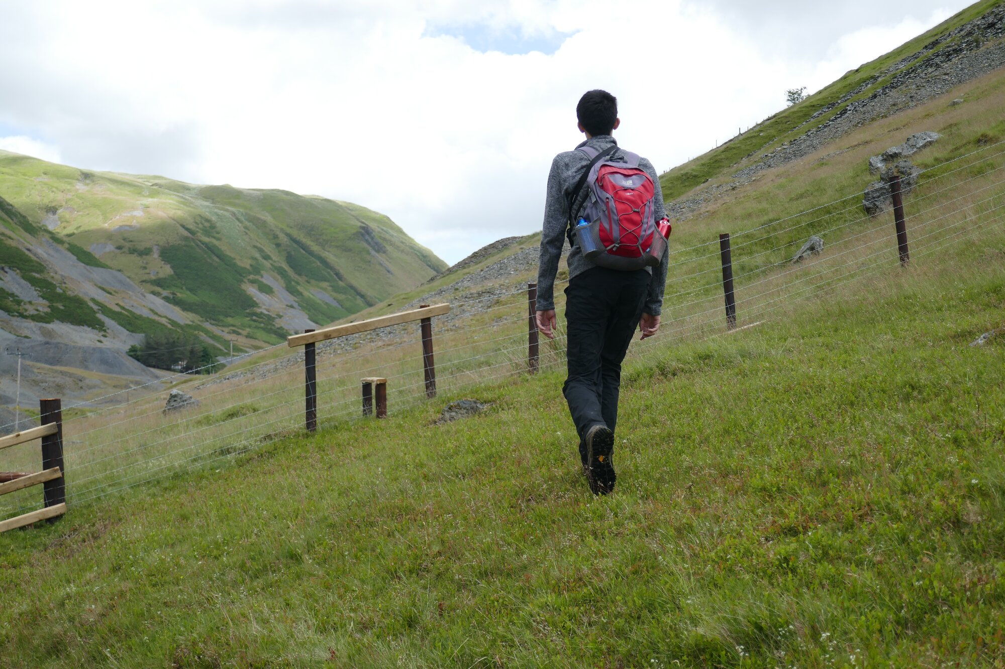
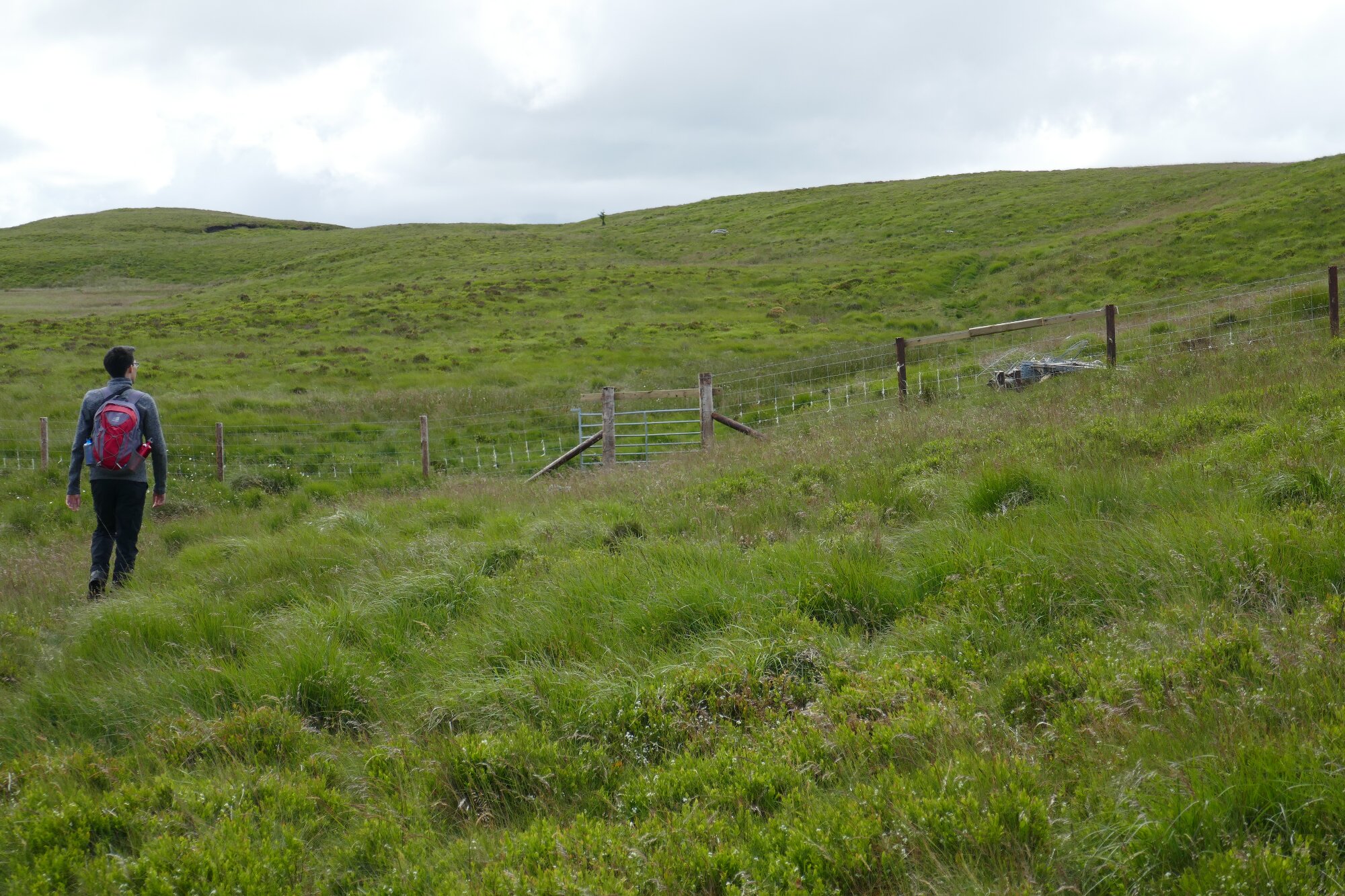
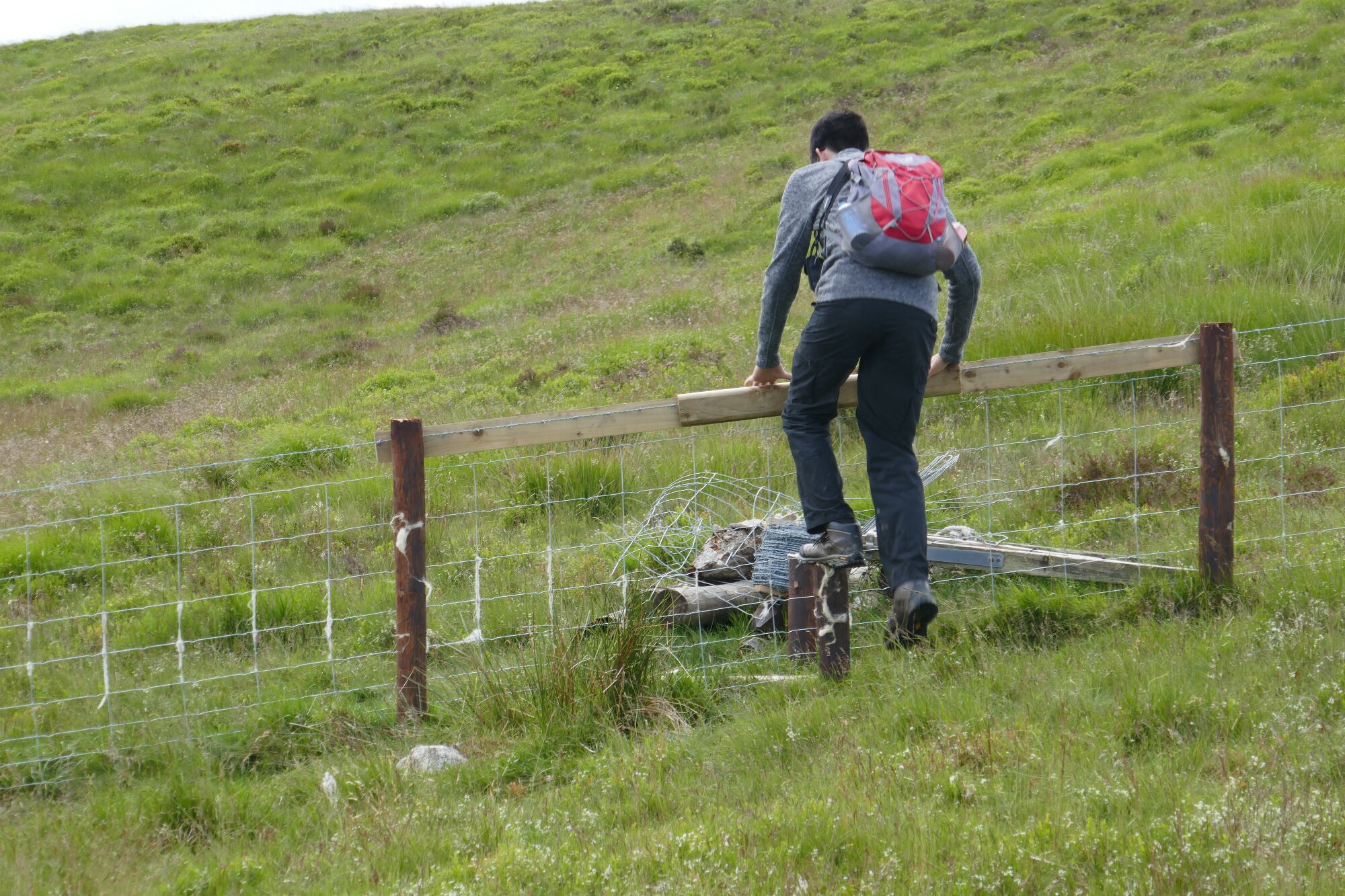
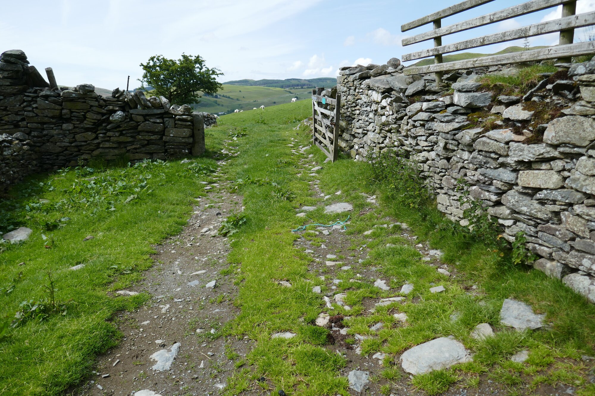
In the meantime, the reasonable alternative is to turn right immediately after the metal gate at Point 5, climb uphill and arrive at the corner of fences where there are wooden bars to climb over. Then turn left and walk alongside (to the left of) an upper wire fence up to Point 6.
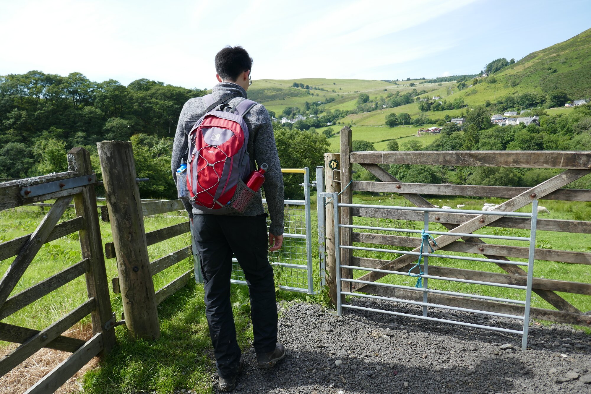
At this point, there is another ruined building amongst trees, and a double gate system up to the right of it. Be careful here to avoid going downhill on a clear track… instead go up and through both gates and walk to the right of the fence, which is in Access Land.
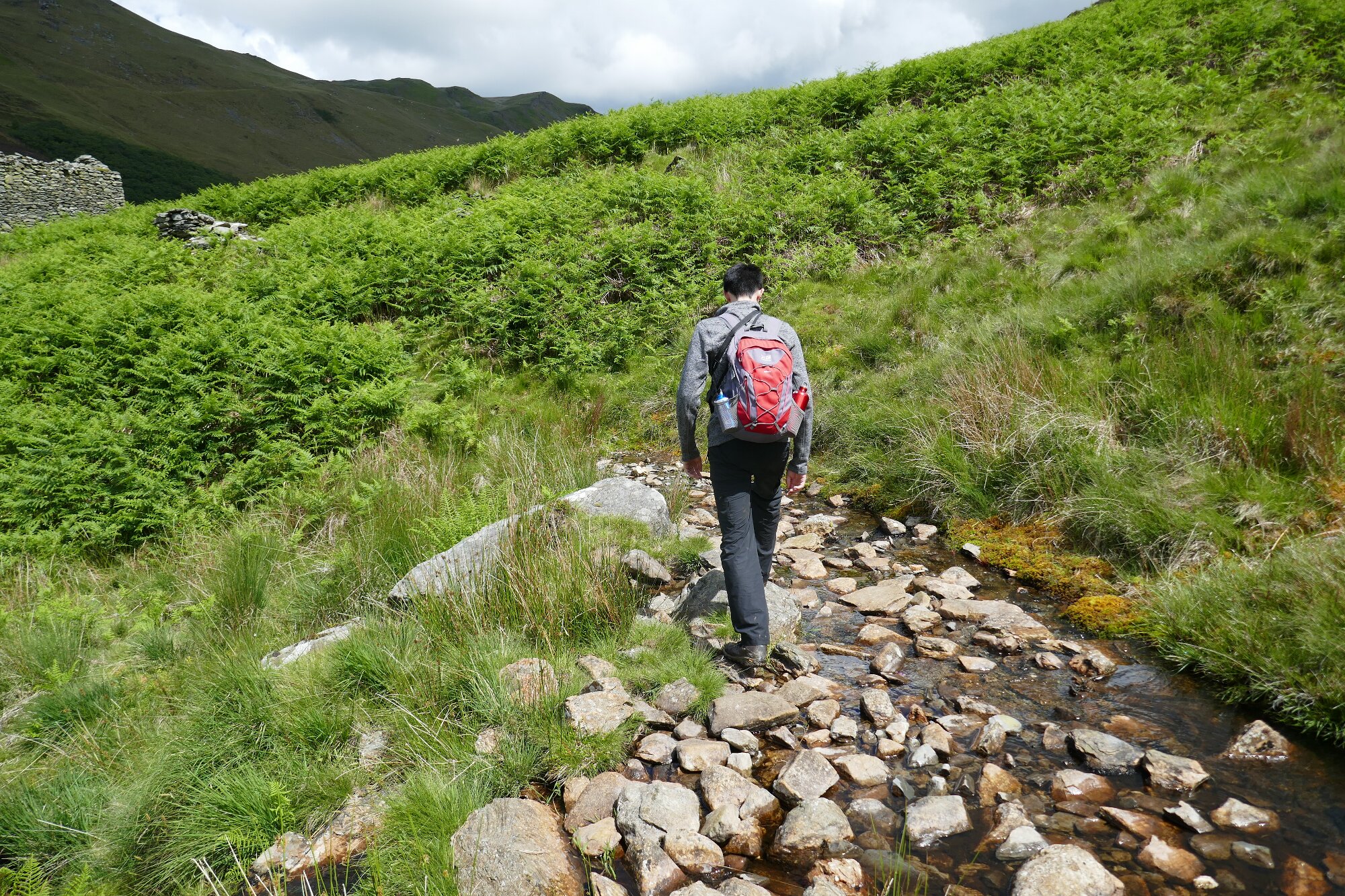
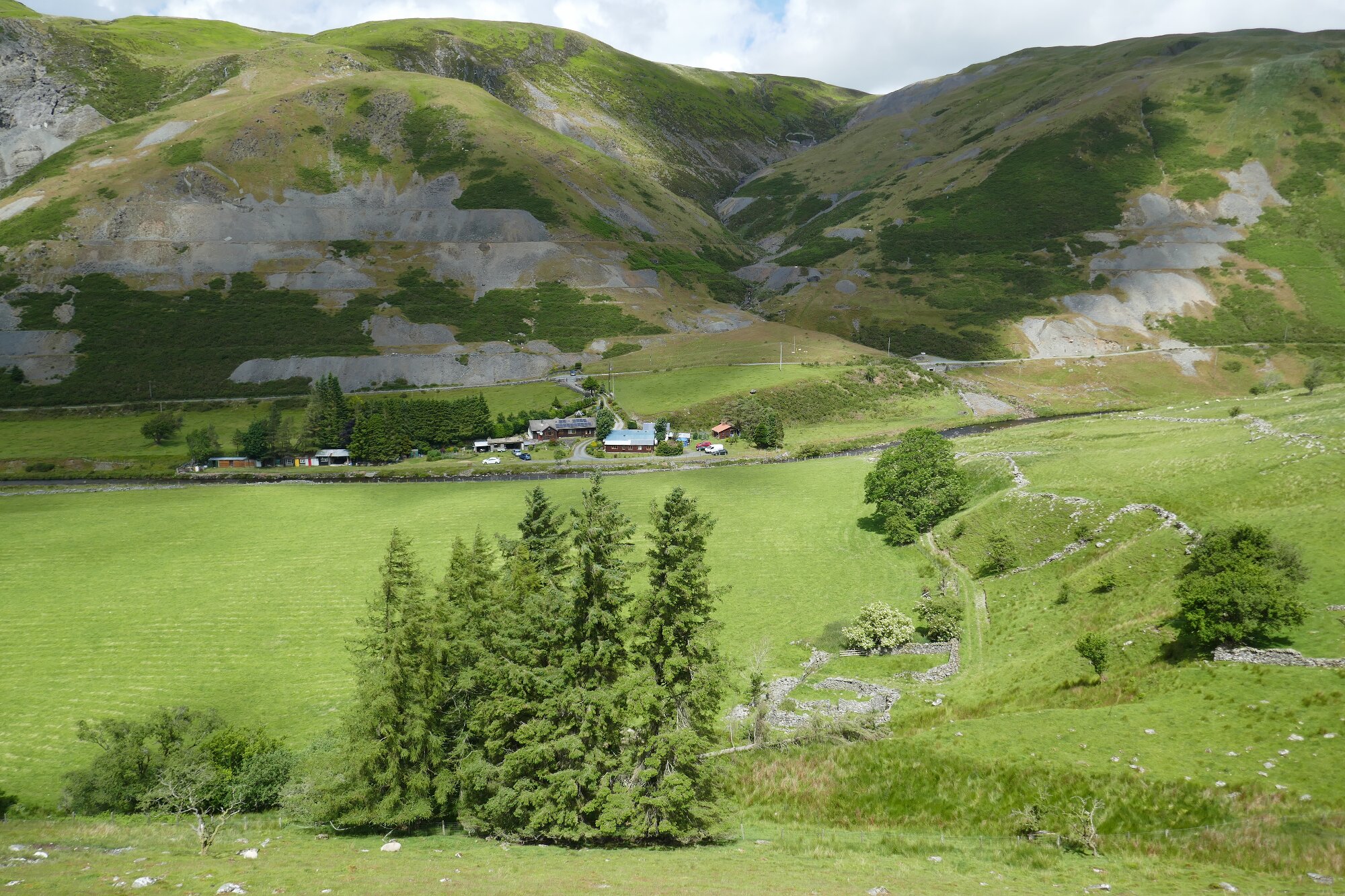
Most of the problems are now over, and the path is obvious, if overgrown and a little boggy in places. Rounding a stream-bed gully, it crosses the stony stream and arrives at Nant-byr, yet another ruined building.
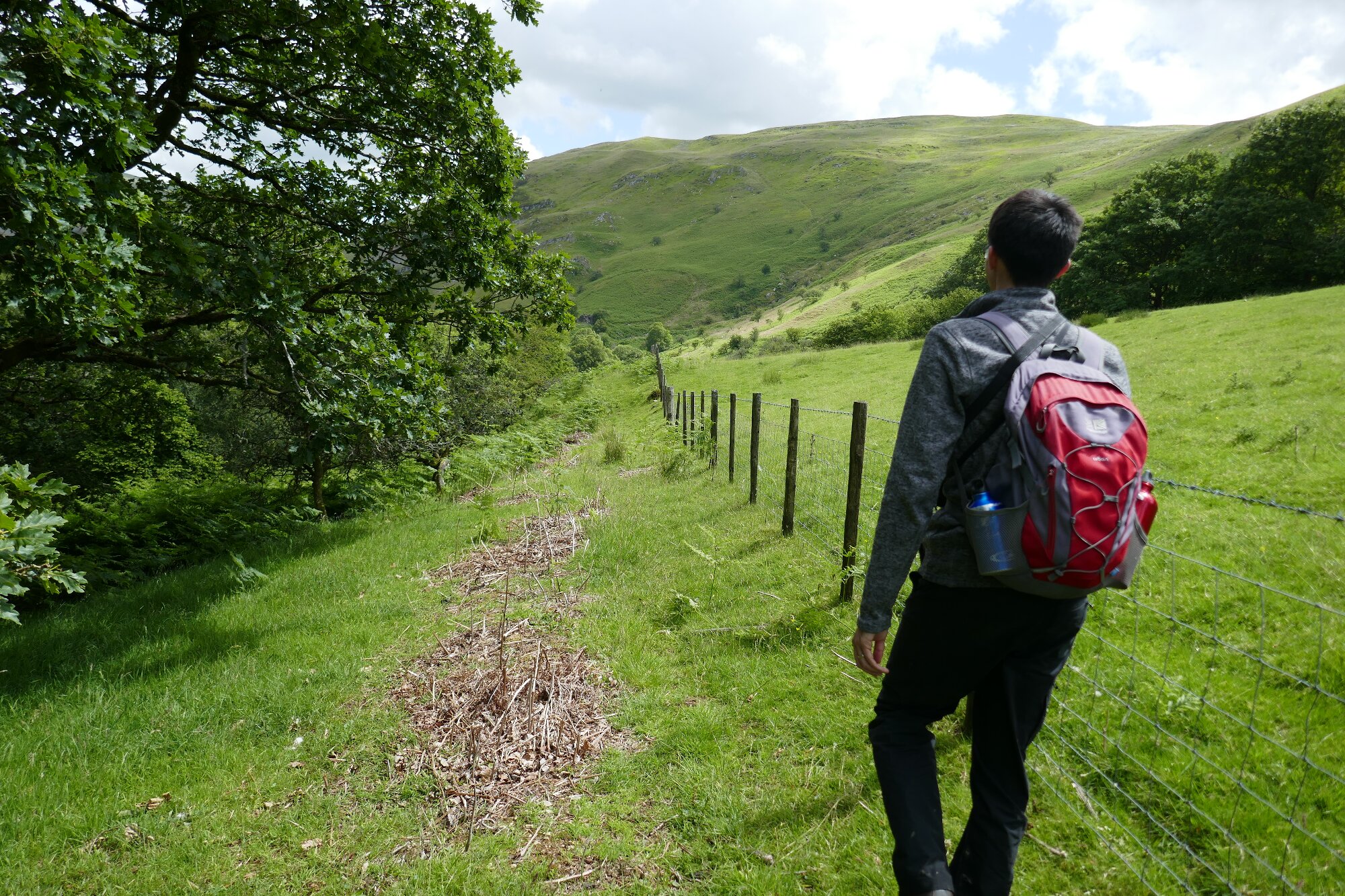
Now the way becomes much clearer and more open, descending gently towards the river, then levelling off, passing old waste tips and the odd ruined mine building.
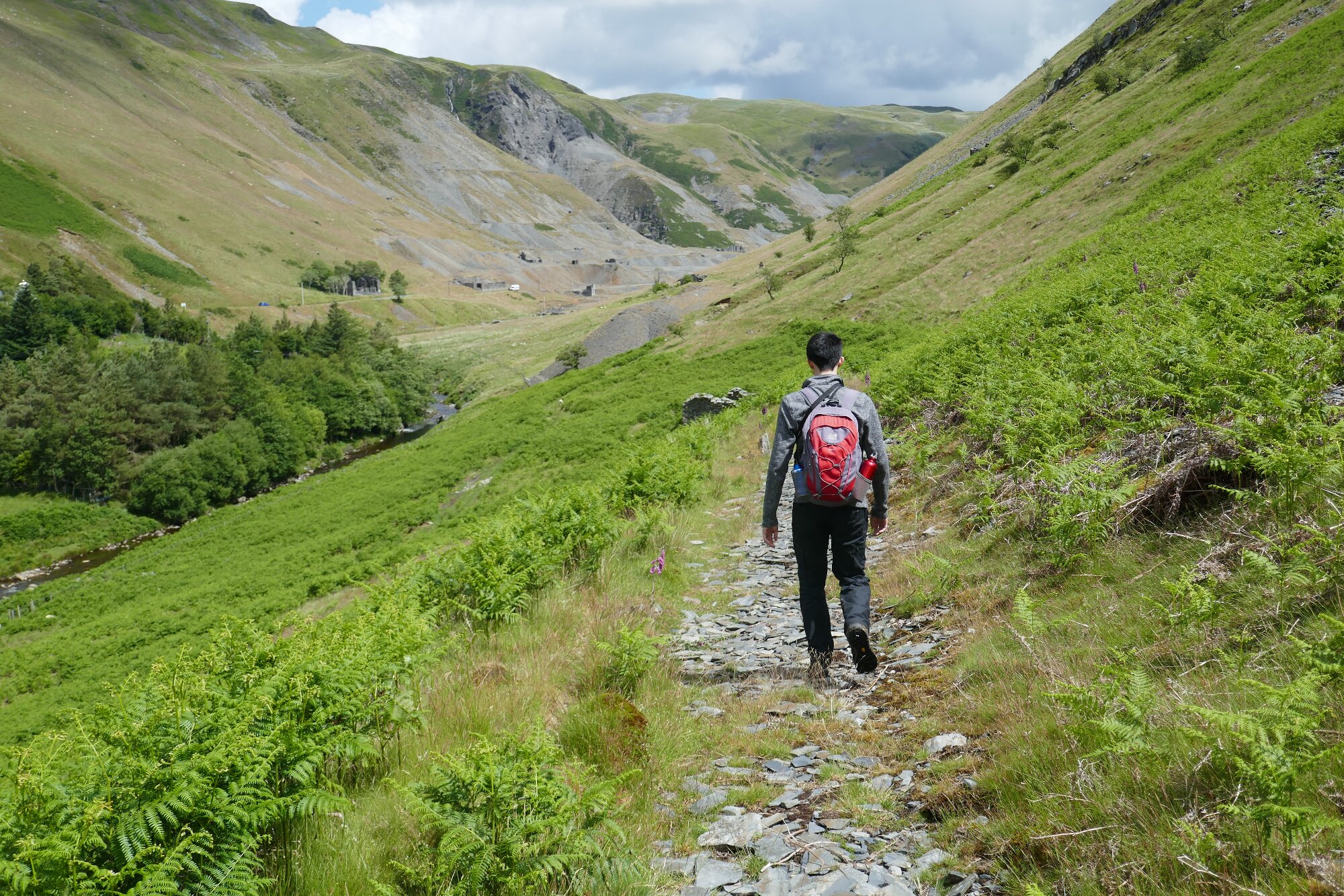
Carrying on along the old miners’ track, we meet a new stile across a fence ahead…This is an unusual but welcome sight in Access Land!
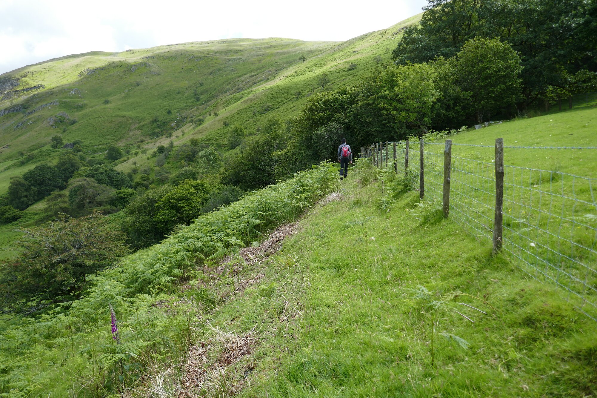
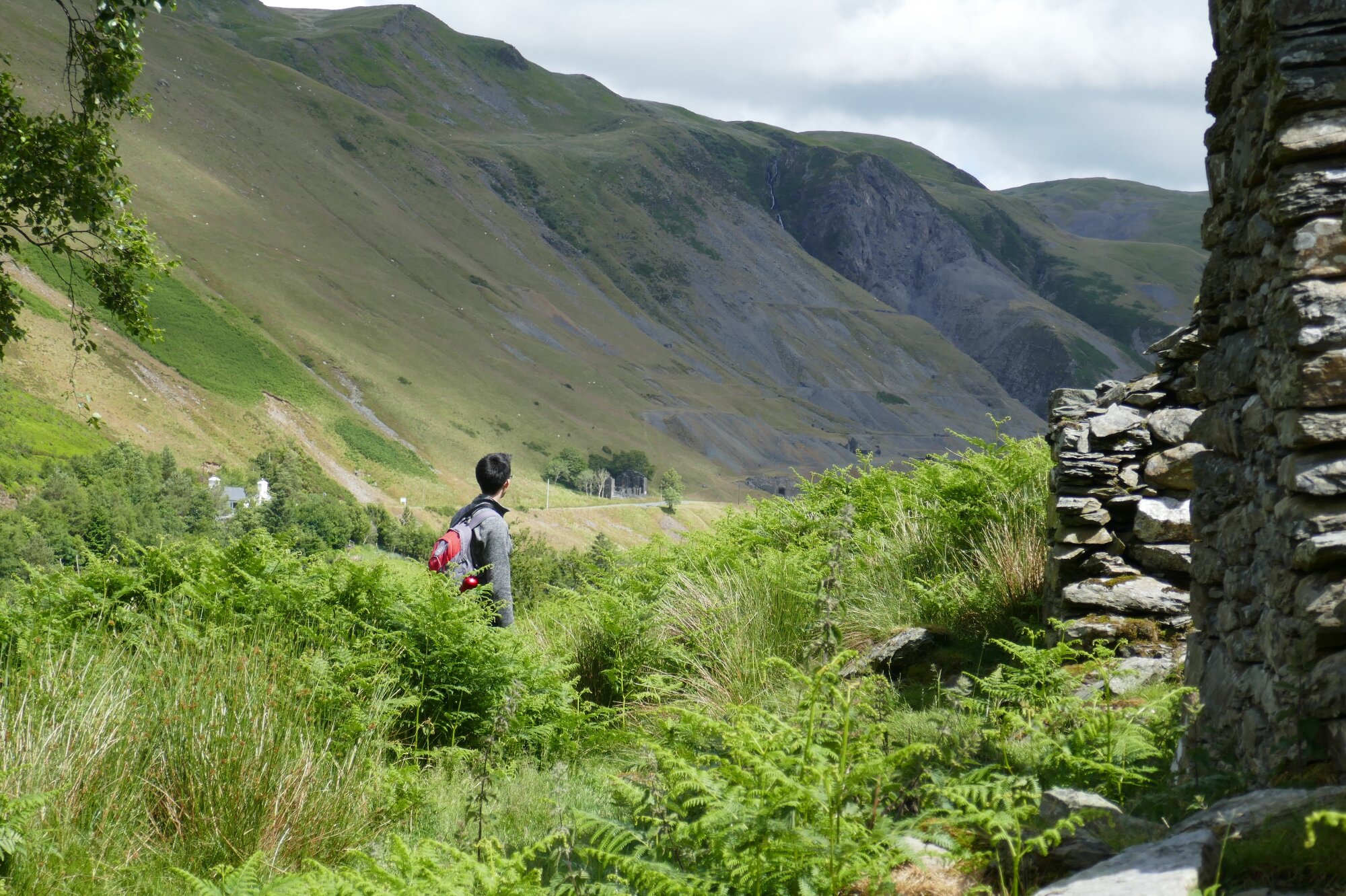
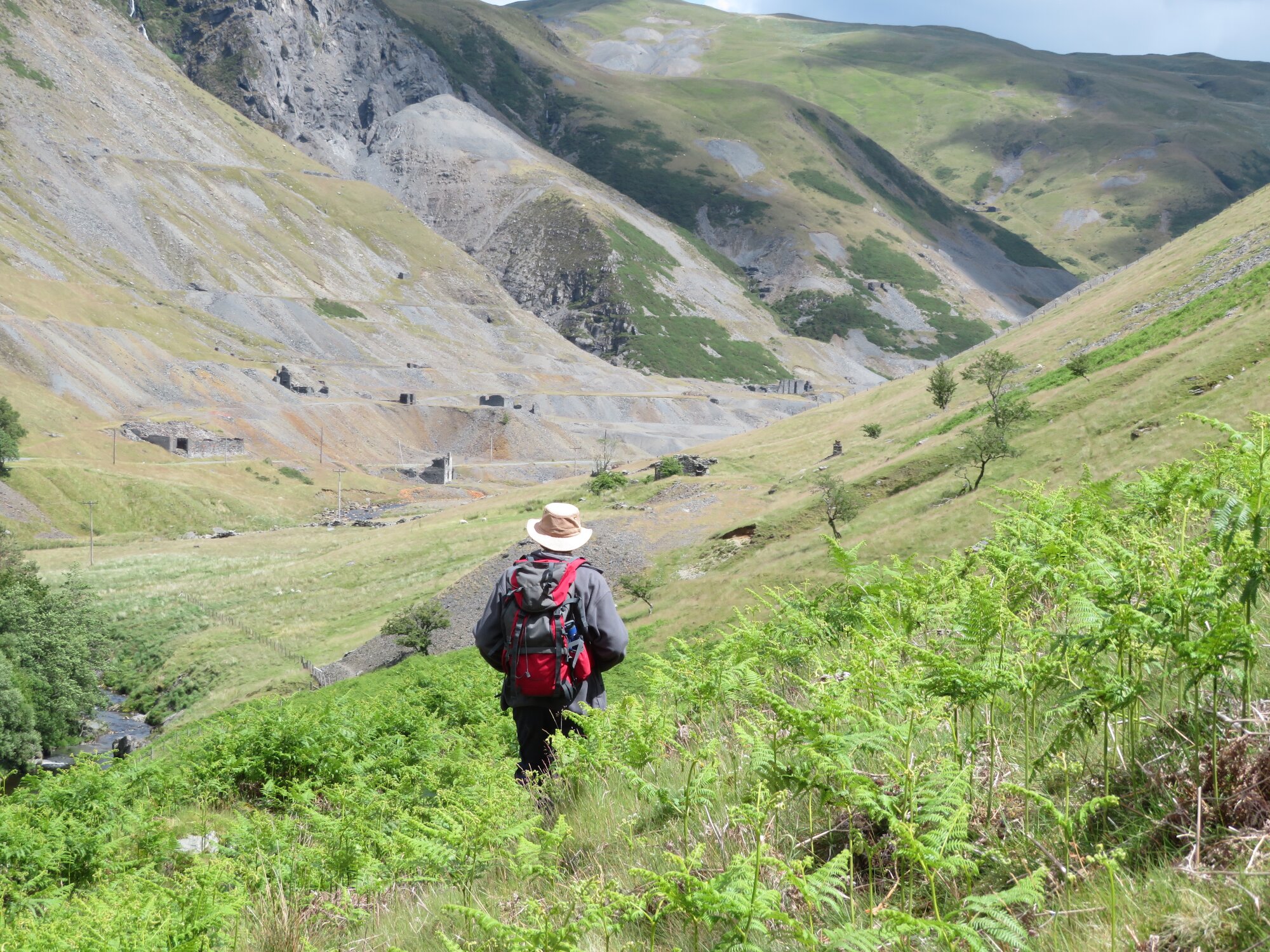
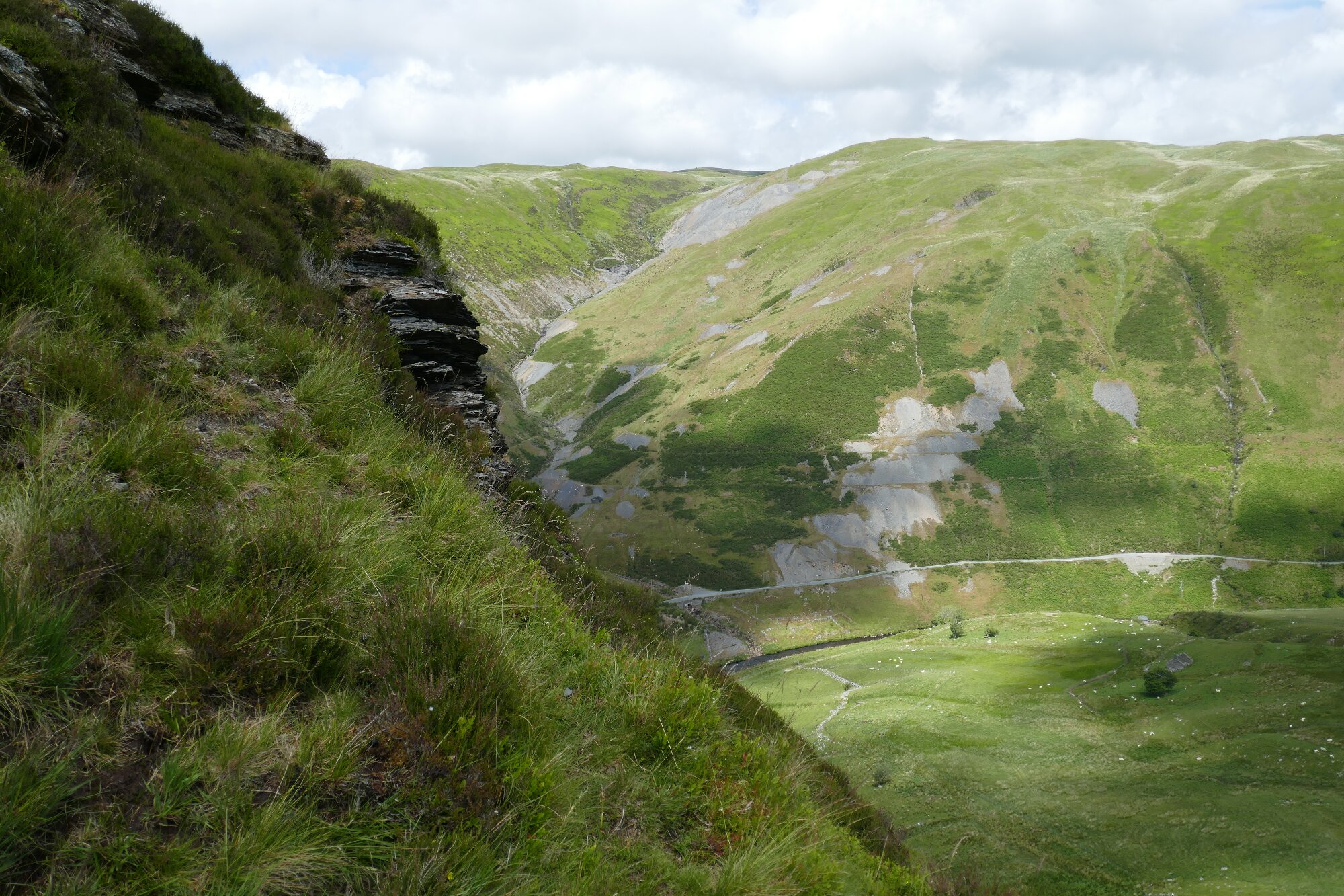
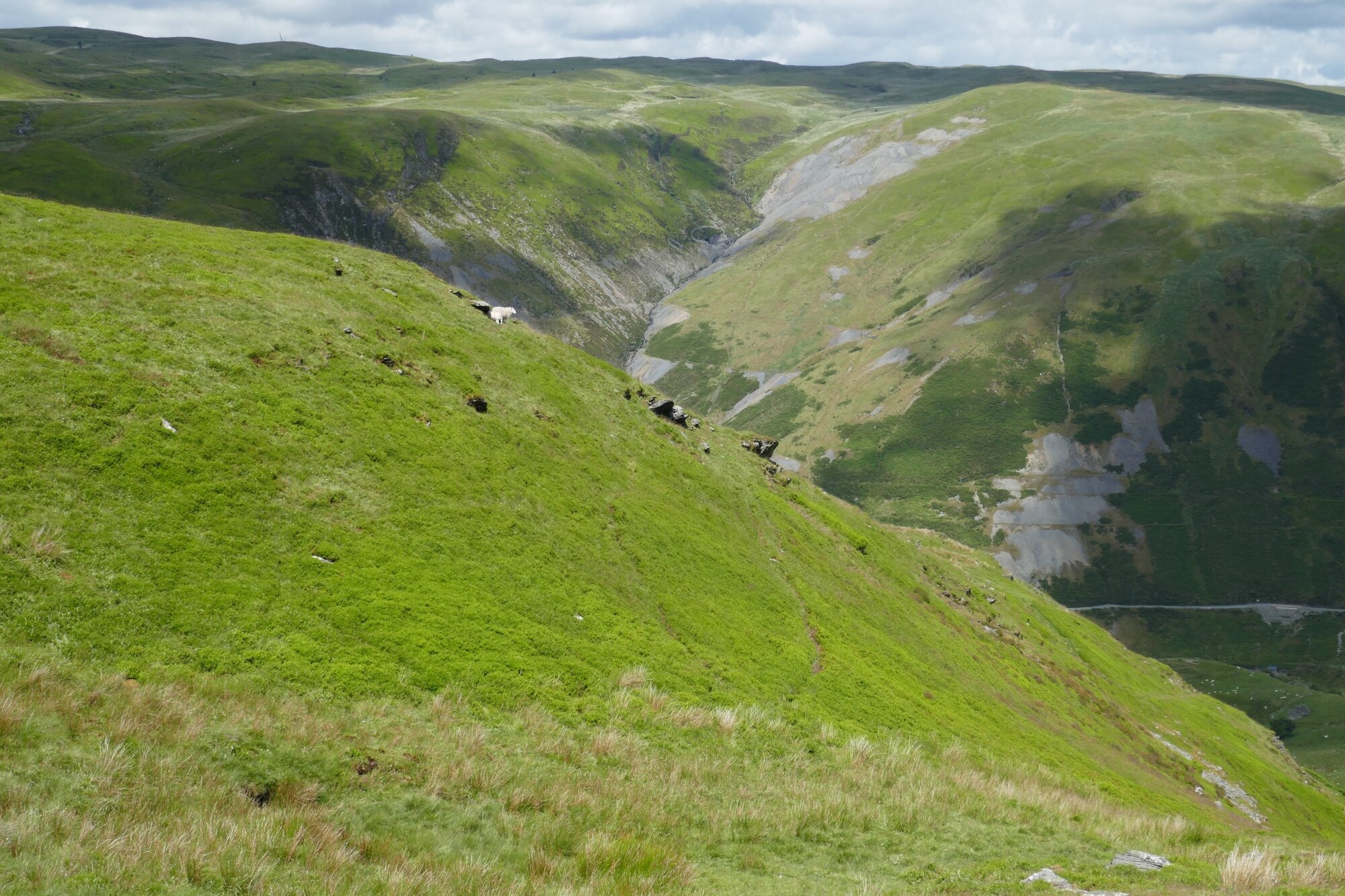
Further on still, we are opposite the main mine site and a waterfall descending the other side of the valley. We soon arrive at a fenced-in woodland of low trees, with a grassy meadow beyond. The corner of the fenced woodland is where we start ascending up the hill to the right.
Go almost up to the woodland before heading up right past its top corner, and then follow a path which ascends diagonally at first, crossing a small scree slope.
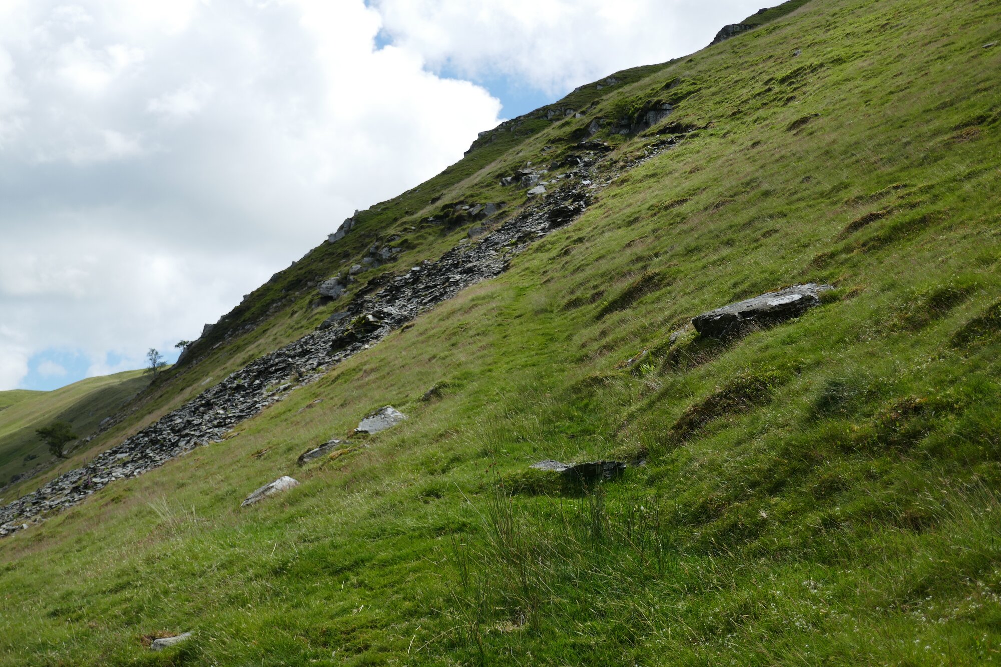
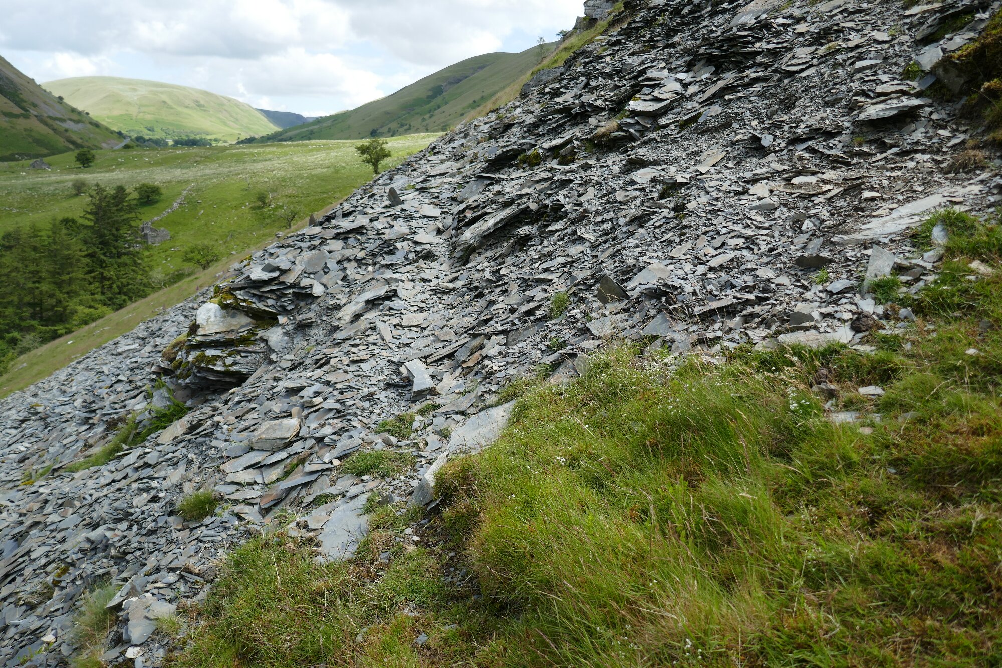
Then the path levels off somewhat before crossing a second scree. It leads clearly round the ‘corner’ of the mountain before beginning to get slightly lost in boggier ground.
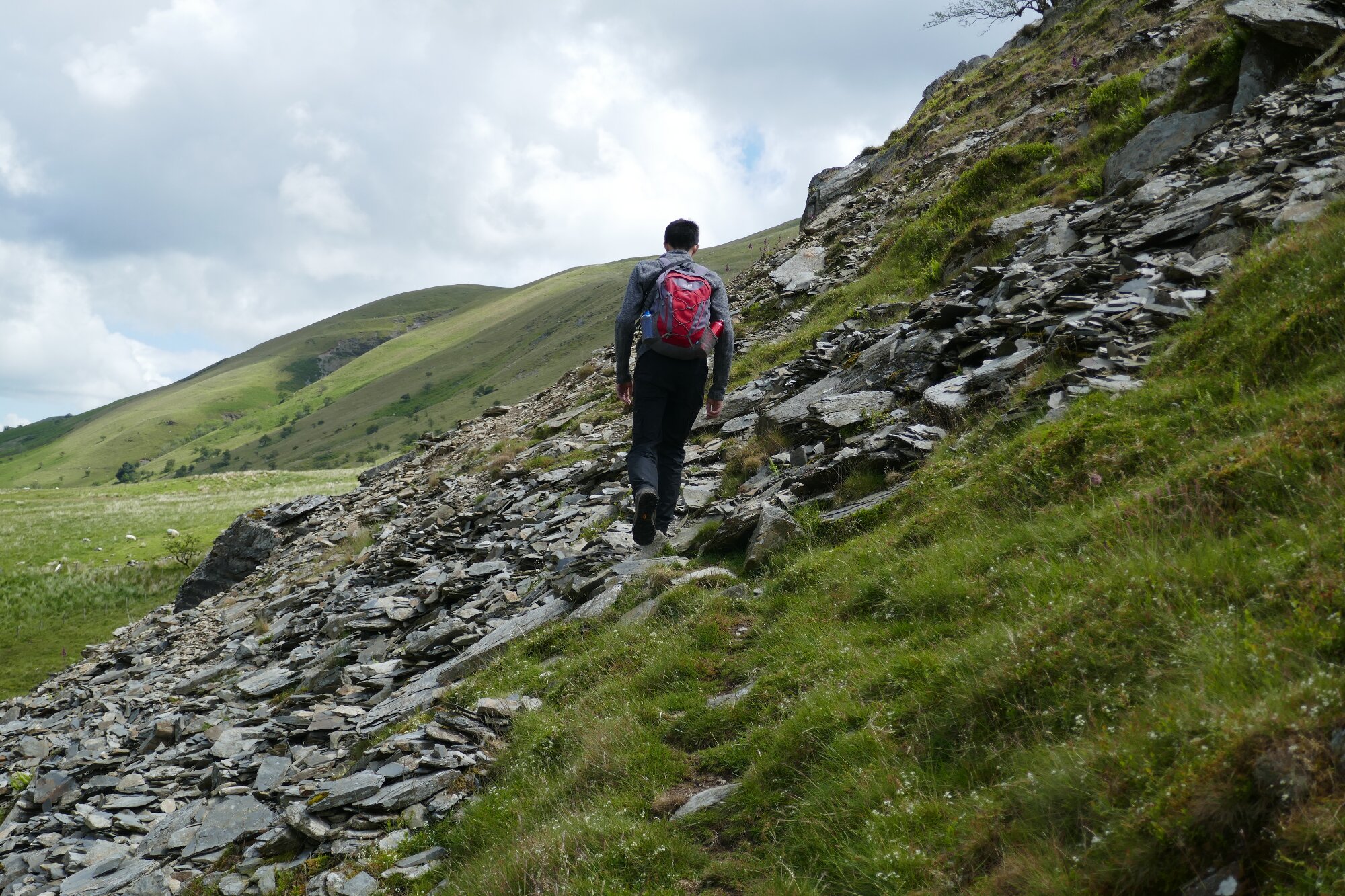
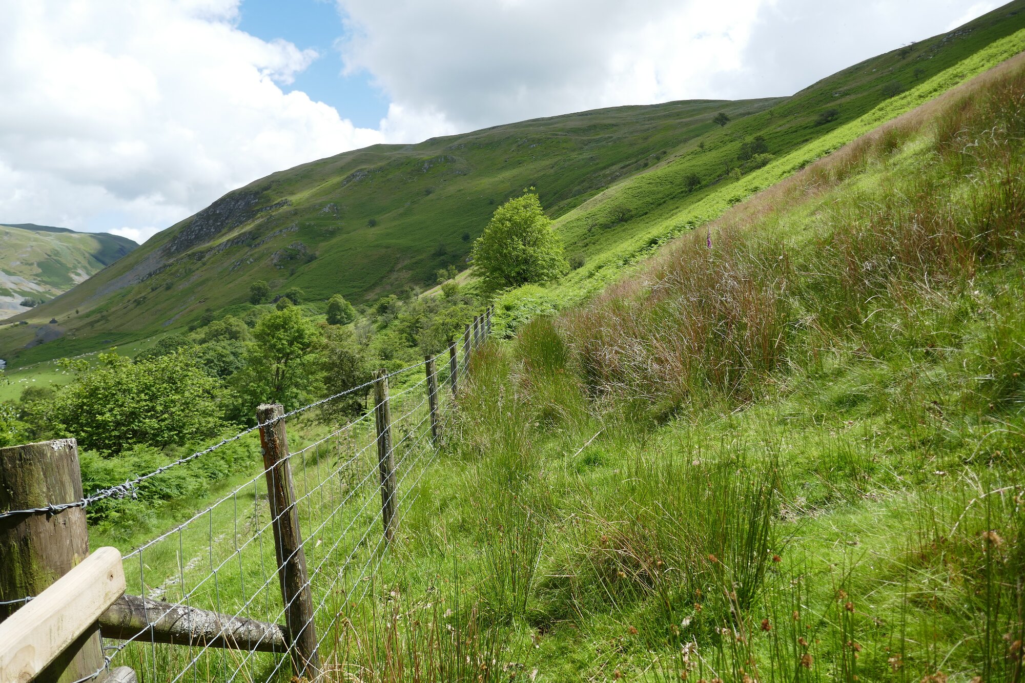
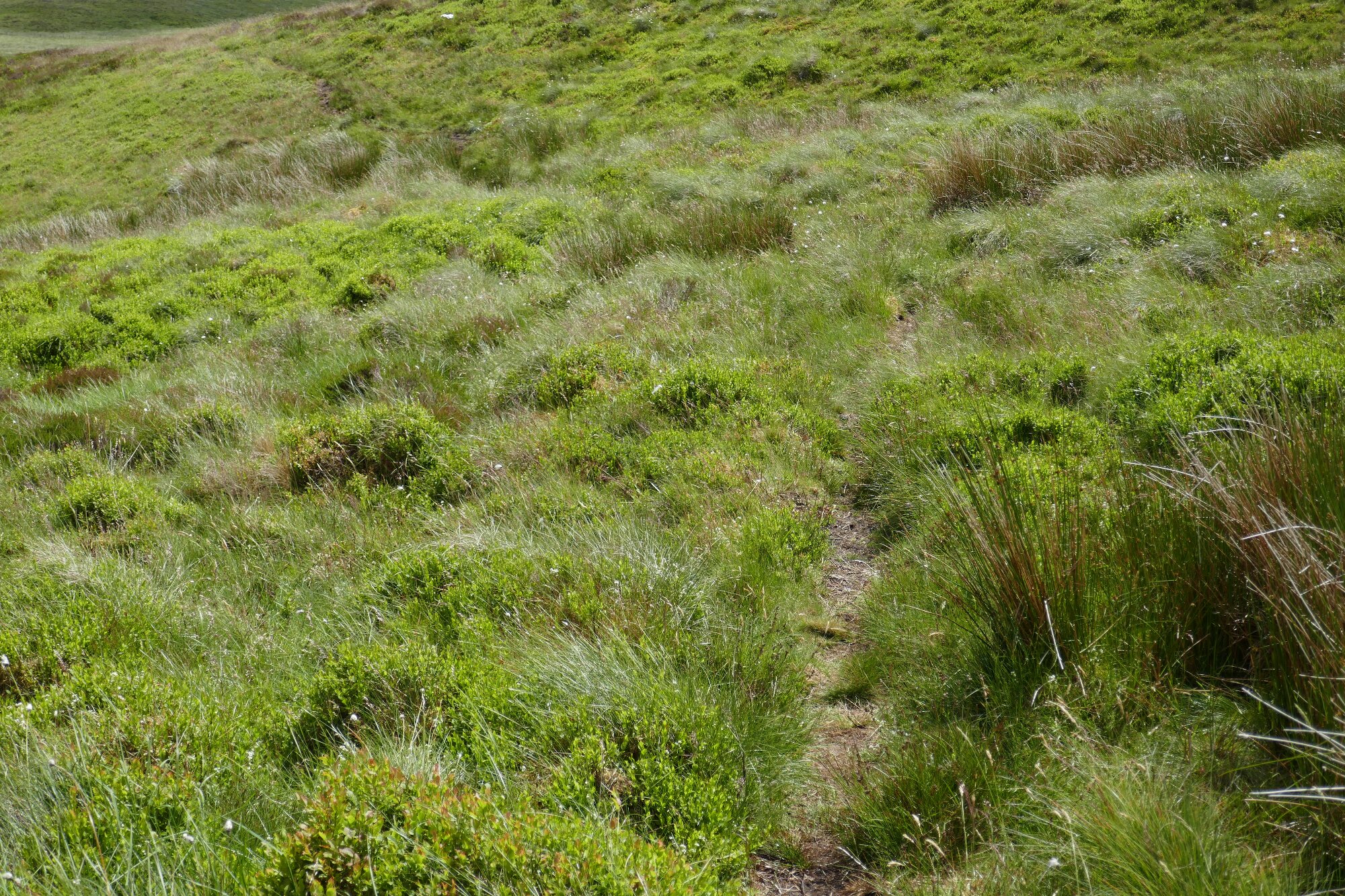
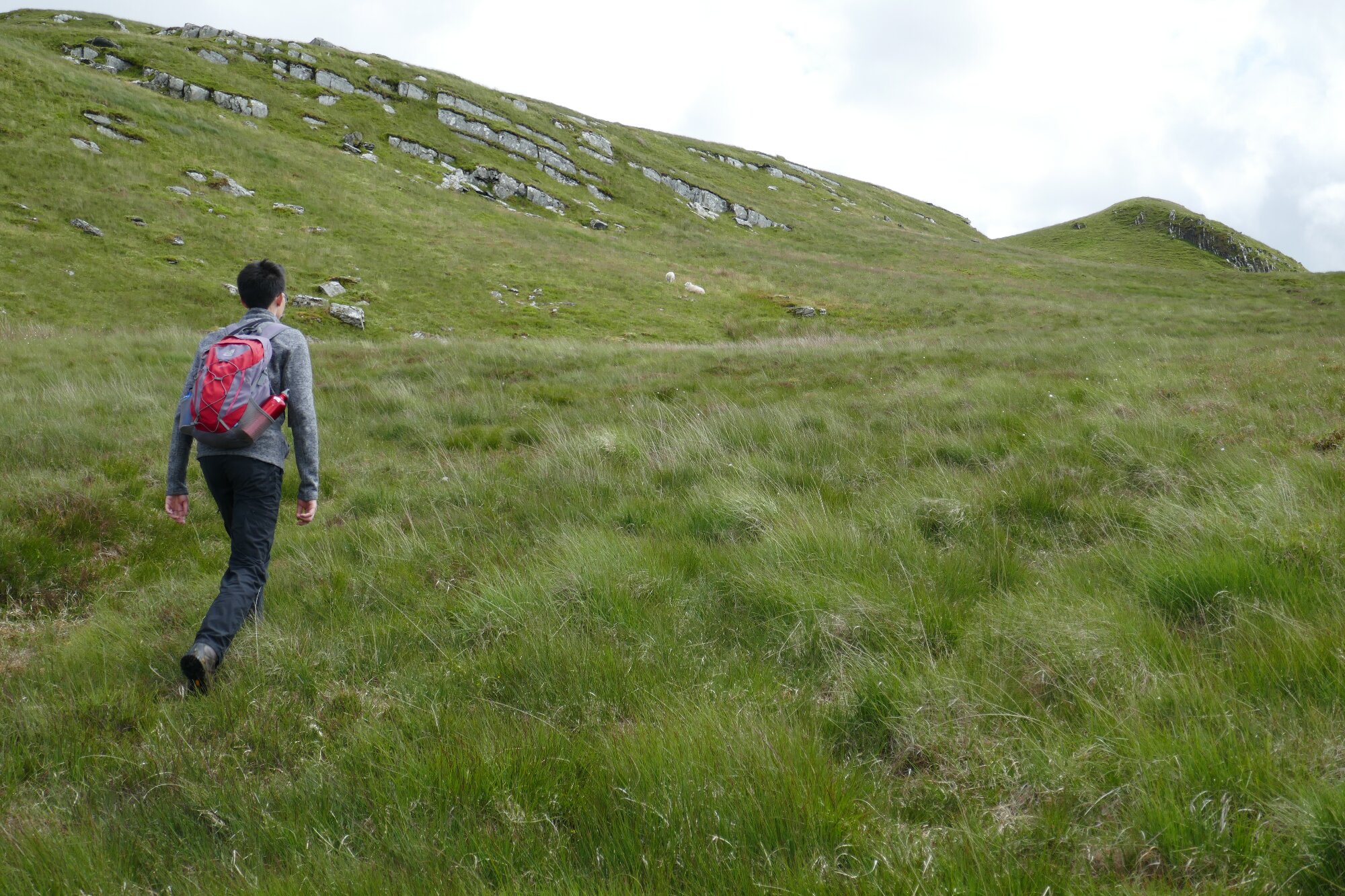
From this point, sheep paths appear and disappear again…struggle up the shallow gully well to the right of the fence line, although it’s probably easier going to err on the side of keeping lower (and closer to the fence) despite the bracken and soft ground.
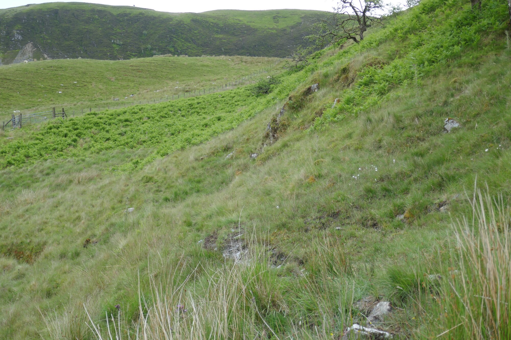
As you ascend look out for a distinctive gate in the fence line (see above) with sections of wooden bars each side. Above about here is the beginning of a faint track which zig-zags up the mountain side.
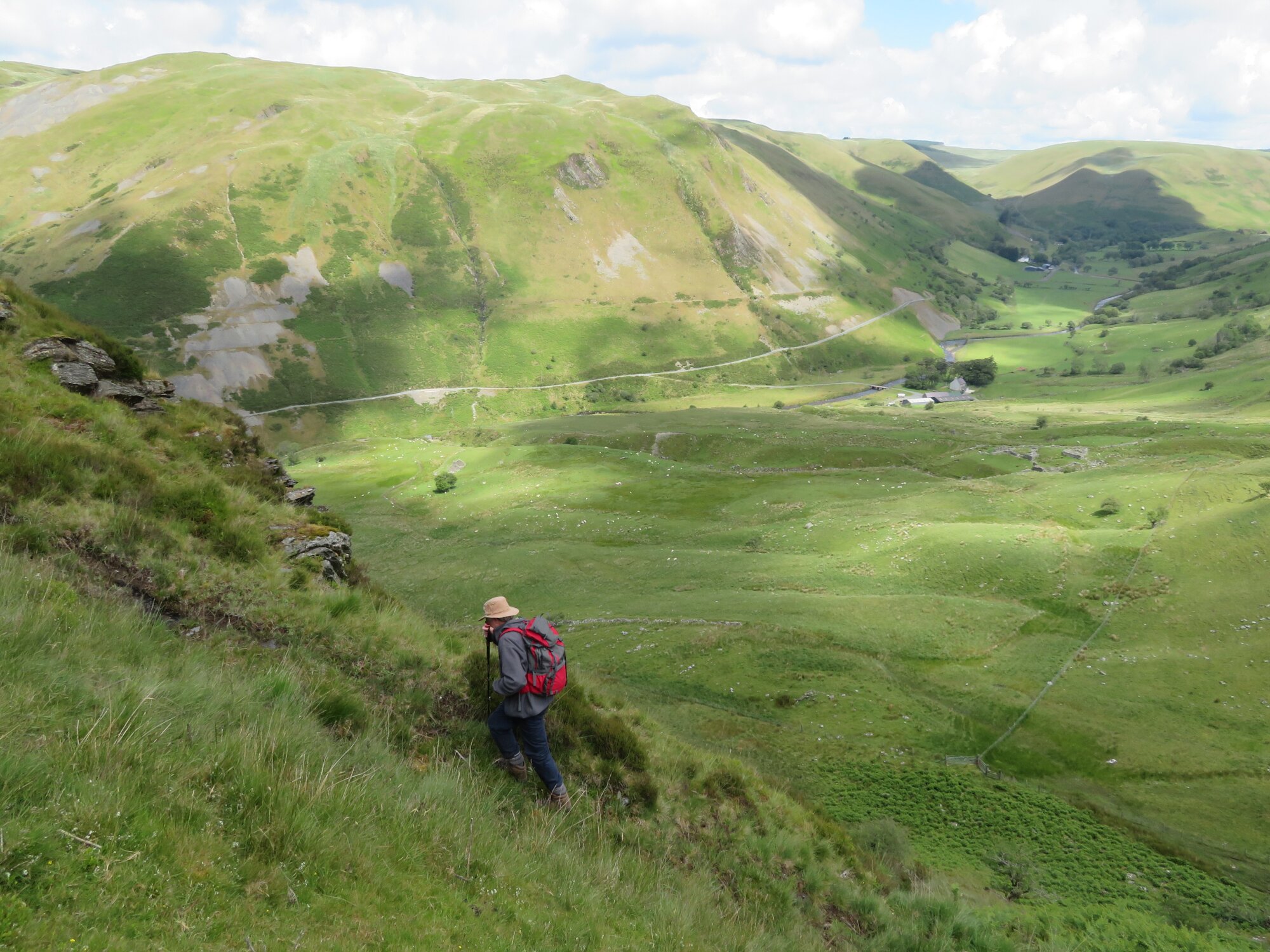
Find the path and follow its line, zig-zagging upwards, ascending steeply.
There are good viewpoints on the way…it is important to keep on trying to stay on the path, which makes the going much easier.
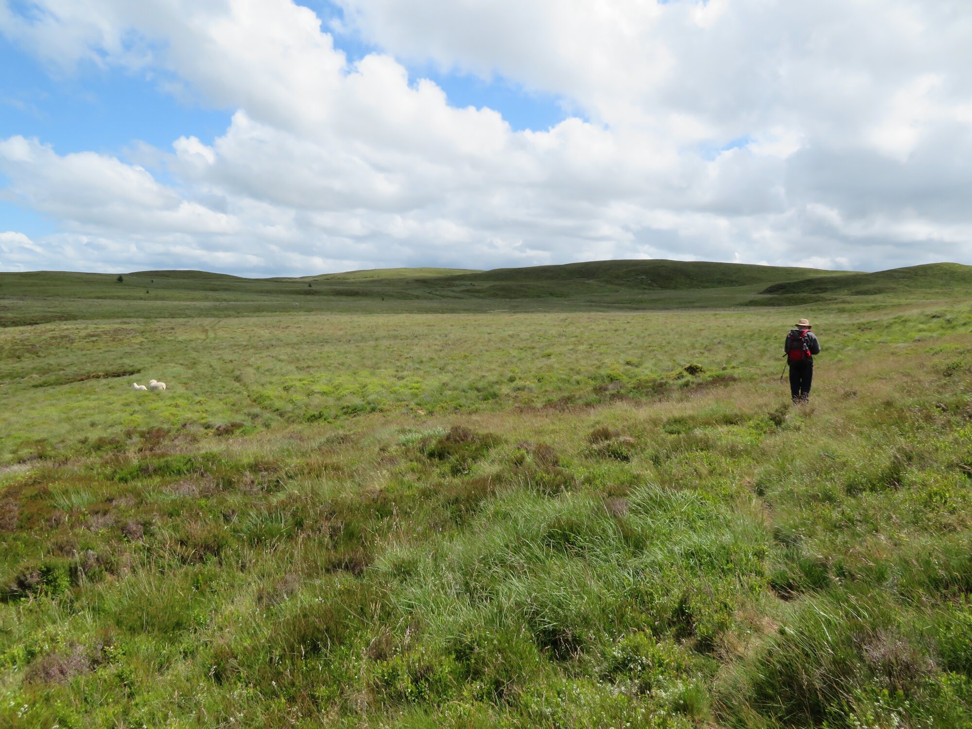
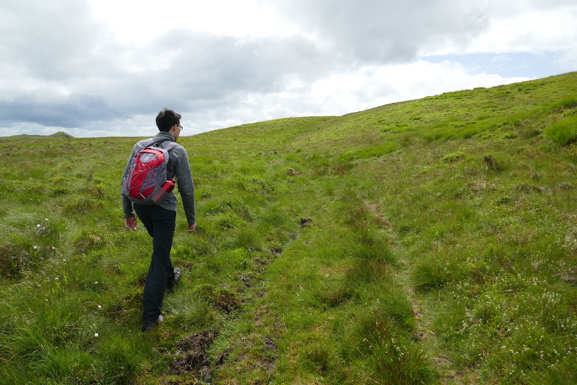
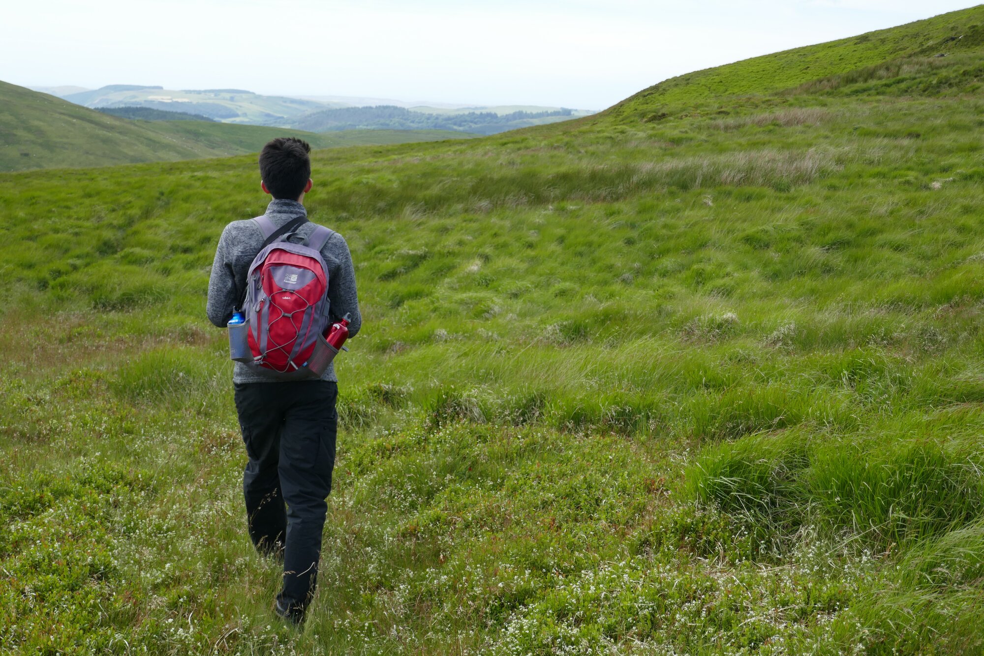
The gradient rapidly eases, and the best line keeps fairly close to the steep edge of the hillside to the left. Now you are in very open, wild ‘plateau’ country, heading roughly due south. In low cloud/mist, it is important to take a compass bearing about by now, as direction-finding here can be very deceptive. A navigational aid is a fence which leads across the moorland, and if you have been following the faint path, it will lead you straight to a broken stile over the fence.
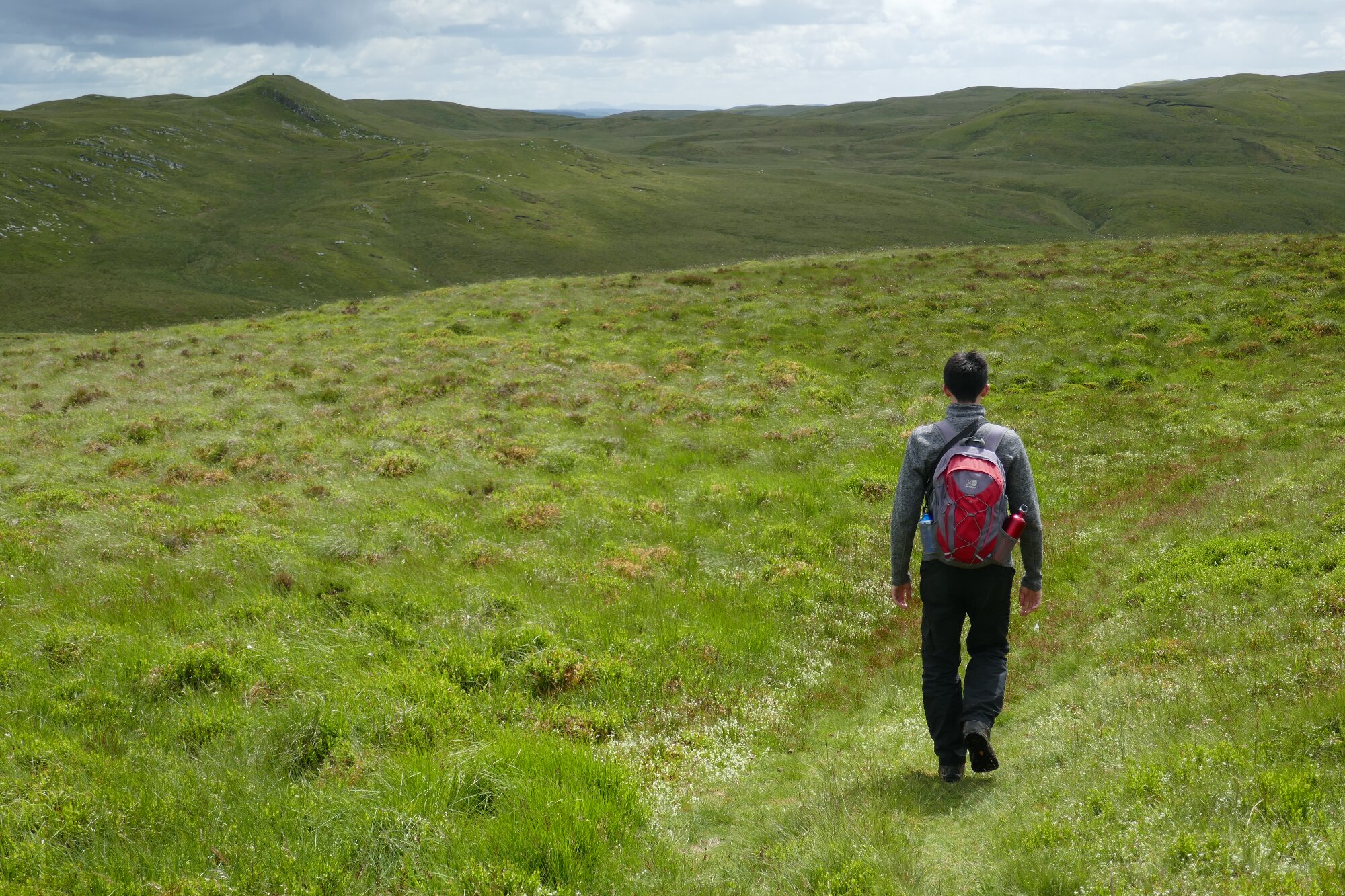
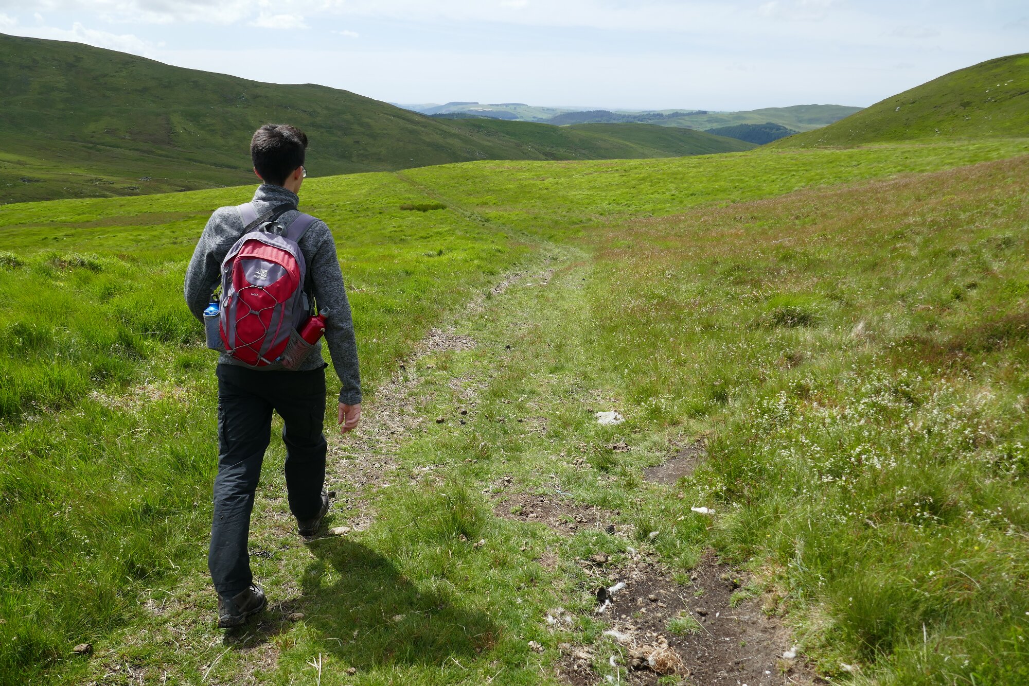
From the stile, head slightly west of due south, picking up a faint track/path leading almost unerringly in that direction.
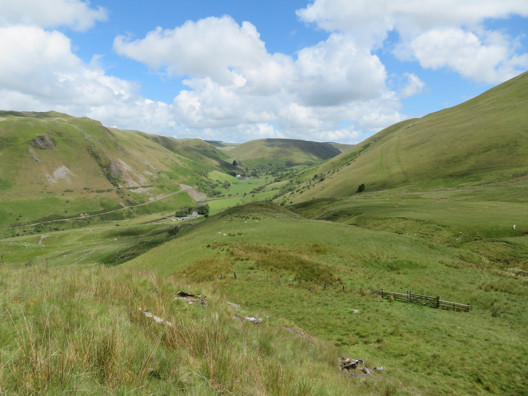
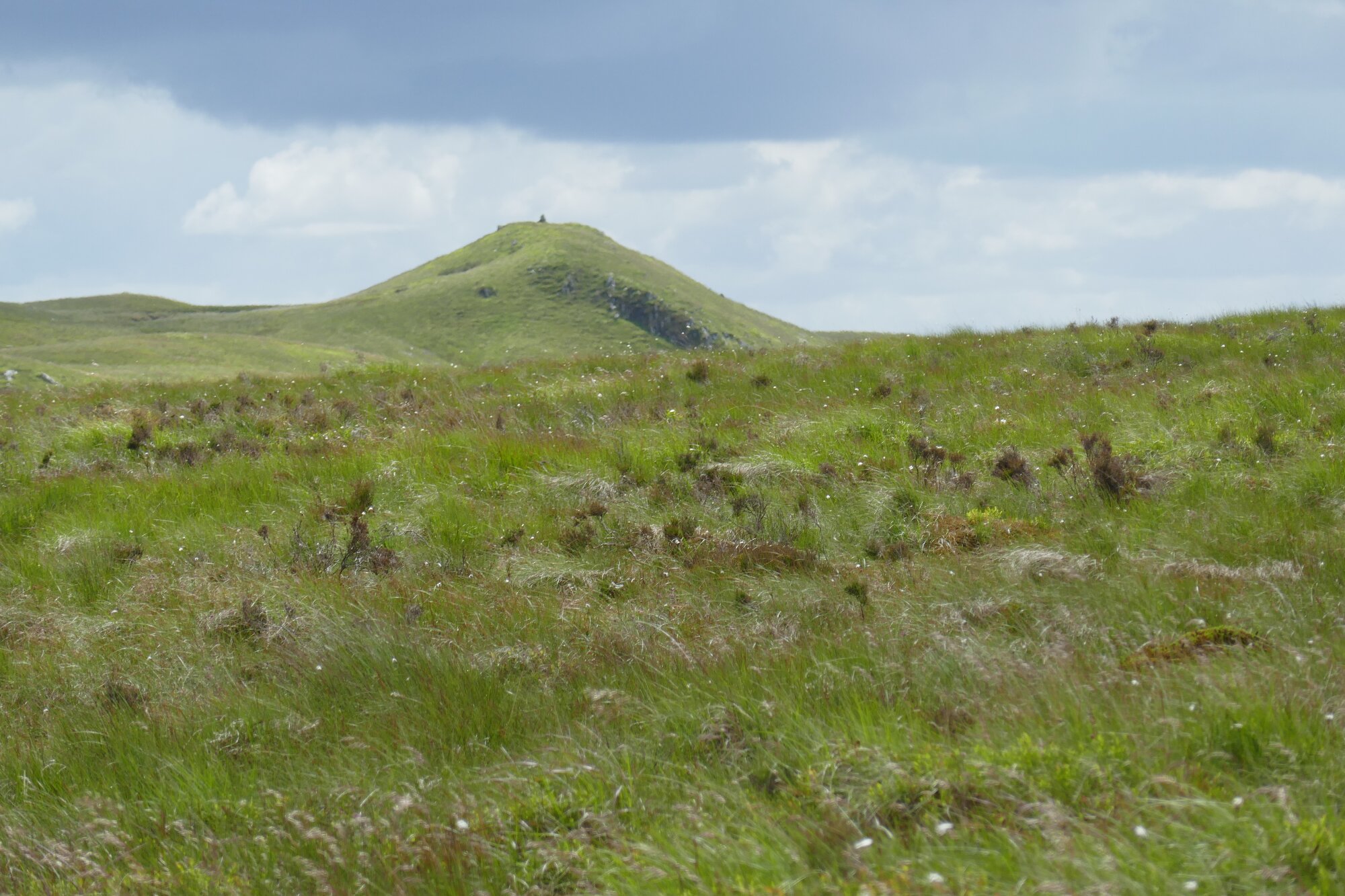
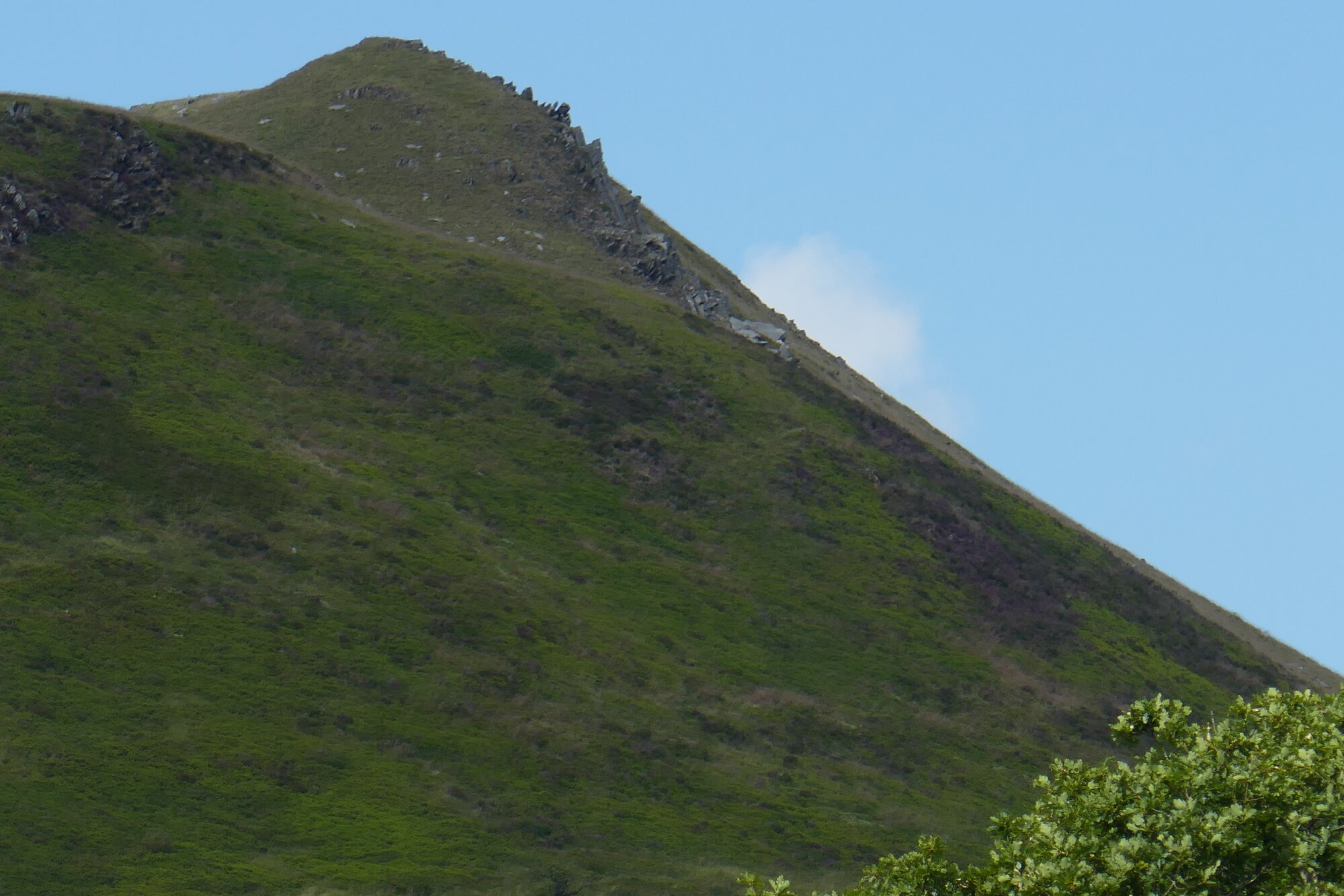
The path passes Banc Hir, a very slight, flat summit to your right, and at this point you should be able to spot the summit of Domen Milwyn poking up to your left in the middle distance. Then the path descends, gradually at first, then surprisingly sharply, heading towards the stream of Nant Milwyn in its valley.
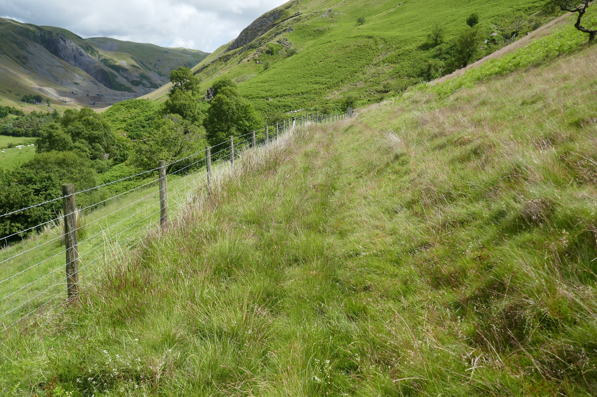
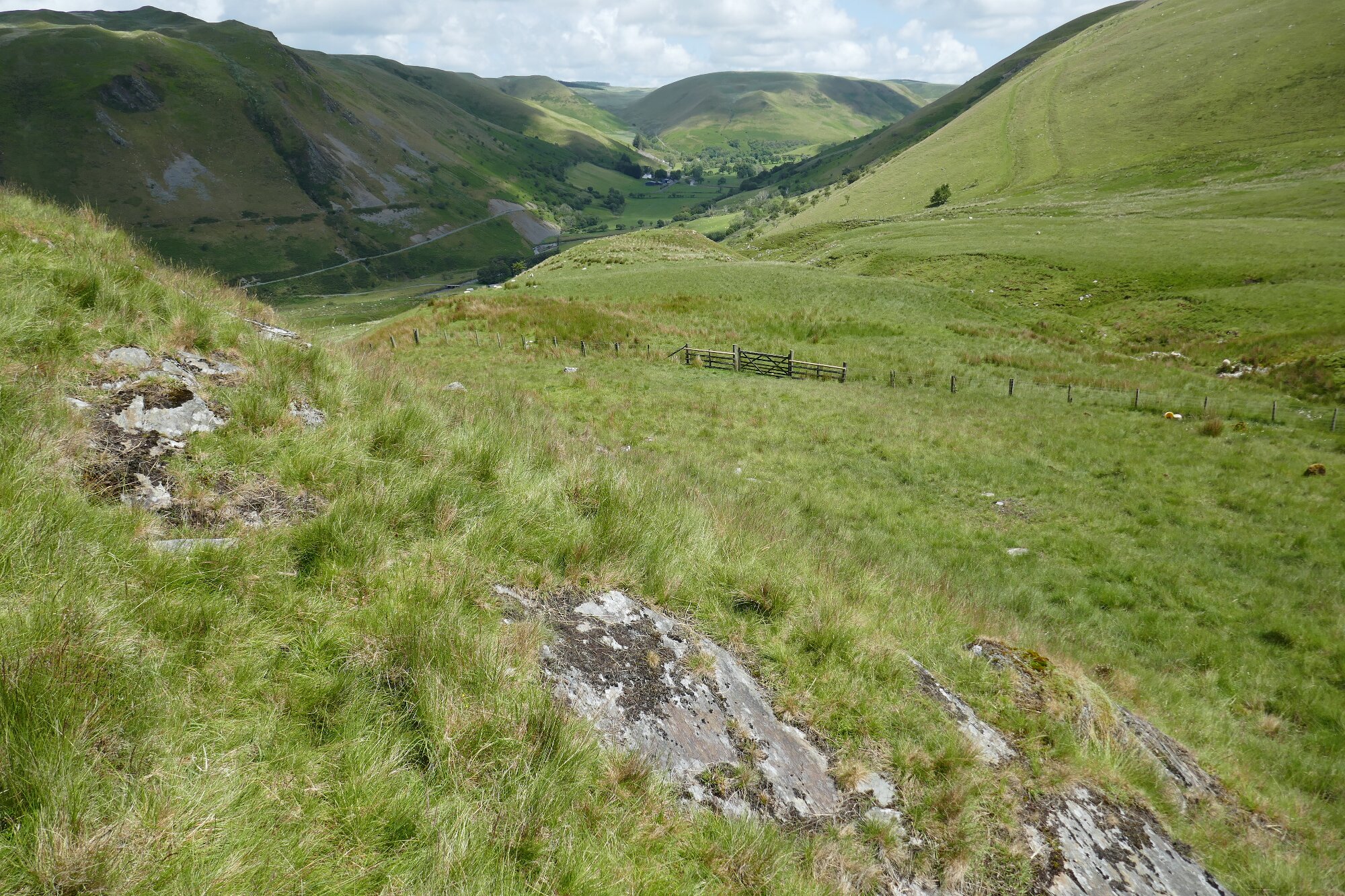
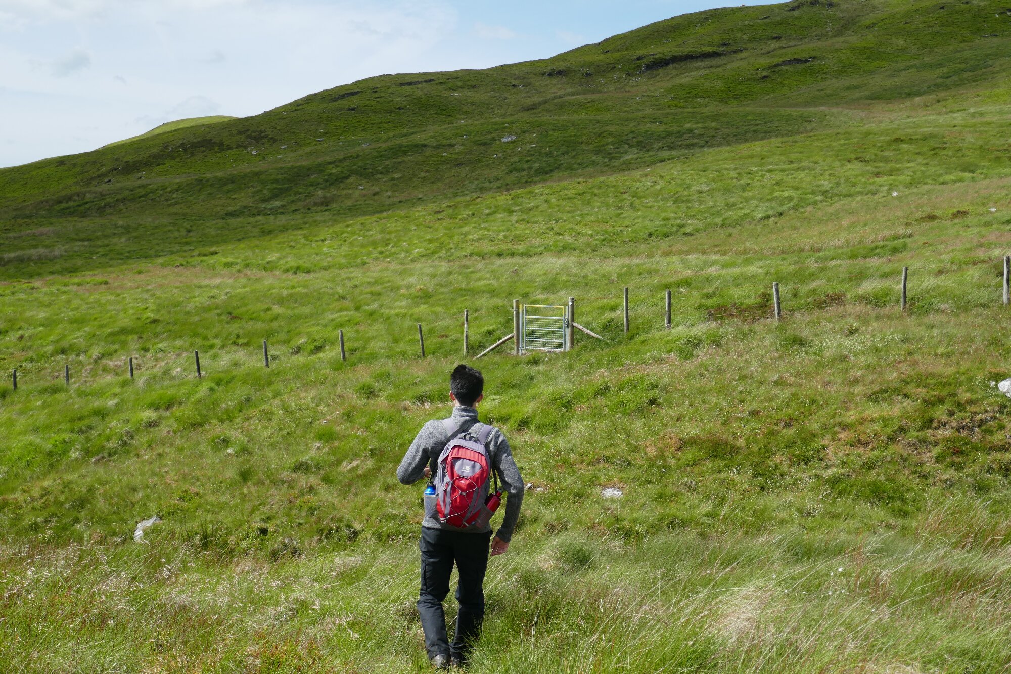
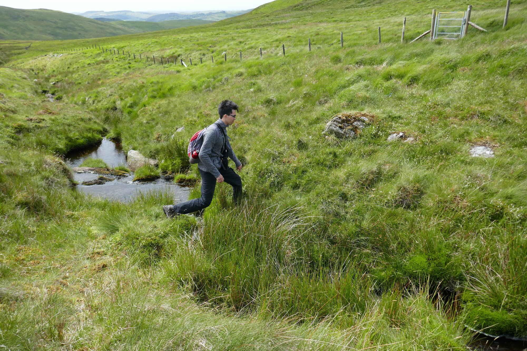
Before getting to the stream, look over to your left and try to spot a gate through the fence that runs alongside the upper reaches of Nant Milwyn (See right-hand pic below).
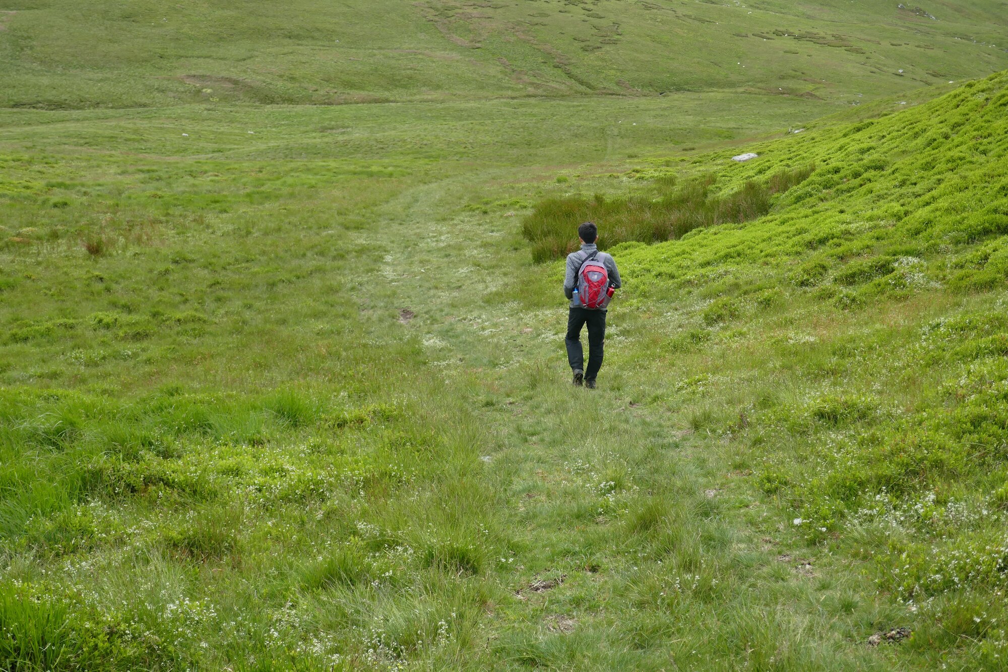
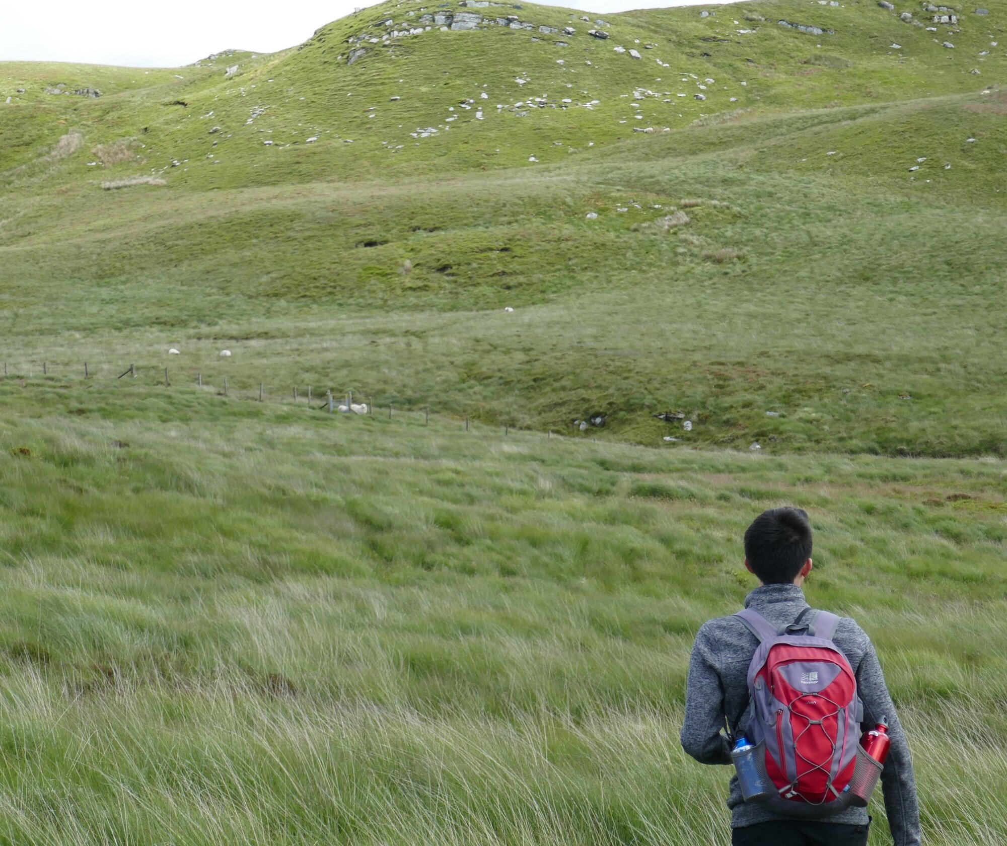
Cut across to the gate, jump across the stream, and head towards Domen Milwyn on the best sheep paths you can find.
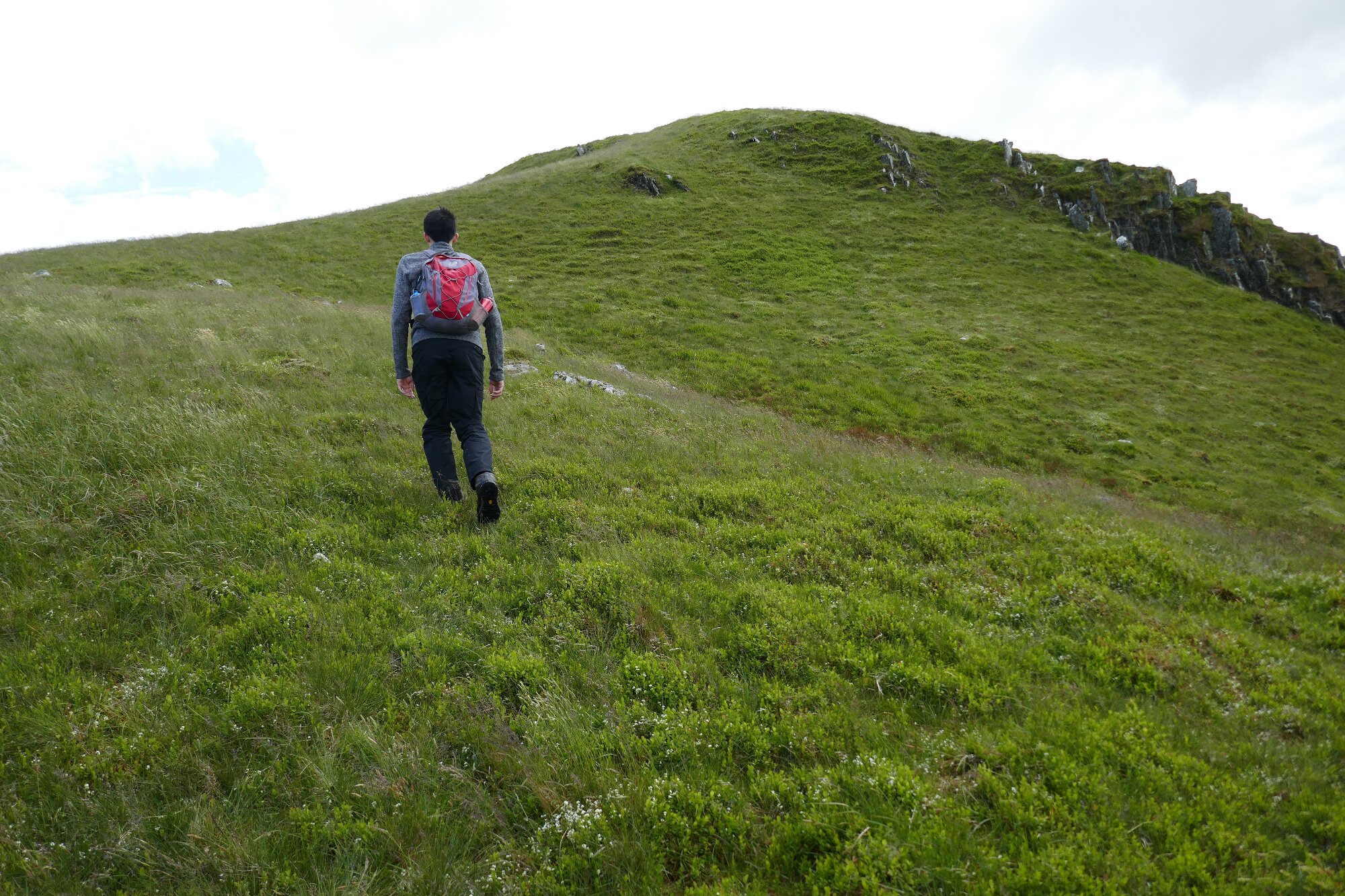
There is a choice now of ascending to the left, approaching the hill summit from its low ridgeline, or to head straight for the conical hill.
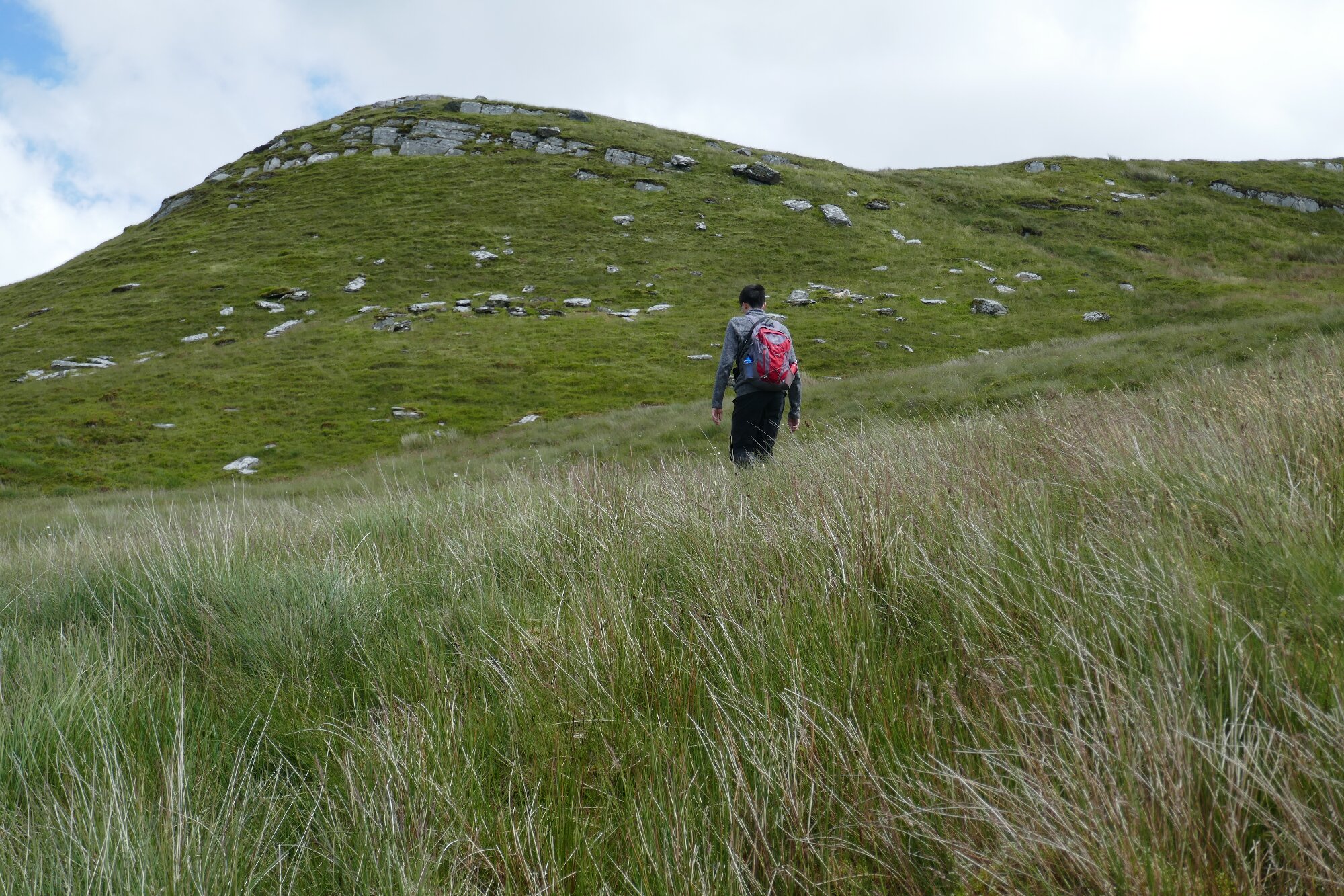
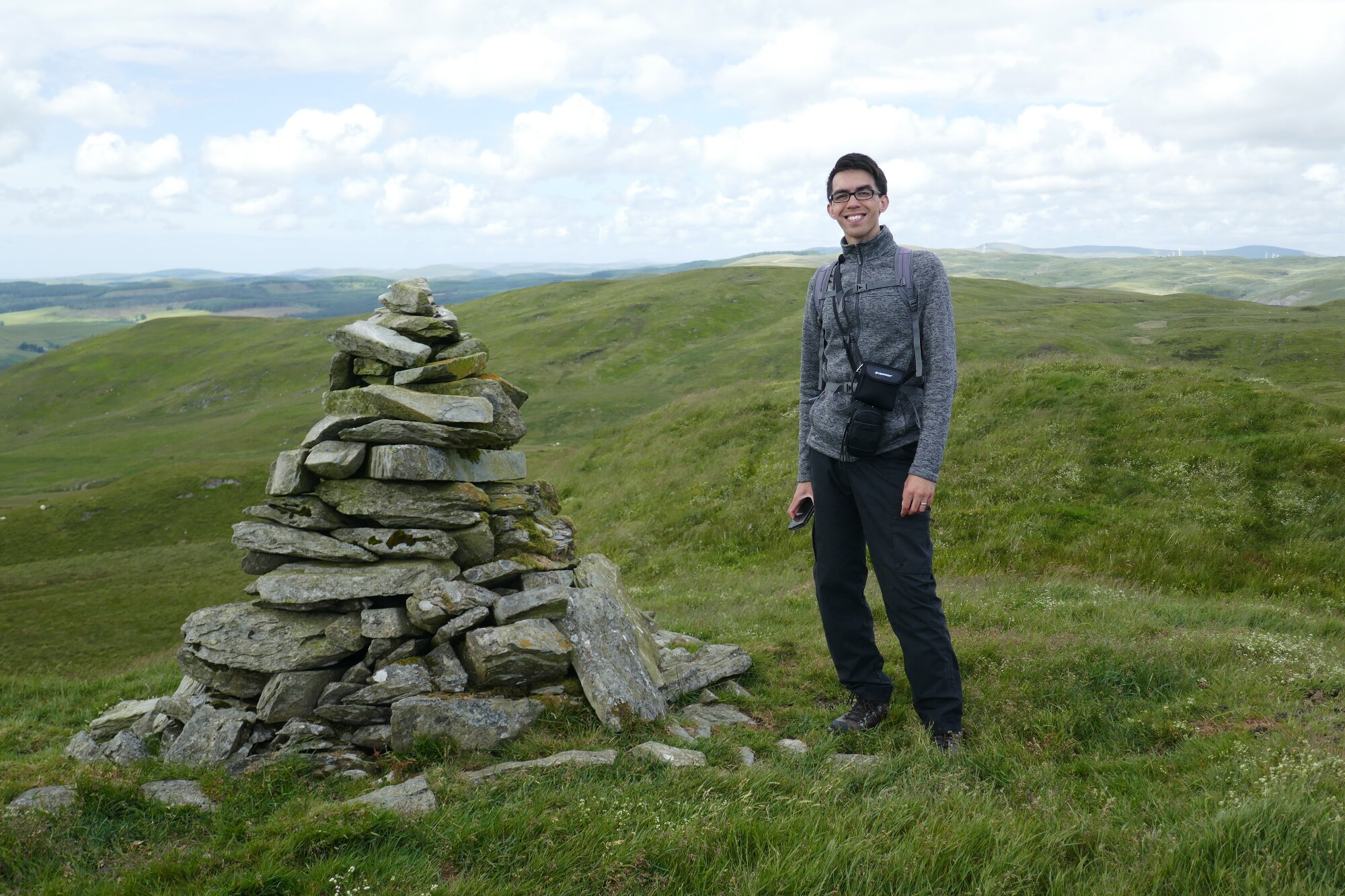
Either choice leads to a final steep ascent to the summit at 555m (1,821ft)
Descending by more or less the route we have come, it might be best to take the most direct route heading towards the gate by the stream.
Jump across the stream again, through the gate, then head back leftwards to pick up the faint but clear track which descends alongside Nant Milwyn.
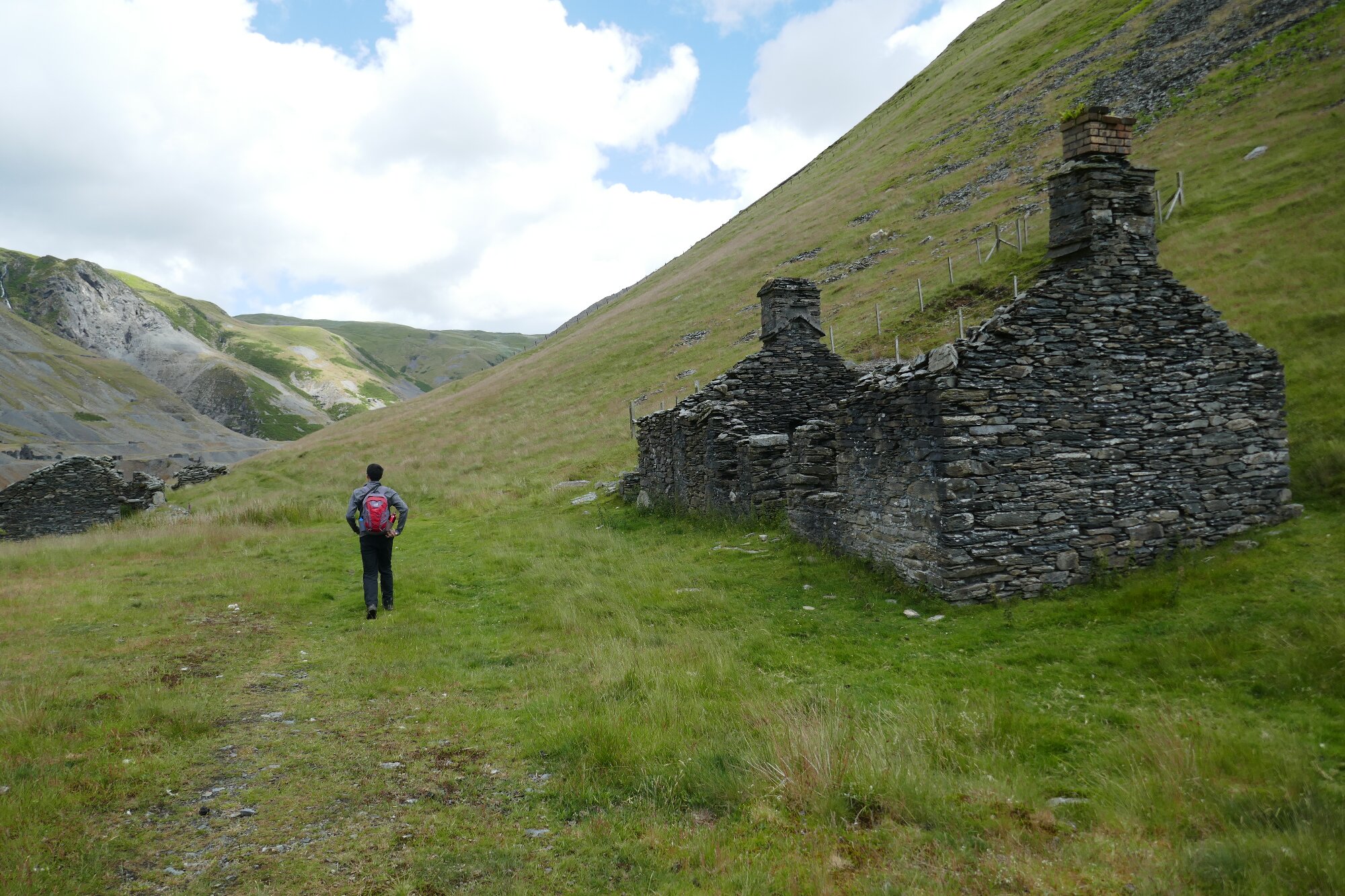
The faint path soon becomes a good track, and descends towards the ruined Milwyn Cottage, on the edge of Access Land.
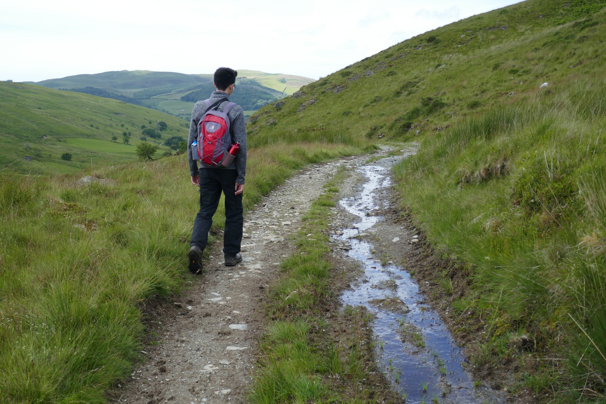
From Milwyn Cottage, the track is very easy to walk, and is well waymarked, being part of the Cambrian Way.
This point is the only complication: here the correct track takes a sharp left turn through a gate, although the rightish/straight ahead direction is waymarked and may cause confusion.
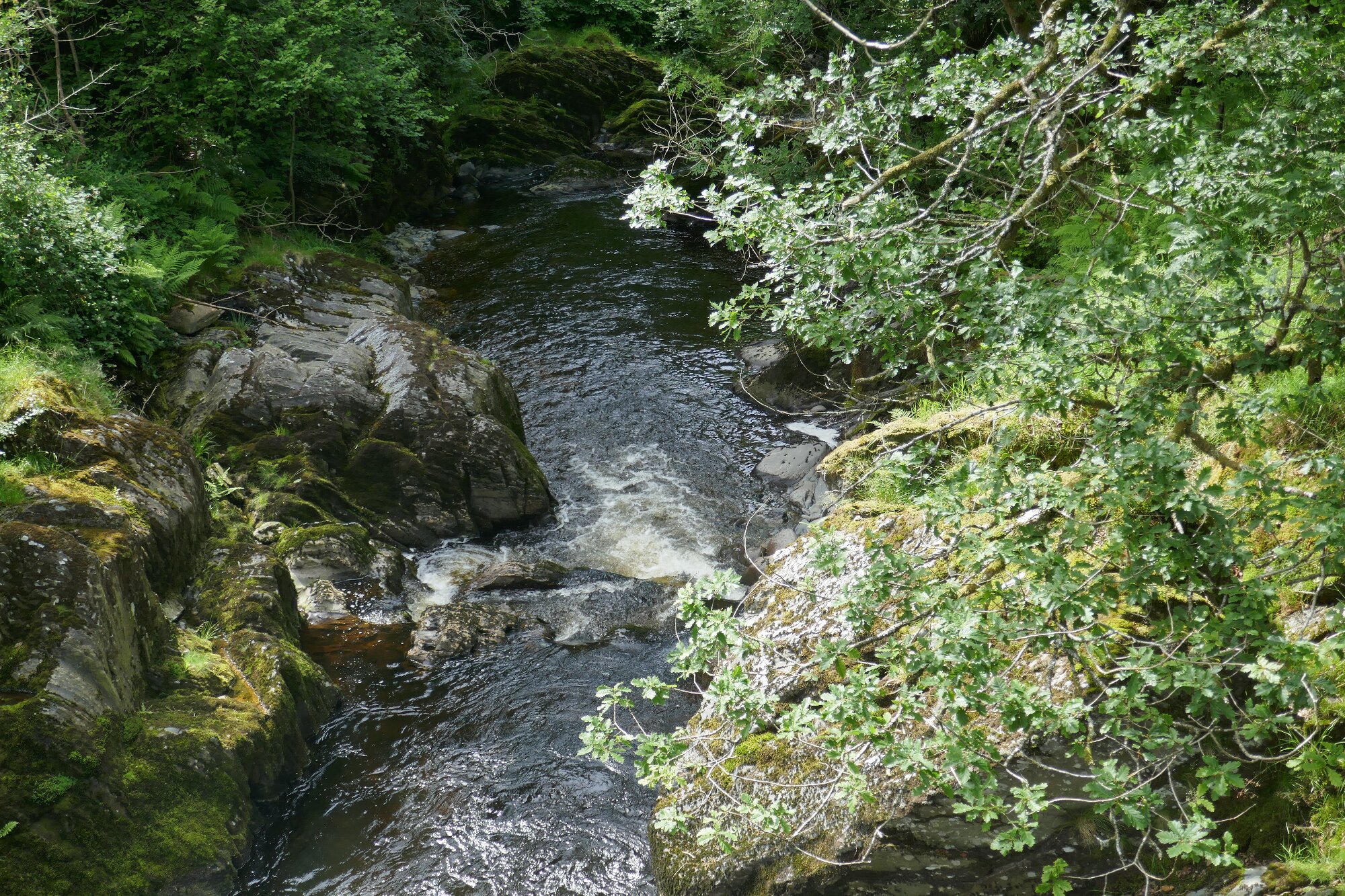
The rest of the route is clearly marked by yellow arrows, and is easy, in contrast to the nearby beginnings of this walk, and you can relax and enjoy the marvelous scenery! You will eventually arrive back at the bridge over the river.
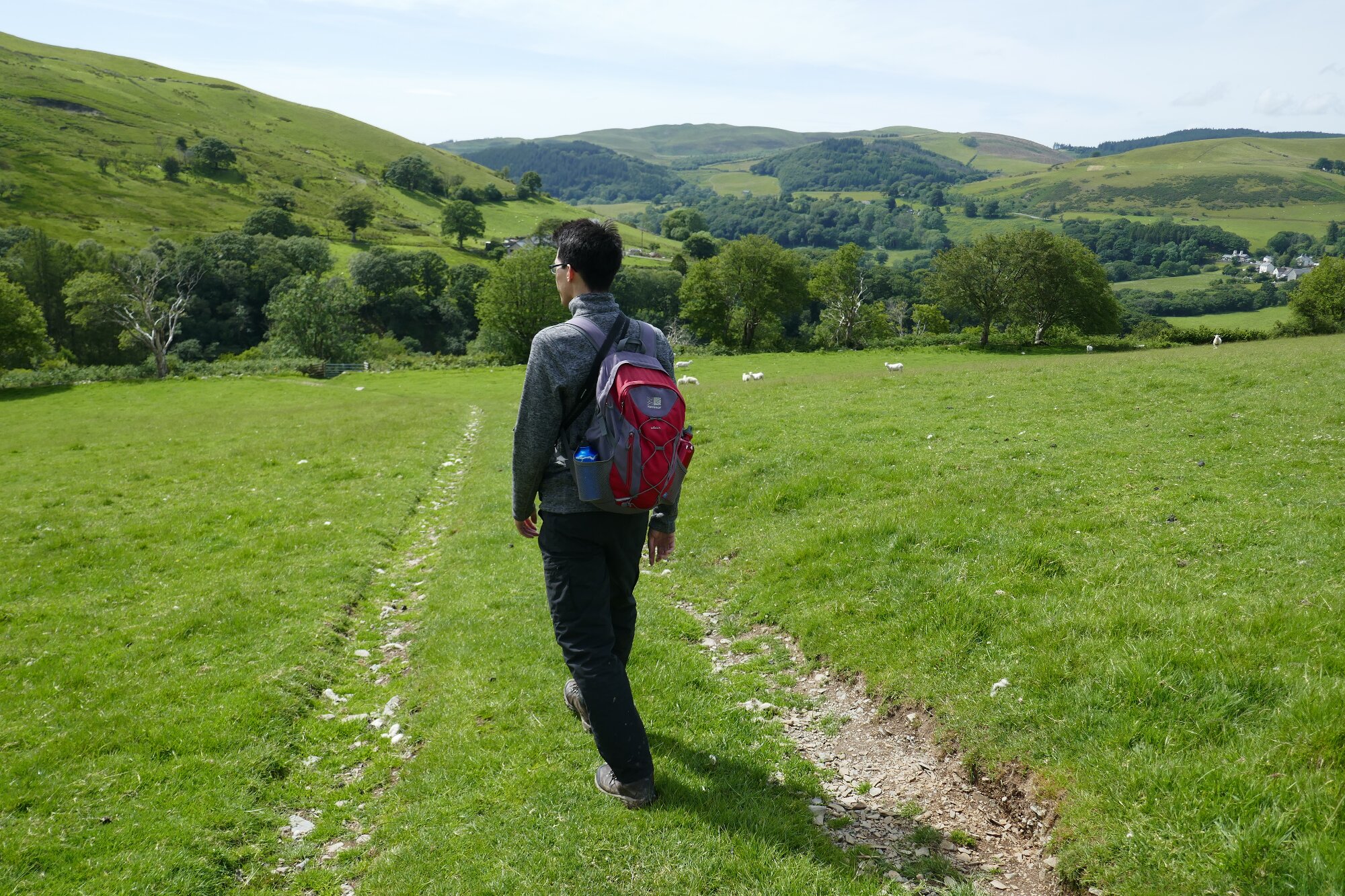
It is suggested that you take the most direct road route back from the village towards the mine, bearing in mind that motorcyclists enjoy a fast ride along this mountain road to Rhayader!
A return via Devil’s Bridge means you can enjoy a well-earned cream tea or beer after such a little toughie!
Comments (0)