This is possibly the least ‘wild’ of the walks that has appeared on this website so far, starting and finishing in the well-known village of Devil’s Bridge (Welsh name: Pontarfynach) with its tourist attractions. Nevertheless, there are several great ‘wild-ish’ walks around Devil’s Bridge and the Rheidol Valley detailed in ‘Railway Walks in the Vale of Rheidol’, available from this site. If you have visited the famous Mynach Falls, on this walk you will see where all that water is coming from by exploring the Mynach valley by one of two routes… from November until the end of June the higher path on the northern side of the valley (detailed here) is recommended, but it gets overgrown and hard work later in the summer. From July to October the bridle track along the south side of the river is a lot easier, and its soggy bits tend to dry out too (blue line on the static map, with no navigational issues). This walk also visits ‘Y Bwa’ (The Arch) built in 1810 as a gateway for Thomas Johnes’ nearby Hafod Estate. The English translation of the name of this place is ‘Head of the Valley of Lost Existence’.
of starting point :
The starting point for this walk is the public car park (and toilets) across the road from the main gate of the Vale of Rheidol railway terminus at Devil’s Bridge.
From the white painted toilet block, go back out of the car park and take the waymarked path running along the other side of the fence. This can cause immediate confusion if you have a car to park, but is obvious if you are walking up from the station.
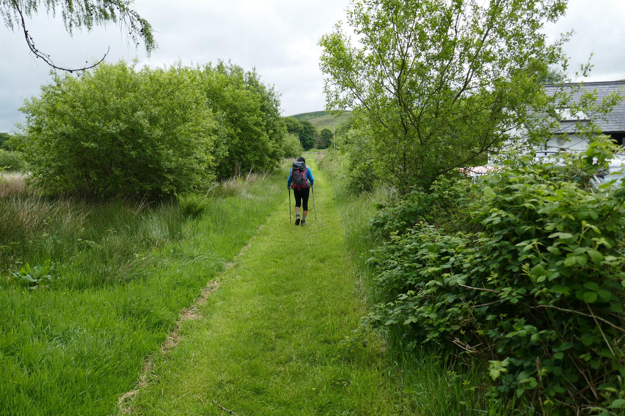
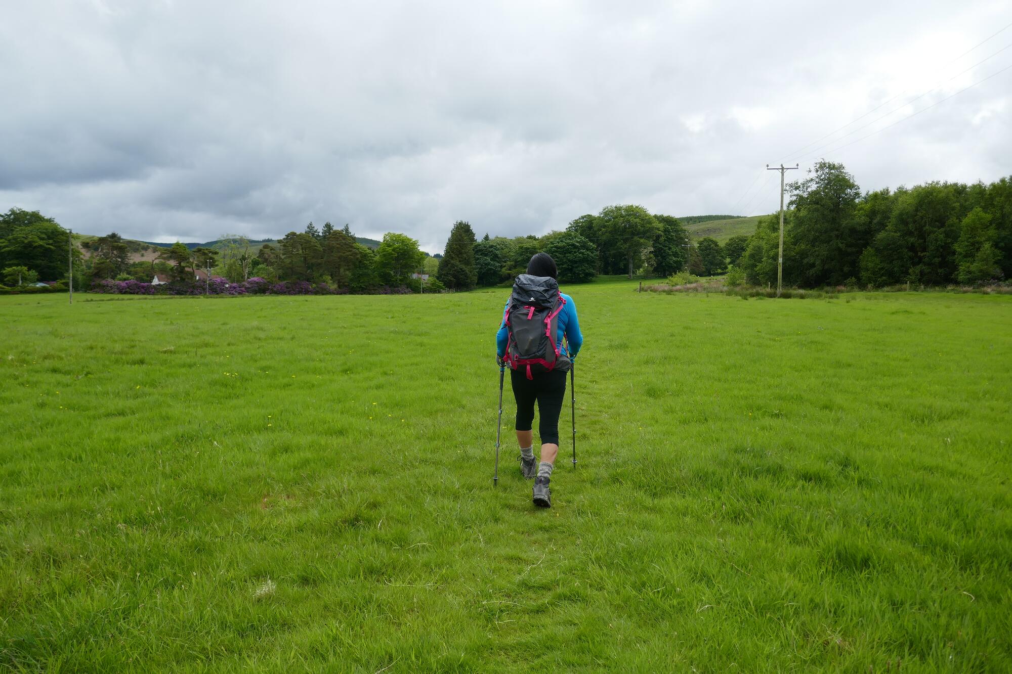
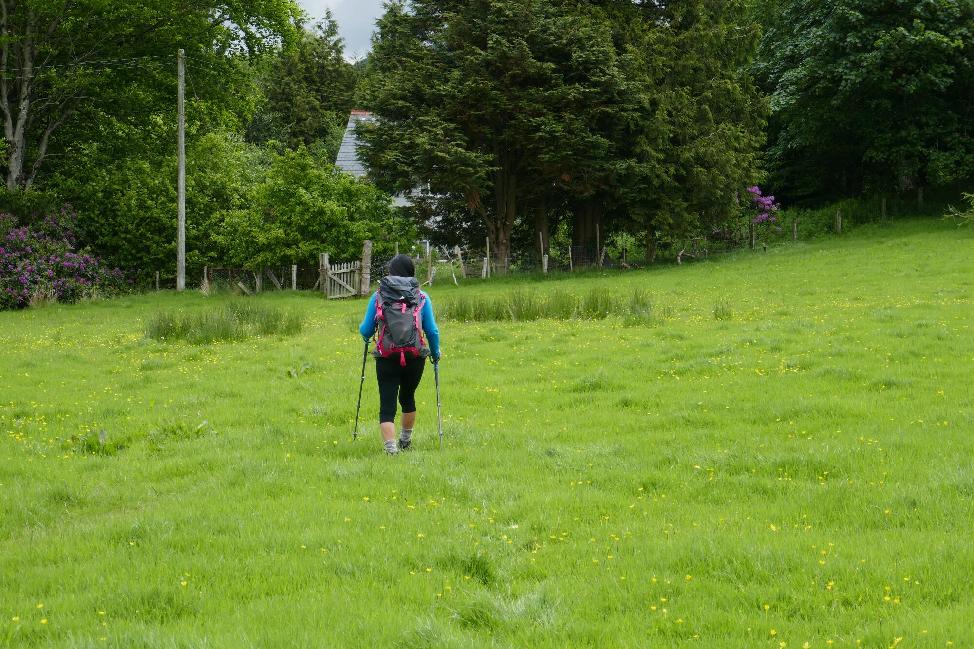
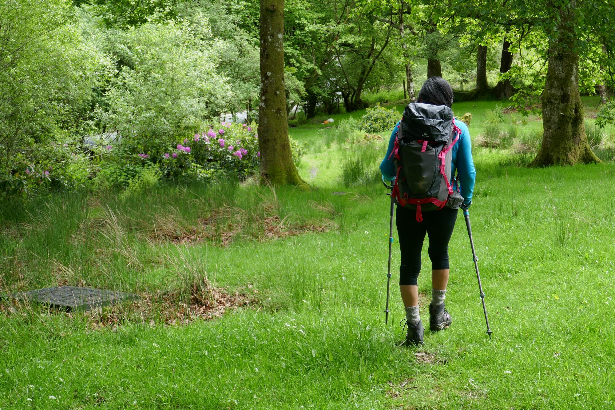
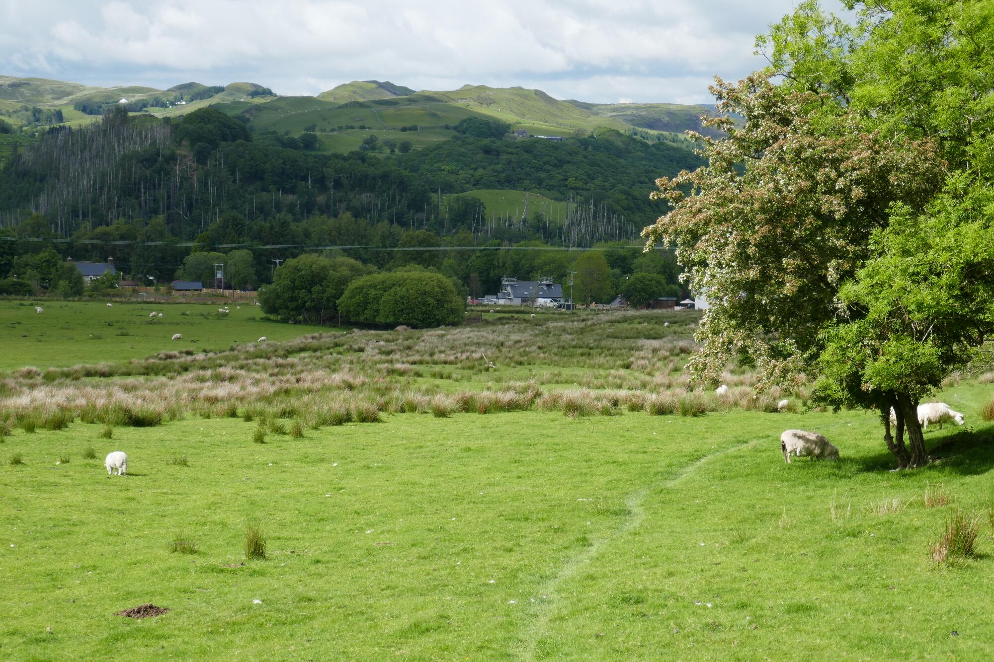
Cross the field on the faint path heading towards the post at the corner of the fenceline to the right, then when near the post bear left heading towards the garden gate ahead (don’t go through it!), then right uphill alongside the garden fence and through the copse, dropping down to a stile giving onto the B4574 road to Cwmystwyth.
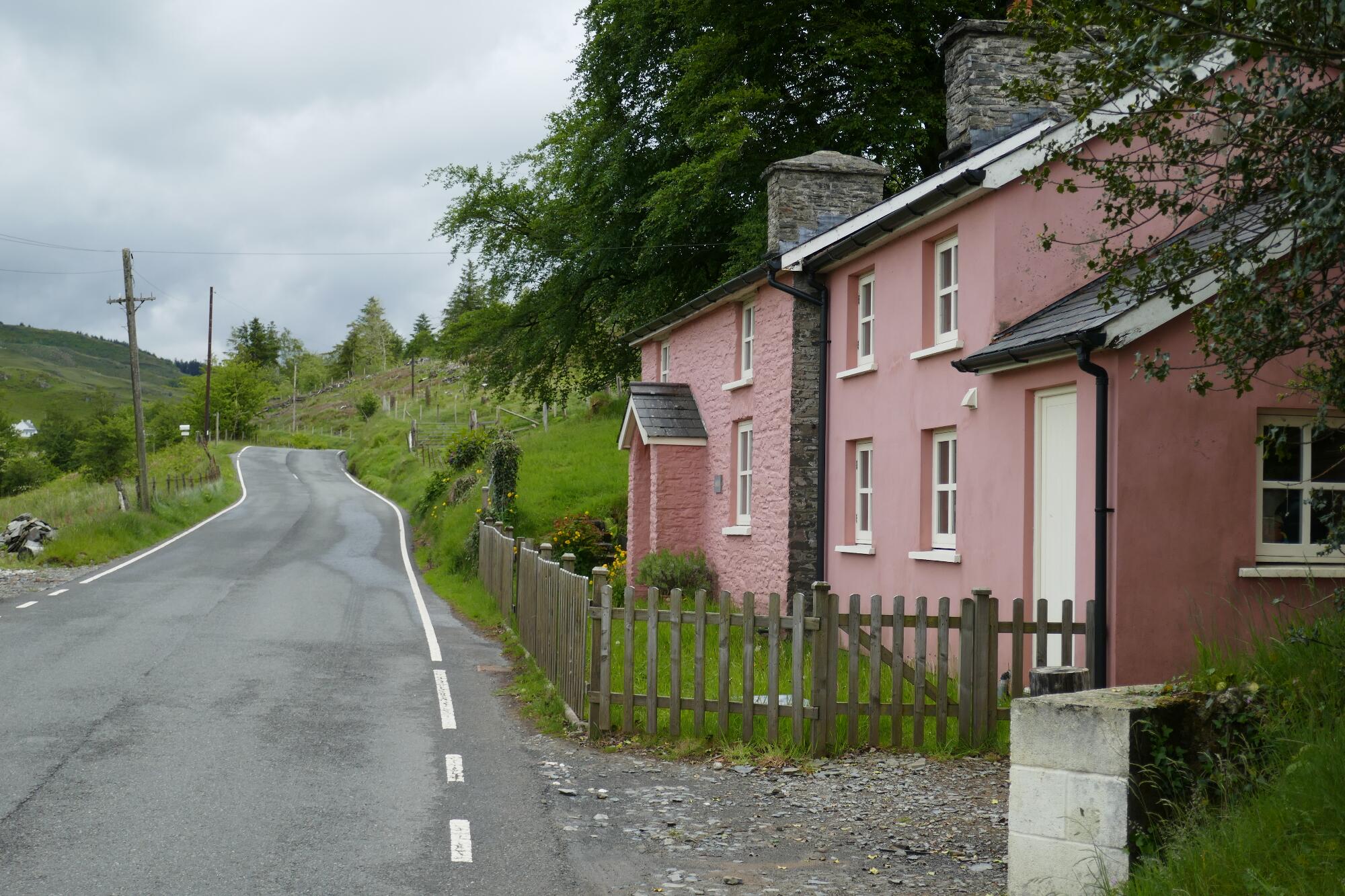
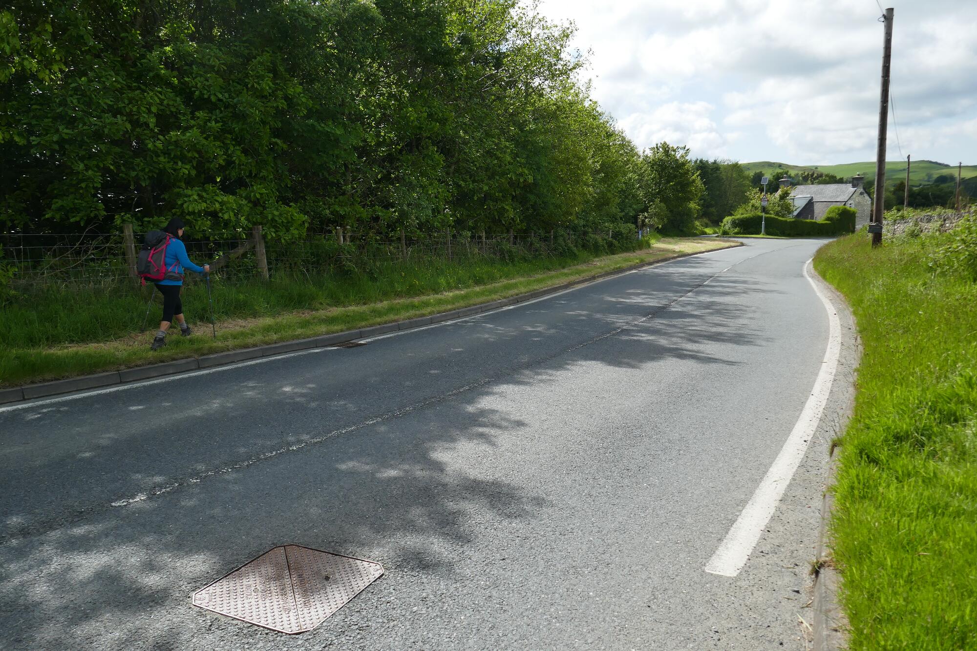
Turn right onto the road, and walk 400m uphill to the pink-painted cottage called Gwar-felin. Just beyond, take a left turn onto a bridle track and gate labelled ‘Aber Bodcoll’.
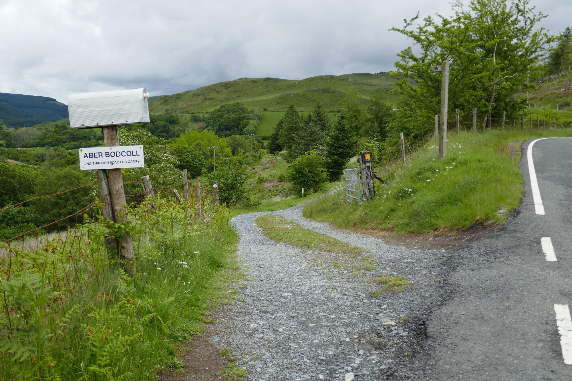
A short distance along the bridle track, a small path branches off to the left, which you should take if you are choosing the November to June (recommended) upper route in the valley.
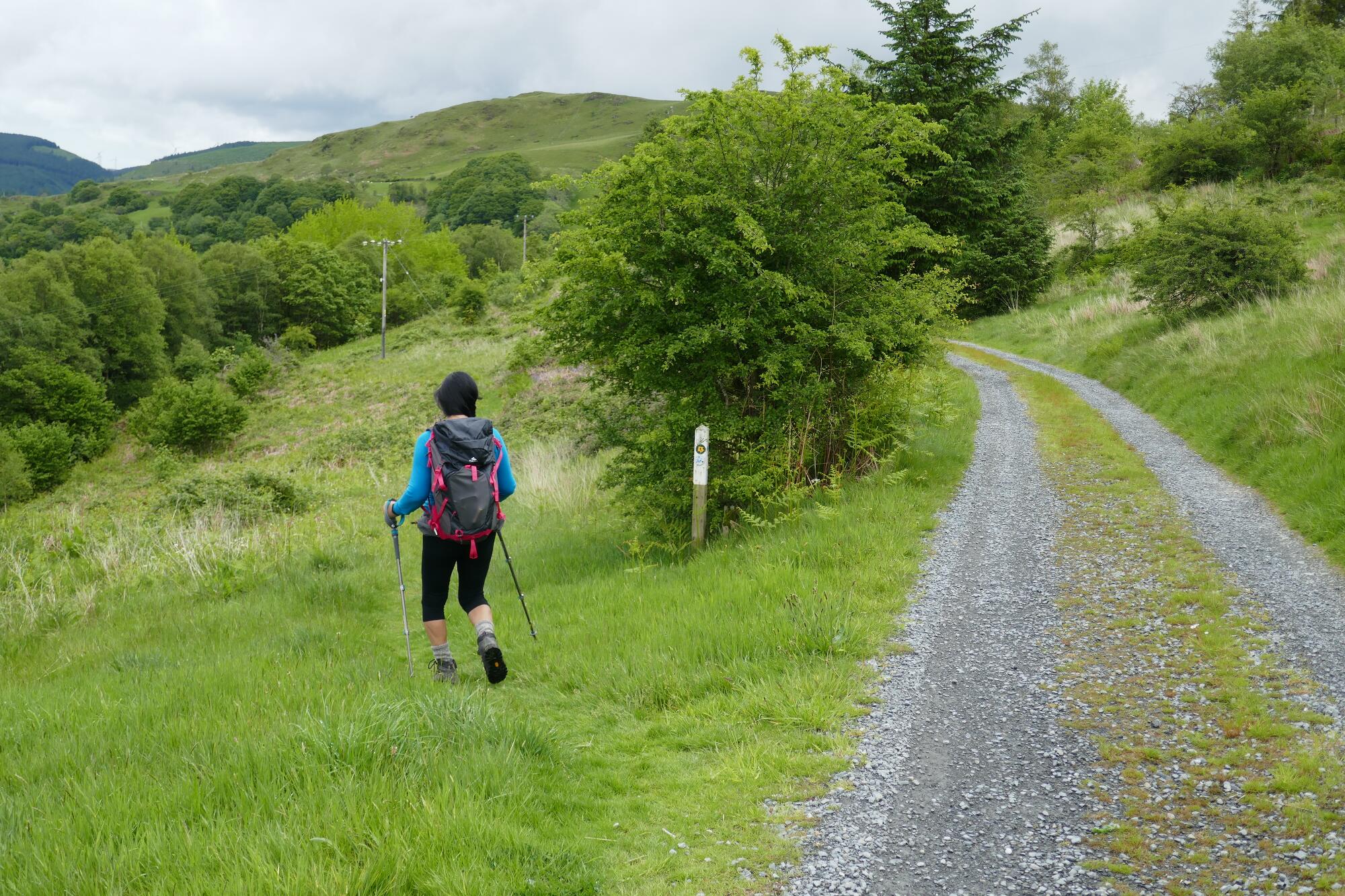
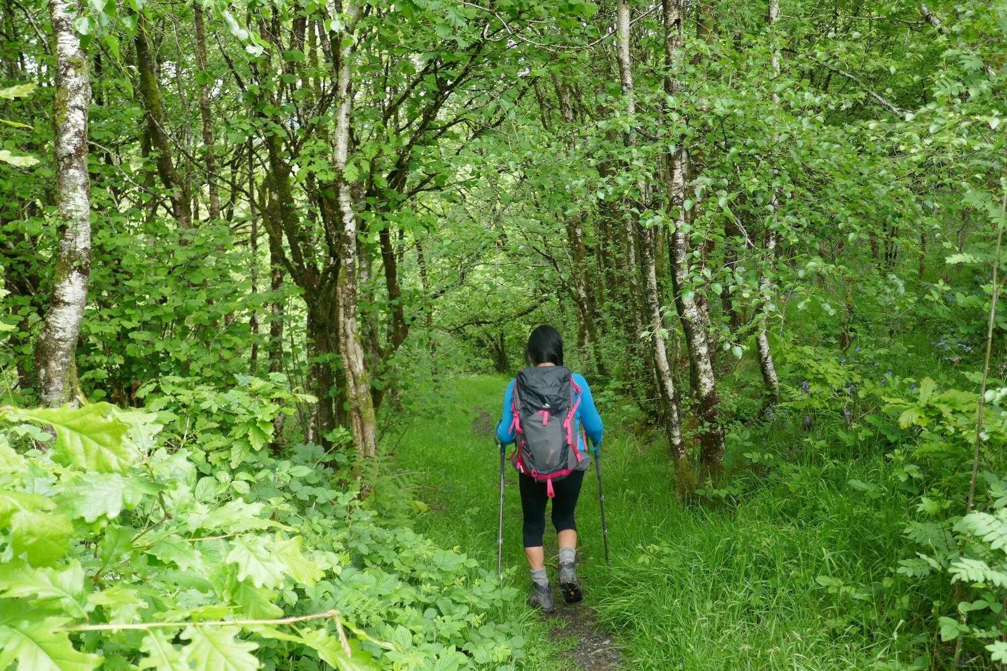
Otherwise, carry straight on for about 3 km, following the waymarks (NB the early track diversion to avoid the house) to arrive at the top of this section of the valley at Point 13 (See blue line on the static map).
After a pleasant downhill walk through the wood, you arrive at the footbridge over the Afon Mynach at the former Bodcoll Mill. From here, go up the other side of the glade on a slightly wet path to a stile onto a grassy open hillside.
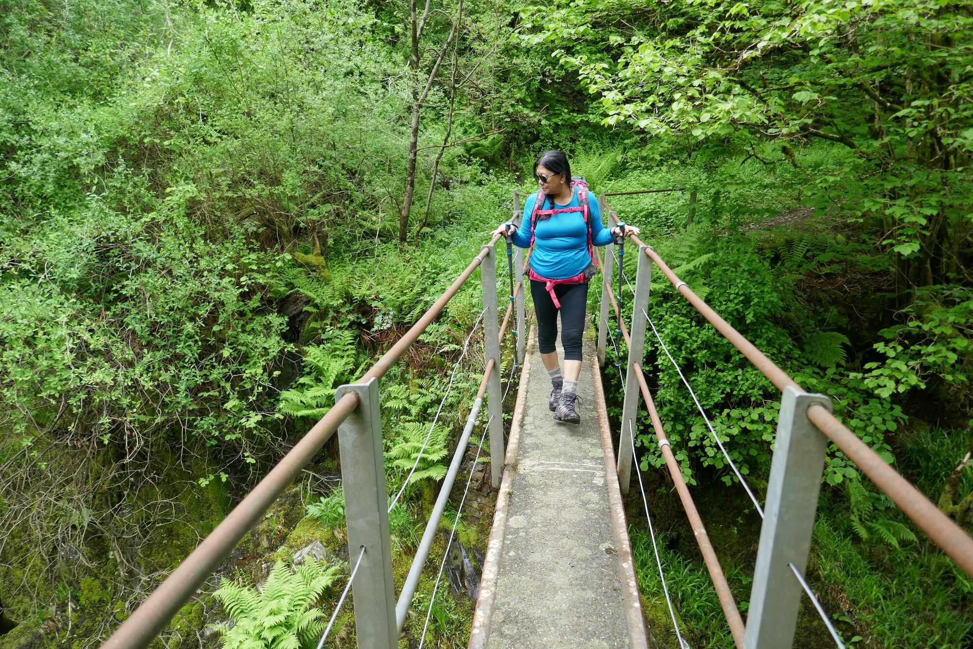
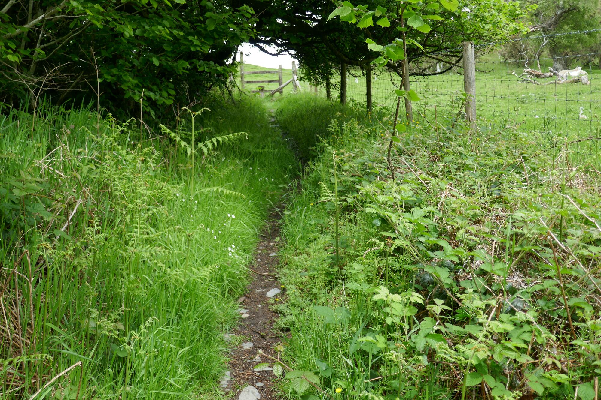
Keep going straight ahead uphill here, even though the path more or less disappears, and after about 150 metres arrive at a metal gate, with a stile up to the right for walkers. Here you join a pleasant track heading in the same rough direction; keep going to where you meet a copse of trees on the right, and the back driveway entrance to the ‘Woodlands’ caravan and camping site to the left.
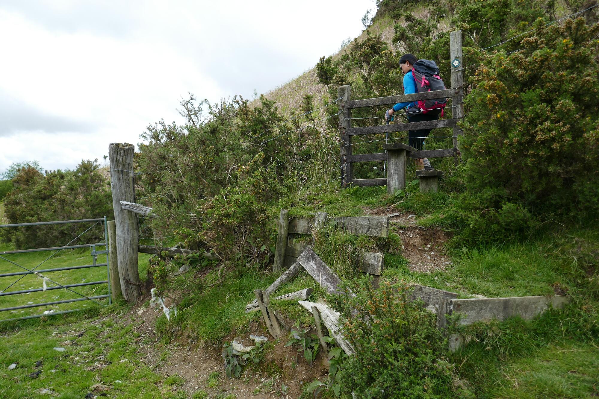
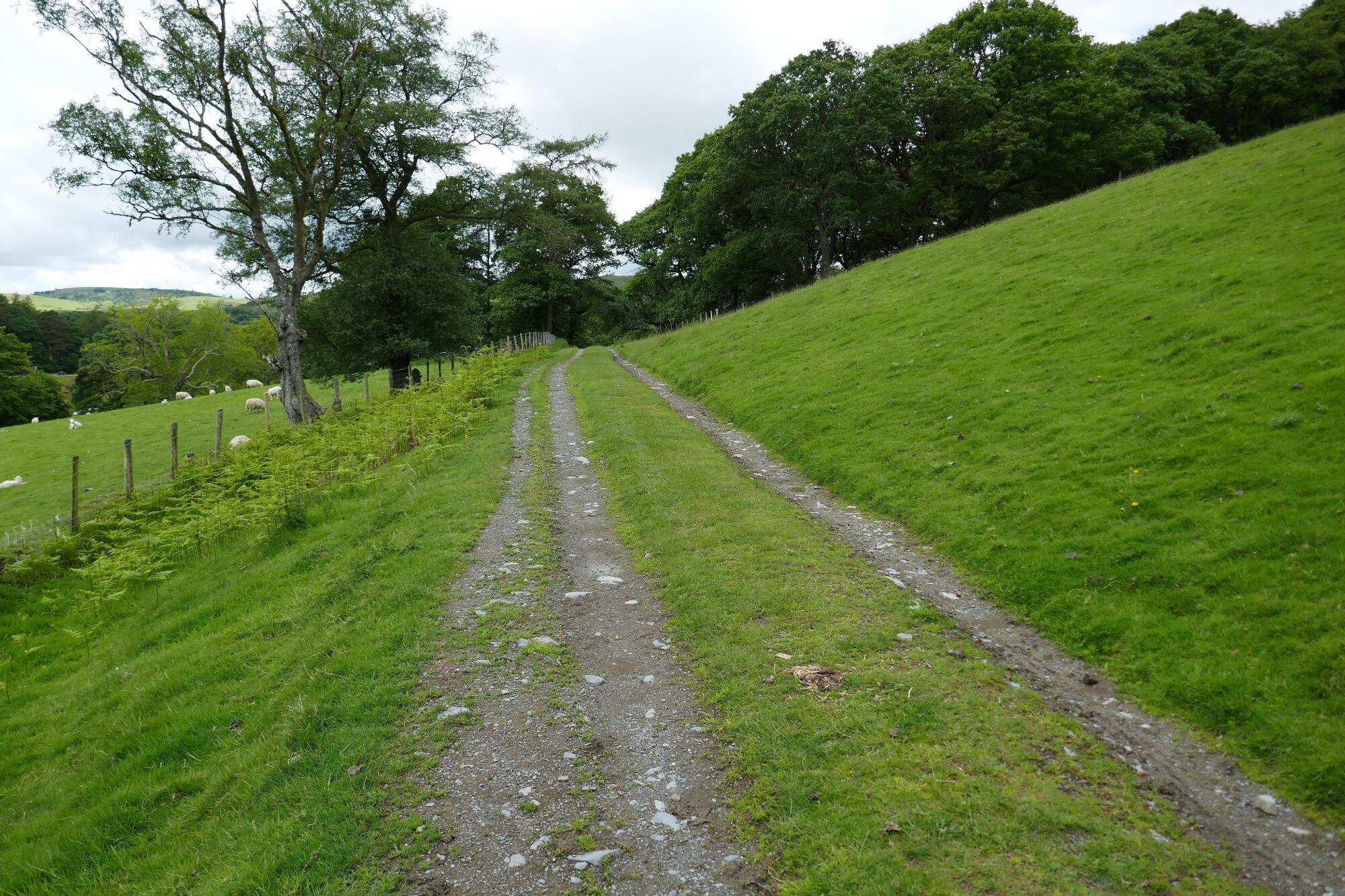
Opposite the site driveway, turn right into the trees, and head uphill to a gate leading onto the open hillside. Spot a waymark post over to the right at the far edge of the open grazing land amongst scattered trees, and pick up the now clear path ascending diagonally up the hillside in a roughly southerly direction.
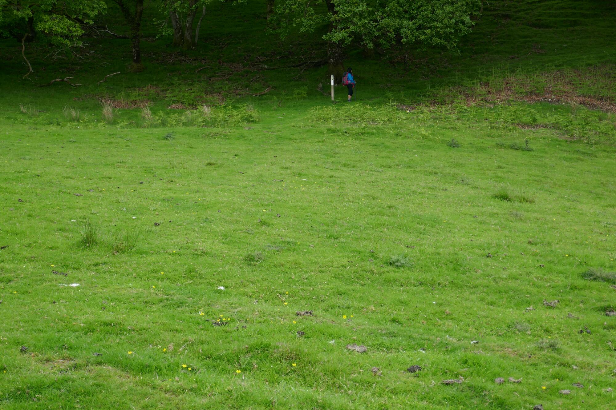
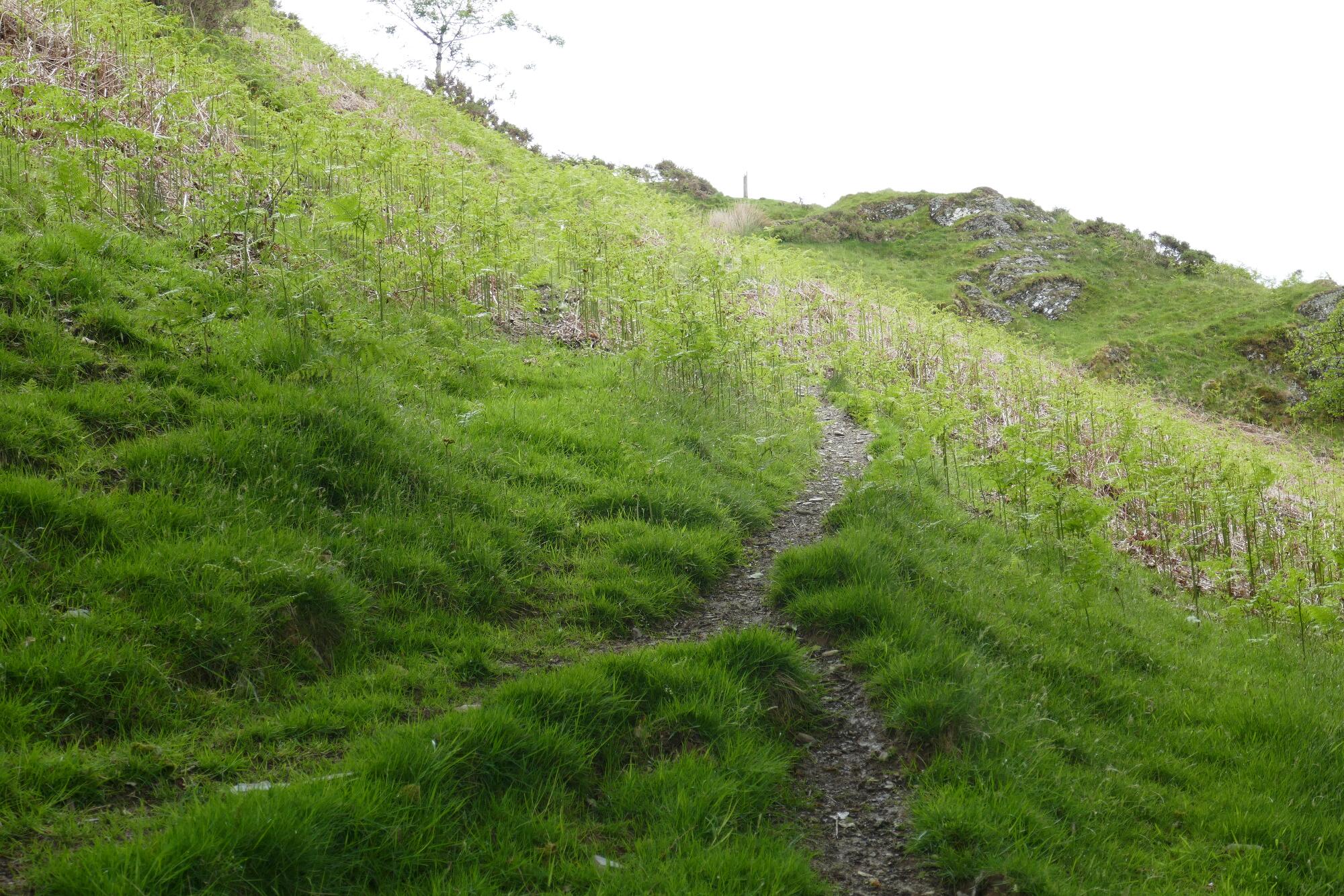
Following this path, the view opens out and you arrive at a lightning-hit post at the brow of the hill. From here, there is a nice view of the Rheidol Valley, and continuing a short distance gently uphill to a waymark post, a view of the Mynach Valley opens out ahead.
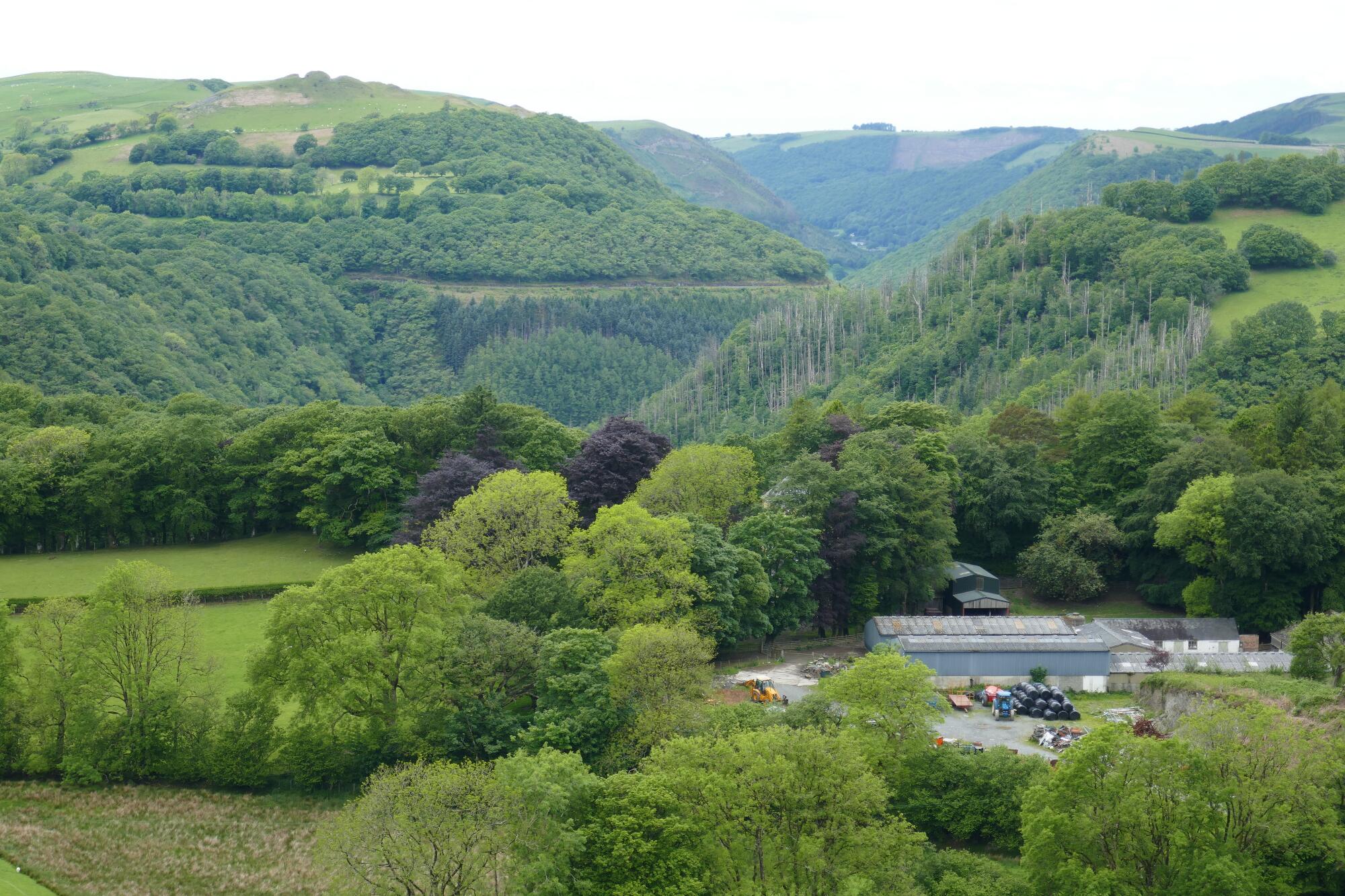
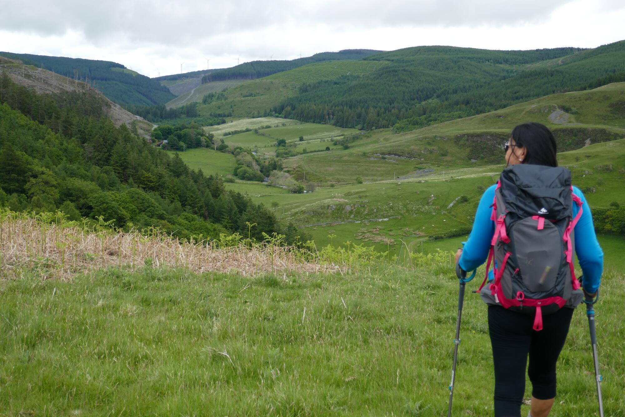
Keep going on the path over the hill crest, then downhill the other side through bracken (difficult in later summer) to another waymark post indicating left on the valley path.
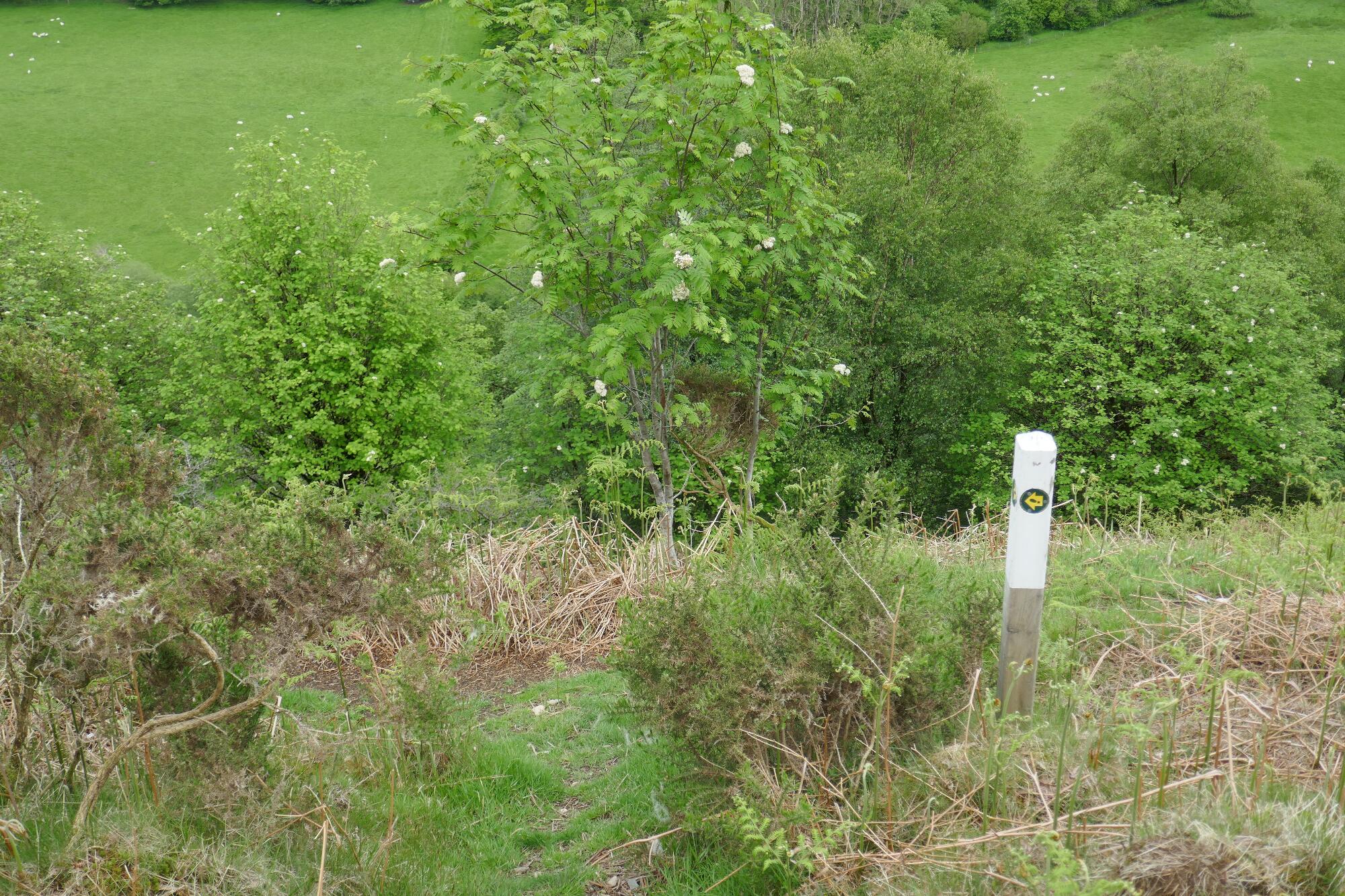
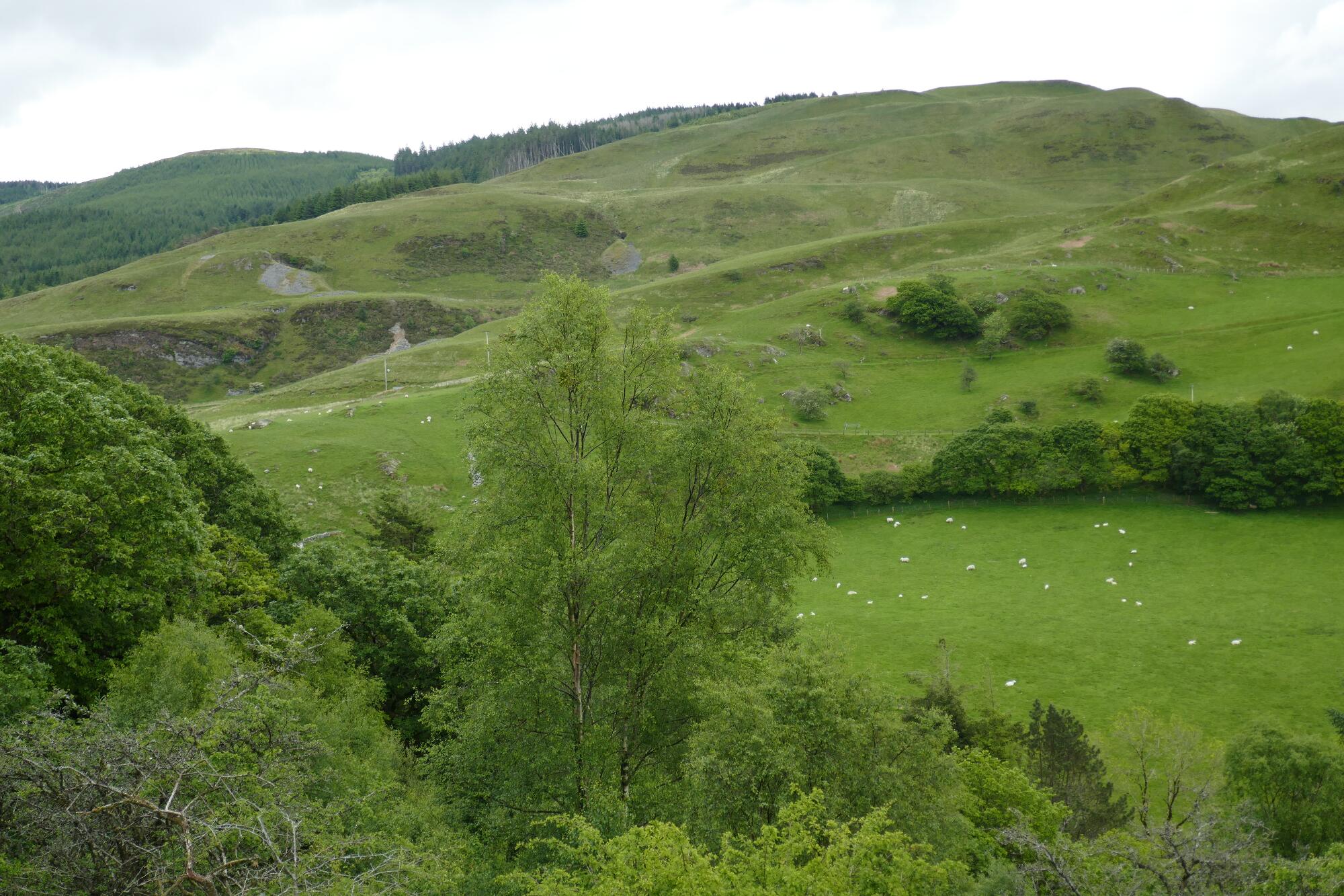
There follows a rather uncomfortable section of gorse and scrub invaded path with lumps and hollows which fortunately does not last long before arriving at a forest boundary.
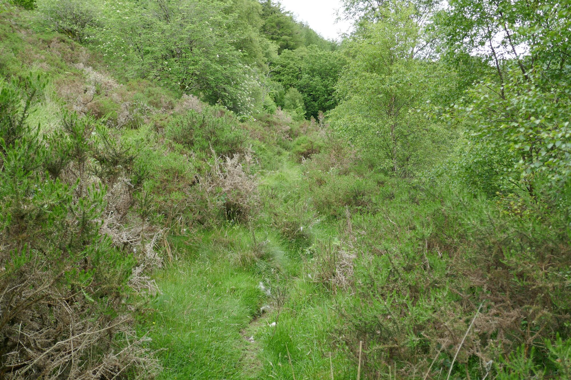
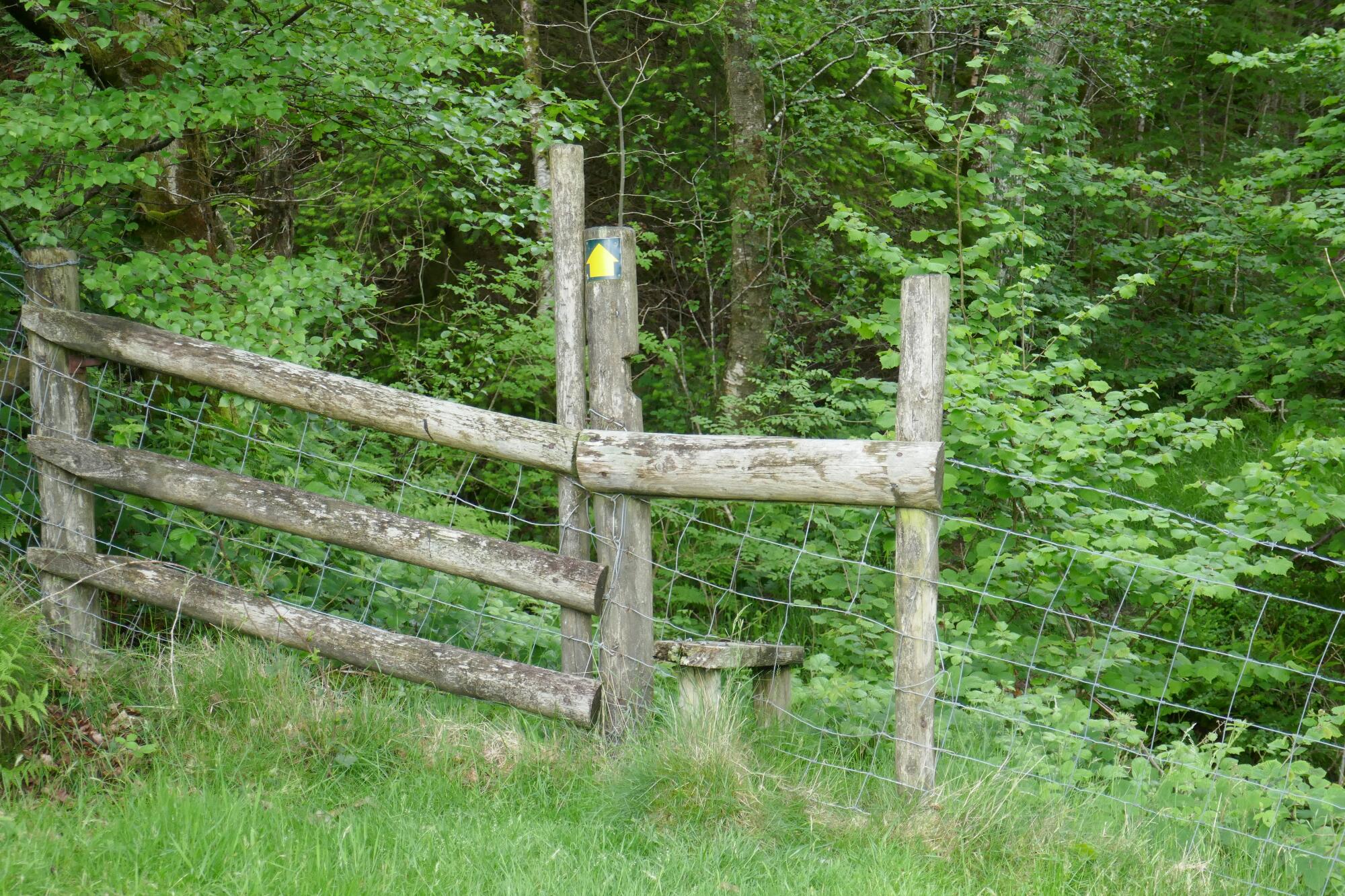
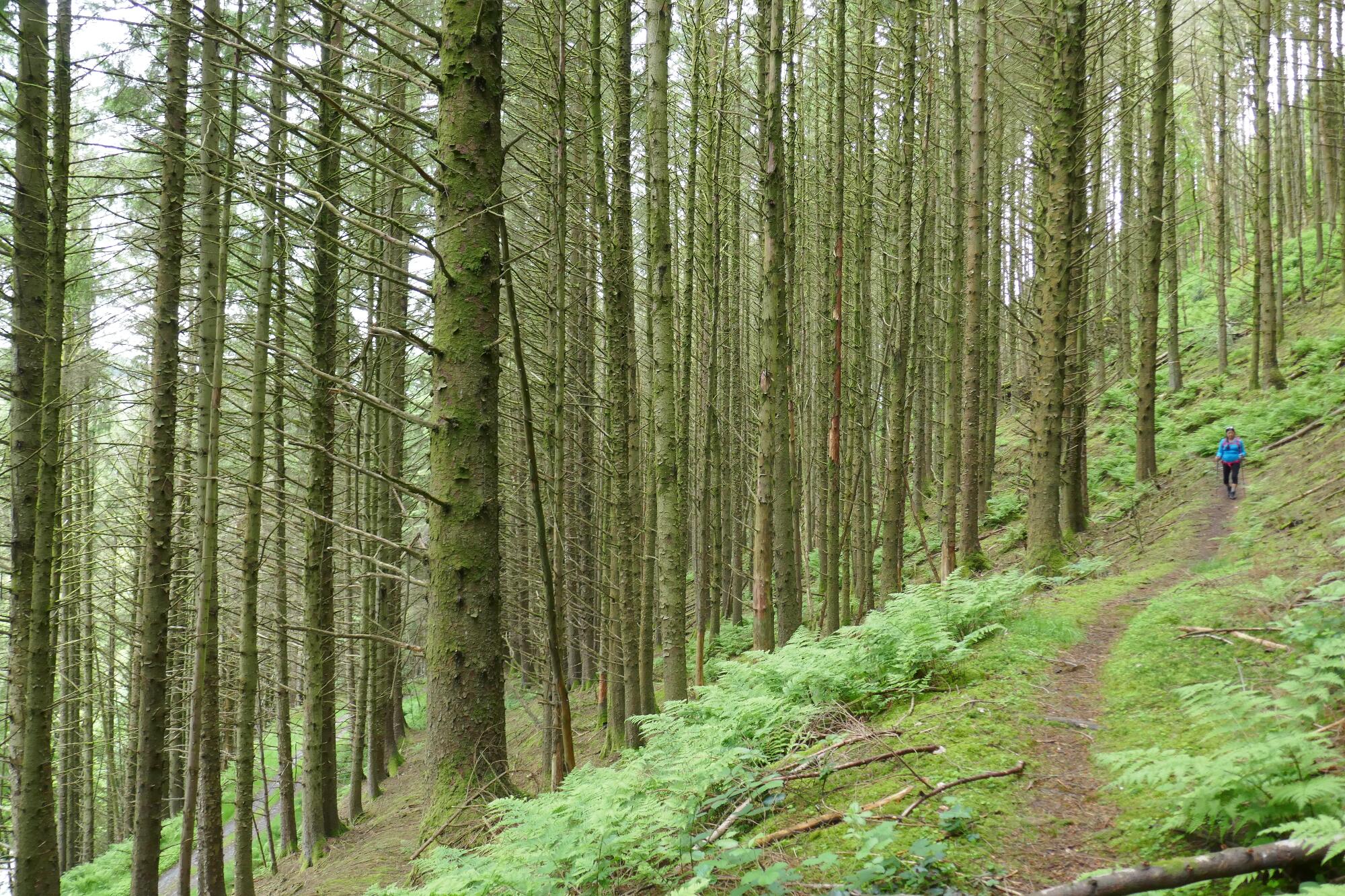
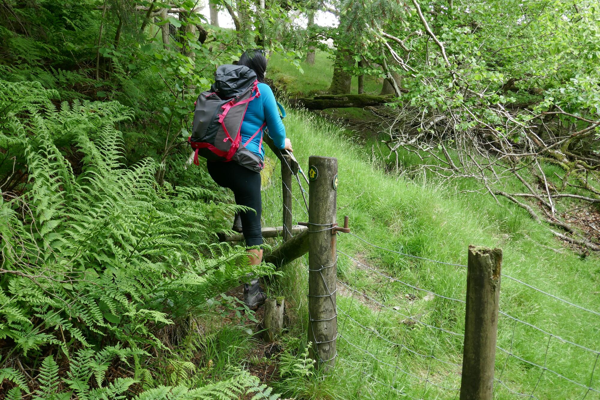
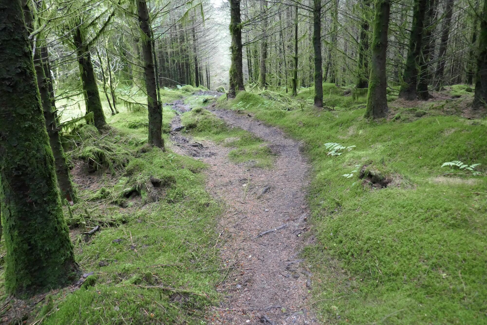
There is then a section of delightful forest path which gradually and gently descends towards a track lower down. To join the track, the path suddenly goes up to the left to cross a stile, then steeply down the other side for a short distance.
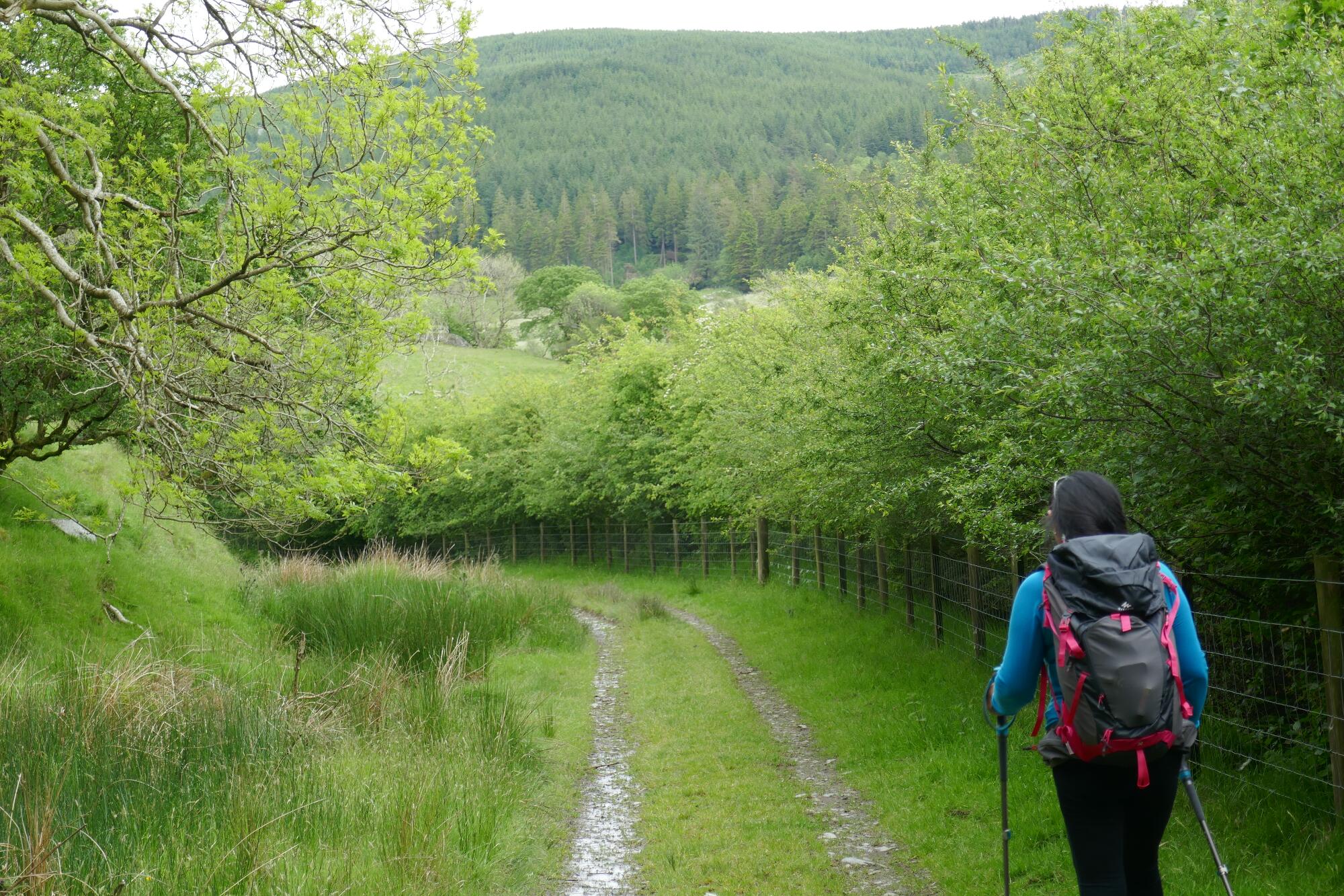
Walk along the track for about 400m to get to the gate leading into the garden of the former farmhouse called Llaneithyr.
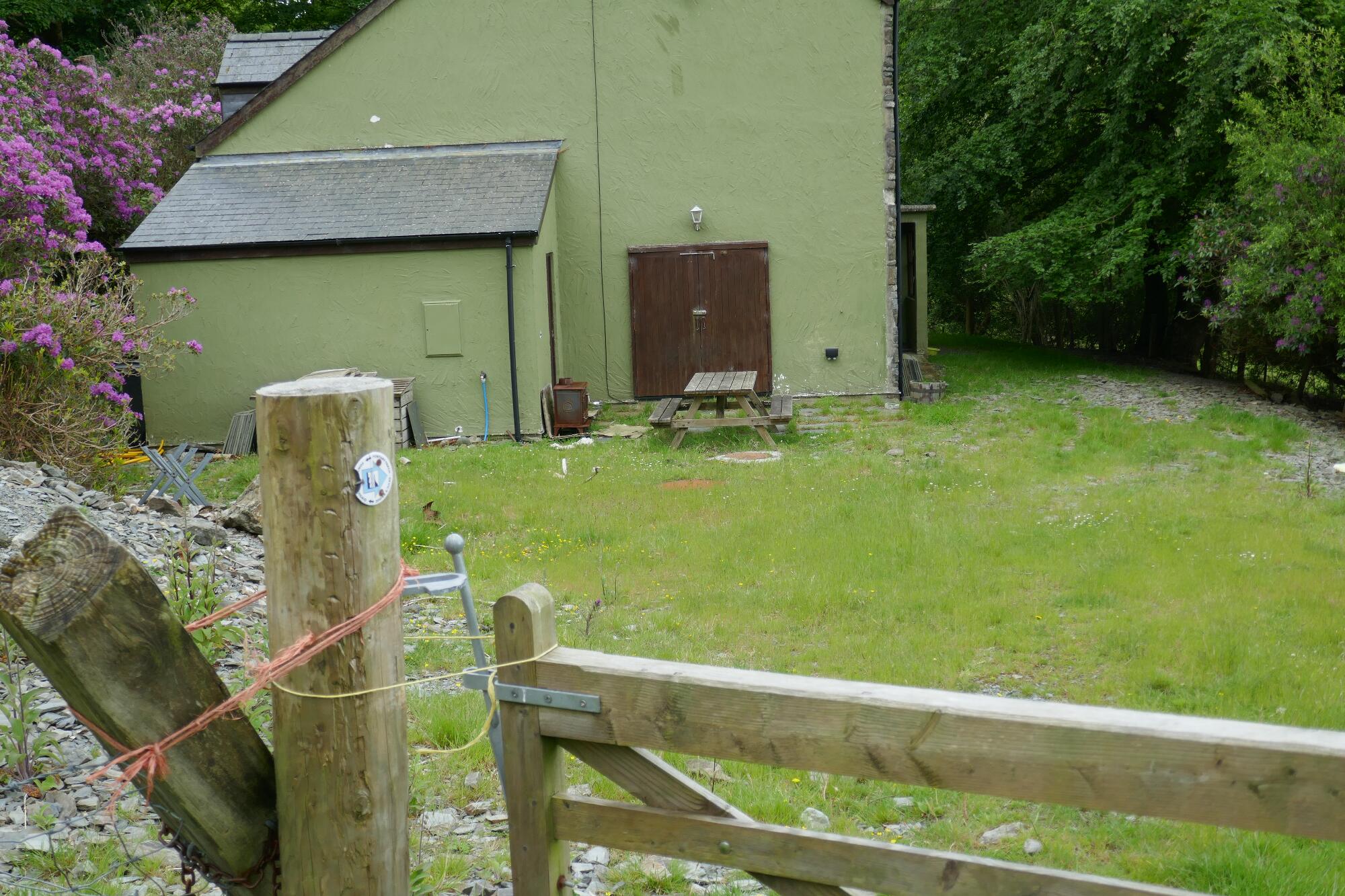
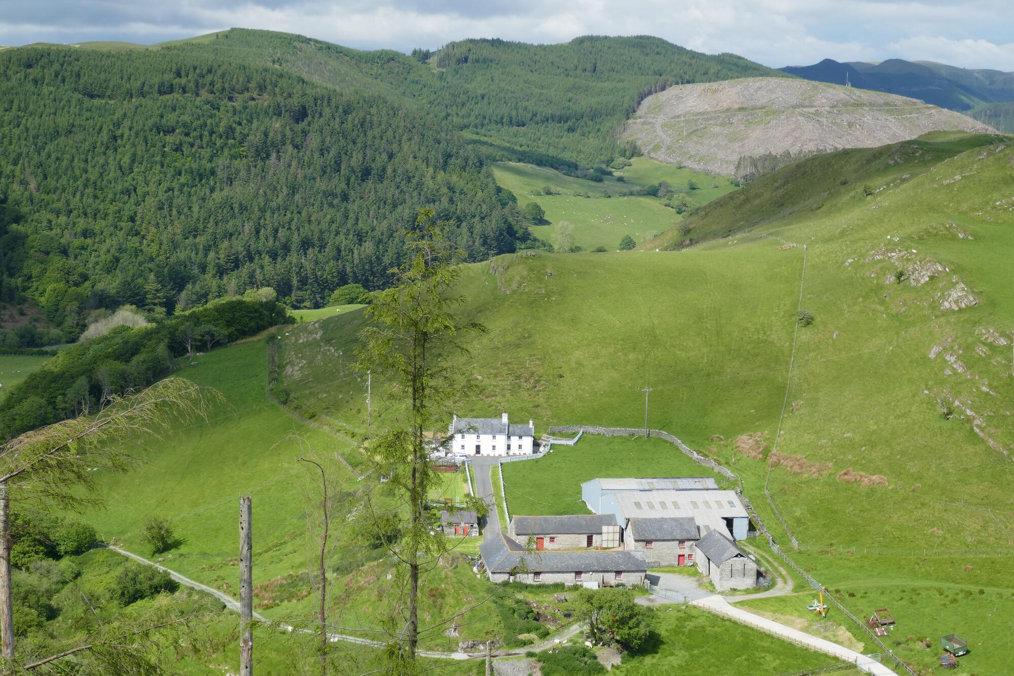
The public right of way leads round close to the house, which looked unoccupied at the time of writing, through a metal gate, then through very wet and muddy sections between derelict farm buildings and dry stone walls, to discover a stile and reassuring waymark over the fence to the left.
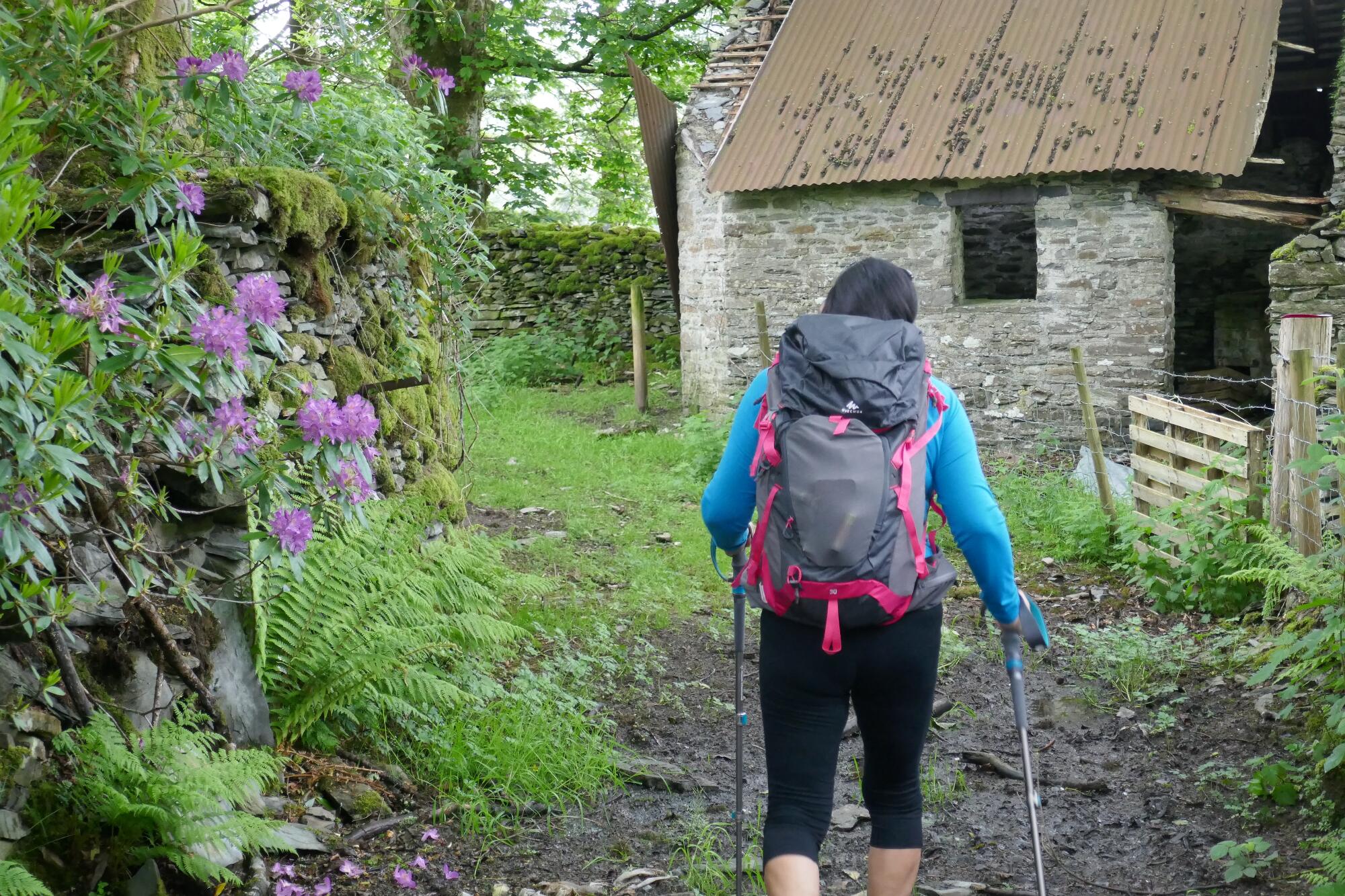
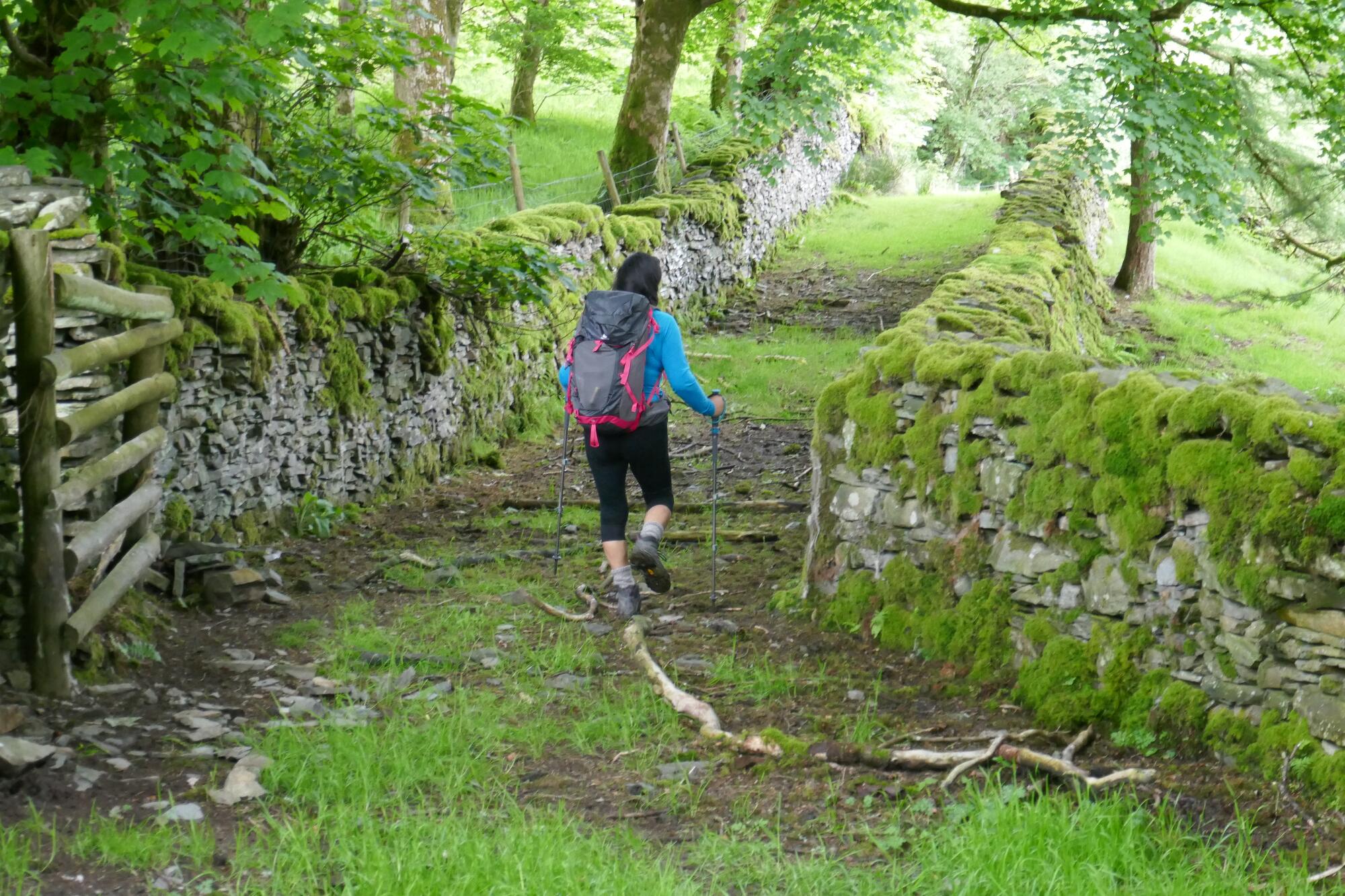
The path running steeply up diagonally a short distance through the trees to the left has become overgrown during the recent pandemic, but you should still be able to break through fairly easily to the stile leading onto a forestry track.
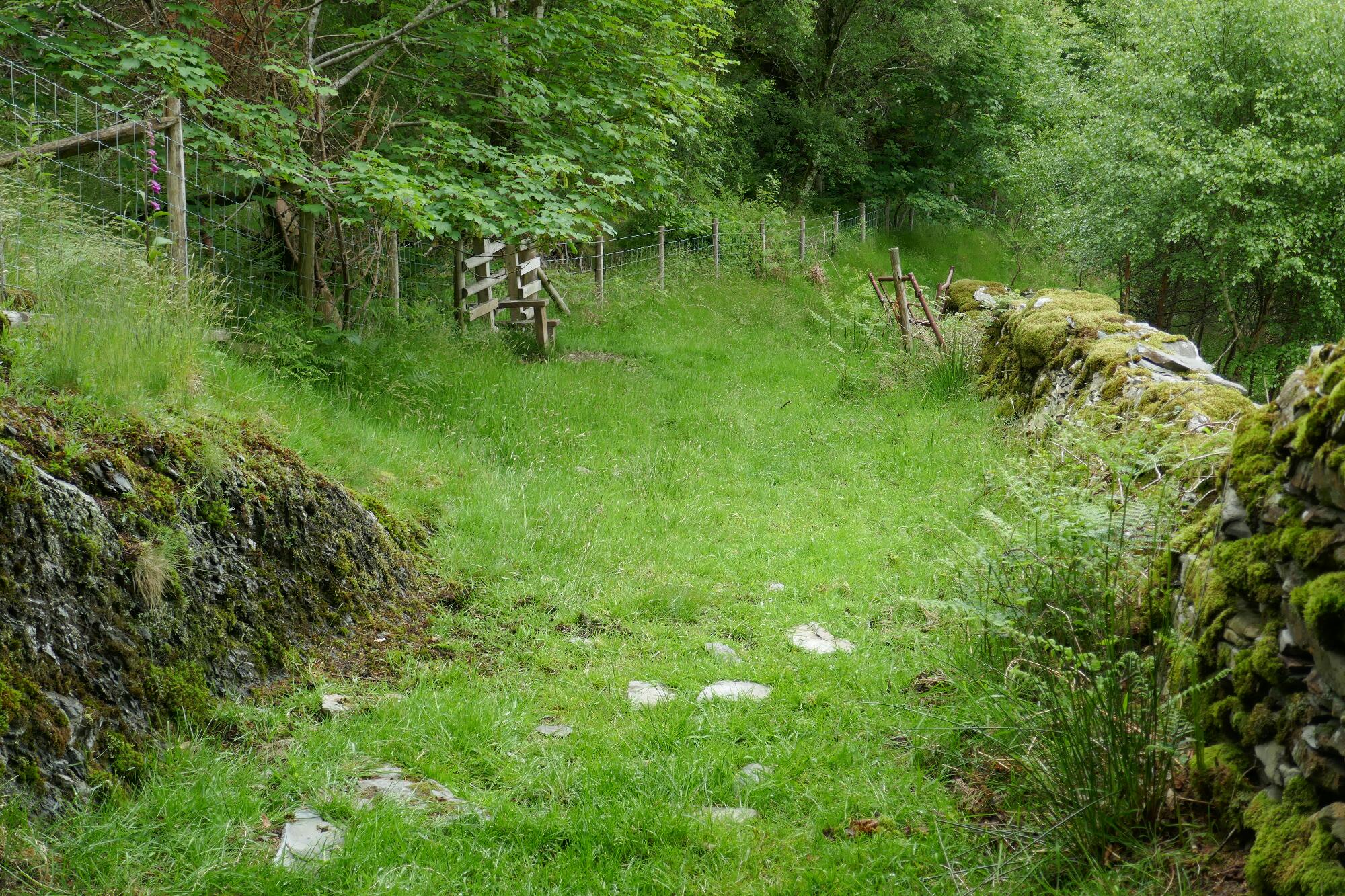
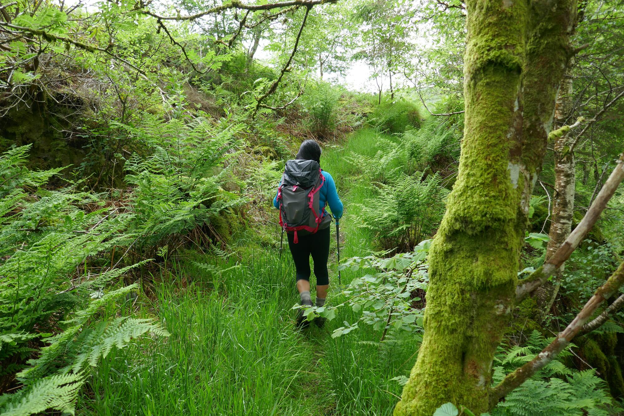
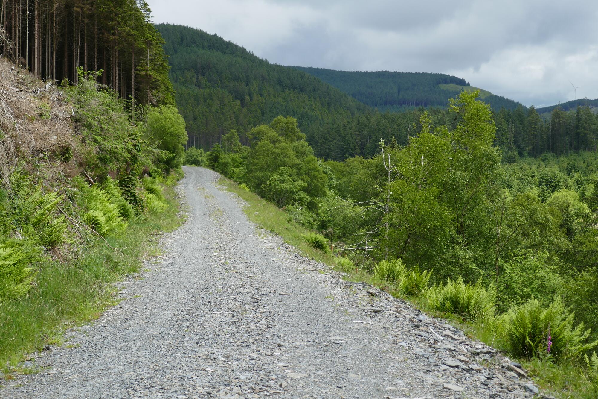
The forestry track has been built up with loose gravel in recent years, somewhat spoiling what used to be a wonderful green lane, but it is still easy walking, undulating a little but keeping more or less to the contour so that you make rapid progress up the valley for about 1 km.
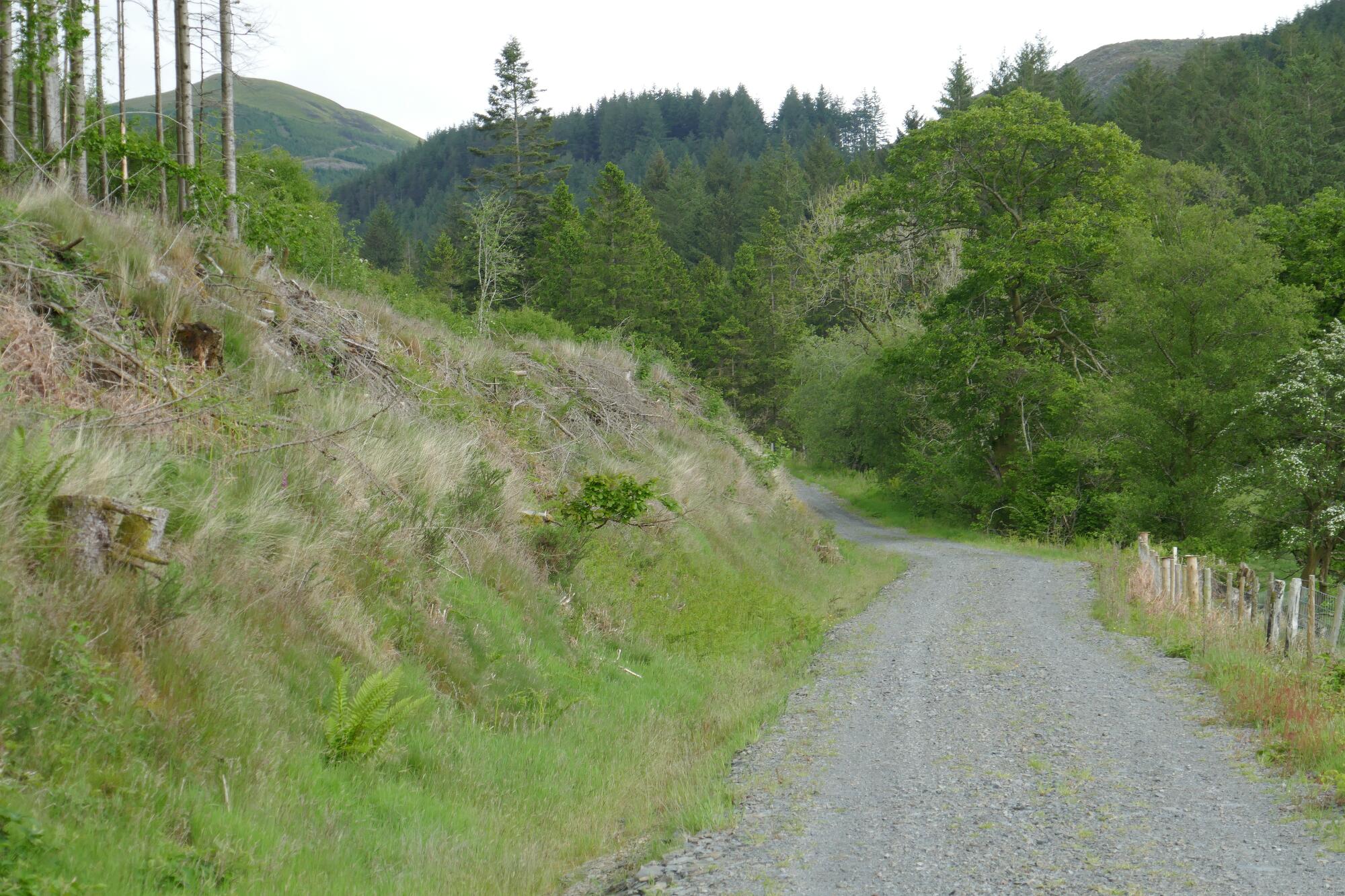
Here there is a stile to cross to the right, soon after the track begins to descend, and as a nice view of Pen Dihewyd appears straight ahead.
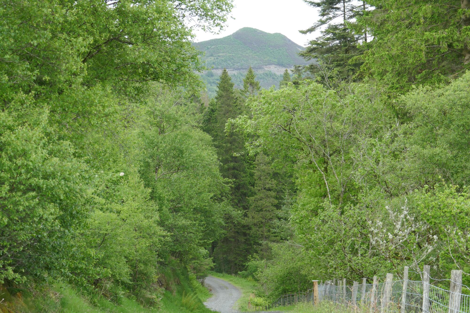
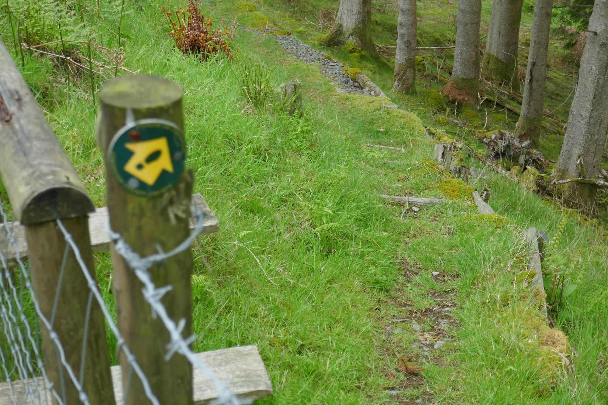
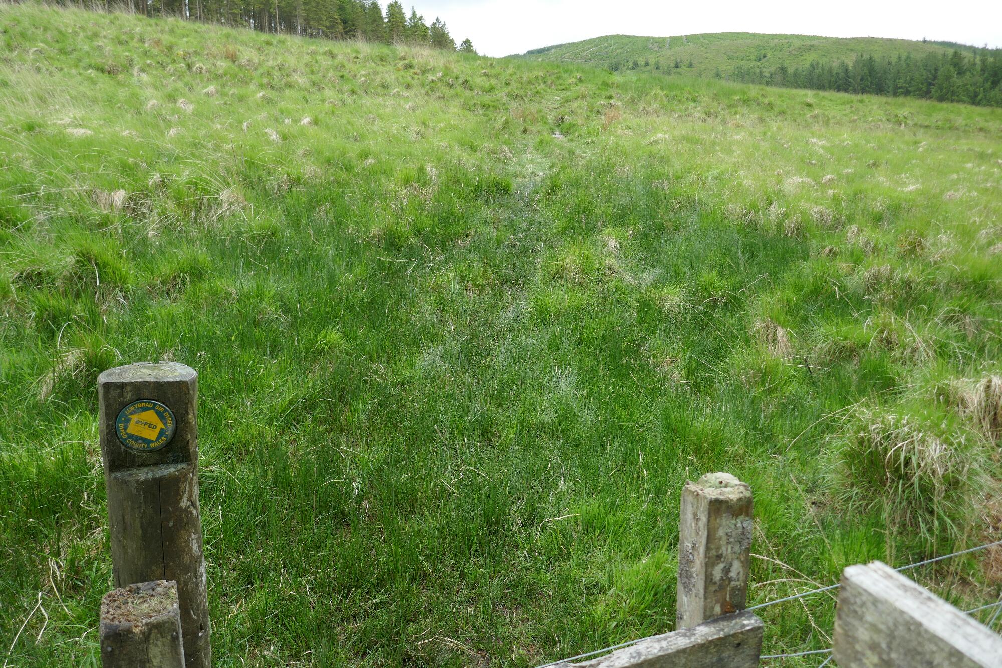
Drop down diagonally through the conifers on ‘rustic steps’ to the footbridge over the little stream called Afon Myherin, then on a faint path through boggy bits and up and over the brow of a grassy pasture towards a rather well hidden second footbridge, over the main stream, which is here called Nant Rhuddnant.
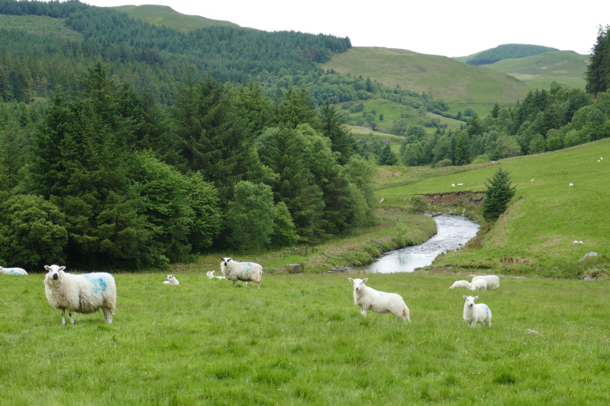
The Afon Mynach is formed from the confluence of these two streams.
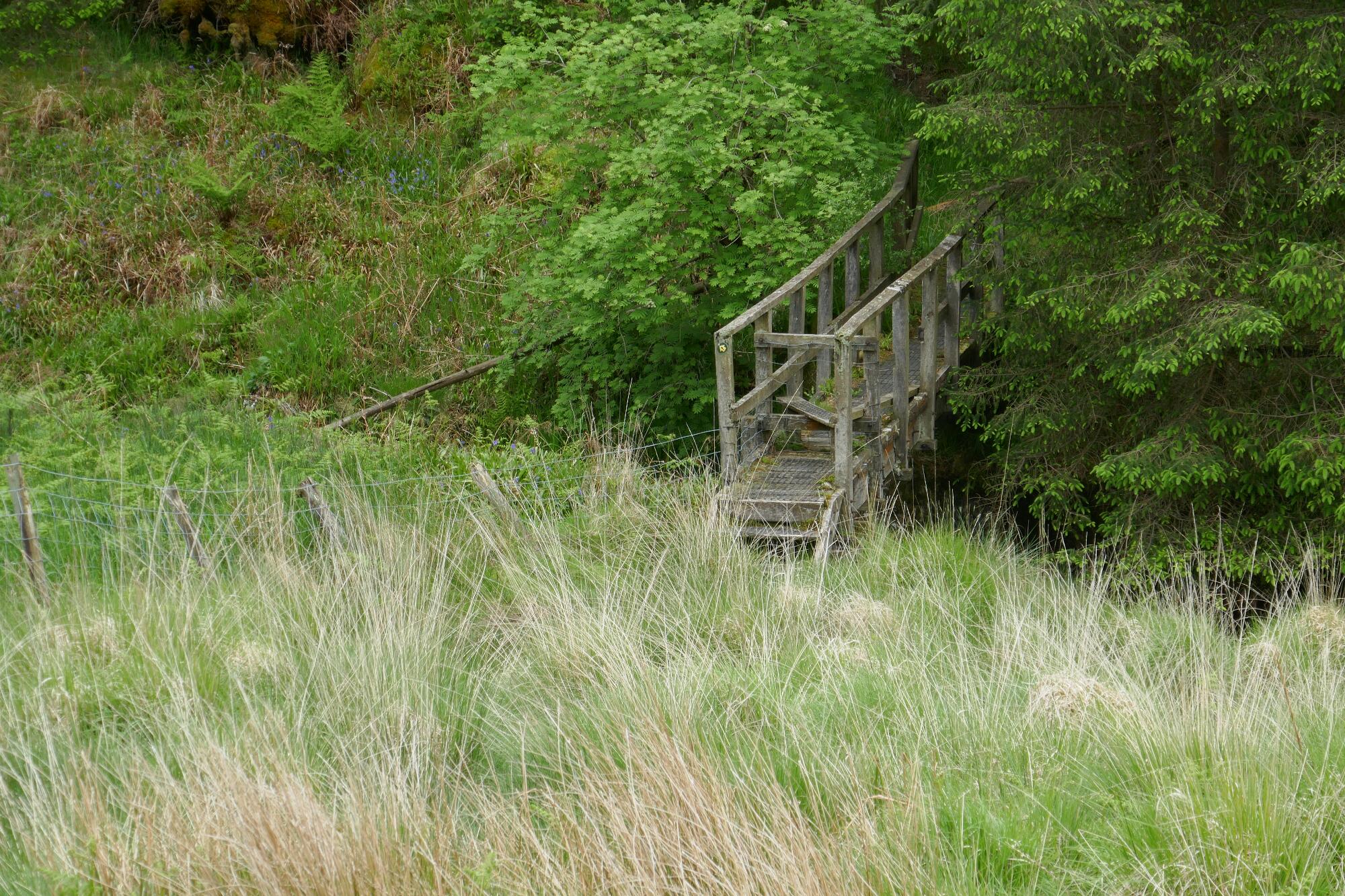
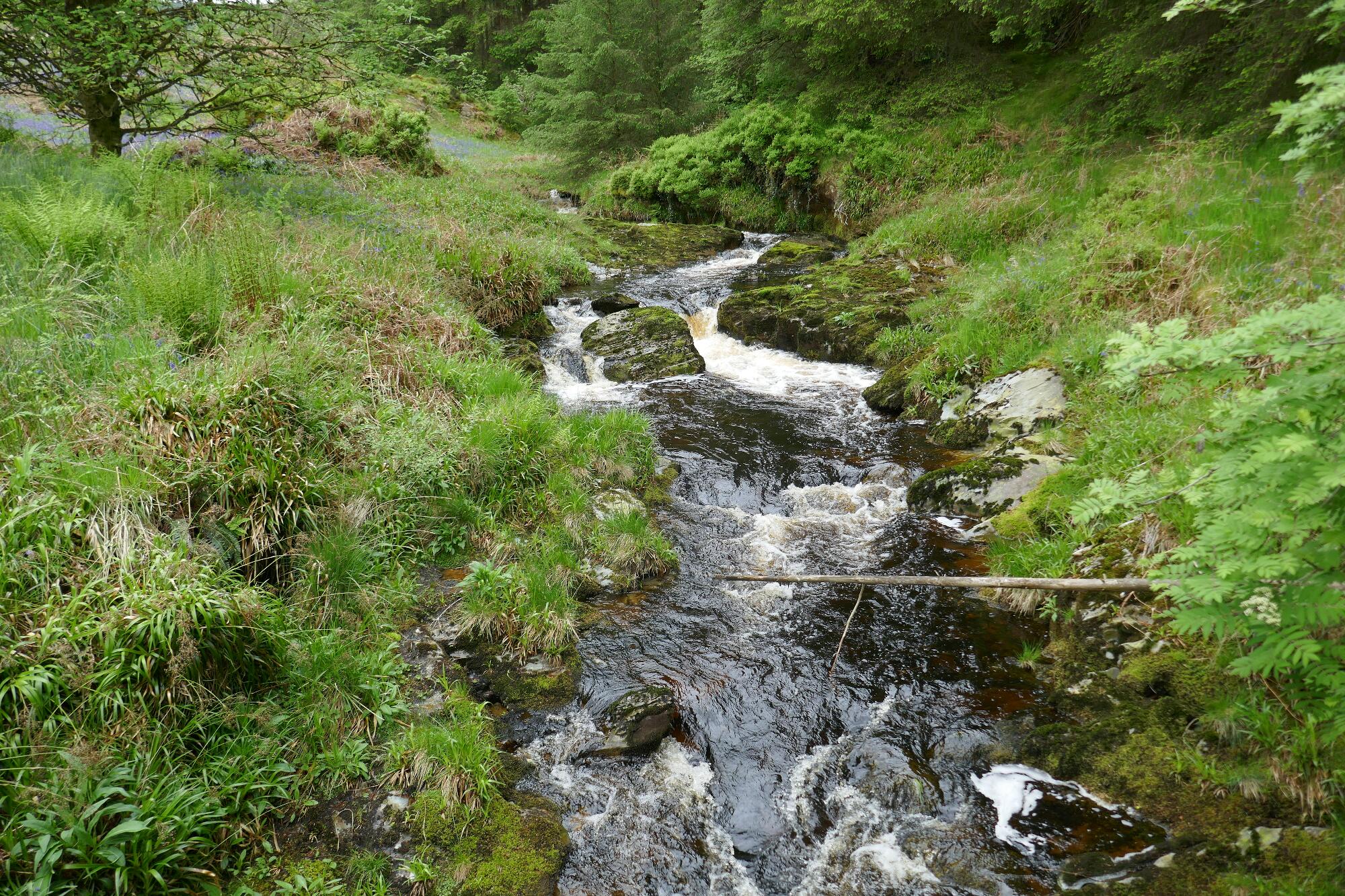
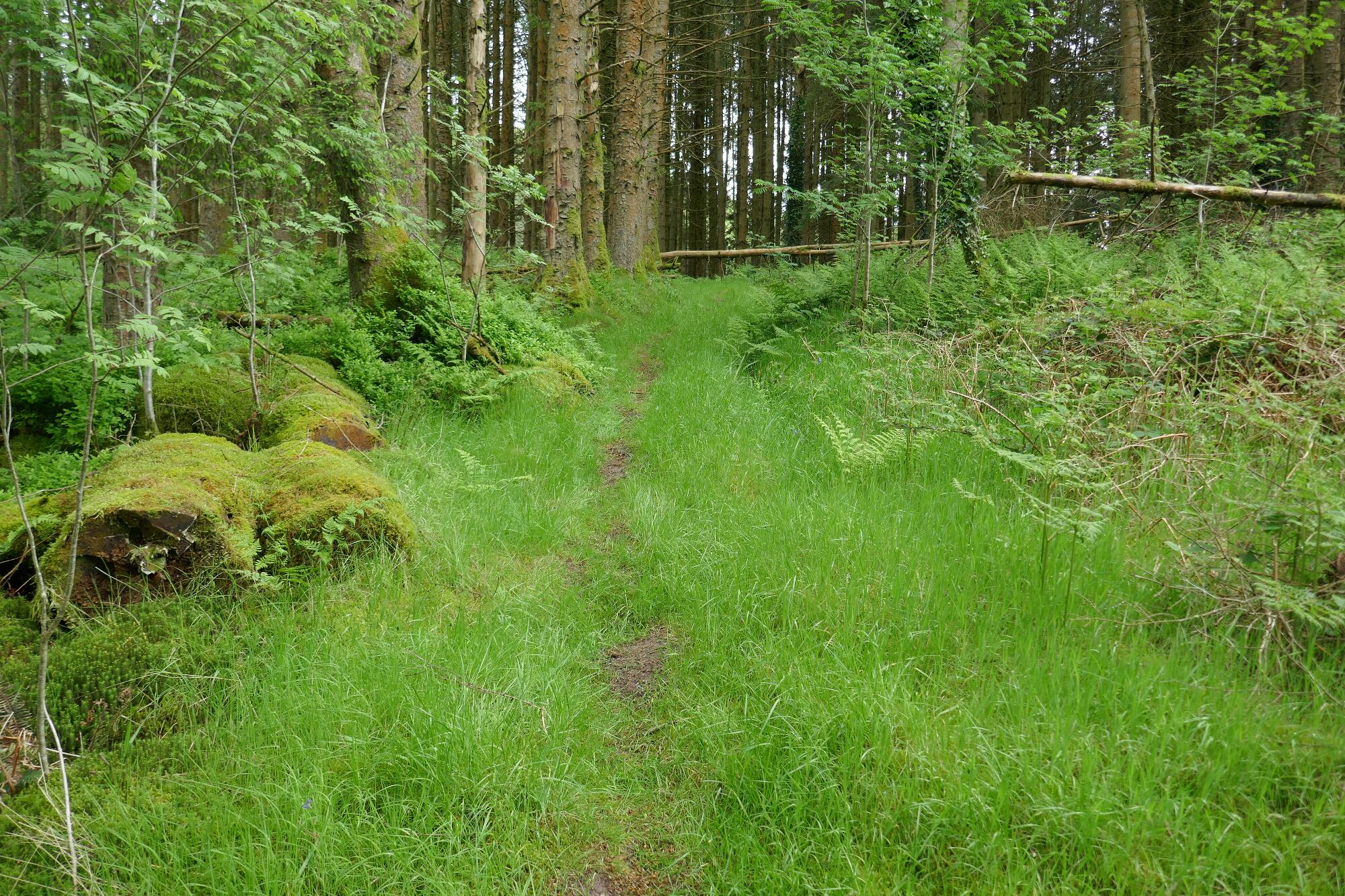
After the bridge, go leftish then straight very gently uphill on a nice path through the forest and meet a large forestry track. Here you have to turn left on the track, then immediately right up the hill.
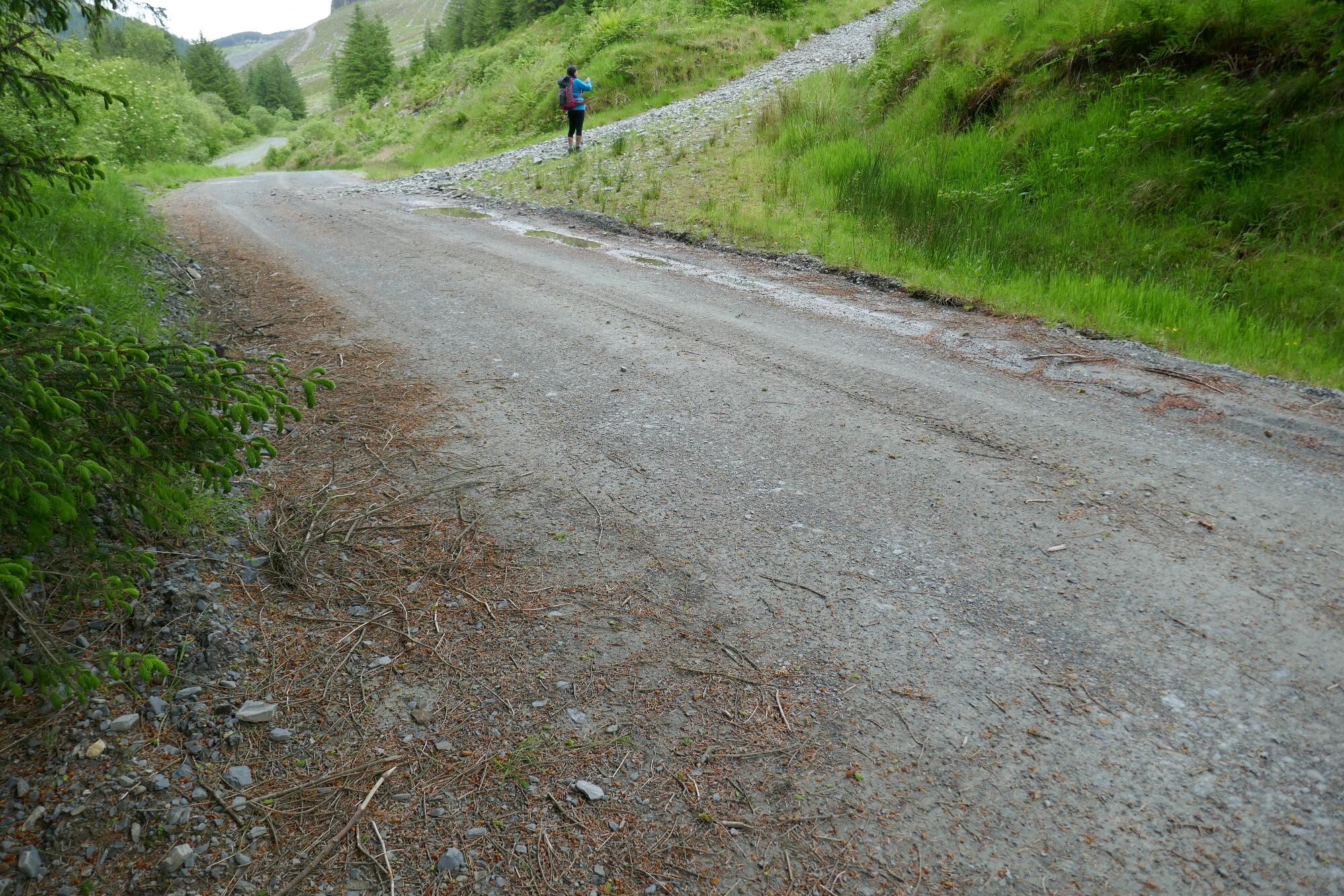
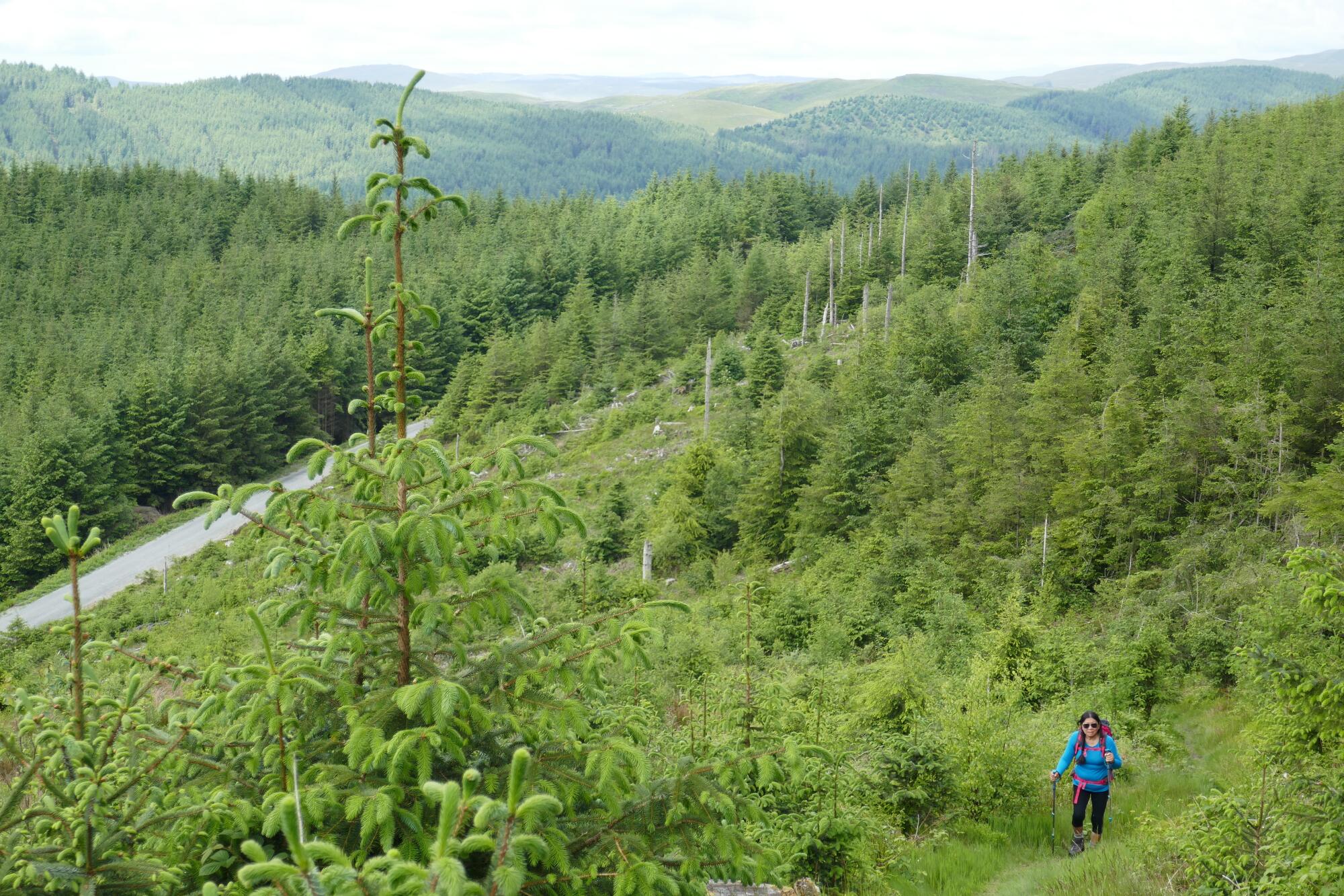
Now the path becomes steep, gravelly and hard work for a while, due to forestry vehicles having churned it up, and then ‘reinstated’ it (so-called) by just throwing down scalpings. But the views opening out are lovely, if somewhat dependant on the cycle of fast-growing conifers, and eventually you will get to a waymark post indicating where you can at last branch off the gravelly track onto a pleasant path.
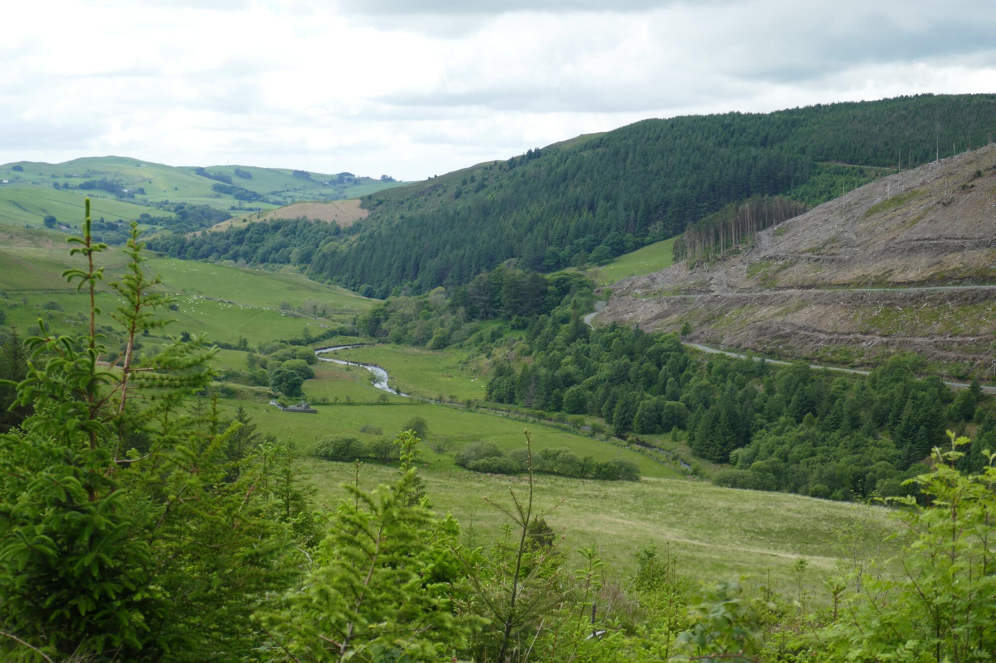
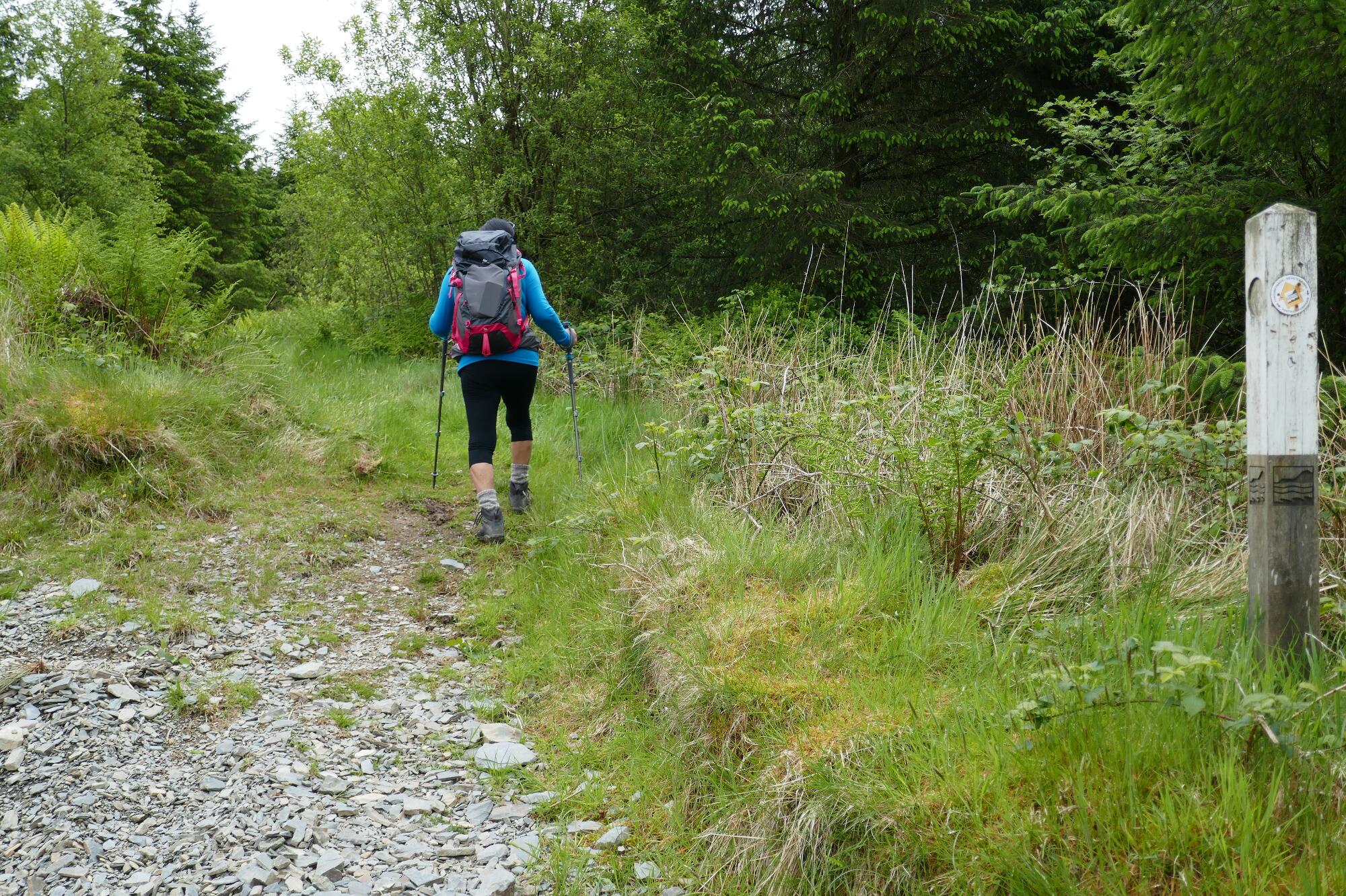
The path still climbs through the trees for some way before levelling off and even descending slightly before crossing yet another forestry track and continuing remorselessly upwards.
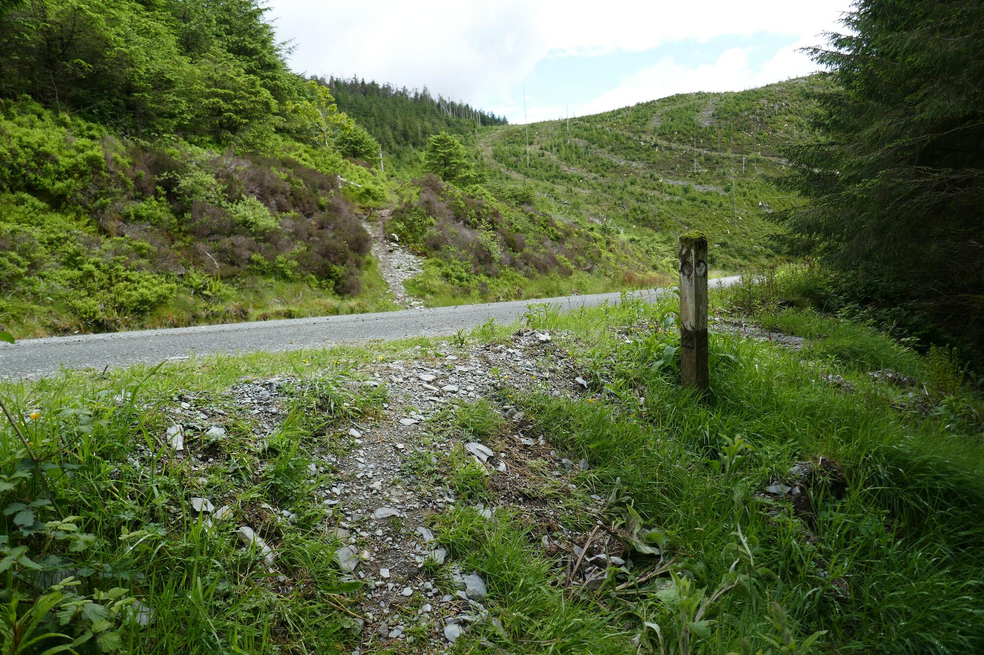
The views here will depend very much on the state of growth of the plantations, and you will be really noticing your 200m ascent up to the highest point of the walk at 453m!
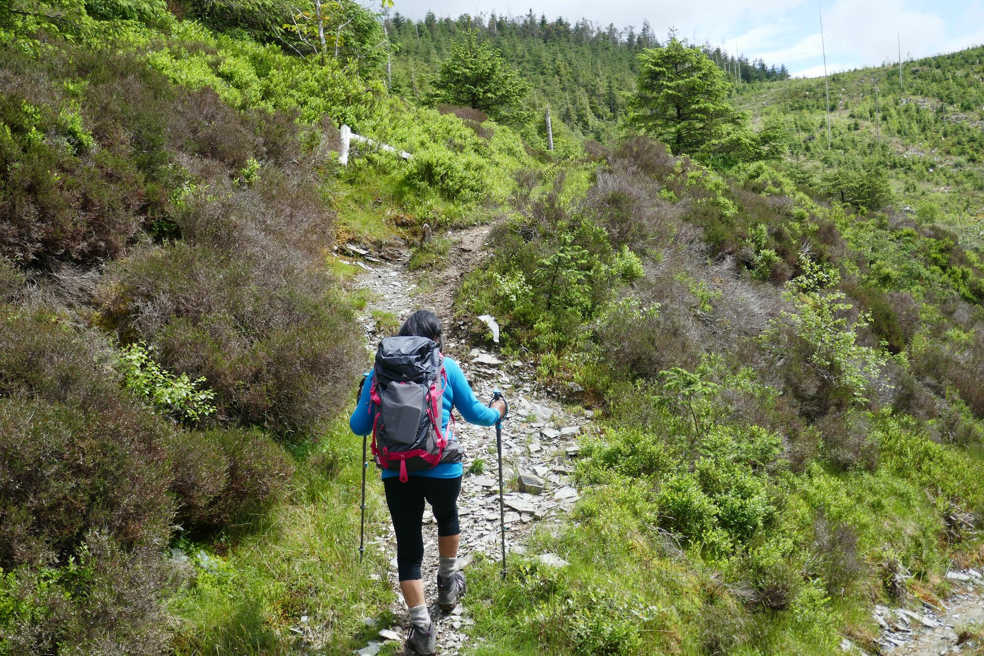
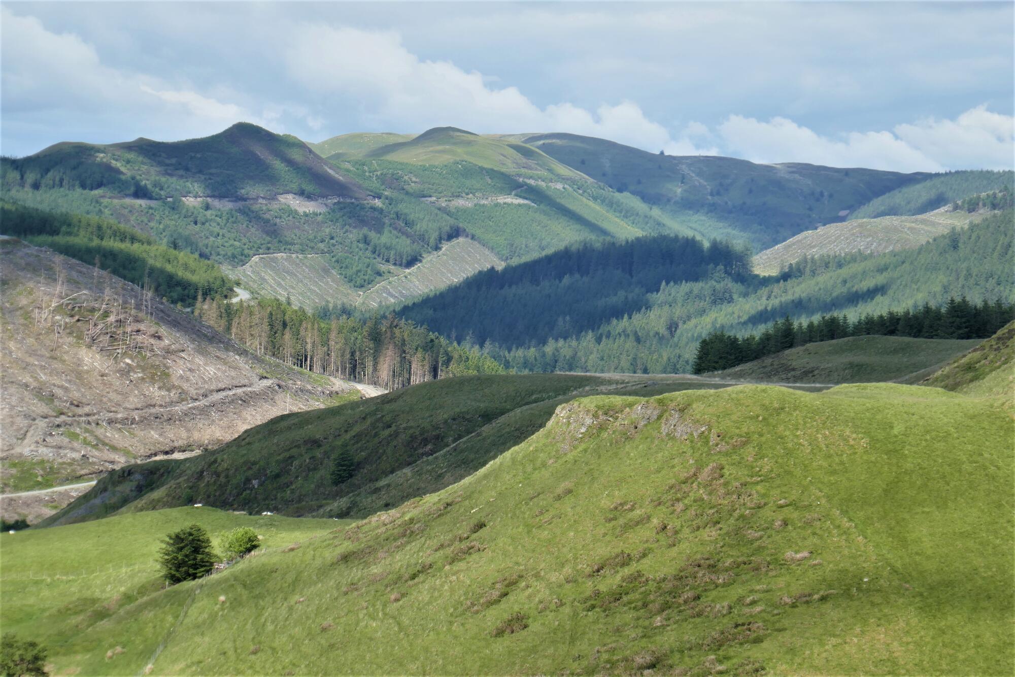
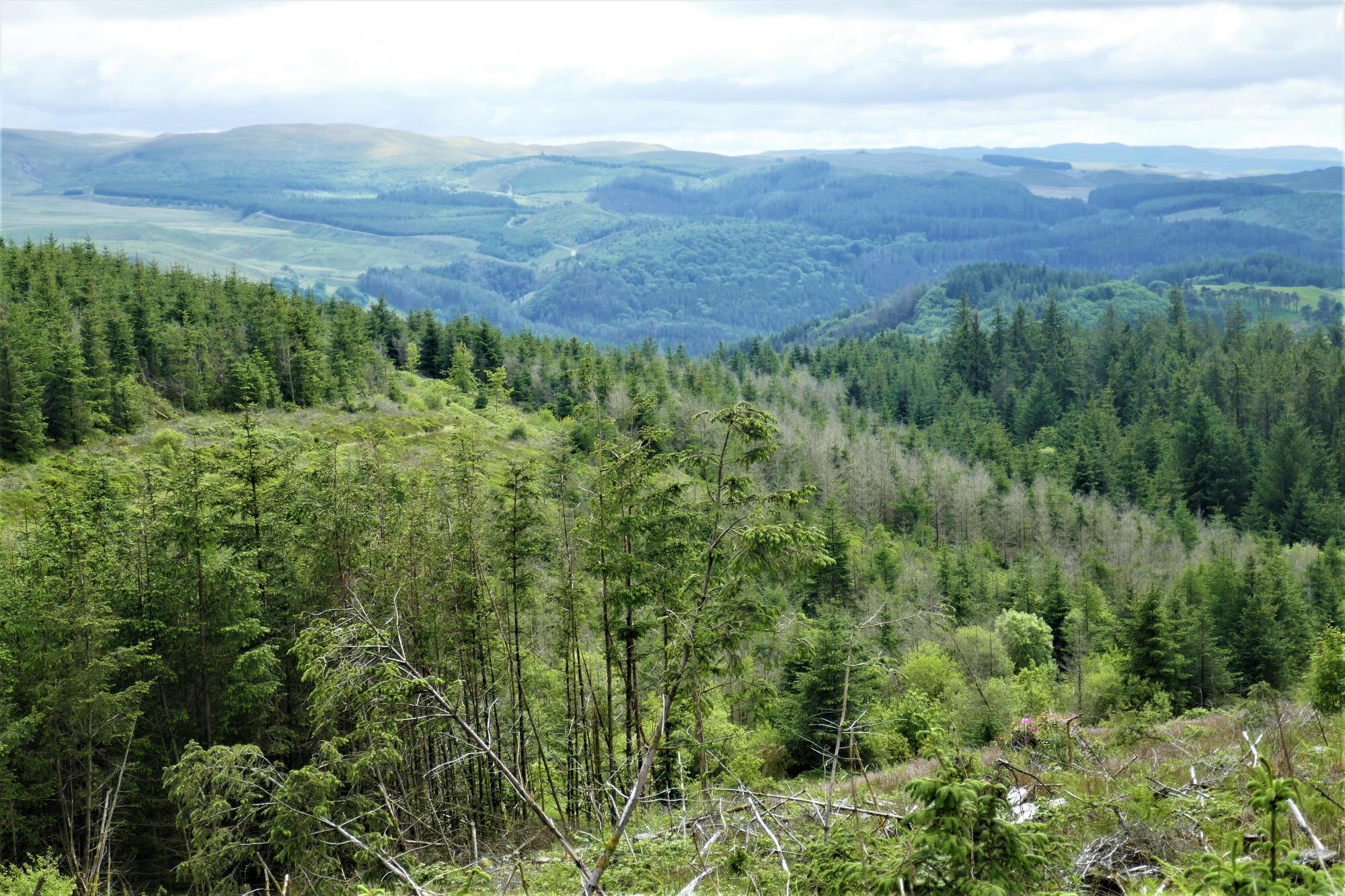
But then a short descent brings you down to a wide smooth forestry track and a sudden wonderful view south towards the hills around Cwmystwyth, and beyond.
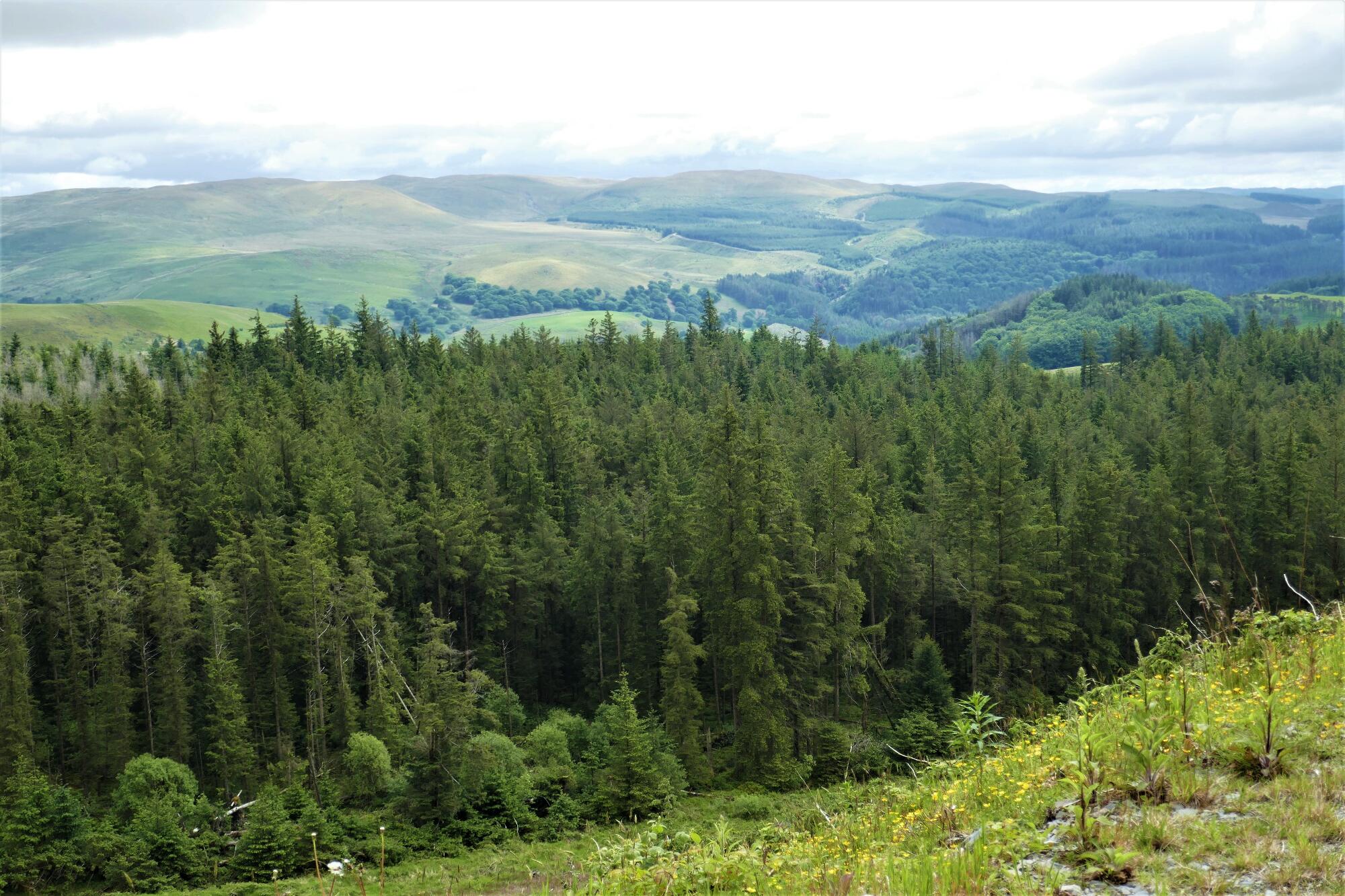
The rest of the walk more than makes up for the slightly painful ascent from the Mynach Valley… more or less gently downhill all the way!
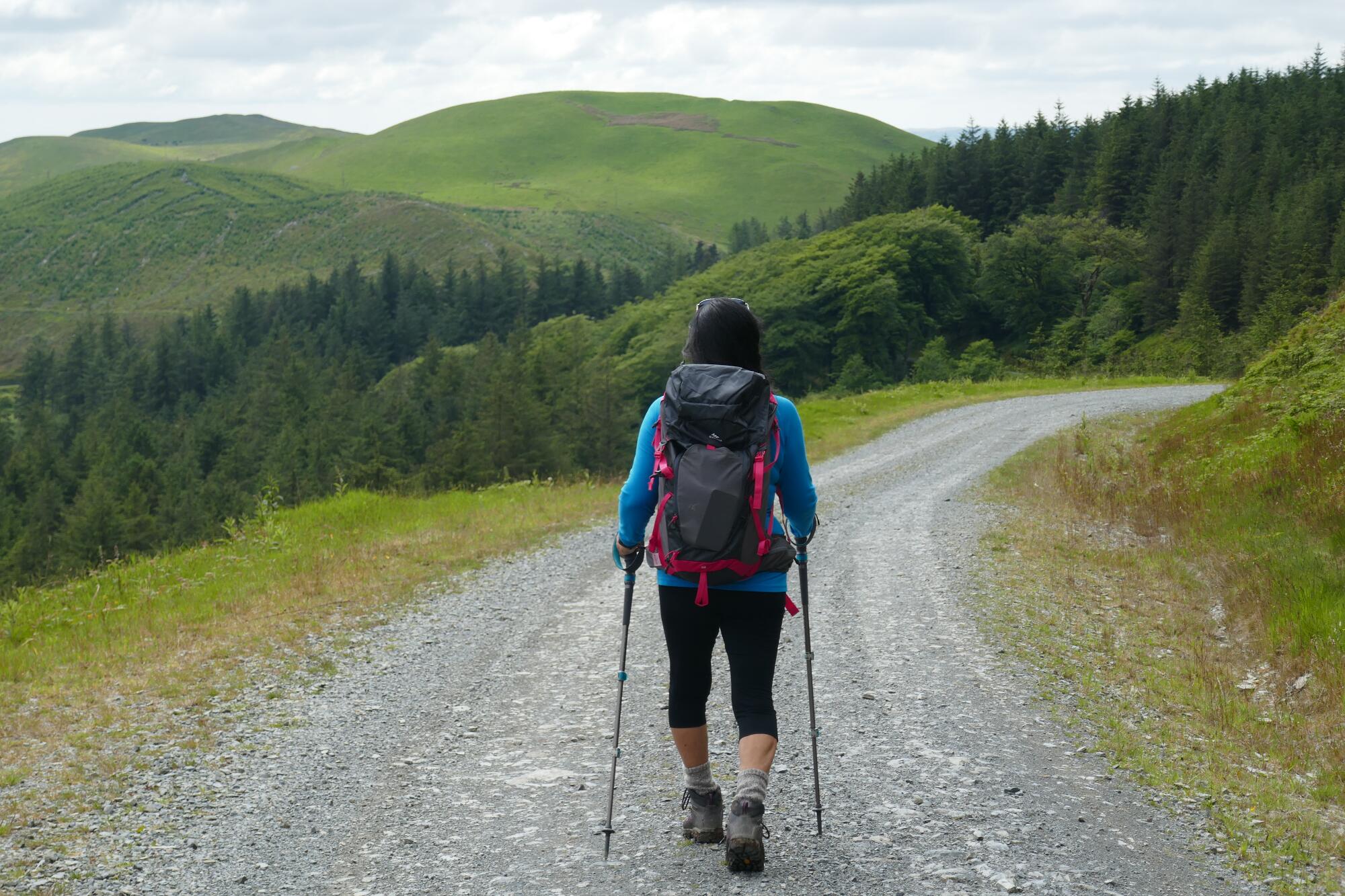
Turn right on the track here, and enjoy the easy walking with wonderful views for about 1.5km until you reach the car park, information board, and Y Bwa (The Arch). Natural Resources Wales have delineated several lovely short walks here, with colour-coded waymarks, and this is well worth a re-visit another day.
Walk to the right of The Arch (as you look in the Devil’s Bridge direction), then cross the B4574 to the metal gate on the other side of the road.
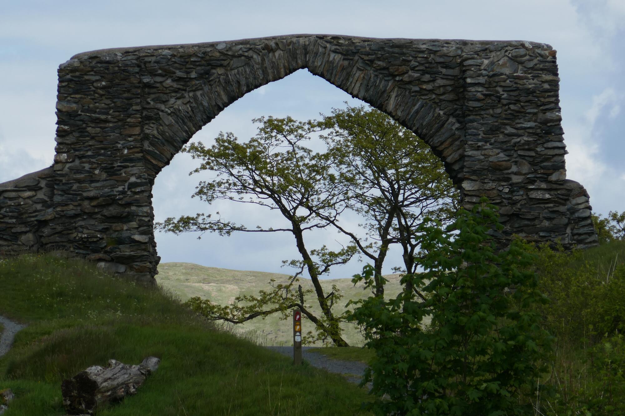
Go through the metal gate… you are now on the ‘coffin road’ along which funeral processions would travel between Cwmystwyth and Devil’s Bridge; today it provides a lovely downhill amble of about 3 km from The Arch to the B4343 above the village.
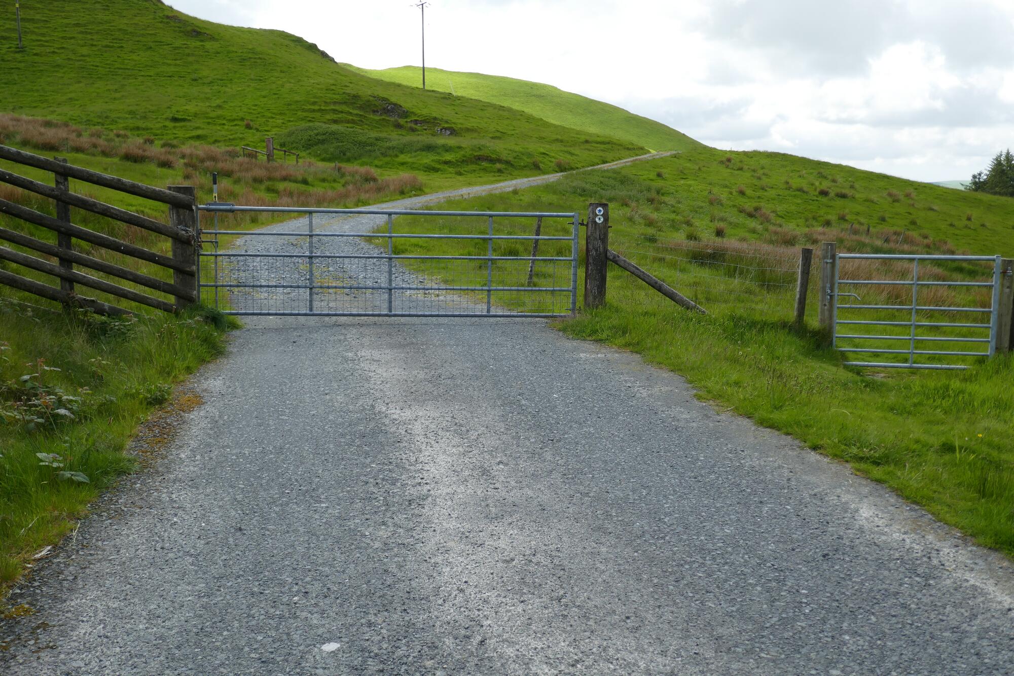
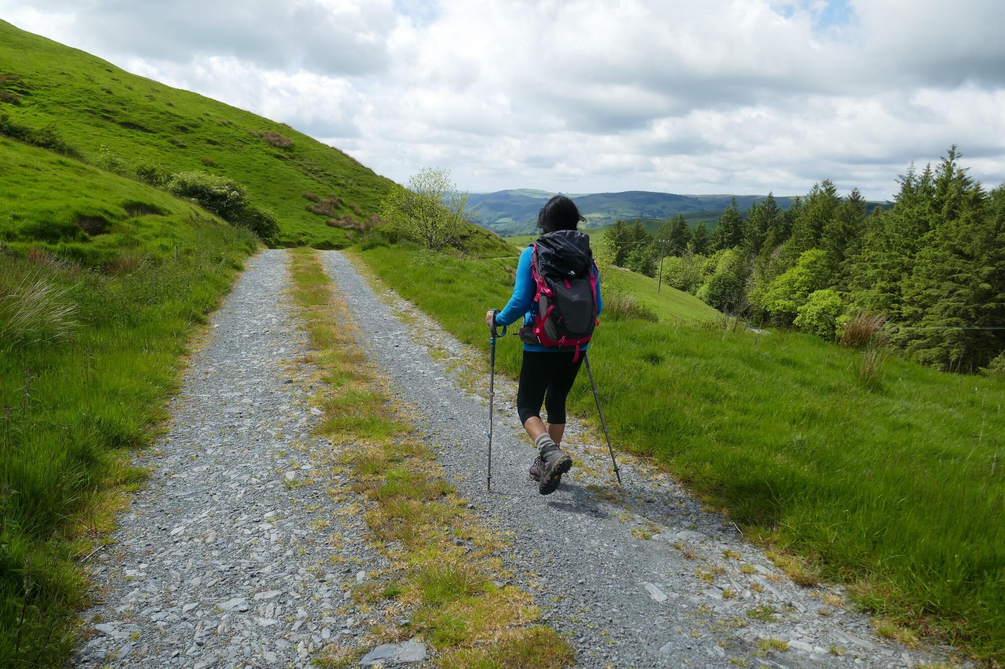
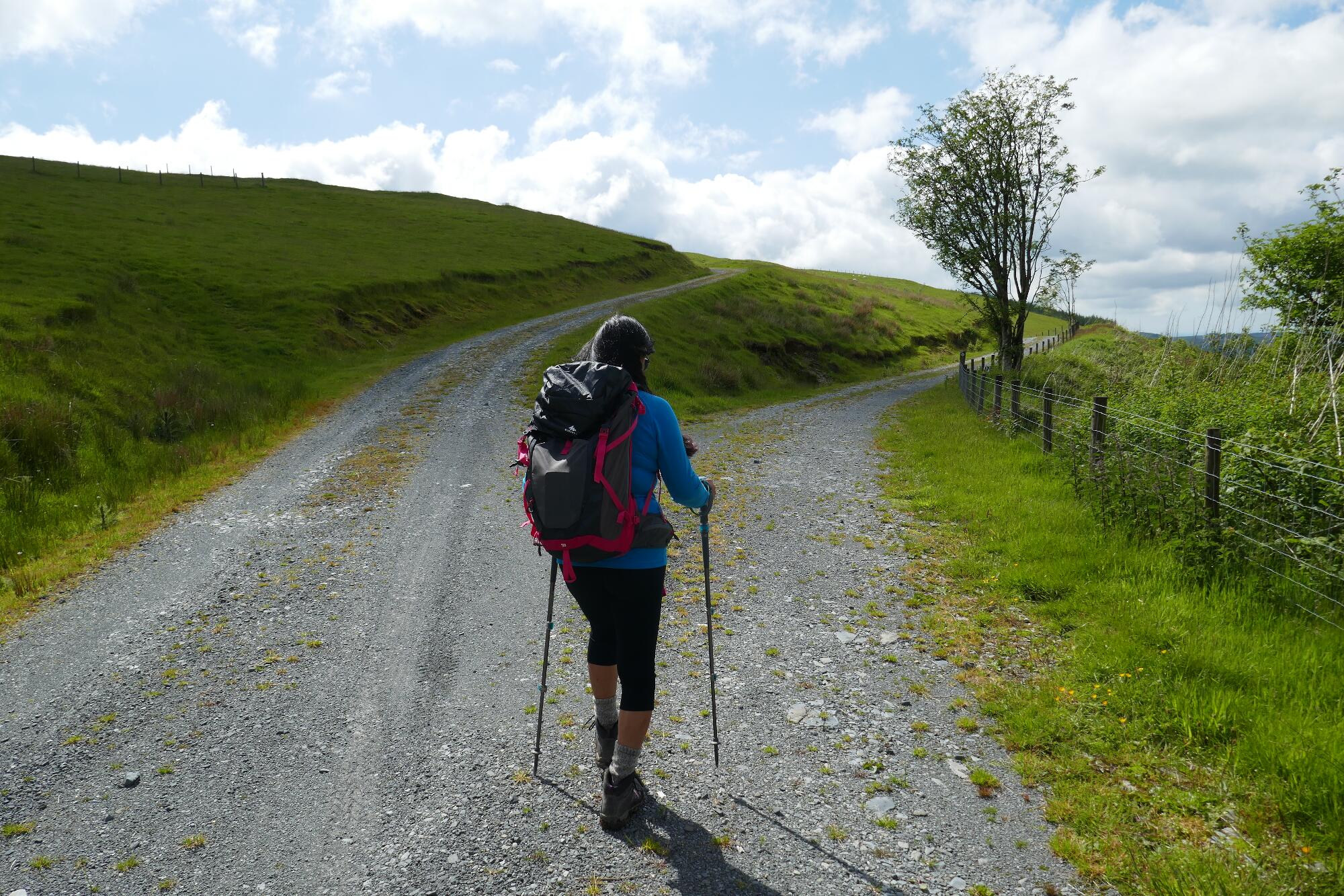
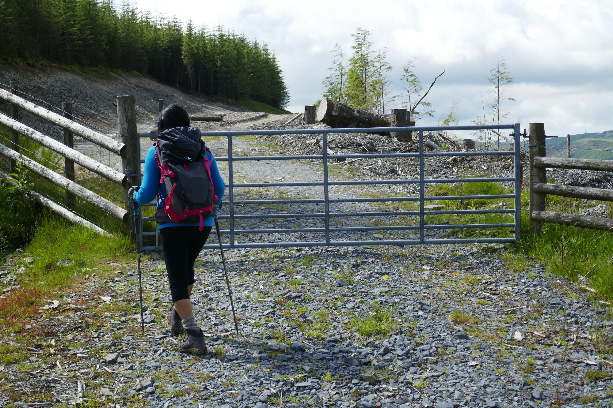
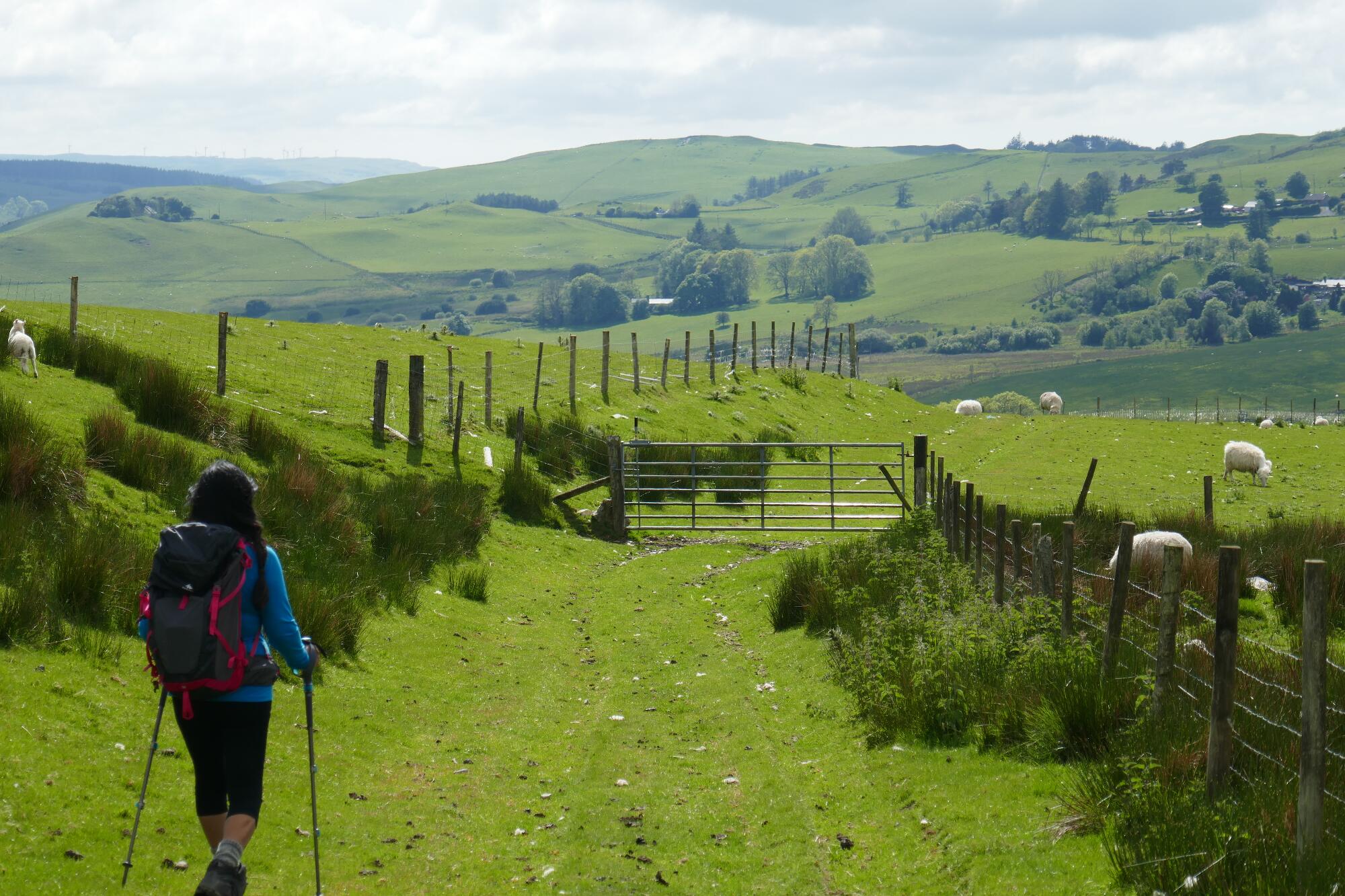
After about ¾ km from The Arch, take the right hand (lower) option where the track forks, keep going straight on through a cleared site, and eventually the track becomes no more than a path along the field edge.
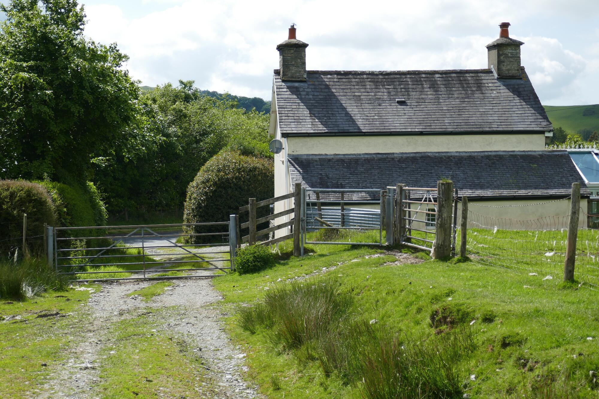
Walk alongside the B4343 for a short distance, then take the right fork for a further 160metres until you get to Ysgol Mynach, the village school. Pass in front of the school, then turn sharp right on a bridle track along the back of the playground. Very soon turn off left downhill on a faint path following ‘Cambrian Way’ waymarks, then at the bottom of the hill through onto a track which leads down to just below the starting point car park.


Comments (0)