


This walk is a bit of a hidden gem, but best to do in clear weather, because of the excellent views all round from the summits. After a reasonably dry period is much preferable, because of the three fords to cross, and a few unavoidable areas of boggy ground. But you can expect a route mainly on easy, well-defined rough paths, tracks, and a lane, all Public Rights of Way, also some sections ‘across country’ (all Access Land) which can be exhausting. If you lose the route, it is easy to get into very tussocky, boggy, and exhausting ground, not to mention one or two barbed wire fences that can be avoided by following the directions carefully. If it has been wet, the last ‘ford’ at point 13 may require a real wade through the running water of a small river. Of the second two hills, the smaller is the more interesting; Disgwylfa Fach can be considered an optional extra and missed out.
(opens in new tab):
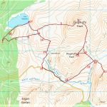
of starting point :
An alternative start to the walk after wet weather, or in winter, is to miss out the slightly boggy sections in points 1 to 3 below and follow the last section (16 to 18) in reverse, taking the track from Llyn Syfydrin. I think the suggested route is preferable if possible.
From Aberystwyth, drive through Penrhyncoch (off the A487), and follow signposts to ‘Pendam’. The small tarmaced mountain road passes the small dam of Llyn Pendam on your right, where there is a turning right to Ponterwyd. Do not take this but head straight on, very soon reaching a hairpin bend. At the bend, go straight ahead onto the gravel lane, in the Llyn Syfydrin direction, almost immediately reaching a fork with a forest track shown below, where you can park without causing an obstruction.
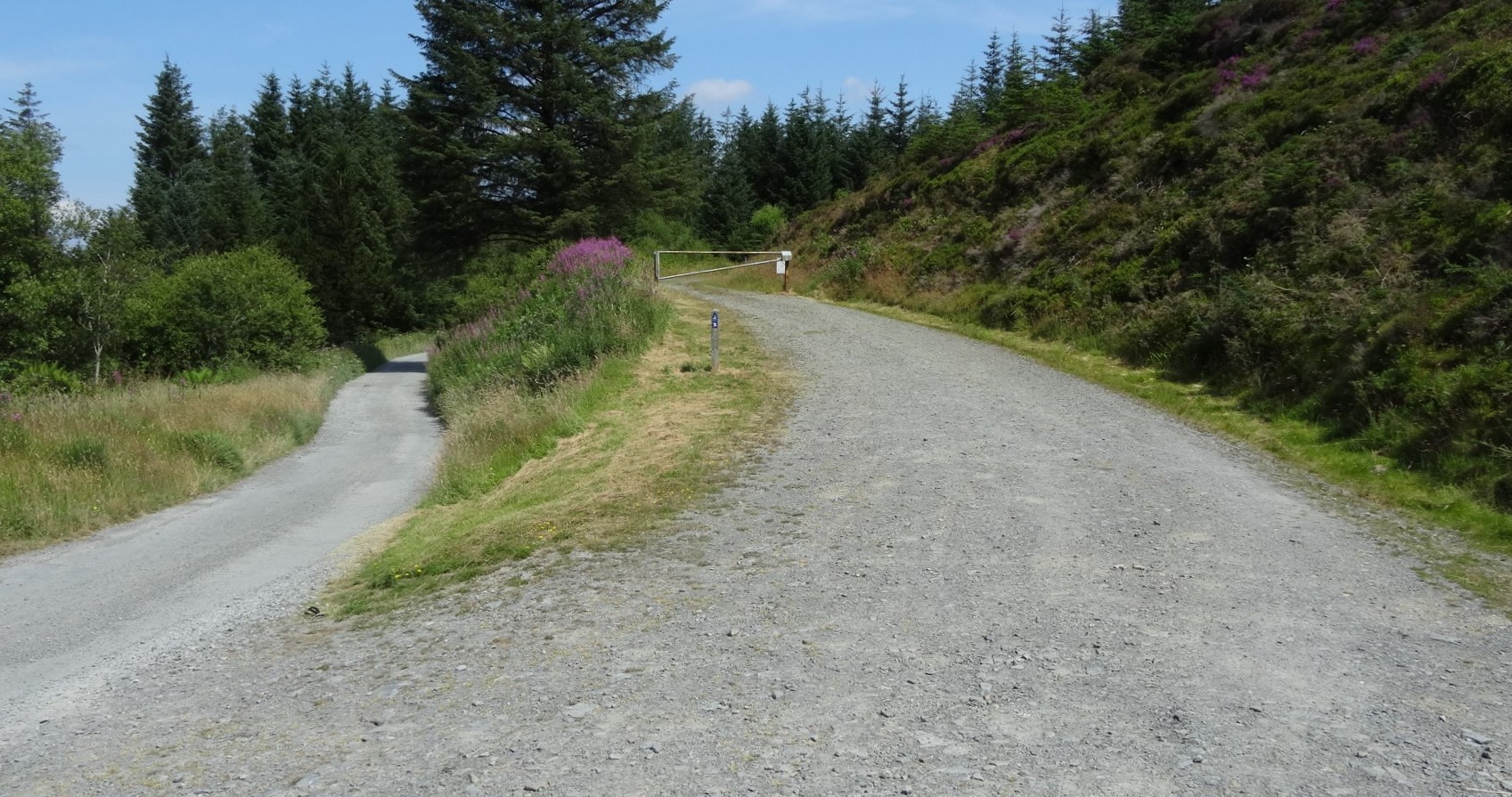
The parking place at point 1
Walk up the forest track, round a right hand then a left hand bend before spotting a well-hidden footpath off to the left on the second right-hand bend. Follow a slightly lumpy and awkward path through the trees, initially dropping downhill, and very soon arriving at a stile on the forest boundary.
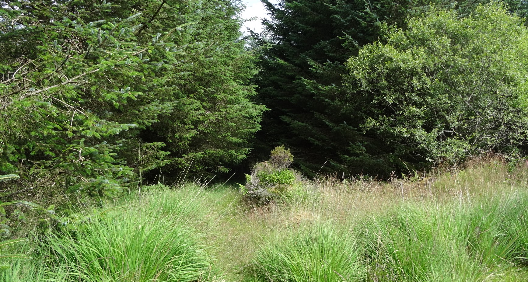
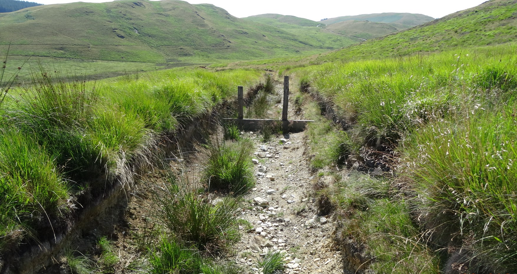
The start of the path off the track, between points 1 and 2
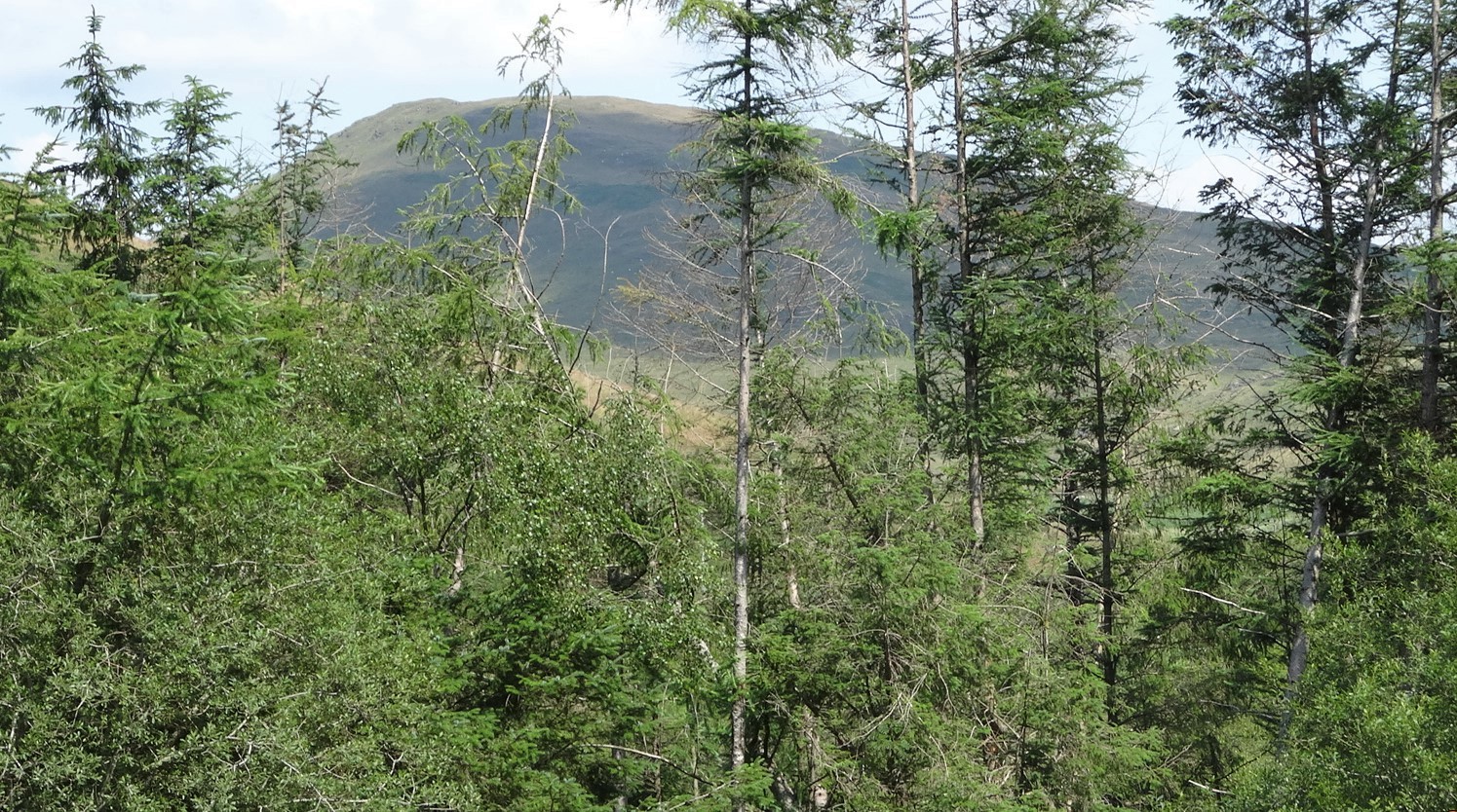
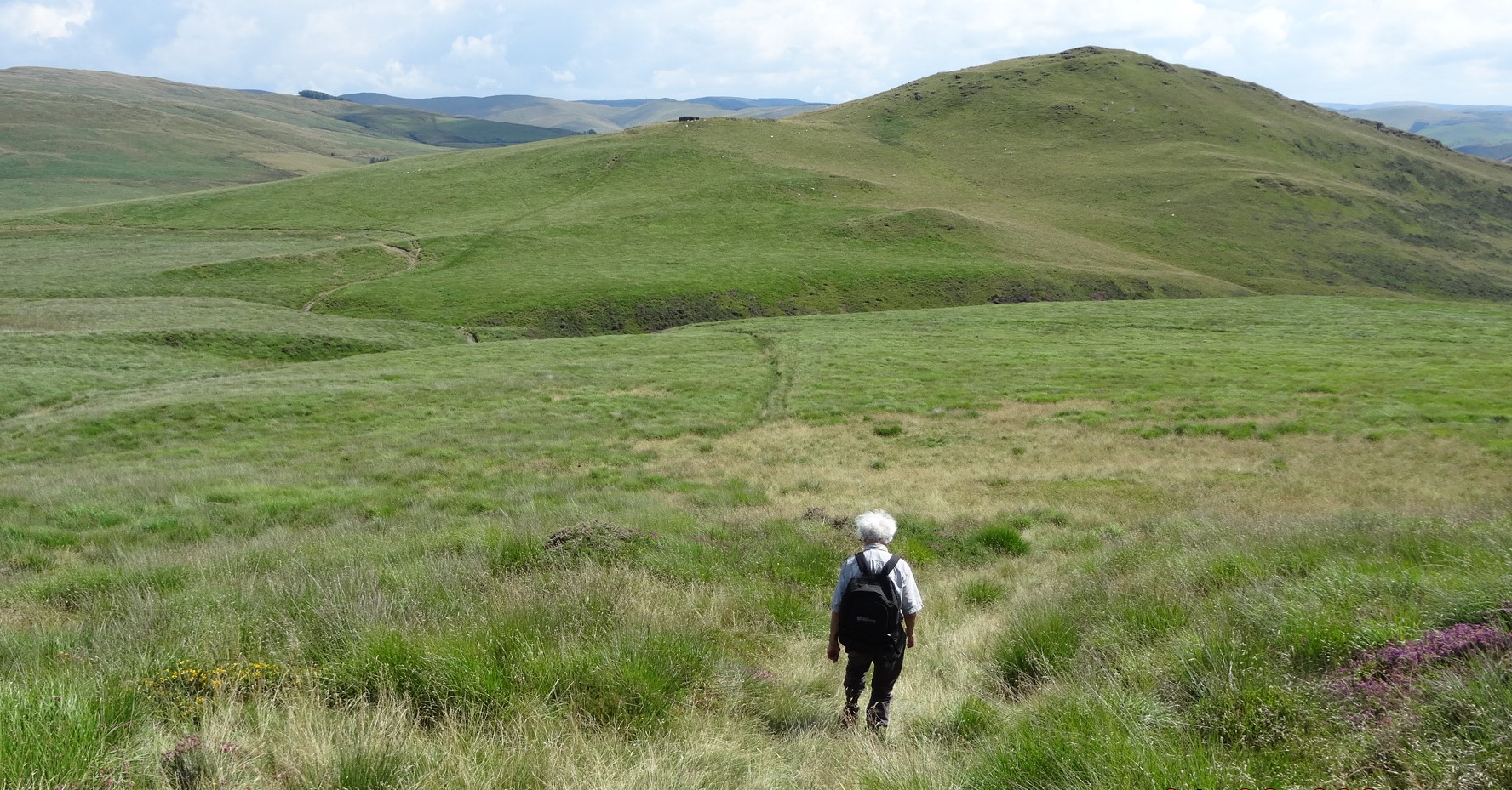
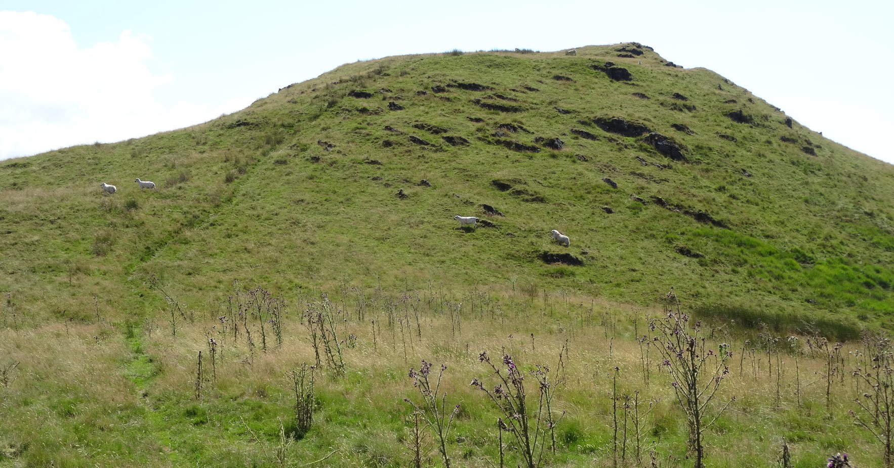
Cross the stile, and admire the slightly majestic view of Disgwylfa Fawr ahead. A faint path leads downhill from here across a pasture, past the stone remains of a building on the right, and dropping down through a boggy area to the stream called Nant Glan-Dwr. This looks difficult to cross, but there is a peaty pathway through the reeds to one side of the rough ford making it easy to jump across.
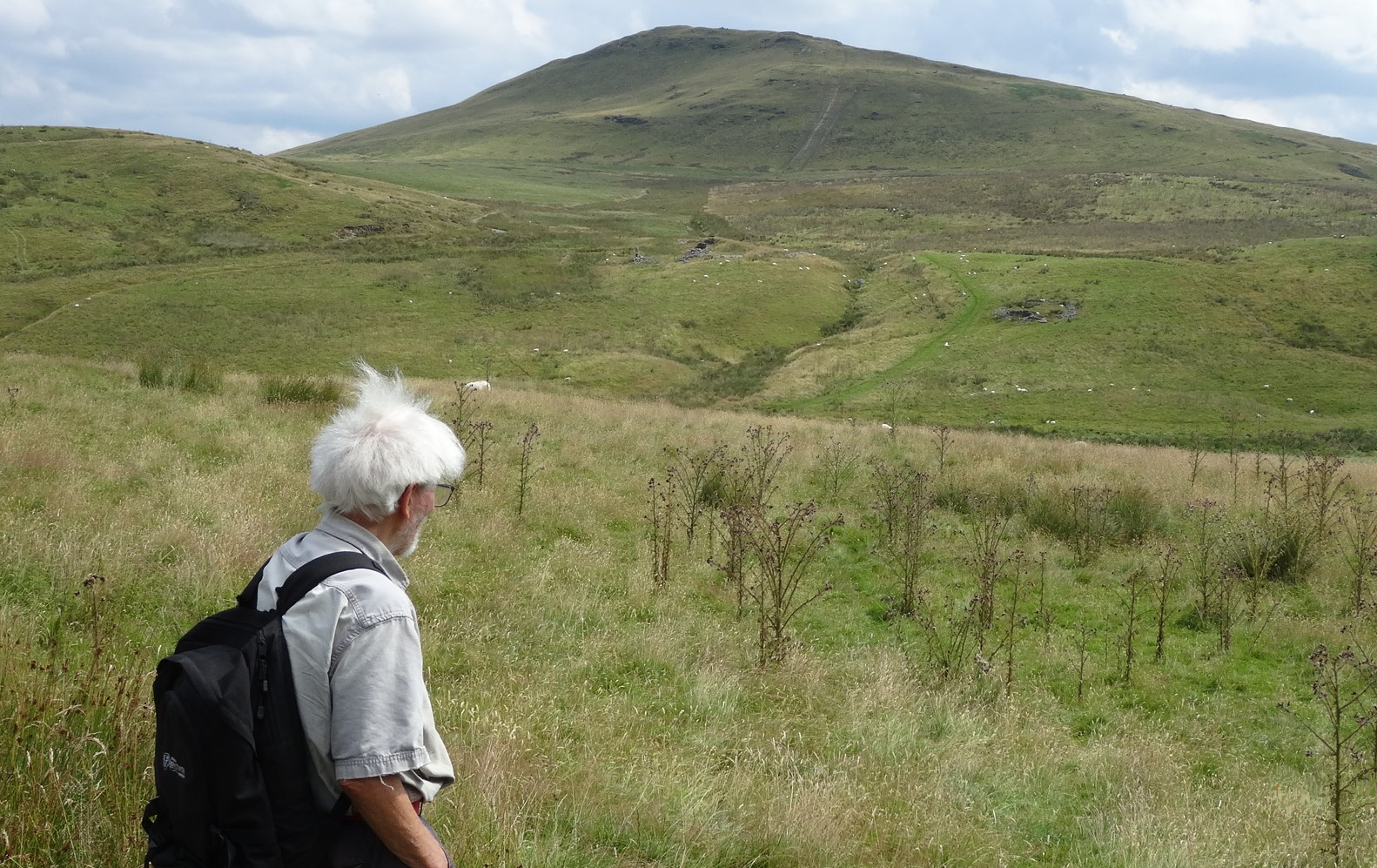
From the stream crossing, go uphill keeping to the right of the shallow gully on a clear path up the steep grassy hillside going close to another ruin, and ending up at the few stone remains of the former hamlet of Syfydrin.
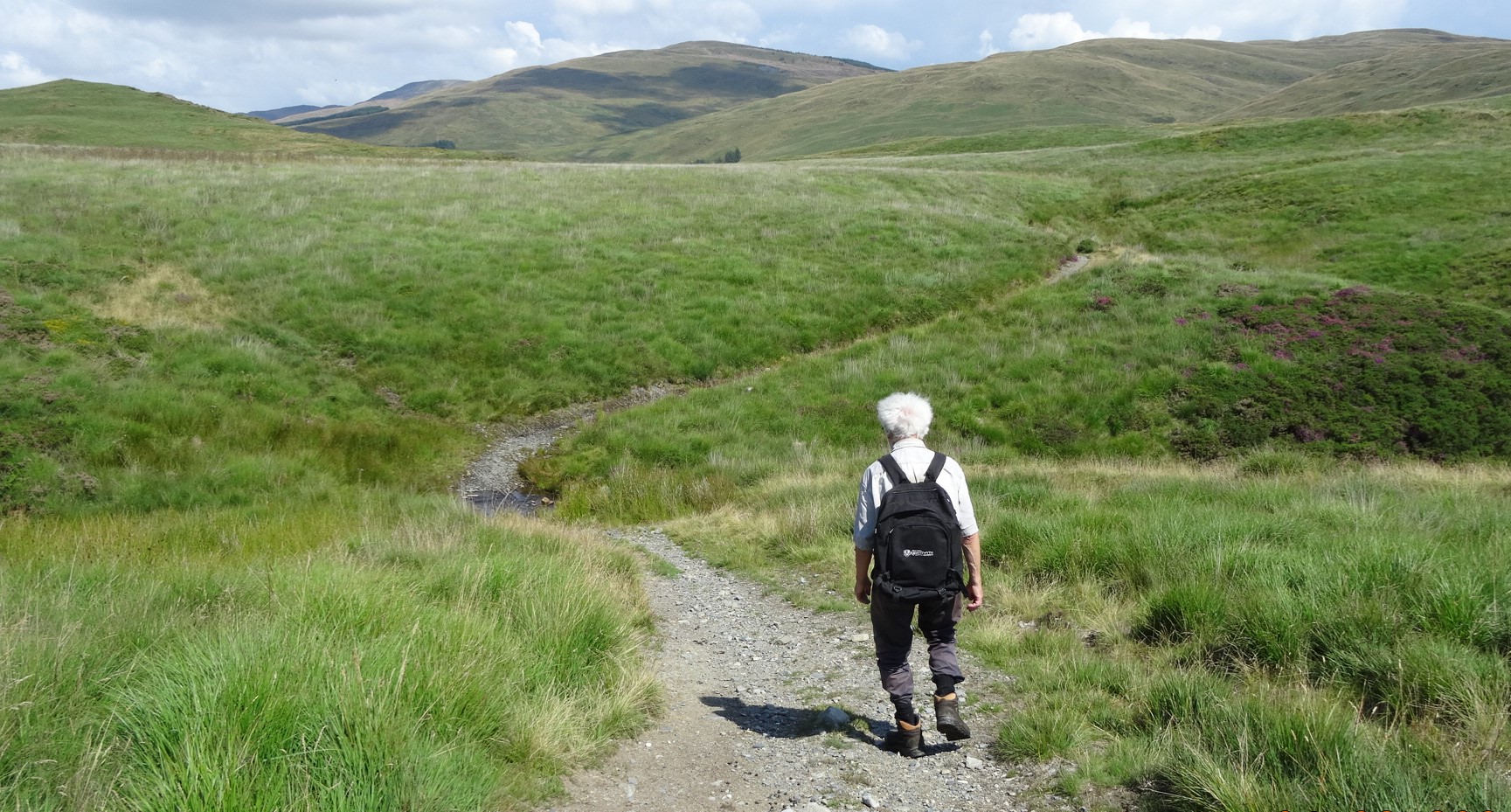
Go left here, across a makeshift bridge, constructed from a lorry’s load bed, and for a short distance straight on into a tussocky section of path. This immediately meets a stony track coming up from Llyn Syfydrin. Go right on this track…which is not shown on the OS map, but leads right up to the base of the hump of Disgwylfa Fawr. Access Land begins here.
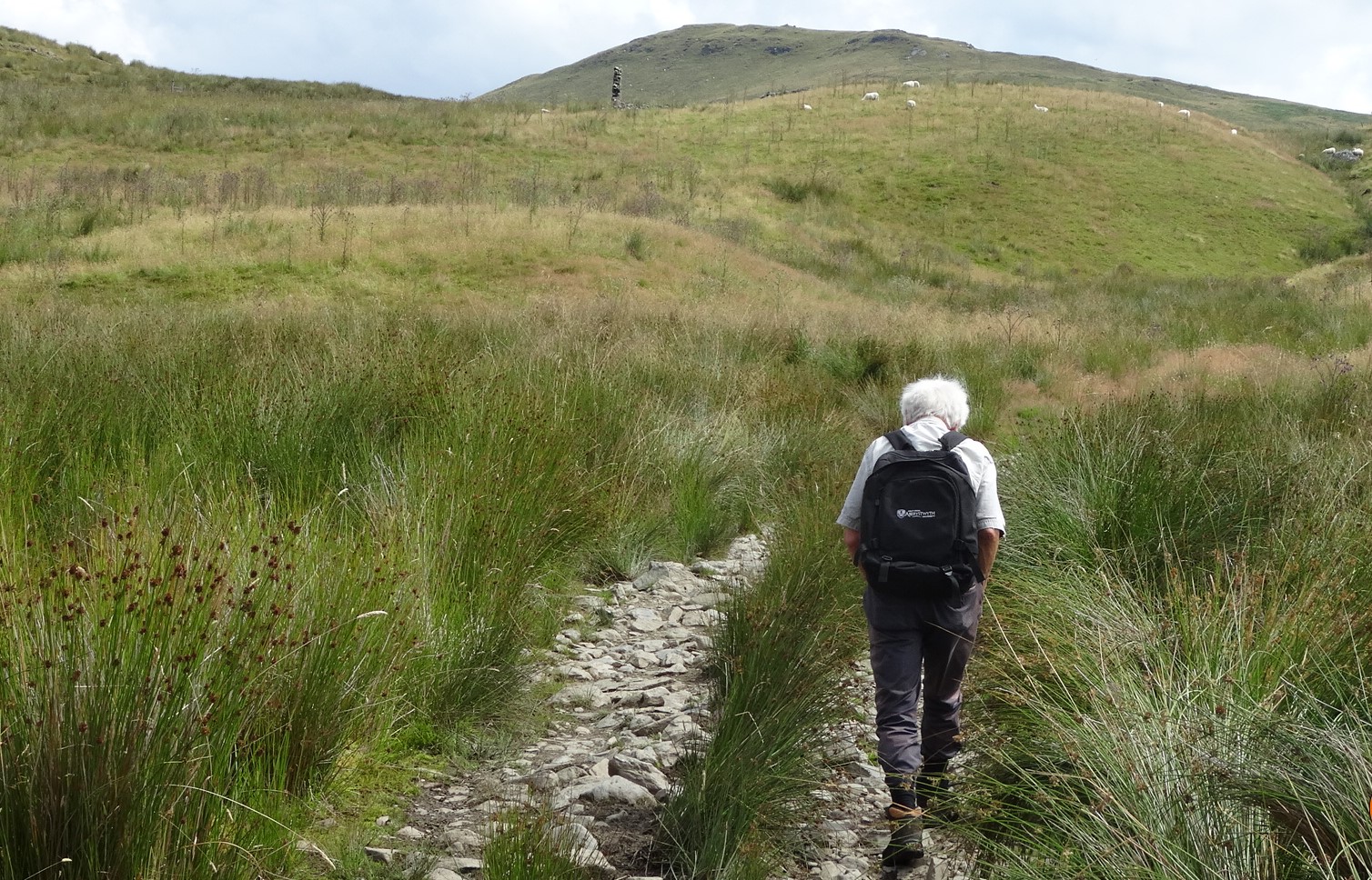
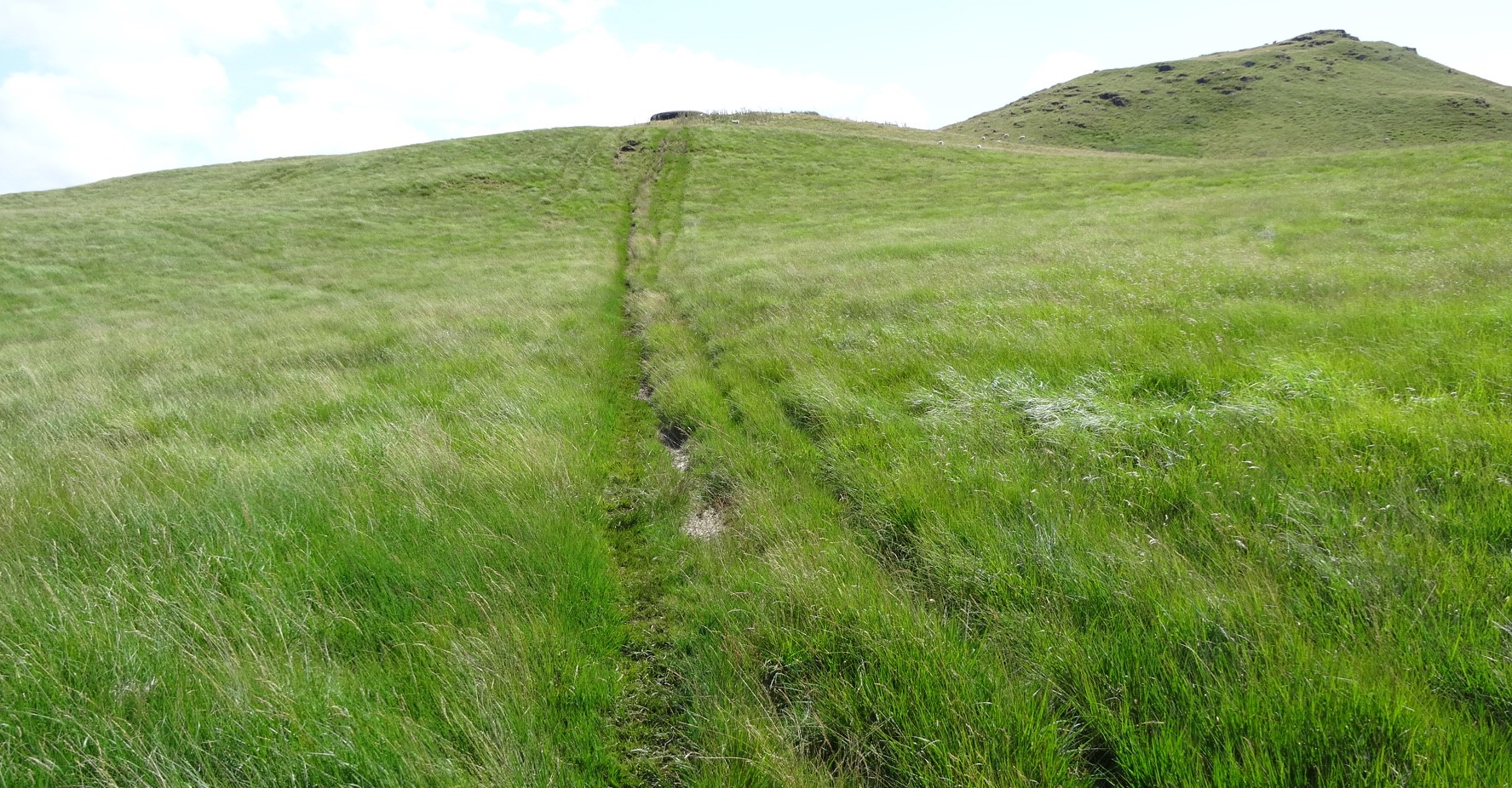
At the end of the track there is an open flat area, where a path crosses, but go straight ahead and ascend the very steep hillside of Disgwylfa Fawr. This has unfortunately been scarred in an unsightly way by ATV’s (All Terrain Vehicles) but is not so seriously eroded to prevent walking. In fact, it helps our progress up this very steep slope. You can climb more easily by taking small zig-zags between the two eroded areas. Be sure to look back at the great view opening out behind as you struggle upwards. Eventually the angle of the slope eases, and from here it is a gentle incline up to the summit ridge of the hill following a faint path.
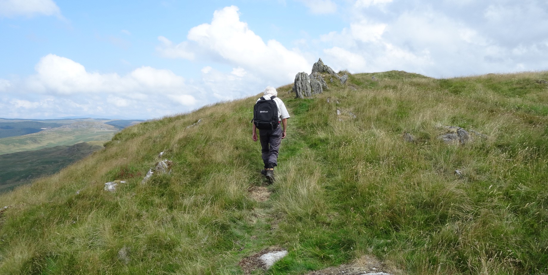
Following the path towards the top of Dysgwylfa Fawr
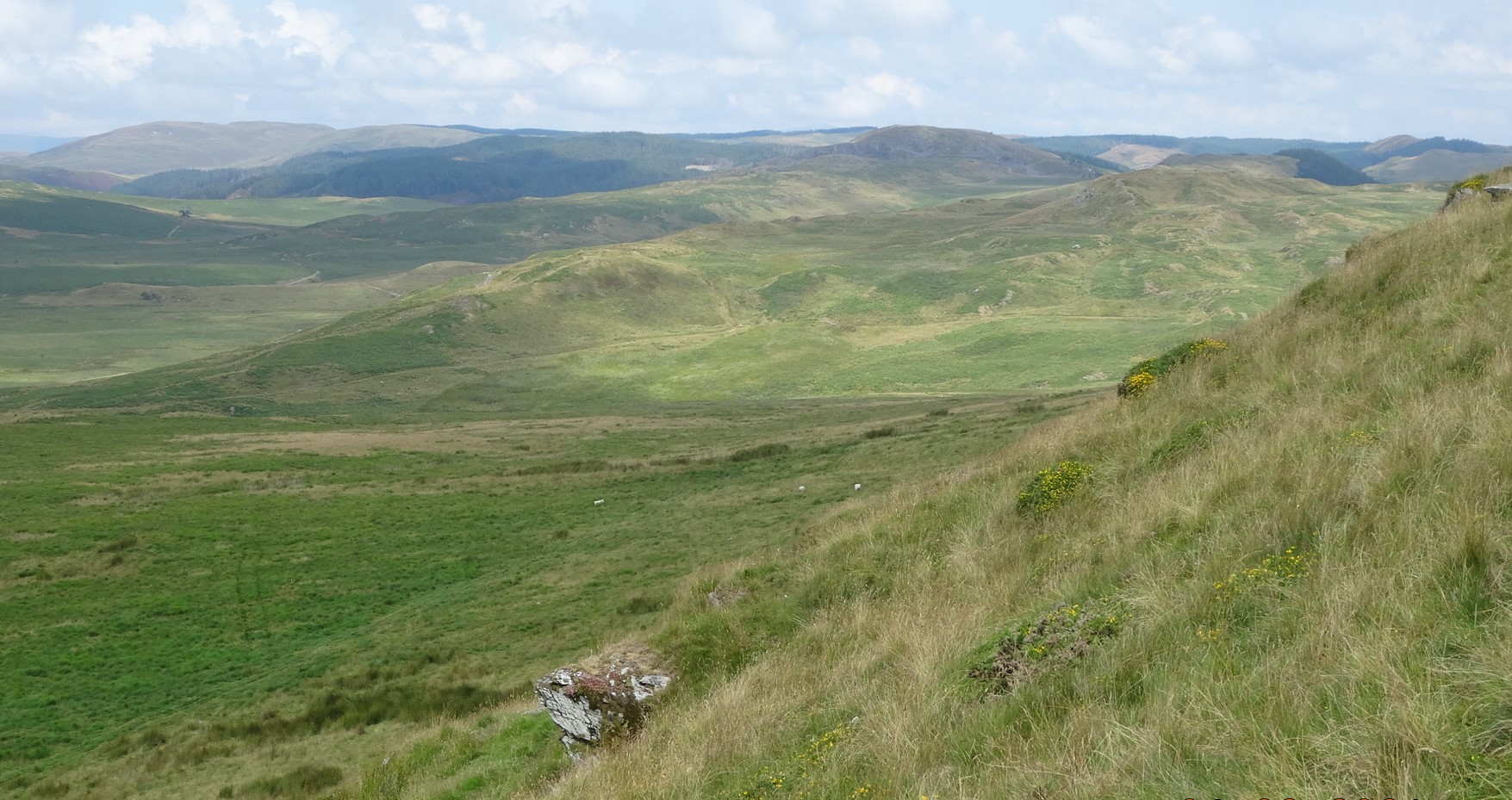
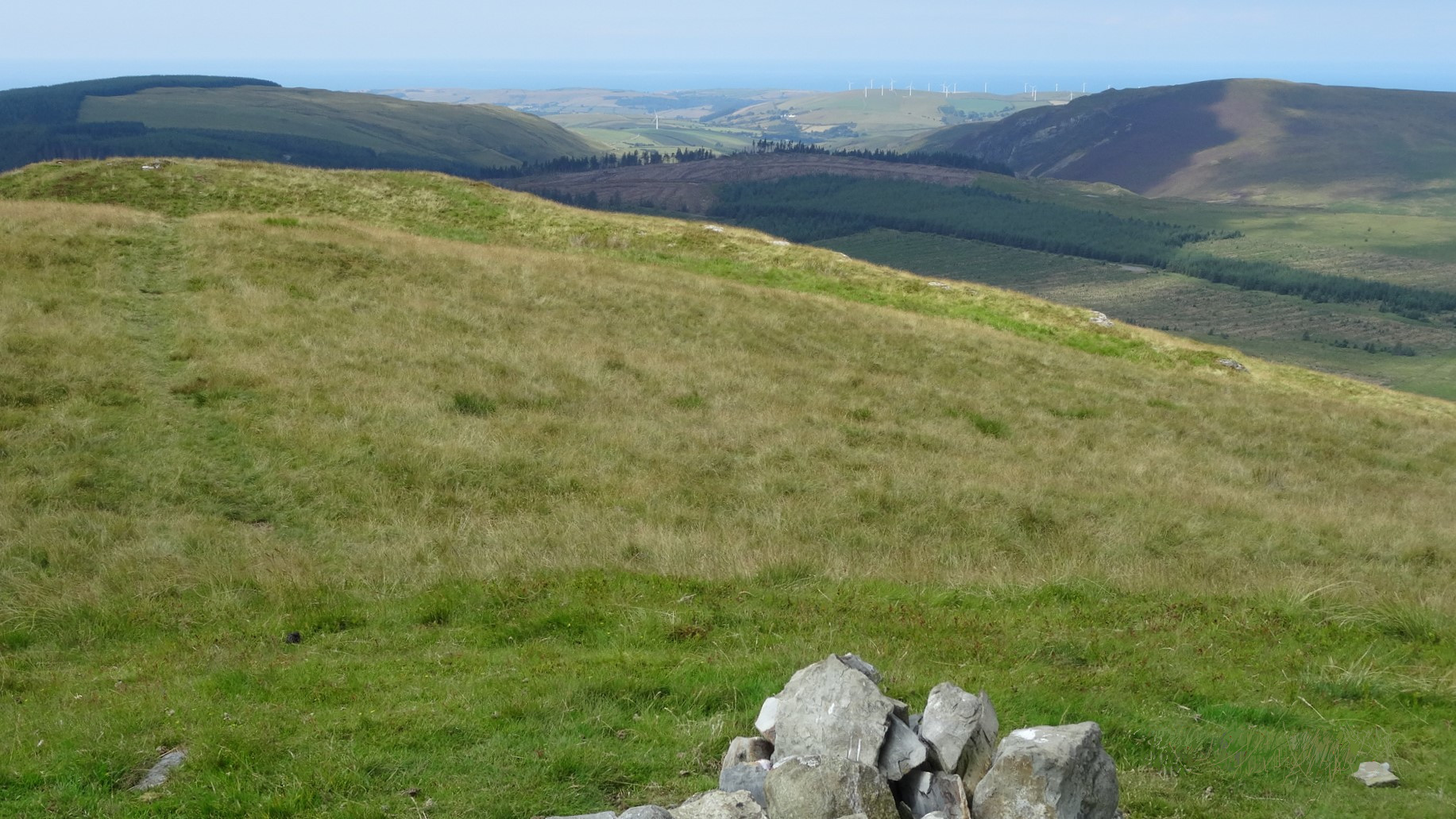
Walk in a north easterly direction, following the path, meeting a few ‘false summits’, eventually arriving at the highest point where there is a small cairn (please add a rock if you can find one!). This is quite a characterful hill, but because of its modest altitude (507m), the view to the north-east is totally dominated by Pumlumon Fawr and Y Garn.
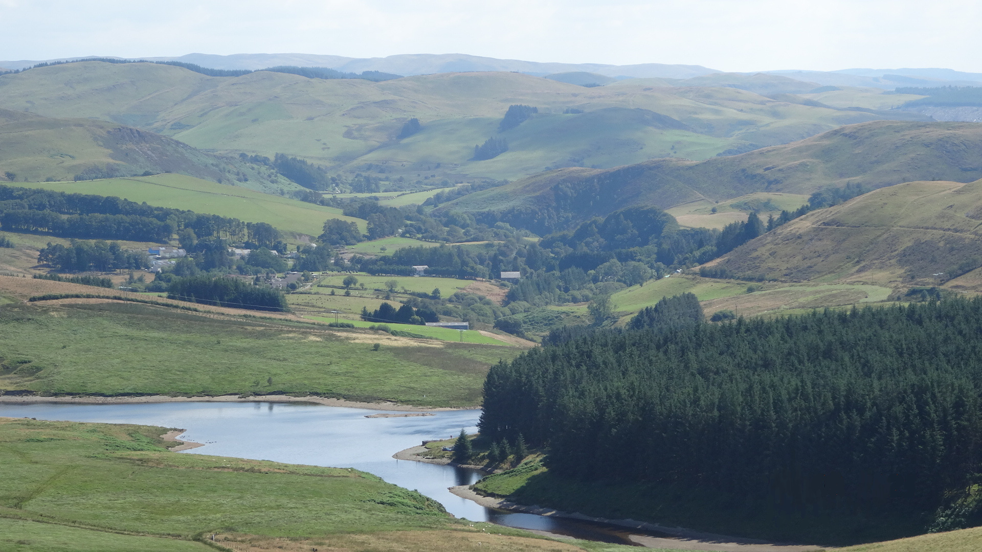
View west from the summit at point 6.
There is only a very faint path for our descent from the summit, but the ground is not too difficult for walking if you do miss it. From the summit, head down on a bearing of approx. 120°, at roughly a right angle to the top ridge of the hill. Fairly soon, spot a wire fence ahead, way below, leading down the small grassy valley. You should find that the faint path gradually curves round to the right, ending up heading roughly south, keeping the line of the fence well over to your left. As you descend, you should be getting gradually closer to the fence, and aim for the point where there is a change in direction, or ‘corner’ of the fence, and a small gate, difficult to see. The gate is surrounded by a patch of very boggy reed-bed which from a distance appears darker than the surrounding areas. This is point 7 on the map. In bad visibility, a direct bearing of about 160° from the summit gets you reliably to the gate in the fence, but over more difficult ground.
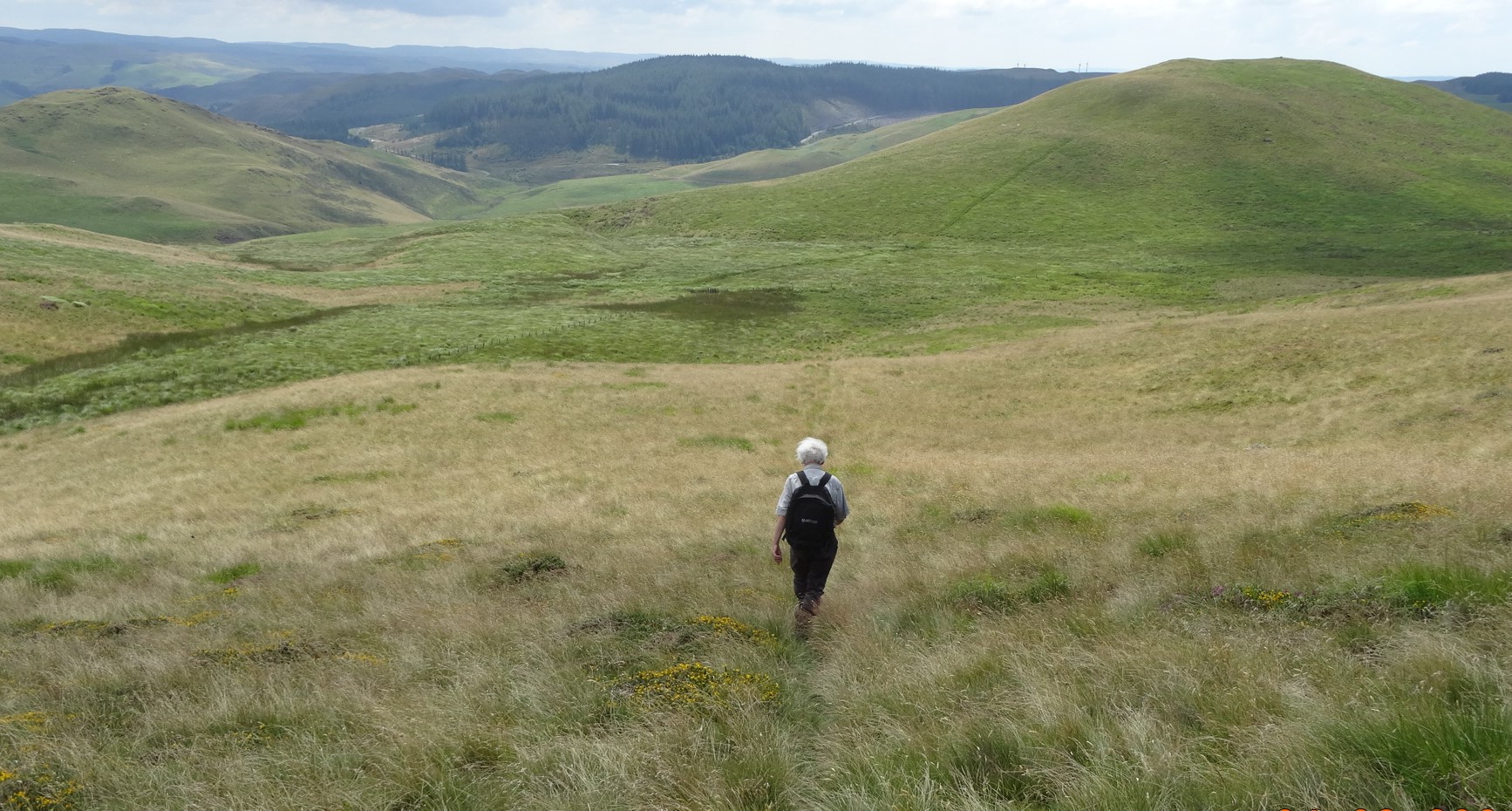
Heading down towards the gate at point 7 (NB the darker area of boggy ground)
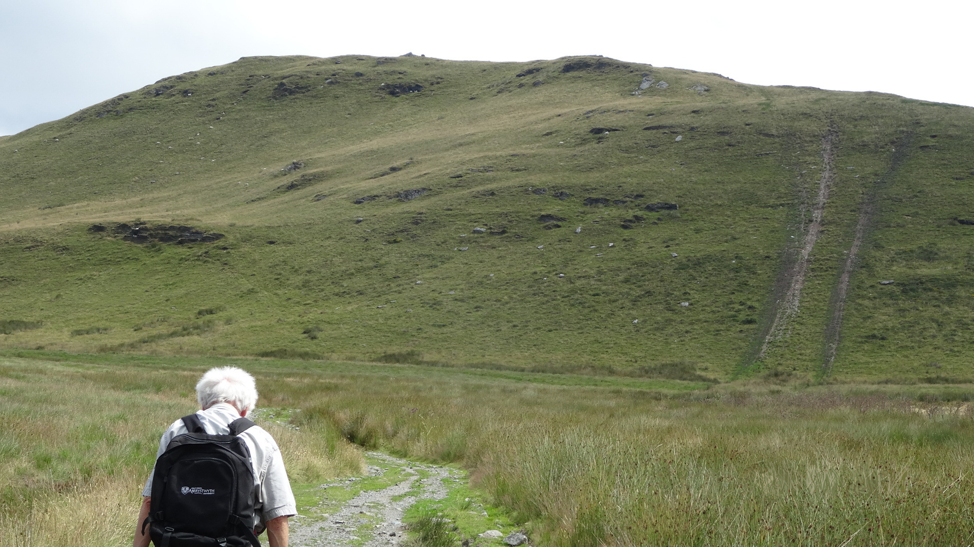
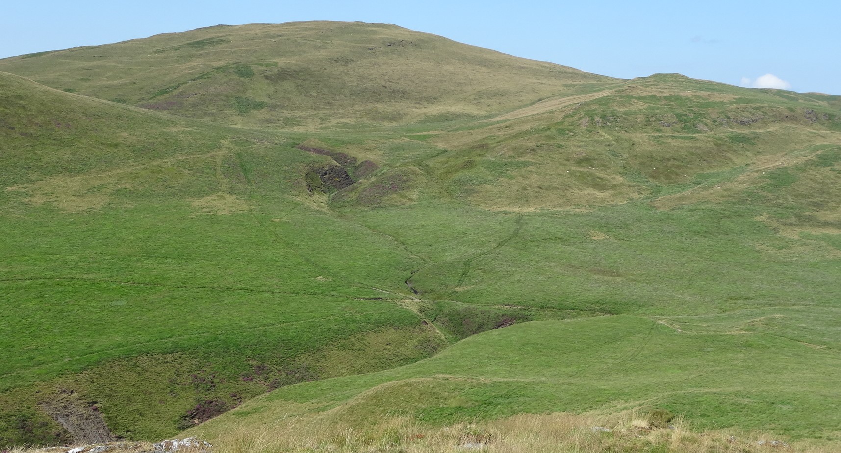
All around the gate are pools of water and large grassy tussocks, and you will need to devise your own way through. From the gate, find and follow the clear path you can see going directly towards the summit of Disgwylfa Fach, the green mound ahead of you. At this point, there is the option to miss out Disgwylfa Fach as an objective, depending on how the group is feeling. Of the two remaining peaks, the Dinas hill fort is the more characterful of the two. However, the option to go up leads steeply at first, following the clear path, easing off to find the non-descript highest point unmarked and little visited, at the far end of the grassy ridge. The alternative, missing out this hill, follows the same path up the first part, as if you were climbing the hill, to get you well away from the stream gulley to the left, then branch off leftwards, going down the other side, bearing right somewhat until you hit the rather hidden descending path at point 9 on the map.
From the summit of Disgwylfa Fach, descend diagonally on the grassy steep southeastern side. From here the path to the Dinas hillfort is more easily seen, and a shortcut to it taken to point 9.
The path leads down well to the right of the stream gulley, and eventually meets a well-worn clear track where you turn left, and easily negotiate a couple of fords across Nant Dinas.
The path at about point 9, descenting towards Nant Dinas. Dinas hill fort is ahead
The well-worn track at point 10, with Pumlumon Fawr in the distance.
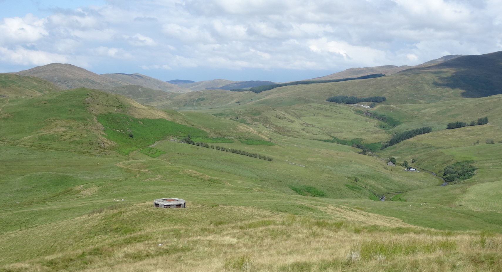
Follow the main path zig-zagging eastwards here, to a point where an obvious fainter path diverges rightwards towards the ridge of the hill above. This path aims for what looks like an old concrete ‘pill box’, but is actually a ventilation and service shaft for the underground system of pipes from Nant-y-moch Reservoir, part of the 1963 Rheidol hydroelectric scheme. Try the echo!
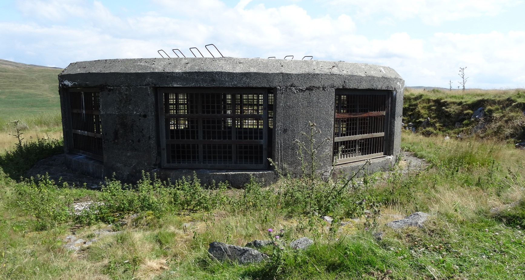
The ventilation shaft at point 11.
The walk up to the craggy little hill’s summit at 386m is worth taking, and then return by the same route past the shaft to the fords at point 10, where there is a chaos of paths and tracks meeting. It is best to take the slightly lower of the two very well-worn tracks (a bridleway) heading down the valley well up to the right of Nant Dinas (not the faint track along the edge of the stream gulley itself).
-
Dinas hill fort from point 11... the clear path fades away near the summit.
View of point 10 where all the paths merge, Disgwylfa Fawr behind, from the descent from Dinas.
A very well worn ‘sunken’ track leads down from that meeting point along the base of Disgwylfa Fach, eventually reaching a wide stream, Nant Glan-dwr again, at the bottom, at point 13. Crossing this stream via its broken ford may need a bit more care than the others after rain, which is when waterproof boots really come into their own… Wading across the ford here may be the only way through onto the lane after wet weather.
The sunken track between points 12 and 13.
Beyond the stream the track meets a tarmac road, where you turn right, and walk for about two thirds of a km along it. Although this single-track mountain road is deserted for much of the year, beware of cars in the summer holiday season.
Spot the start of a farm track on the right of the road, with a finger-signpost on the left indicating a public footpath up to the farm called Wernffrwd. Follow the track heading towards the white-painted farmhouse higher up. The residents here have asked us to divert from the Public Right of Way slightly, to avoid going across their front door: before you get to the farmhouse you will notice on your left a way round the back of a barn… and diagonally uphill to the left to a metal field gate in the fence higher up.
Follow this route, and once through this gate, bear right slightly to ascend the hill directly up the slope, and
Looking back at the diversion away from the harmhouse (on extreme left) via the metal field gate at point 15.
re-join the Public Right of Way. Walk up across the rough thistly grazing land until you reach the line of a raised bank cutting across your direction. There was once a field wall on the earth bank marking a field boundary…a typical and common feature of the Elenydd, but the wall itself has unfortunately long-since disappeared. Here, turn 90o left, keeping the line of the old wall on your right.
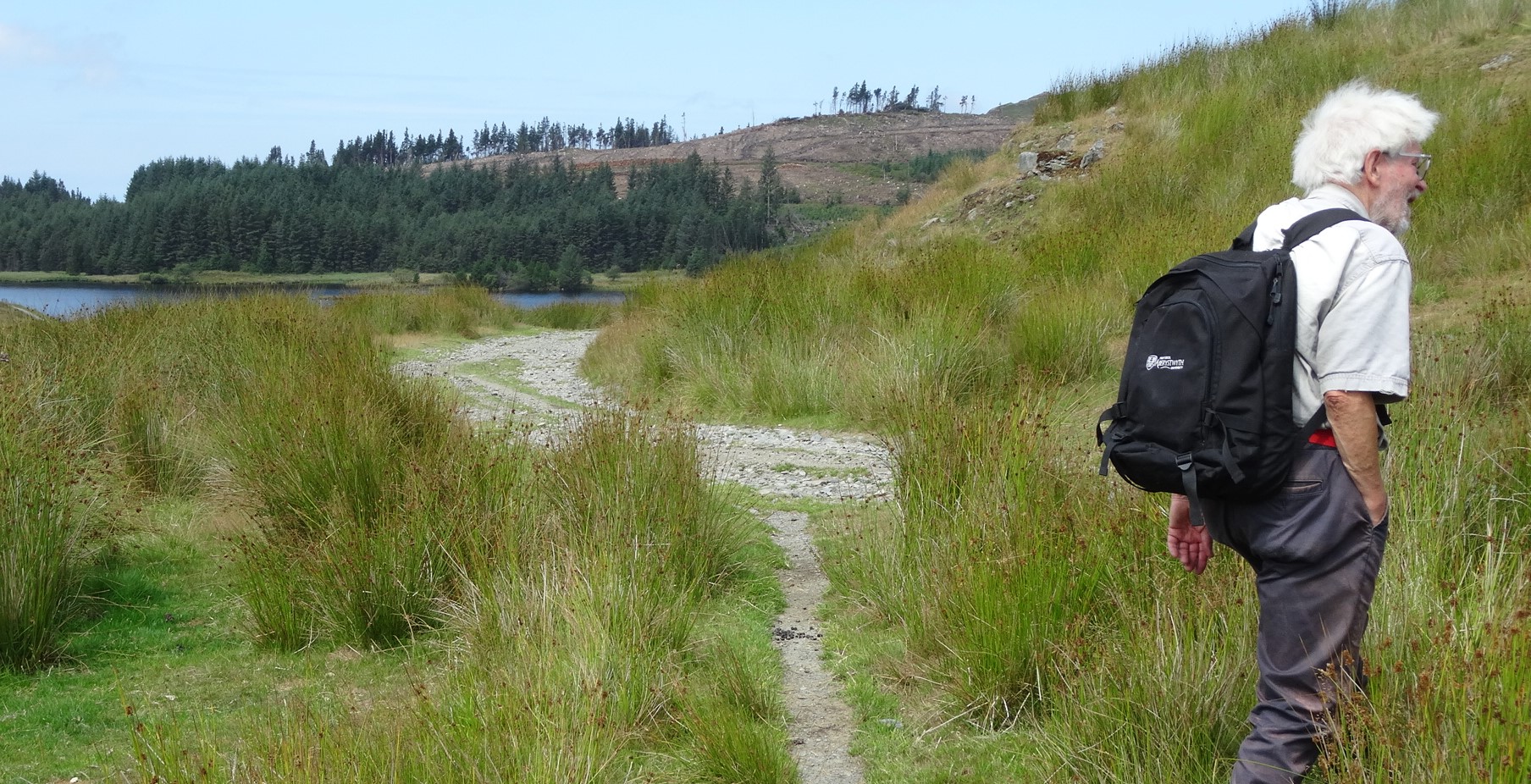
The overgrowth may make this a bit scratchy, but at least the incline has levelled off, and eventually you arrive back at the ruins of Syfydrin and the makeshift bridge at point 4. Go straight ahead as before and join the stony track, but this time turn left on it, heading down towards the enticingly blue glittery waters of Llyn Syfydrin.
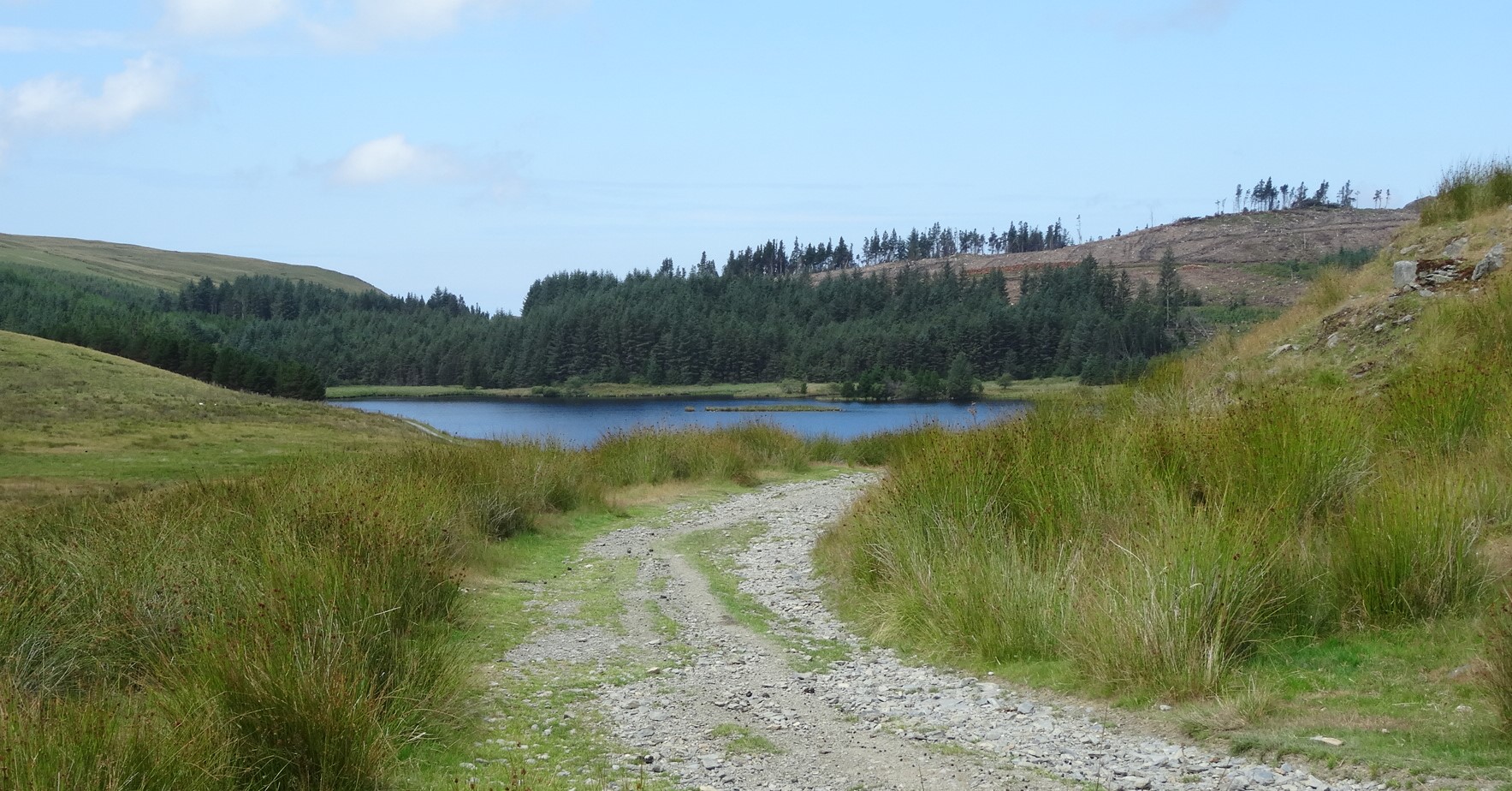
Llyn Syfydrin
There are good places for waterside picnicking here, then turn left across the dam on the grit road which heads uphill gently through the forest.
Follow the lane for about half a km, to arrive back at your starting point.
Romy Shovelton:
Feb 23, 2022 at 07:49 PM
Some great information here. Many thanks
Maurice Kyle:
Feb 25, 2022 at 06:03 PM
Thanks for your encouragement!