


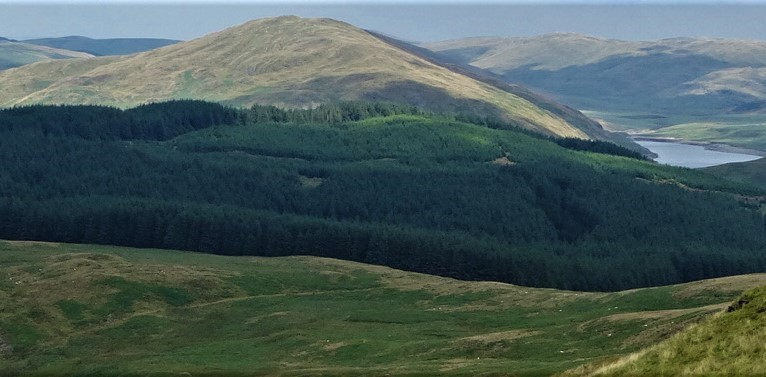
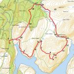
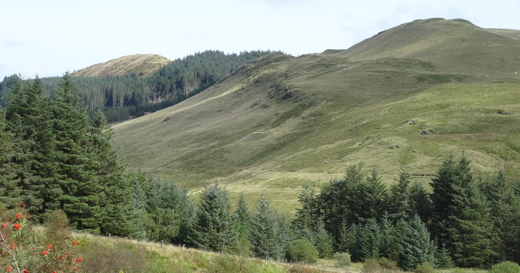
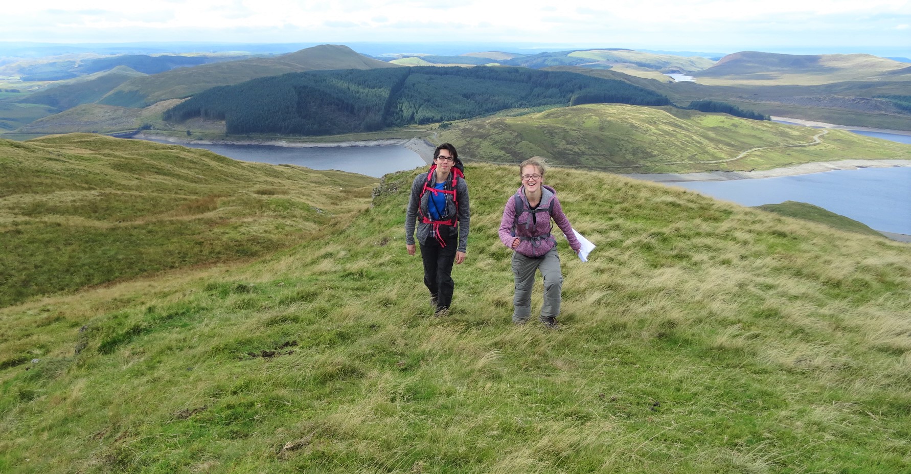
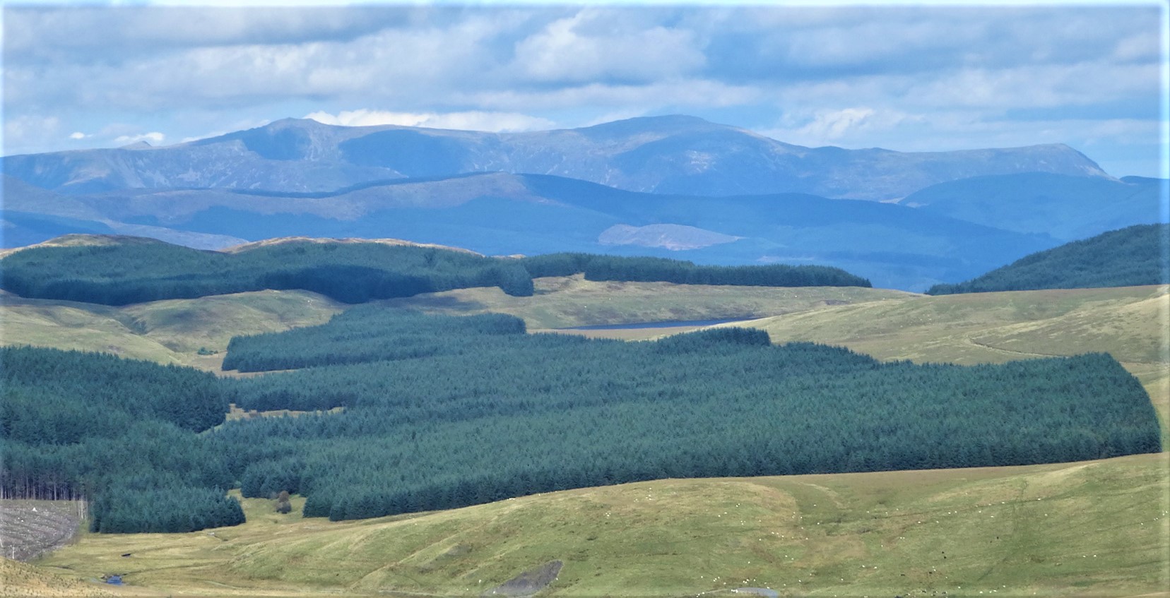
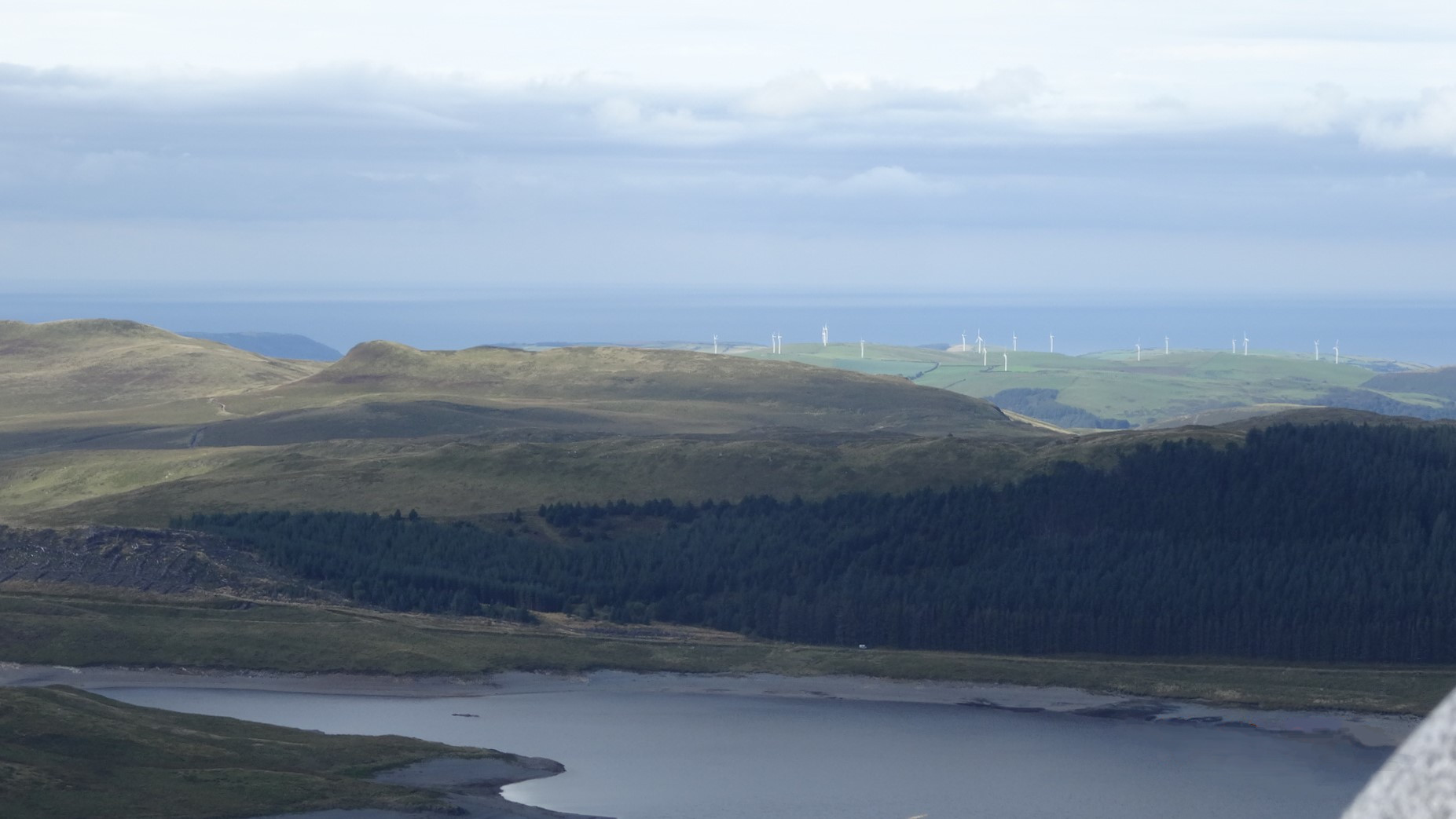
The scenery is wonderful on this walk, the views superb all round from the top of Drosgol, at 550m (1,805ft). This is the most visibly prominent hill in the Nant-y-moch area, apart from Pumlumon Fawr itself, dominating both arms of the lake, and appearing to drop straight down into it, seen from the road up to Maesnant. The whole walk is in ‘Access Land’, and most of it on Public Rights of Way. Do not be put off by the padlocked metal gate at point 3, this seems to be the landowner’s idea of a ‘bluff’, and you are within your legal rights to climb over it, of course avoiding damage if at all possible. Elsewhere on the walk, two other similarly padlocked gates have very basic stiles alongside. Cattle are often grazed in the valley between points 14 and 16, but if required (e.g. if they are with calves and you have a dog with you, or you have an aversion to large animals) they are easily avoided in this very wide open area. This is definitely a walk to do after dry weather, unless you are fine with wading knee-deep across several small rivers! Having said that, the route is not especially wet, much of it on good dry tracks.
(opens in new tab):
of starting point :
To get to the starting point (if you are coming from Aberystwyth) it is best to take the mountain road (signposted Nantymoch/Ponterwyd)from Talybont (on the A487), rather than from Ponterwyd, as it is shorter, arguably more scenic, and quite spectacular! Fork right off the main road at the village green by the side of the twin pubs. Where the houses end, fork right again...but very soon left to avoid the road towards Bontgoch (and Cwm Cyneiniog). The lane becomes narrow and exciting... drive past the small lake called Llyn Nantycagel and in a further 1.5 to 2 km arrive at the northern arm of Nant-y-moch Reservoir, and the start of the walk.
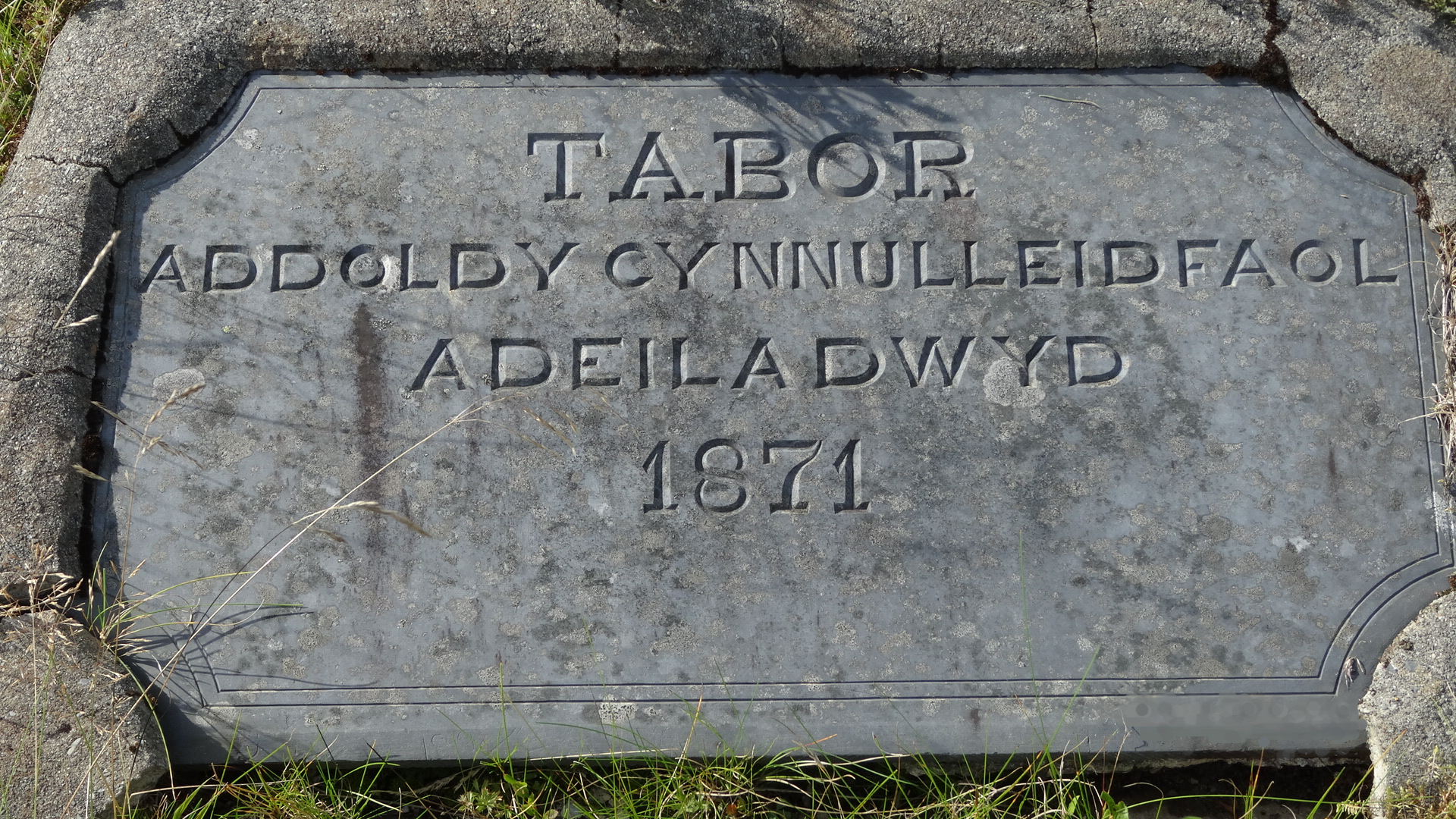
There is a large firm gravelly area here for parking, across the road from a slate plaque, dated 1871, set back from the verge, marked ‘Monument’ on the OS ‘Explorer’ map. Walk north along the road for about 150m to a track turning off to the right.
The track descends fairly sharply after passing through an openable metal gate, and then curves round right to head along the shore of the north-western inlet of Nant-y-moch Reservoir. This is easy, very pleasant walking on a very good, partly grassy level track, until you get to another gate, this time padlocked, as described in the introduction above.
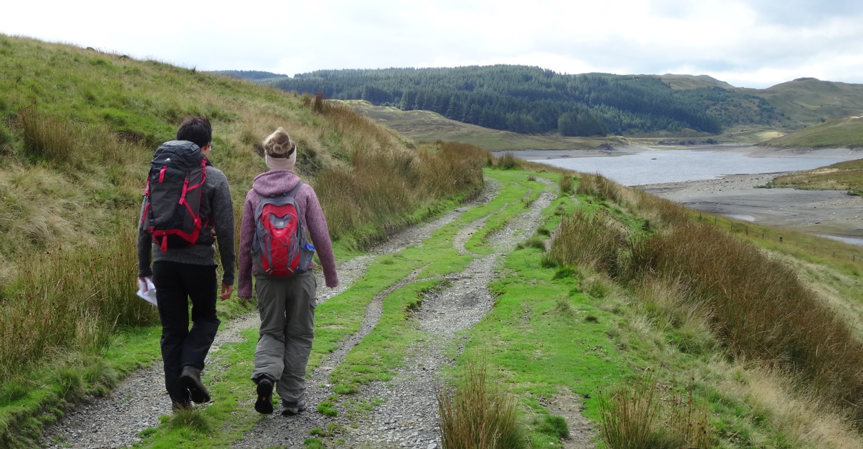
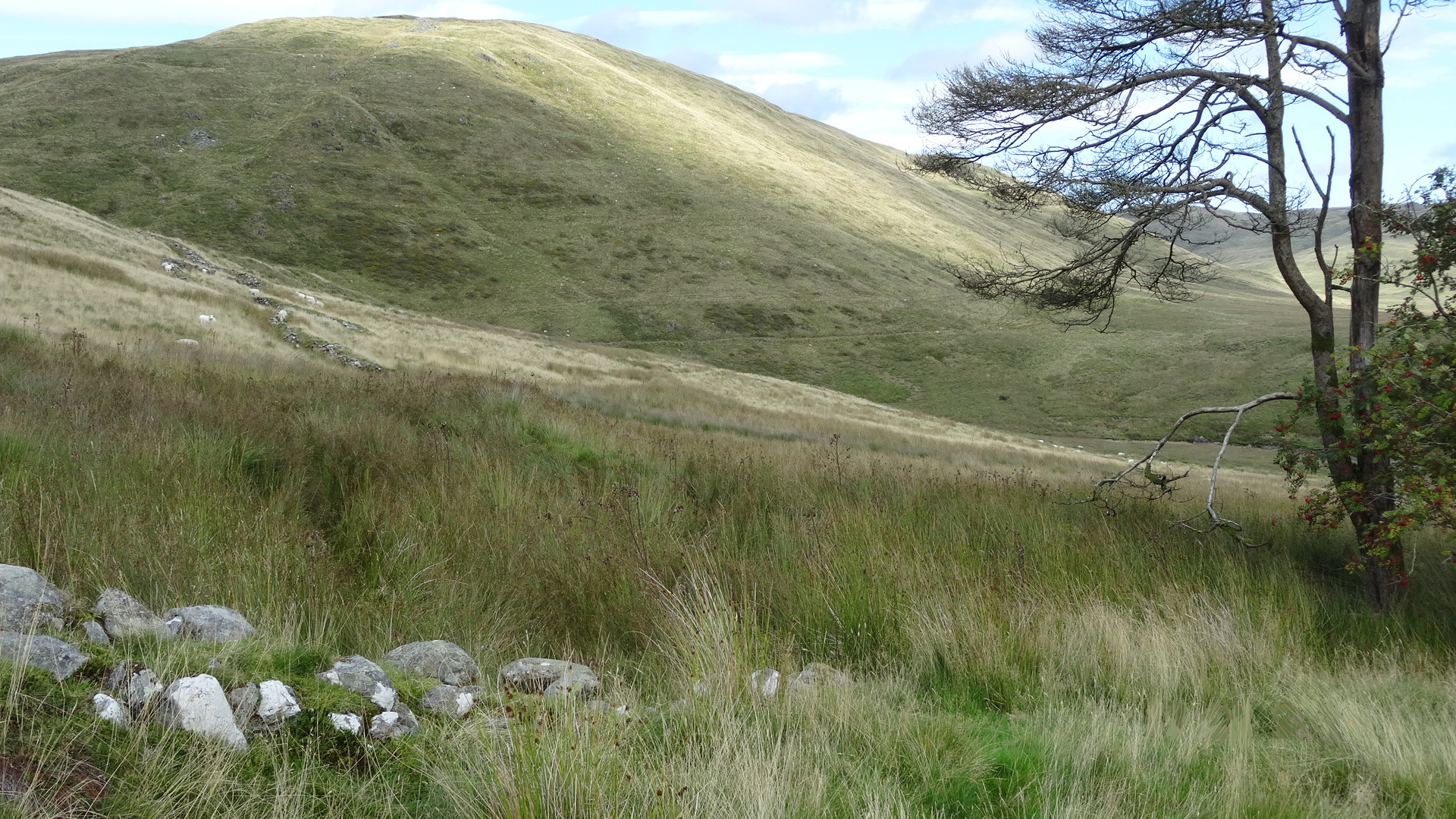
Climb over the gate, and continue along the track, which curves round the base of Cefn yr Esgair, and then heads up the cwm of Nant y Baracs towards a small copse of conifer trees surrounding a farm building perched on a mound in the distance.
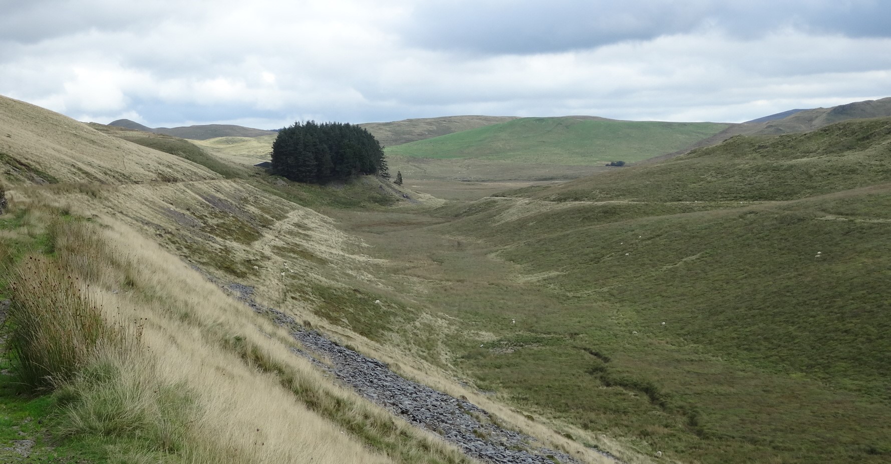
Although the Right of Way drops down closer to the stream here, it is much better to keep on the track.
When you get almost to the copse, scramble down to the clear path which circles the base of the mound. In a short distance you will see a firm-looking path which crosses the stream to the right.
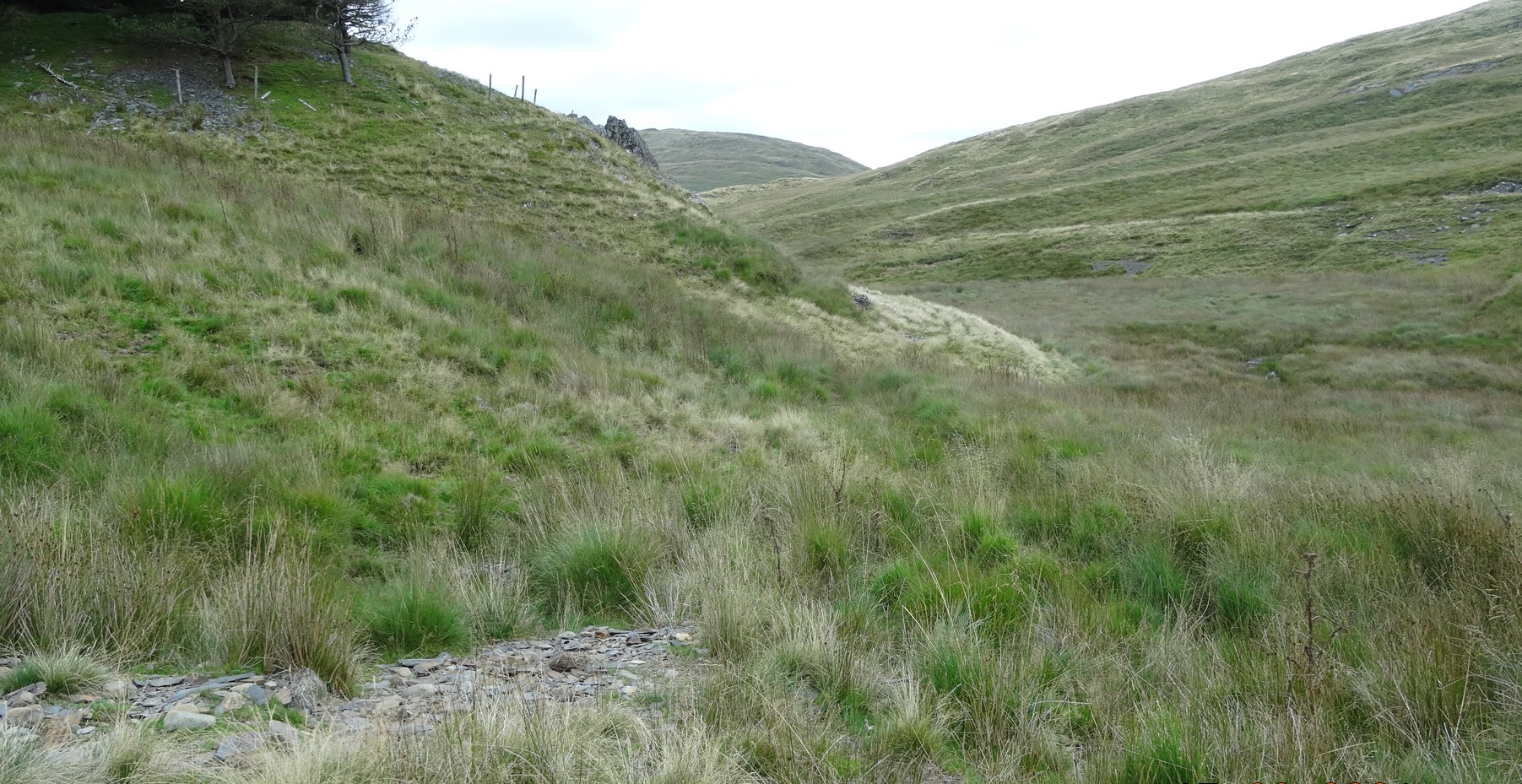
Look carefully for a somewhat faint path formed from the double track of an ATV (all terrain vehicle) which heads diagonally uphill and to the right. There is a lower path to avoid. If you are on the correct path, you will see the craggy rise of Crip y Fran not too far away to your left, and the path is rising fairly quickly to the first of a few prominent outcrops.
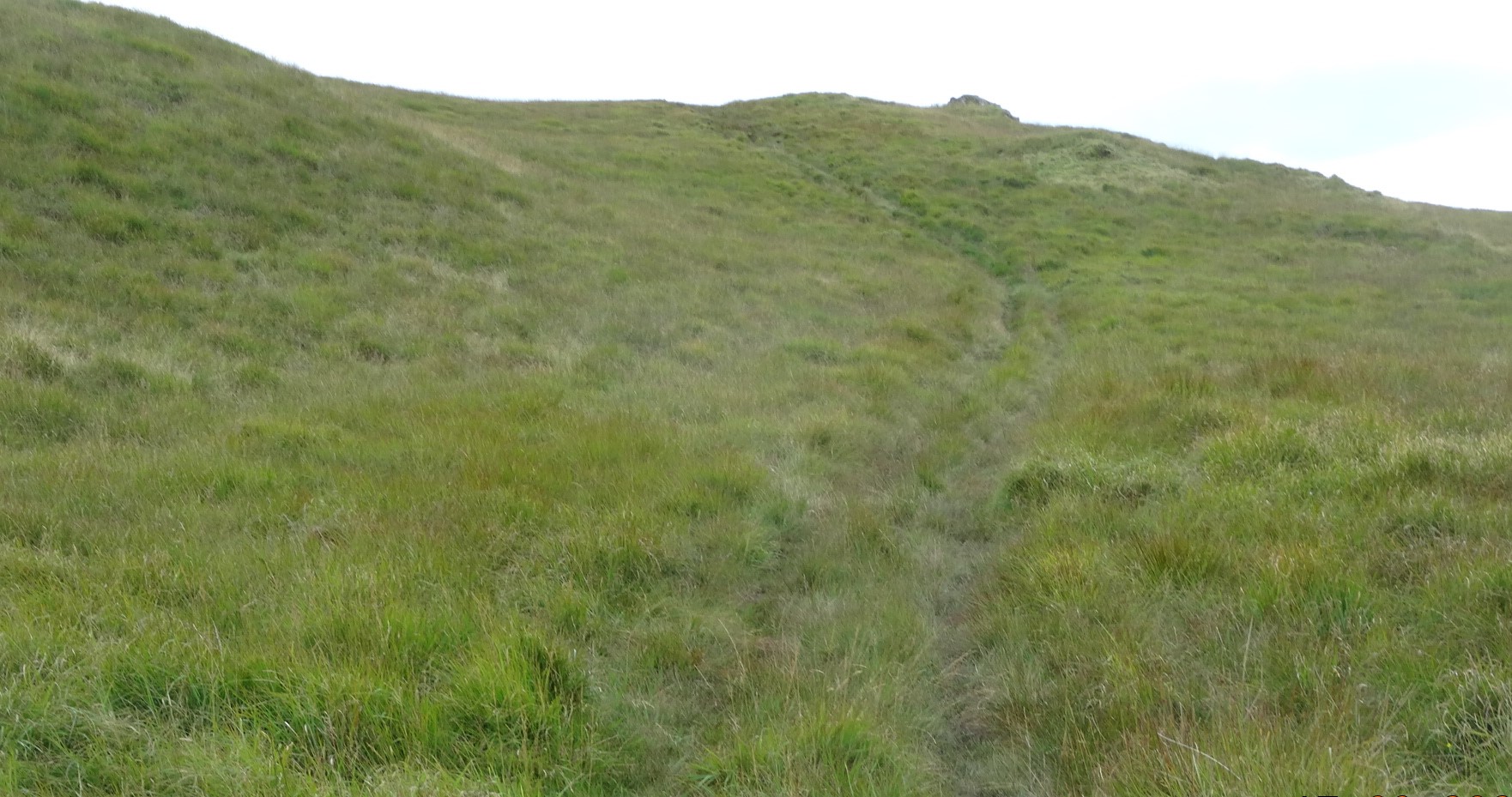
It is now just a matter of following this faint path, being careful not to lose it and wander off it into exhausting tussocks…it should be looking like it’s heading up the right-hand shoulder of Drosgol ahead of you, then eventually curving round to the left when quite high up the hill.
Now the path hairpins right and climbs up round onto the hill’s summit ridge, and then gets vague.
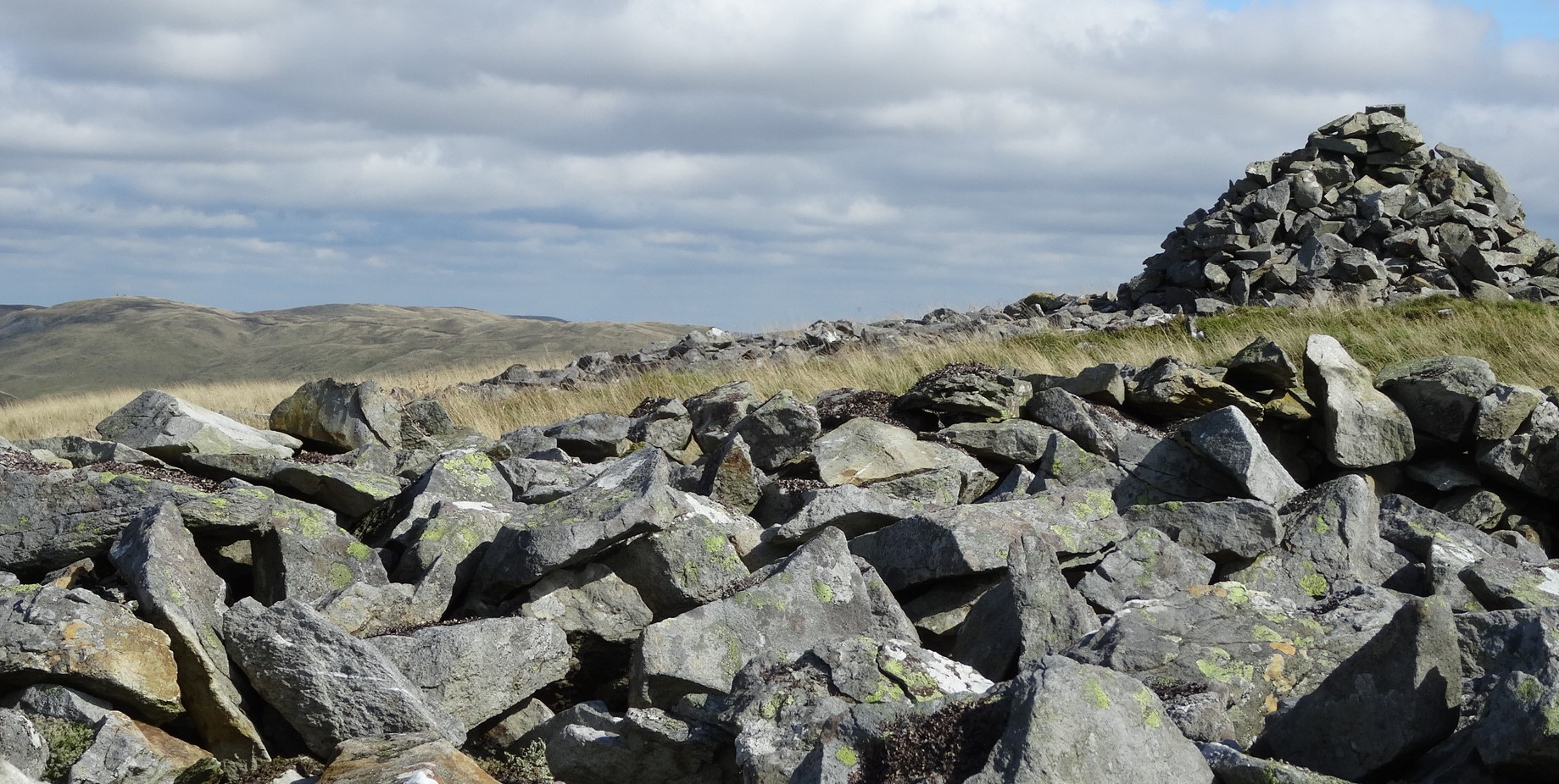
You should see up to your left the quite large cairn that marks the summit…head up the wide ridge towards it, and from there stop to admire the fabulous 360° panorama.
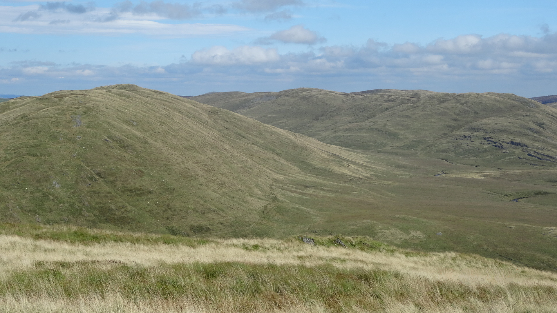
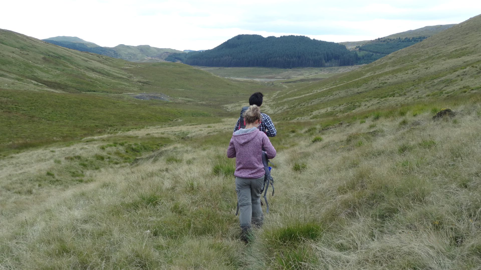
In addition to the cairn, there is a low sheep shelter on the summit. Once resting, viewing and lunching are over, head down the other side of the hill, in a roughly north-easterly direction, avoiding the odd rocky outcrop, and choosing the right-hand of two visible broad shoulders, with a wonderful view ahead dominated by Banc Llechwedd-mawr and the cwm of Afon Hyddgen. There is no discernable footpath, although the many sheep tracks are useful, and the low tussocks and long grass are not unpleasant going downhill.
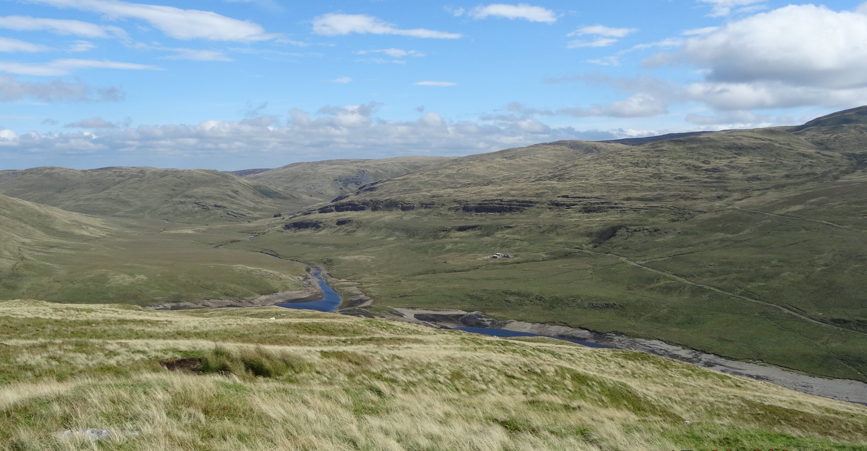
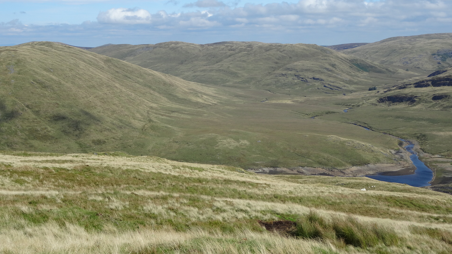
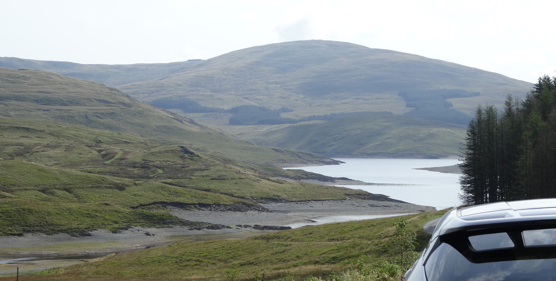
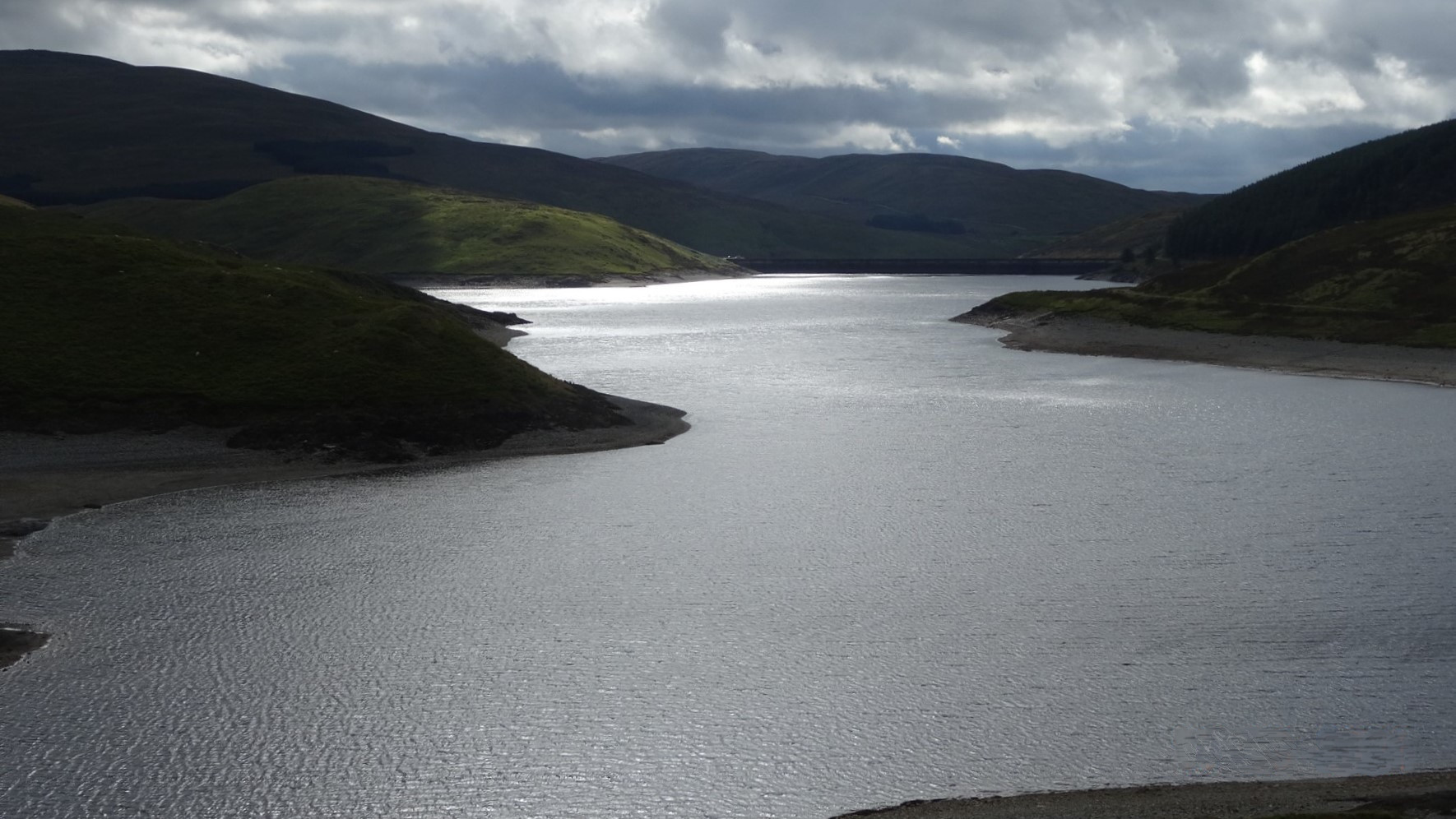
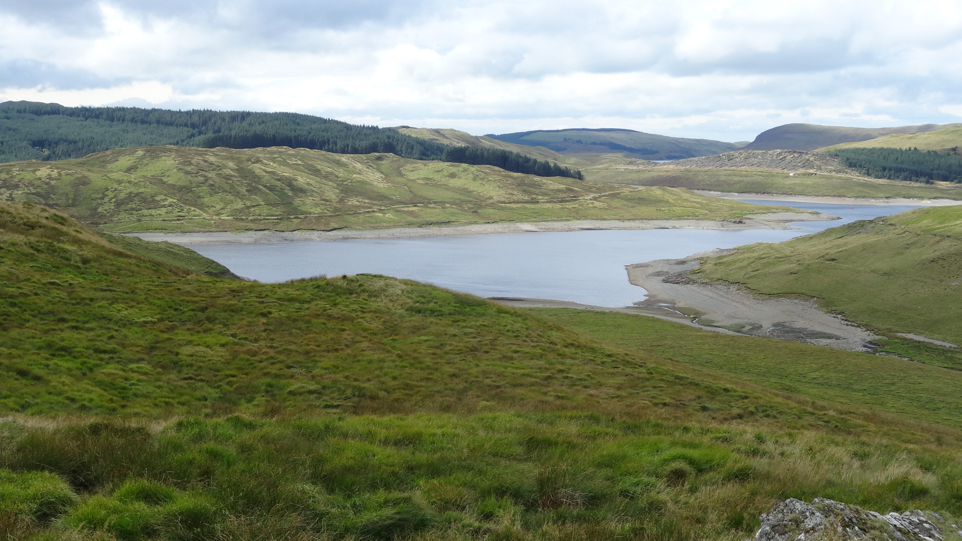
Eventually, you will notice a ruin with a few trees at a low level down slightly to your left near the bottom of a shallow stream gully, and you should work your way down to it, avoiding patches of boggy ground by keeping above them where possible. From the ruin, look across the lake to see the former outdoor centre building of Maesnant, the start of the best route up Pumlumon, and the serried ranks of crags of Fainc Ddu above it.
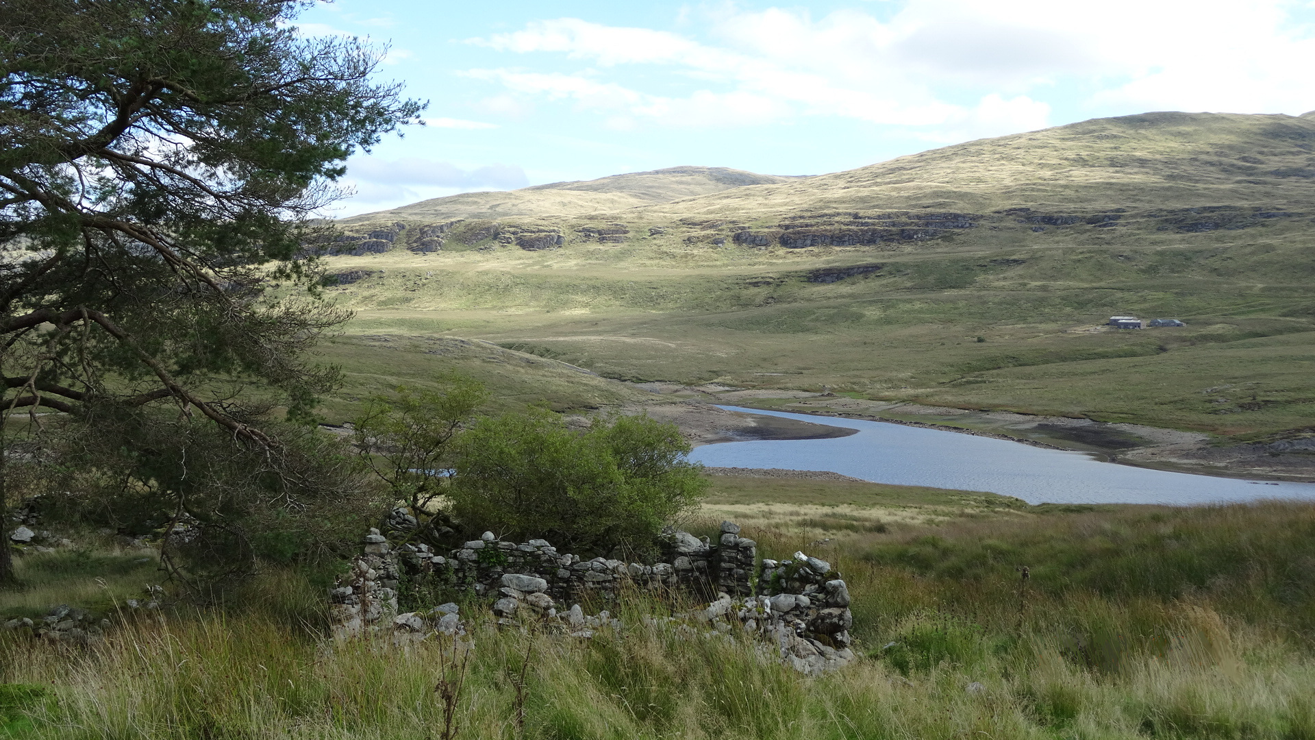
From the ruin, pick up a path, more or less a sheep track, which skirts above it and through a wide boggy patch eventually leading round the bottom shoulder of Drosgol where an inlet of the lake becomes the stream of Afon Llechwedd-mawr. Once round the corner of the shoulder on your sheep track, you should spot a footbridge over the stream, which you should make for, the best way you can, through the bogs and tussocks. There is a better way and a worse one!
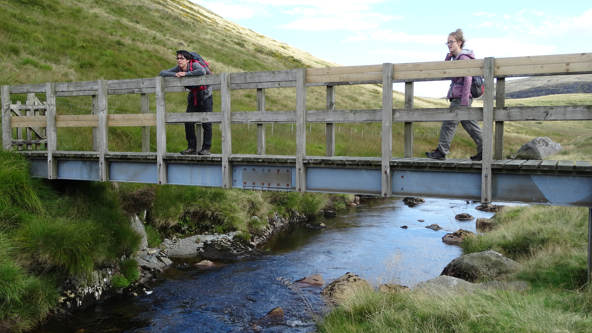
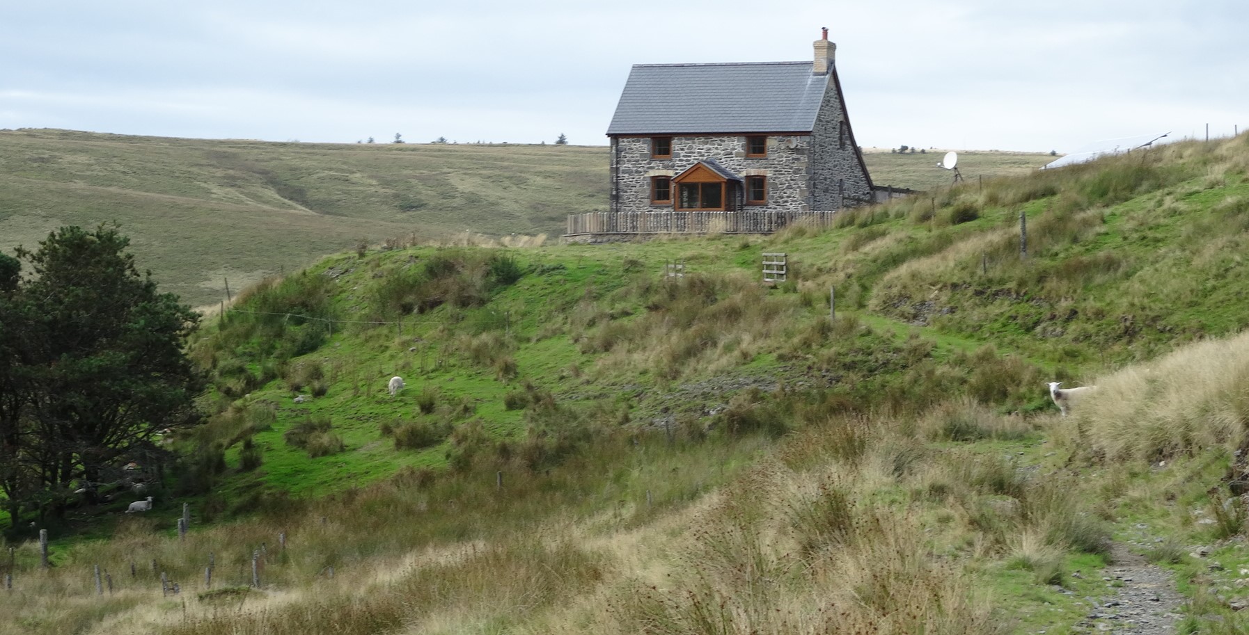
At the bridge, decide whether the ascent of Banc Llechwedd-mawr is on the agenda…ominously steep and even rocky-looking above you, with no clear paths….a ‘there and back again’ optional extra if you have the time and energy. Even to attain the good valley track above, that we need to take for the regular walk, is not so easy, but there are a few faint paths leading diagonally to the left, and once you have got onto the rough track the day’s difficulties are over, apart from stream crossings. Walk easily now on the level track heading towards the refurbished house of Llechwedd-mawr ahead.
From here, it is just a case of following this track, now an unmetalled lane, over a cattle grid and to the first ford… across the Nant y March…not too difficult to jump across where the stream narrows.
A long stretch of pleasant lane and fast walking leads to another cattle grid and stream to cross (Nant y Ci), then the much greater challenge of the ford across the main river at point 16 on the map.
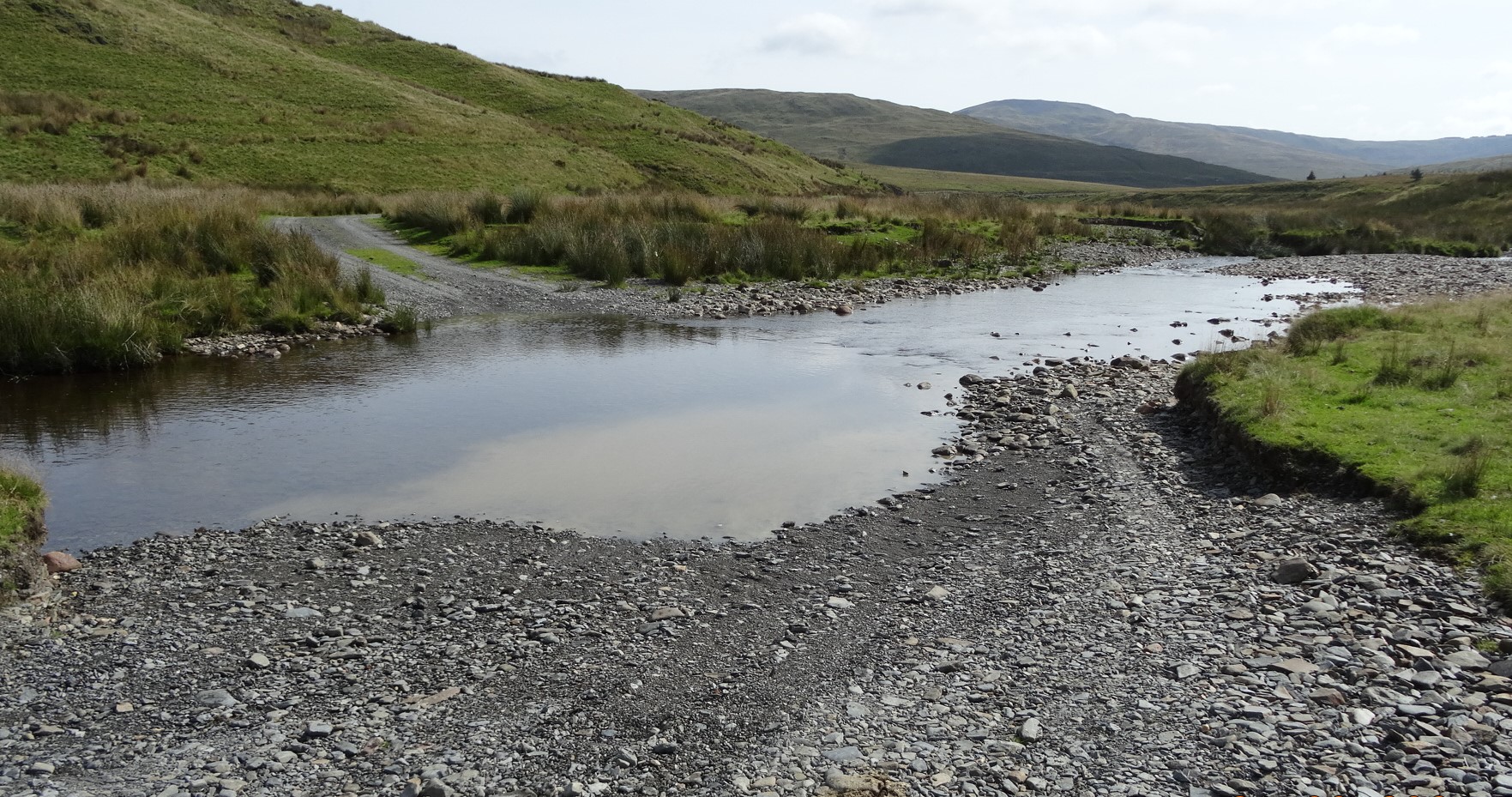
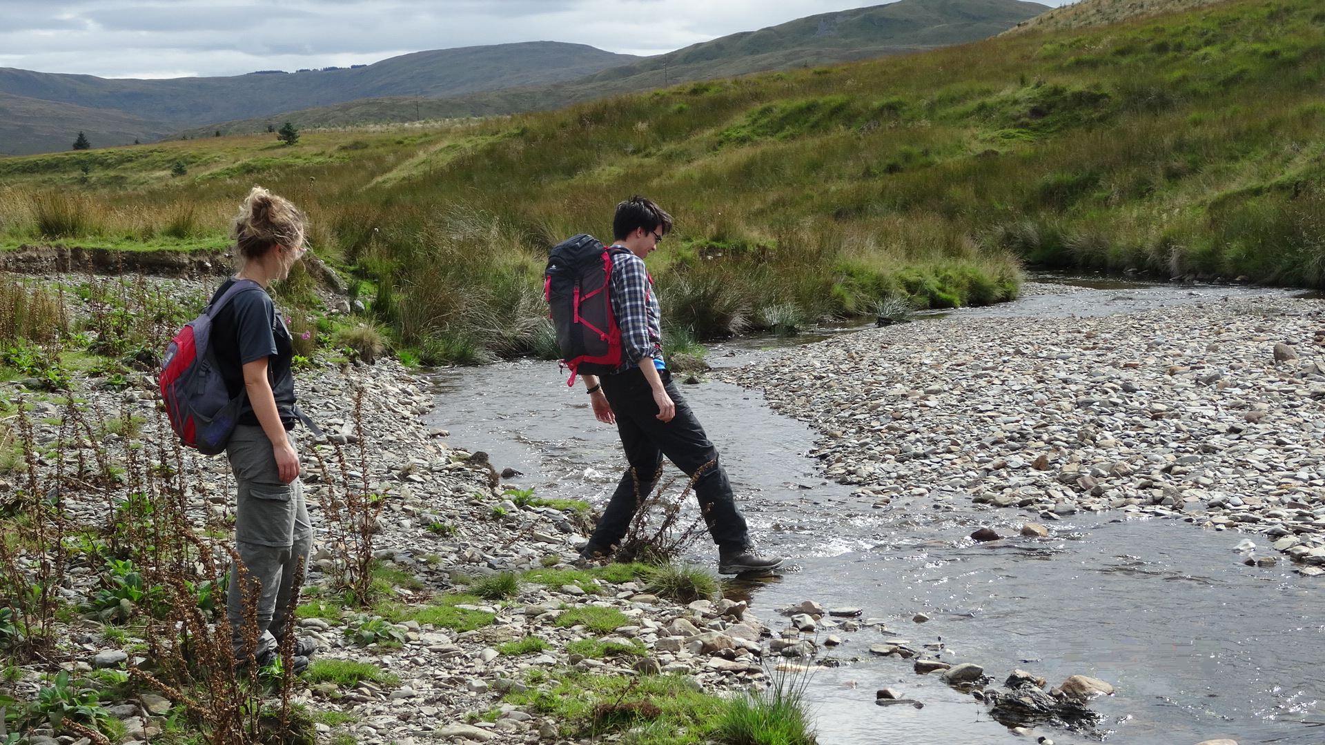
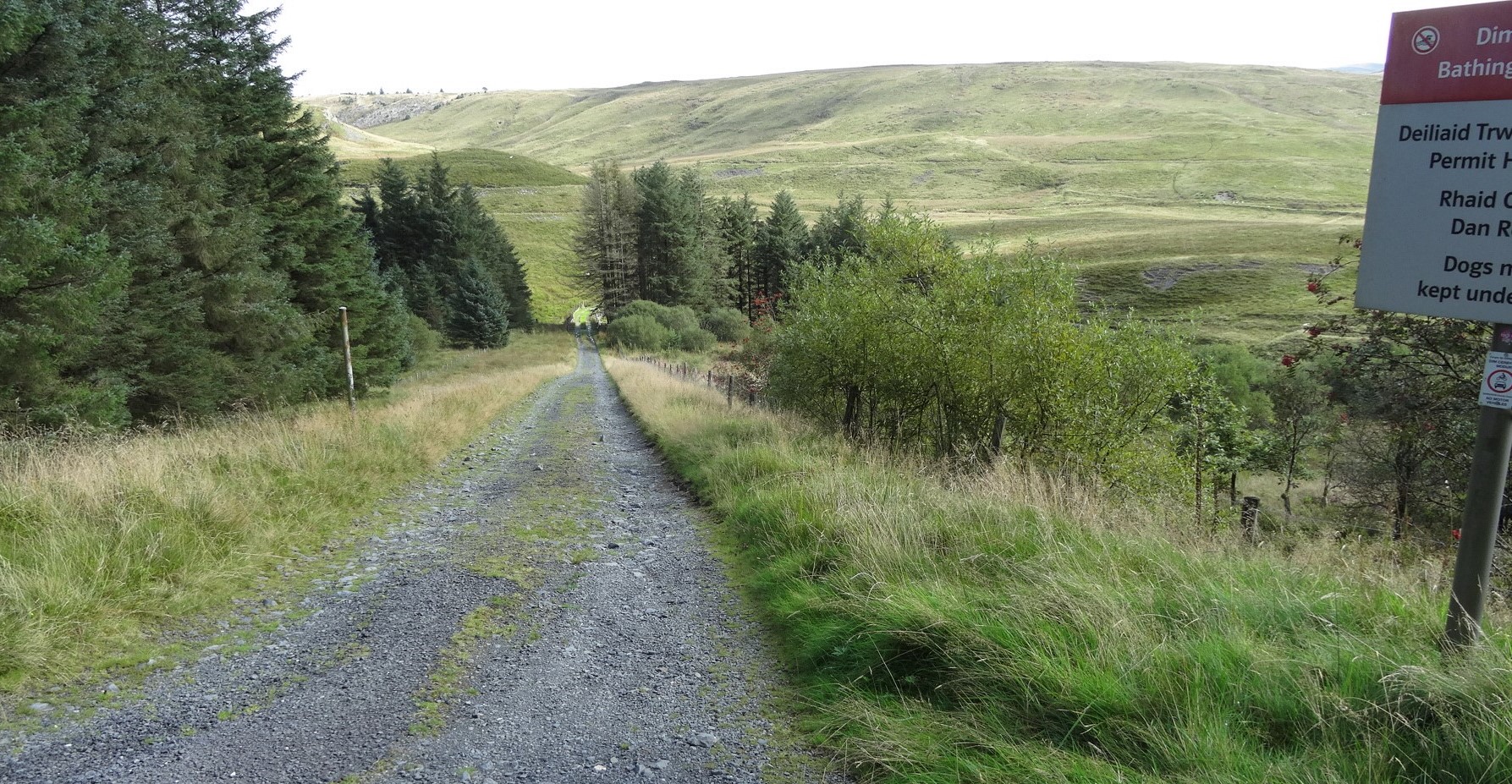
Look for crossing options each side of the ford where the river narrows…getting wet or leaping is a matter of personal preference, but after rain this point may require a bit of serious wading without any other options. The pictures here were taken in September after a dry spell. After the river crossing there is a second padlocked metal gate to negotiate, but this time there is a very crude stile provided alongside…this takes you into forested land of Natural Resources Wales (NRW). There is yet another ford/stream crossing; in this general area DO NOT try to follow the Right of Way left up the hill as on the OS Map, as it does not exist on the ground. Instead, continue on the lane for a little further, then look carefully for a path turn-off to the left.
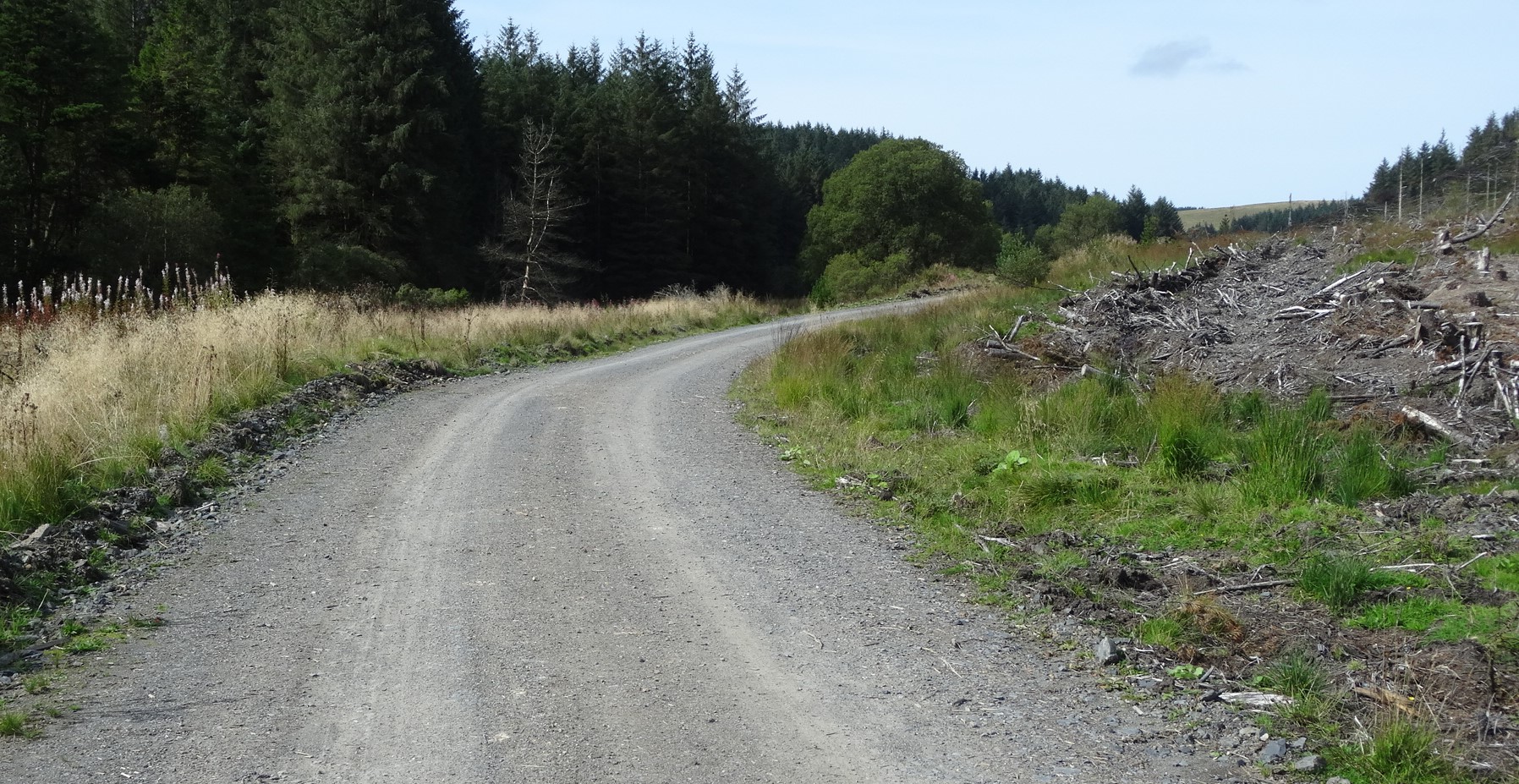
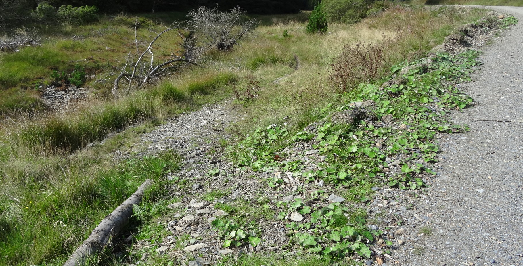
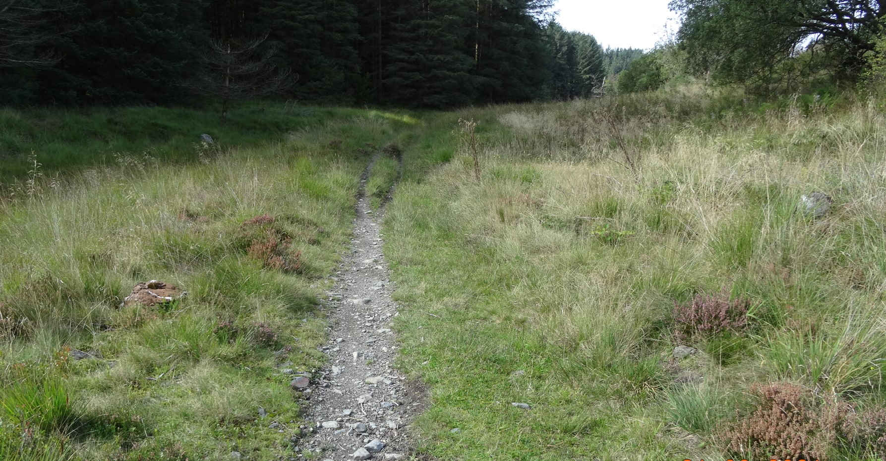
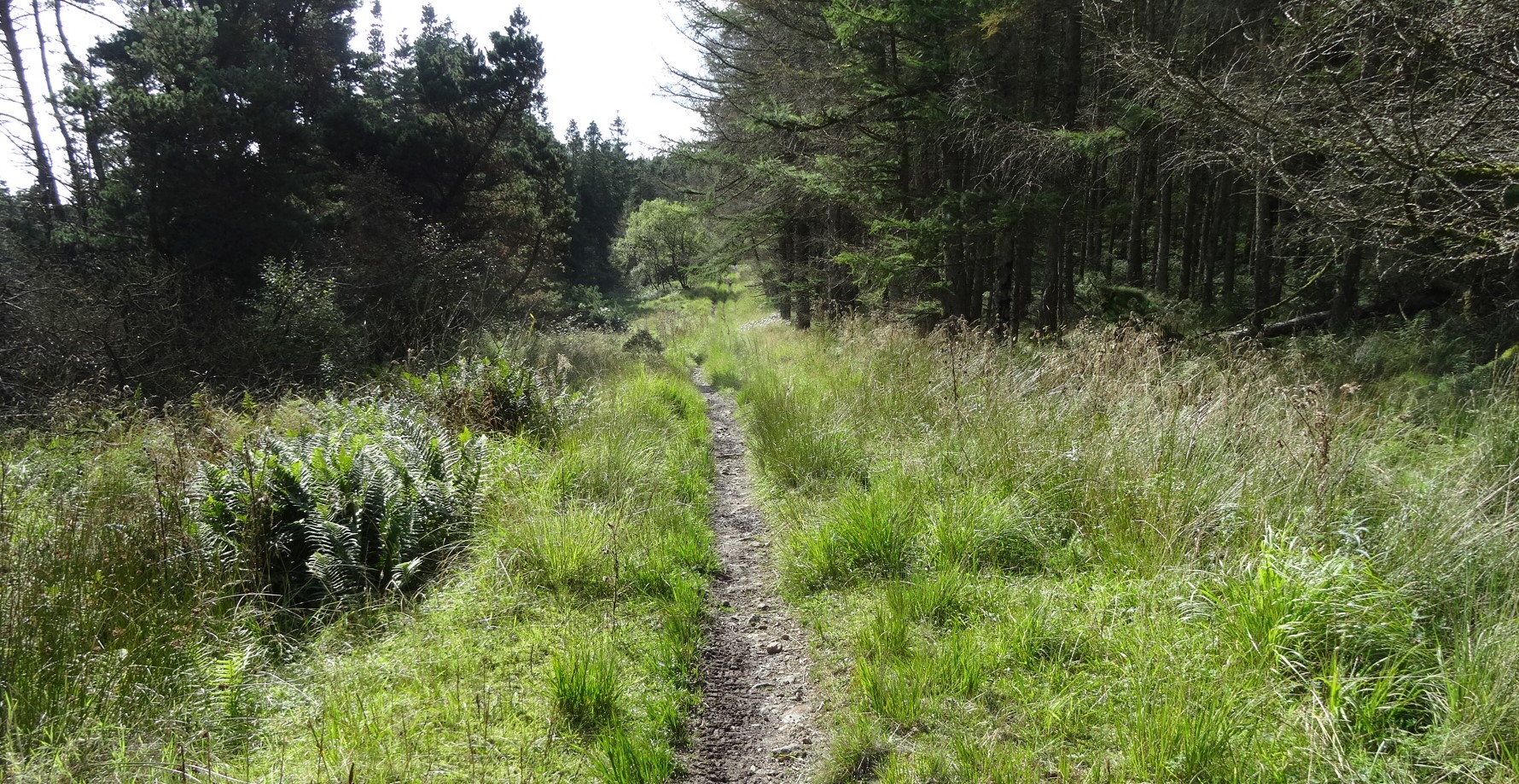
The path drops down from the track just after a right hand bend, (see photos above) and before a left-hand one, and heads along the bank of the small stream of Afon LLuestgota a short distance. Then it crosses it, which should be a relatively easy business… Dry your feet, now, that’s the last crossing! This path is very clear and easy to follow leading up into the forest up a straight ‘fire break’ in the tree cover, until it meets a good forest track coming in from the right.

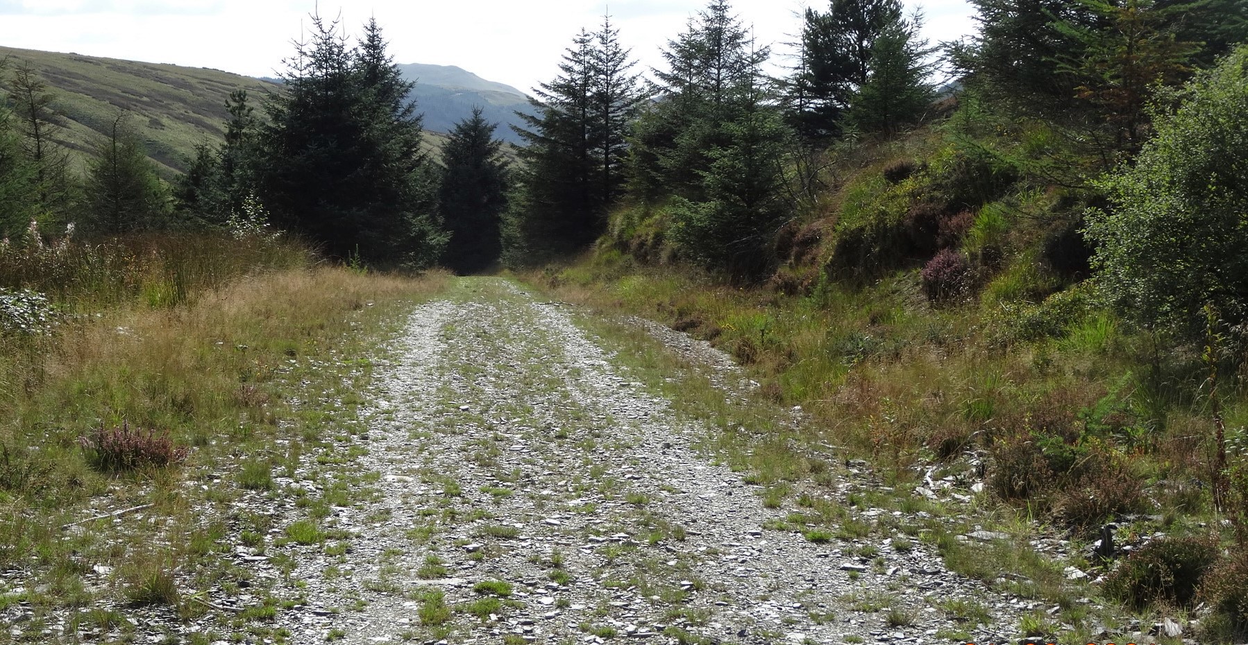
Here, turn left onto the track and follow it round a sharp bend and gently climbing. From a high point in the track near a very ugly spoil heap, there is then a delightful short downhill walk through the forest, until you reach the forest boundary at a third padlocked metal gate.
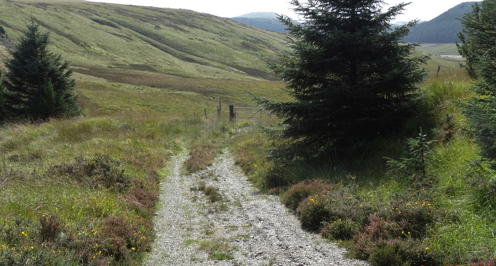
There is suddenly a lovely open view down the shallow grassy cwm, with a glimpse of the north-west corner of Nantymoch, and Dysgwylfa Fawr in the left distance. This gate also has a feeble stile to the left of it, but the track disappears here, and you follow a much less distinct narrow path keeping well above the stream and boggy areas to the left.
When almost all the way down, with a ruined building over to the left, the path deviates from the Public Right of Way and joins the main lake track at a flat widened out area. Now turn right and retrace your steps to the parking area at point 1.
Comments (0)