


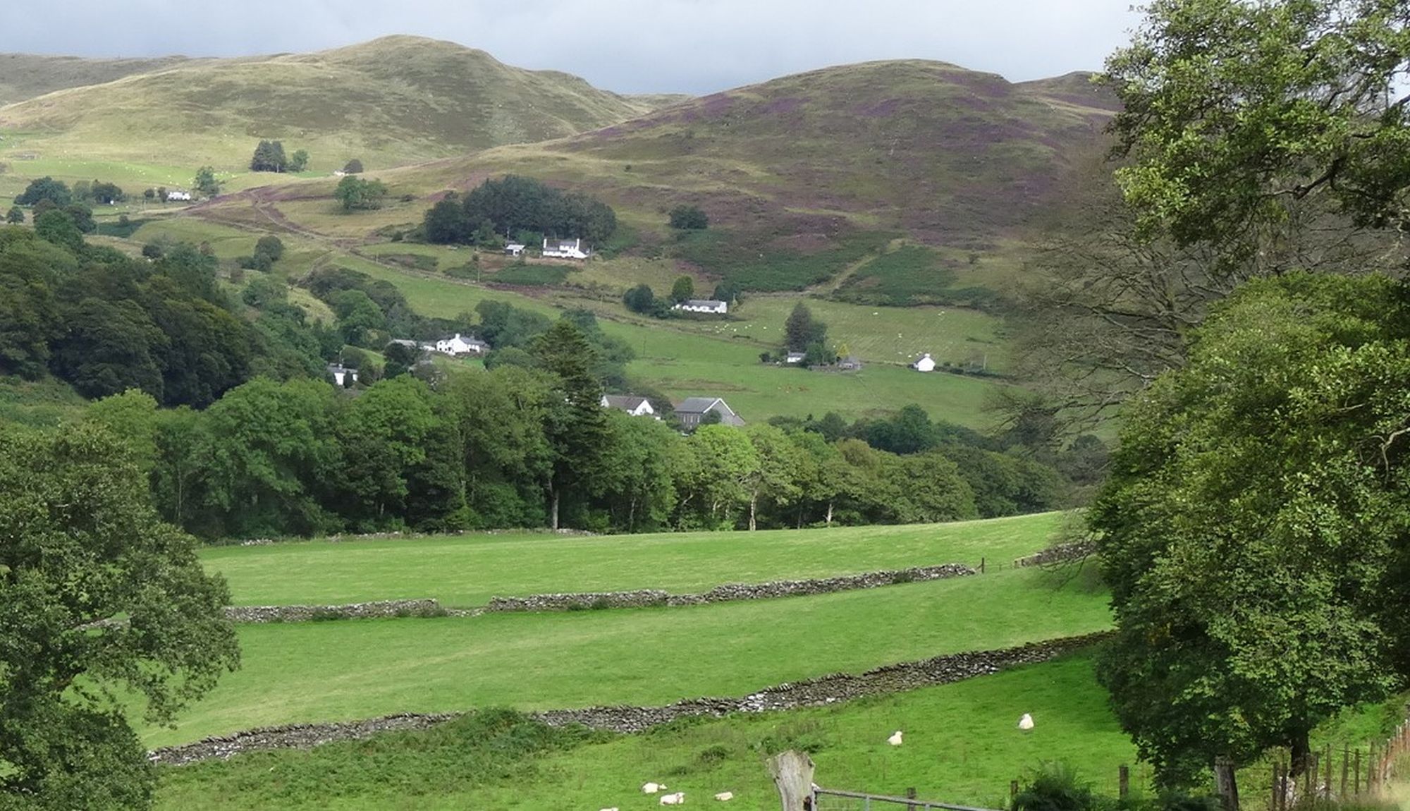
At the time of writing, the Hafod Estate has fairly recently been taken over by the National Trust. We have yet to see whether this will bring positive improvements in facilities for walkers, however one of the first moves has been to remove a lot of diseased trees, which has radically changed the character of the first stages of this walk, albeit opening up views not seen before. Hafod is becoming increasingly known and popular, rightly so for its landscapes and varied waymarked walks. In this walk, we sample a lovely corner of the Estate, the short walk around the gorges of the Ystwyth and Nant Gau, combined with a section of the Borth-Devil's Bridge path (Mal Evans Way), and the wonderful wild hill country around Cwmystwyth. It is relatively strenuous, with a sharp but dramatic climb up to Graig y Ddalfa around the half way point, and a longish loop back to the starting point at the top Hafod car park. But apart from a short section on Graig y Ddalfa it is along clear tracks, obvious paths, and lanes. There are one or two problems in the later stages where stiles are now missing, but there are alternatives described in the text. I have included this walk here in memory of my late good friend and walking companion, Harm de Boer, who sadly left us in 2023. He is featured in some of the photos.
(opens in new tab):
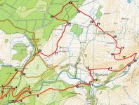
of starting point :
The starting point is the well-marked National Trust car park near the Hafod Estate church, which is reached by branching off from the Devil’s Bridge/Pontarfynach to Cwmystwyth road (B4574) following the signs to Hafod.
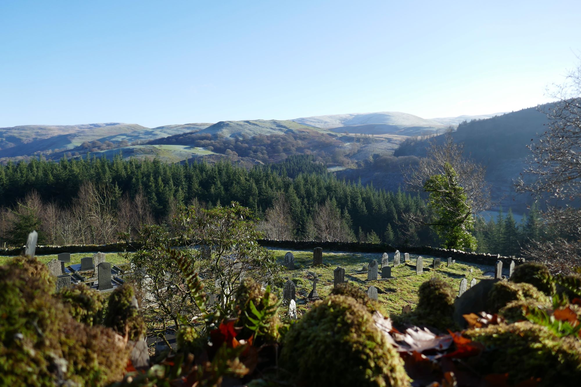
From the car park, take the blue+ yellow waymarked route which descends diagonally down the hill, at first alongside the upper end of the church cemetery. Those familiar with the Estate will be astounded by the recent felling of trees in this first section, due to disease. New vistas have been opened out towards the hills of the upper Ystwyth valley.
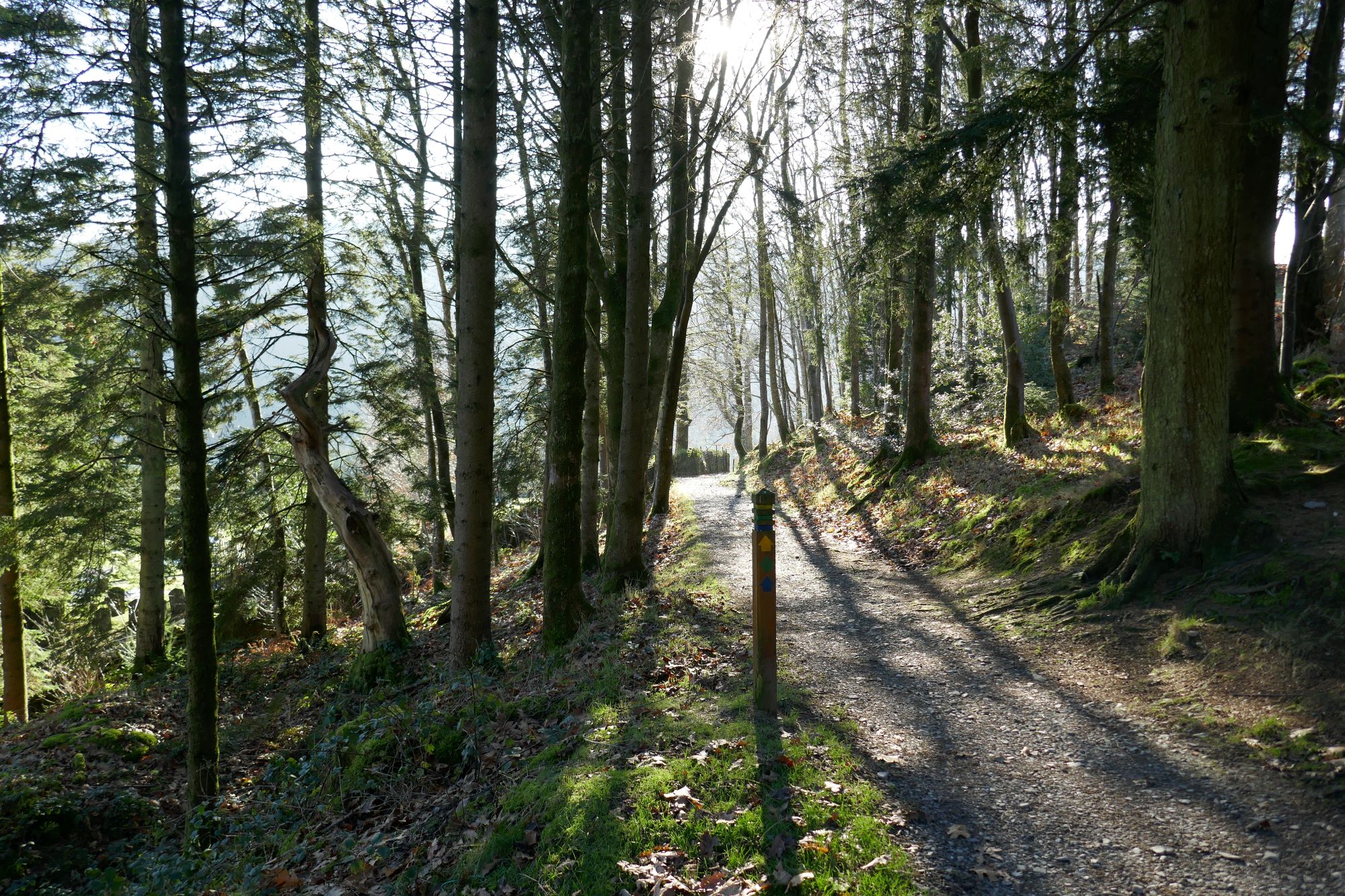
The path soon hairpins back on itself, crosses a much larger track halfway down, then arrives at the fork in the LH pic below.
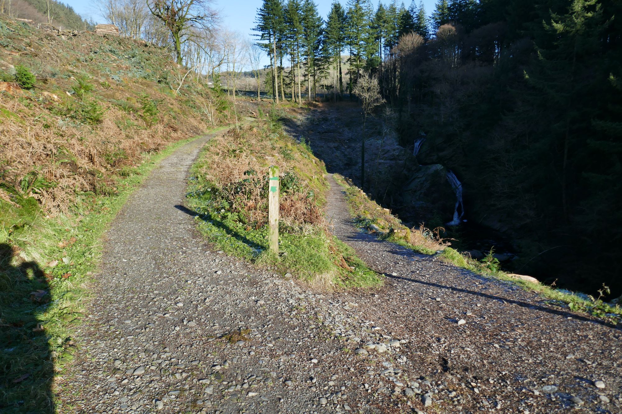
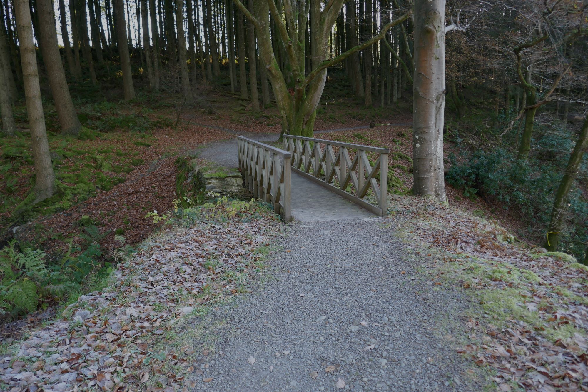
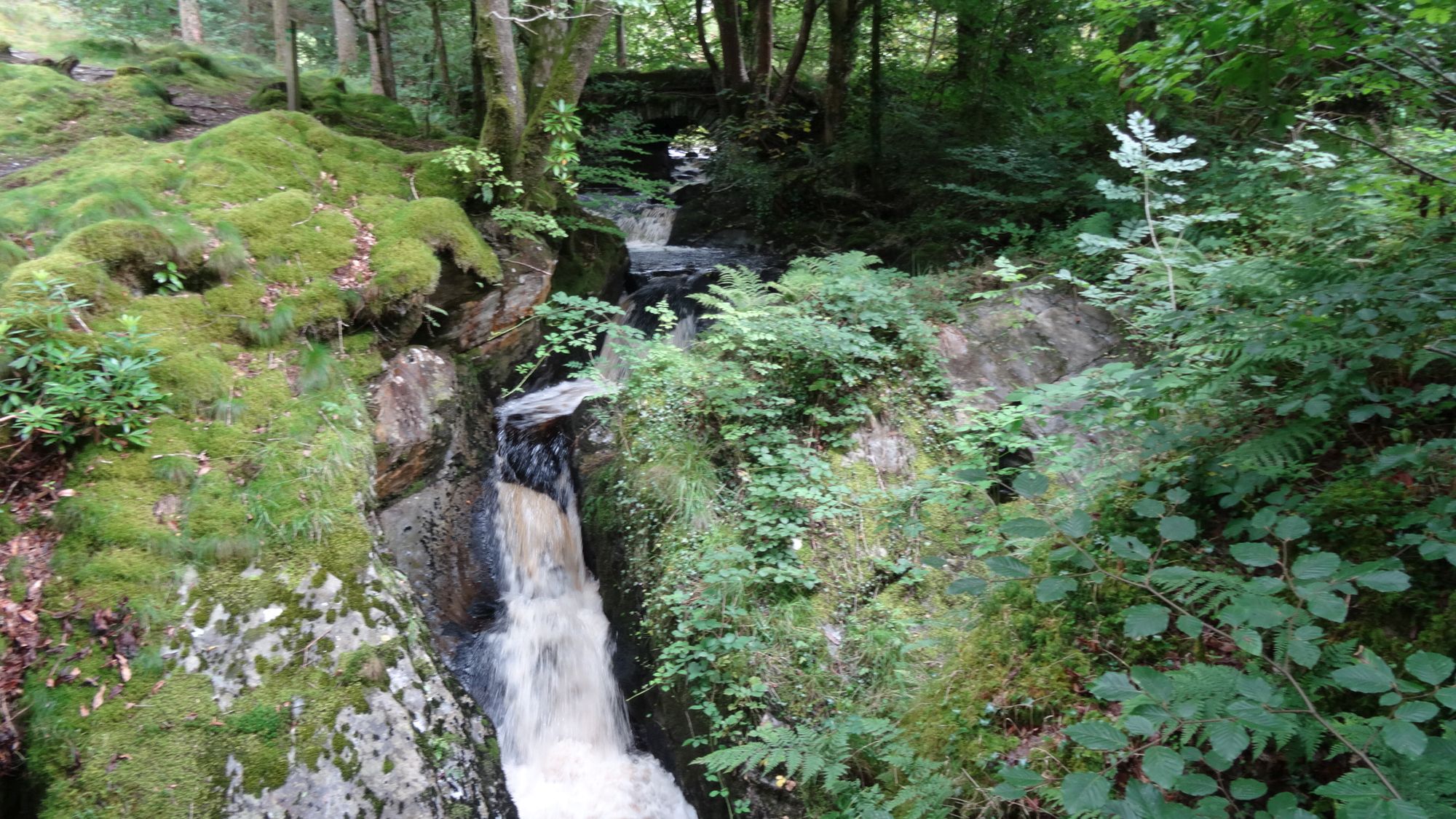
Take the left fork where the other option descends to below the first waterfall (Peiran Falls)(see LH pic above), now keeping on the level following the ‘green waymarks, winding round higher up, and eventually crossing a bridge just upstream of the falls over the Nant Peiran(see RH pic above)
Continue to follow the clear obvious path as it winds round in a wide arc through the trees, rising briefly, then level again. Notice the seriously engineered nature of this path...wide and flat and cut through rock faces...originally called the 'Gentleman's Walk'
Eventually, the path rather suddenly descends to the right, becoming narrower and zig-zagging steeply down through the trees to a wobbly rope and wire bridge across the narrow rocky gorge of the Afon Ystwyth.
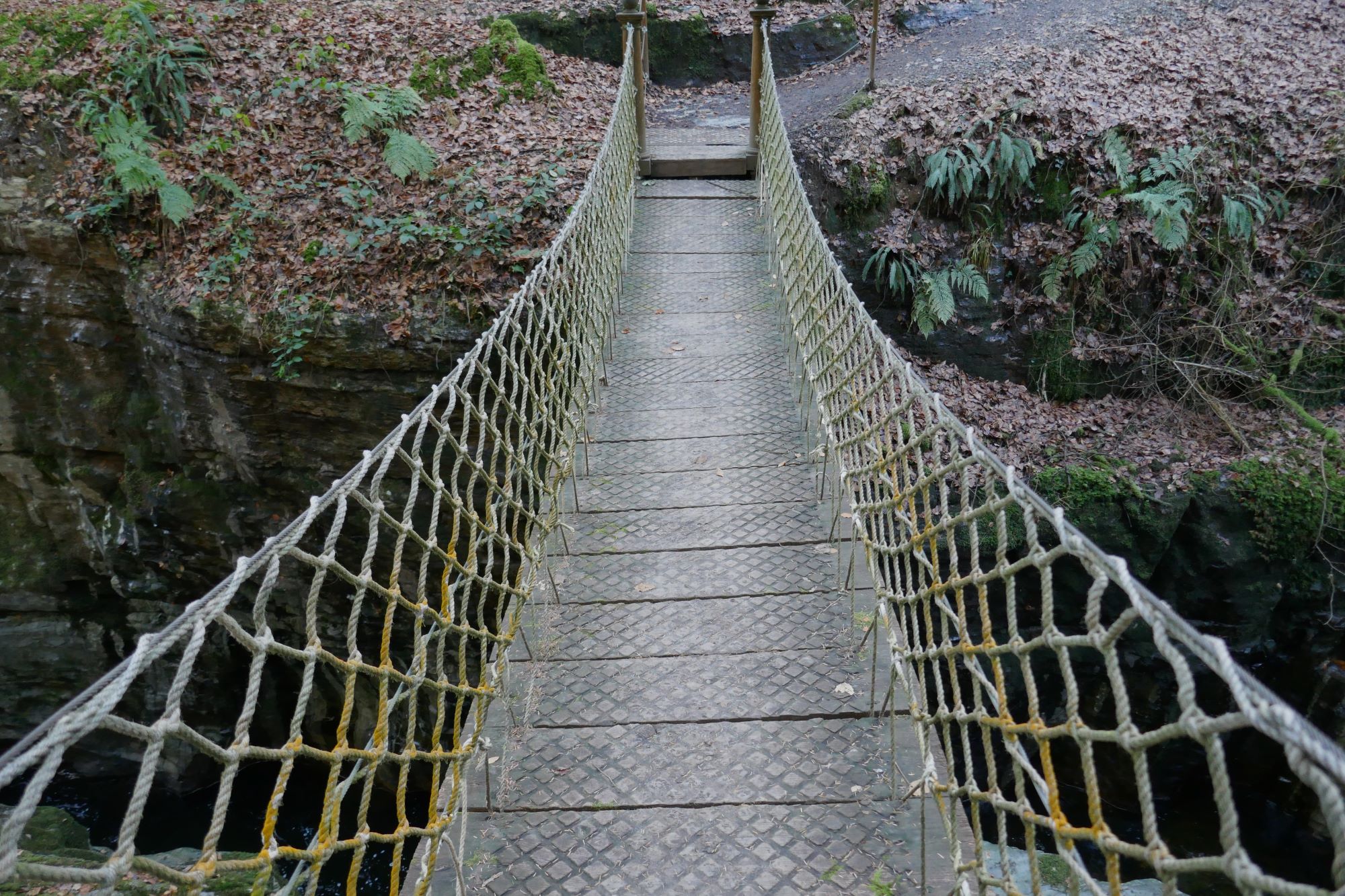
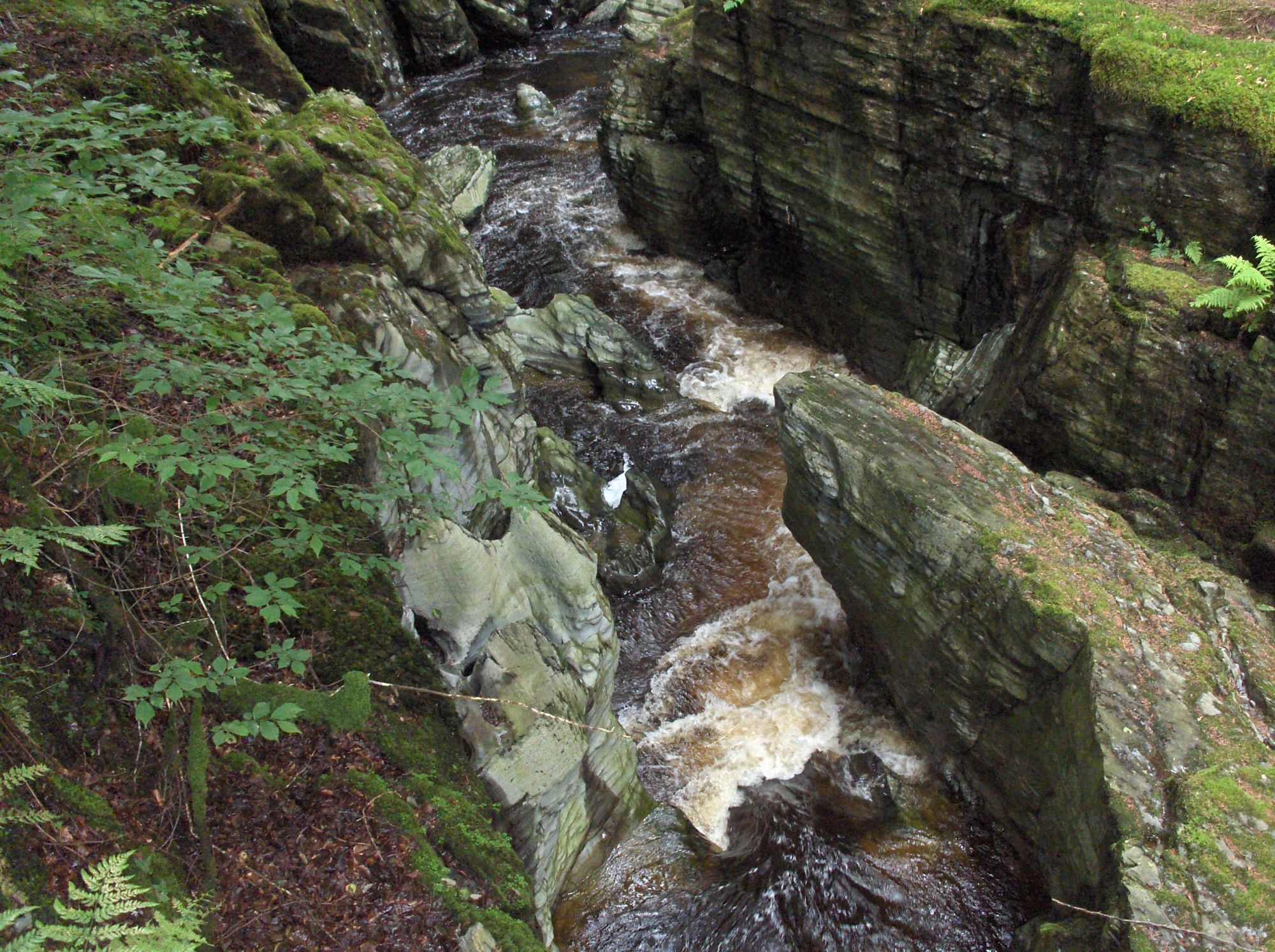
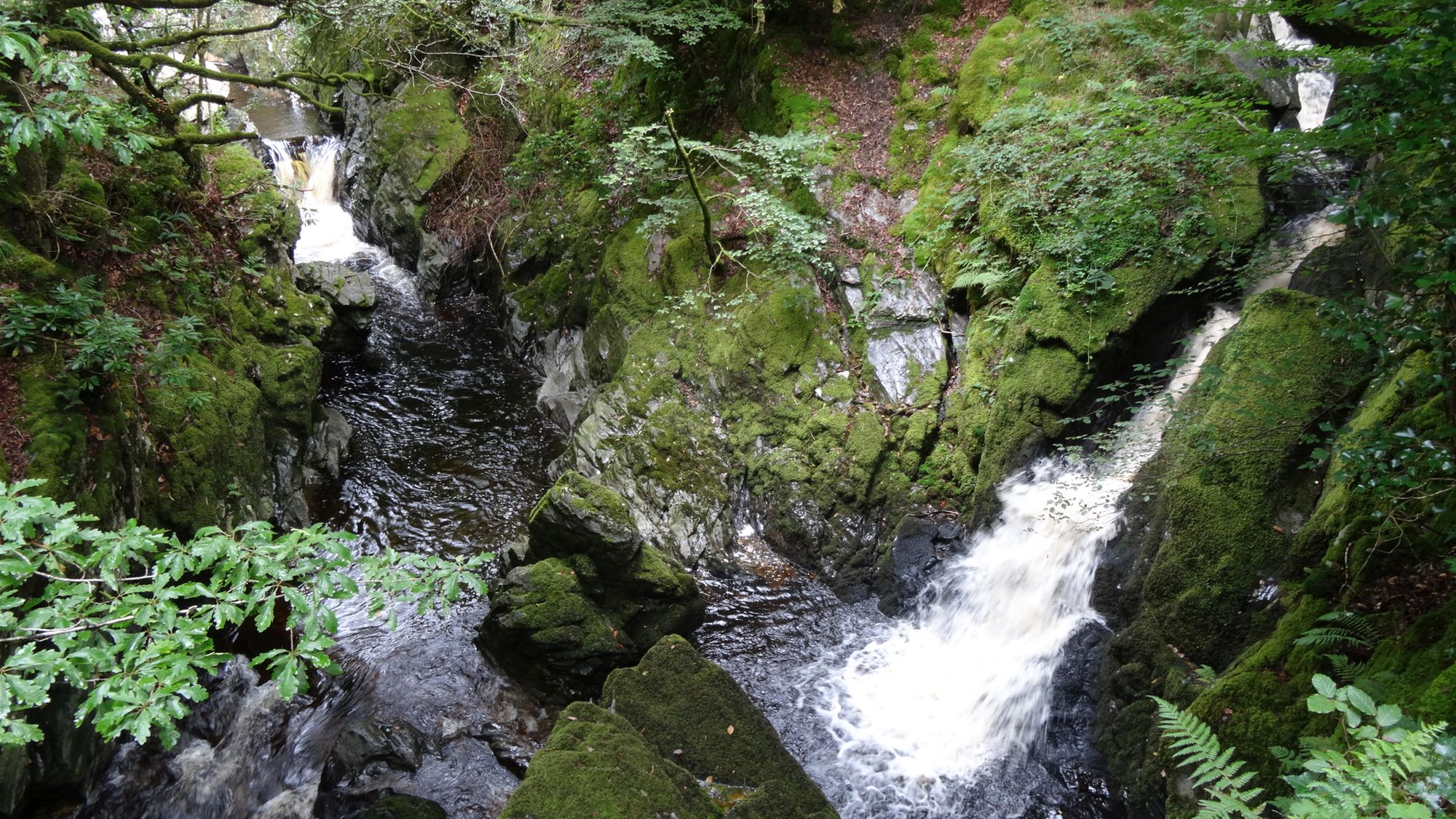
A good vantage point to photograph others having fun on the bridge with the gorge below, is a so-called ‘gothic arcade’ a short distance further on along the path, with a rather impressive drop down into the river below. The path then ascends a series of shallow 'rustic' steps, before eventually descending to Pont Dologau, where the smaller Nant Gau meets the Afon Ystwyth in an attractive pattern of rushing water, and there are three small bridges.
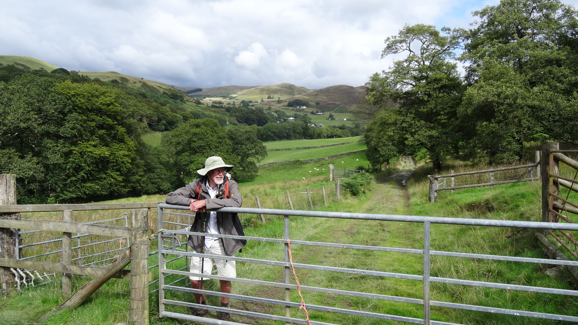
Avoid crossing the stream twice by cutting down to the left just before reaching the bridges, down to a broad track which leads back uphill, away from Pont Dologau and the Hafod Estate.
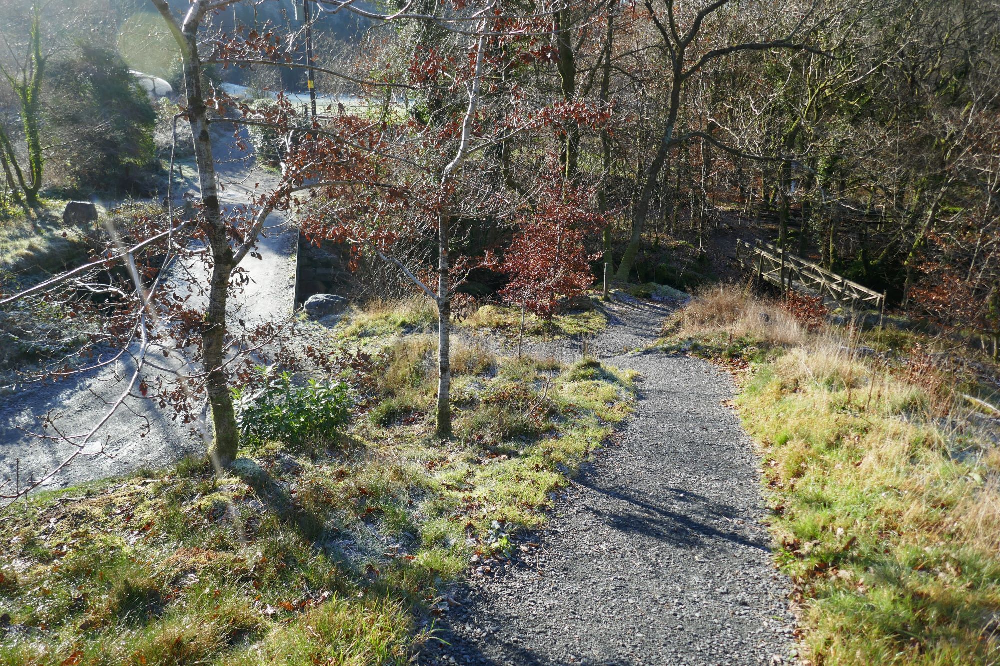
There is then a large clearing and fields to your right; you are now on the long-distance Borth-Devil’s Bridge path (Mal Evans Way).
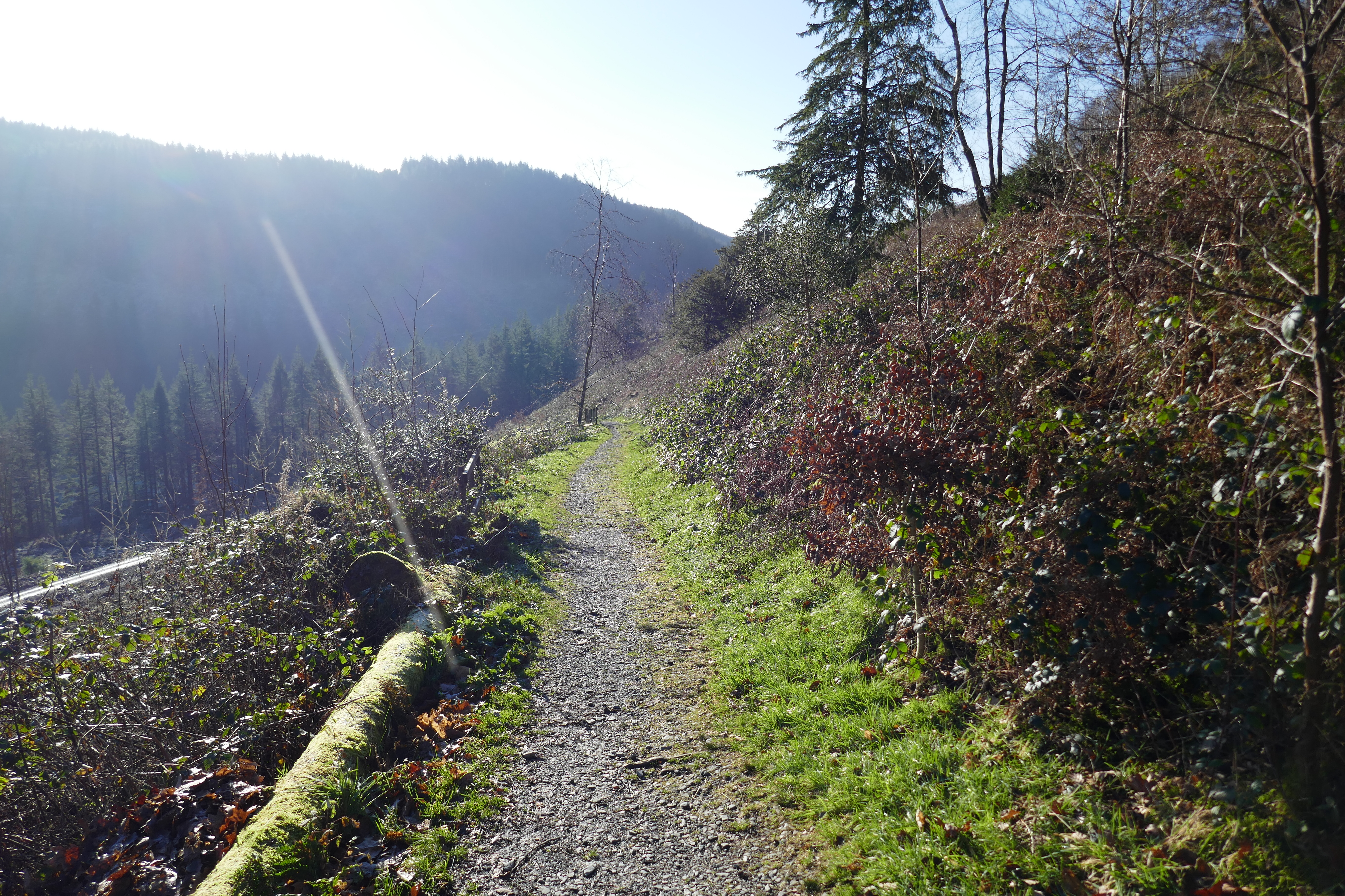
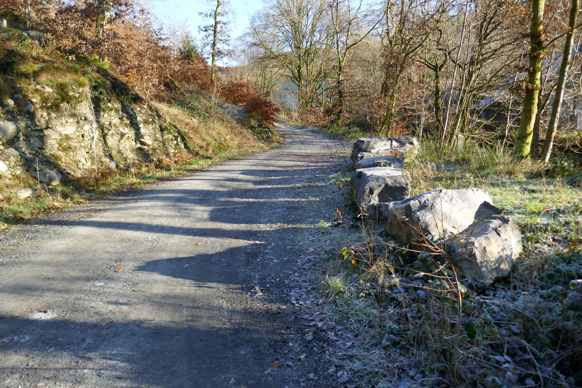
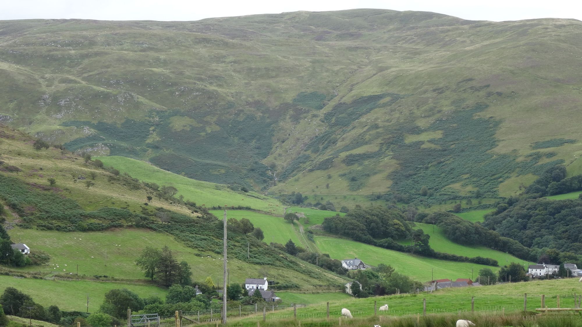
The path is a clear track for a little less than 2 km all the way to Cwmystwyth village, undulating here and there, but gradually ascending overall, with views opening out ahead, and some muddy patches and gates to be negotiated.
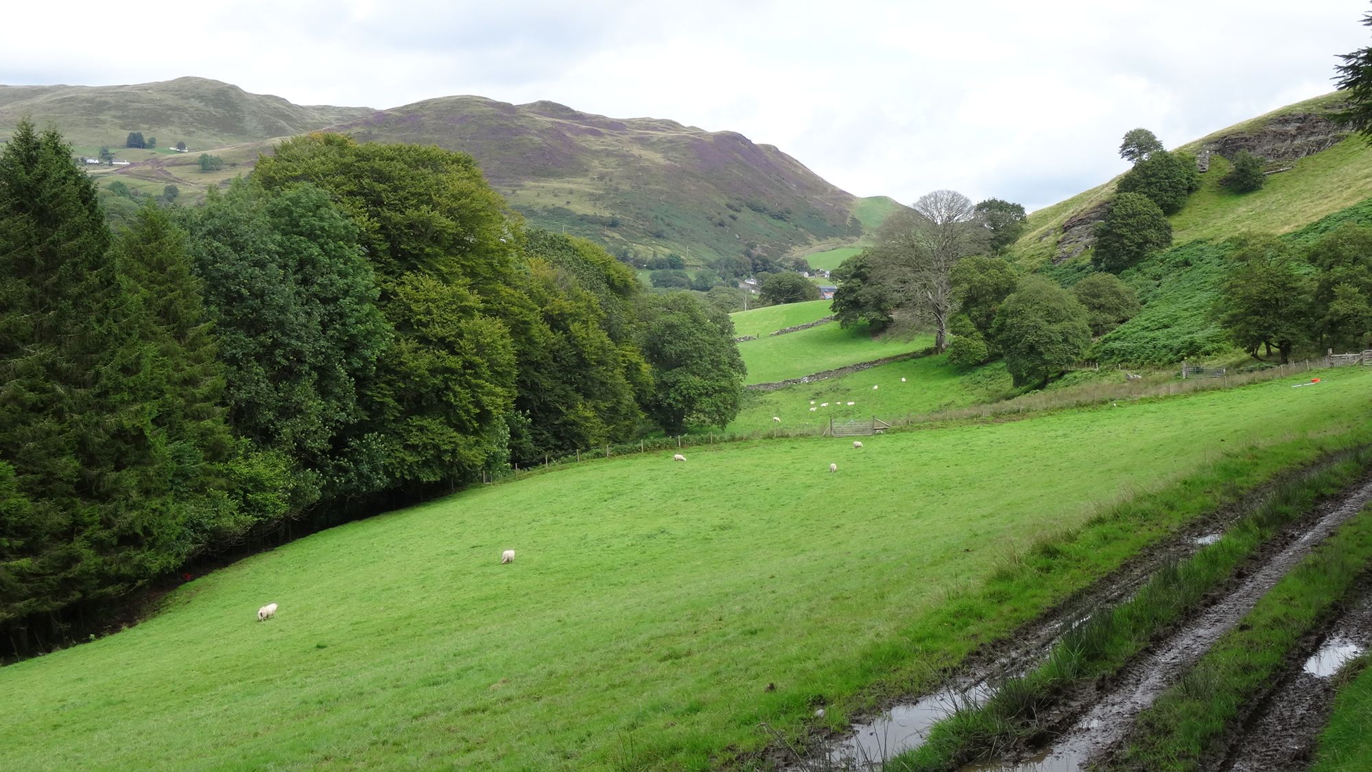

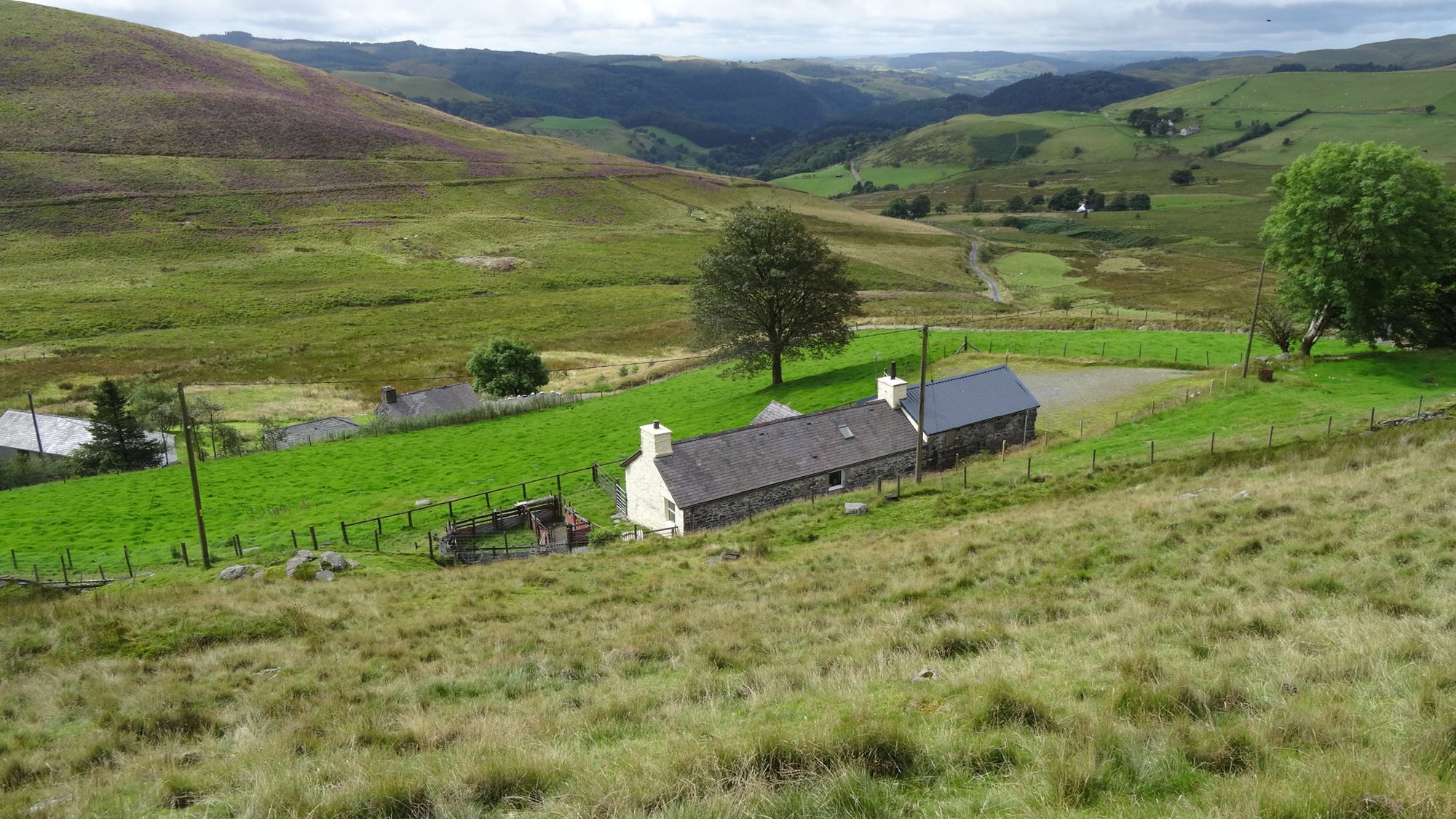
Where there is a fork and choice of routes, descend left towards the farm buildings at Dol-Chenog. Just before arriving at the farm, there is a clear sign and waymark indicating your route to go off the track into the small field to the right. The path through the field is extremely muddy and cut up, winding round a small shoulder of hill and trees...watch out for a metal footpath gate to aim for on your left...this takes you through onto a good farm track again, and is well waymarked. Go right on the track, very soon arriving at the bridge over the Afon Ystwyth.
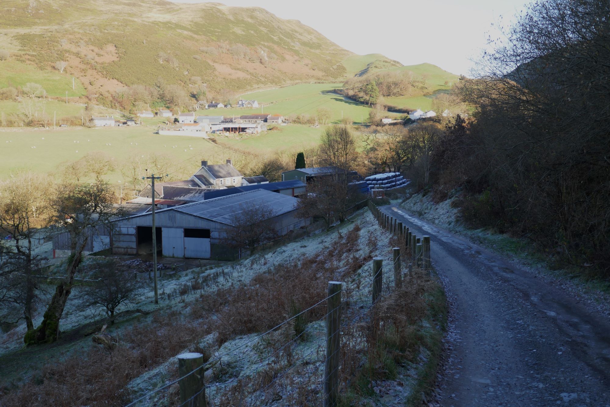
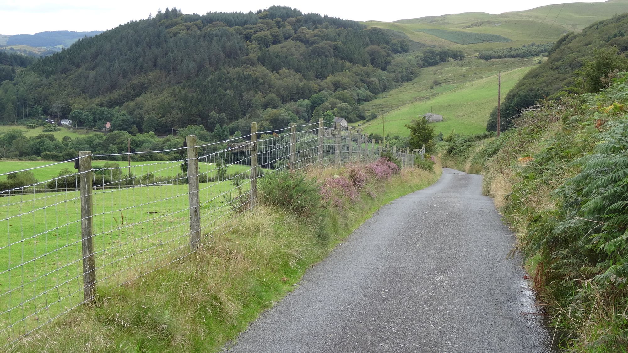
Cross the bridge and walk steeply uphill on the tiny tarmac lane.
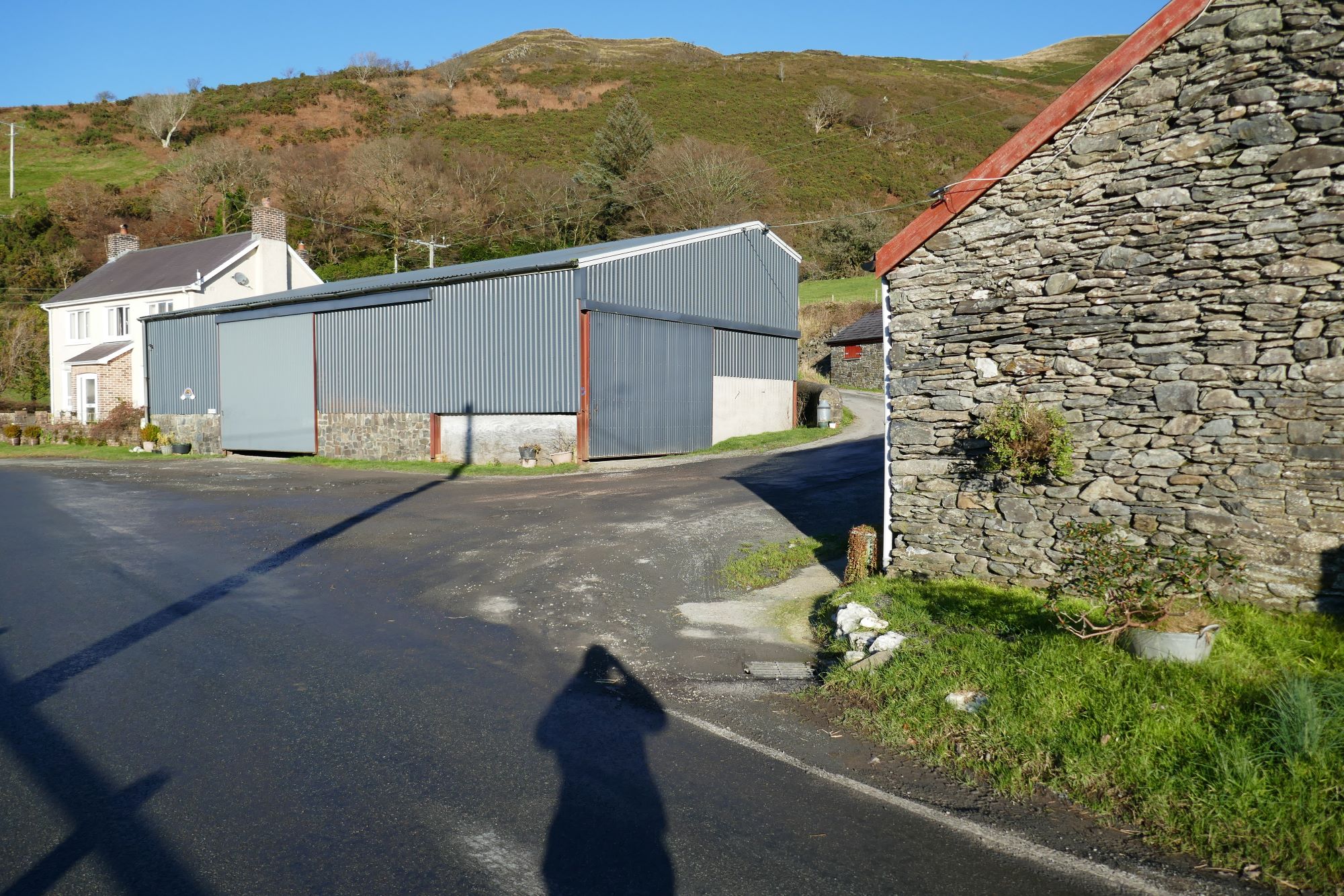
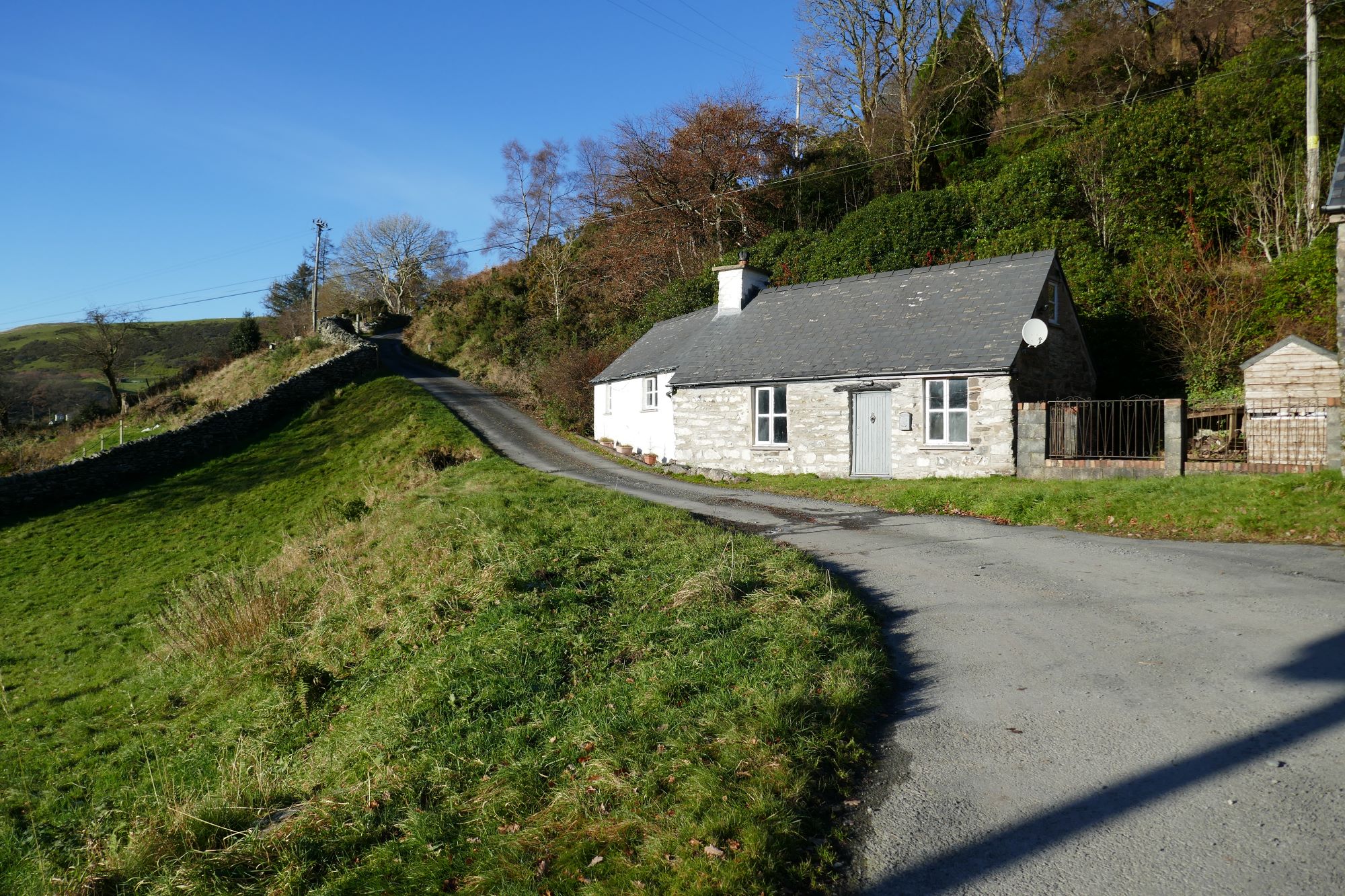
At the t-junction, turn left, and after about 200m, take the second on the right, then left, to pass behind the large metal barn on a small tarmac lane. Follow the lane bending round to the left and uphill in front of the white stone cottage ahead.
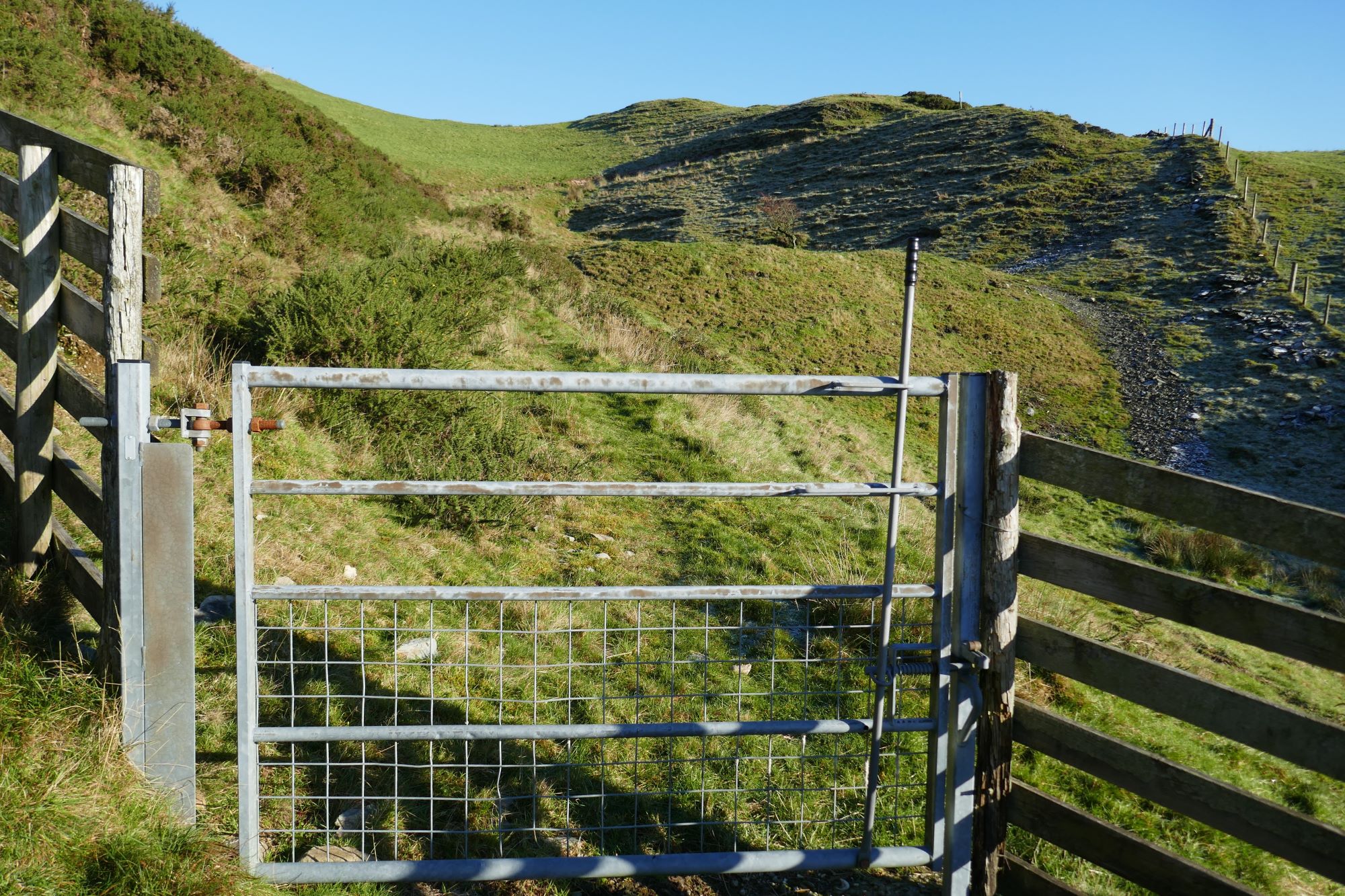
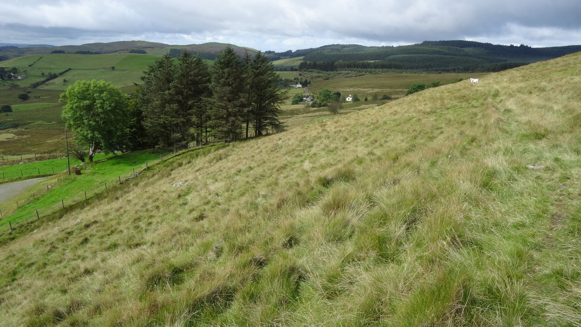
A little way up here, spot a metal farm gate on the left hand side of the lane, and opposite this across the lane you should see the start of a grassy footpath, rising diagonally up through the undergrowth and leading almost back on yourself. This path was very overgrown, but the footpath warden has informed me that this has now been cleared, so should be a lot easier to find and walk along. After a metal gate the path climbs gently but steadily above the village in a roughly straight line for about ½ km, into somewhat open country.
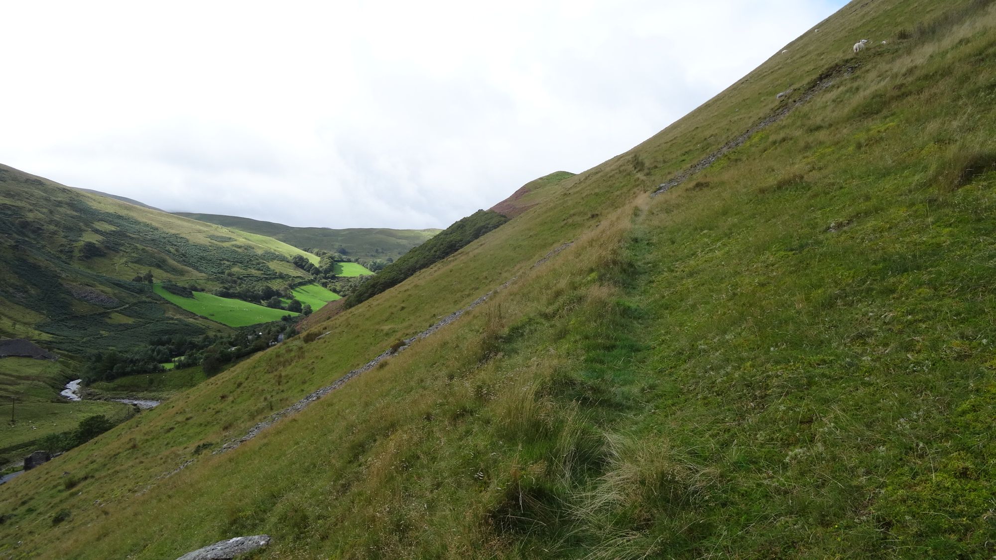
The path now bends round right and briefly becomes more difficult to follow and faint; keep going across the grassy shoulder, until you see a footpath gate over the brow of the hill. Descending steeply from the gate the path picks up again towards the Ystwyth valley floor ahead, along the steep side of the hill (Glog).
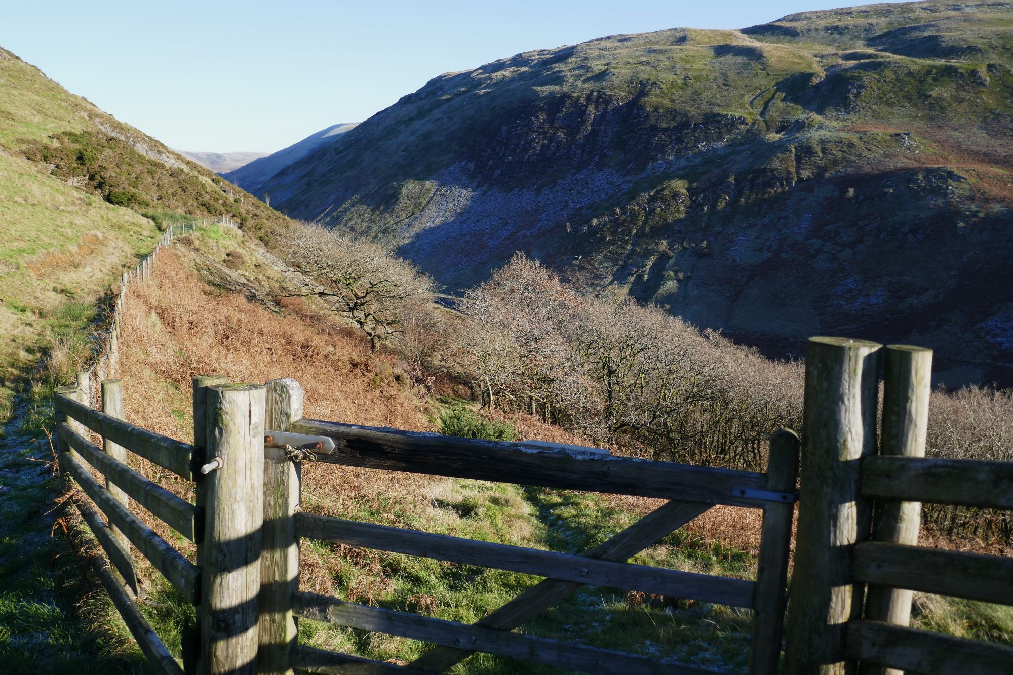
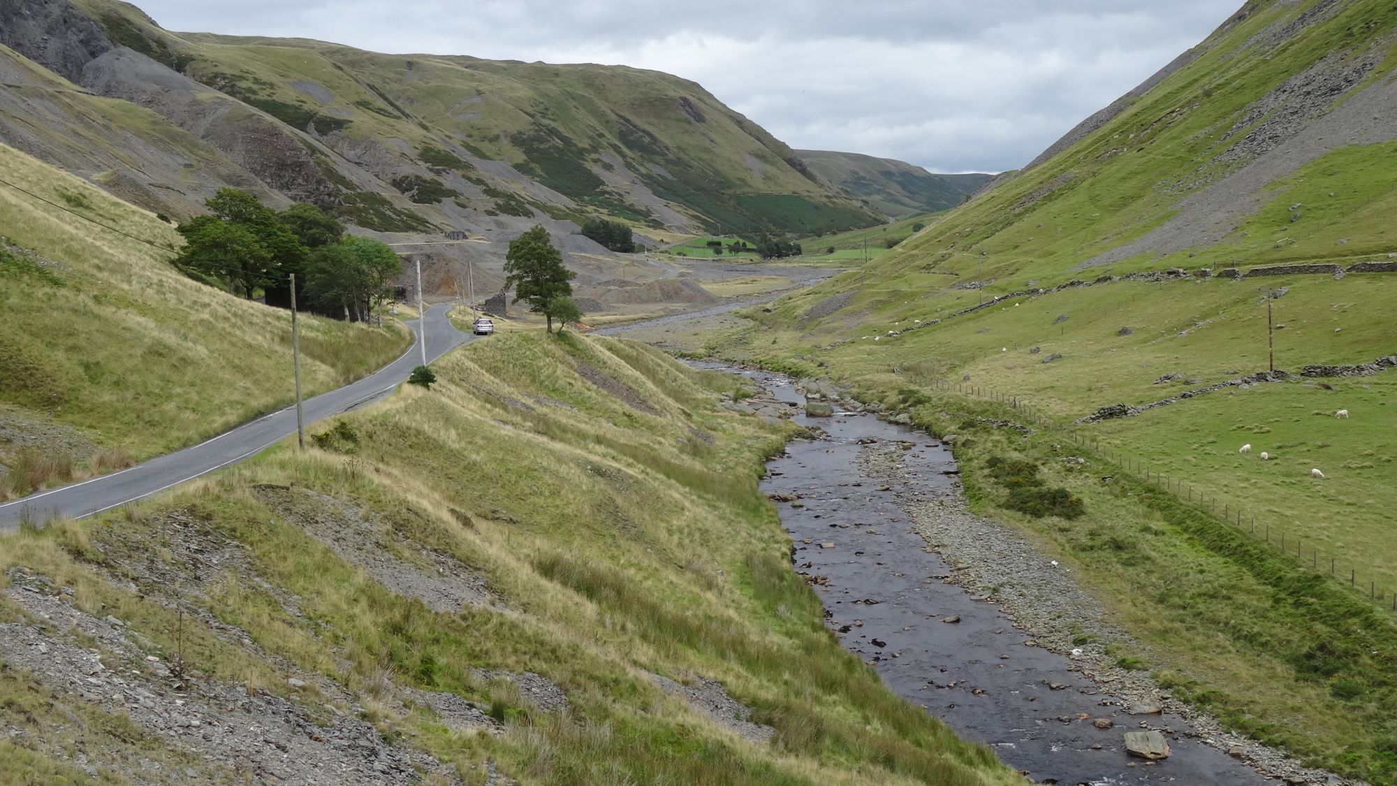
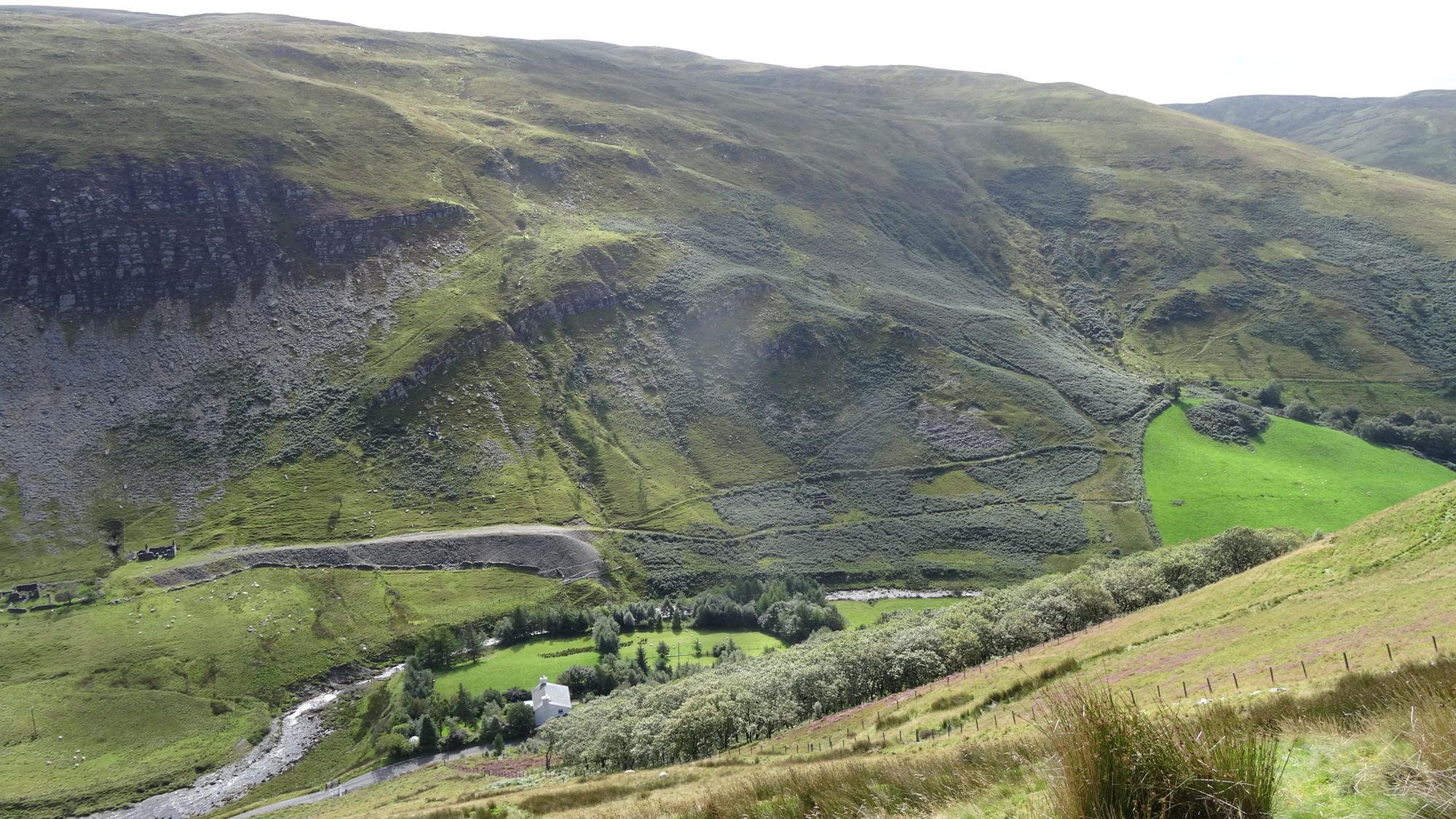
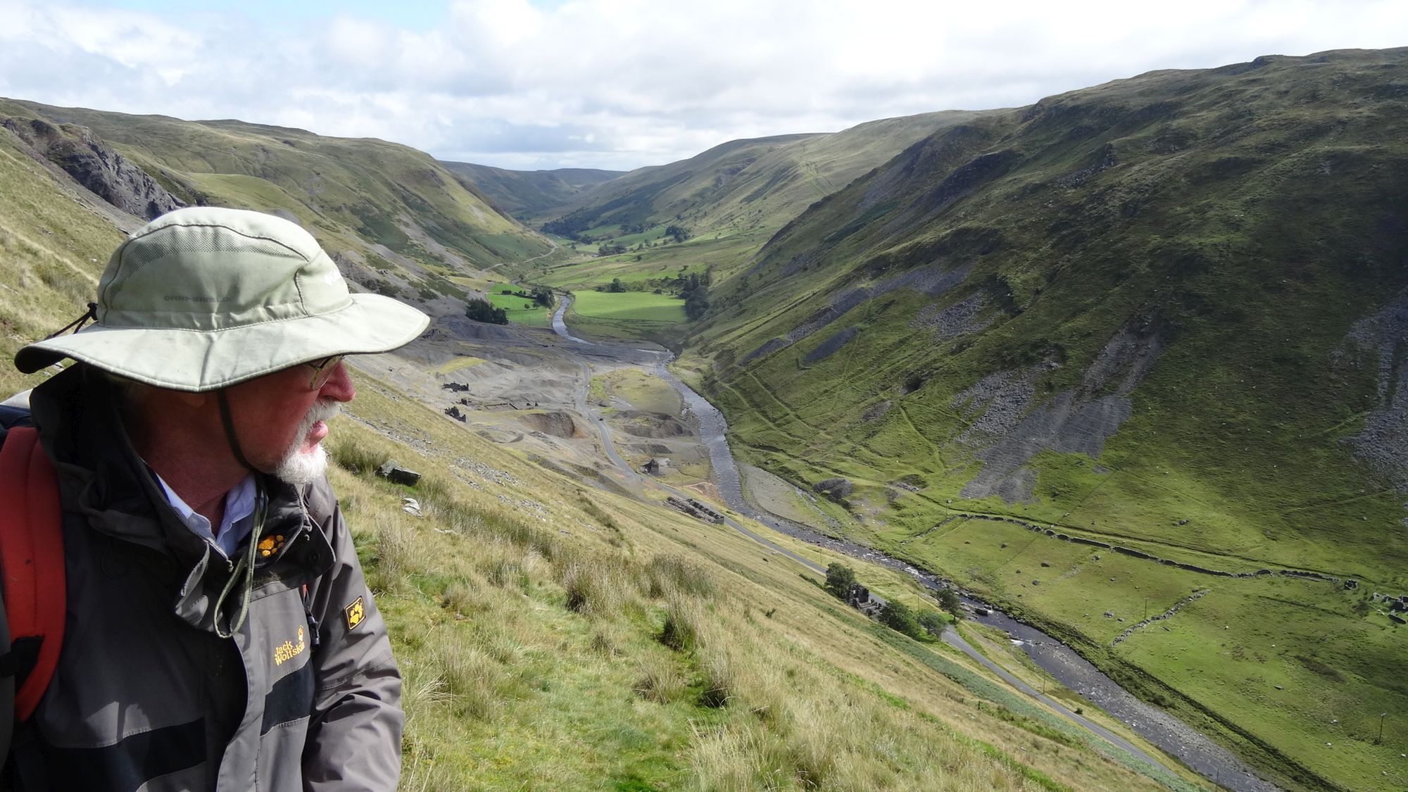
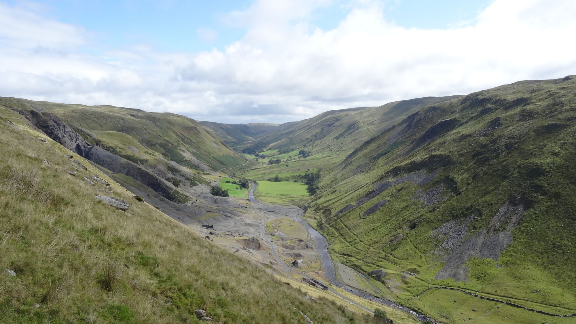
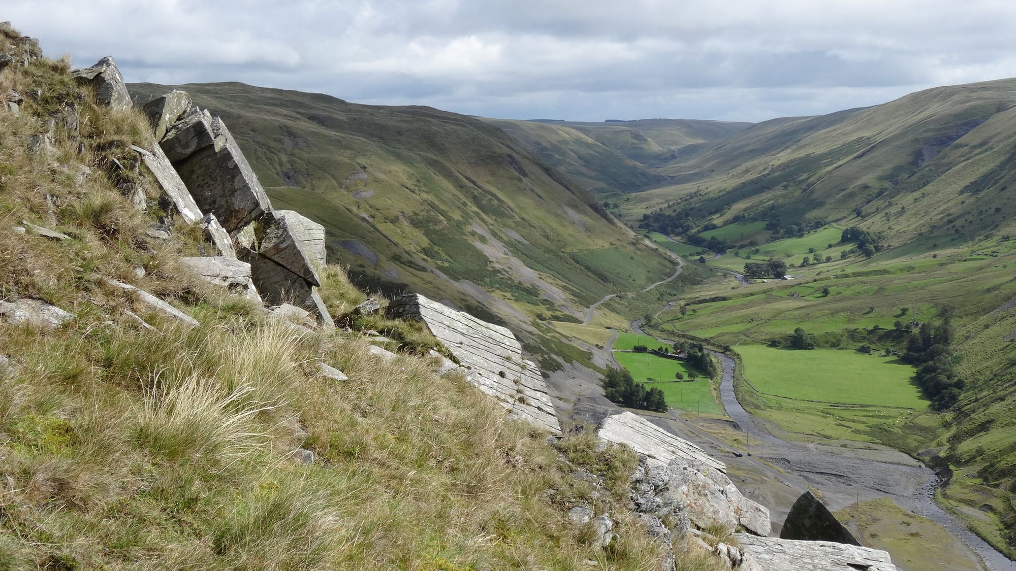
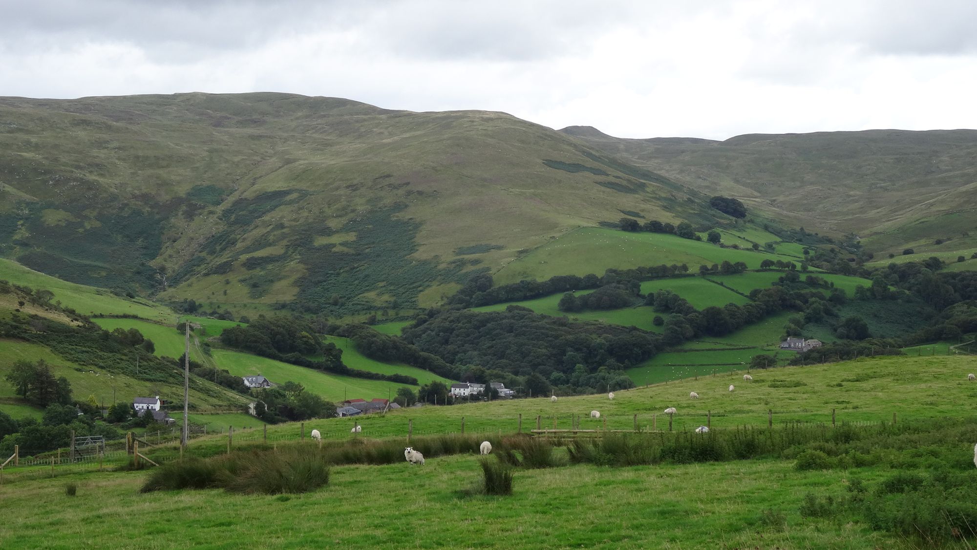
The path emerges onto the valley road, with the river down to your right, the huge desolation of the former Ystwyth lead/silver mine ahead in the steep-sided and impressive upper Ystwyth valley. Cross a cattle grid, then the road descends and bends slightly right, before you will see a ruined building on the left of the road amongst a few trees, and a layby and seat on the right, almost opposite.
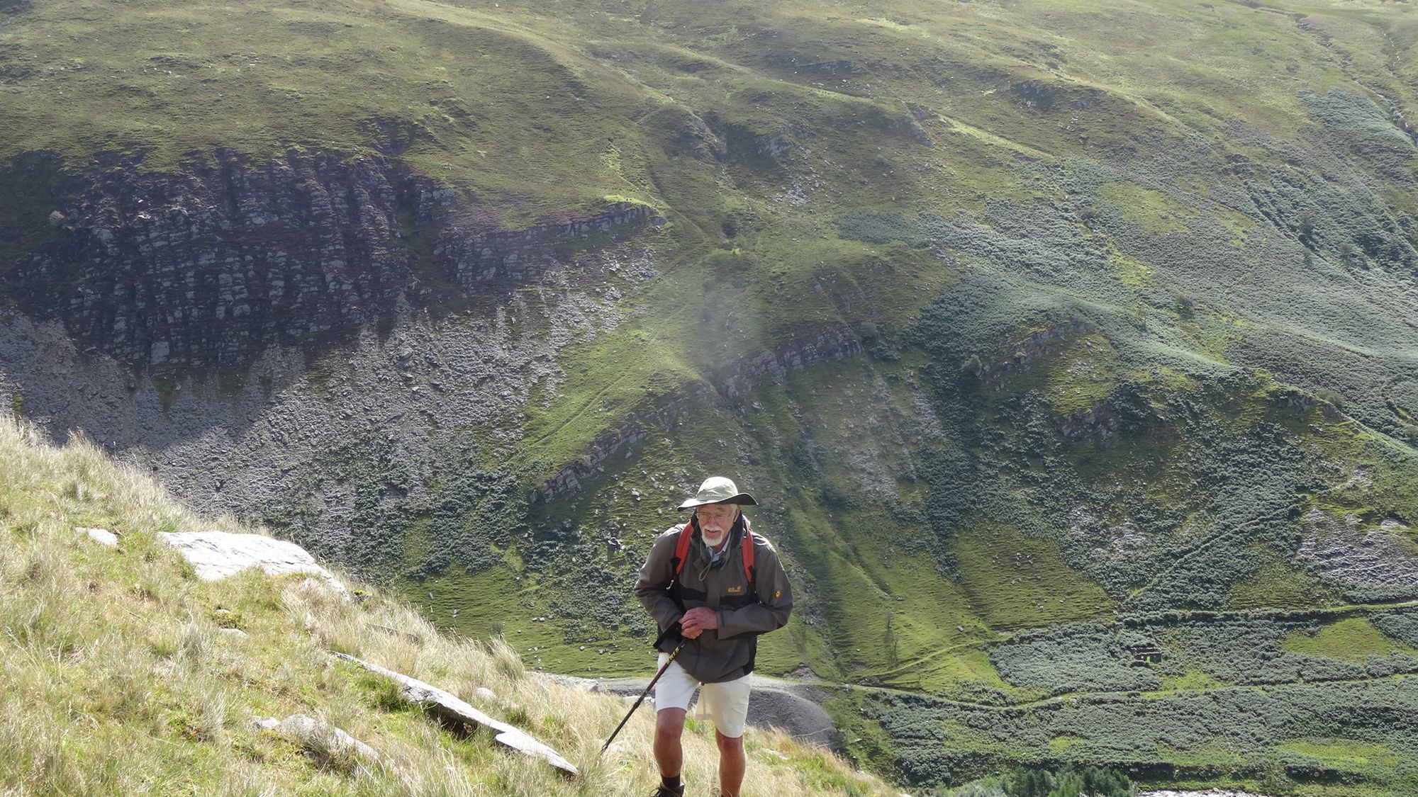
Immediately after the ruin is the path on the left where you start ascending the hill. This is steep, but quite clear at its lower level. Gaining height, you soon take the obvious hairpin to the left, and continue to climb, with the path getting smaller but still easy to follow.
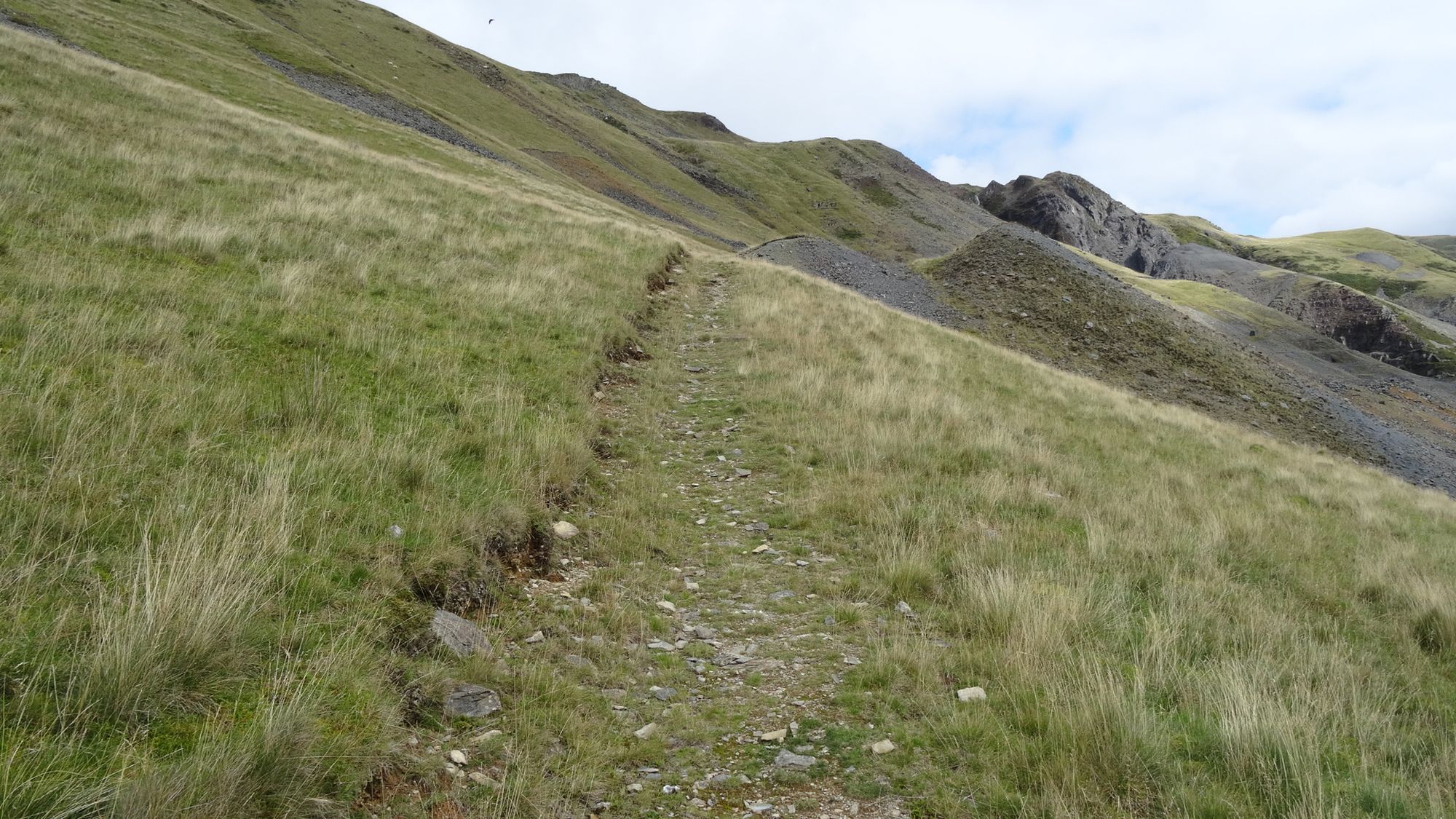
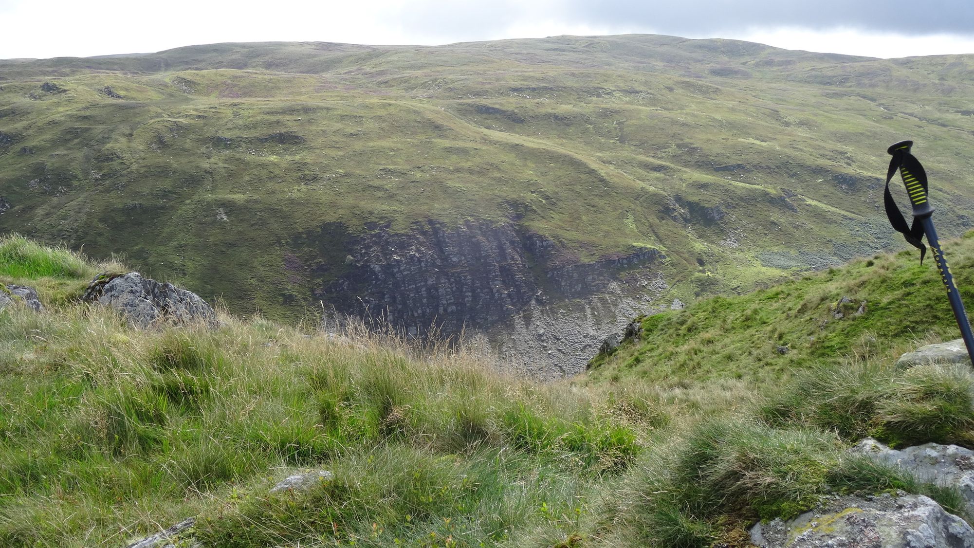
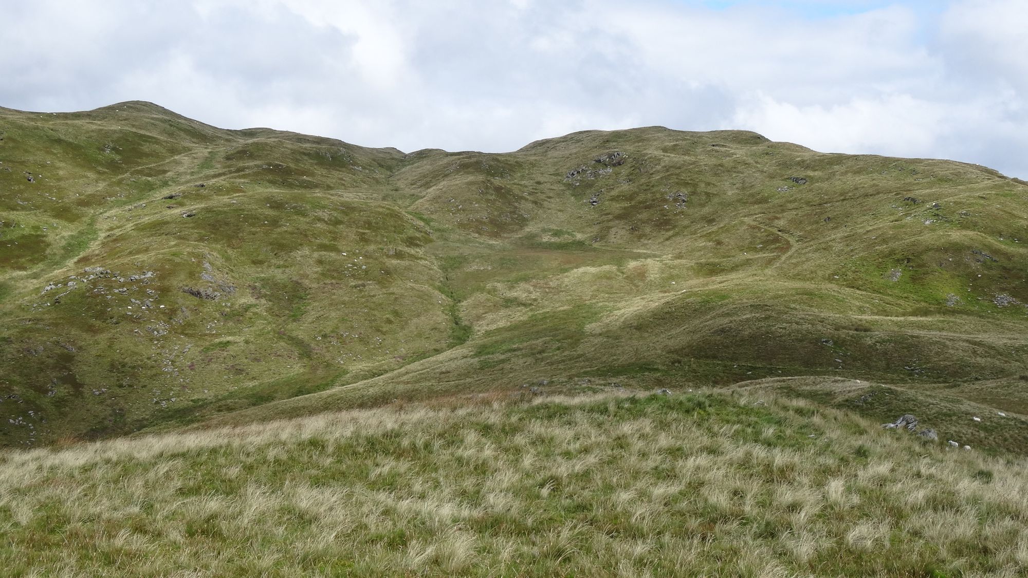
The path keeps ascending, with wonderful views in all directions opening out, curving round to the right slightly towards the bwlch between Glog and Graig y Ddalfa to your right. Gradually, the gradient eases as the path approaches a fence over to the left.
It is really a matter of taste where to branch off right heading towards Graig y Ddalfa summit…there is no path, but the slightly tussocky grass and rocks are quite manageable, but steep. Branching off early, where your path almost meets the fence, heading up under the crags is probably less tussocky but much steeper and rockier than choosing a line further along the path...spotting sheep paths to help out. Either way, after a few false summits, you arrive on the rocky spine, with the highest point at the far end at 448 m.
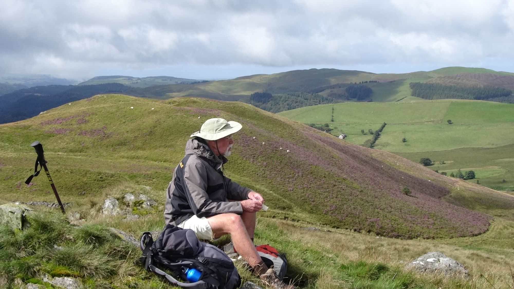
The views from the summit are wonderful, particularly peering down into the valley below from the edge of the low rocky and grassy ridge.
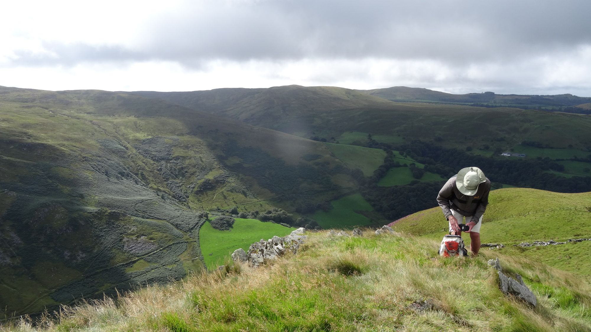
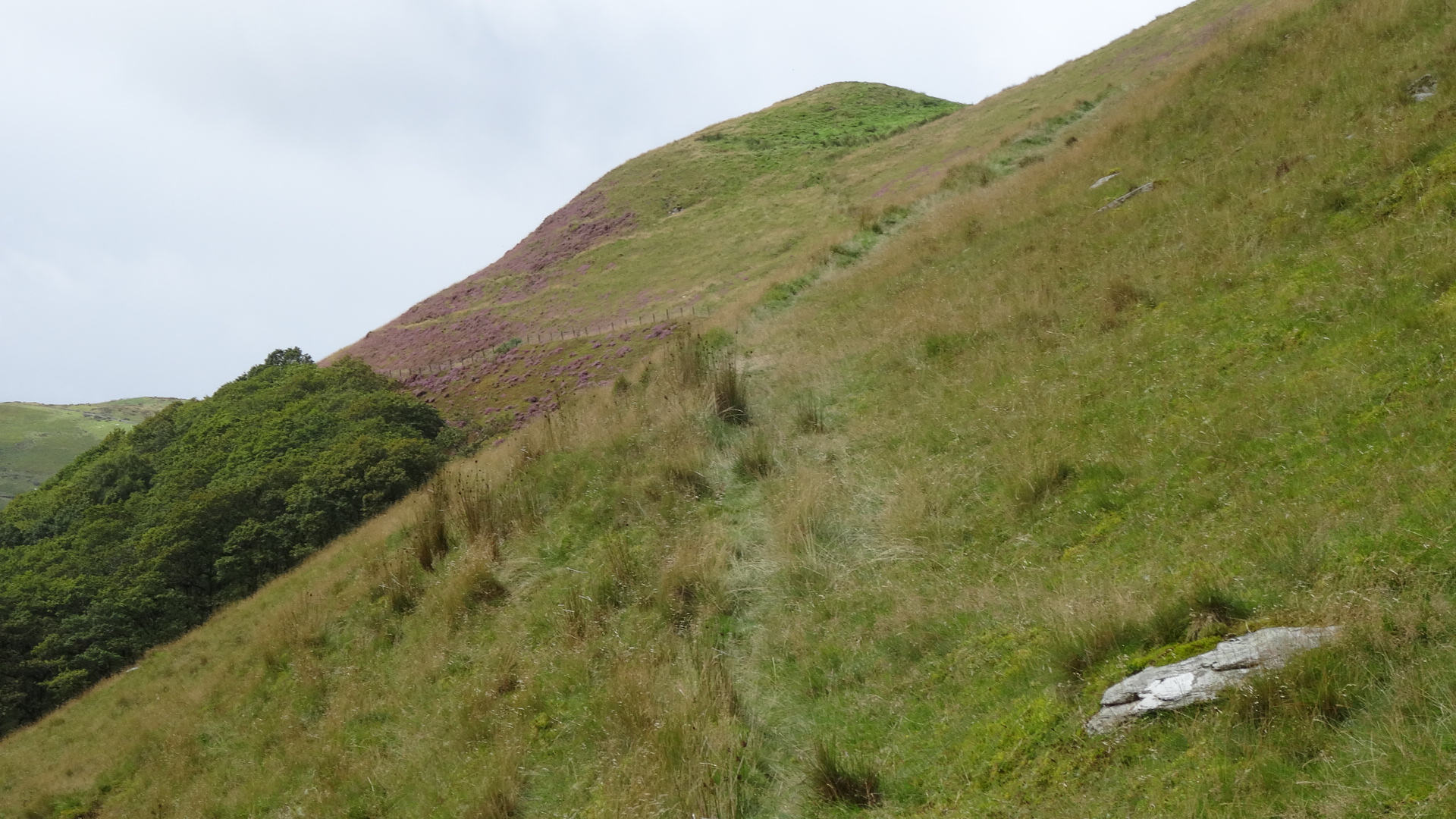
From the summit, head downhill NW to regain the original path further on and continue in a broad curve across the head of the small valley of Nant Gwndwn-gwyn towards Tanlan-fawr.
Avoid walking down to the farm where the track bends sharply left, instead continue on the now faint grassy track which passes well above it, arriving at the farm track and then the tiny tarmac lane from Cwmystwyth village. You can cut off the corner, dropping down to the lane alongside a wooden footpath signpost.
Turn left on the lane then immediately right off it again over a waymarked stile near a white cottage with green outbuildings. Cross what feels like its back garden to another stile which takes you into open grazing land.
You then meet another cottage, the path running to the left of it, and then meet the same tarmac lane again.

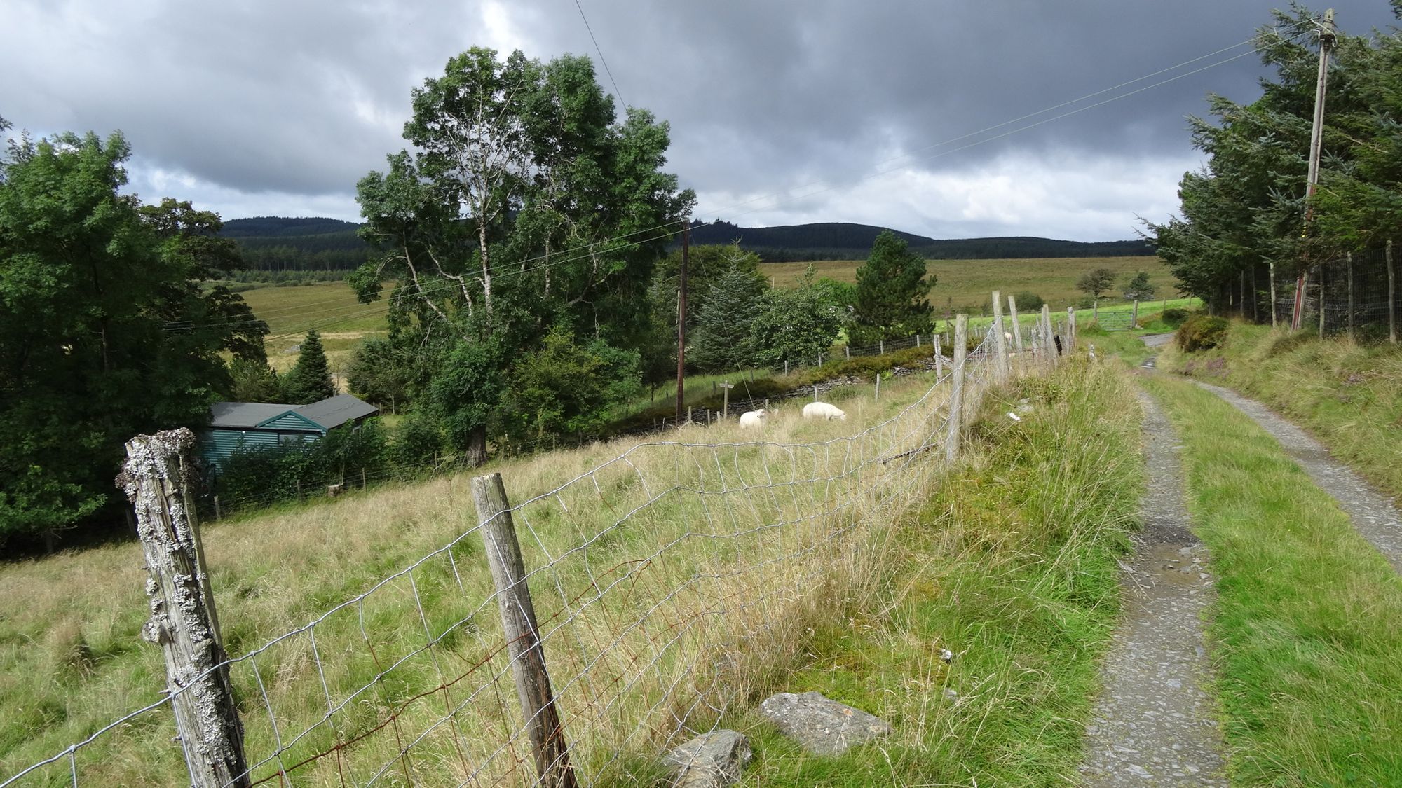
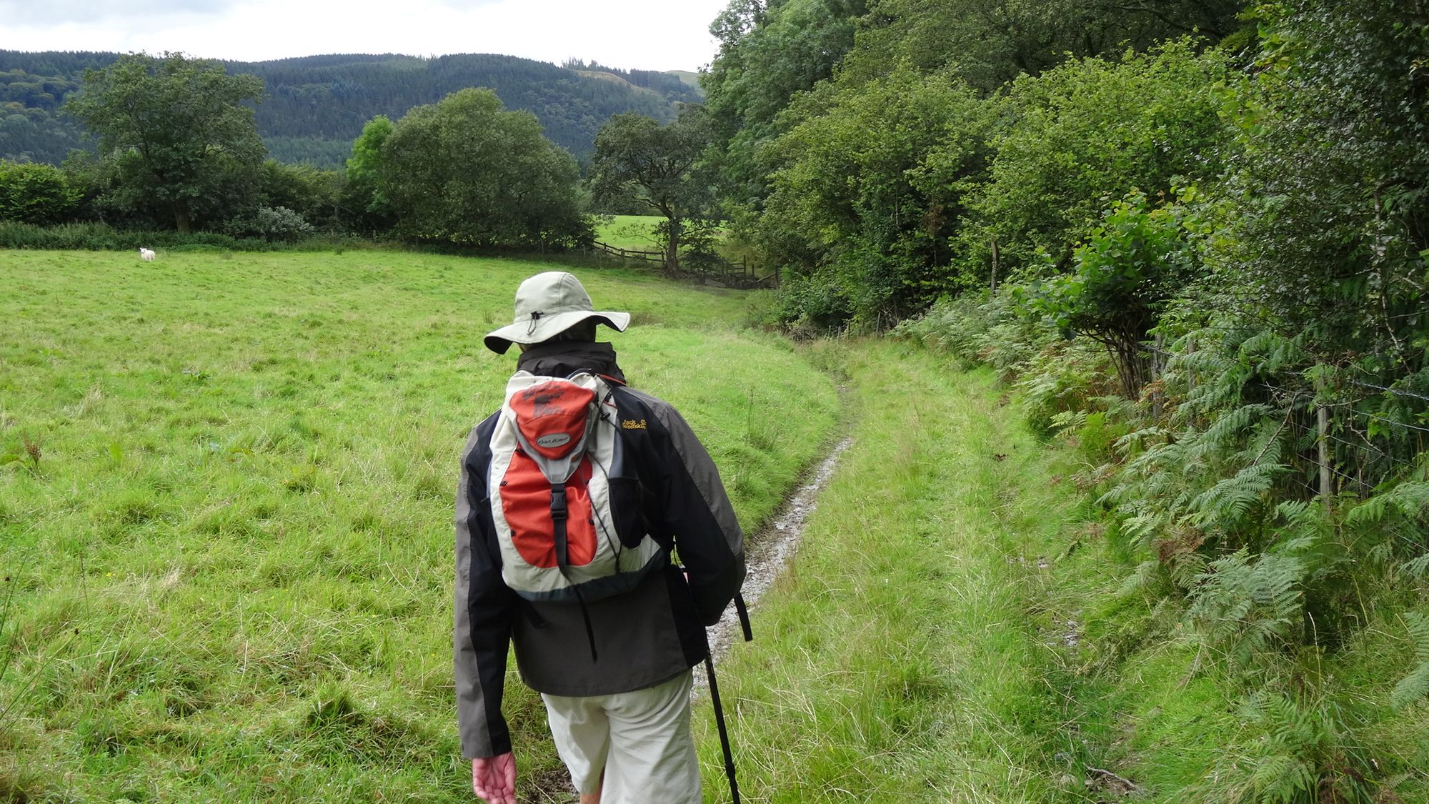
You can cut out the forest section that follows by keeping on this tarmac lane, turning left here. But otherwise turn right then immediately left on the lane, where you will see the path dropping down to a wooden footbridge, and then following a clear straight line via a couple more stiles and bridges across marshy land towards a forest boundary.
Walk about 3-400m along the forest path, until you arrive at a forest track crossing the path, and turn left onto it.
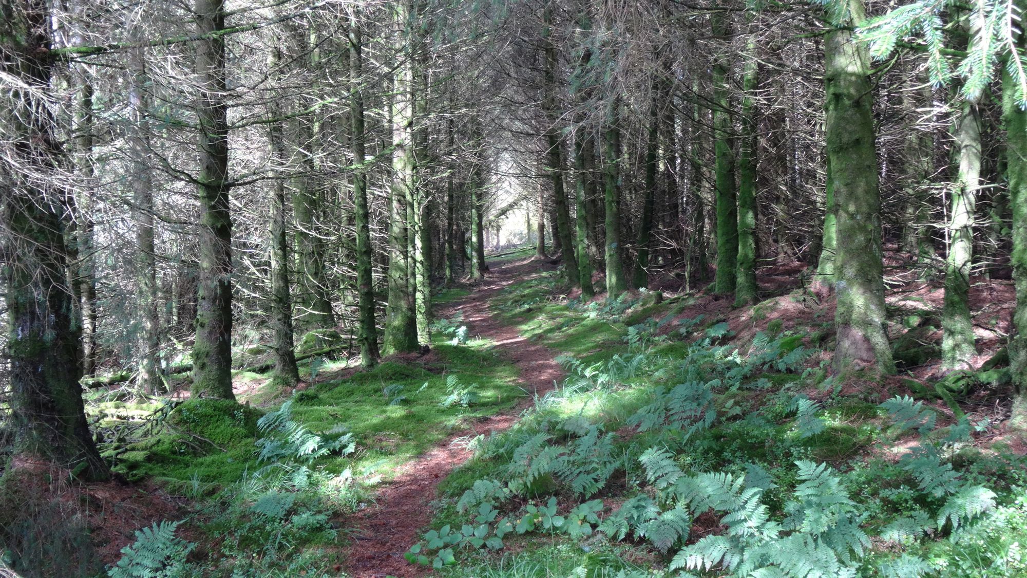
The view opens out rapidly as you walk downhill.
After about 600m, a path is clearly seen turning left, crossing a small stream, leading uphill, then emerging from the forest onto the same lane again, where we turn right.
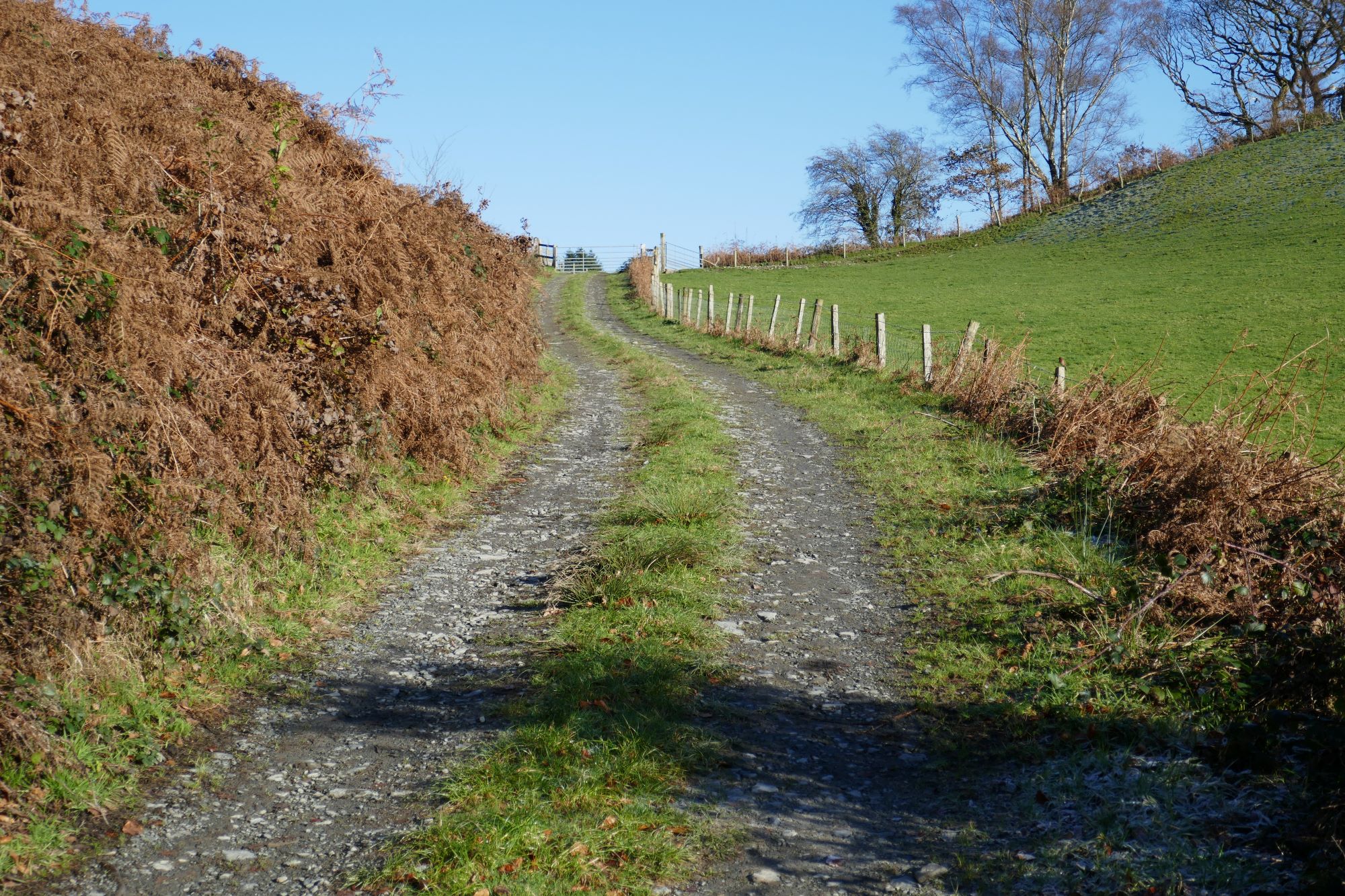
Follow the lane for about 750m, passing a small water supply facility on the left; very soon after this, go through the gate off the lane into the pasture to the right. If you wish to cut out the short section across the grassy shoulder, keep on the lane, and turn right at the bottom where it joins the B4574.
The faintest of paths leads on, contouring round the shoulder of the hill, then dropping down quite sharply to a derelict gate through to the next field, which used to be followed by a stile onto the B4574. This seems to be missing at the moment, and you may have to find your way over the fence onto the B4574 further uphill.
A little way further up the B4574 past the derelict gate, spot a rickety overgrown stile leading off into the field to the left. Once over this, head down to the metal gates over to the right and pick up a permissive footpath/track which descends along the edges of four fields, until you emerge on to the B4574, via yet another metal gate.
Turn right, then round a left-hand bend, being careful of traffic.
Walk along the edge of the road carefully for about 600m, moderately uphill, until you arrive back at the car park and starting point of the walk.
Comments (1)
Paul Campbell:
Jul 04, 2024 at 11:55 AM
Wow that was a really nice looking walk, such stunning scenery. Sorry to hear about your friend, but its good you have included them here