


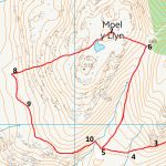
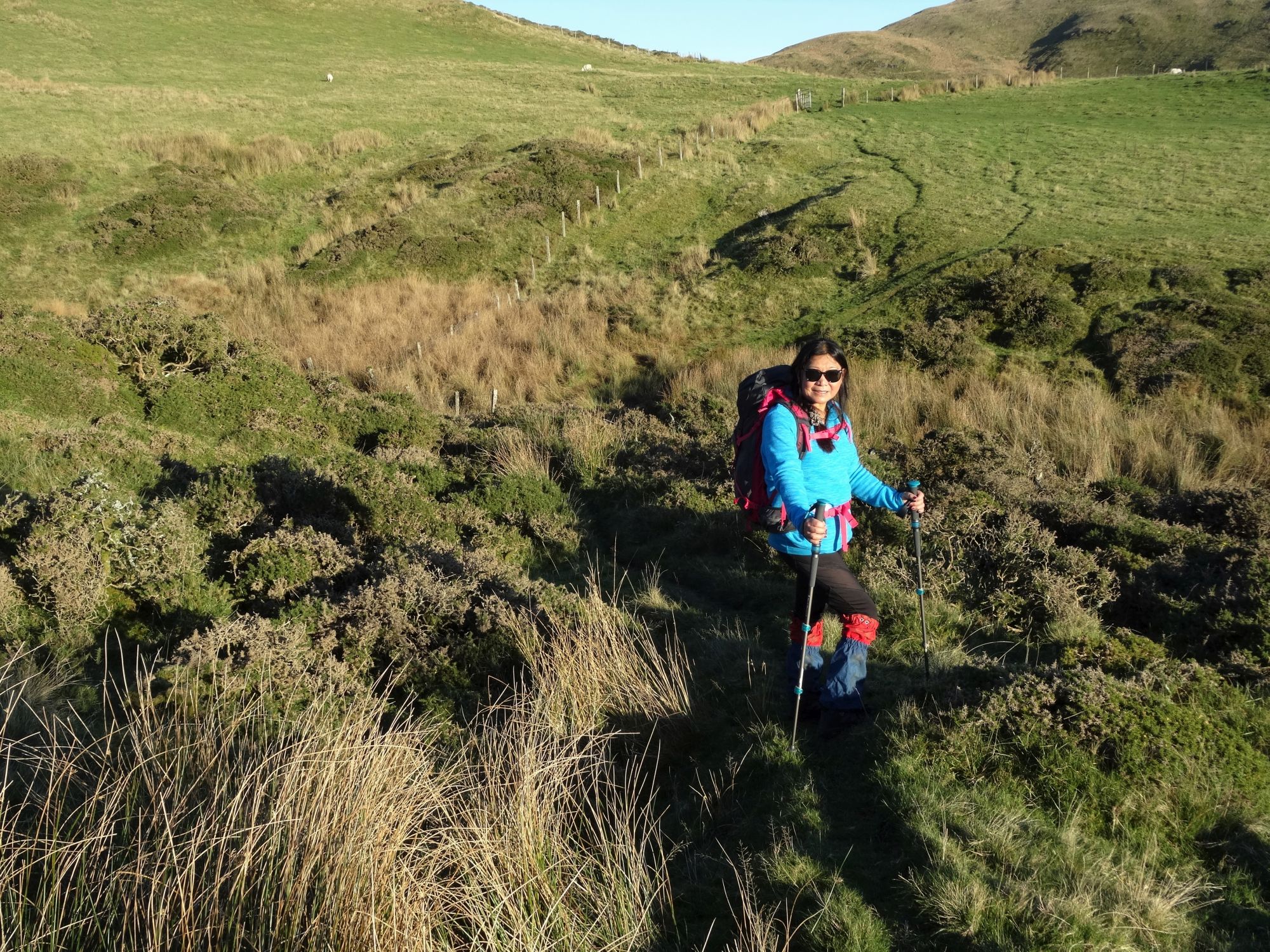
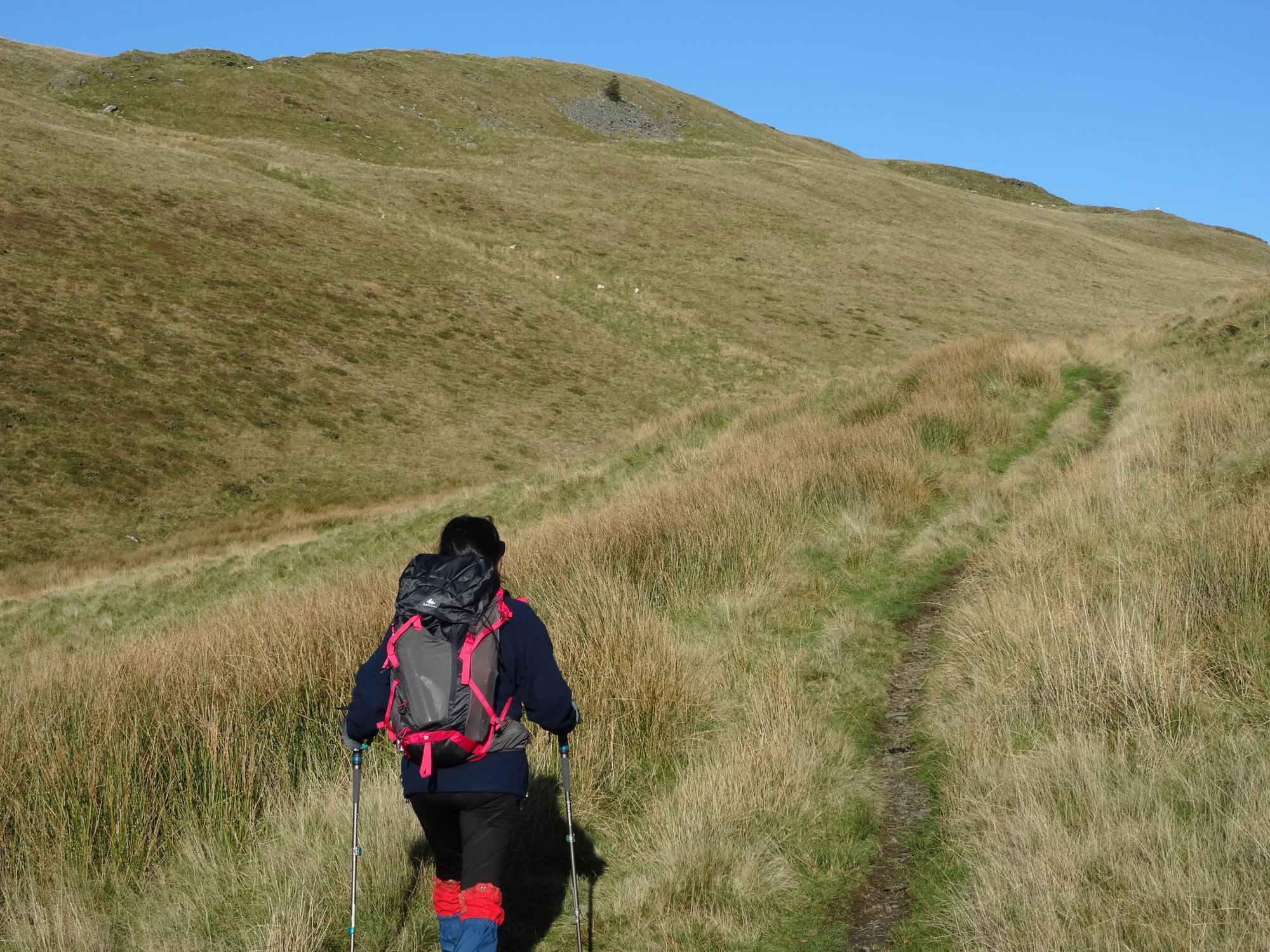
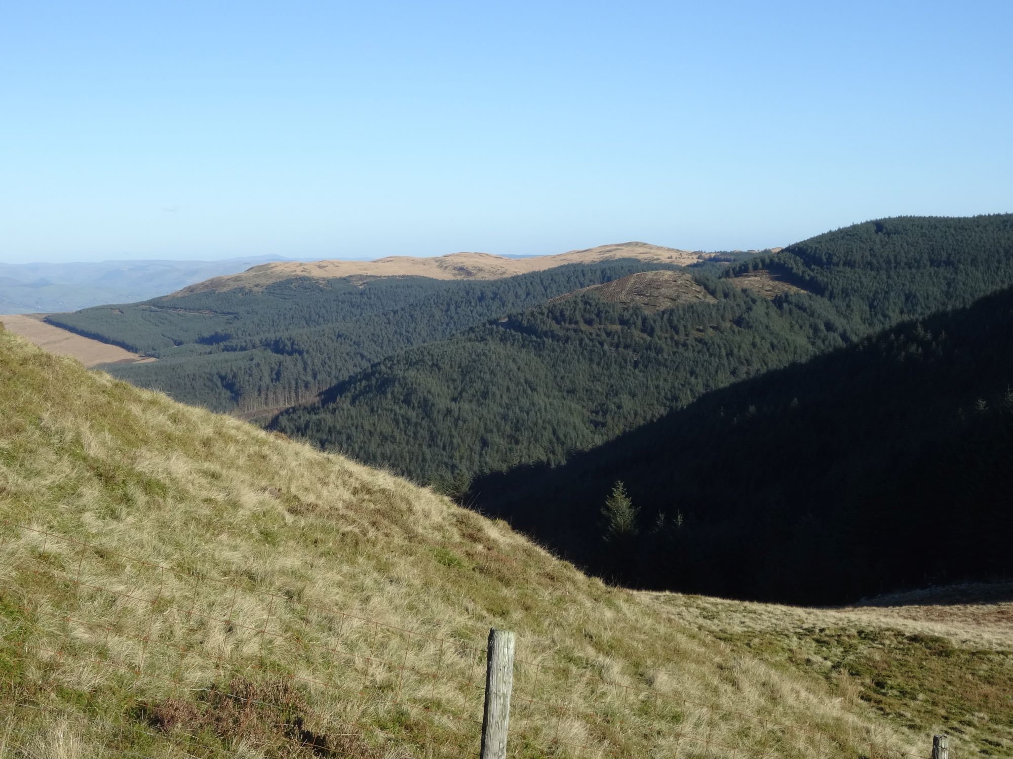
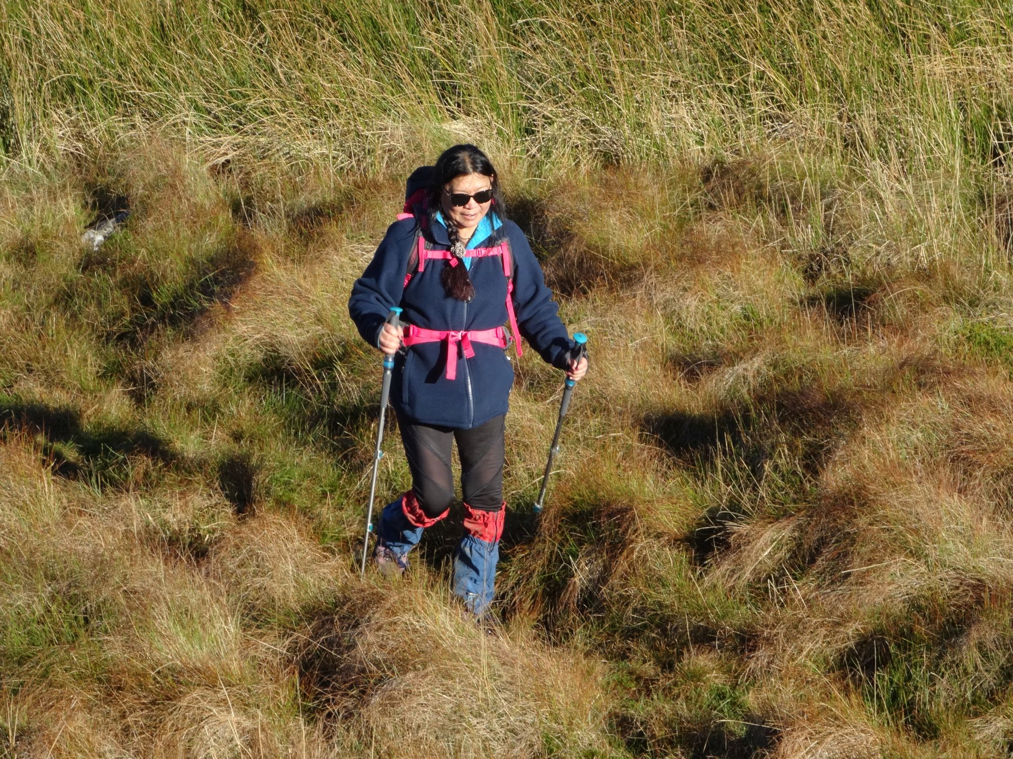
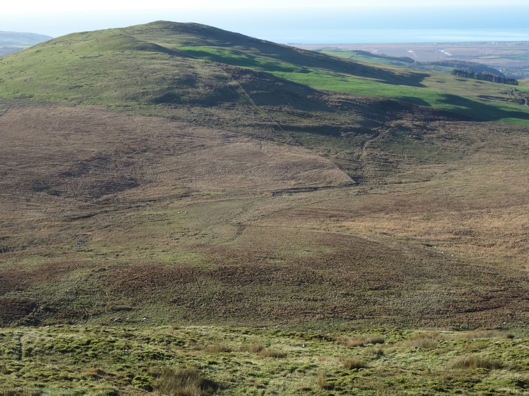
Moel y Llyn is a characterful hill… in the graceful-looking range that overlooks the Dyfi estuary on its southern side. As with many of the walks on this site, you have to be prepared for broken or wobbly stiles, boggy areas, and streams to be jumped across, with some heavy going through tussocky grass, particularly at lower levels. On this walk there are the additional minor irritations of a half kilometre stretch of path with overhanging calf-length gorse (wear gaiters if you hate the prickles… a good idea anyway), and a section where old rusty smooth-wire fences cut across the line of the right of way and have to be climbed over. A mobile with GPS and the OS app is very useful at this point. Against that, the route has a lot of positives, with gorgeous views down Cwm Ceulan at first, a proper path to the main
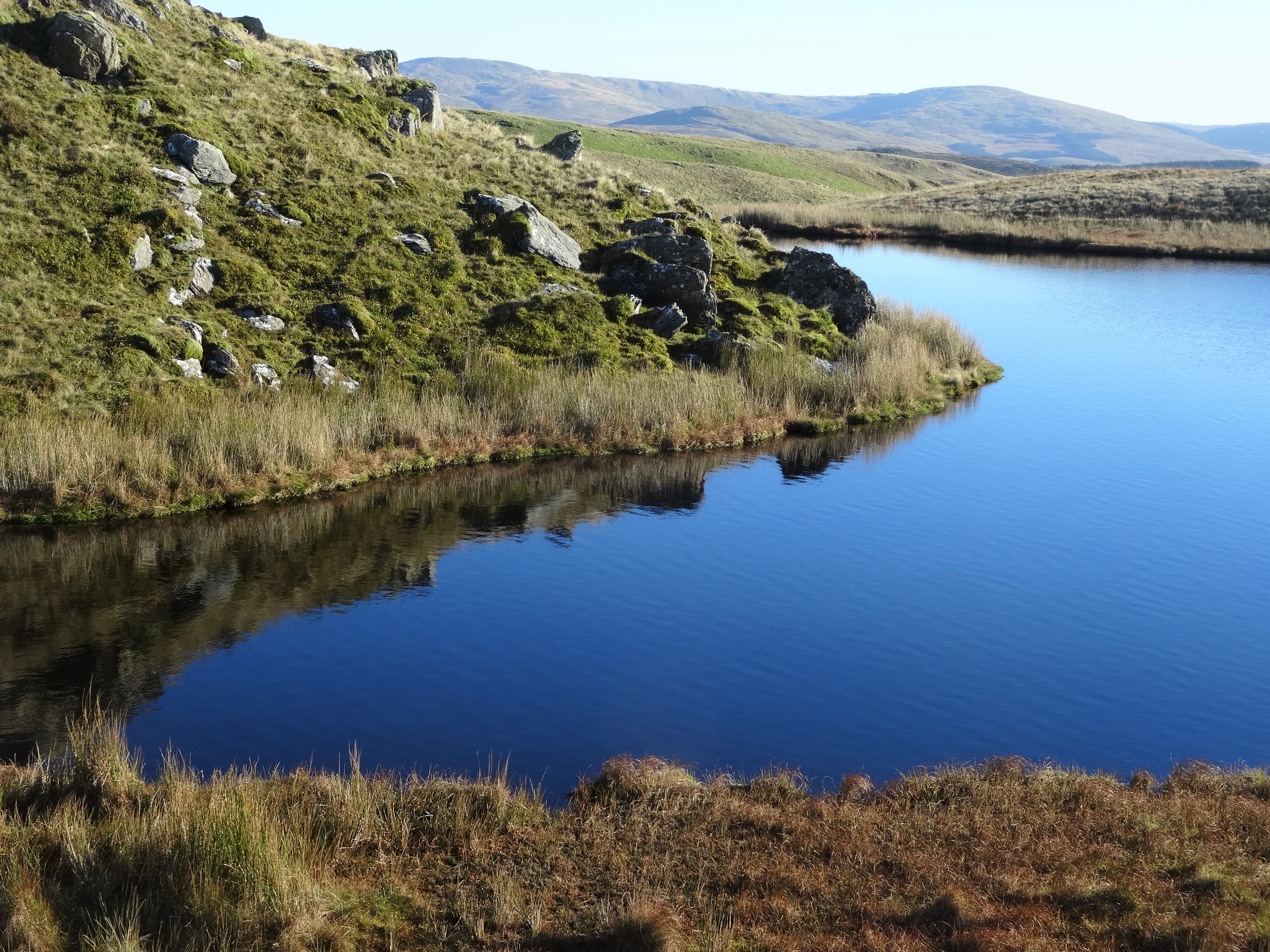
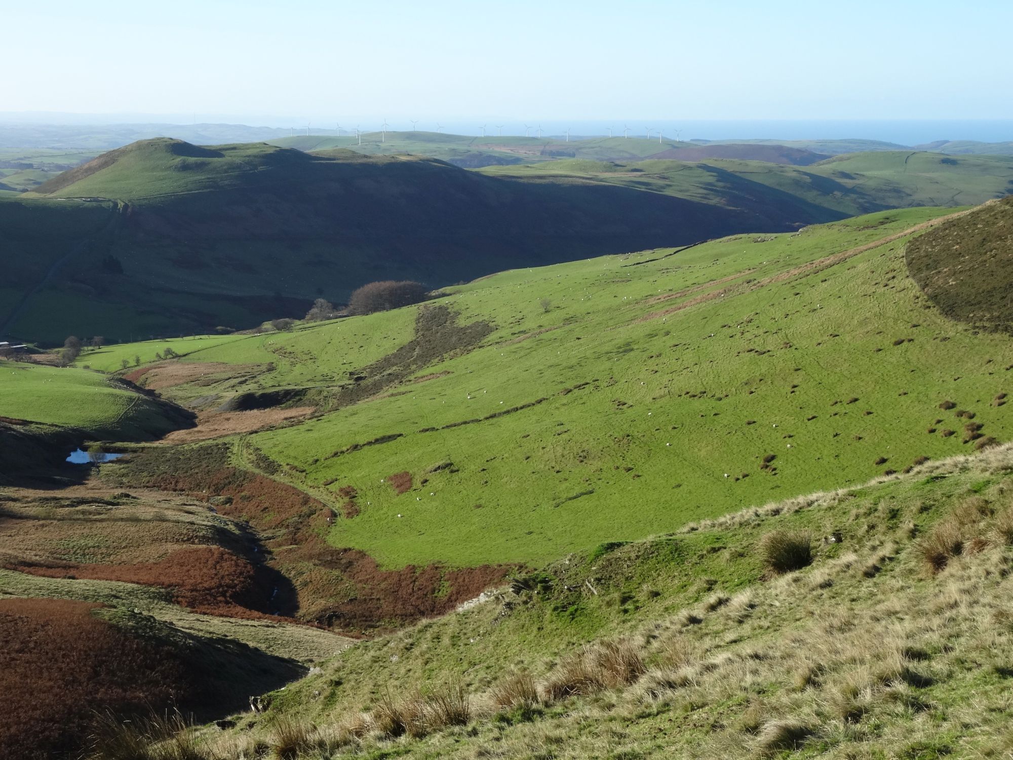
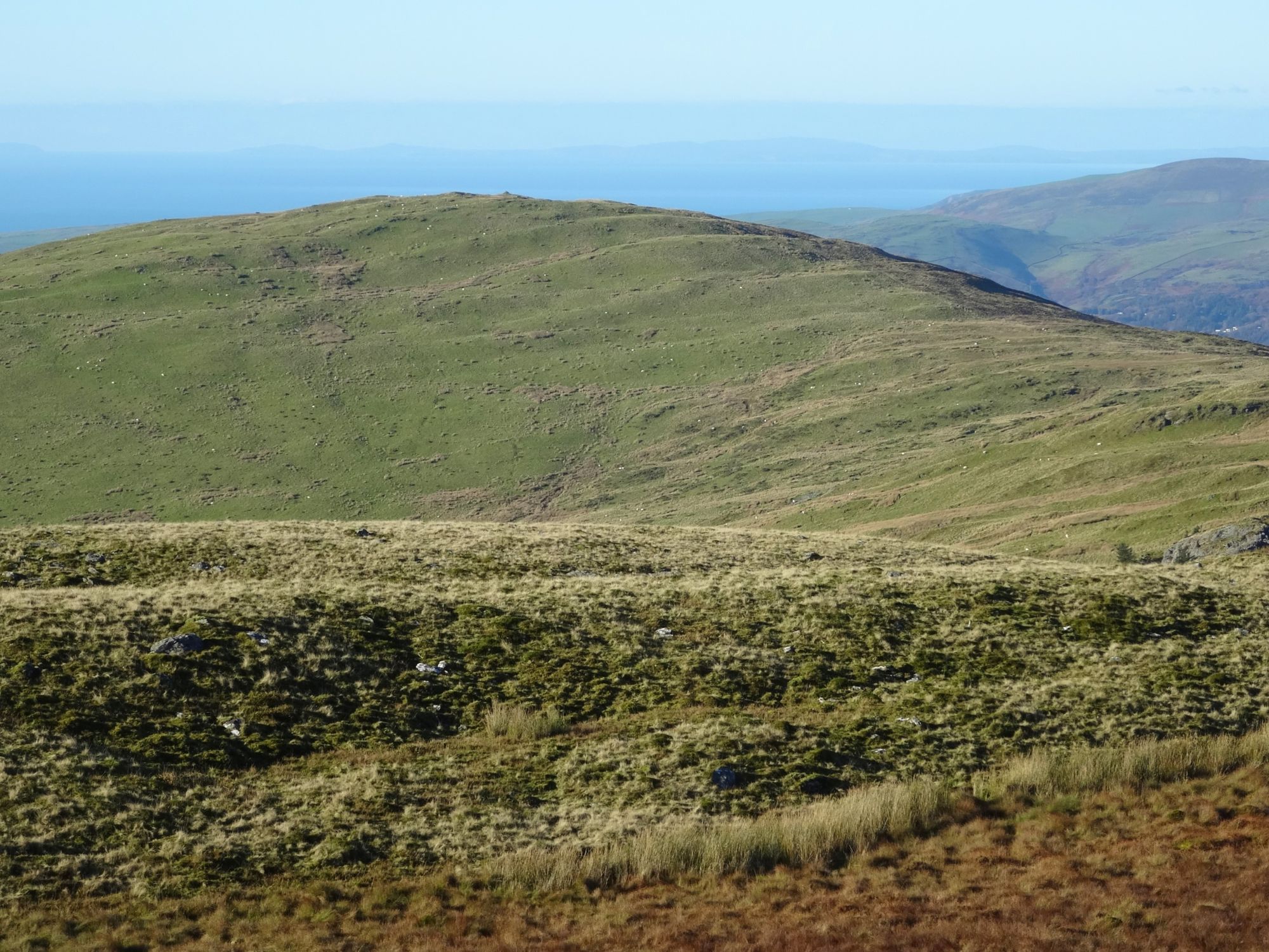
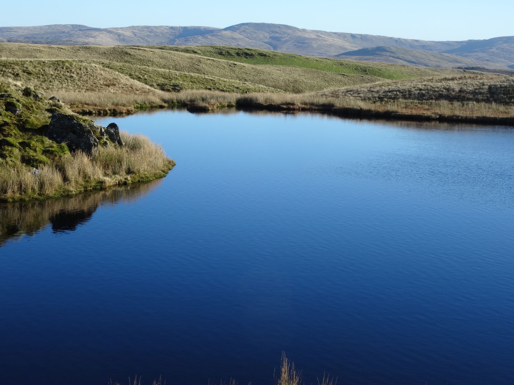
summit, then from the top a wonderful 360° panorama taking in the Dyfi estuary and the sea, Cadair Idris, Aran Fawddwy, and Pumlumon. An additional bonus is a beautiful little tarn sitting in what looks like (but isn’t) a volcano caldera on the summit. There is also the possibility of making this much more challenging by adding two more tops and an extra 4.5 km, but not having to decide until you get to the top of Moel y Llyn.
(opens in new tab):
of starting point :
To get to the starting point (if you are coming from Aberystwyth) it is best to take the mountain road from Talybont signposted to Nant y Moch. Park on the wide margin where the road swings right, with a track towards Angler’s Retreat straight ahead.
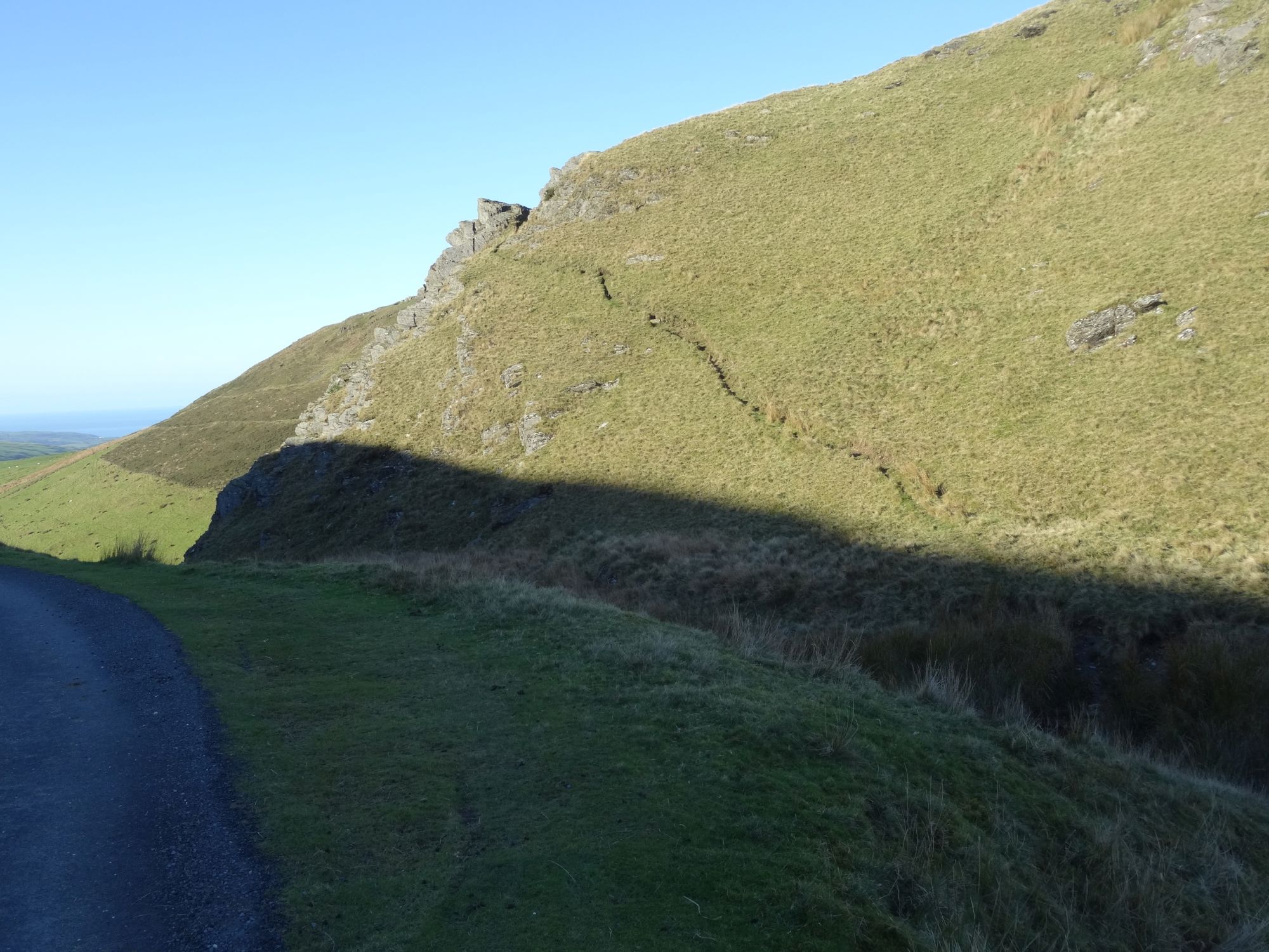
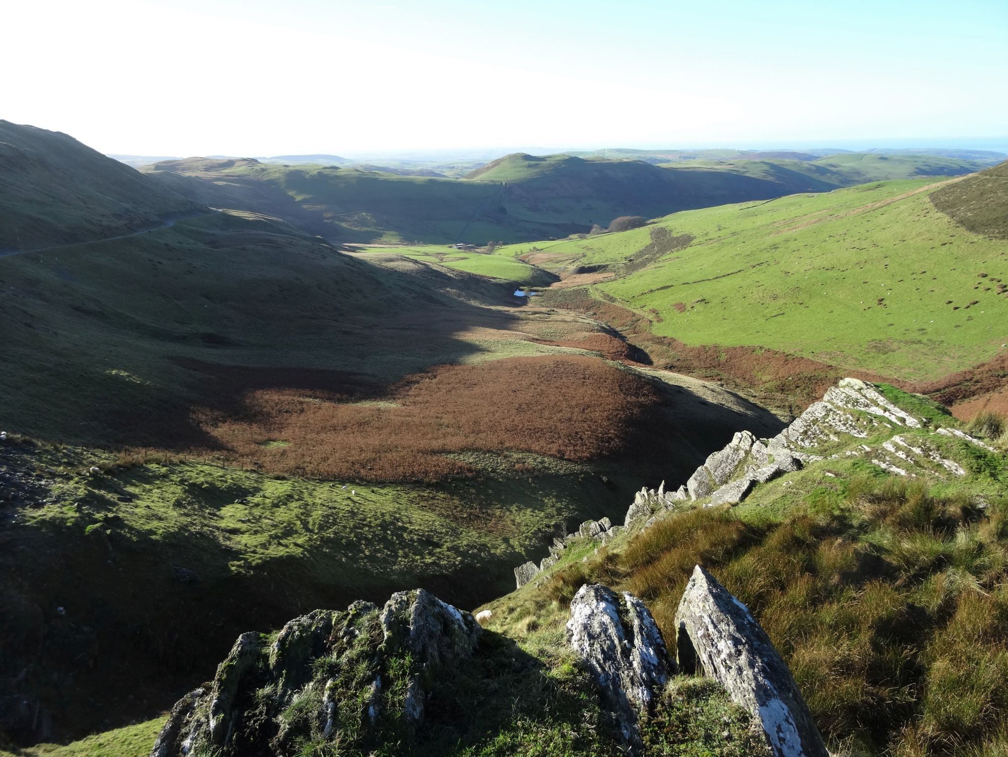
From the junction of the mountain road and gravel track to Anglers’ Retreat, DO NOT attempt to follow the map right of way, as it leads through impossible boggy ground. Instead, walk back down the road you drove up for a short distance, and notice a small steep path leading diagonally up the crag to the right. There is an obvious place to drop down to the stream of the Afon Ceulan, and a reasonable dry leap across it is possible in a couple of places. Then, follow the narrow, slightly ‘edgy’ path up the crag, admiring the lovely view of Cwm Ceulan as you go.
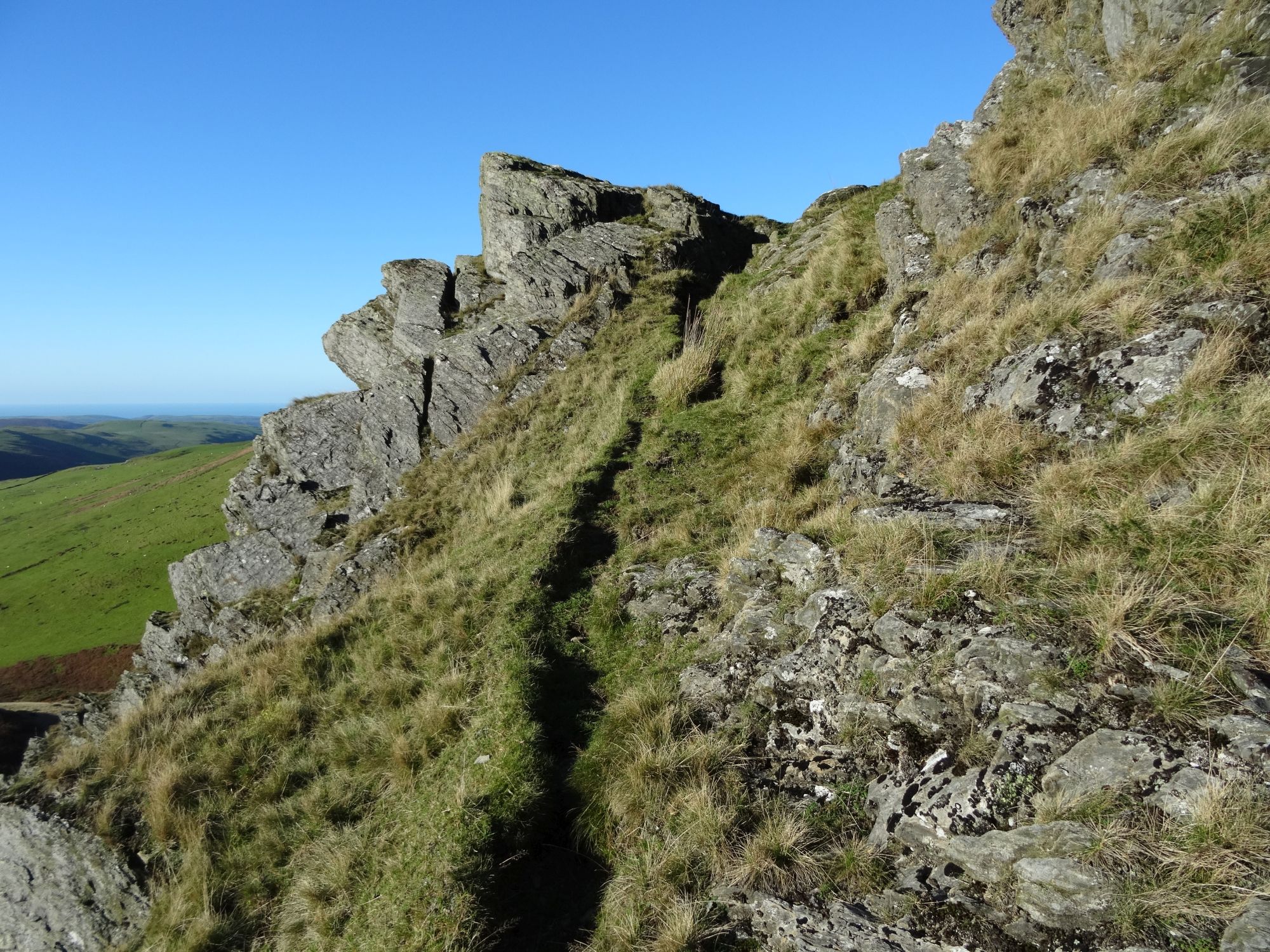
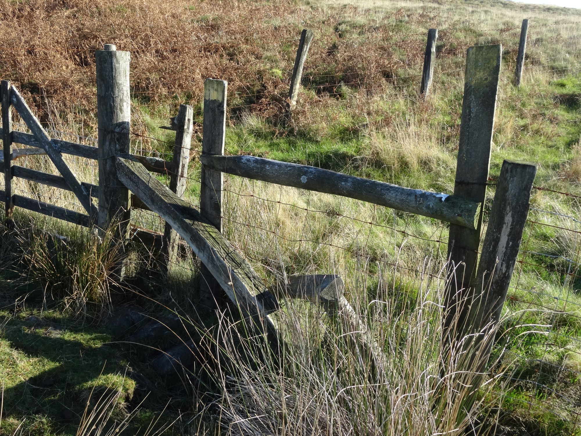
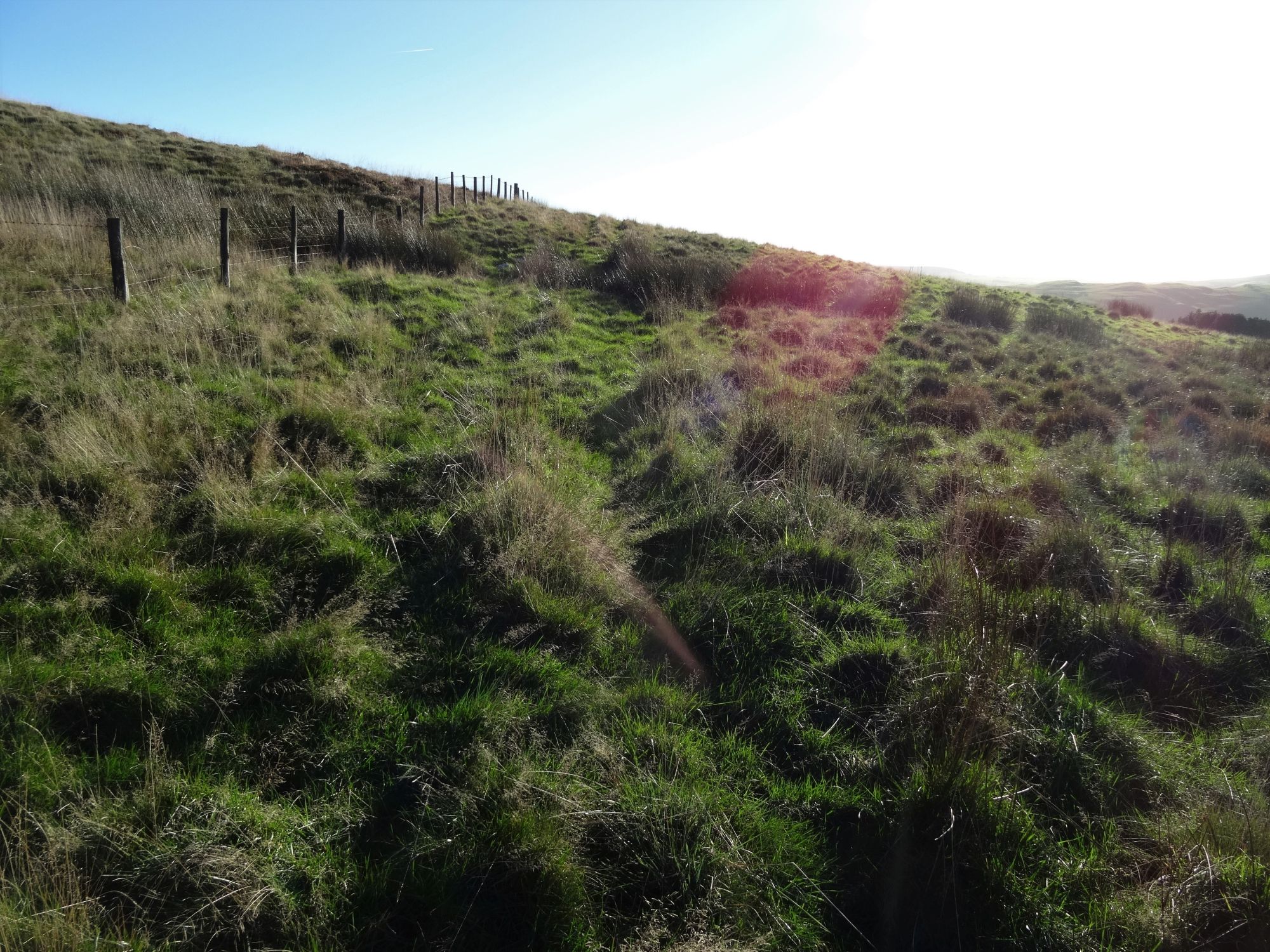
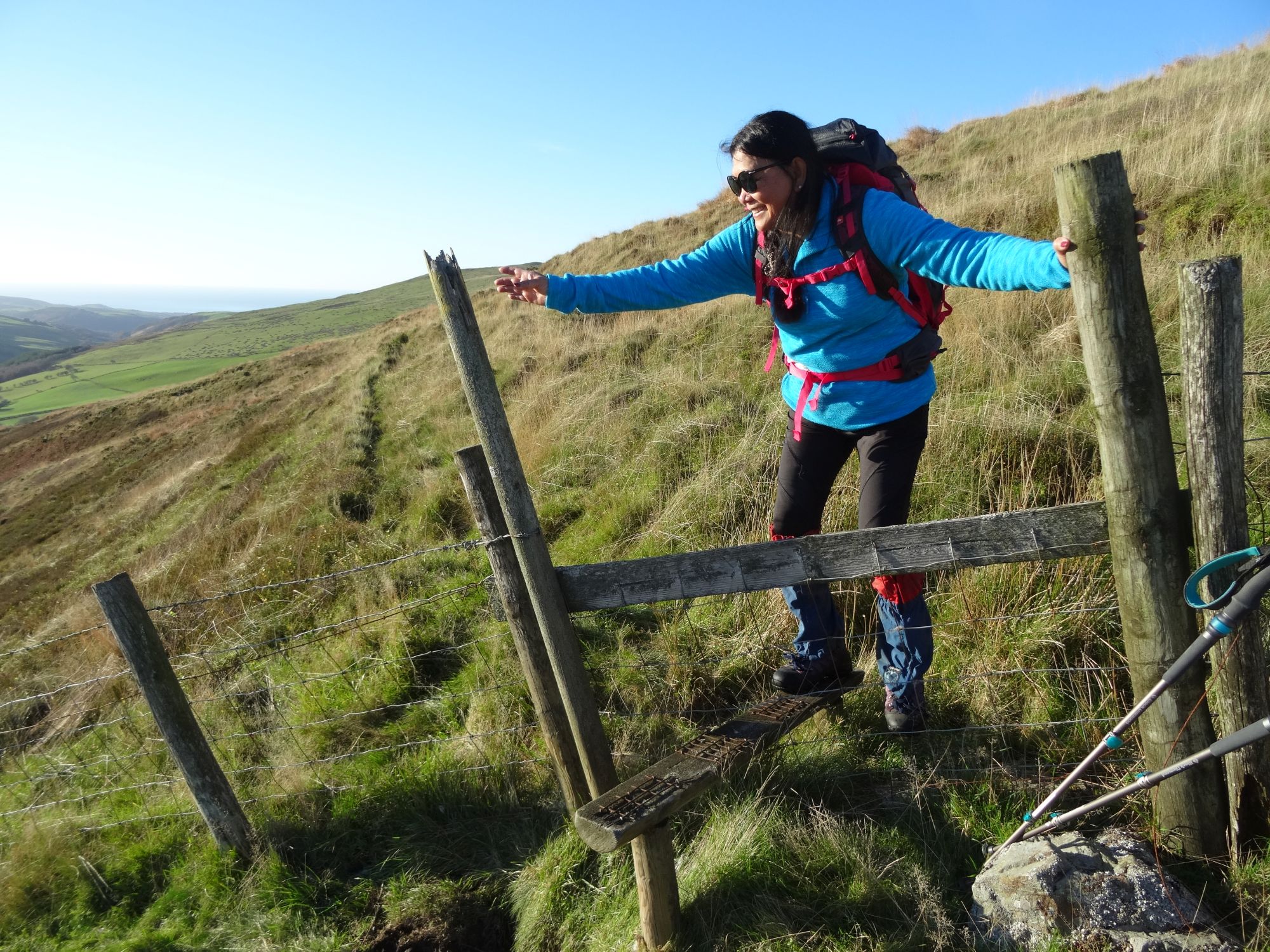
Find the best way down the other side of this first craggy section towards an obvious path coming in from the right, and follow this, descending towards your first derelict stile. After this point, follow the path along the level contour, clear at first, then through a long stretch ridden with low gorse (see Introduction)
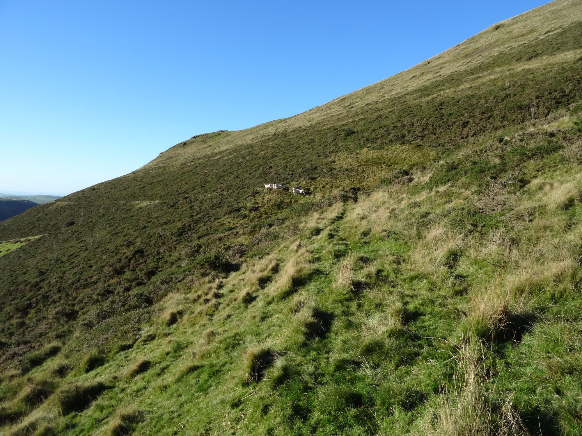
Soon after the gorse peters out, the path drops down to a fence on the left, and you cross yet another broken stile. Now there is no clear path, and you must follow the right of way as best you can. Head slightly downwards across the clear grazing land that follows, through a gate on the left, then head down right beside the fence line on something of a track, dropping towards a stream gully.
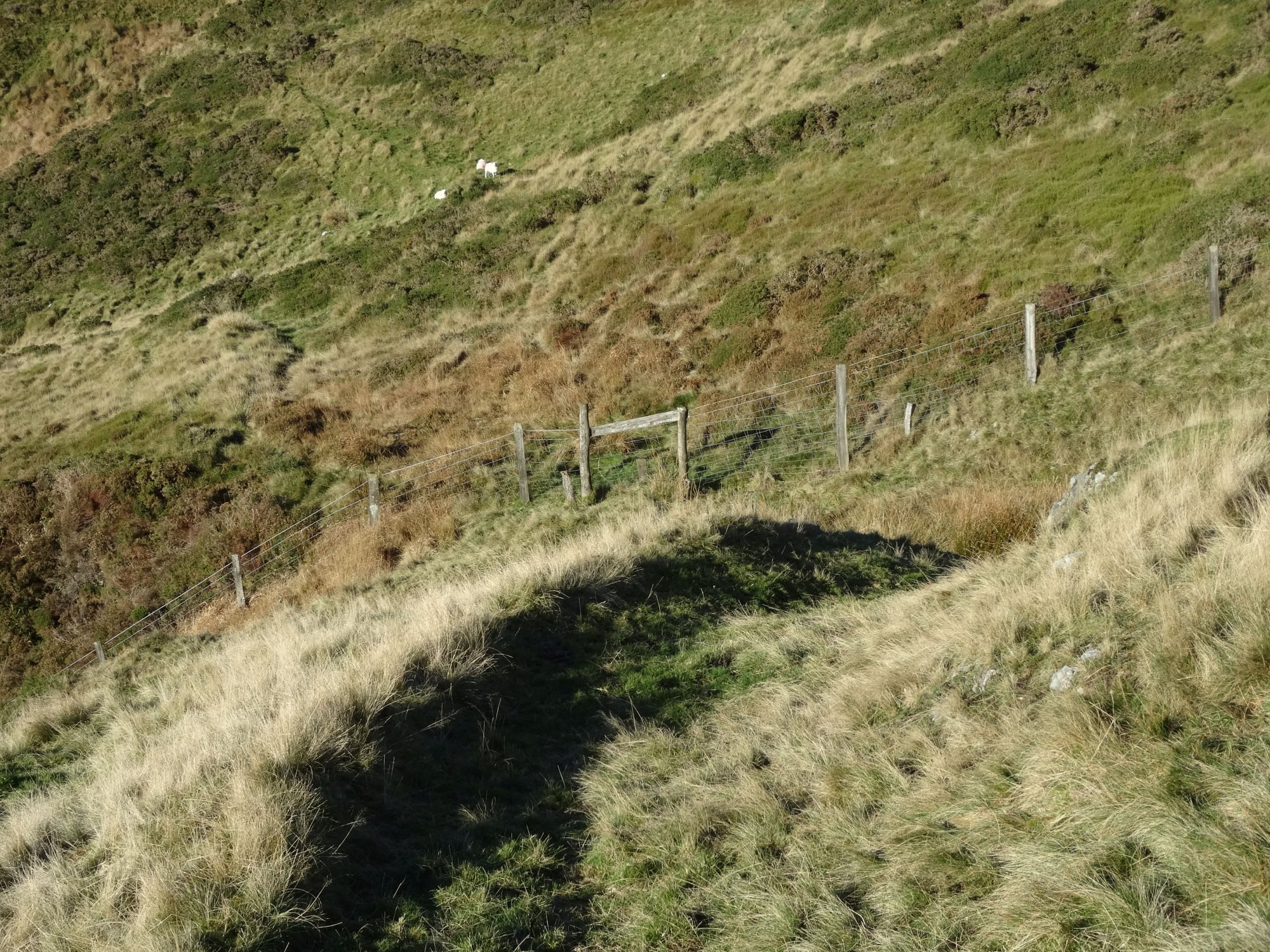
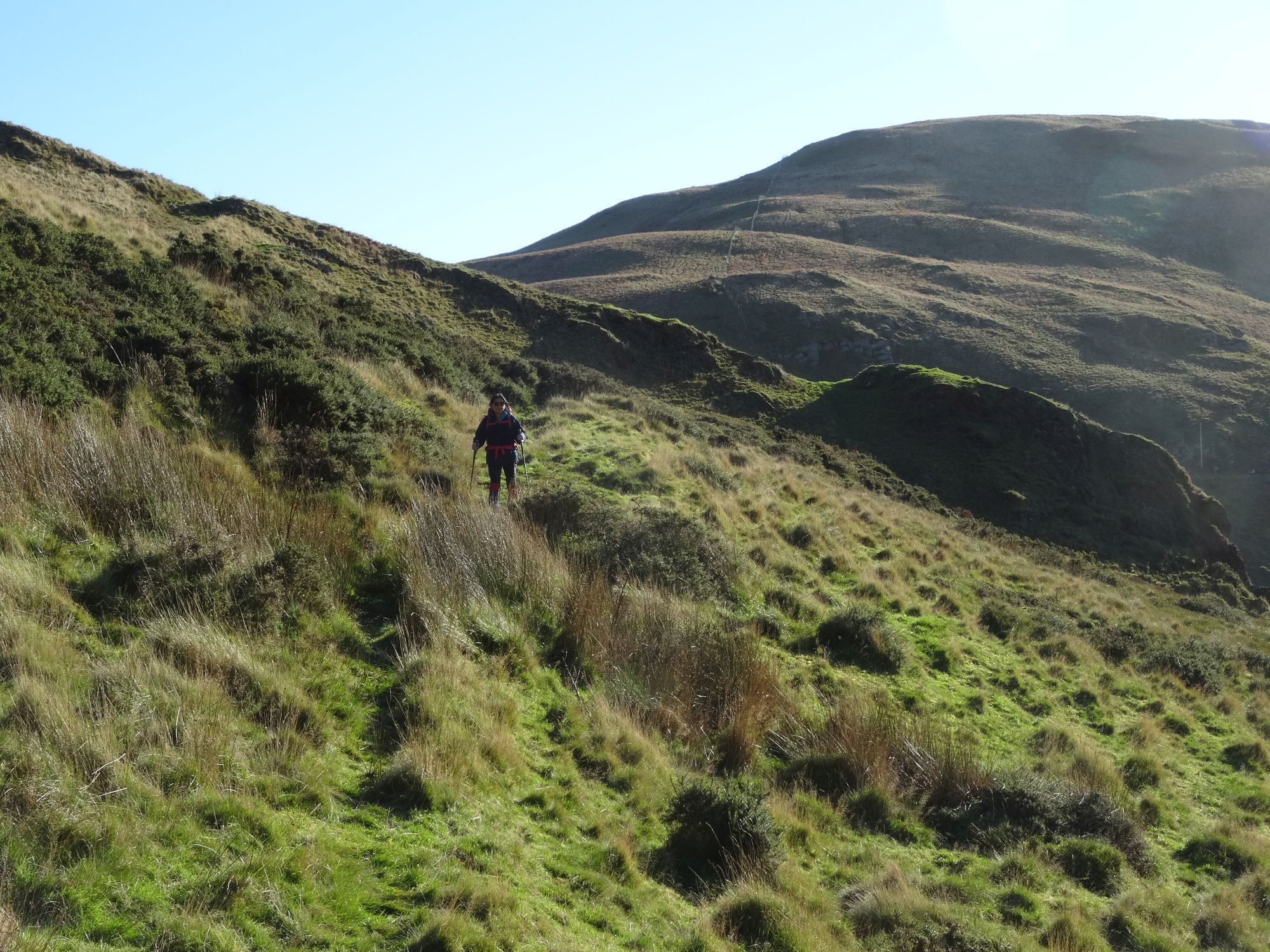
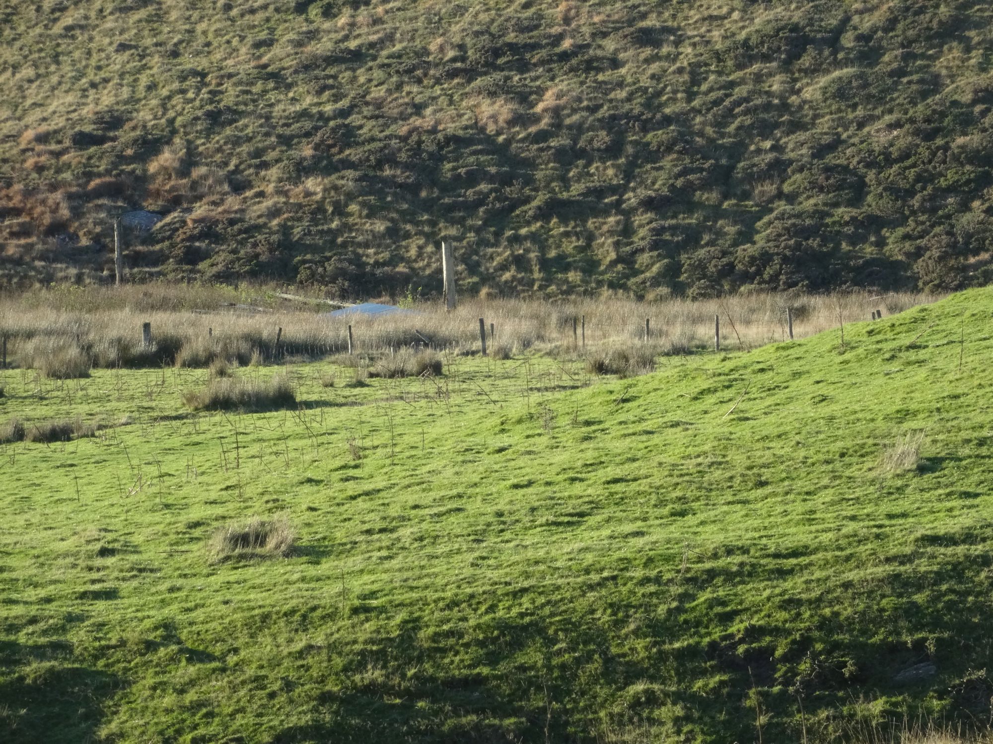
DO NOT follow the track turning left downhill beside the fence here, but instead of that, climb over a wire fence straight ahead and go up the steep gully-side on a faint path through gorsey scrub at first, then onto open grassy pastureland. It is difficult to be sure to keep to the right of way without GPS and OS app here, but try to spot a couple of tall upright posts in the distance, which mark the point of a collapsed metal barn, and head for them. This will entail negotiating a couple of wire fences (with at least one broken stile if you are on track) and finally an area of marshy ground before reaching the posts.
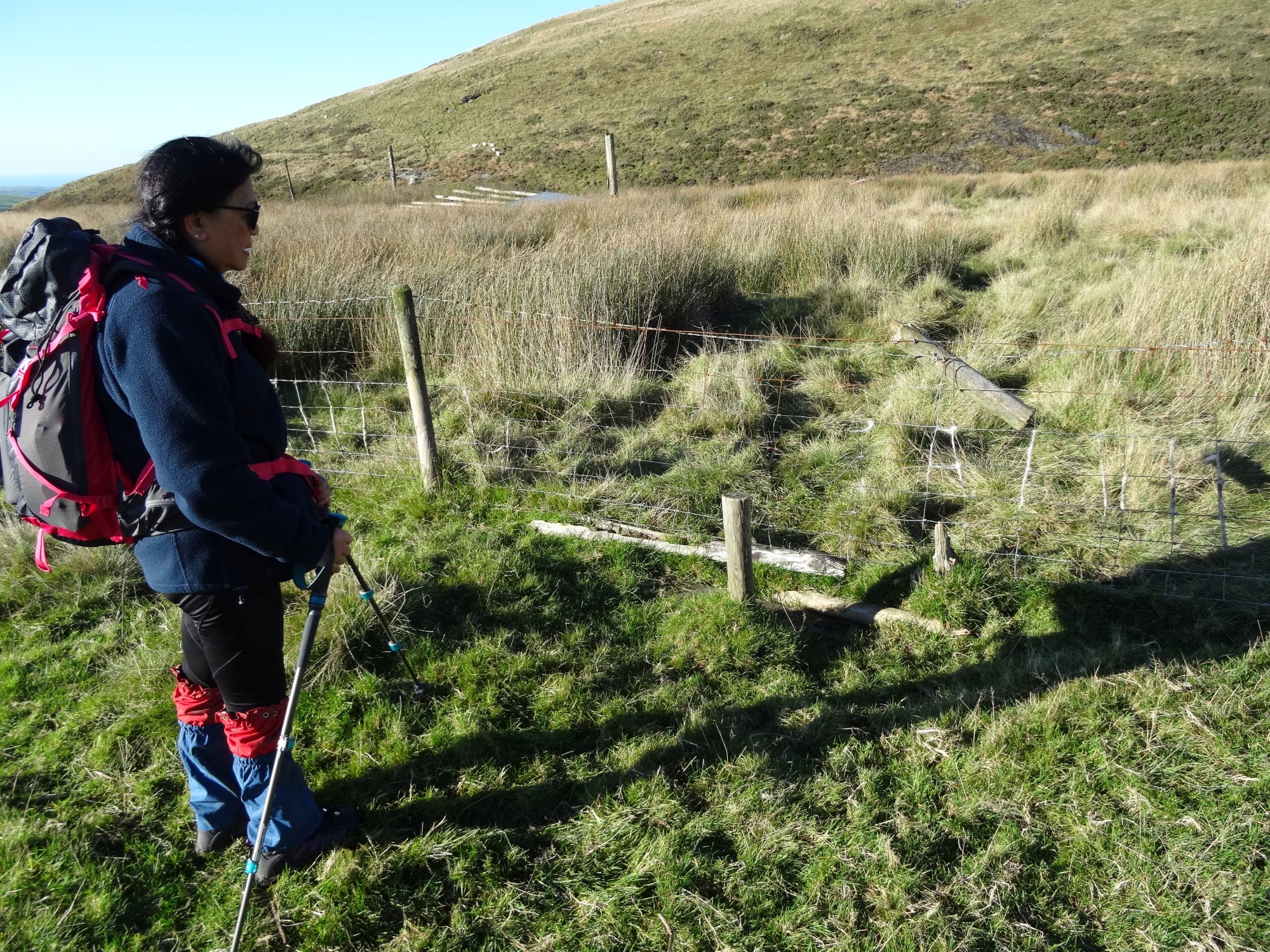
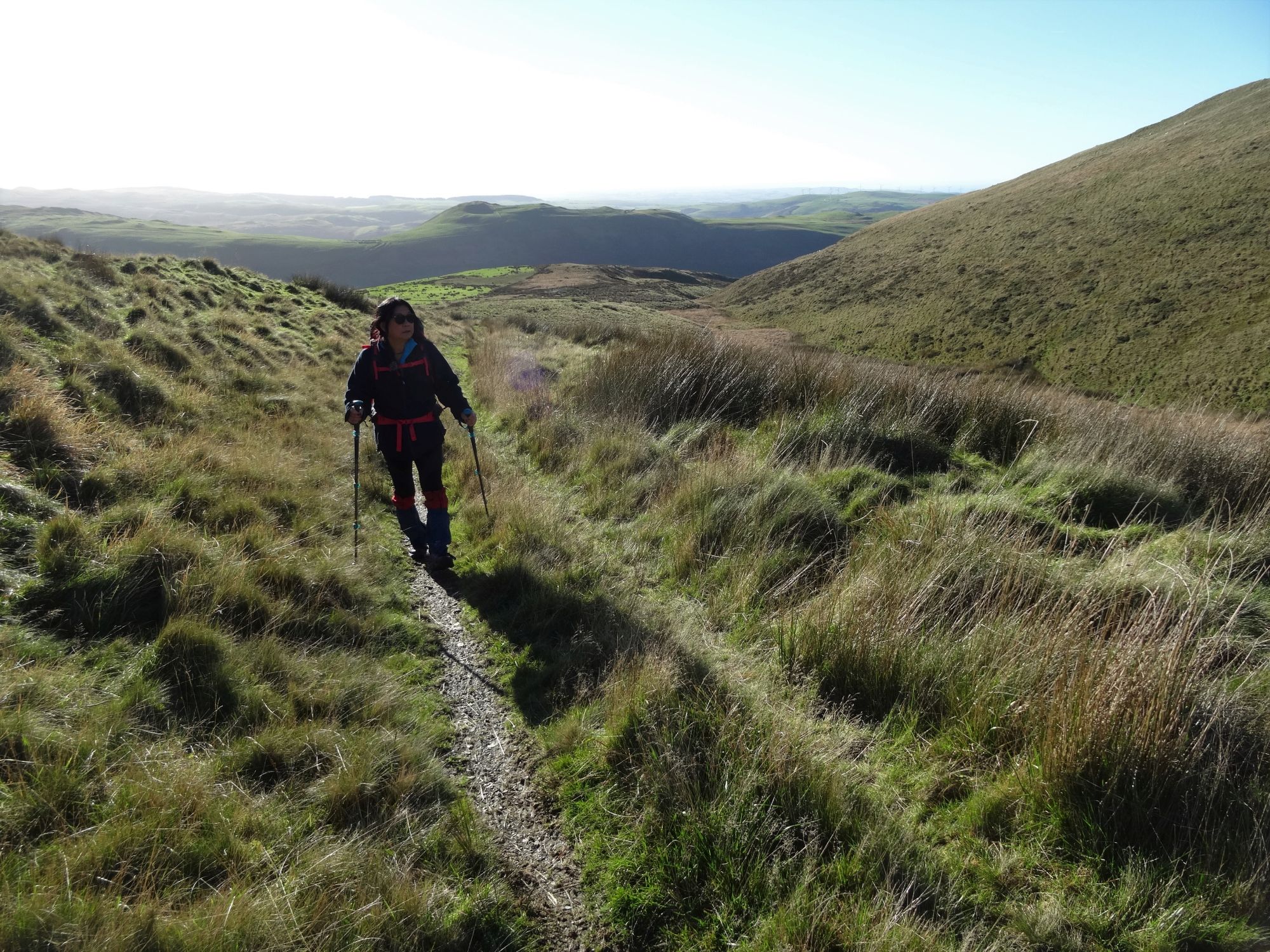
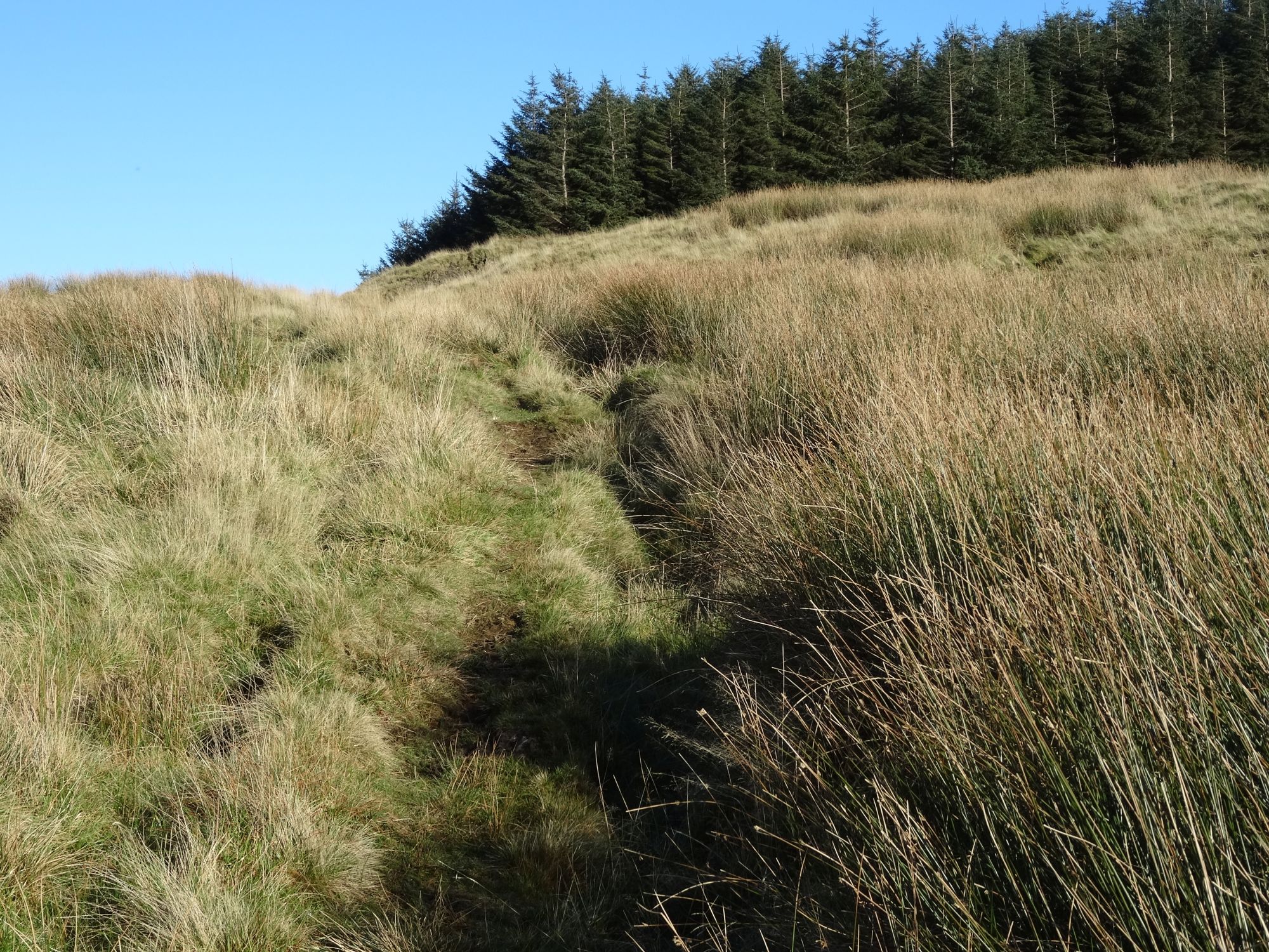
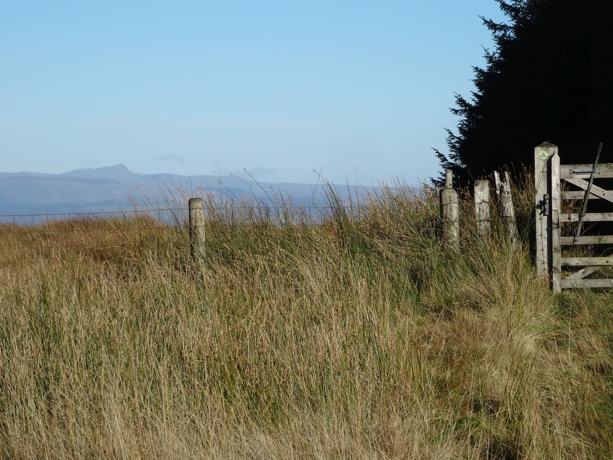
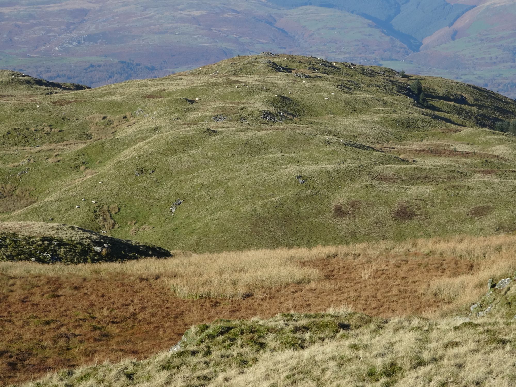
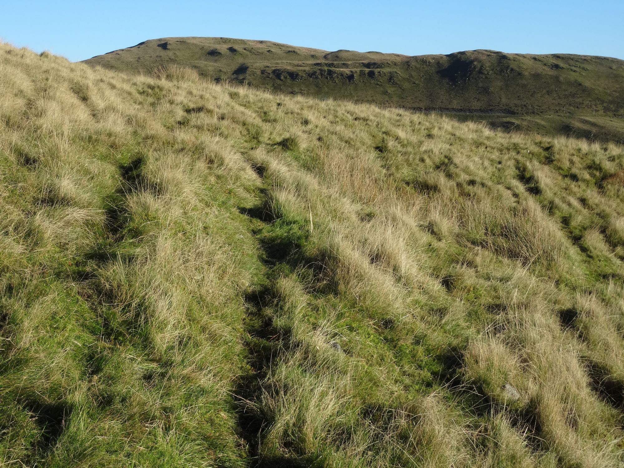
Here you should now find yourself on a clear grassy track that leads upwards towards the bwlch (col) between Moel y LLyn and the neighbouring heights of Banc Bwlchygarreg to its East. The mess of difficult wayfinding is now behind you! Walk up this track, ascending steadily for almost a kilometre, to arrive at the bwlch where there is a gate ahead, and the corner of a forest, but more strikingly, a great distant view of Aran Fawddwy and closer to you, the top end of Cwm Einion (Artists’ Valley).
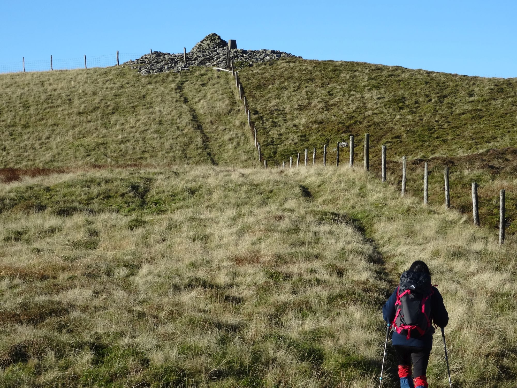
From the gate, turn 90° left onto the clear path that heads directly upwards, steeply in places alongside the fence, and arrives at the summit of Moel y Llyn. Even then you still have to climb over the rusty fence to get to the cairn and trig point!
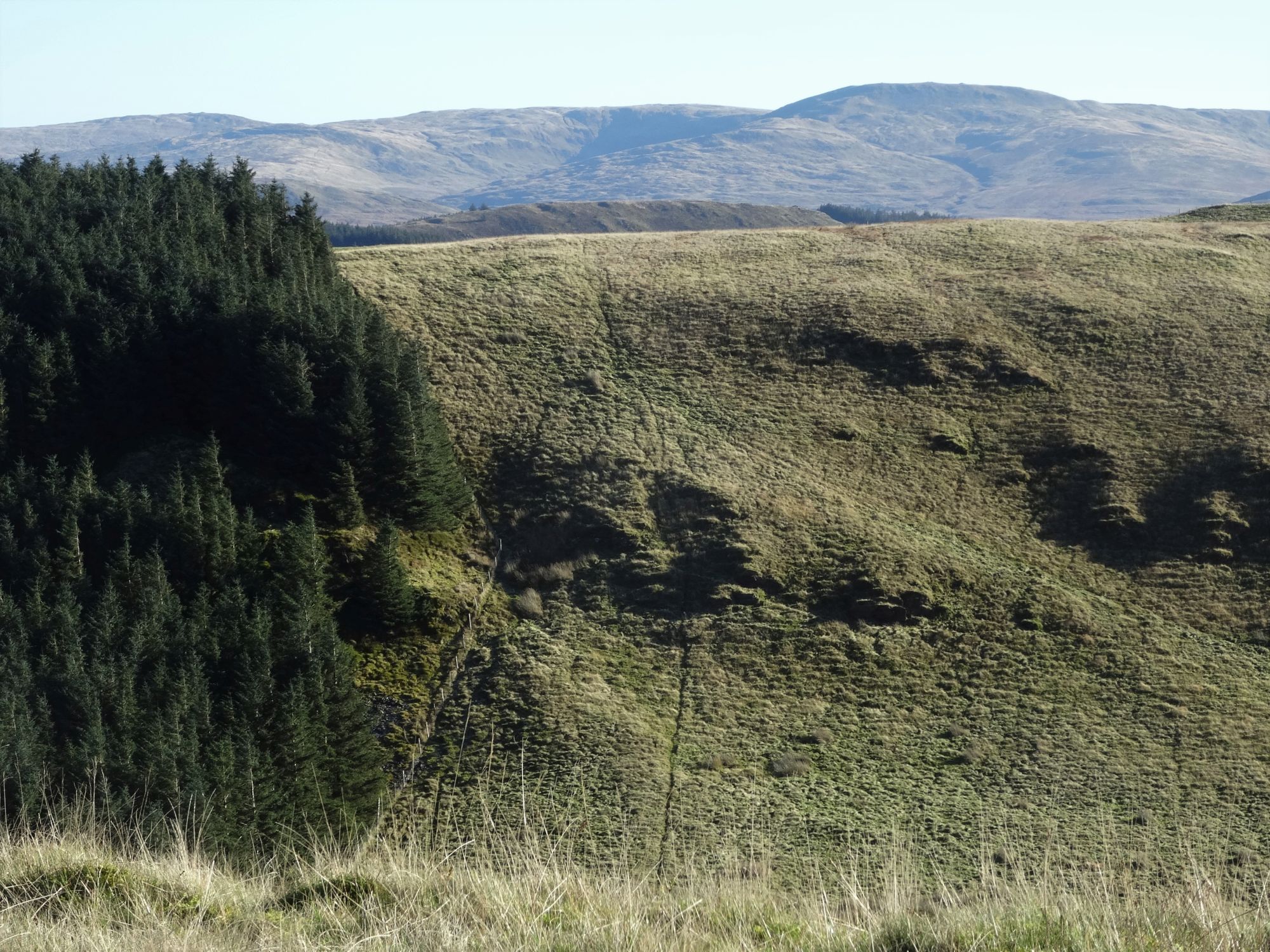
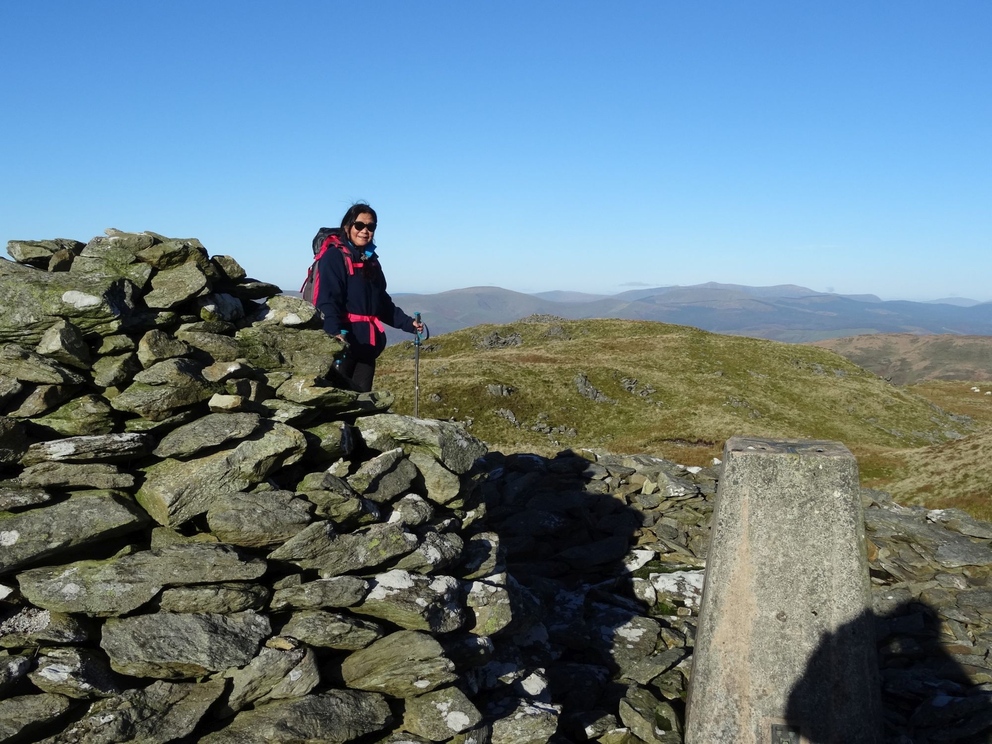
Apart from the wonderful views all round, you can see the ‘optional’ peaks ahead, of Esgair Foel-ddu and Foel Goch.
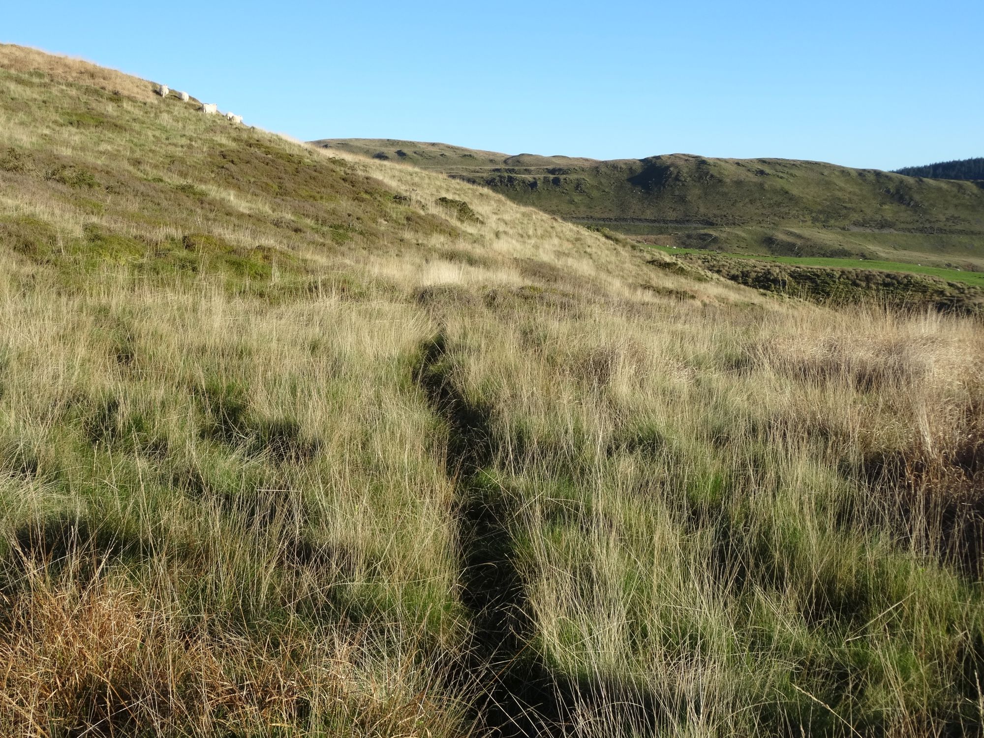
At this point, you have the option to hugely extend the walk by taking in the two optional peaks. But if not, first descend to the summit lake/tarn of Moel y Llyn, in the general direction (SW) of the hill’s second summit cairn, skirting round its right hand side following a small sheep path, and find the fence that descends the hill from the lake in a roughly westerly direction. Keep to the right of the fence and follow it down… there is a faint path, easy to lose, and you will have the broad sweep of Moel y Garn dead ahead.
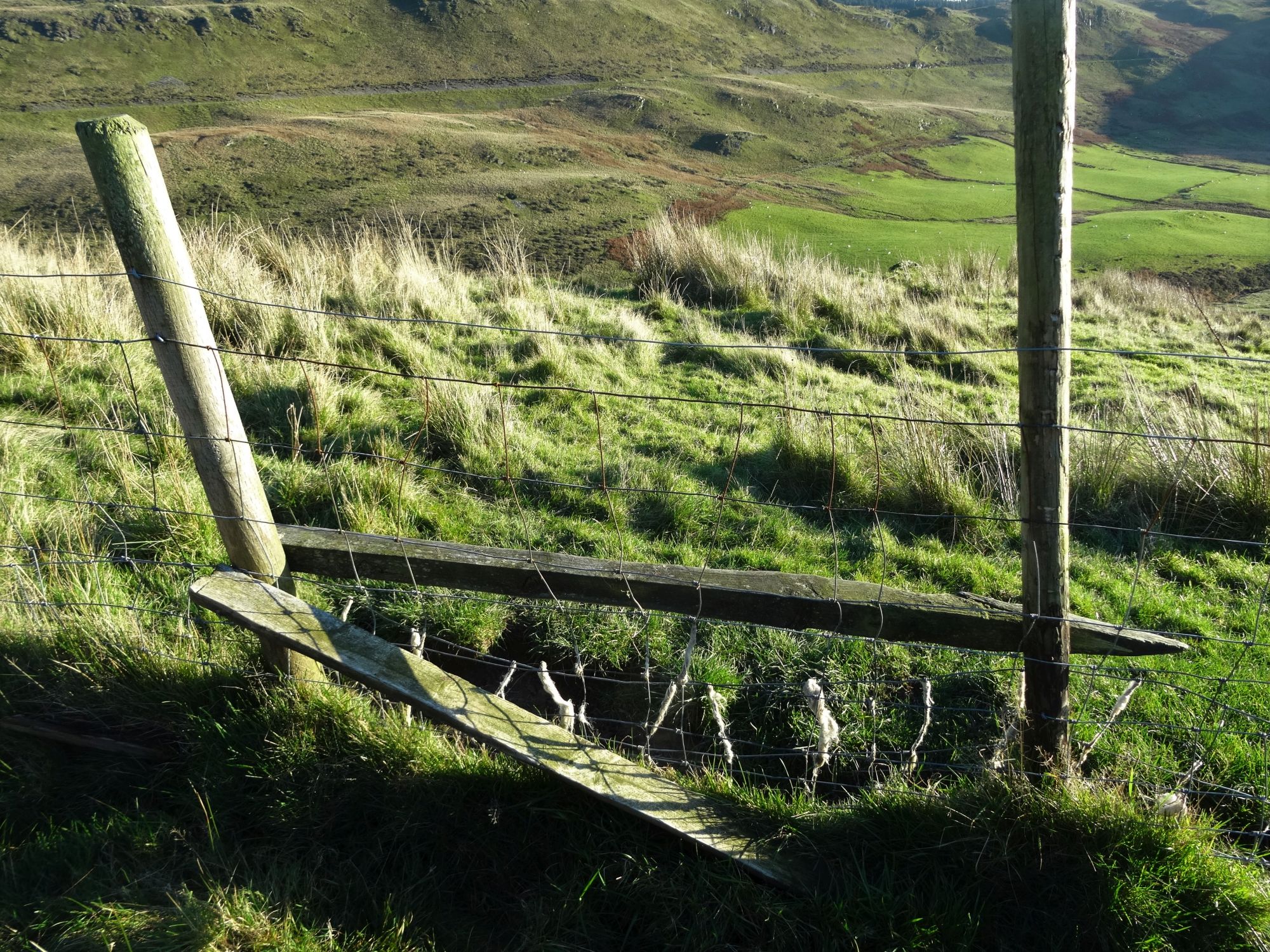
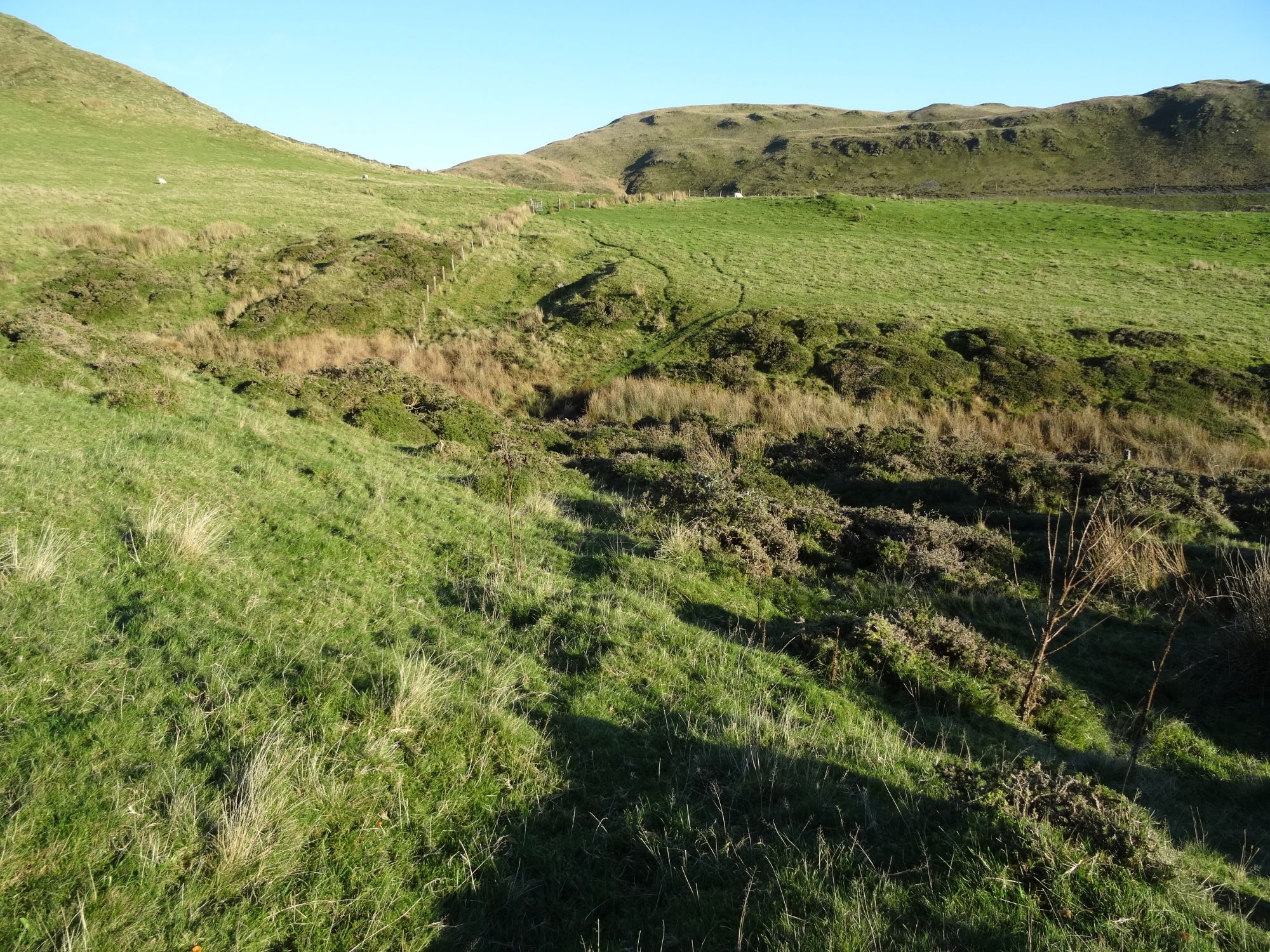
After descending to where the fairly steep gradient suddenly eases, you get to the boundary of Access Land, and a section of rough pasture; you will find a corner of fences here with a derelict stile. About 20m further down is a much better stile… go over this to the left and head south towards the far corner of this field, walking to the right of the fence on a faint rough track. There are even waymarks here and there along this path.
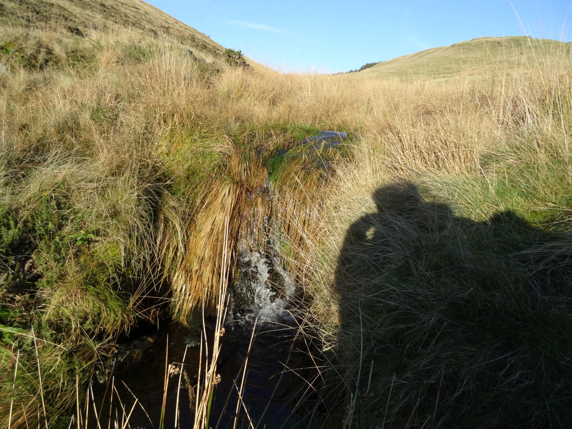
The path is reasonable easy to follow with care and careful observation, curving left gradually round the bottom of the hill. At one point it seems to split… take the lower option. After crossing a somewhat wobbly stile, it eventually descends to a stream in a gulley which is somewhat difficult to cross after wet weather… try further up if you have difficulty.
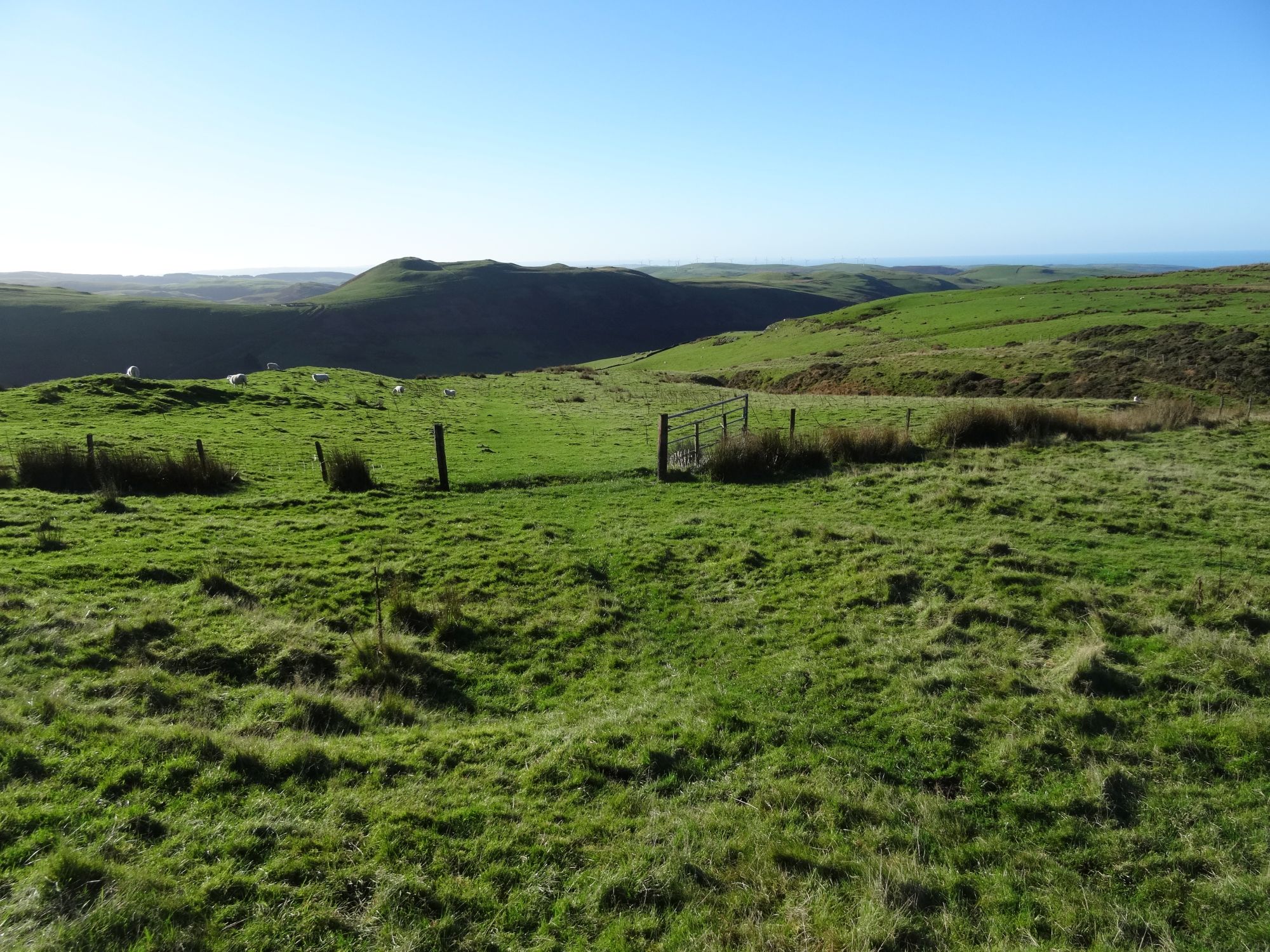
You should now see the posts and remains of the barn that we met at Point 5 above, and cross over to them. Then retrace your route the way you came, first over the hump of the hill and down into another stream gulley, over a fence, then up the clear track for a short section through the gate. The route back to the walk’s starting point across the meadows and fences feels easier to see in the distance in this direction.
Instructions for the walk extension to follow
Paul Campbell:
Mar 11, 2022 at 07:57 PM
That looks a really nice walk and i live the scenery too.
rseabrook:
Dec 10, 2023 at 05:59 PM
Many thanks, Paul.
Neal Batchelor:
Jul 08, 2023 at 11:10 AM
Hi Maurice, An excellent walk on the wild side which I completed yesterday in good weather for the views and lunched at the delightful Llyn Moel-y-Llyn. All in all the route directions were very good. The only issue I had was at step 1 after I headed over the crag I could not locate the crossing point in the boundary fence at SN720910 to join the path which runs alongside the hill overlooking the Afon Ceulan. There was so much gorse beyond the fence line here that you could not cross over there. This meant quite a detour down the steep sided crag to cross the river and then head up through very tall bracken to reach the intended path. I’m just wondering how you tackled this before. Other than that a beautiful little hill with interesting cairns and stunning views towards the sea. I think this walk should be done as part of the Cambrian Mountain Society walks programme? Thanks, Neal Batchelor.
rseabrook:
Apr 22, 2025 at 04:10 PM
Thanks for that Neal...I'll have another look at the instructions for the befginning of the walk. Glad you liked it.
rseabrook:
Dec 10, 2023 at 05:59 PM
Thanks for your comments, Neal...I'm glad you liked it!