


Walking in the Aberystwyth area is really not complete without the ascent of the local mountain, Pumlumon Fawr, amid wild-feeling country. It is often omitted as a mountain, however, as the ‘normal’ route up from Eisteddfa Gurig has a reputation for featureless tedium, and is only walked much because of its easy access from the A44. But the north and west sides are far more interesting and give a much more scenic walk. The ‘hidden’ crags of the northern cwm of Llyn Llygad Rheidol give a quite different perspective on the mountain. This route, unusually for Pumlumon, is for the most part fairly dry underfoot, but for some of the way only faint footpaths are available to follow. This is an easy and short round of Pumlumon, but an alternative descent by way of Pen Pumlumon Arwystli and Craig yr Eglwys, down into Cwm Hengwm would make a much more challenging outing. However, that is much longer and hard going with few paths, and serious route-finding is needed…I need to do further research to give specific advice for that route. In the meantime, have a highly enjoyable half day with this one!
(opens in new tab):
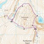
of starting point :
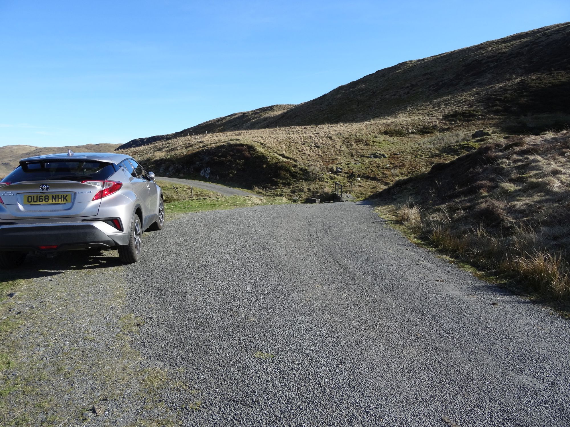
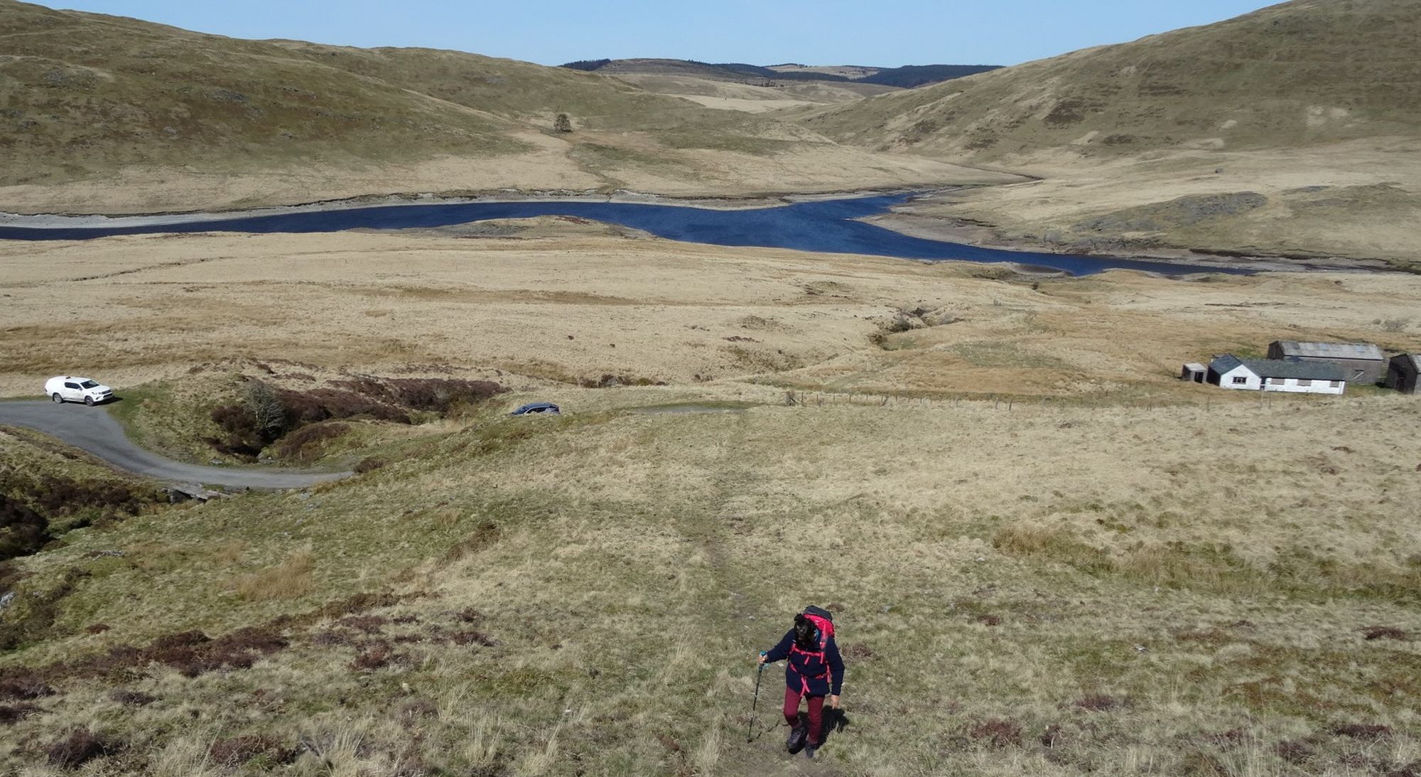
Private transport is required to get to the starting point...take the mountain road signposted to Nantymoch from Ponterwyd. Soon after spotting the large concrete dam over to your left, take a right turn at a t-junction, and drive up the eastern arm of the lake, until the tiny surfaced lane finally ends at a gate and turning point at Maesnant. Park in one of the off-road areas nearby.
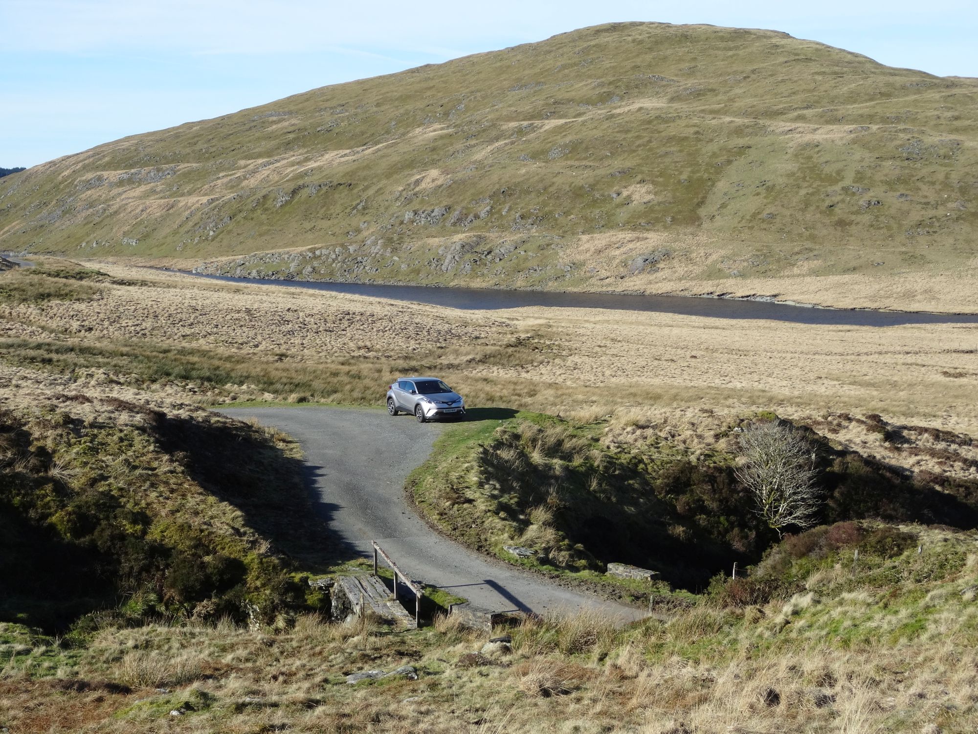
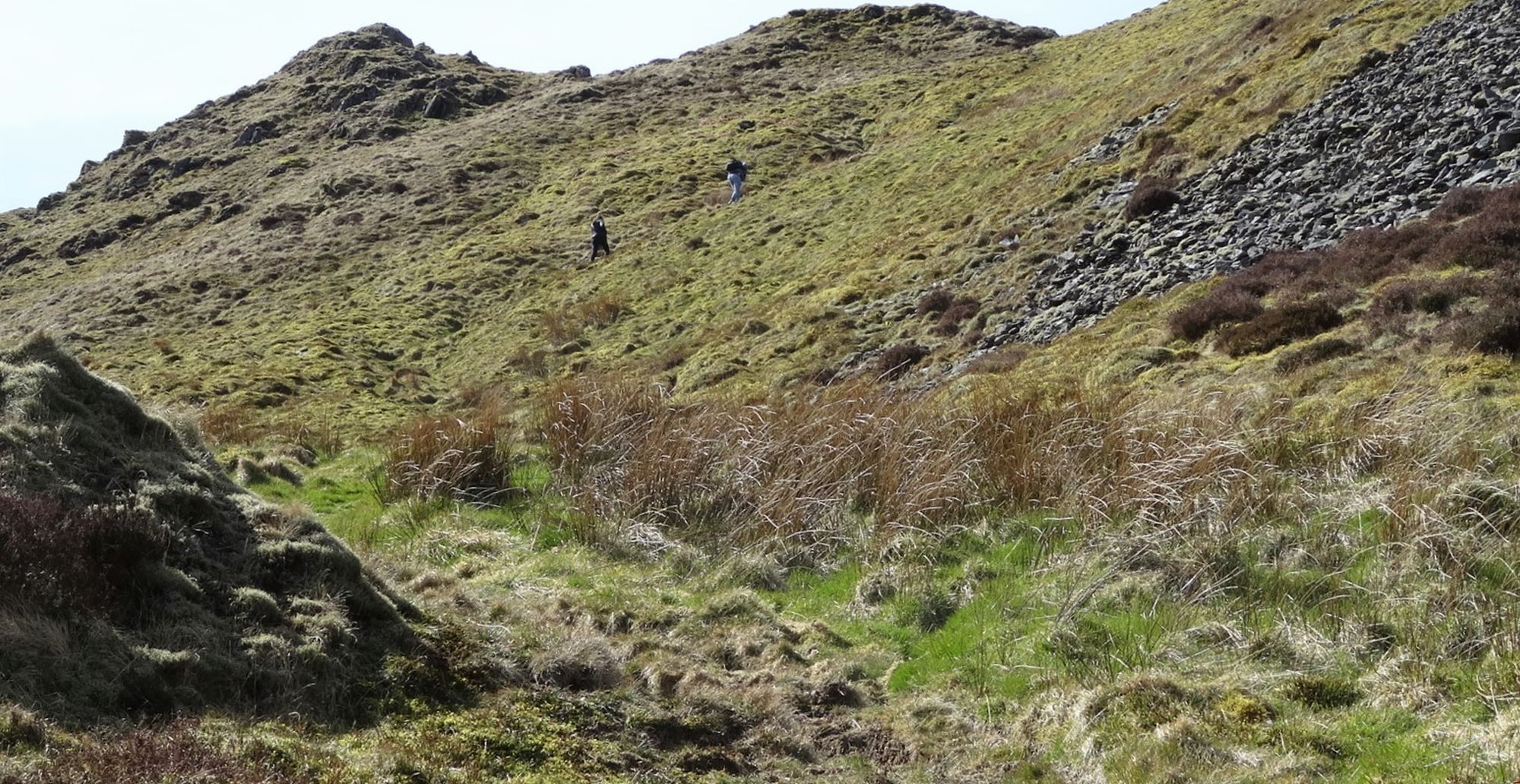
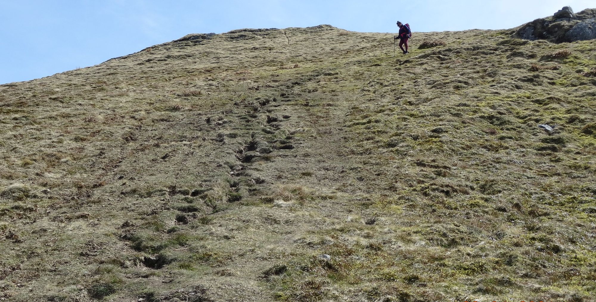
The stream called Maesnant can be crossed on a very rickety wooden footbridge next to the road, and a faint path followed straight up the very steep grassy slope, well to the left of the stream in its rocky gully.
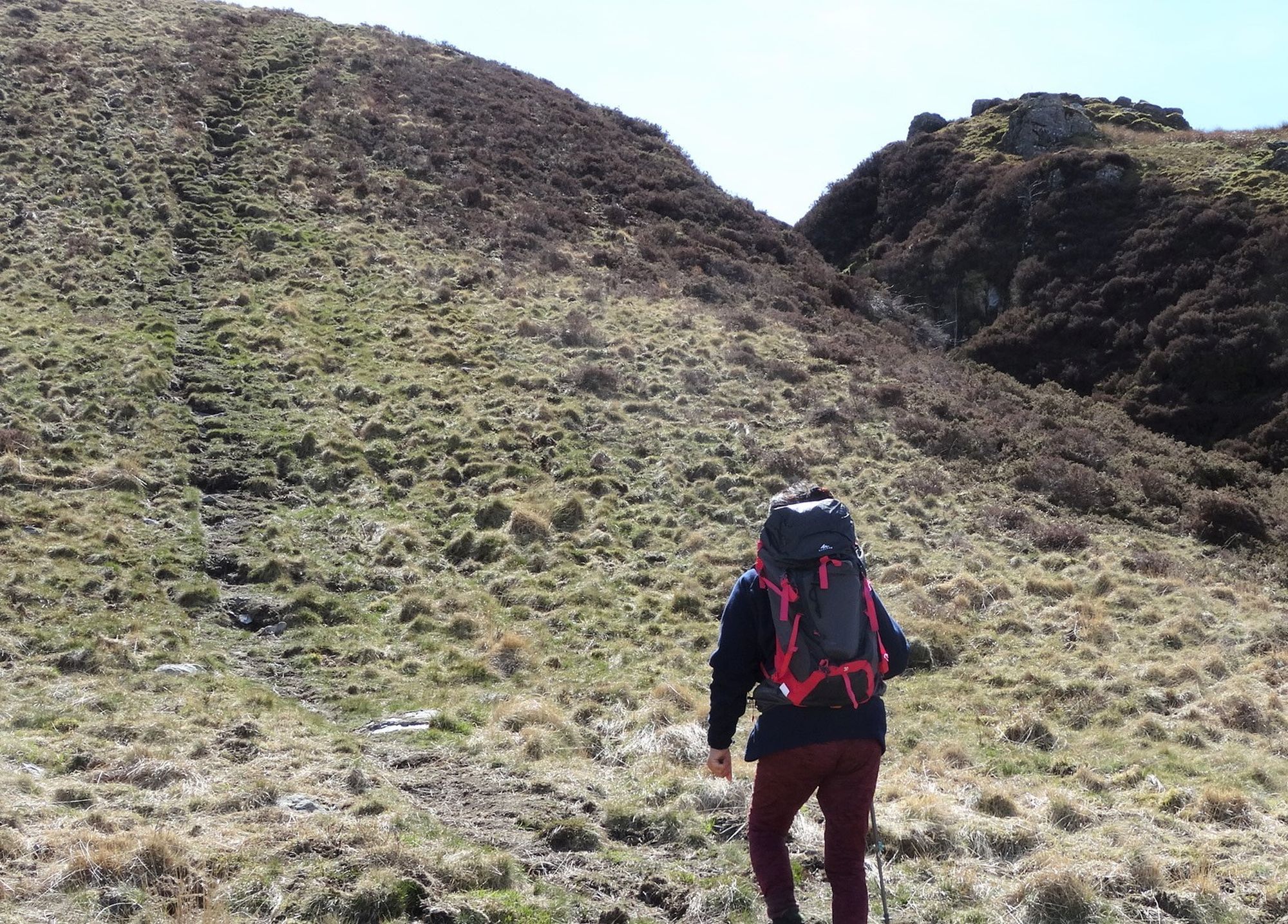
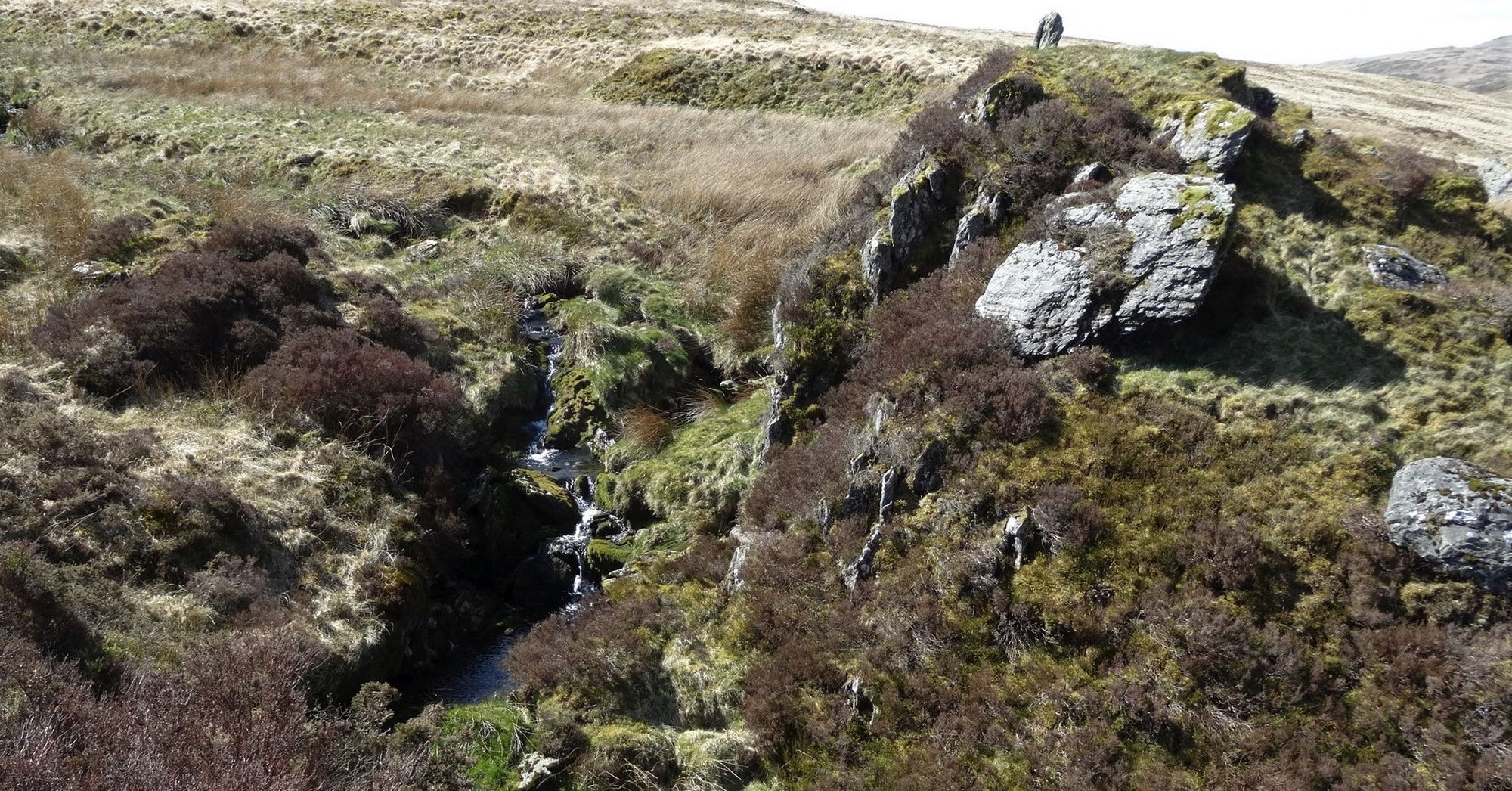
After the exhausting pull up this first steep bit, the gradient soon moderates, a flatter boggy area makes the path indistinct, but head towards more rocky outcrops, the path threading its way through them beside small waterfalls.
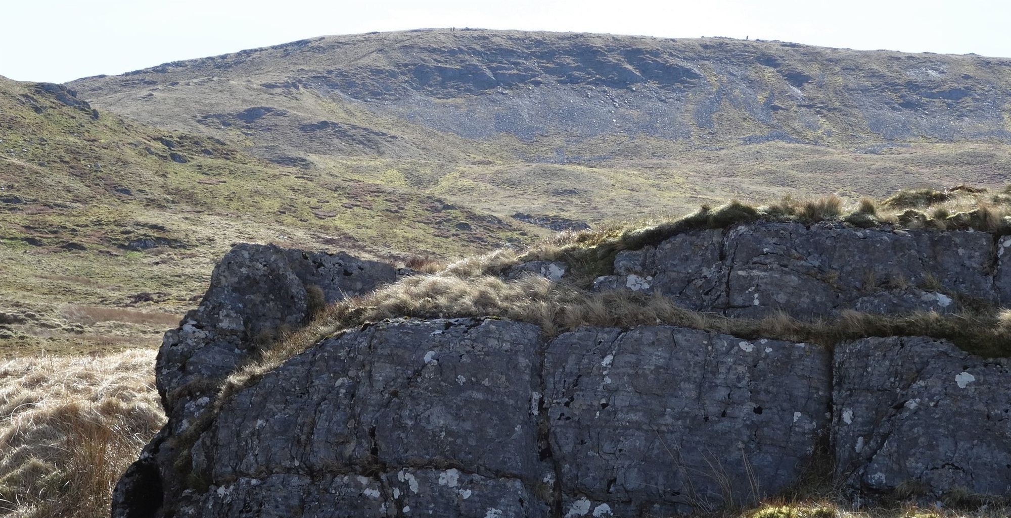
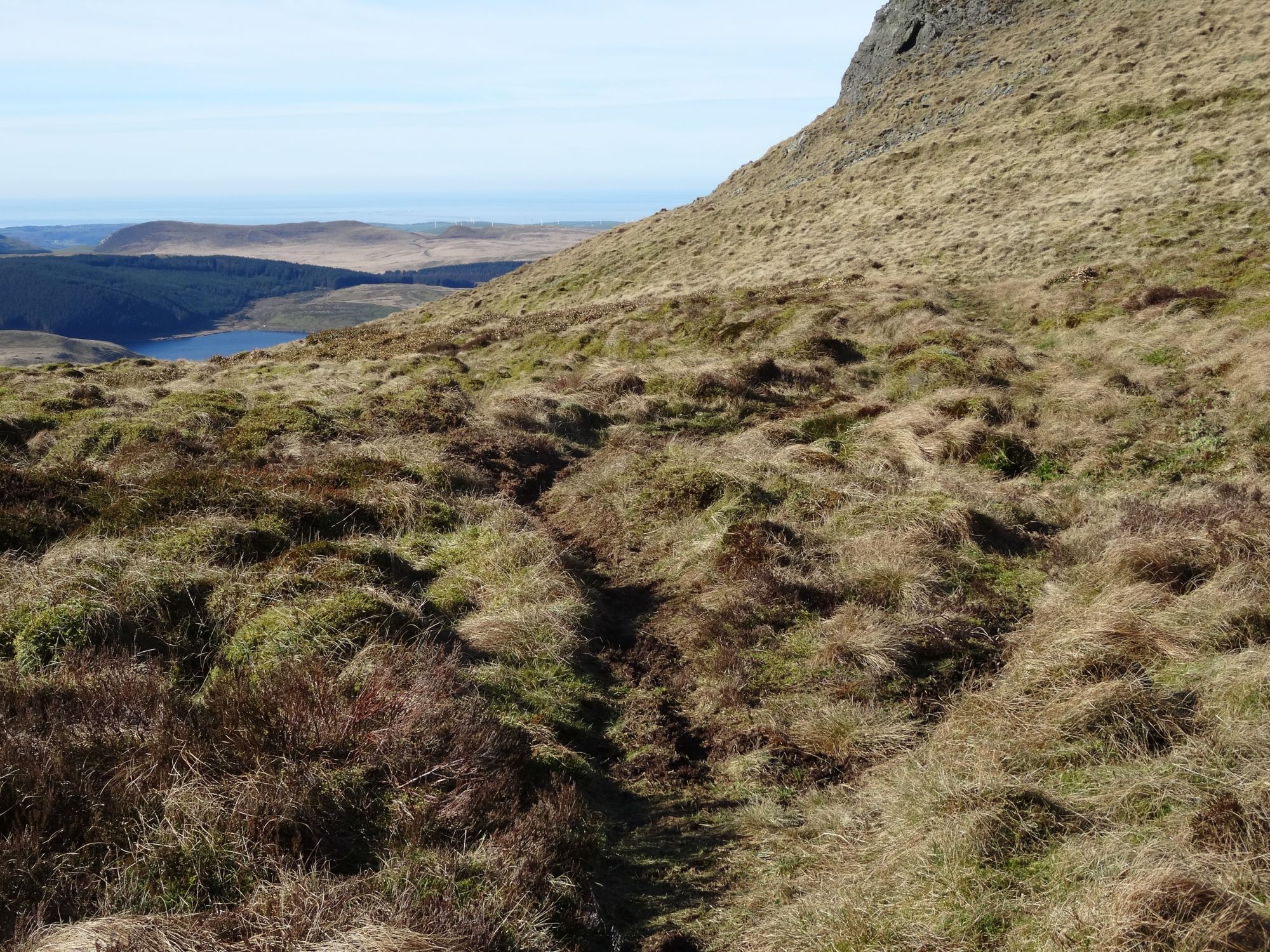
Just beyond the main craggy bit, you need to step across a deep but narrow stream blocking your way. Then cross another very boggy area, perhaps keeping dryer over to the right, before emerging onto a stony track which crosses our path. All the really wet sections are now over... unfortunately this first part is repeated at the end of the walk!
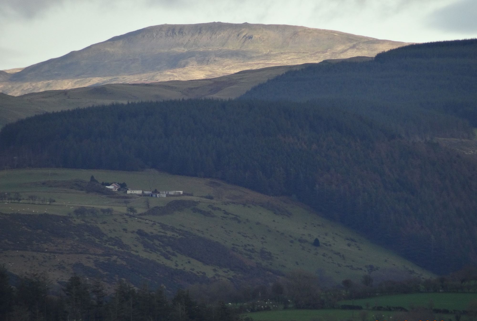
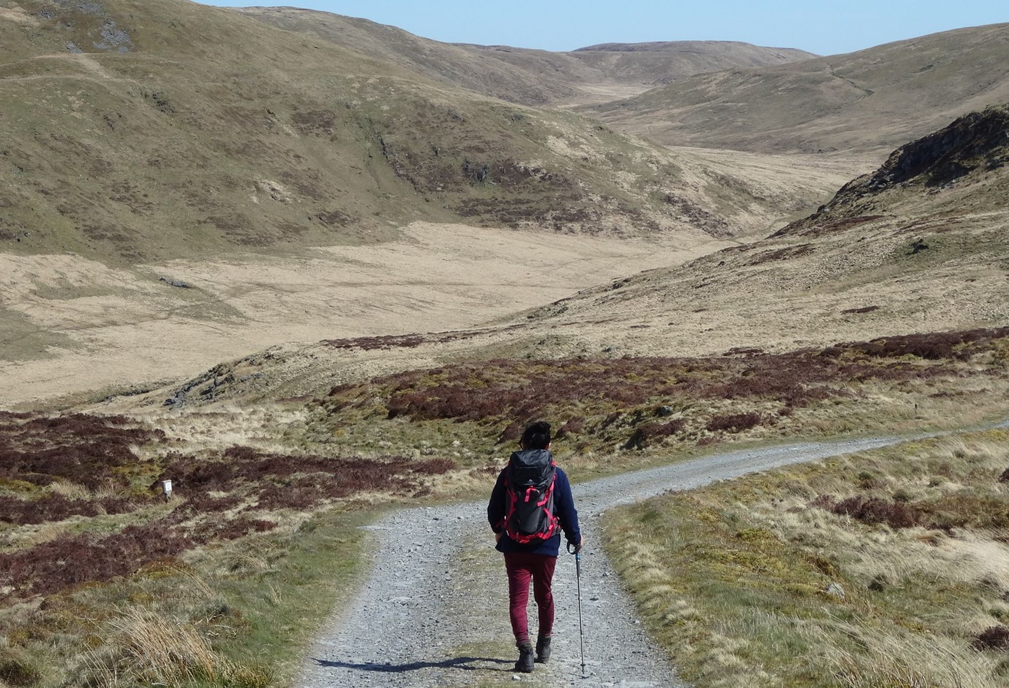
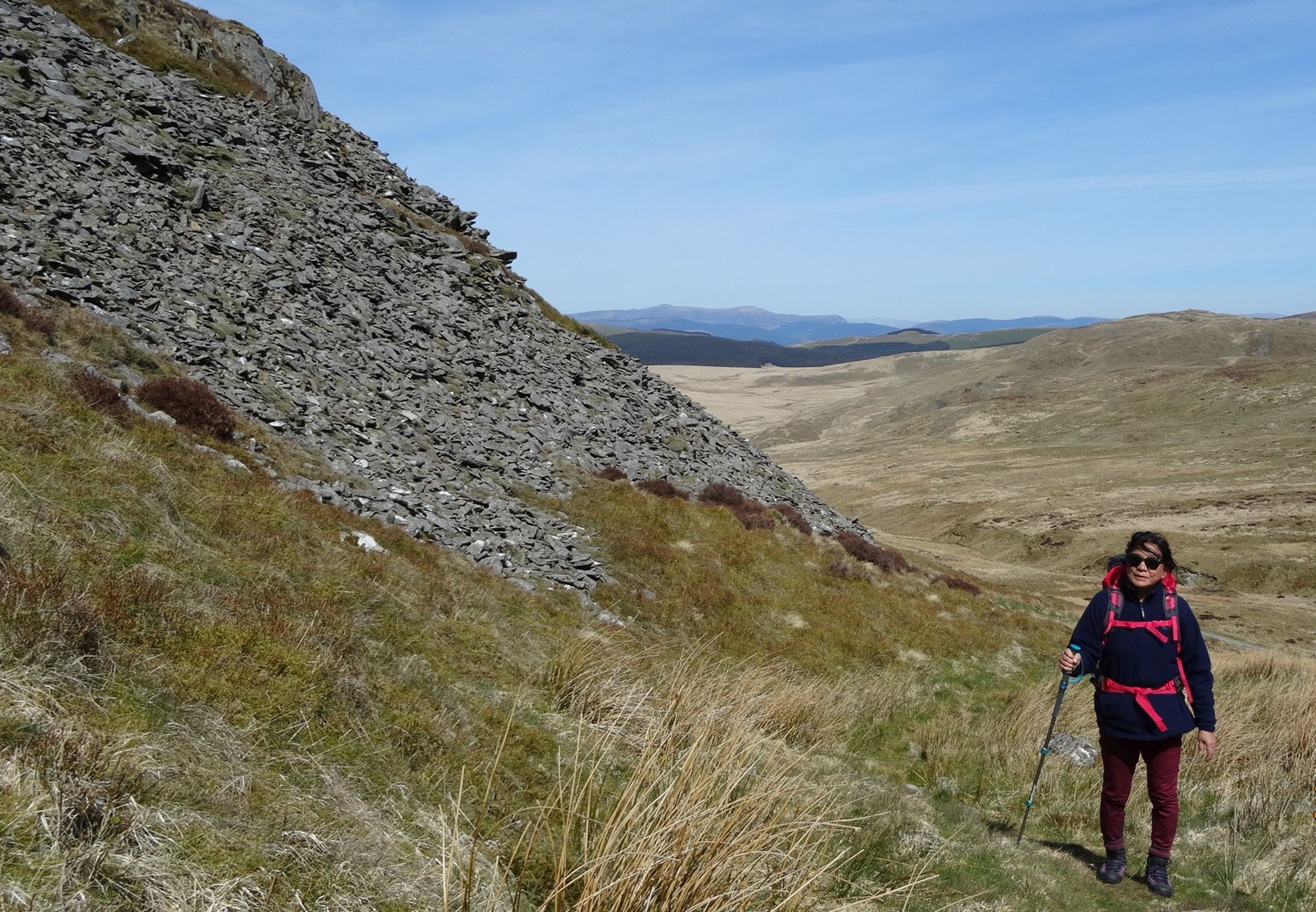
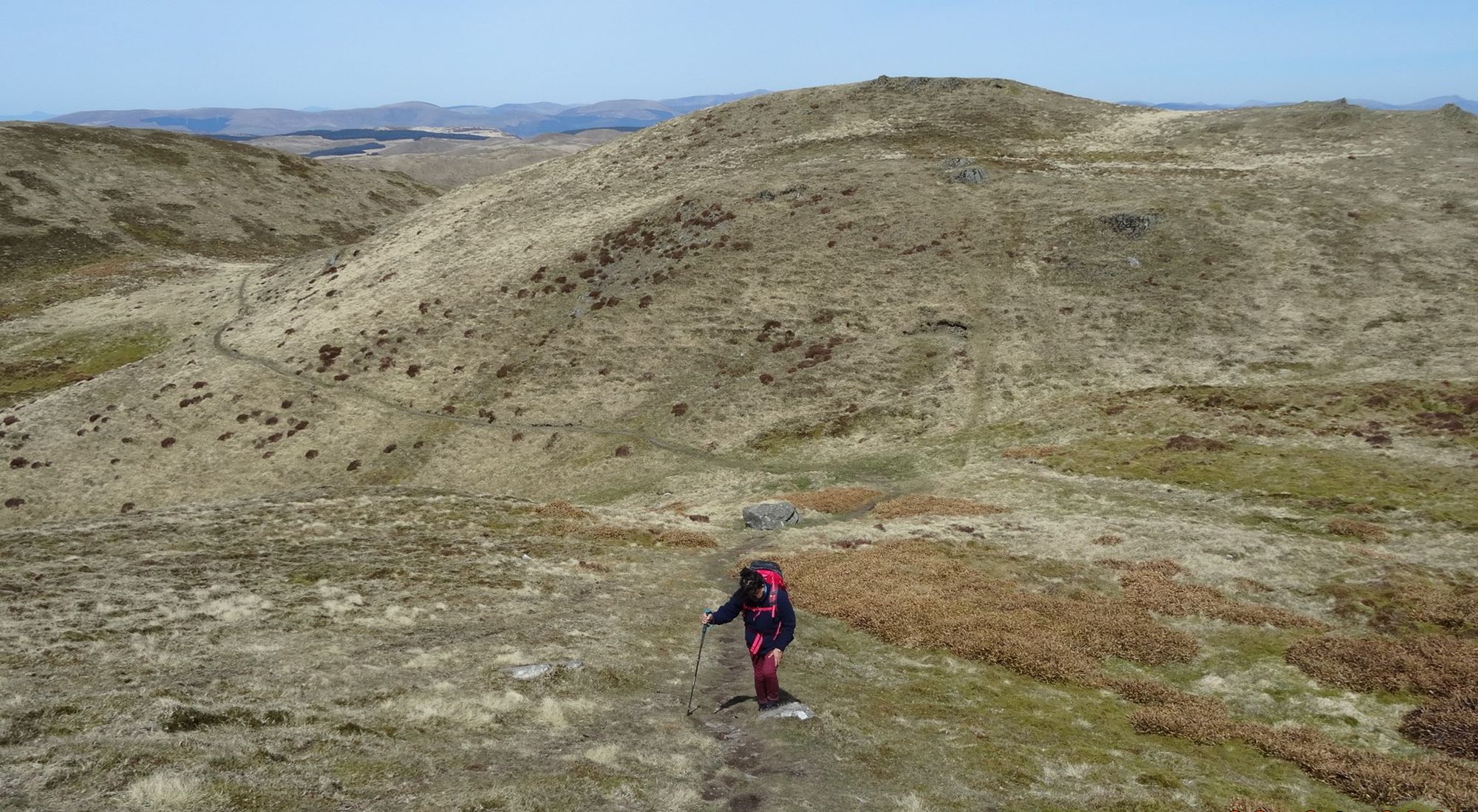
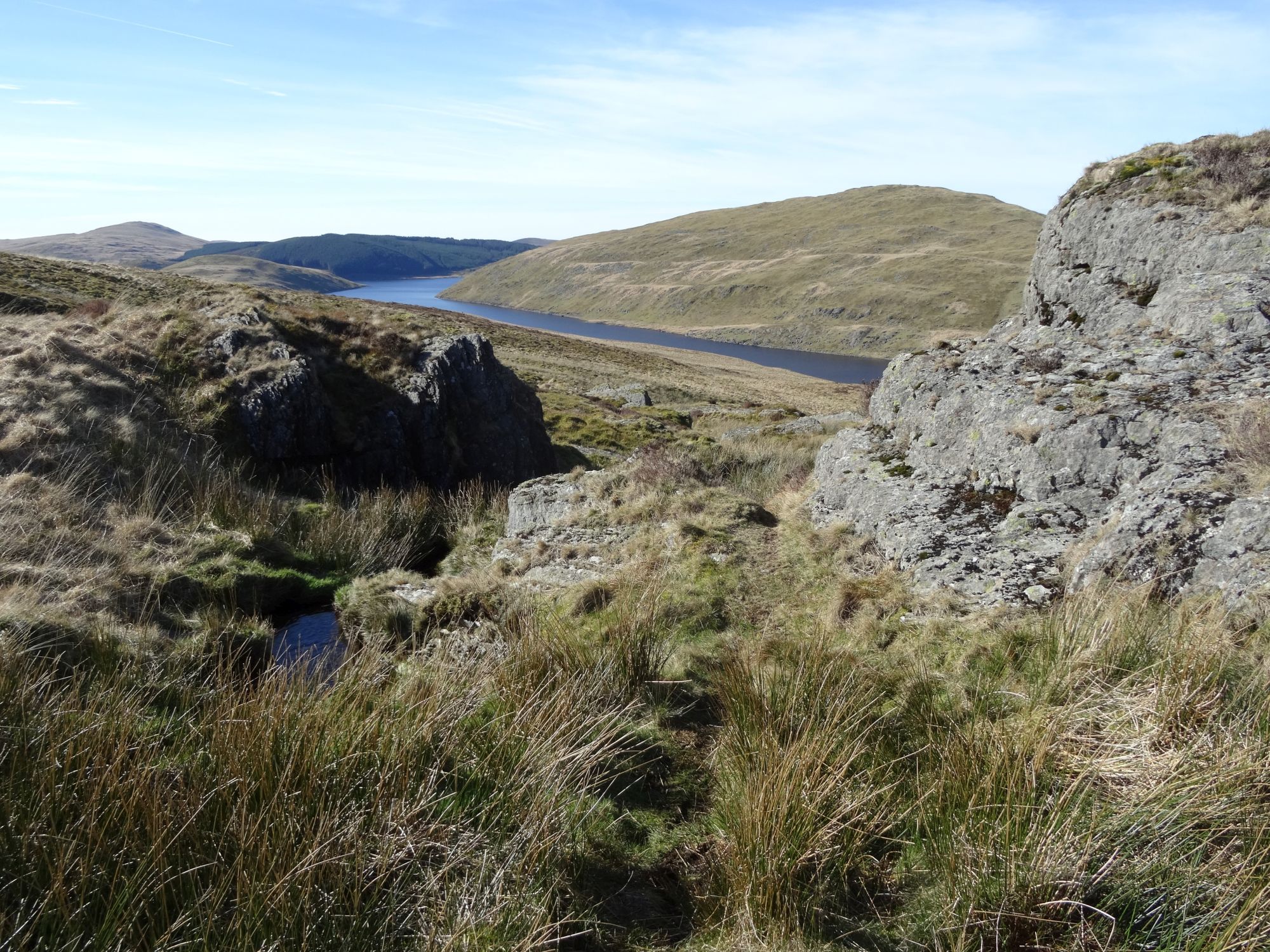
Turn left onto the relatively dry, level track, and look around as you walk to enjoy the wonderful mountain scenery from this higher level. Behind are the broad stretches of the Nant-y-moch reservoir, its far bank rising steeply to the 550m summit of Drosgol. Ahead and to the left is Banc Llechwedd-mawr, and straight ahead the valley of Cwm Hyddgen. Pass a series of pools on your left, with the shapeless bulk of Pumlumon Fach on your right.
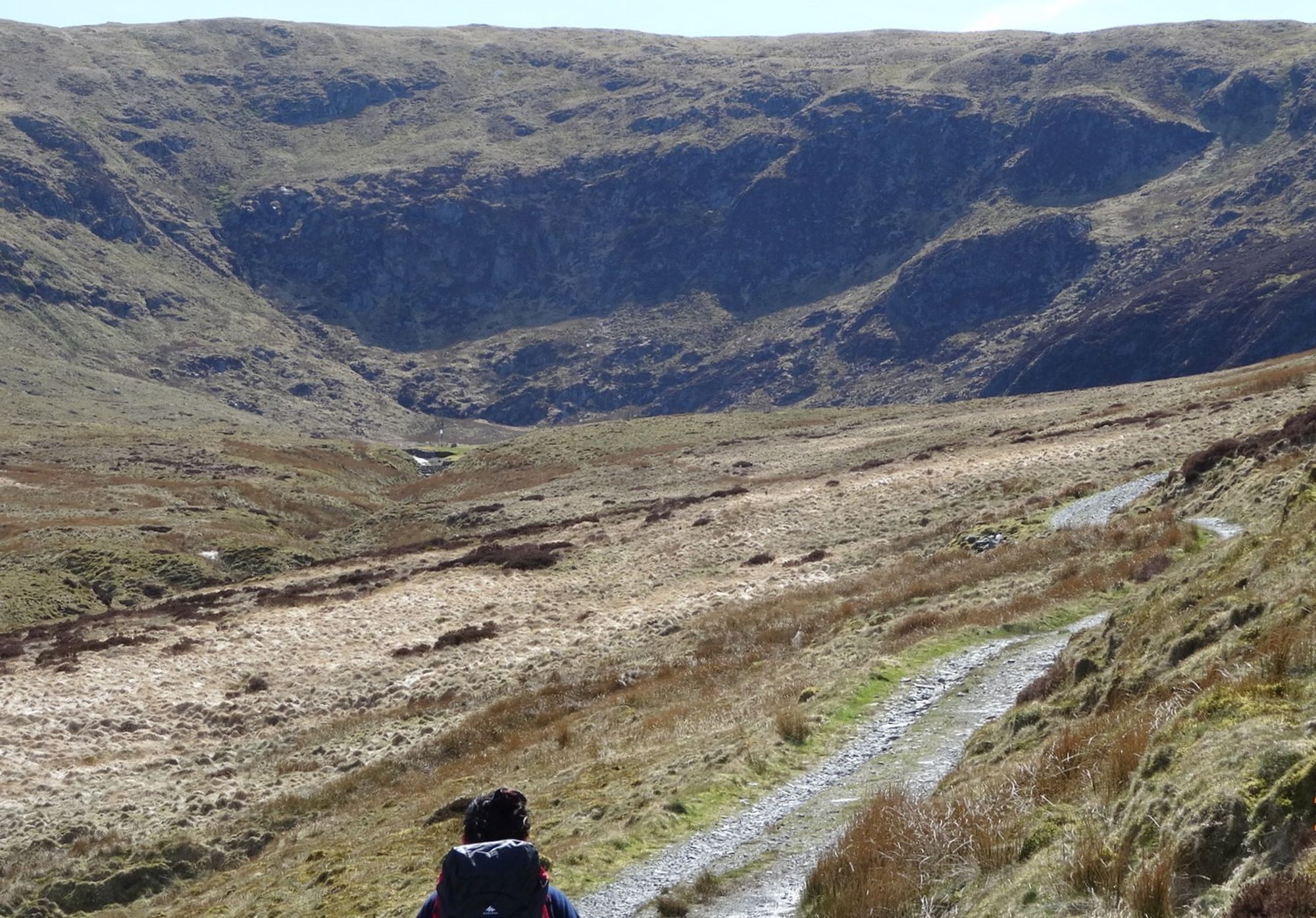
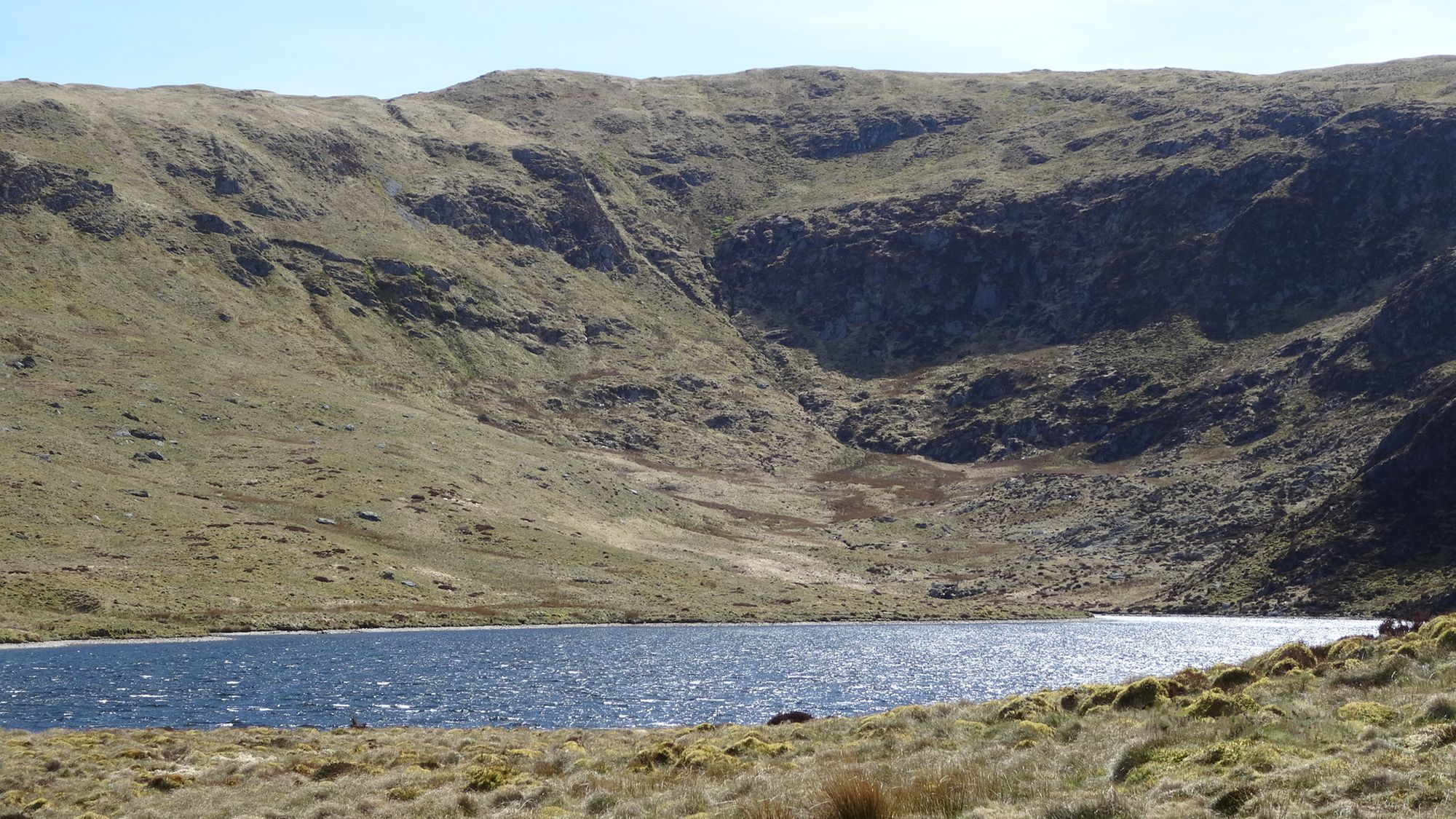
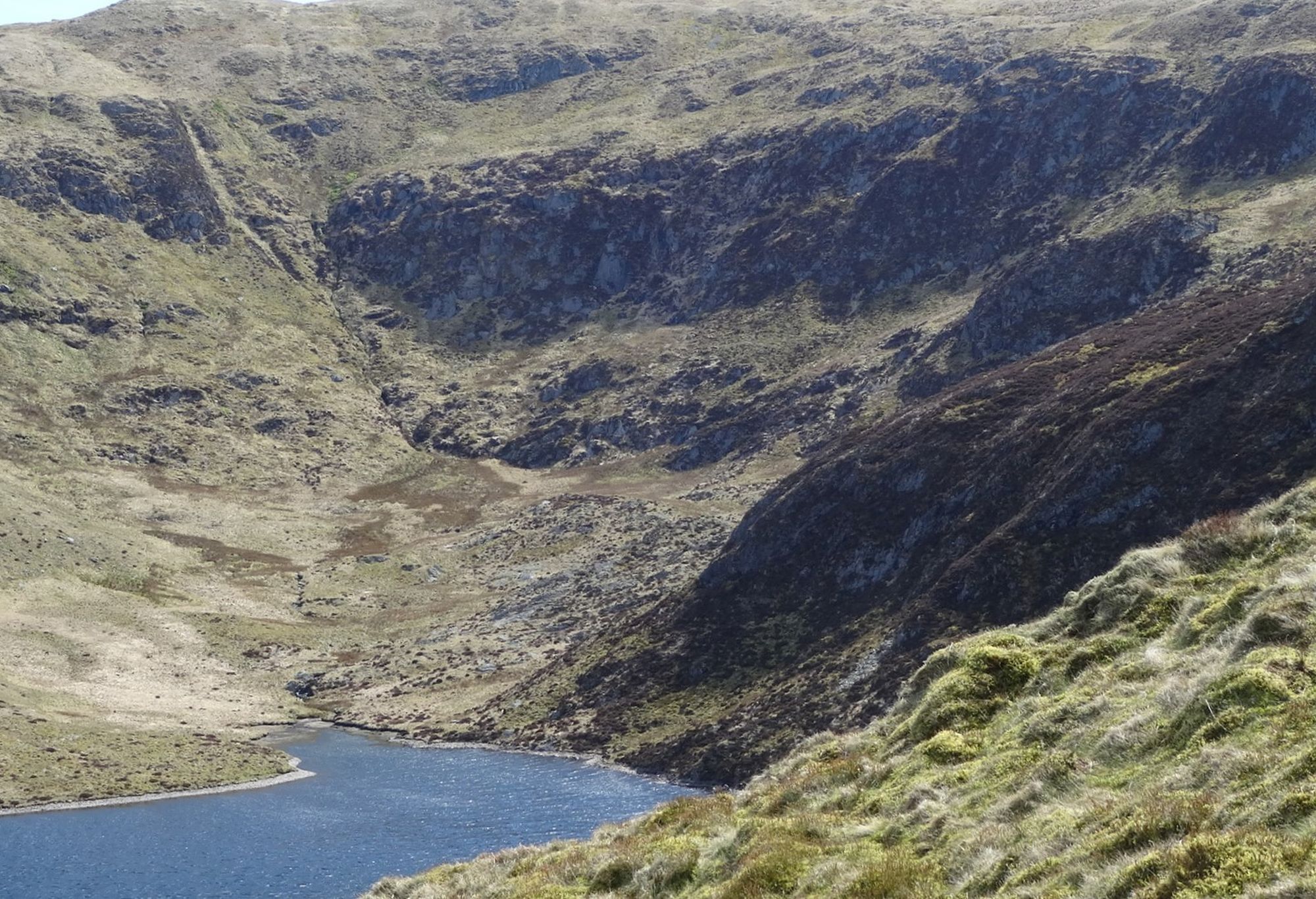
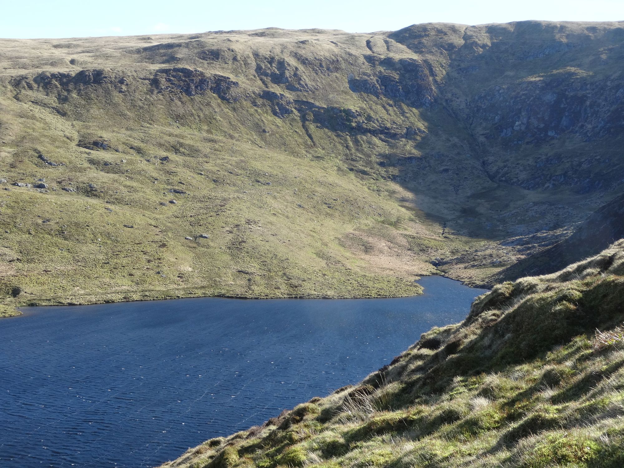
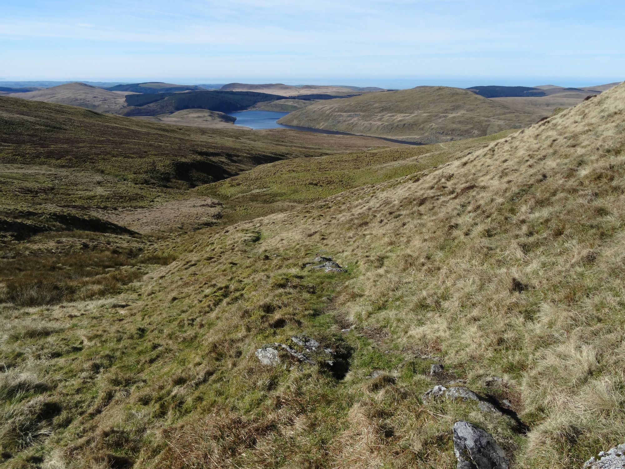
At the third main pool, the track starts to bend round to the right, and even descends a little, but not much height is lost, and you are soon facing into the dark ring of crags overlooking the cwm and small glacial lake of Llyn Llygad Rheidol, the source of the River Rheidol. To the left is Pen Cerrig Tewion (677m). The summit of Pumlumon Fawr is still invisible ahead and to the right, and the waters of the small lake are not seen until you are up close to it.
You will notice that this small lake is actually a reservoir with a dam, although there was a glacial lake here already when the dam was built.
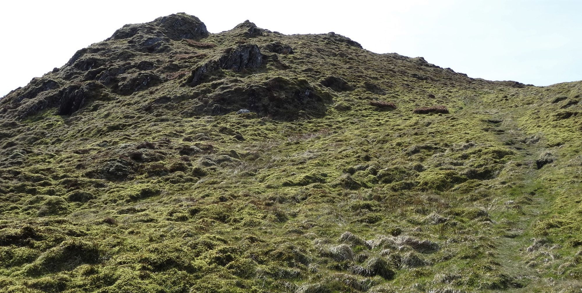
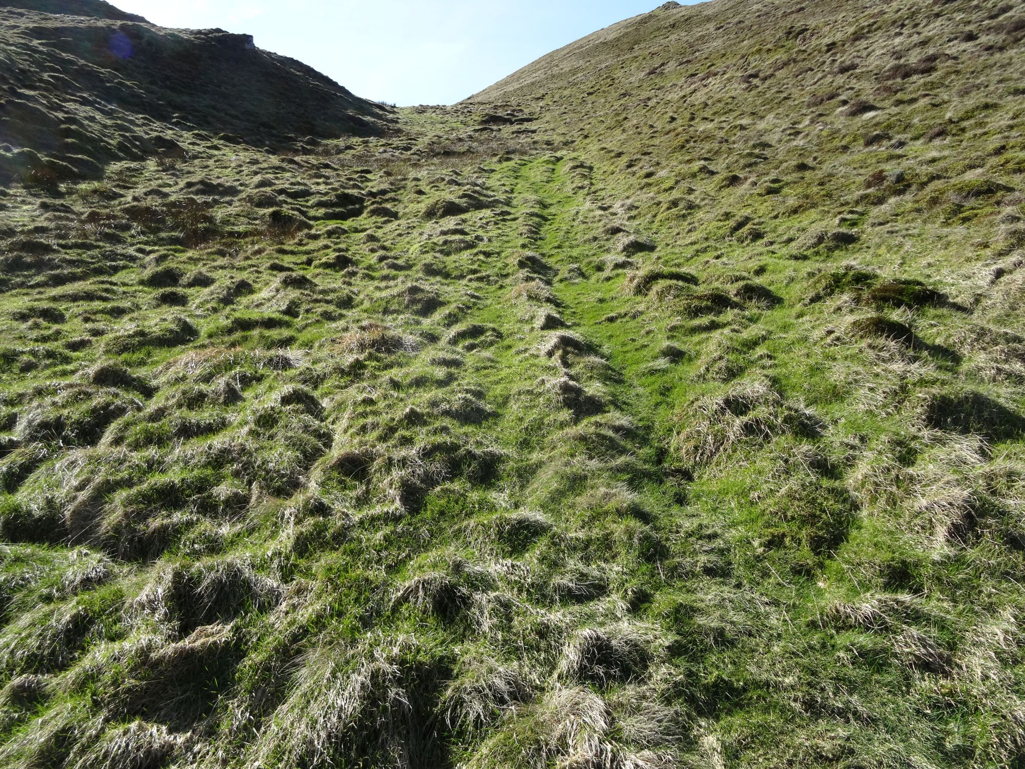
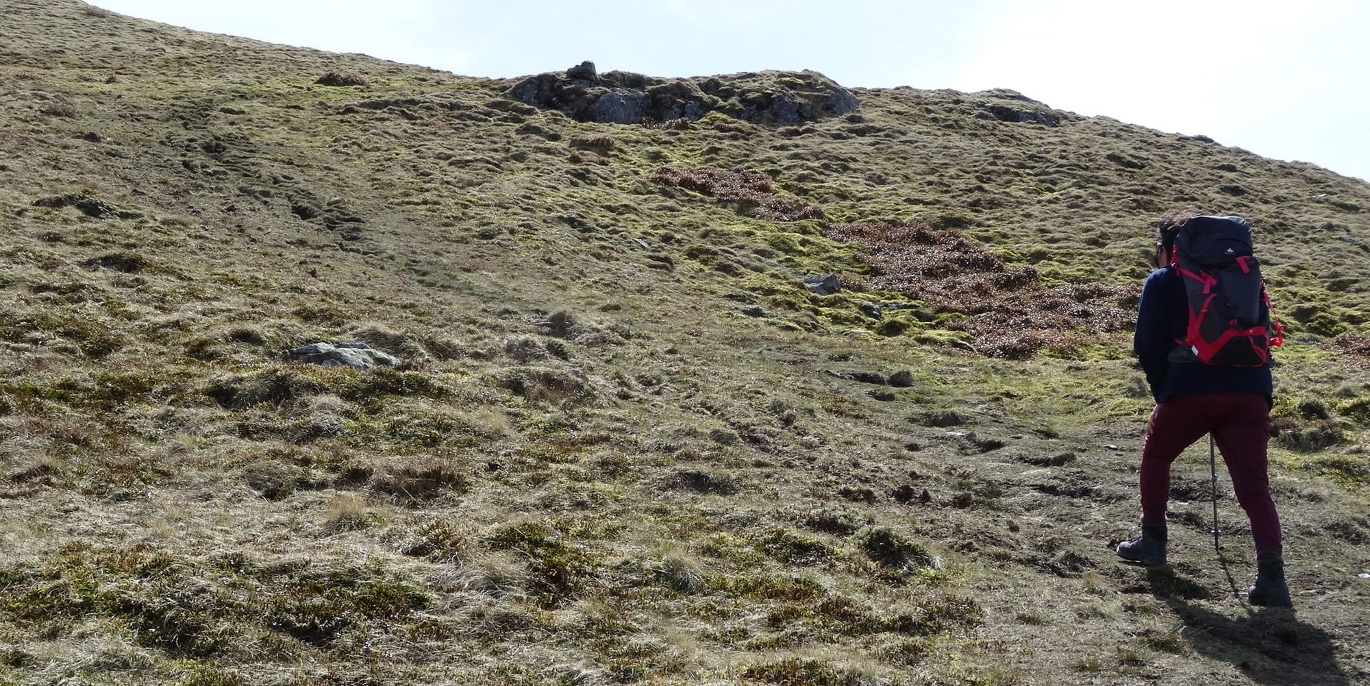
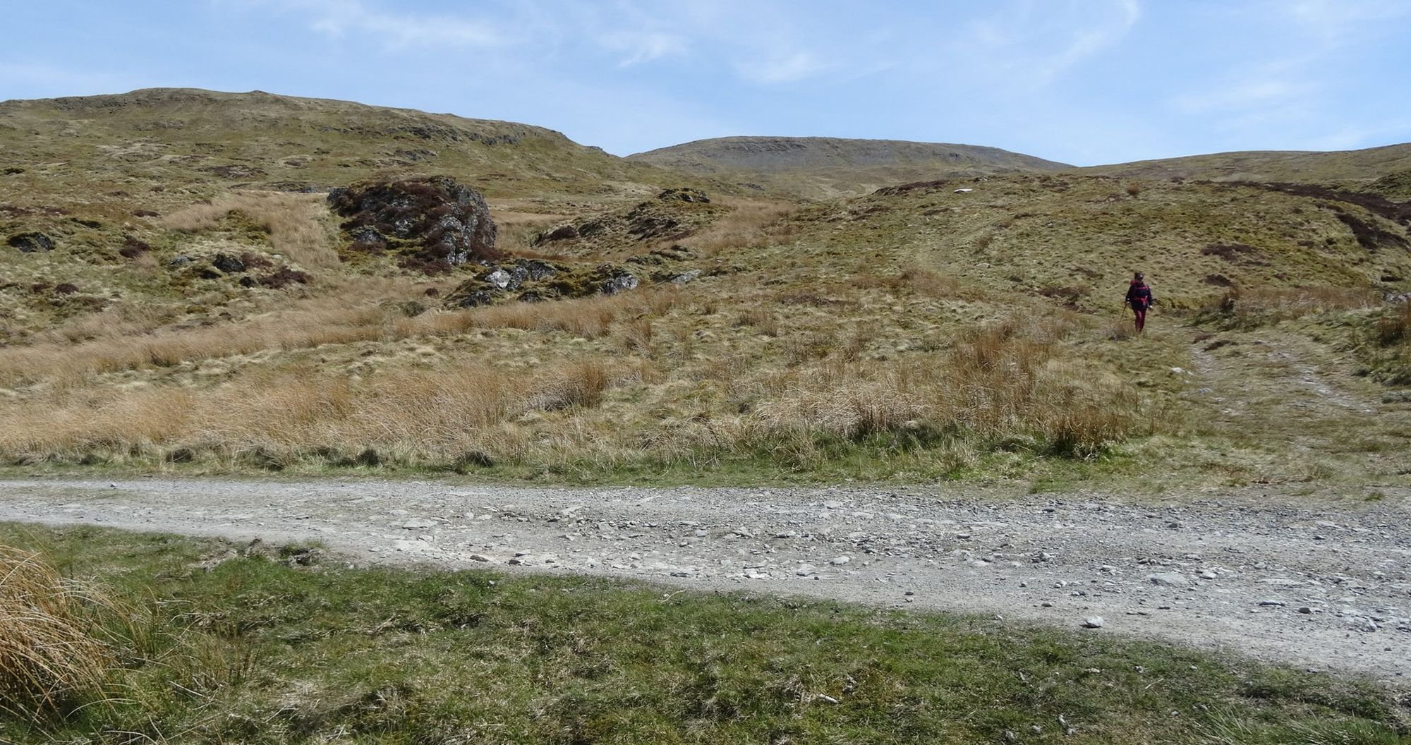
It is just about possible to drive a motorised vehicle right up to this point, and unfortunately some people do, at some cost to their car suspensions. But now the 2 km ‘route march’ is over and the real ascent begins; stop on the track at the very last left-hand bend immediately before the dam is reached. Look carefully to your right and you will see several faint but distinct paths leading uphill off the track at this point. They soon combine, the path at first leads slightly right avoiding a small crag, and then bears left straight up a steep but shallow grassy gulley, with a small scree slope to the right. Look up and notice the shapely pointed crag above... at first you should be heading towards it if you are on the correct route.
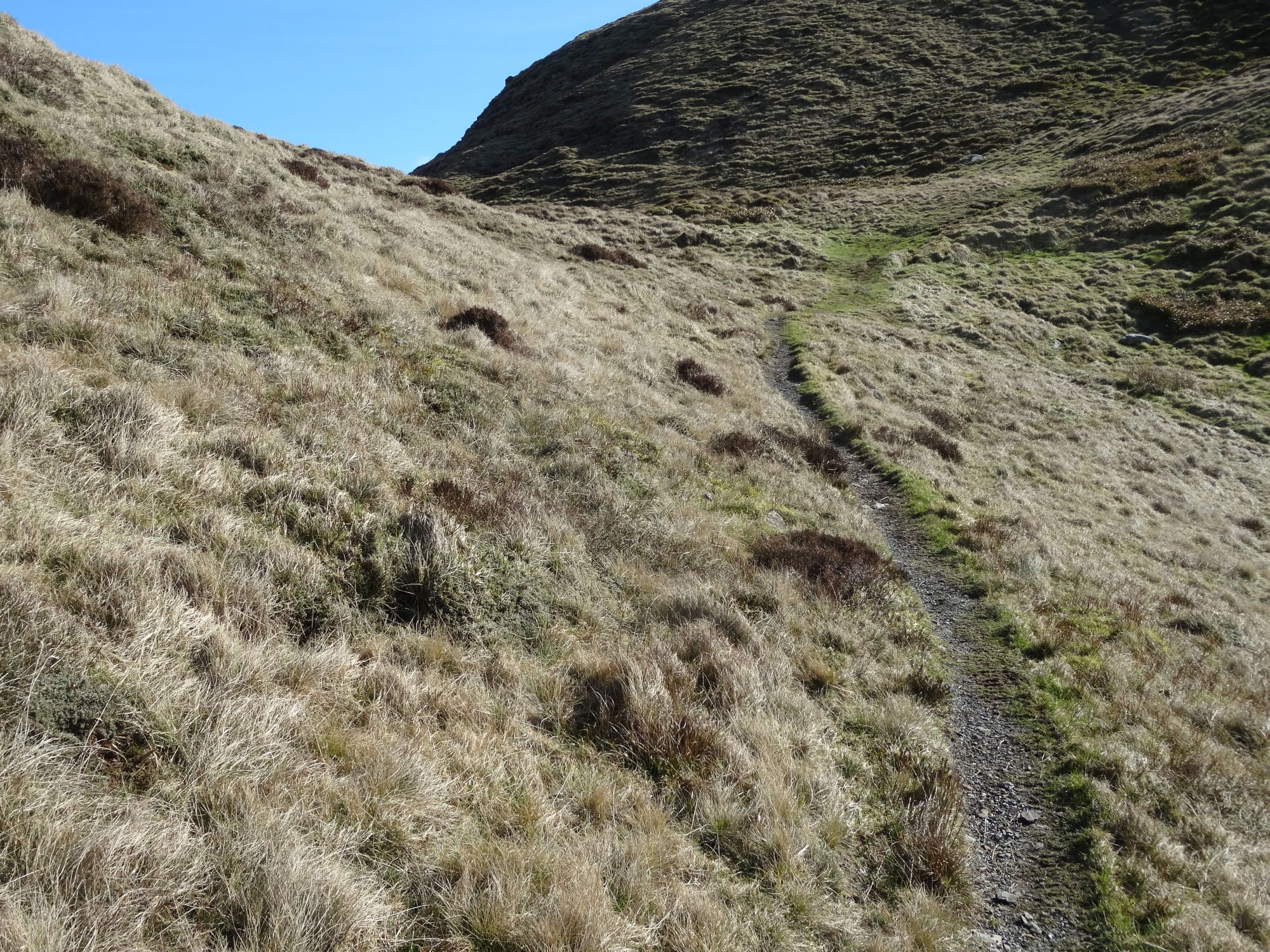
The faint path is easy to follow with care, and it is gradually getting more distinct as more walkers use this excellent route. Climbing rapidly with views of Llyn Llygad Rheidol behind you, there are a couple of good viewpoints off the path on your left. Gradually the gradient eases very slightly as you pass to the right of the shapely crag, and ascend towards the skyline with Pumlumon Fach now looking a bit more shapely on your right.
The slope distinctly levels off now, approaching the ‘bwlch’ (col) at around 650m height.
As an extra to this walk, and very easy, consider taking the faint path off to the right up to the summit of Pumlumon Fach… At a little over 650m (2,113ft), it is regarded as a separate hill in its own right because of the significant descents on three sides. Return the same way after admiring the excellent view from the top.
You have two options just before getting to the highest point of the bwlch:
a) EITHER take an even fainter path left which rises up over a small knobbly outlying peak at 668m. This has a craggy summit and gives good views down towards the north face of the mountain and Llyn Llygad Rheidol below. Drop down the other side to another ‘bwlch’, where you head to the right (west) for a short distance.
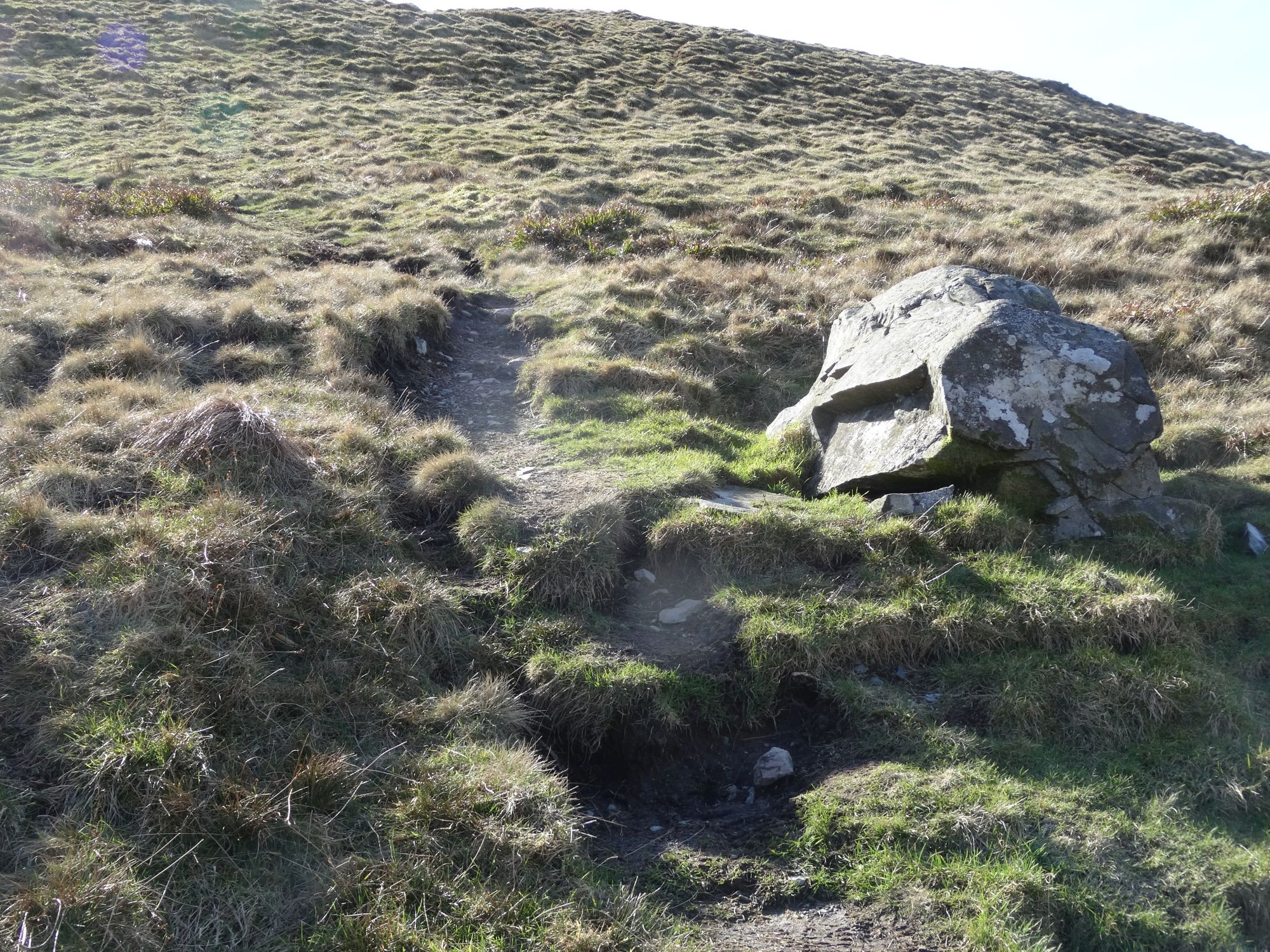
b) OR, keep going straight on and join a more well-defined path which winds left round the base of the small outlying peak and very soon arrives at the bottom of the main ascent onto the Pumlumon ridge.
Taking either route, spot an isolated boulder which marks the beginning of the path leading up to the main summit ‘ridge’/plateau.
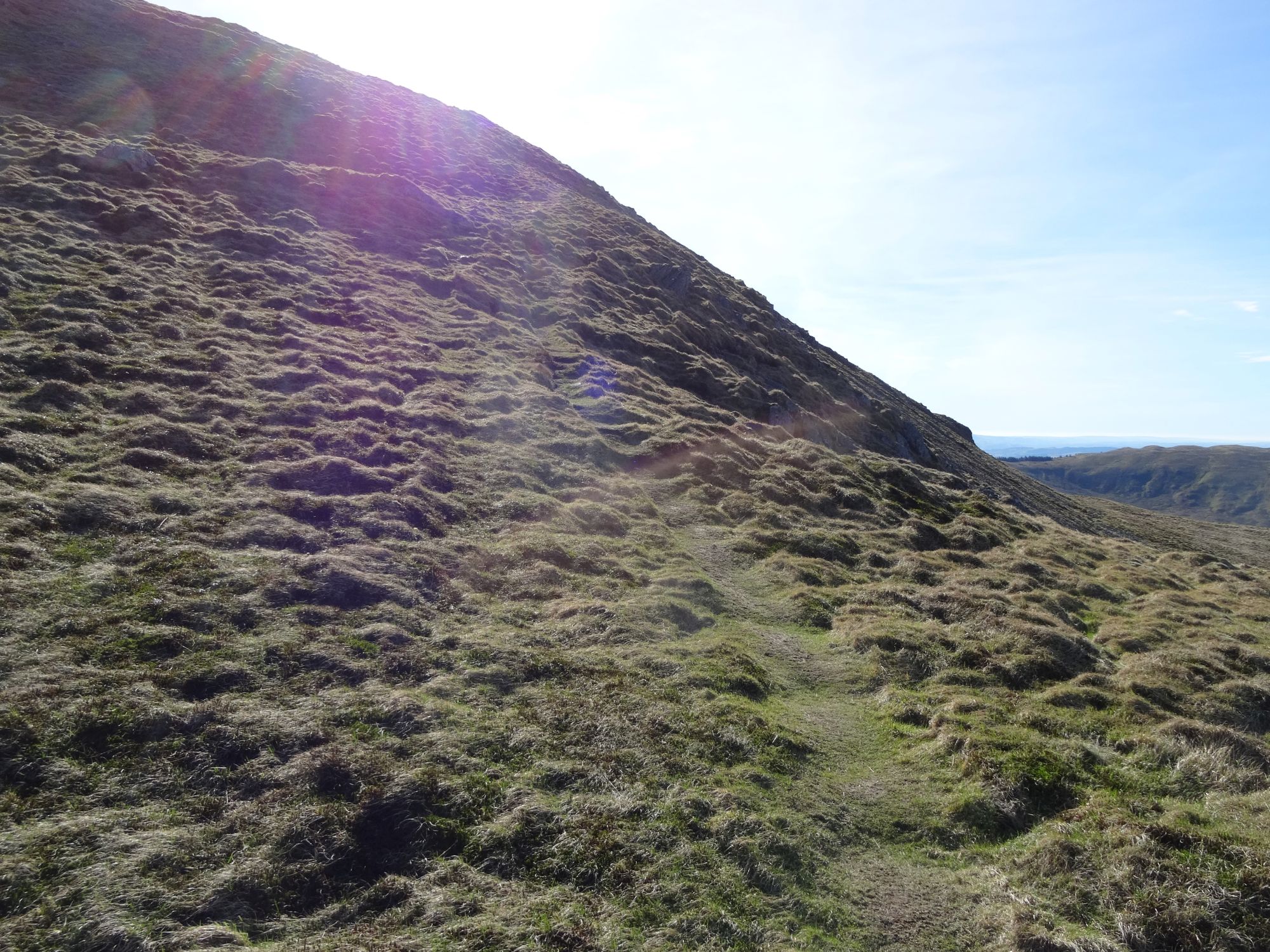
This path is quite clearly defined, and as you ascend steeply, you might gradually start feeling the full force of a westerly wind for the first time… Pumlumon Fawr is higher than any of the hills for quite a distance, so gets the full effects of the weather, whatever the wind direction!
Keeping the steep western scree face on your right, the gradient eases for a ‘false summit’ then steepens again…
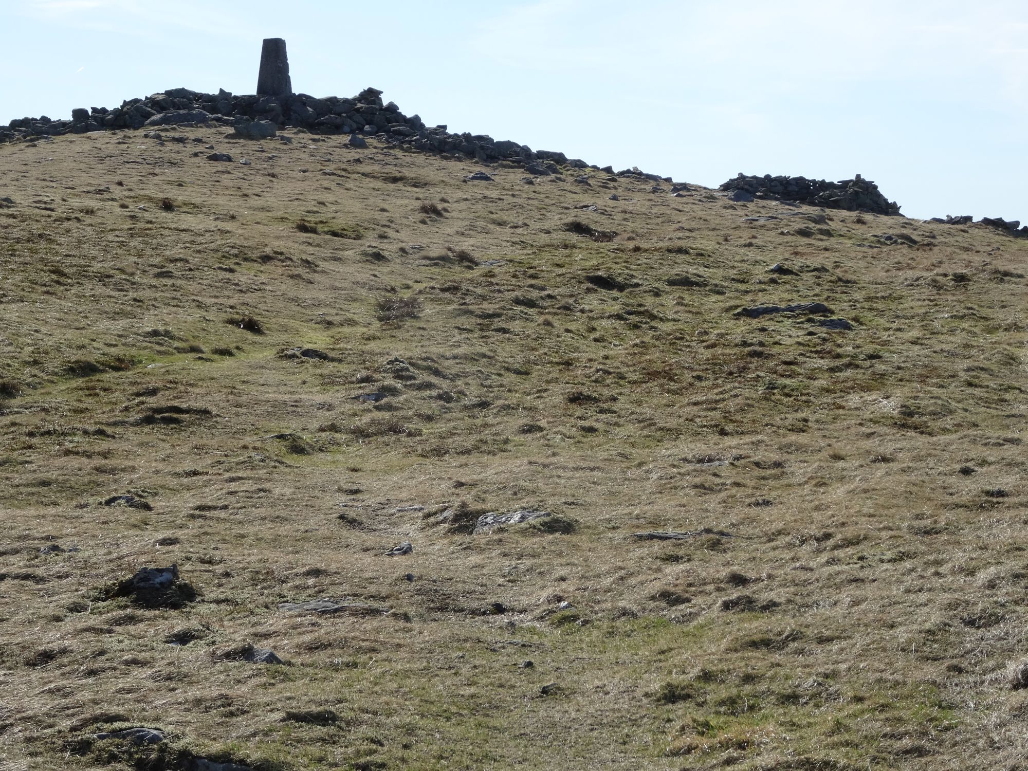
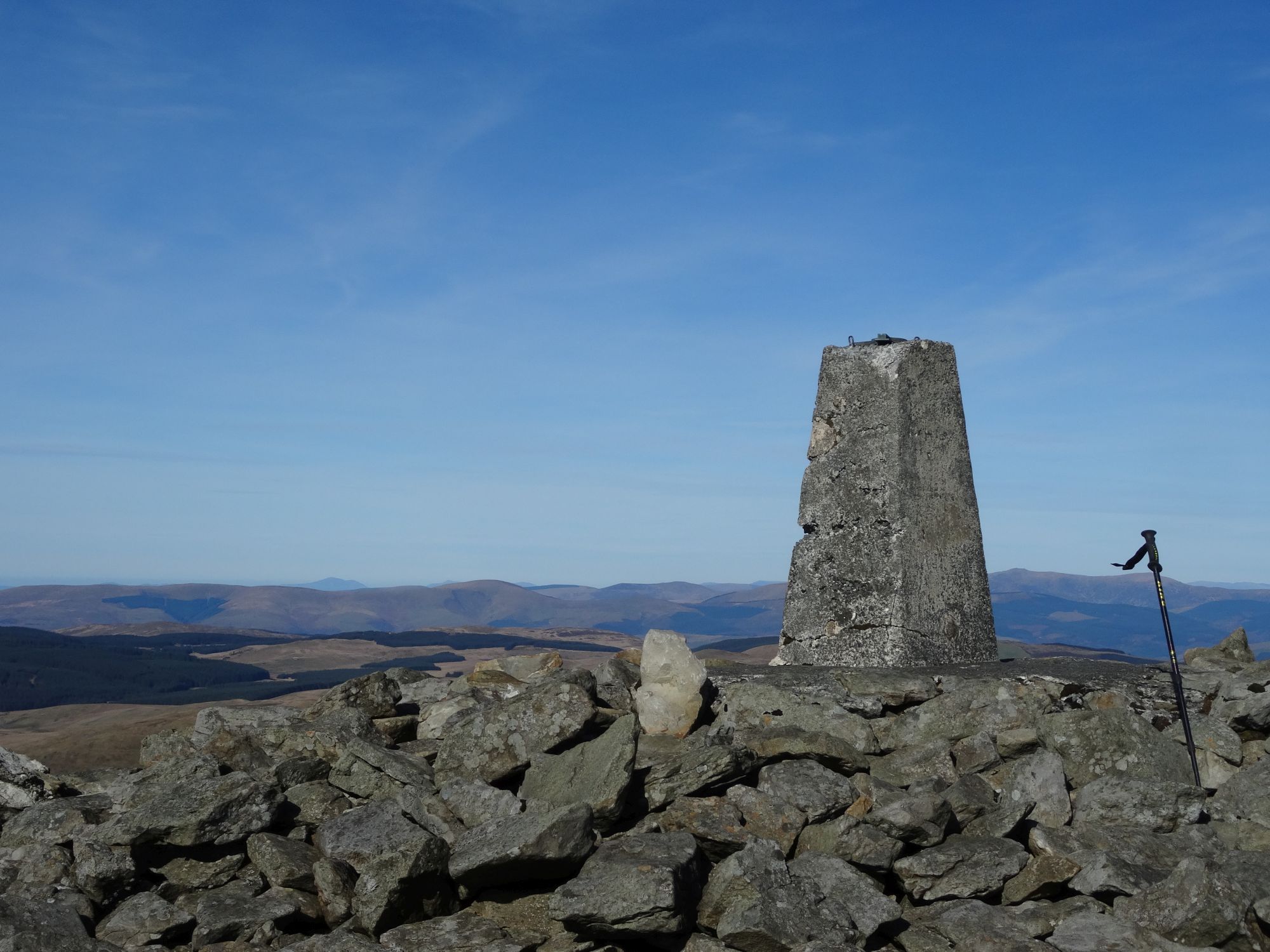
… but eventually as you get to the skyline you will see a small cairn by the path (add a stone if you can!), and a much larger one over to your left, which marks the northern end of the summit plateau. Then you will see the trig point and summit shelter ahead of you. It is an easy gentle incline up to the trig point on short, tough, weather-beaten grass.
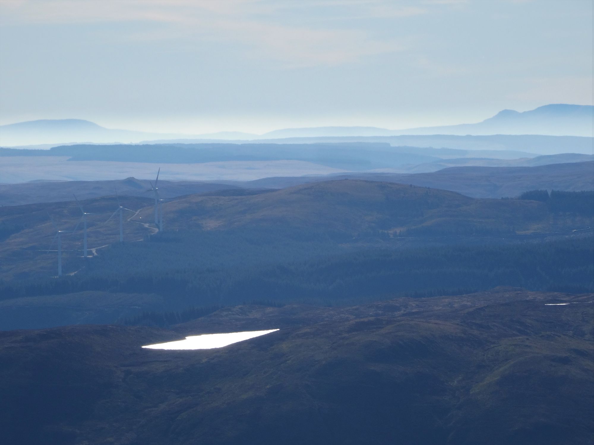
Take your time to admire the justifiably famous panorama from the top of Pumlumon Fawr! Without intervening high hills, on a clear day you can see Snowdonia to the north, the Brecon Beacons to the south, and as far as the English border (Moel y Golfa, and the Long Mynd) to the east. To the NNW, the whole Cadair Idris range is seen side-on, and to the NNE the distinctive conical point in the distance is Aran Fawddwy.
 South (telephoto lens)
 NNW
NNW
 NNE
NNE
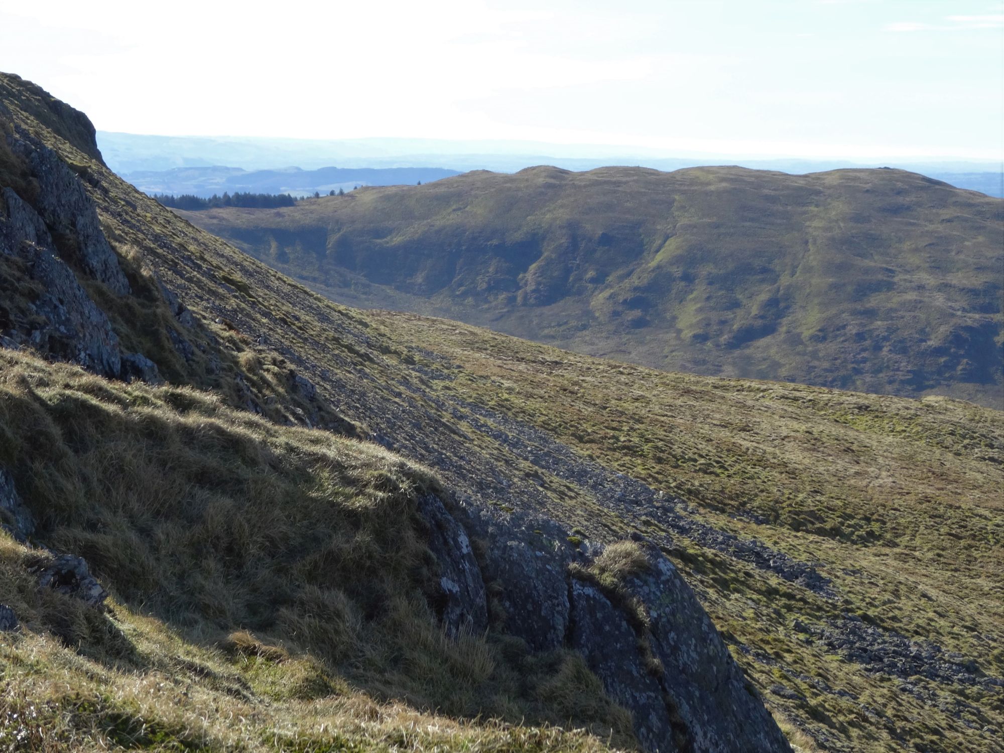
A distinctive feature to the west is the nearby dark plunging profile of the Craig y Pistyll gorge, and the town and coastline beyond.
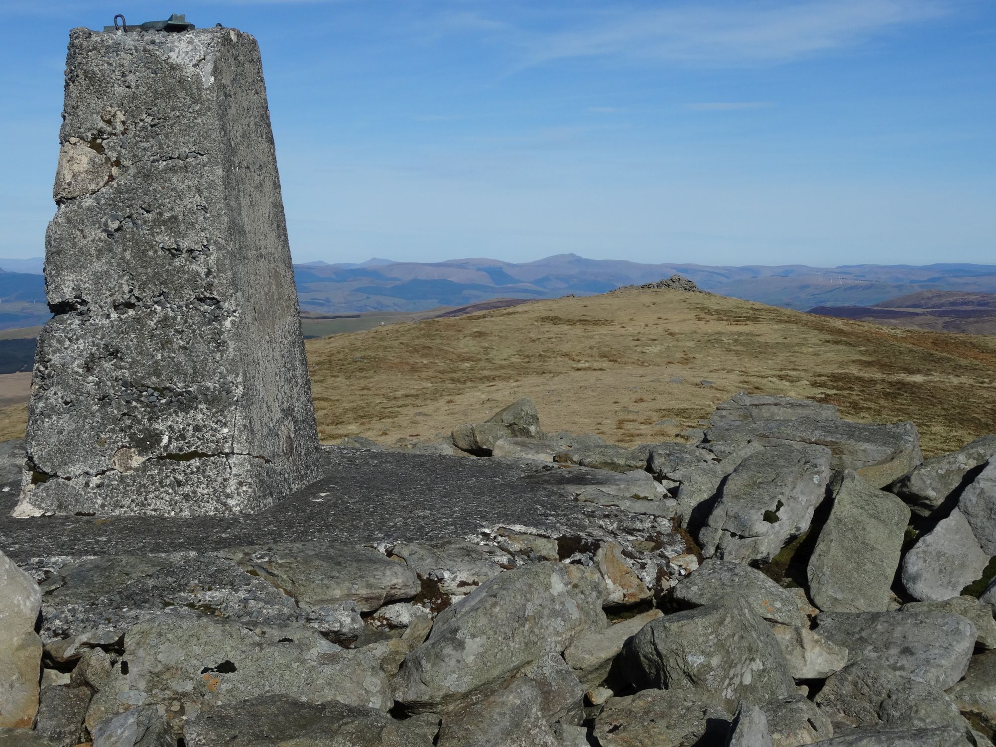
When ready to depart, head towards the large cairn on the NNE end of the summit plateau, but bear left before you get to it, aiming for the smaller cairn that marks the path. Descend to the bwlch between the main mountain and Pumlumon Fach by the same route you came up, arriving at the ‘marker boulder’ once more.
After the boulder go straight ahead, but very soon notice a diverging path, branching off to the left which seems to cut off a corner in the main path and then rejoin it further down. This is somewhat boggy after rain, so it may be best not to take this diversion.
Either way, don’t go right on the path you came up, but go left on the more distinct path down the side of the shallow gulley formed by the Maesnant stream on the western side of Pumlumon Fach. This route is now becoming known as the ‘Maesnant Path’.
Follow the path with the Maesnant stream well over to the left and slightly below you, your way gradually curving rightwards, heading down towards the eastern arm of Nantymoch reservoir. As you descend, negotiate a few short steep inclines in the path and some boggy patches. Try to avoid losing the path and heading into exhausting tussocks, and eventually it widens out and you reach the stony track from much earlier in the walk...
Go straight across it, if anything slightly to the right, and immediately splosh carefree through standing water and bog. Pick up the path the other side, jumping across the deep water of a stream, and retrace your steps from the beginning of the walk back to your waiting vehicle.
Paul Campbell:
Feb 09, 2022 at 08:27 PM
Wow that looks an amazing walk. The landscape is really nice. It sounds like a good walk for the summer, maybe a bit harder in the winter if there is snow or ice around. Stunning photos though, you did really well taking those. It looks very remote there too, do wild animals live there? Good stuff and a good addition to the site.
rseabrook:
Feb 25, 2022 at 01:19 PM
Yes, it really is nice round here. The credit for the photos - and everything else in this section, really - goes to Maurice. I'm just putting it online.