This is a nice easy walk on clearly-defined tracks and paths, much of the height being acquired on the drive up to the starting point. It also has the advantage of presenting no real navigational problems, takes in the less-visited but enjoyable subsidiary peak of Y Garn, includes Pumlumon Fawr summit, and in the later stages gives quite a ‘wild’ feel with minimum effort. It is also easy to find the starting point on the main road, and so might be regarded as a convenient introduction to the area. Against that, Eisteddfa Gurig is an ugly mess of buildings and electricity pylons that even extend some way up the hill, and there are absolutely no facilities in return for your fiver, not even a clear indication of where the walk begins. This was the original and (unfortunately) most popular starting point for walking Pumlumon, but the route up from Maesnant on the other side of the mountain is far superior, and is included on this website. But at least this walk does give that easy amble to the top of Y Garn, which makes it all worthwhile.
of starting point :
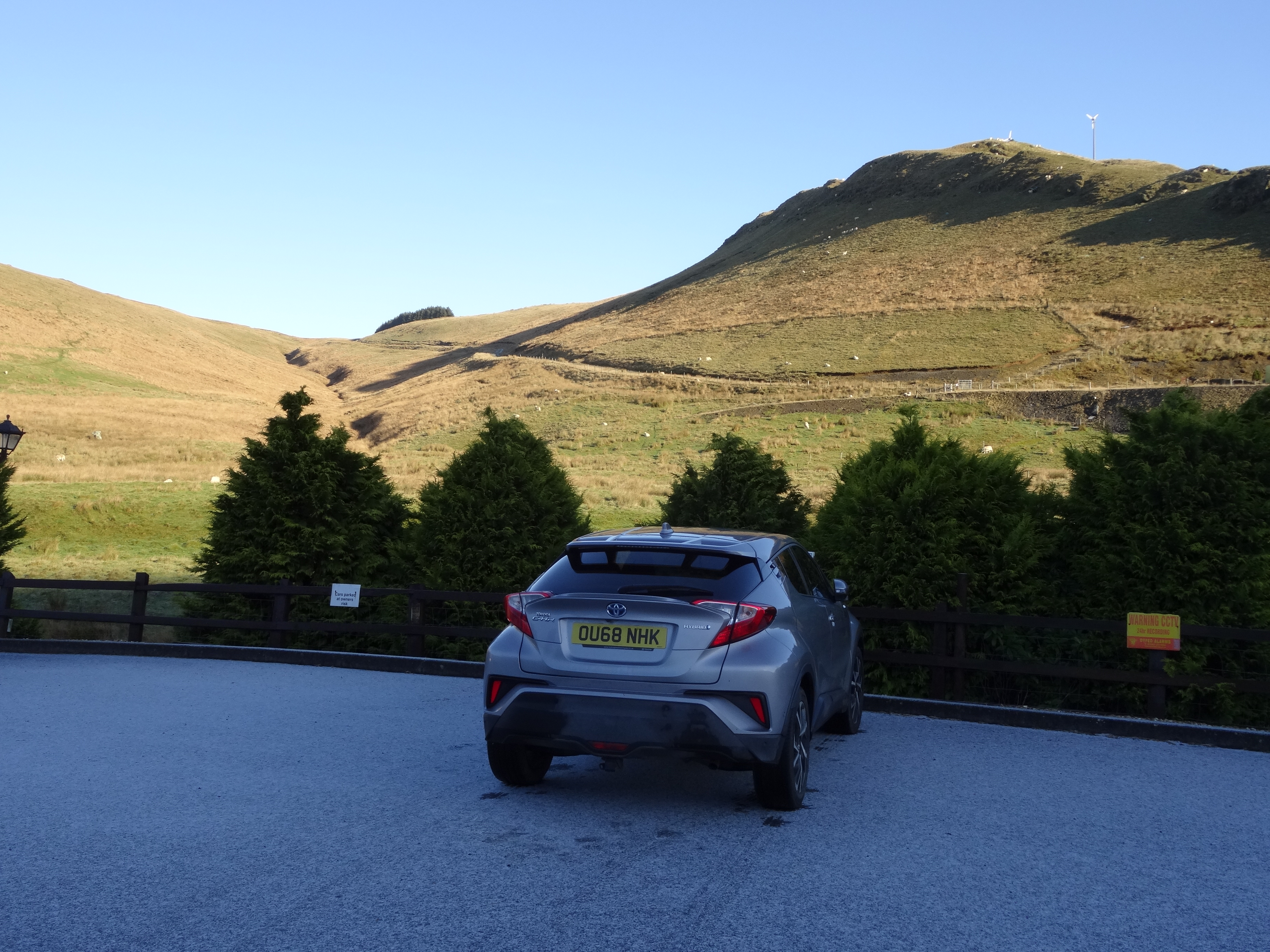
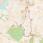
The starting point is Eisteddfa Gurig, which is 16 miles east of Aberystwyth on the A44, immediately before reaching the Ceredigion/Powys county boundary, and at the highest point of the pass at 420m /1,378ft. The car park looks like a wide driveway for the houses clustered round the farm. There is a parking fee here, payable at the first house doorway you pass on the left on starting the walk.
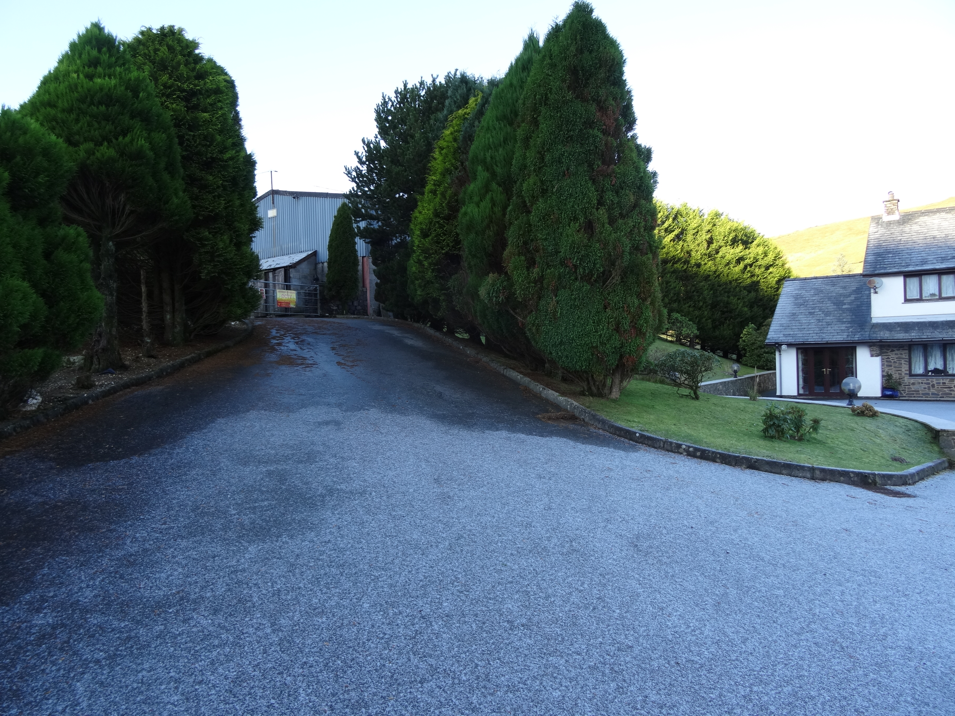
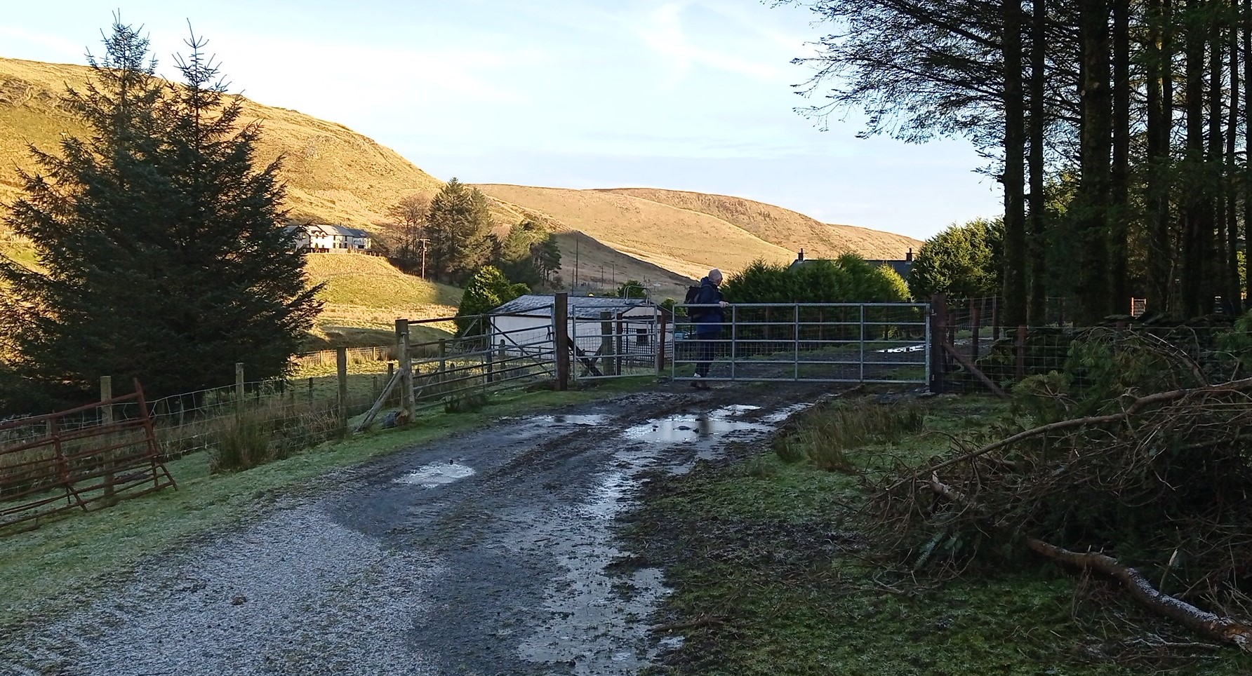
From the car park, walk up the unpromising surfaced driveway between the two lines of conifers towards the metal gate with its discouraging warning signs, leading into the farmyard. After the gate, turn right, and follow the logical route through, noticing a very small waymark on one of the steel barn doors, then turning left and right again.
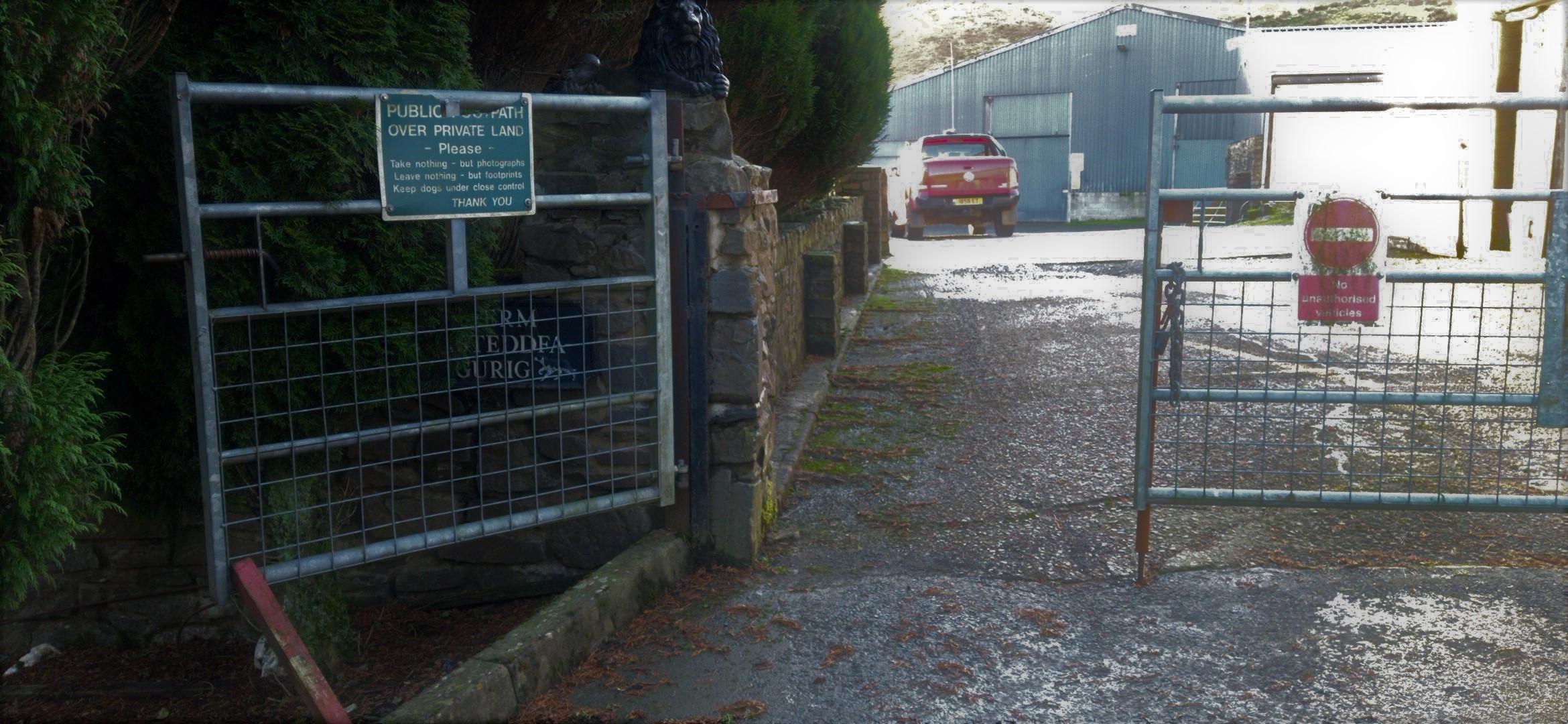

After the last of this group of buildings, by a stand of conifers, the track divides…lower to the right which we will return on, but choose the higher option now, slightly to the left through another metal gate, and carry on up the steadily rising track, ignoring branching off entrances to various parking areas and outbuildings.
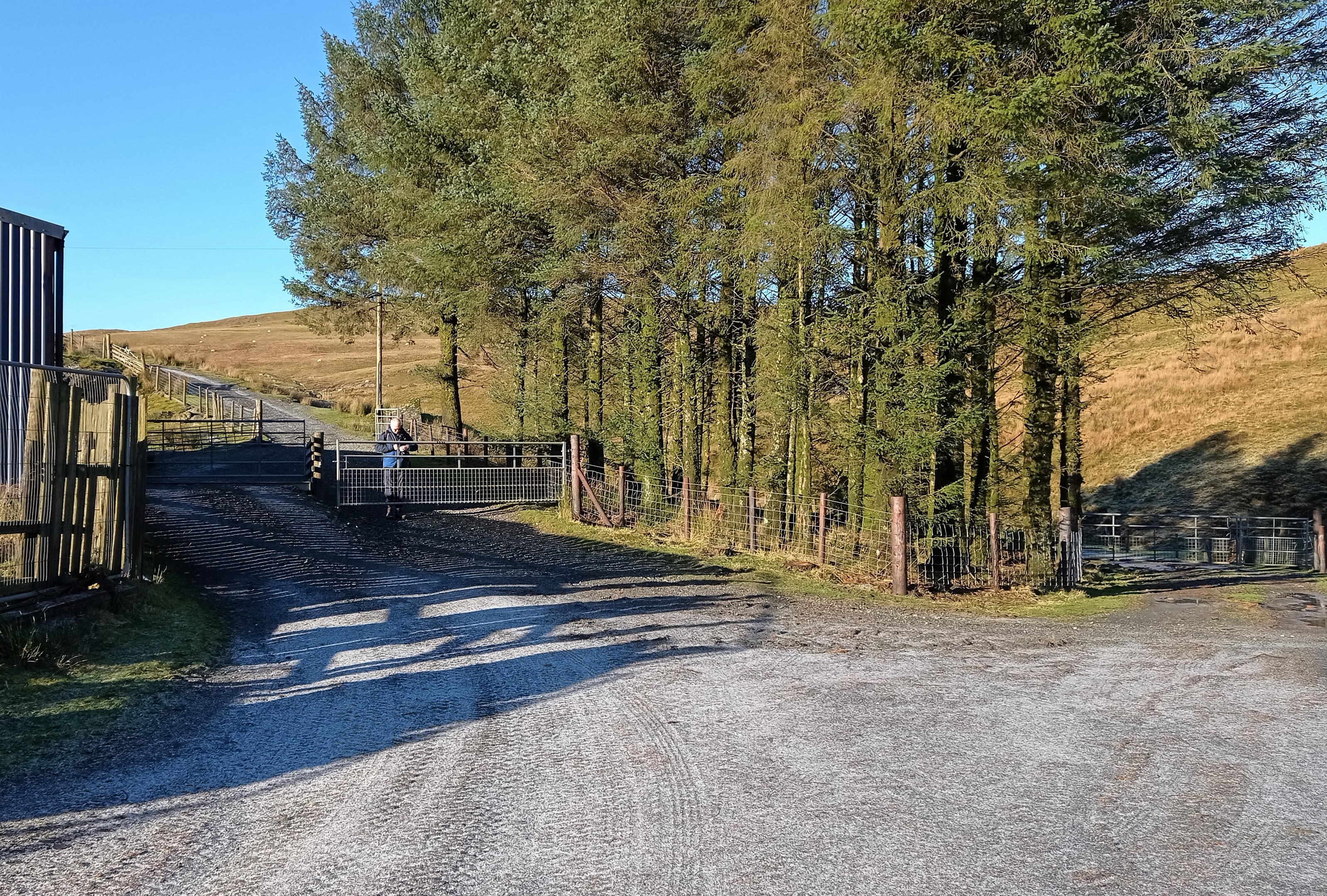
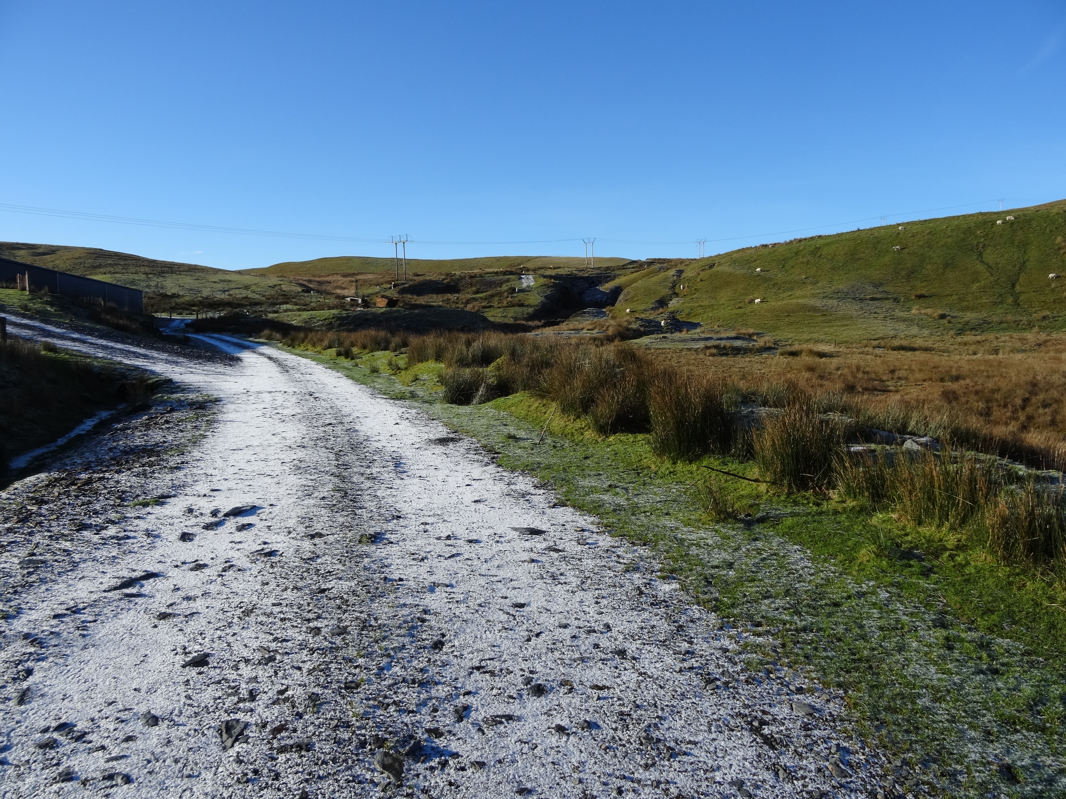
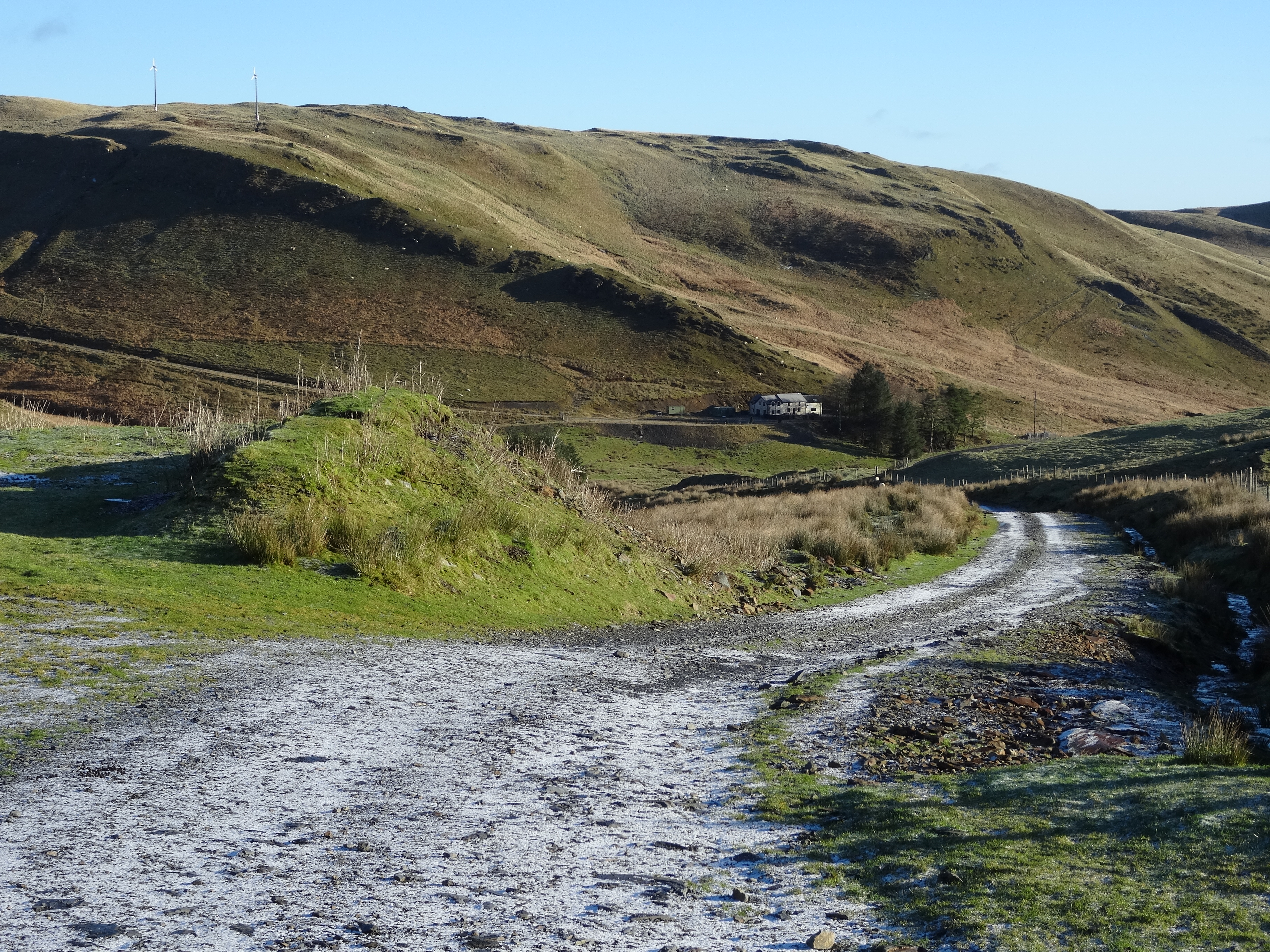
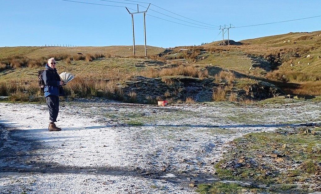
After leaving the last building behind, carry on up the winding track, until you reach the edge of a forest at the top of the hill.
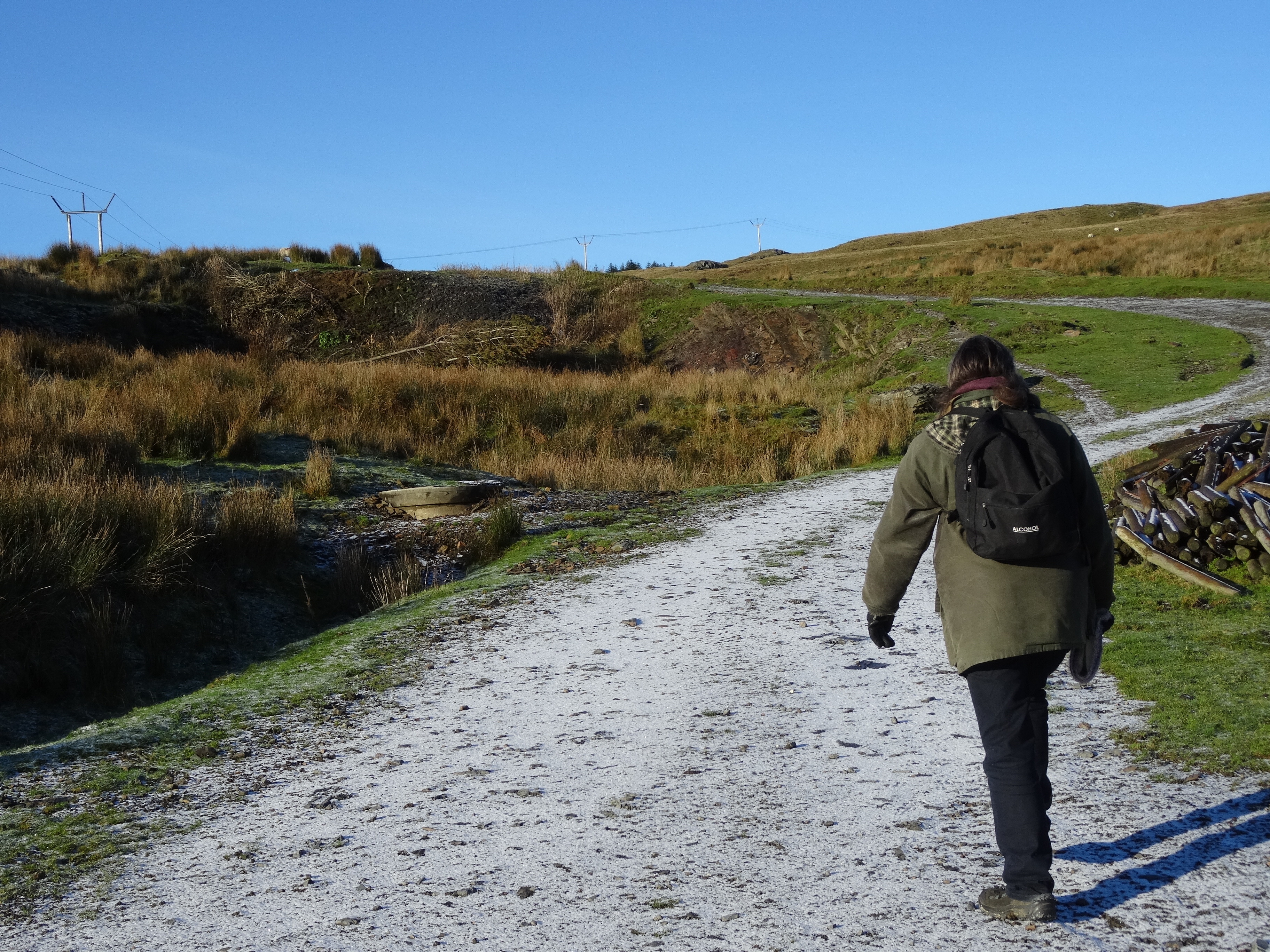
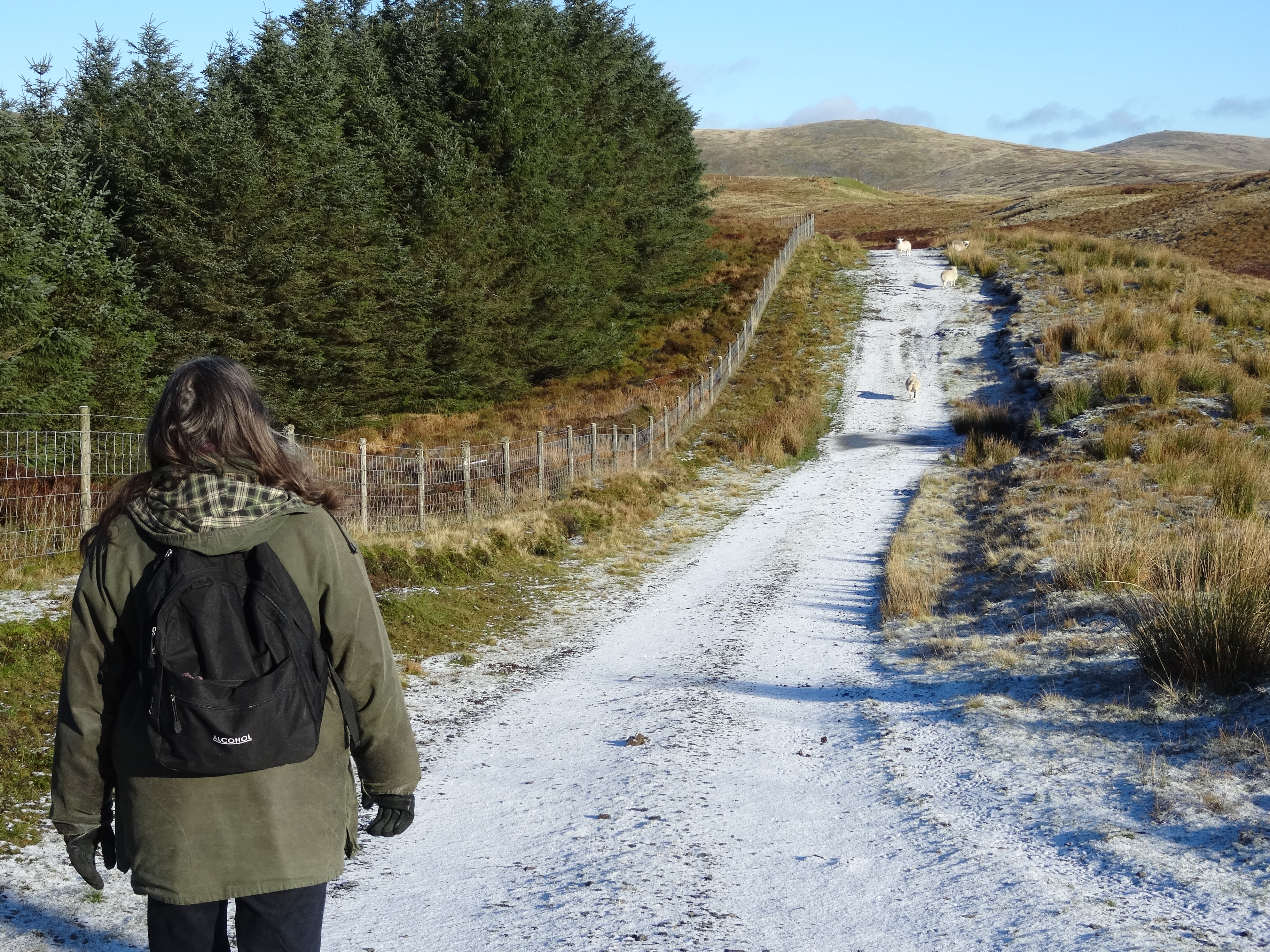
Here, follow the track right as it joins another faint path (from the left) and walk along parallel to the forest edge.
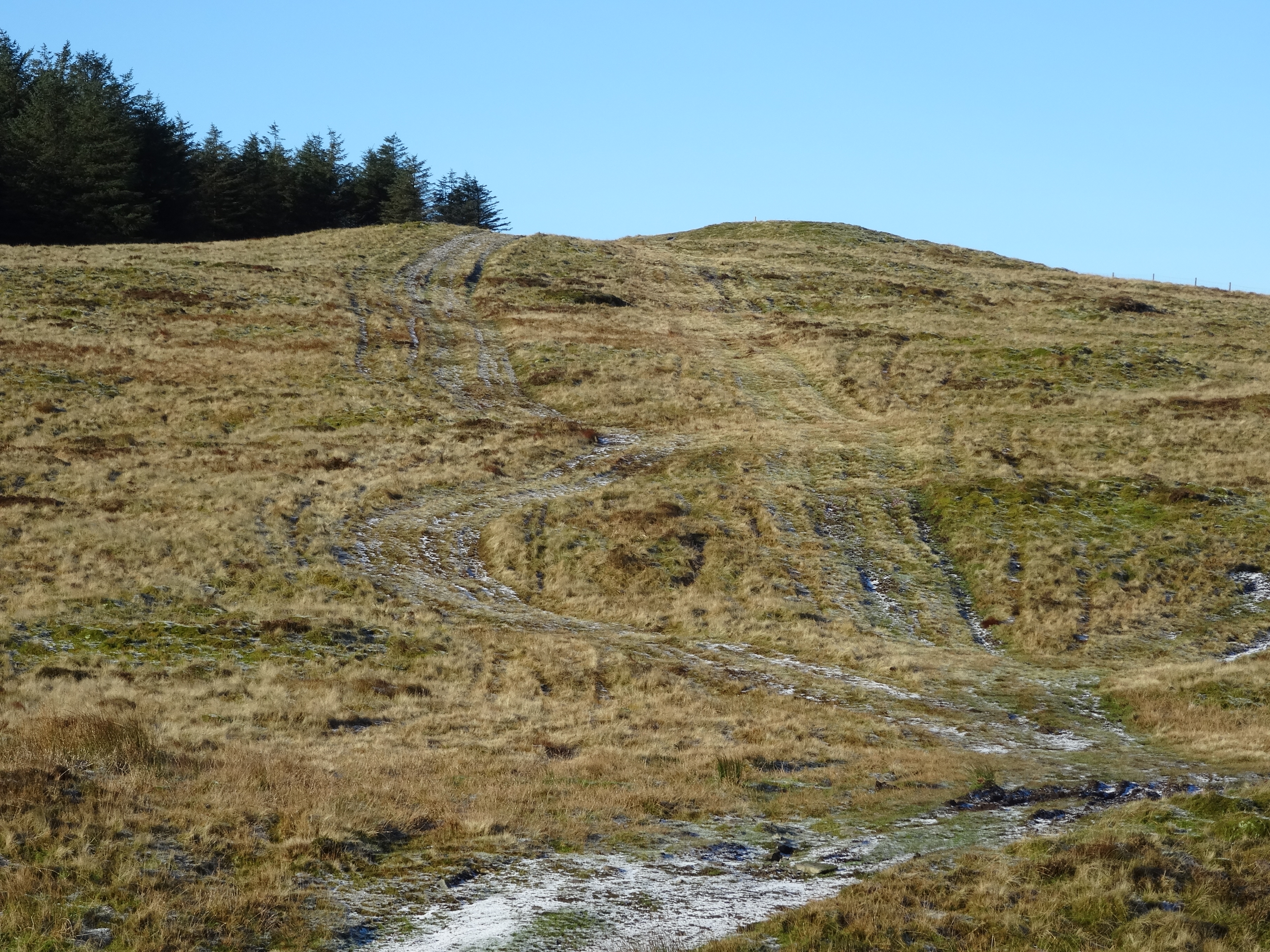
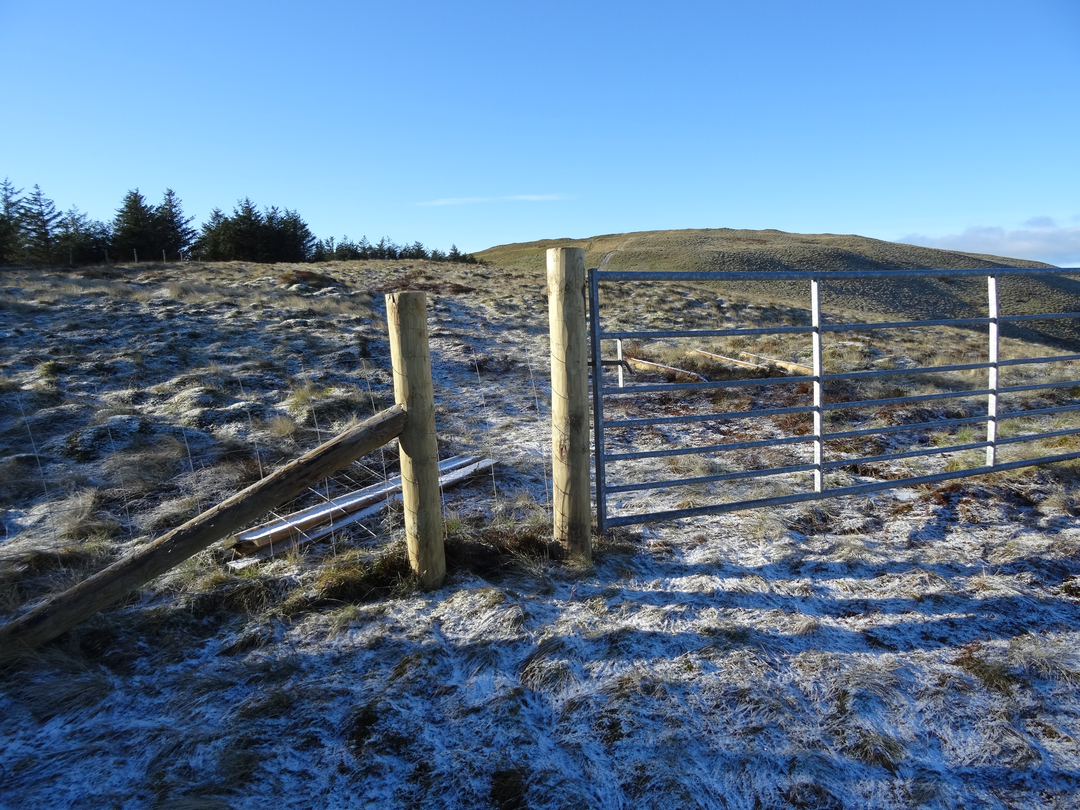
Go well beyond where the track diverges from the forest edge until you see a much less distinct path turning off to the left, heading uphill. Quad bikers have had fun creating a mess of tracks here…follow the best one uphill towards a high corner of the forest, where there is a gate through an old rusty wire fence that runs from this forest corner towards the very broad south ‘ridge’ of Pumlumon Fawr to your right.
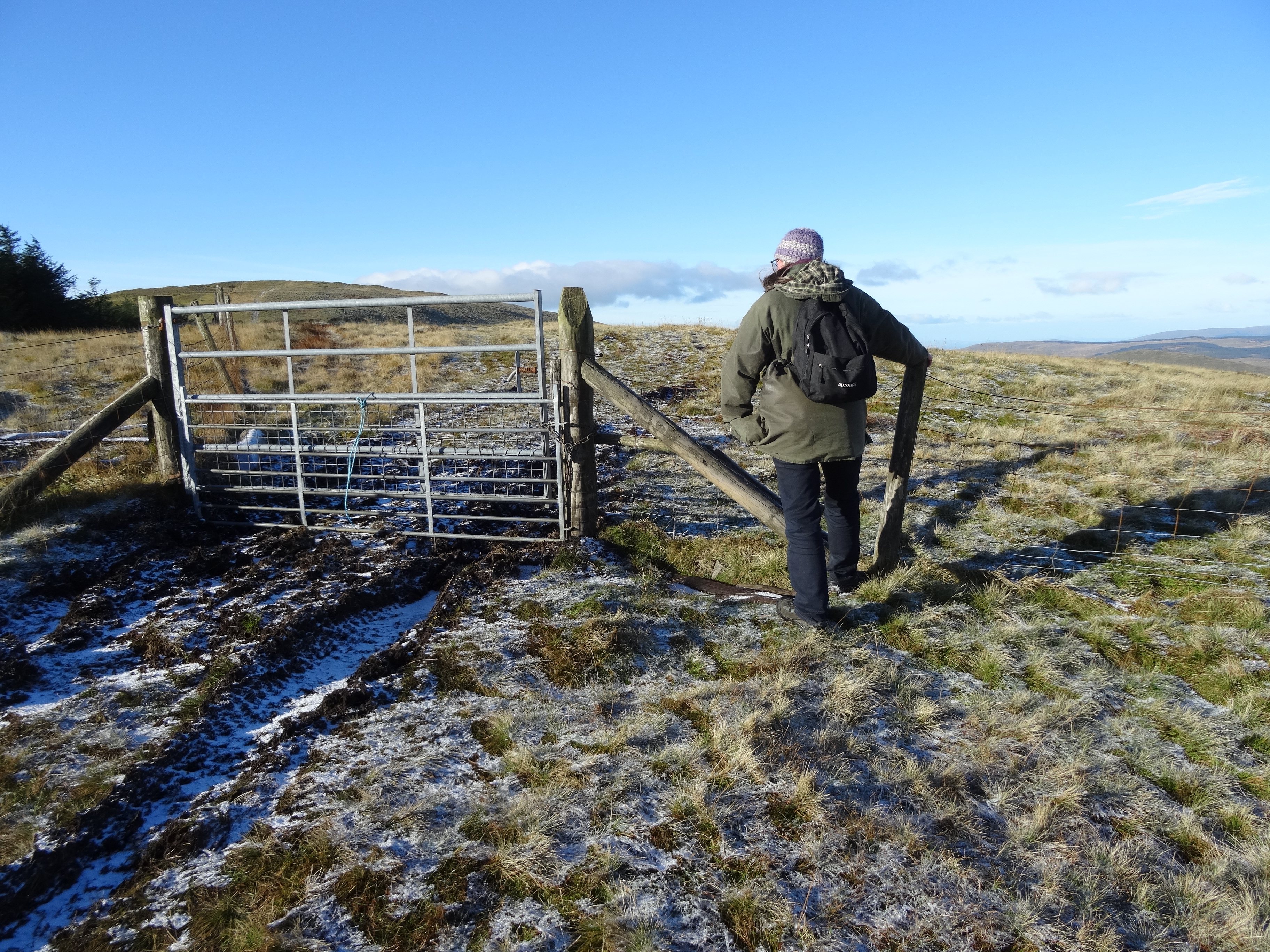
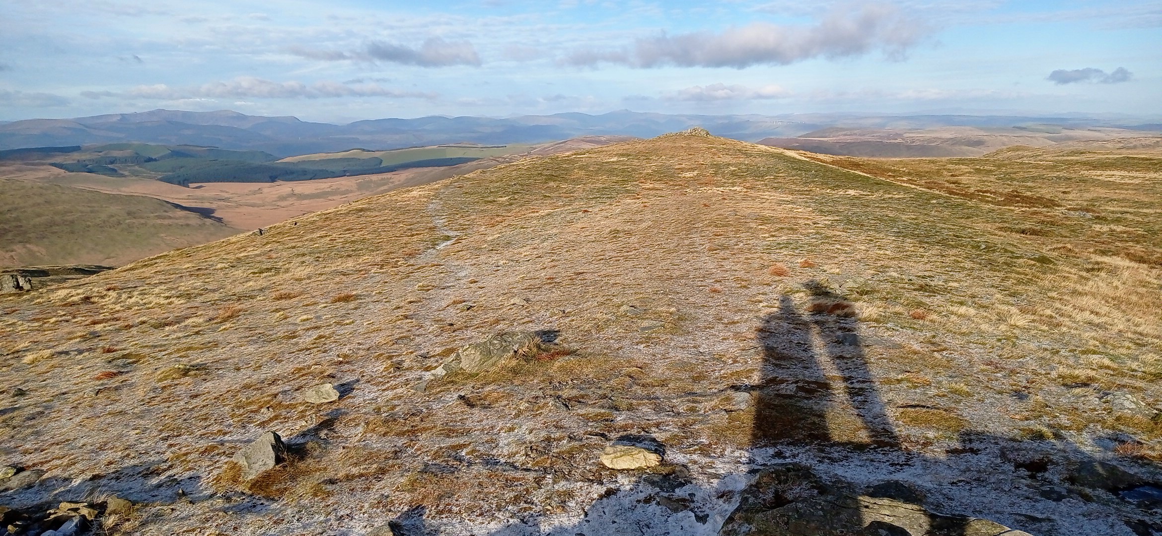
Go over the fence or the gate here, and head straight on, soon joining the edge of the forest again, through a couple of gates on the way. Leaving the forest behind, the view begins to open out nicely, and ahead is Y Garn with two obvious choices for walking up …alongside the fence on a narrow walkers’ path, or taking the quad bike track with its clear route up. The lumpy top of Y Garn is a roller-coaster ride, but eventually you arrive at the furthest and highest ‘lump’ and its summit cairn with great views all round. There are at least four Y Garns that I know of in Wales, two in northern Snowdonia and number three just north of Dolgellau, so I call this one ‘Y Garn 4’ although it is the second highest of the four.
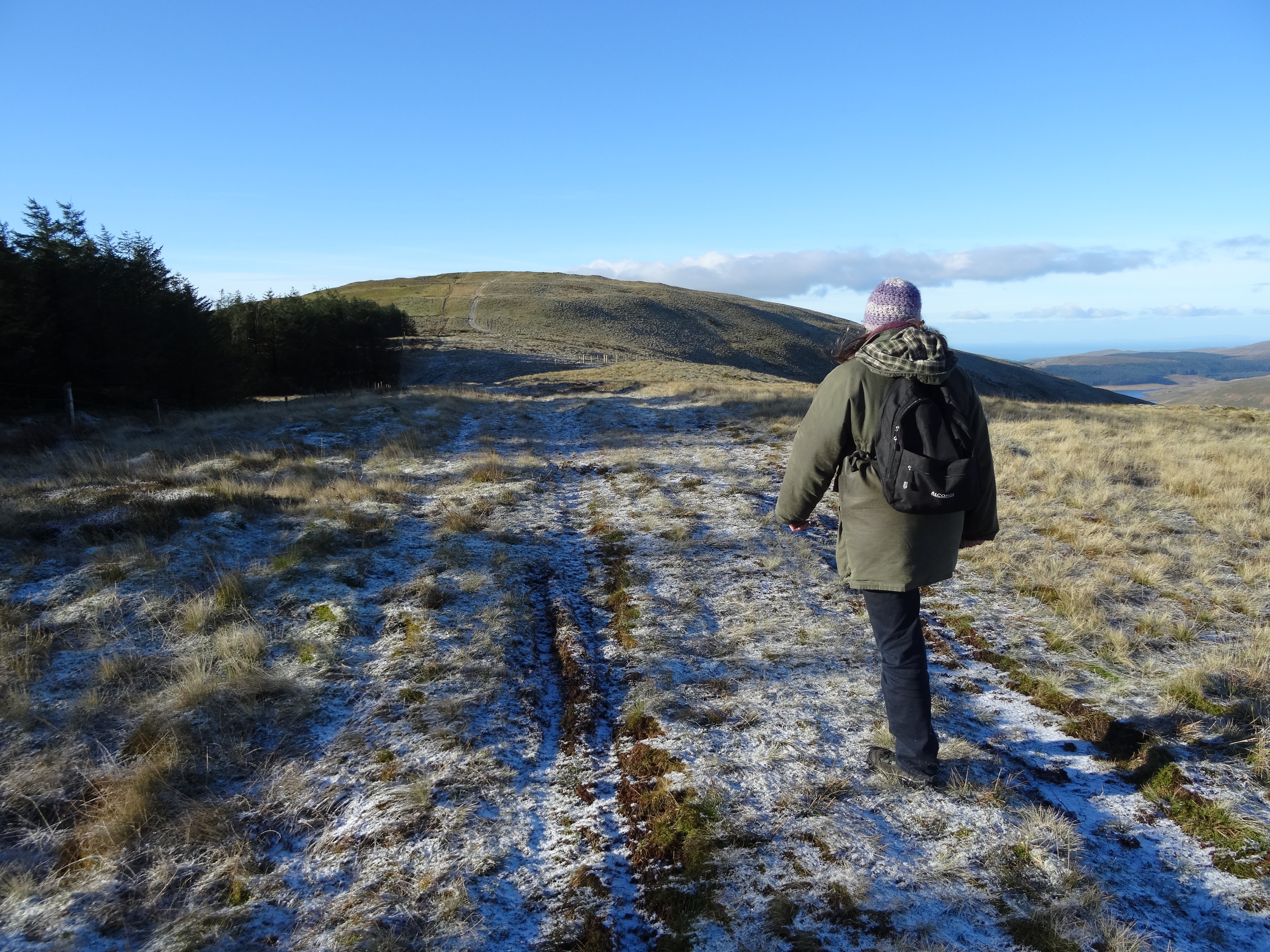
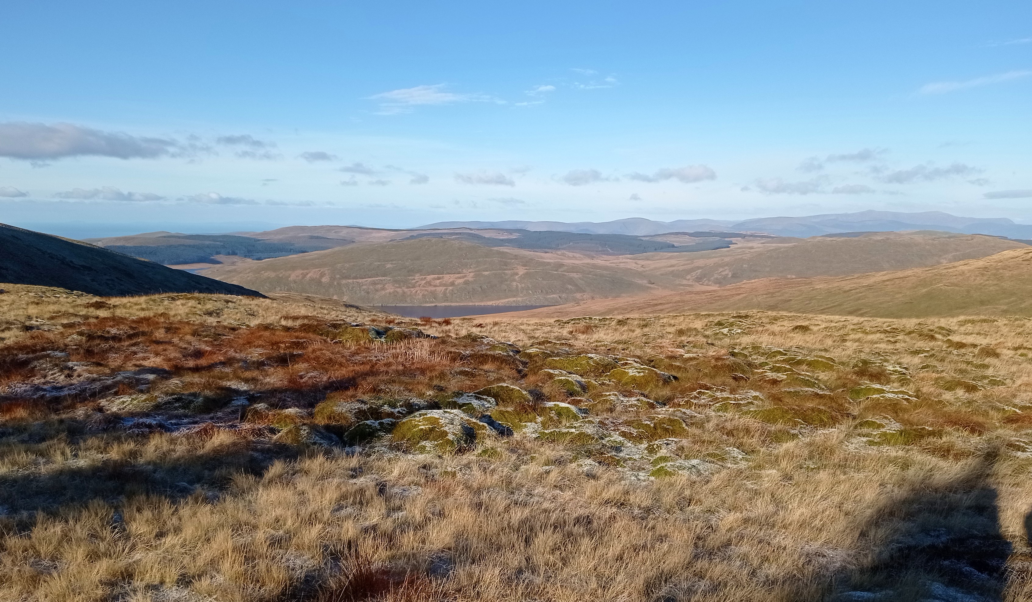
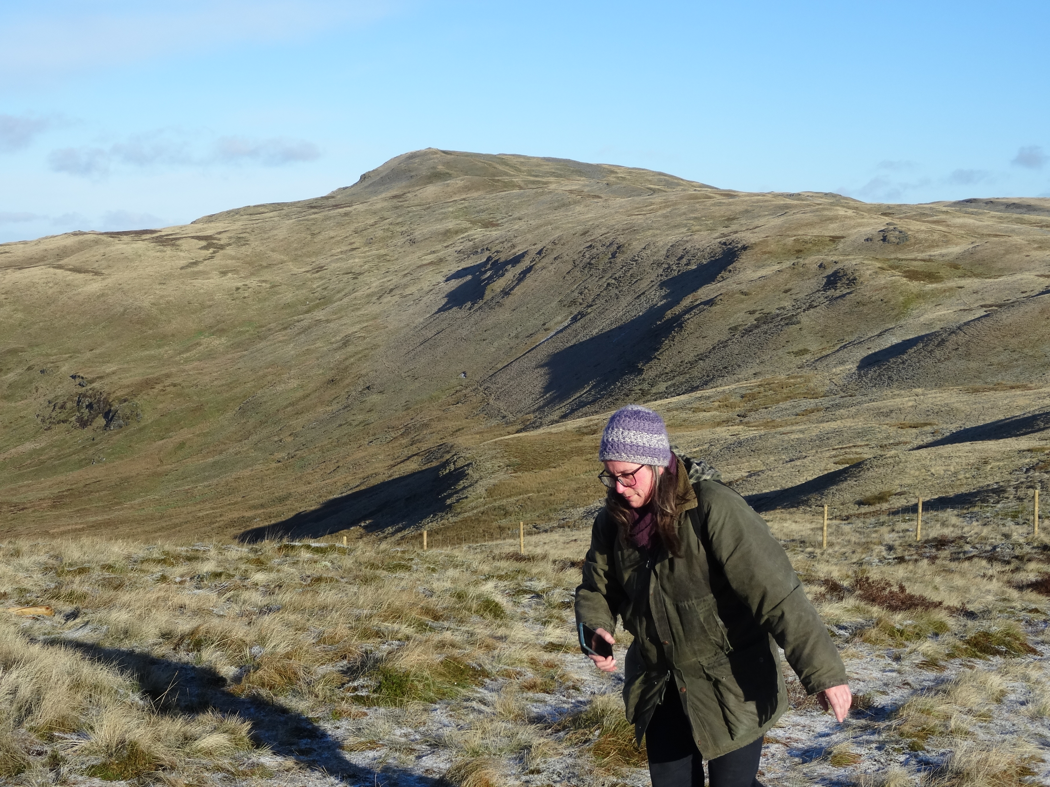
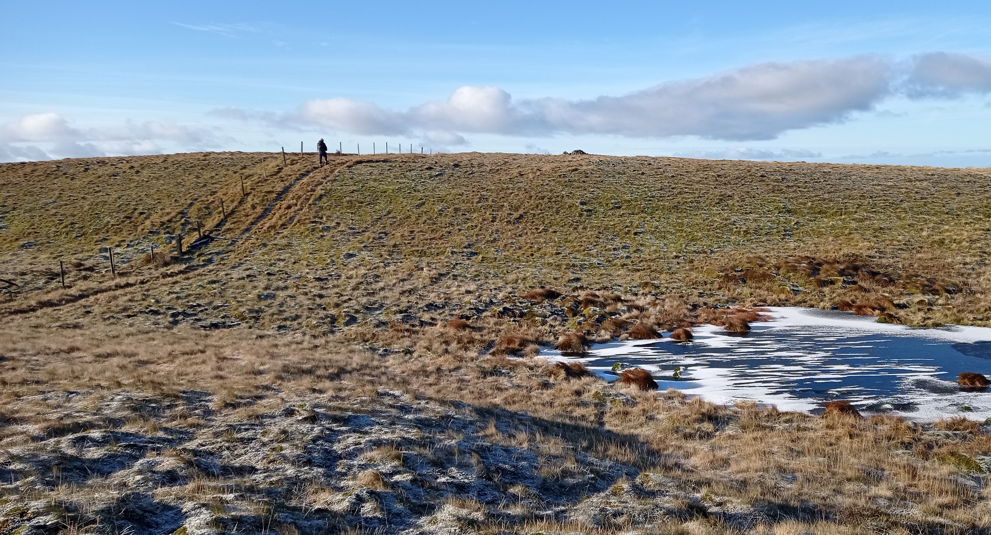
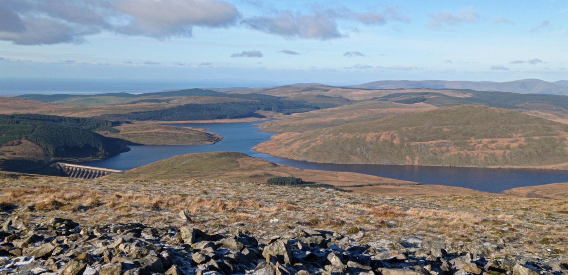
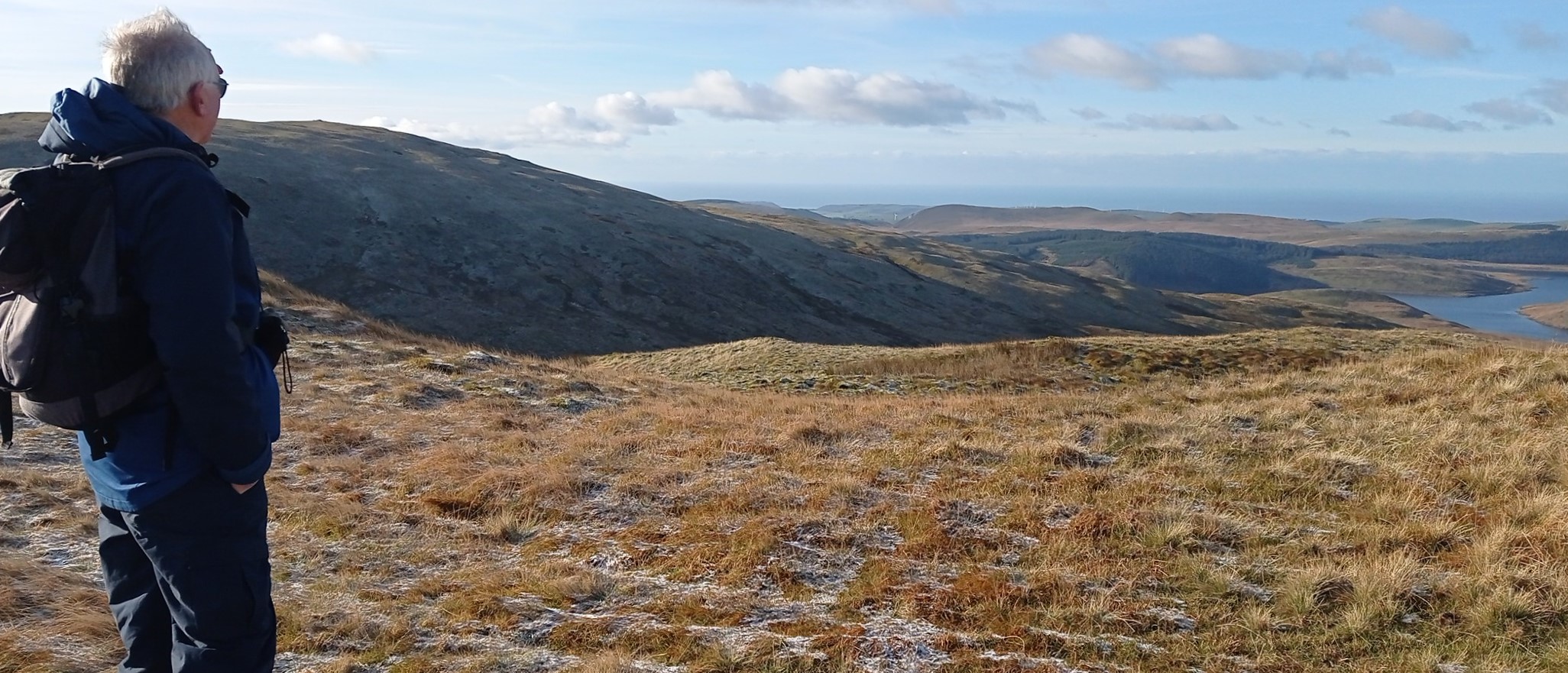
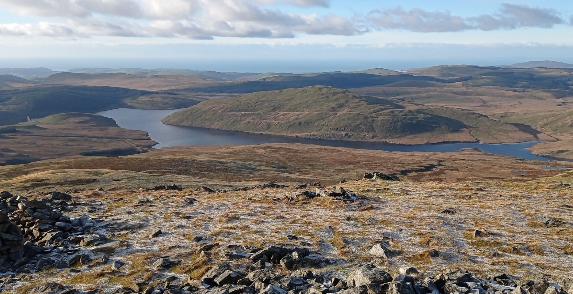
From the summit, admire the views of Nant-y-moch Reservoir and Pumlumon Fawr, (see pics), before heading back the way you came alongside the fence, back to the forest edge. You have to walk right back to the corner of the forest, at point 6, with the rusty wire fence and awkward gate.
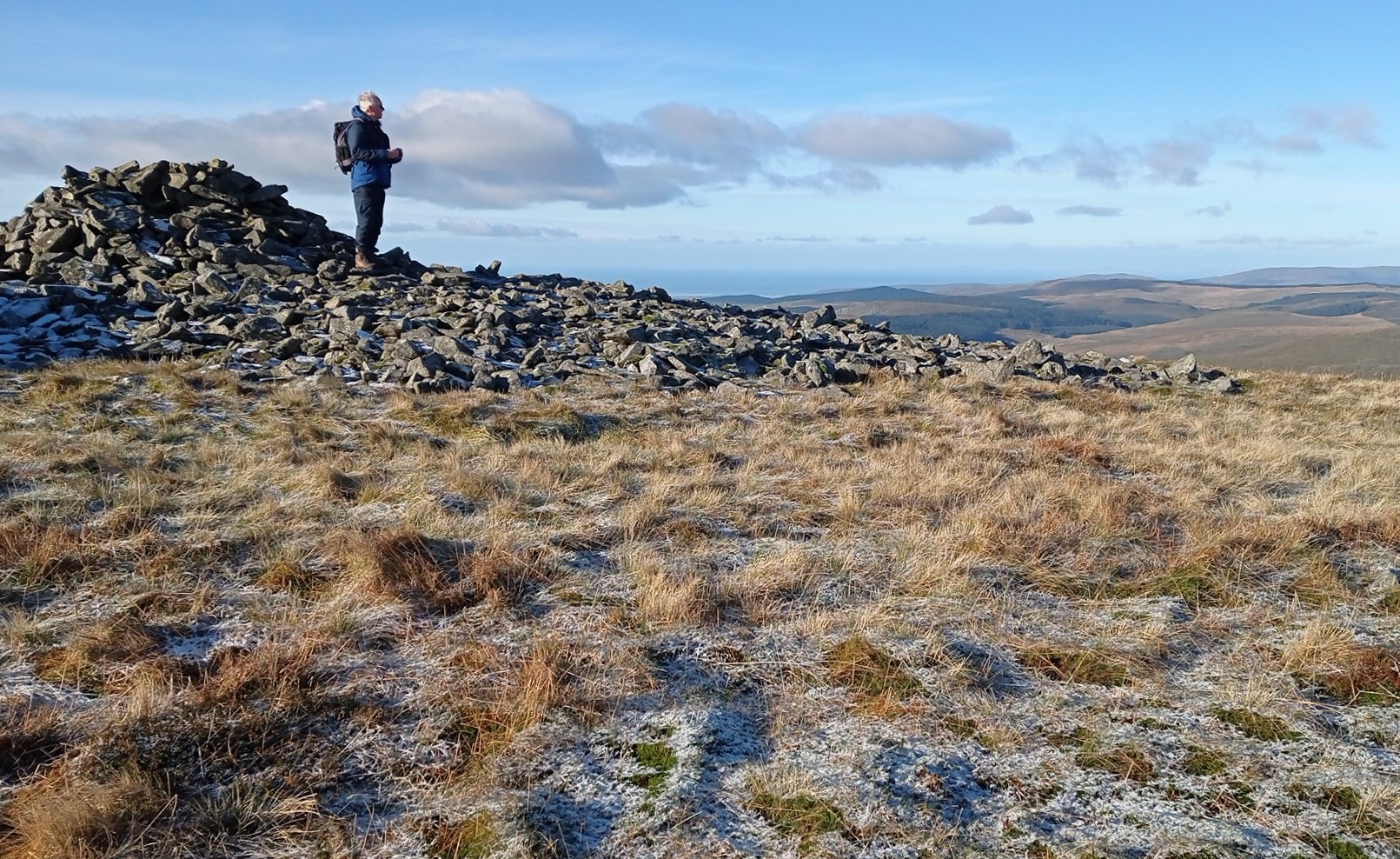
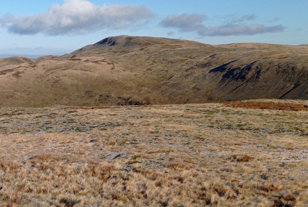
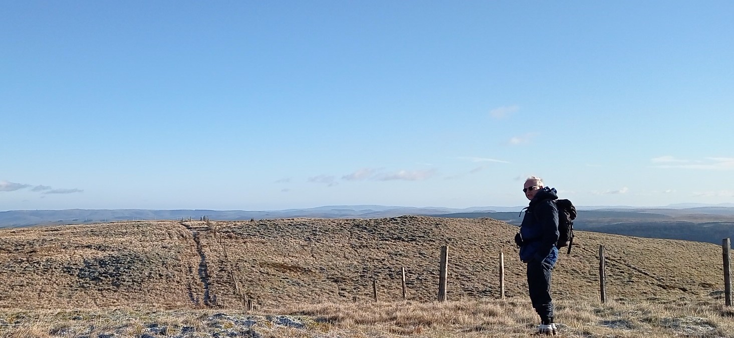
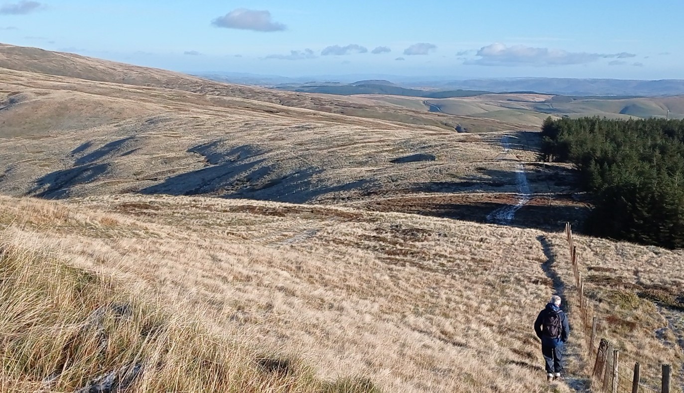
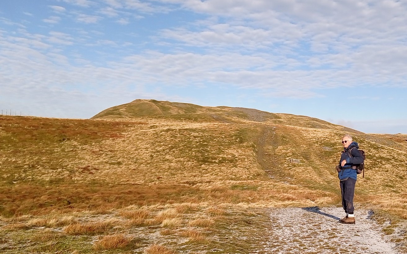
Cross the fence, then turn left, heading for Pumlumon Fawr…following the fence at first and keeping it to your left (NOT as in the pic…I had to climb over the fence later on!)
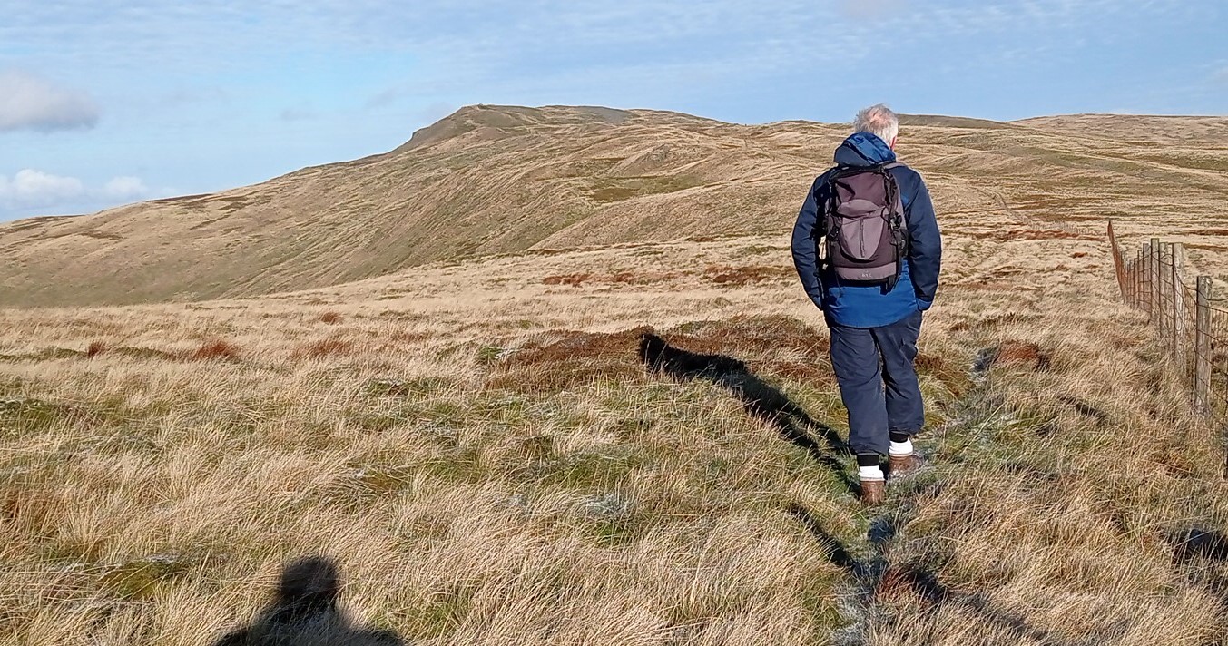
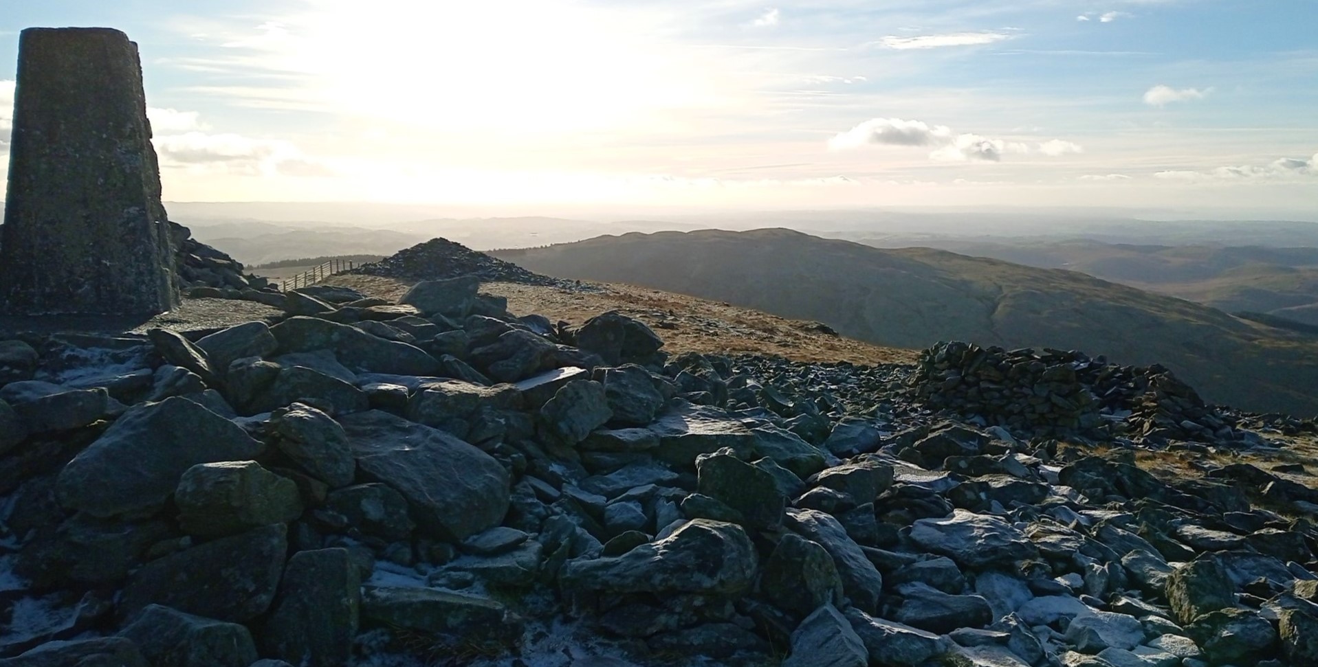
The path ascends gently, gradually diverging from the fence and merging with a larger track coming in from the right. This steepens slightly but leads easily up to the summit of Pumlumon Fawr with its trig point and famous views all round.
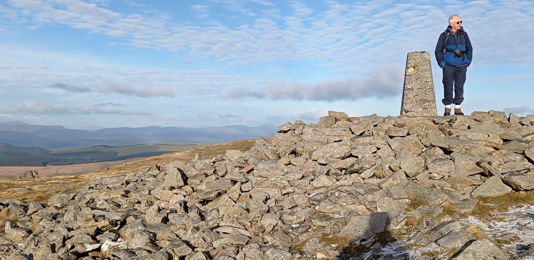
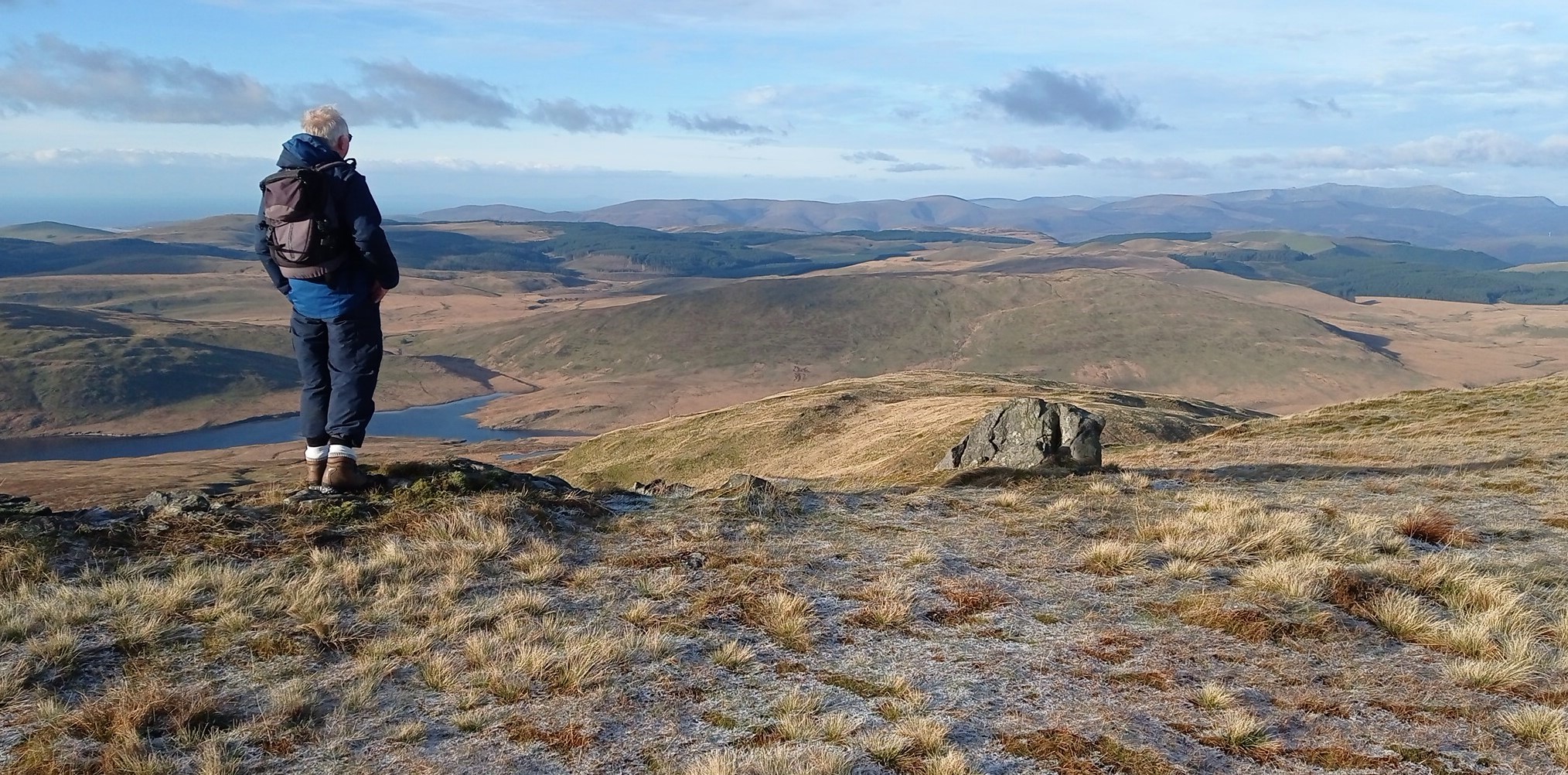
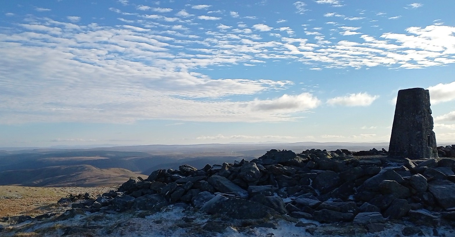
After having fully admired the excellent views from the highest point in the Elenydd, notice the large ladder stile nearby and climb over it, then take the obvious path downhill and to the left of your route up, and diverging from it.
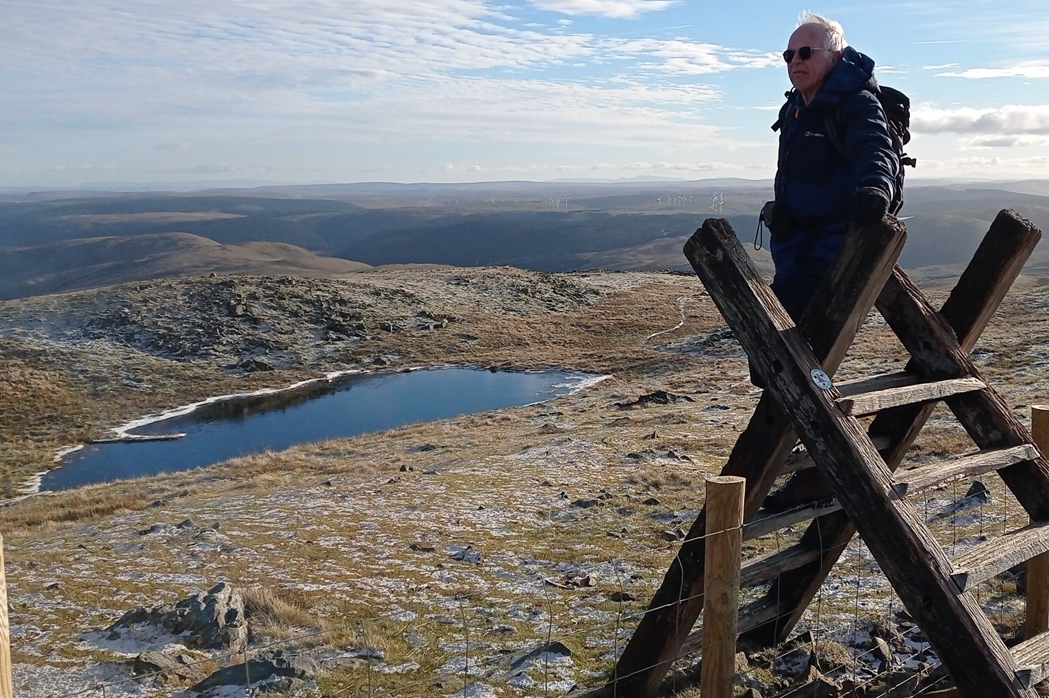
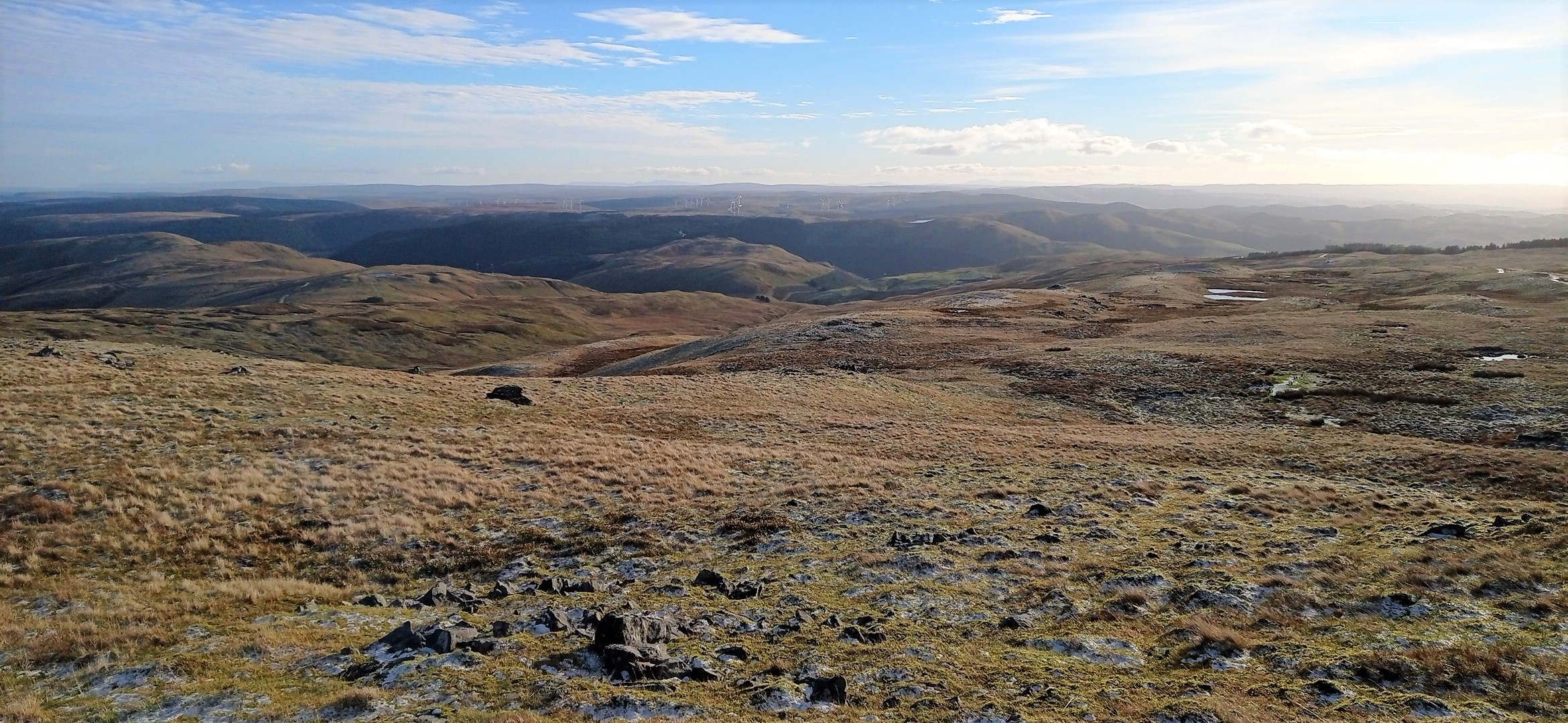
There is a main path, and a number of possible branching smaller ones which can lead you astray, but as long as you are descending, bearing a little to the left towards the stream gullies, in a generally slightly east of south direction, you can’t go far wrong. If the weather is reasonably clear, you will soon see the old mine workings at the head of the valley below, which you should be making for.
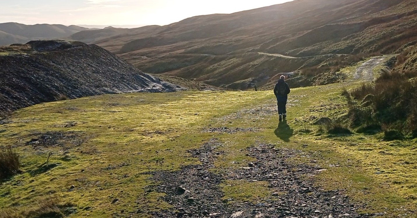
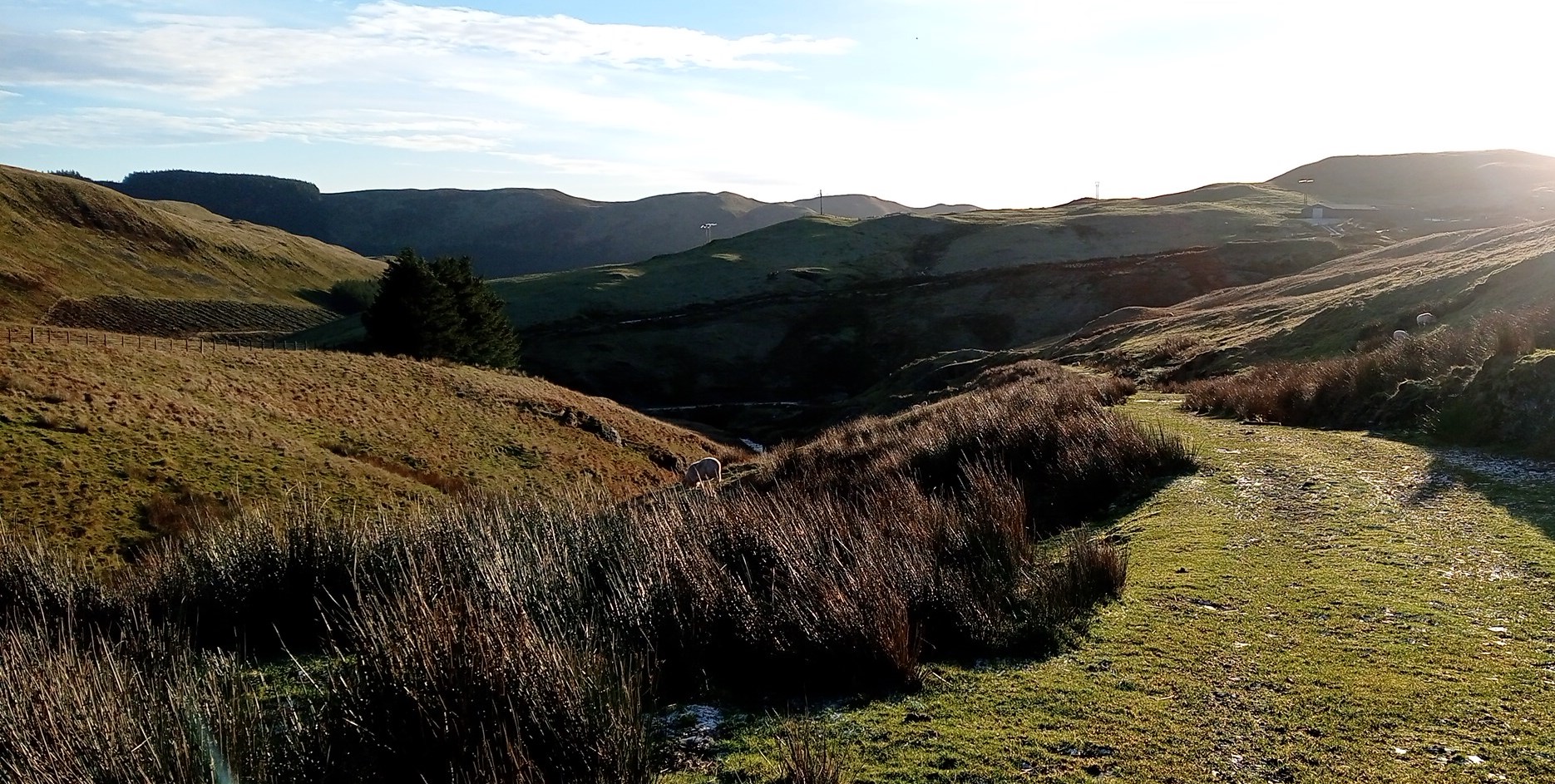
Once at the mine workings, and the former waste tips, you join a very broad track leading down the valley with a stream to your left, and lovely views ahead.
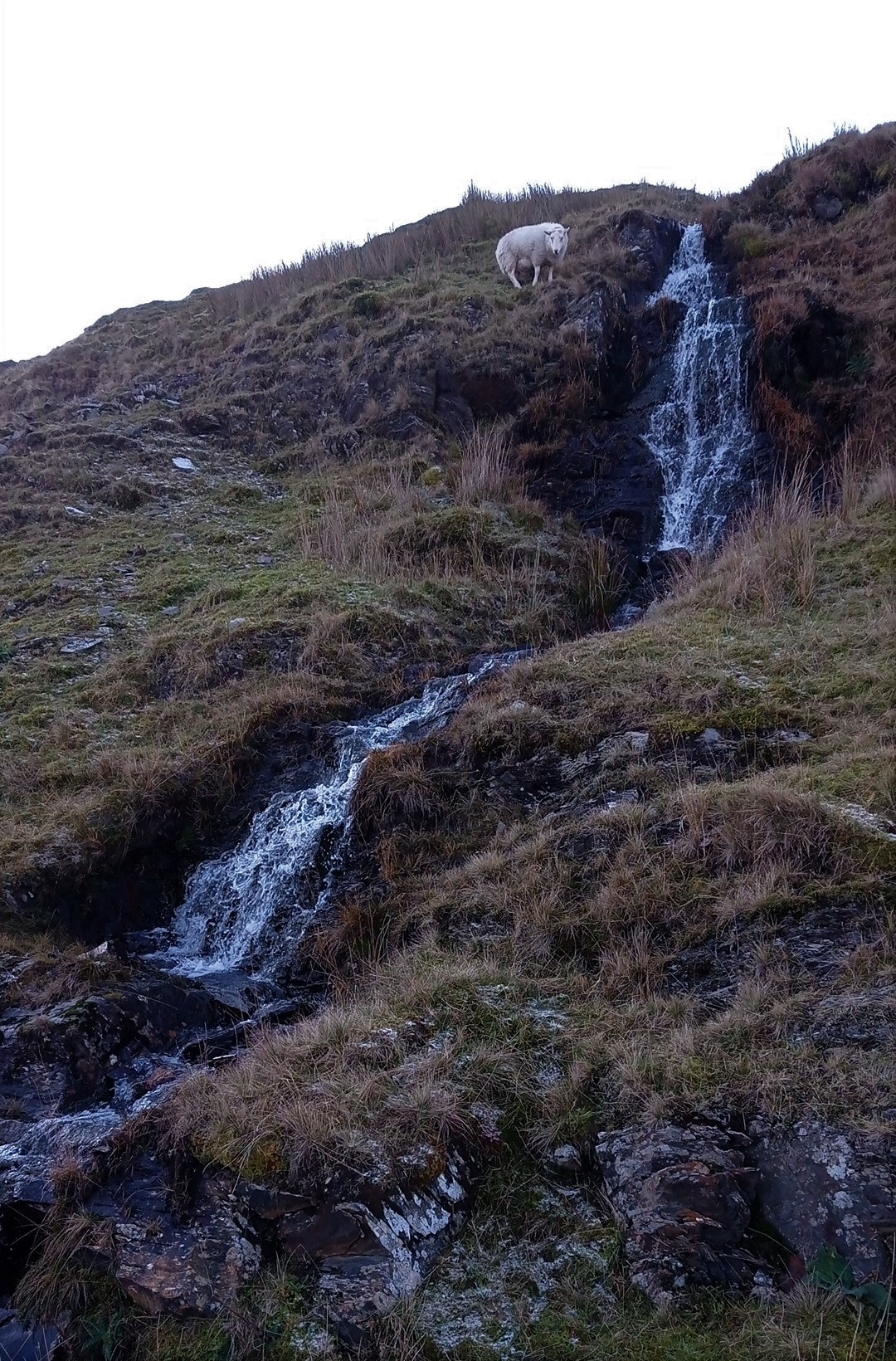
Towards the end of the track, you pass a nice little waterfall on your right, and the track curves round to the left to head towards the farm buildings of the beginning of your walk. A metal gate at the stand of conifers brings you to the farmyard where you retrace your steps for short distance to the car park.


Comments (0)