


A second walk starting in the wonderfully scenic Cwm Cyneiniog, ascending on very small paths to the summit of Bryn Mawr, on to the lovely little Llyn Nantycagal, then a return along a gently descending long, windy forest track. This is a very varied walk, with quickly changing views in all directions, and a real sense of remoteness. Navigation is easy, and apart from two short tussocky sections ‘off piste,’ the way is on paths and tracks, boggy here and there, and with a short section of tarmac lane in the middle. The entire second half is through forest, in stark contrast to the morning’s open mountainous terrain, but don’t let that put you off (except during the August fly season!), because the track twists and turns, with frequent flashes of varied views and sunlight. Not only that, but it is relatively effortless with a good walking surface and almost all downhill! The entire walk is within Access Land, which means that you have a legal right to go anywhere, and there shouldn’t be any hazards on the way. I am happy to say that a length of barbed wire across a stile has now been protected by tubing and is no longer a hazard. It is difficult to choose a favourite walk amongst all those on the website, but this one comes very high up the list!
(opens in new tab):
of starting point :
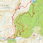
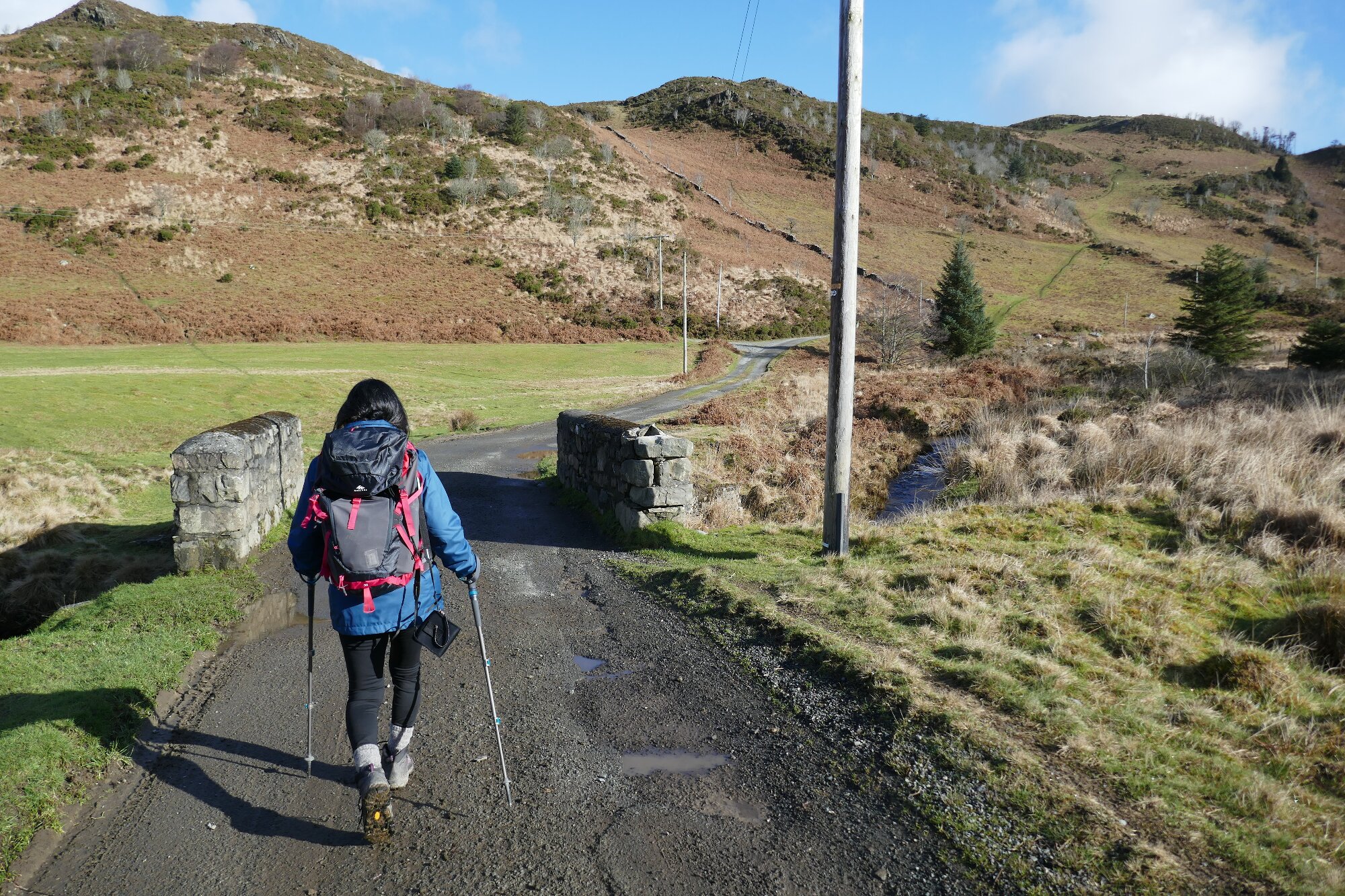
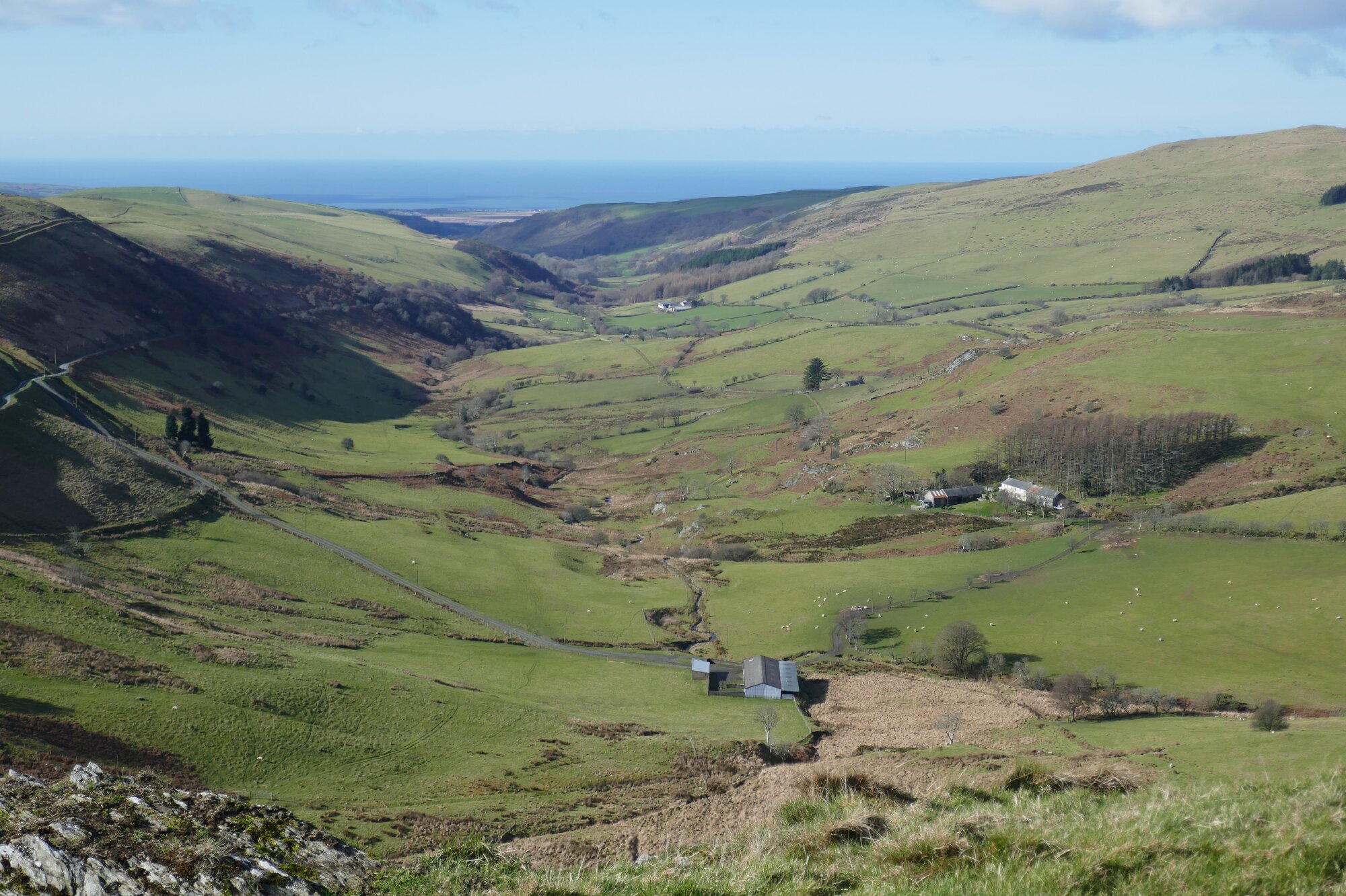
The starting point is the wide and open turning/parking area at the disused mine (Bwlch Glas) in Cwm Cyneiniog. From Aberystwyth, turn off the A487 at the green in Talybont, and take the narrow lane (with passing places) signposted to ‘Bontgoch’. After about 3km, at Pontbren-geifr, turn left towards Tynant on an even smaller lane, pass the Tynant farm over to the left, and follow the very narrow and rather potholed lane a kilometre further until it arrives at the mine.
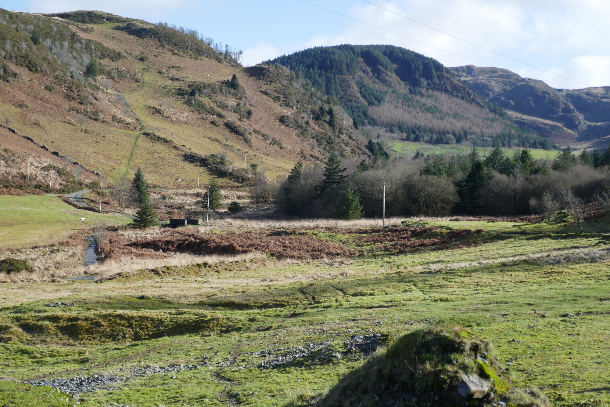
From the parking space, follow the small lane further on (or use the path across the grass which cuts off the bend), cross the Afon Cyneiniog on the small bridge, follow the lane round to the right, then immediately branch off to the left on an obvious path leading diagonally uphill.
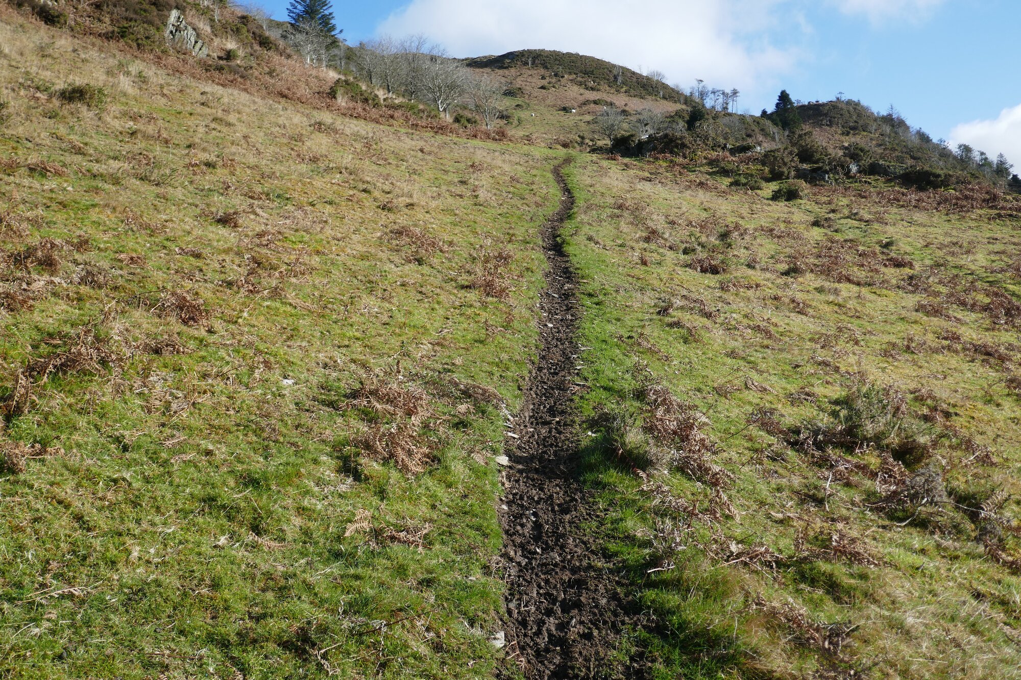
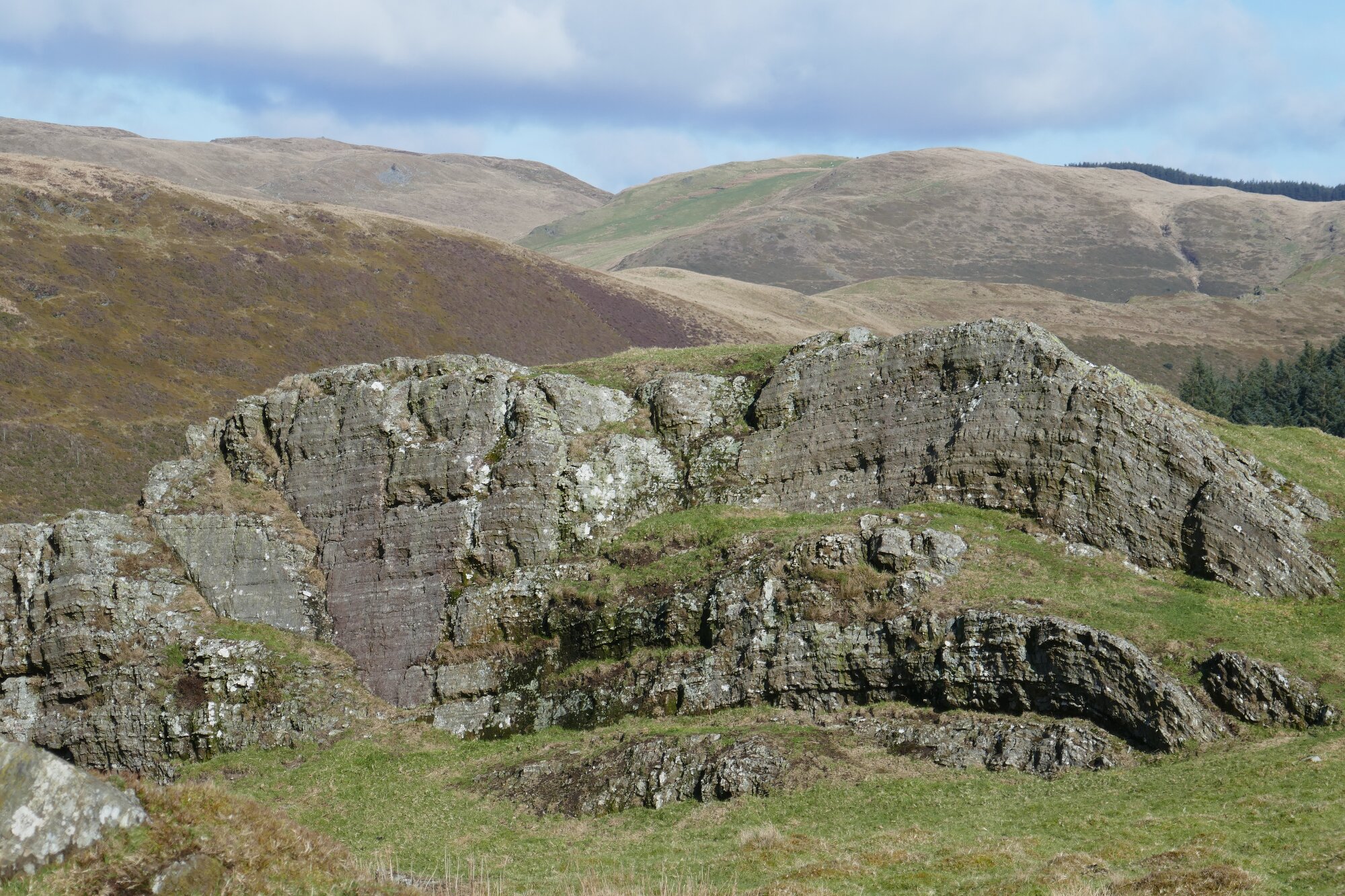
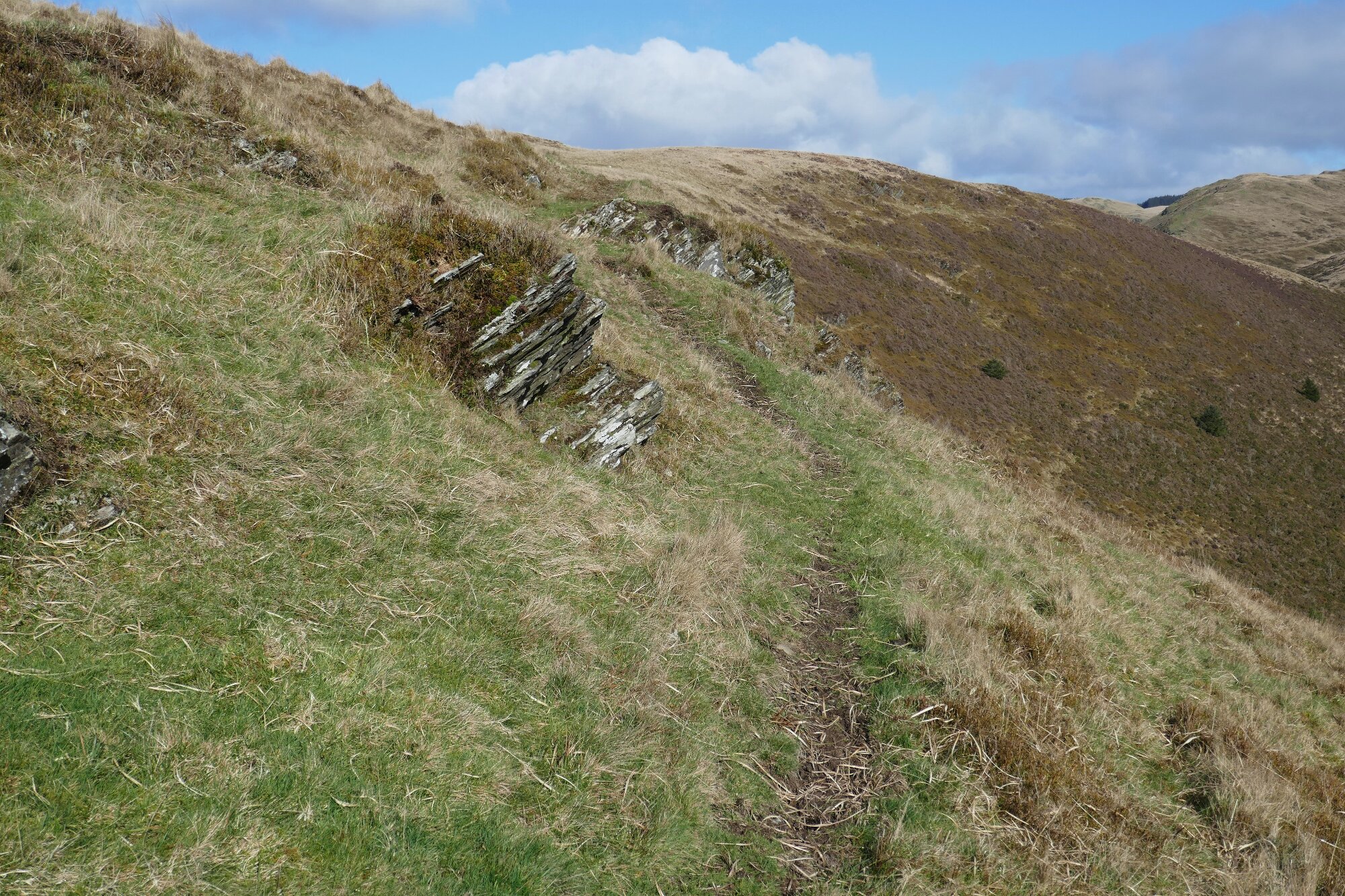
The path is surely mainly used by sheep, but takes a very useful direct route to the skyline. High up the hill it veers round to the left and steepens, and near the top another obvious path crosses, giving a slightly vague t-junction. Here turn right and ascend to the wide grassy vantage point that overlooks the valley and a view of Craig Yr Allt-ddu.
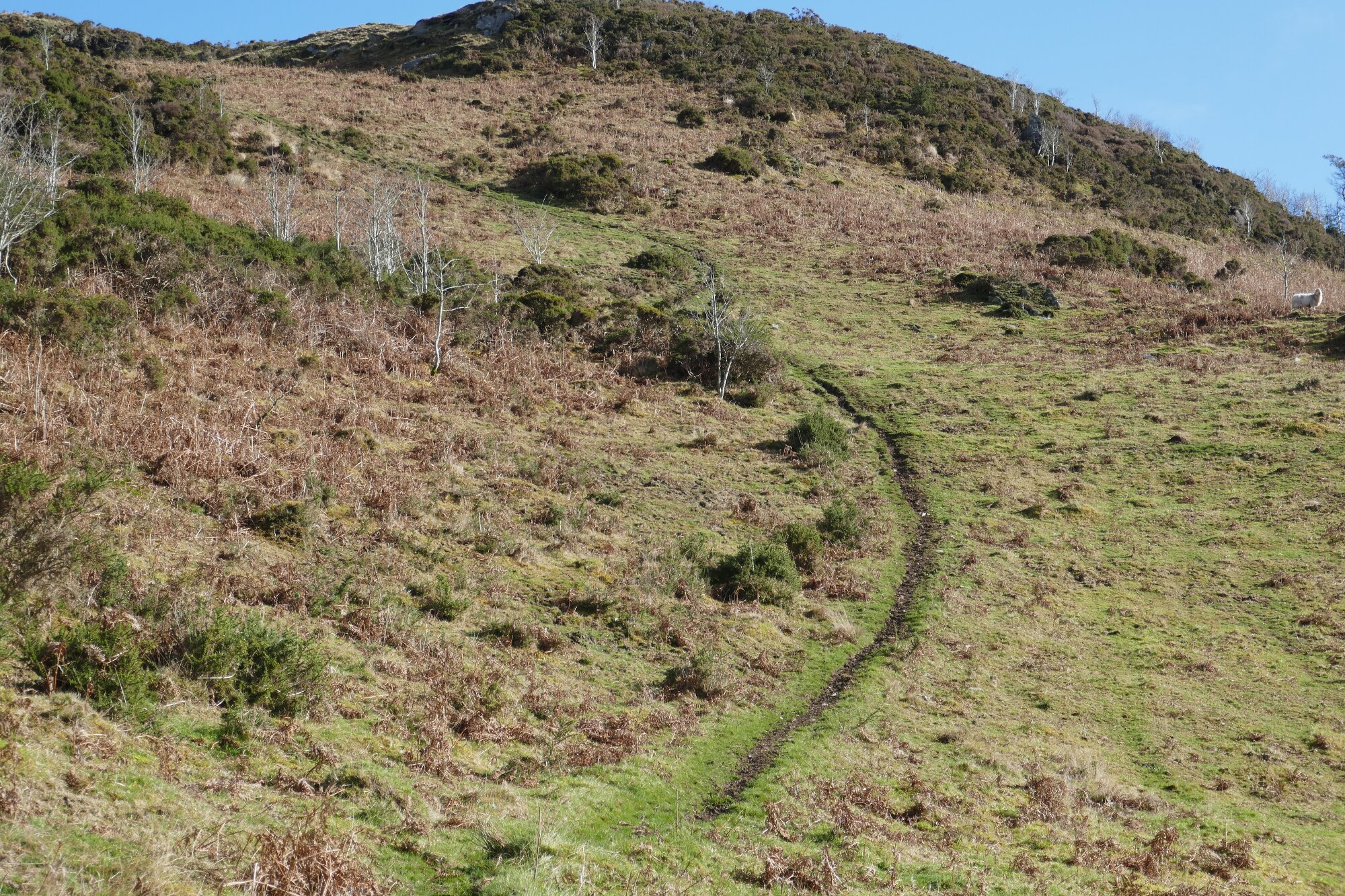
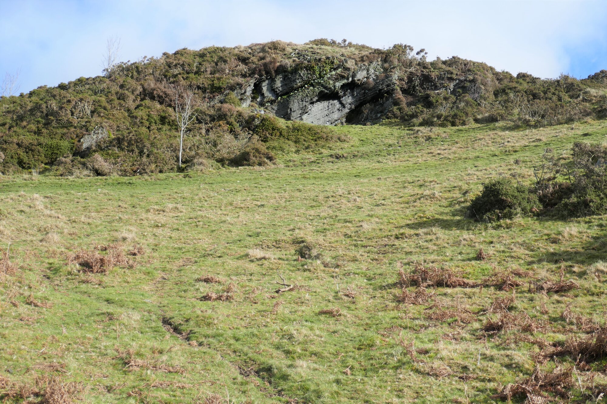
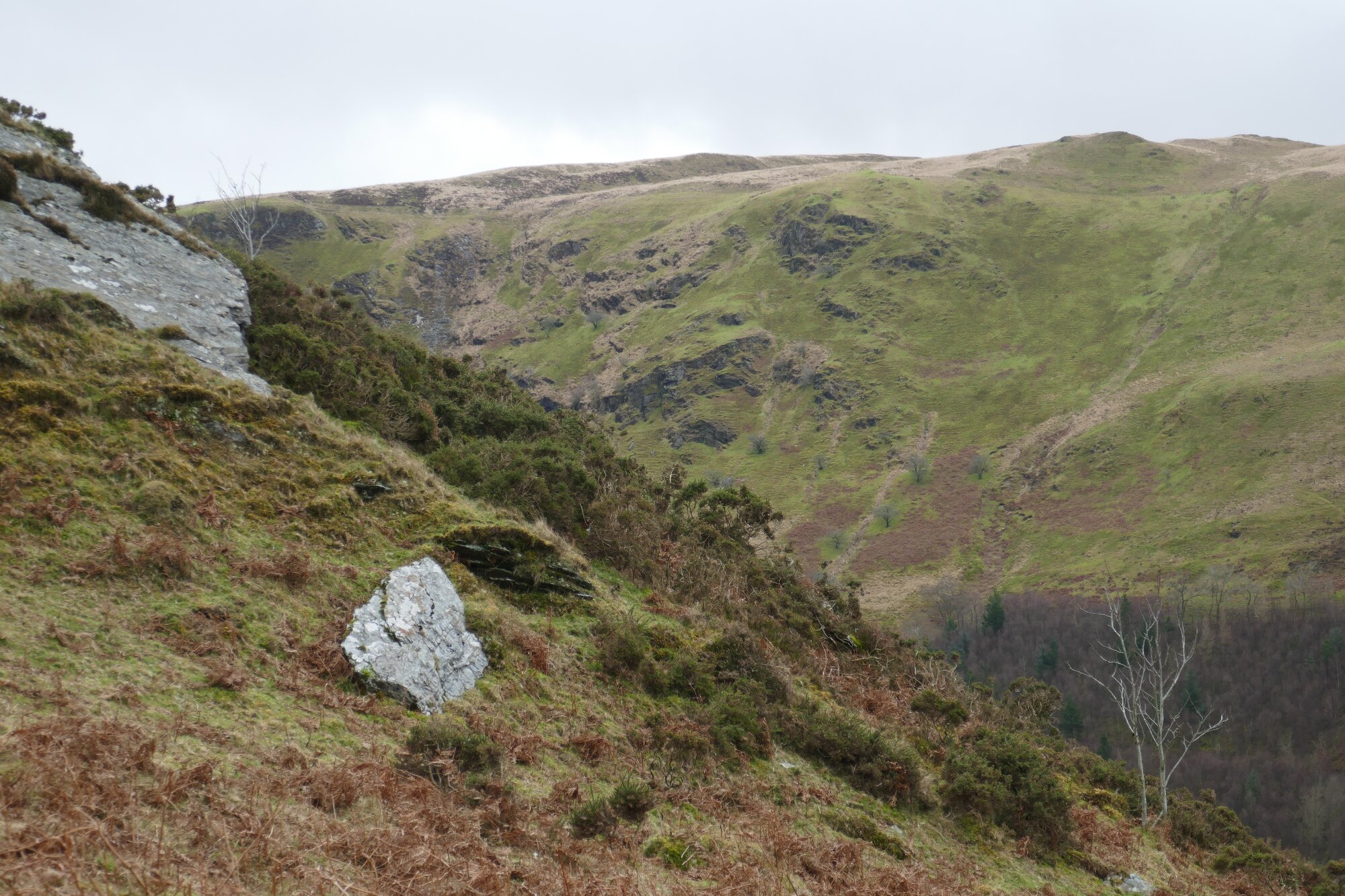
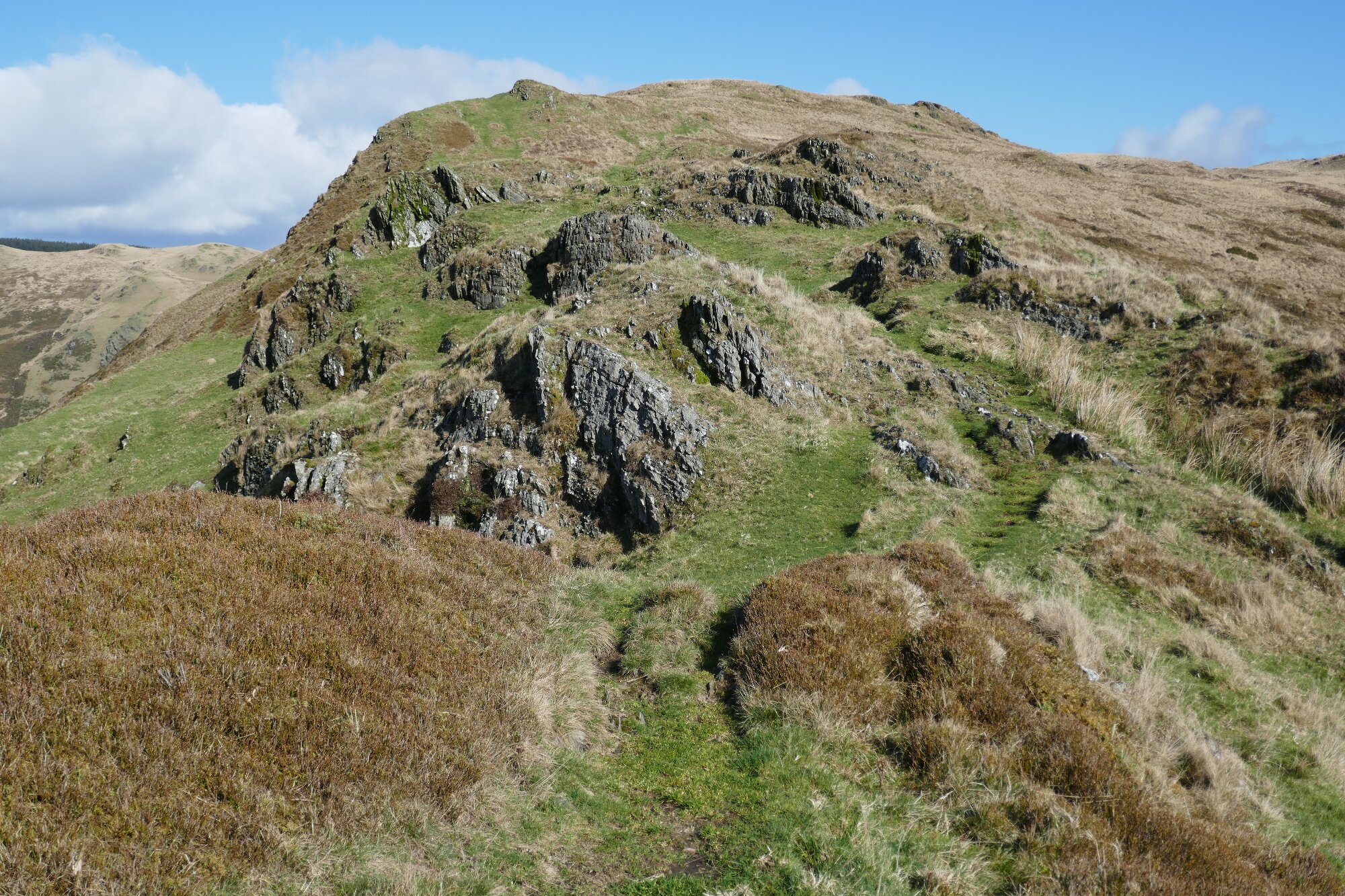
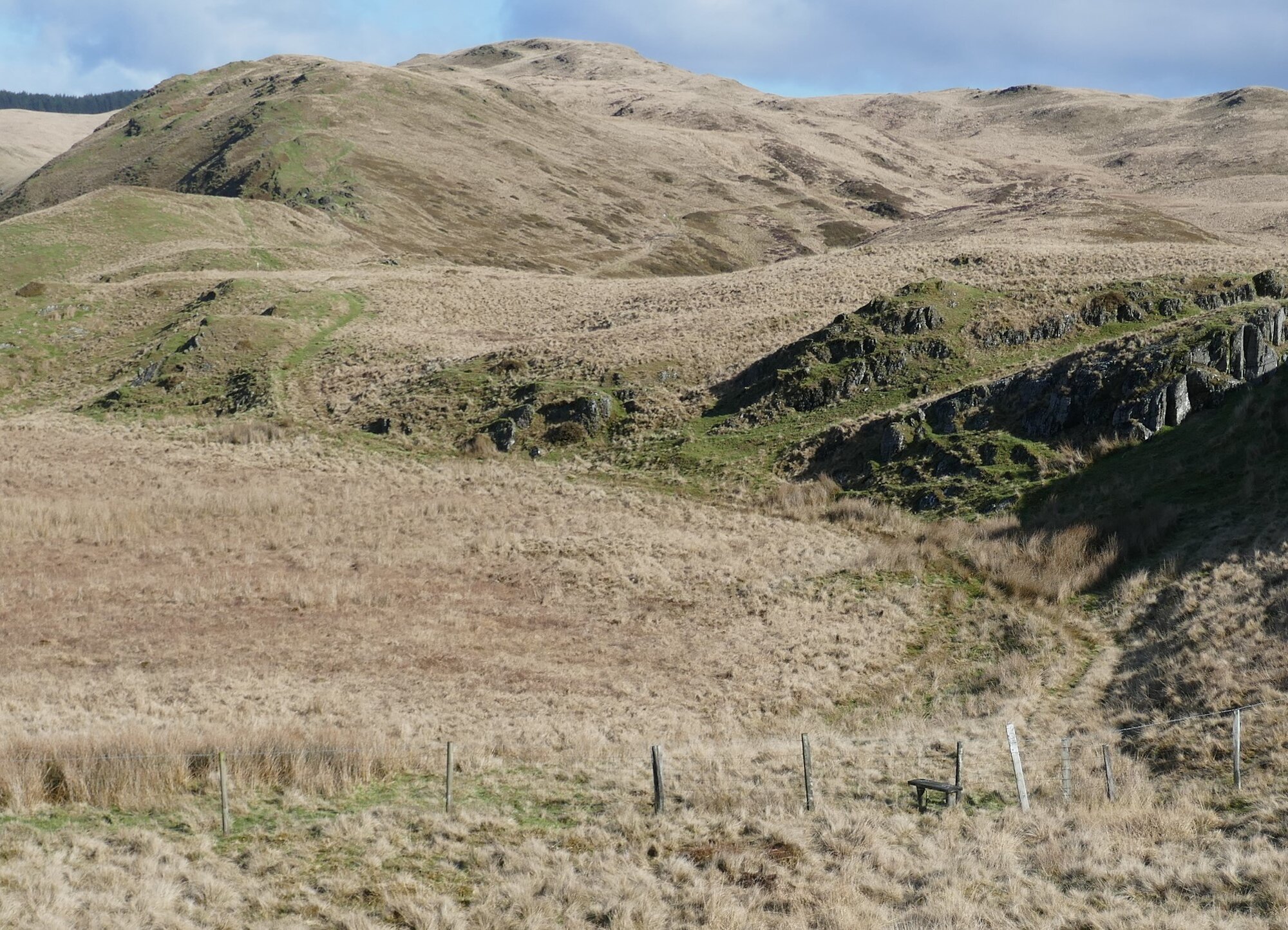
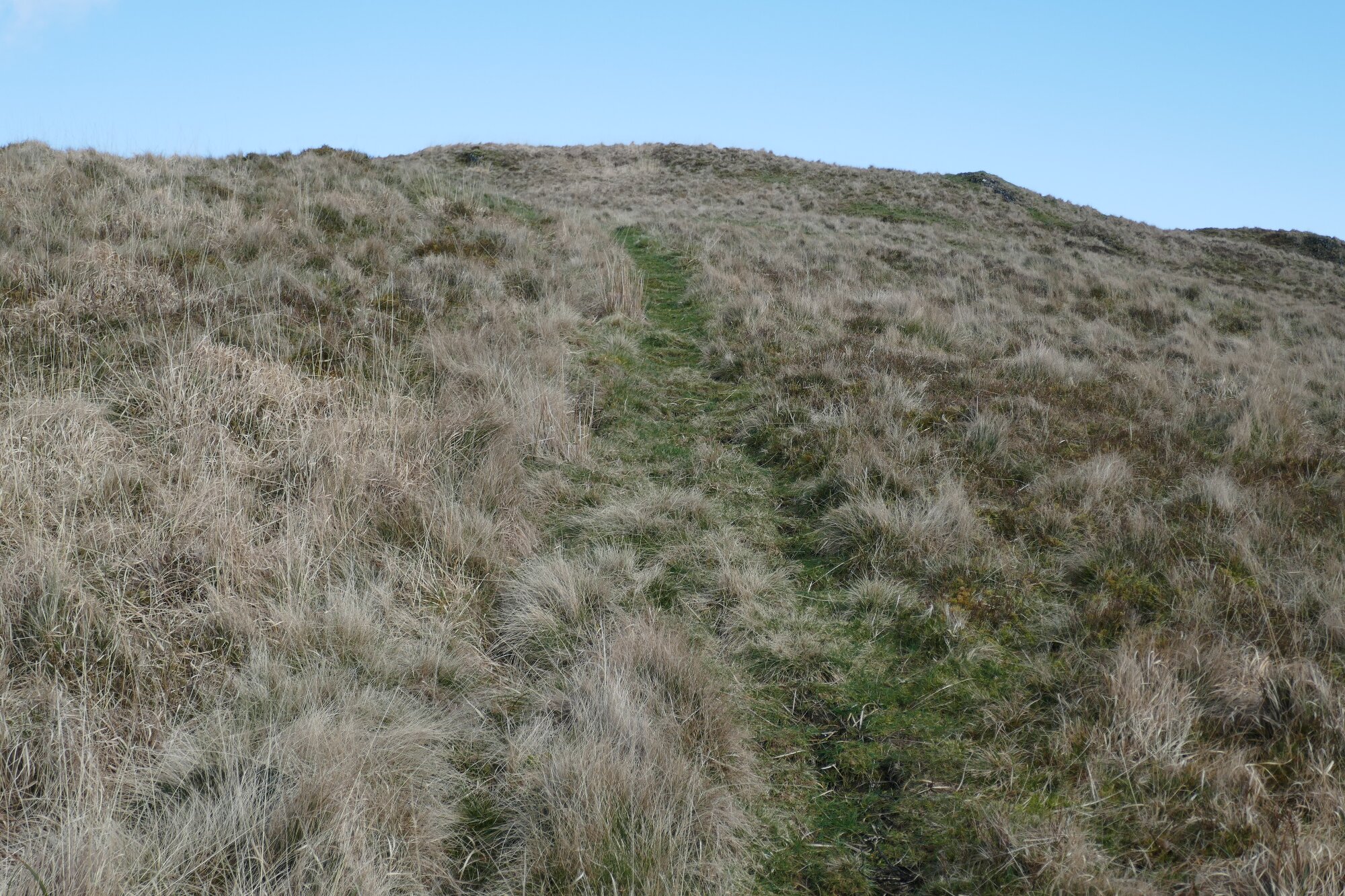
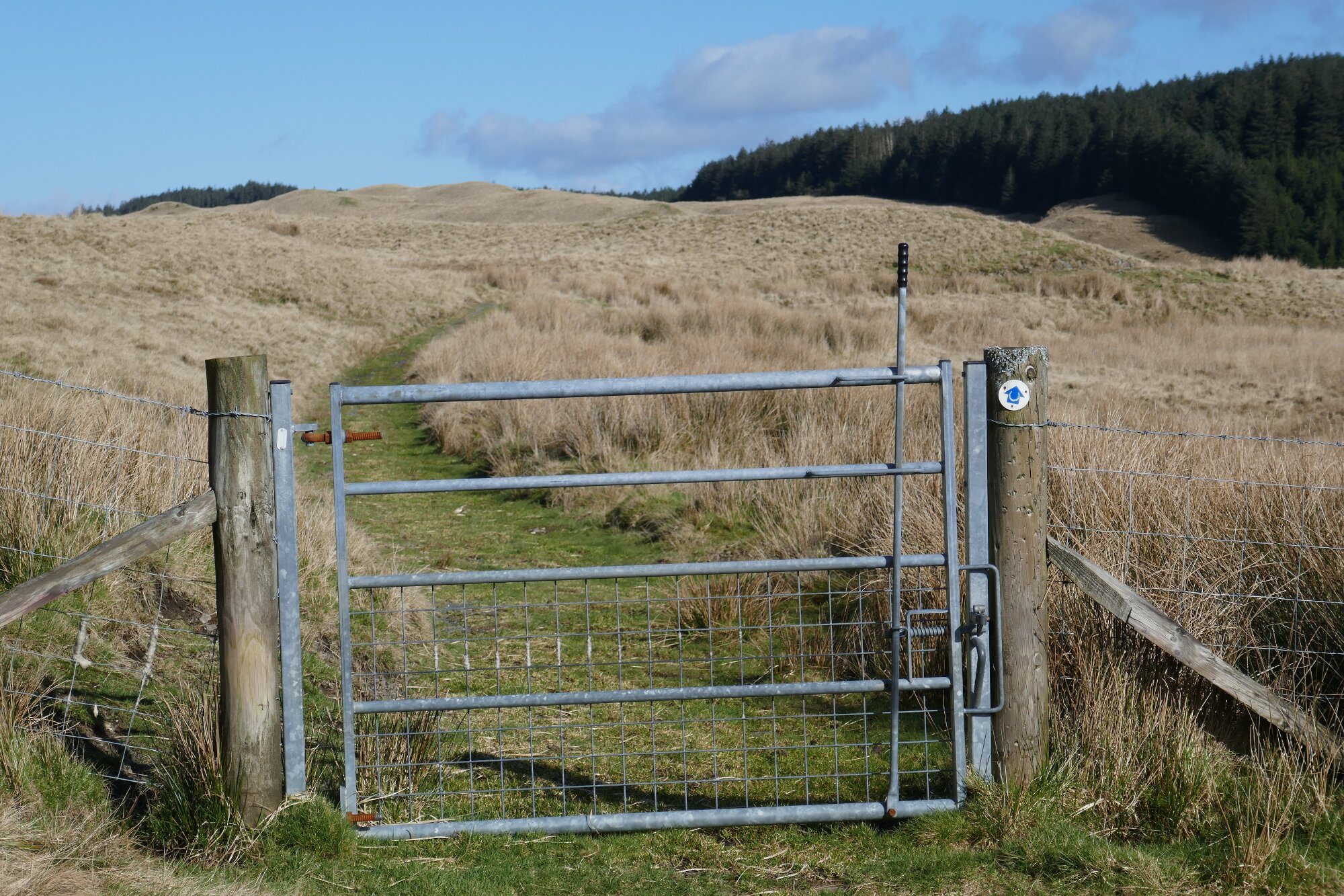
Go left from the viewpoint on the faint path which heads most directly up the wide grassy ridge, with bits of scrubby gorse at first, then opening out with new views ahead, and a craggy summit to aim for…The path goes to the right of that first craggy top, continues on the ridge a little way, then gets a bit vague. It is best to descend to the left on the path that avoids the final knobbly summit of the ridge, keeping more or less central over the humps and hollows, and drops down to a gate in a barbed wire fence, the far side of a craggy hump. The gate is close to a lone tree that sticks up above the hump, but if you don’t find it straight away, hit the fenceline then follow it down to the right.
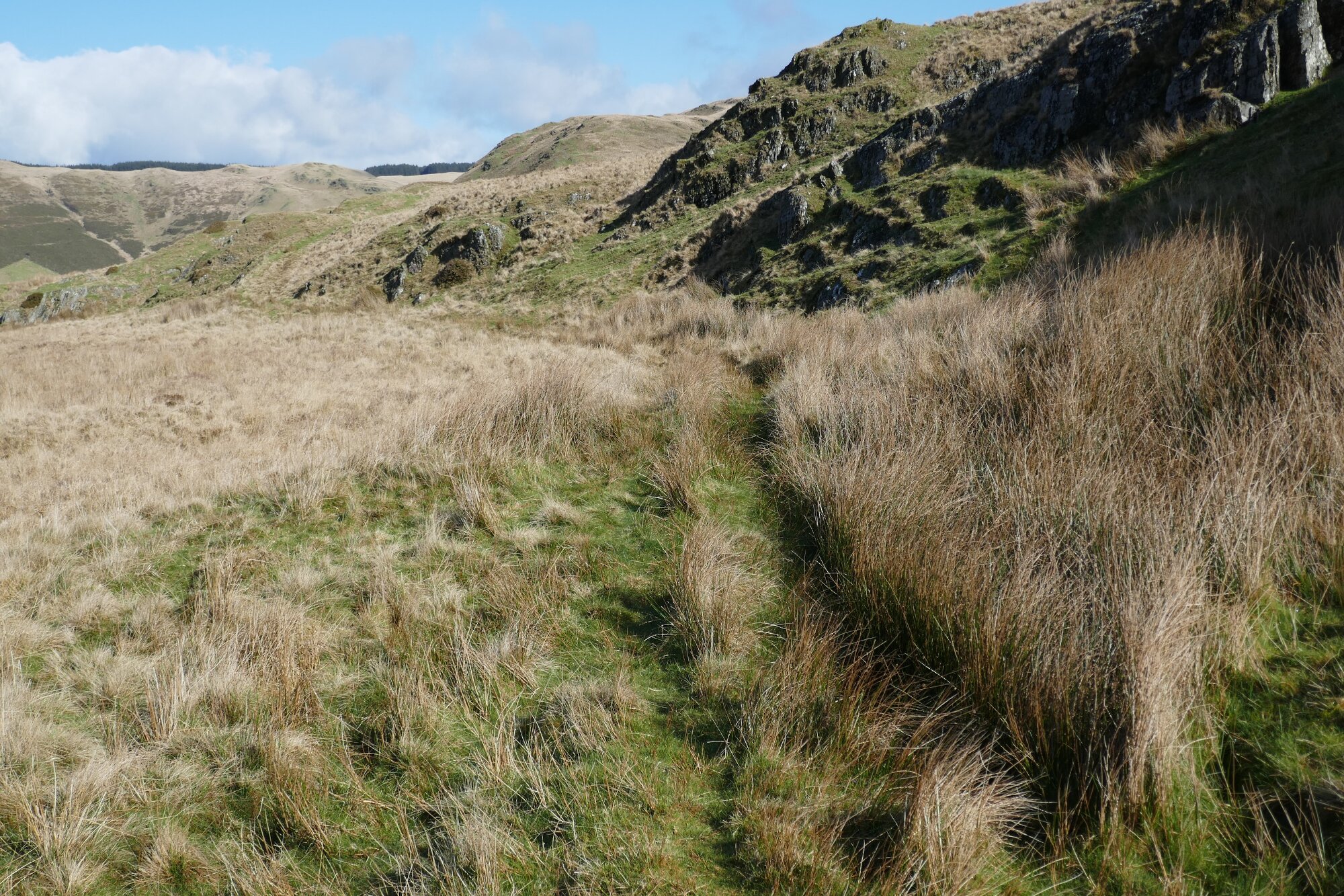
Go through the tie-up gate, re-tying it behind you very securely, then follow a path which goes slightly to the left over the top of the next major hump and finally down to the grassy bwlch. Beware of diversions going down to the right towards the valley. Central to the slope up the other side is a faint path ascending diagonally onto the flank of Llechwedd Cwm-byr. The path is small and faint...again avoid any forks off it to the right... but quite high up the hill it does curve round to the right rather than towards the highest point of the hill. It more or less follows the contour, rising only gradually, and continuing for some way with the valley of the Afon Cyneiniog down below.
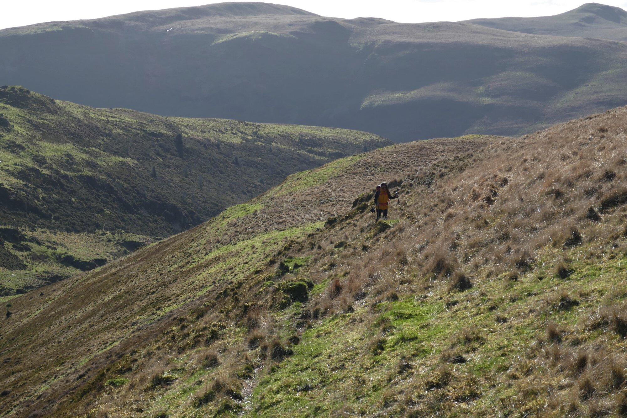
The path eventually gets diffuse and difficult to follow, but you need to be aiming for the point on the map where you join the bridle track. This means going more leftward and uphill; a small white quartzite boulder seems to mark the way, and a second one further on. Very soon you will reach the top of the far shoulder of the hill, an obvious wire fence descending in the direction of Bryn Mawr ahead.
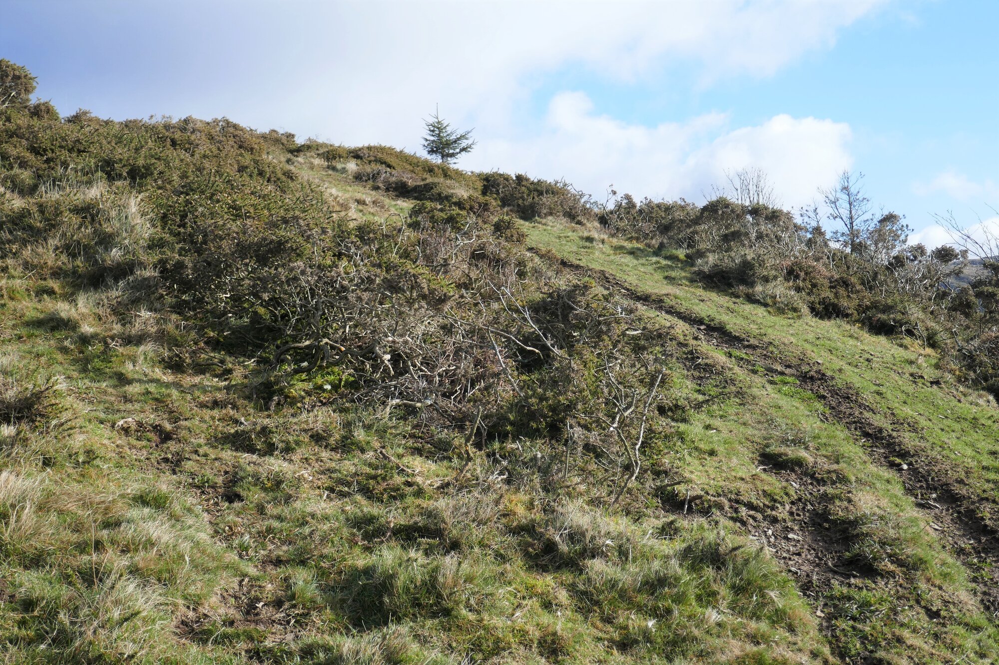
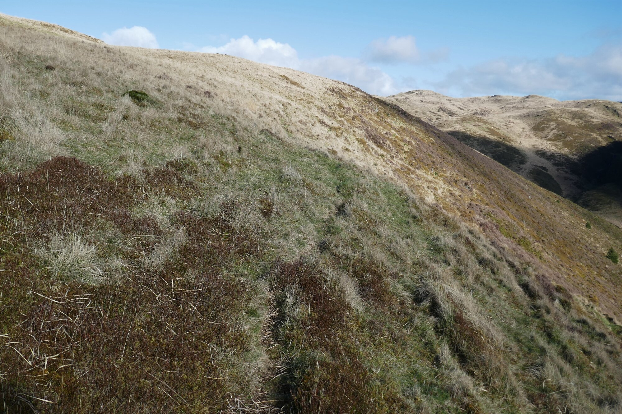
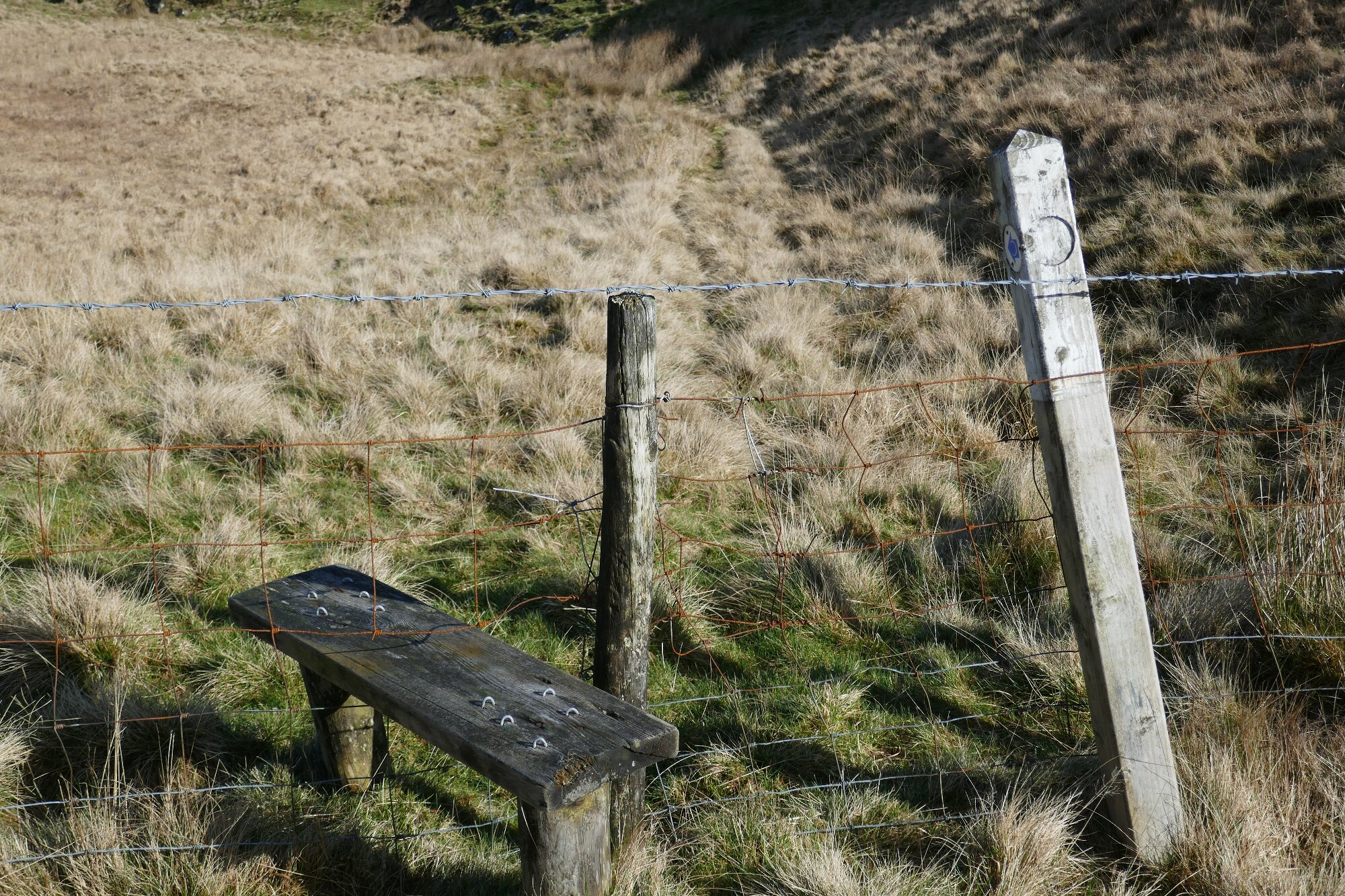
Now there is a short section of somewhat wet, tussocky terrain…You will see another (barbed wire) fence further down at right angles to the first, which you will need to cross; there is a very basic stile over to the right, away from the fence corner. It is probably best and driest to keep close to the fence line leading downhill, then at some point before reaching the corner, cutting across the tussocks towards the stile. The stile is now easier to cross, despite the wire, as plastic tubing now protects you from the barbs!
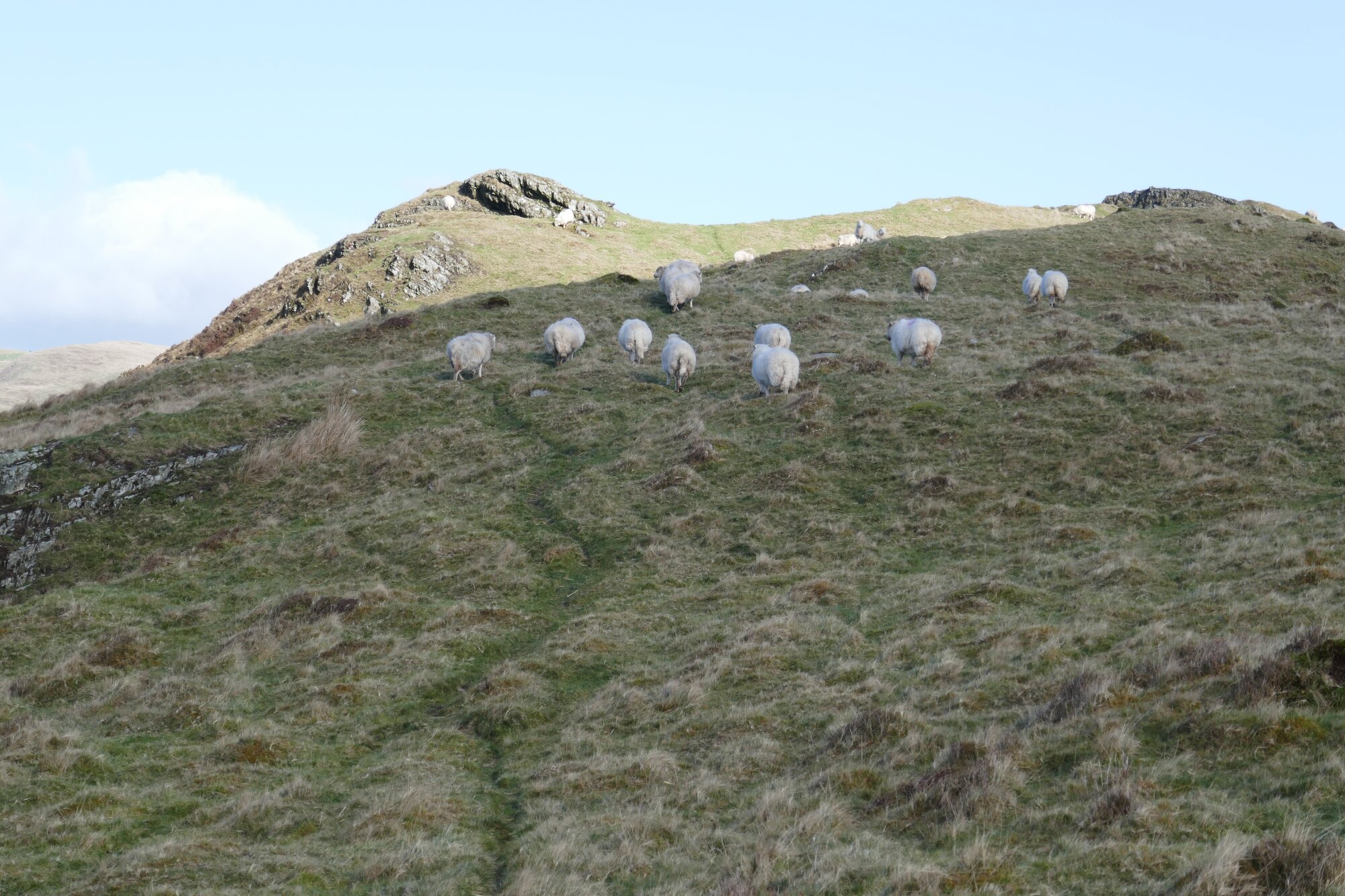
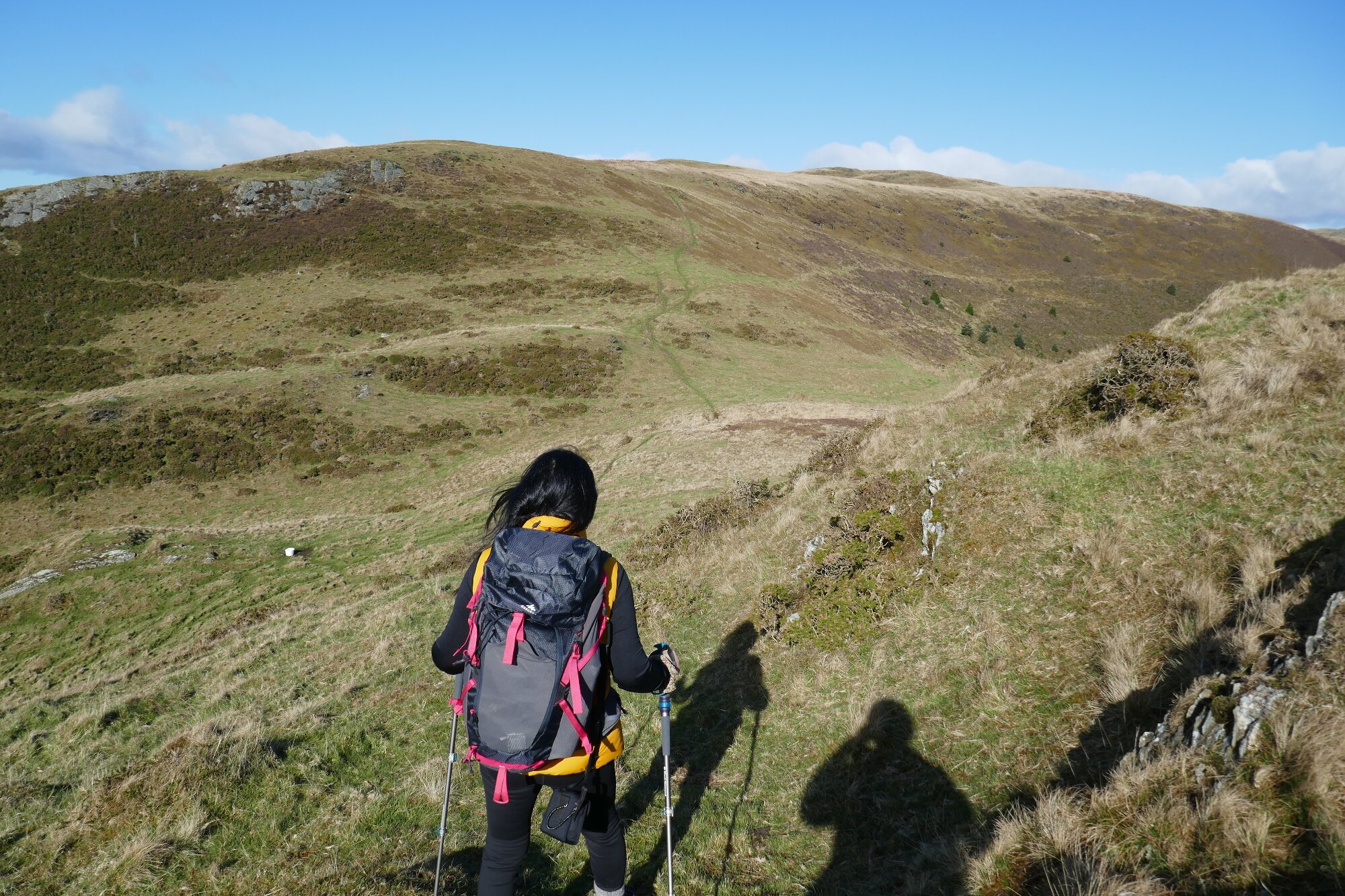
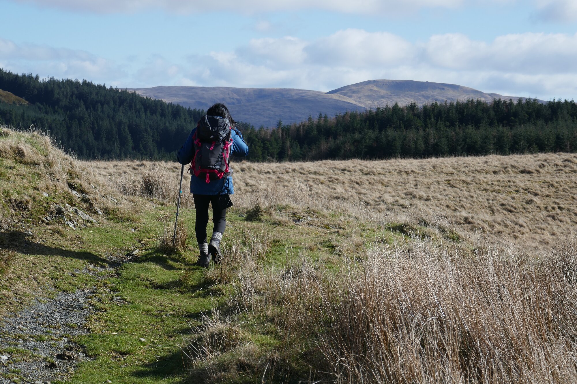
Now you are immediately on a good path…actually a bridle track of sorts…which continues in the same direction, heading for Bryn Mawr. At the first crags, take the branch left which runs immediately below the crag, and then rises through to a flatter section where it might be boggy, but with a waymark post to aim for. Soon there is a choice of direction…an excellent green grassy track veering slightly right and only very gently ascending, and a smaller path branching to the left going uphill on the broad ridge, heading towards Bryn Mawr. Branch left if you are going to the top (recommended), but you will be rejoining the main track later on, so there is an option to miss out the hill by staying on the track.
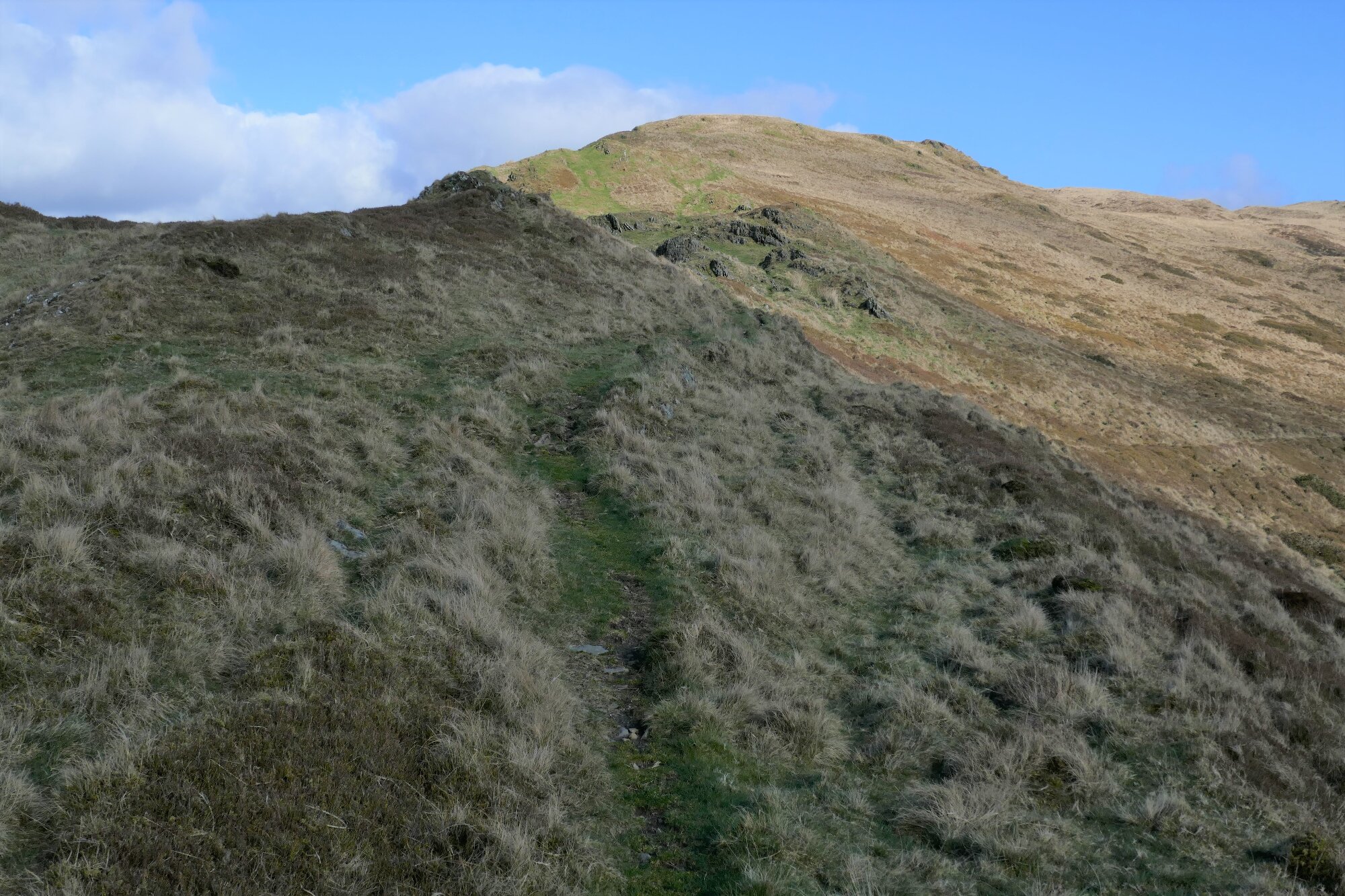
The path ascends the grassy and rocky ridge with lovely views down Cwm Ceulan to the left, and winding up through crags towards the summit. The actual summit is a bit of a disappointment after a gorgeous walk up to it, being a small tussocky mound.

The trick now is to descend to the main track without getting stuck in quite serious tussocky and boggy ground, (as we did on the first recce!) which can be ankle-breaking. I would recommend not continuing further on (there seems to be no path) but backtracking the way you came up, and cut down to the left where the ground seems easiest, and there seem to be ridges of sheep paths descending in the correct general direction... I now recommend that you follow the exact path as shown on the OS App version of the map; I have yet to modify the main static map accordingly. The main track is not far away, and when you hit it your problems are largely over, apart from some very wet and boggy patches that need negotiating straight away! Turn left on the track.
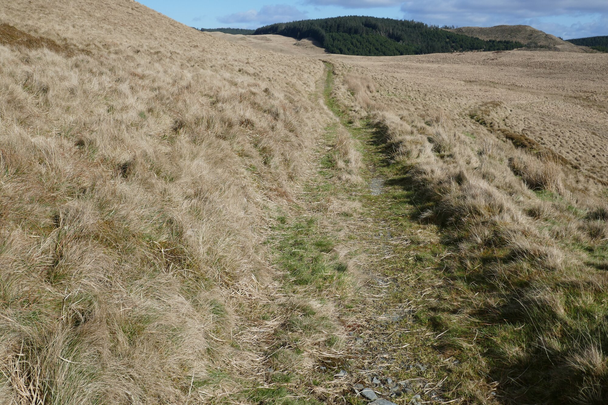
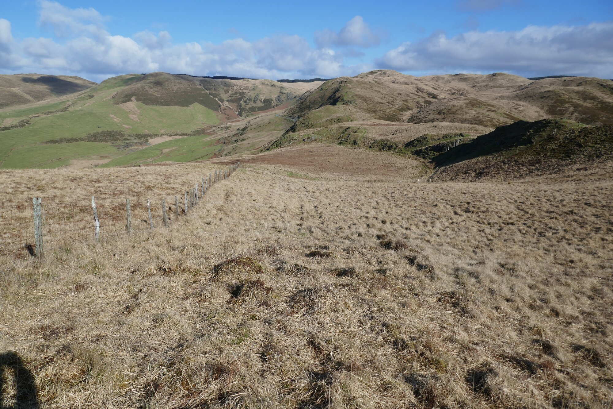
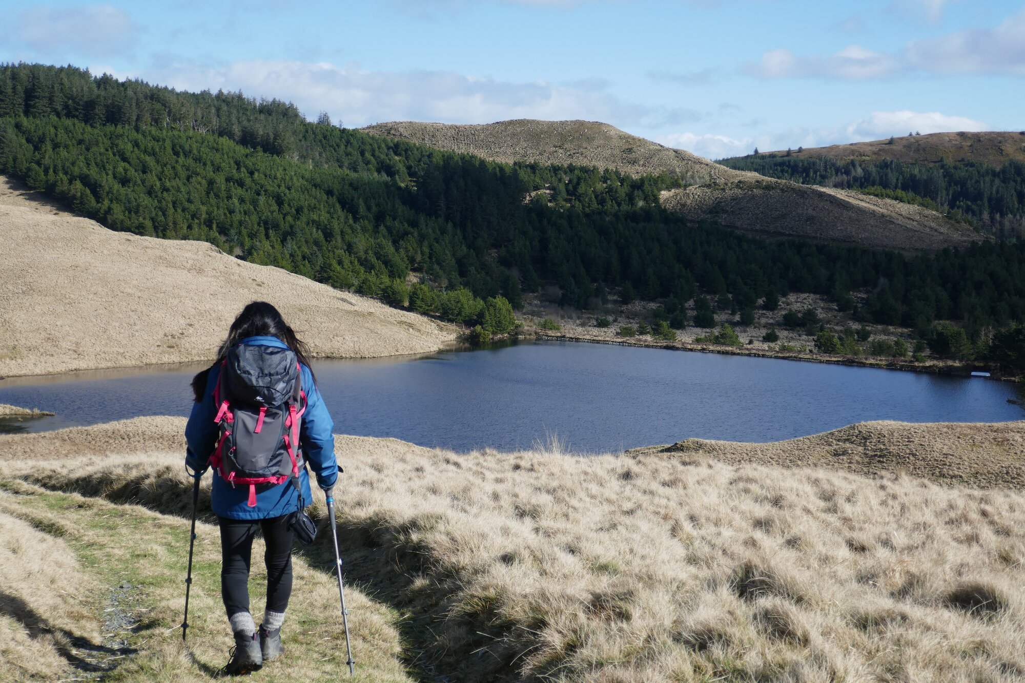
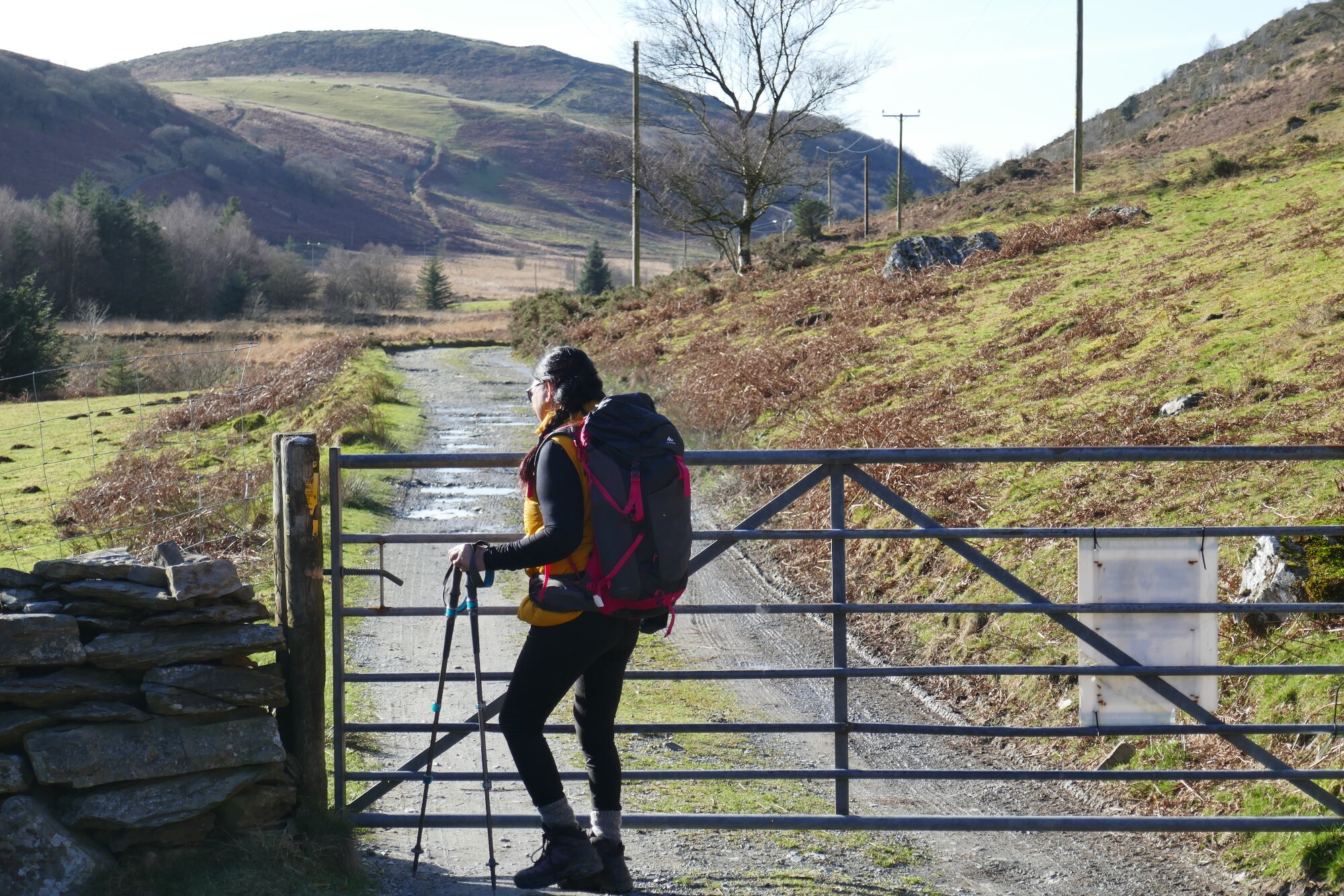
There is now a delightful walk of about 1 km on the bridle track, with only a fairly gradual ascent at first. The only hazard is a major stretch of boggy ground that can be avoided by following the small path which diverts off the main Right of Way where it bends round sharply to the right (See OS App map once again).Then around the highest point there are yet more new views, with Pumlumon Fawr the obvious mountain in the distance to the right. The way goes through a metal gate, and then the picturesque little lake called Llyn Nantycagal suddenly comes into view.
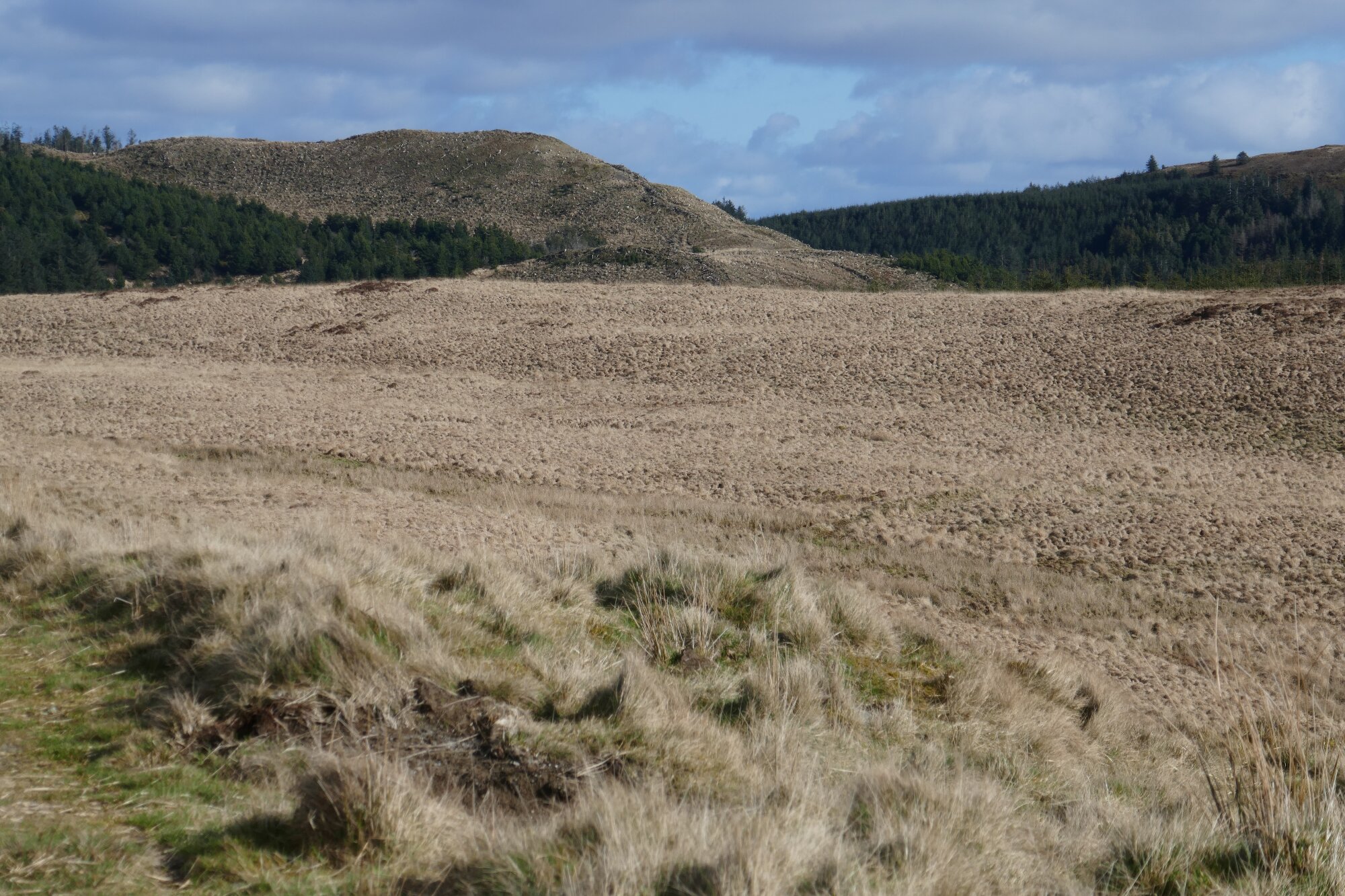
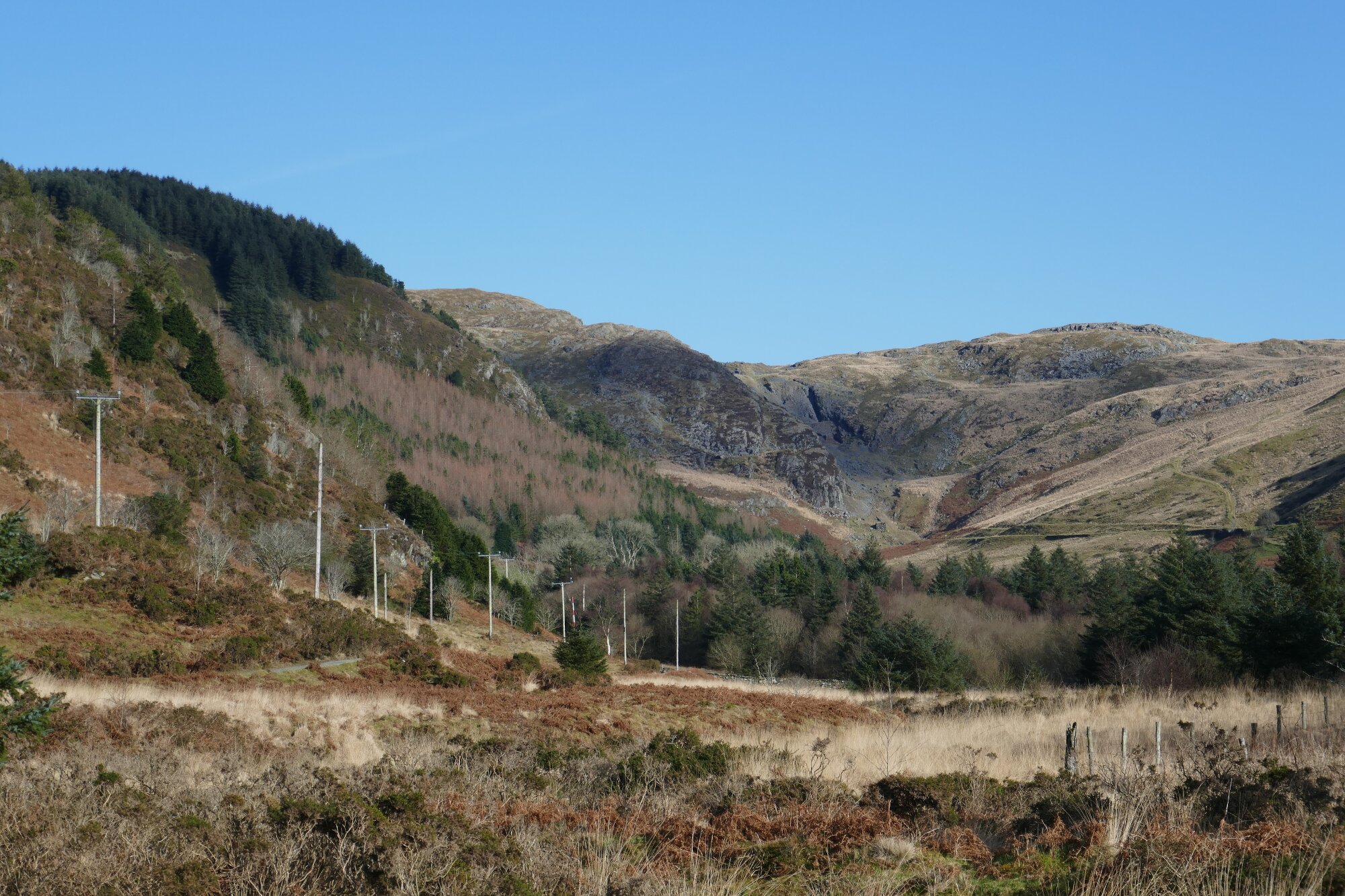
The track joins a small tarmac road…turn right here, walking parallel to the lakeside (which is over to the left) for about 350m, then up a rise at the top of a lefthand bend. At the top of the rise, take the wide forestry track leading off to the right, heading gently uphill for the first 600m or so towards the forest.
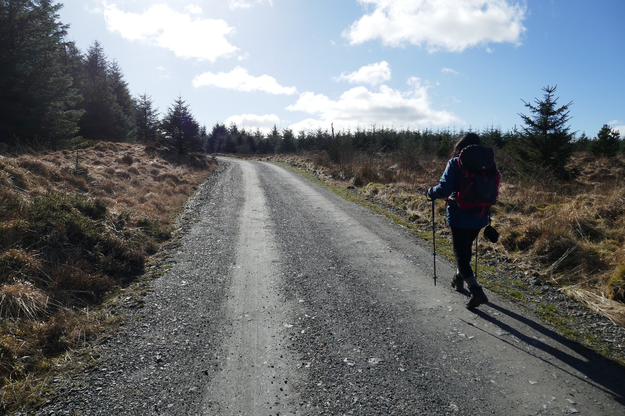
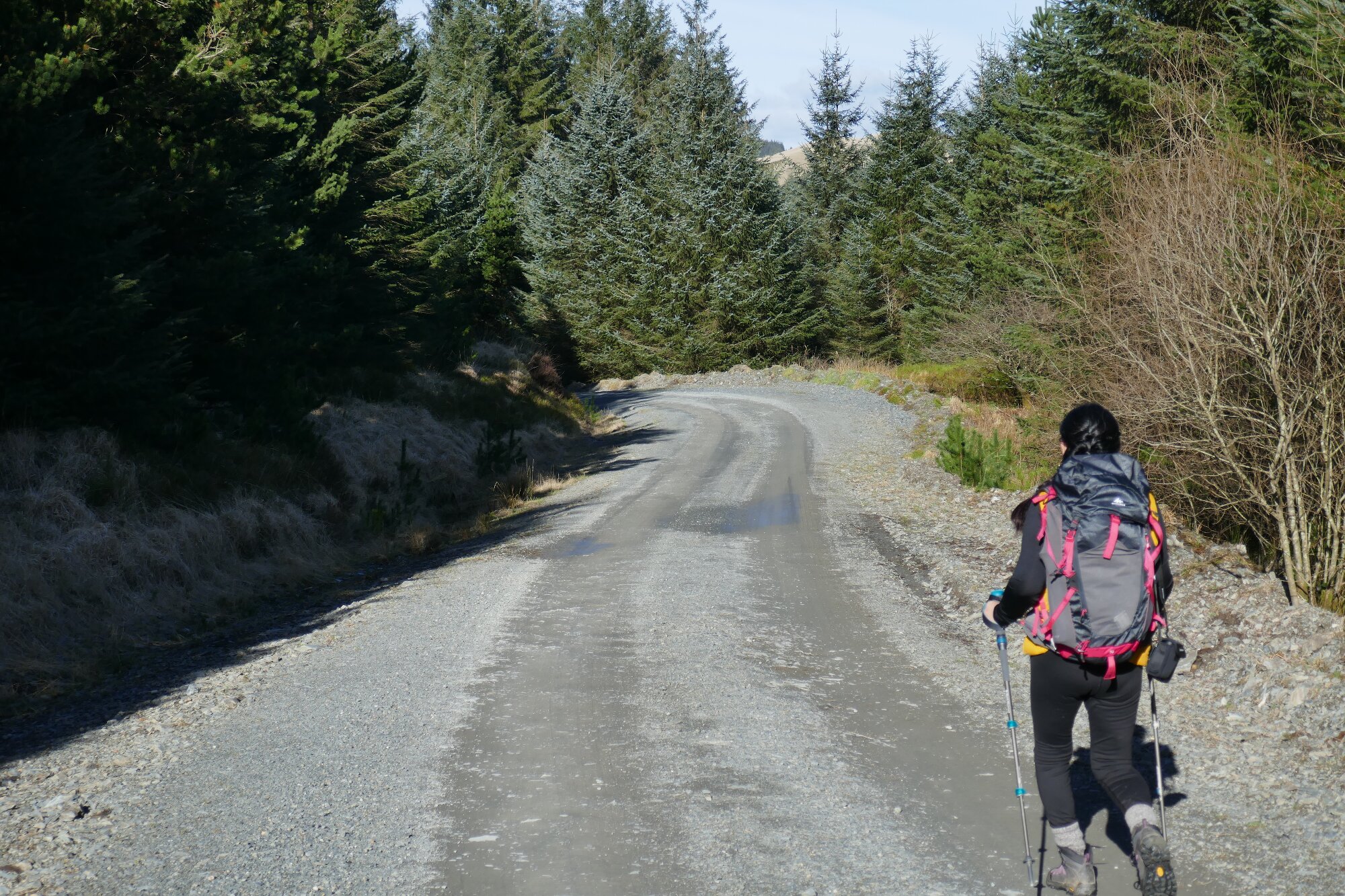
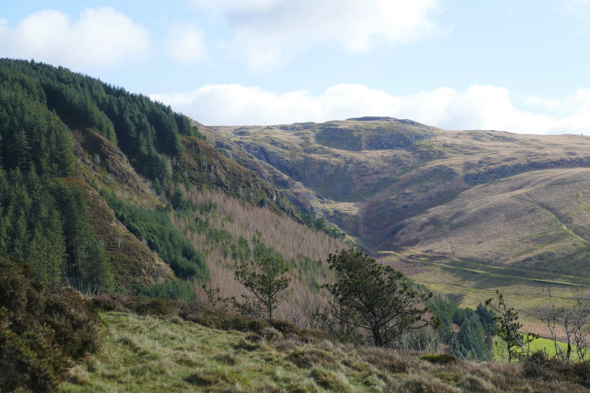
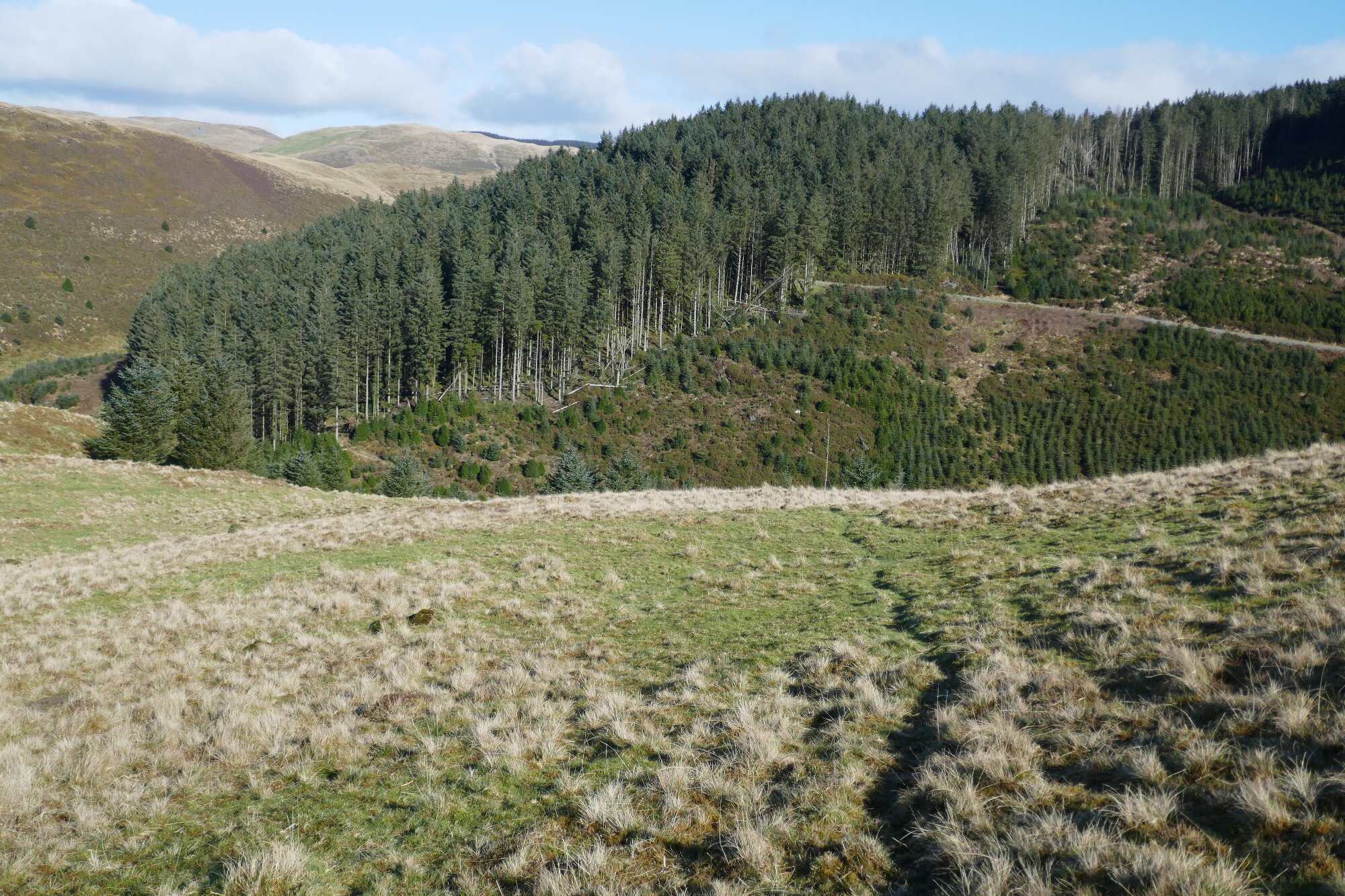
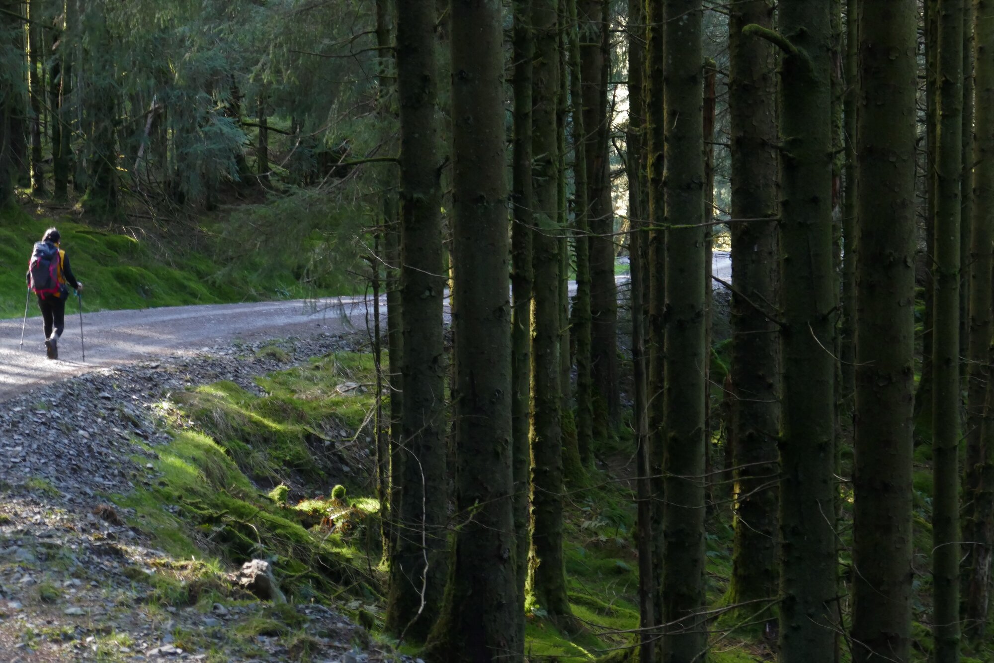
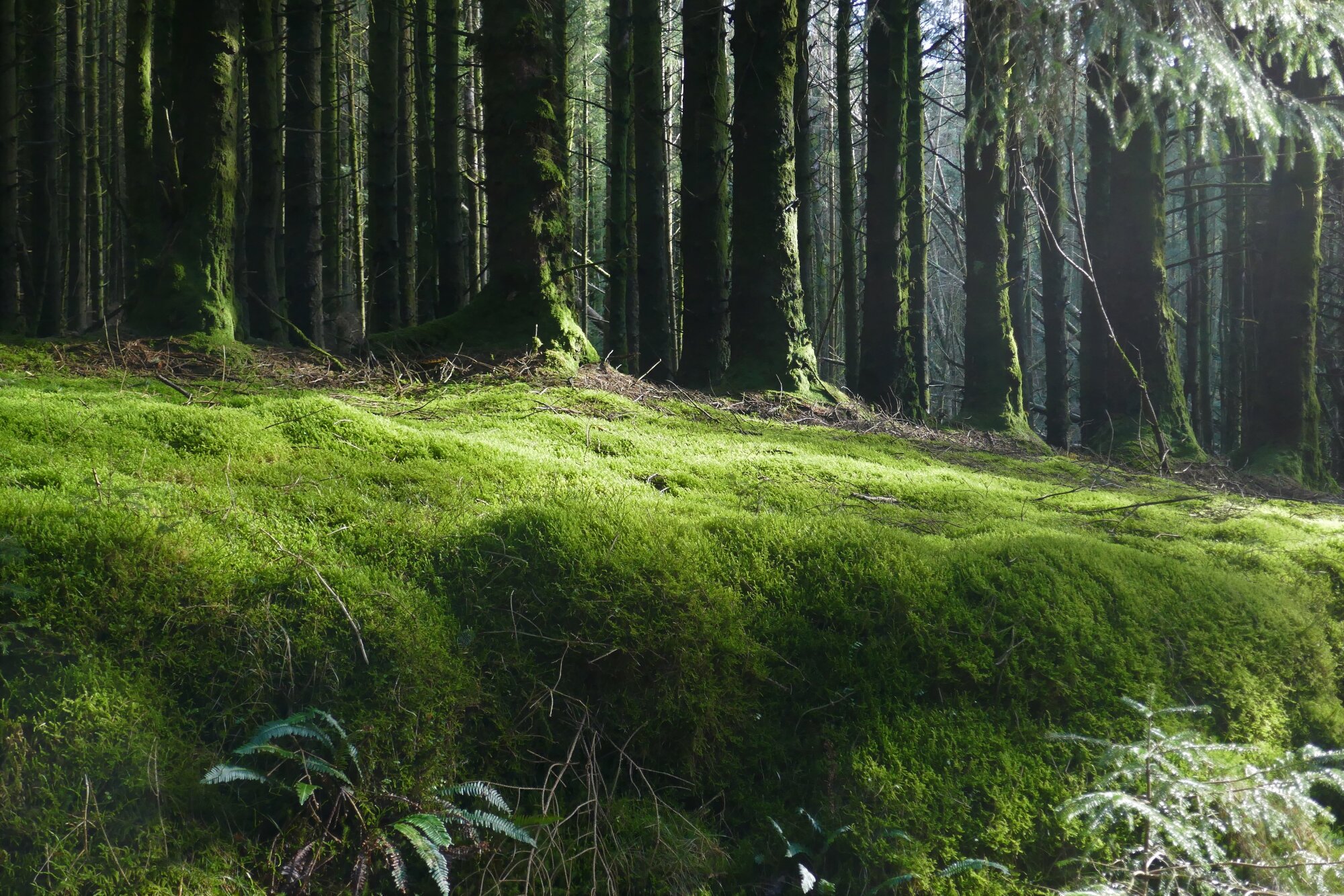
This track soon gets to its highest point just before the first major bend to the right, and from then on winds down through the forest taking a circuitous route, more or less following the contours, resulting in an almost continuously level or gently descending walking experience. There are also numerous places where there are sudden views, gaps in the trees, and interesting forest features. Unfortunately, this track is sometimes used for motor rallying, but these occasions are few and far between, and have not resulted in damage to the track... in fact the compacted surface is fine for walking. The odd mountain biker might also rush through.
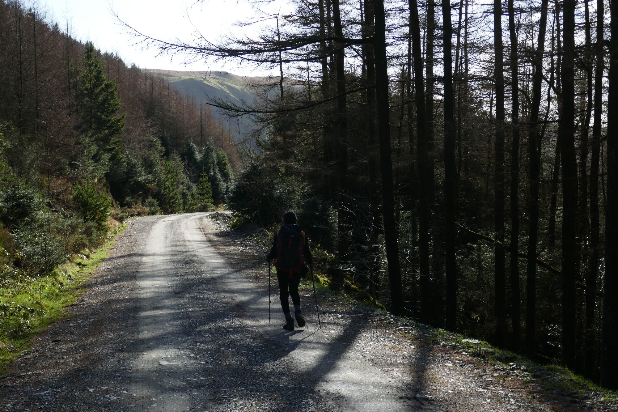
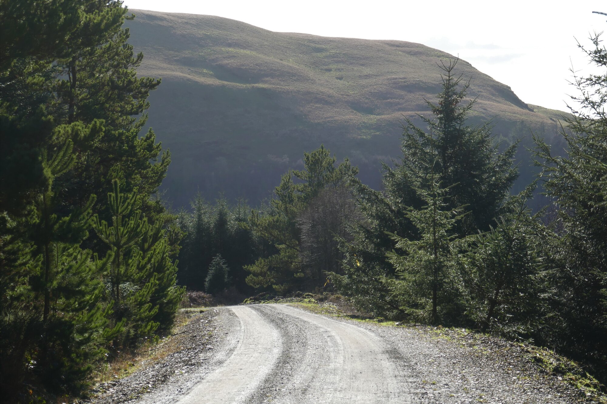
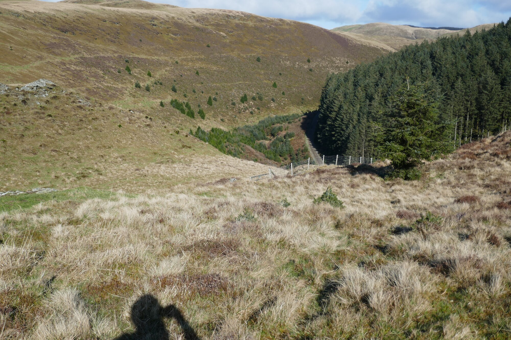
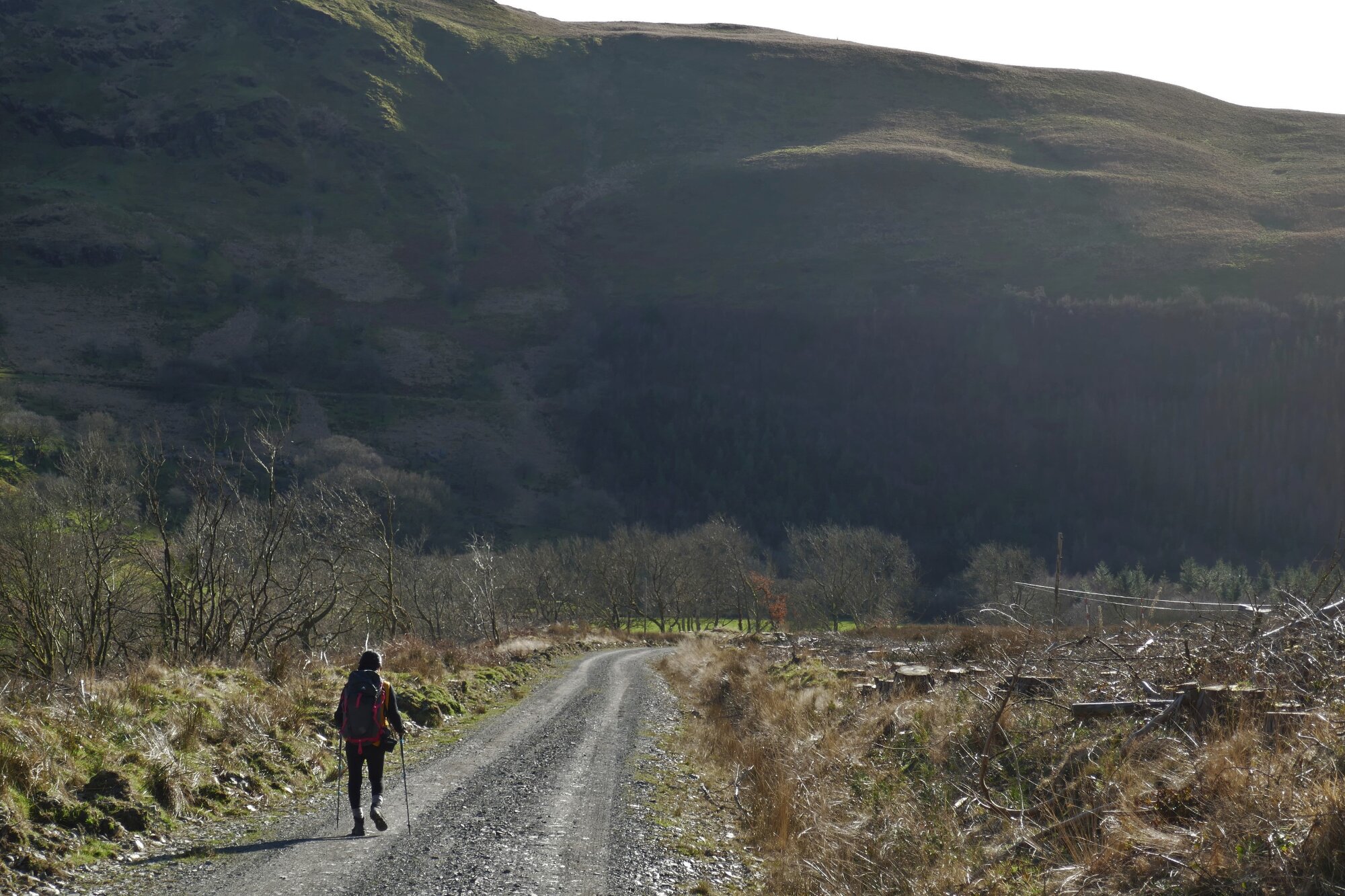
Eventually there is a last right hand hairpin bend, after which the track descends to cross the Afon Cyneiniog, before rising to a t-junction on the other side, where you turn left. There is then an easy, scenic walk of about 1 ½ km, including an easily openable metal gate, back to the starting point.
Comments (2)
Melvyn Davies:
Sep 09, 2023 at 05:37 PM
Stile at point 7 is now covered with a length of blue water pipe
Paul Campbell:
Jul 04, 2024 at 12:00 PM
Really nice walk again, this one the scenery reminded me a bit of Canada for some reason. It does look a nice walk