


This is a beautiful, relatively easy walk that gives a real taste of this wonderful mountain area without being too demanding, and with good transport links to Aberystwyth. There is also the attraction of the easy ascent of the Dinas hillfort in the middle of the walk to add even more interest. The starting point is at Bwlch Nant yr Arian, where there are also delightful waymarked short walks as well as mountain biking trails. There are buses from Aberystwyth that will stop here, as well as extensive car parking. Of course it is possible to do the Dinas hillfort section only by just walking up the lane from Ponterwyd (it starts just downhill from the petrol station and the George Borrow hotel), but that would omit some lovely walking.
(opens in new tab):
of starting point :
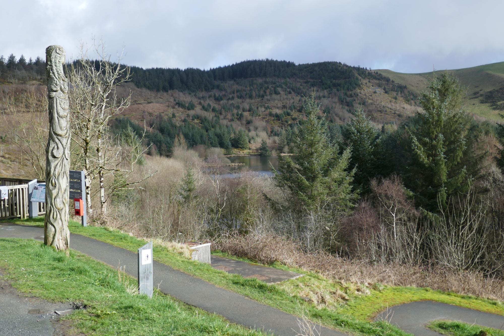
Take the bus, or drive, east from Aberystwyth for about 10 miles to the NRW centre at Bwlch Nant yr Arian. Parking here has recently become expensive, but there is free parking on two laybys on the main road nearby.
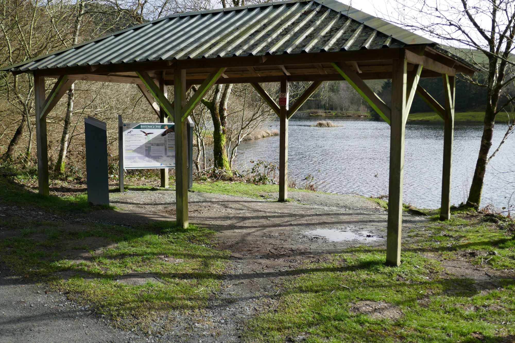
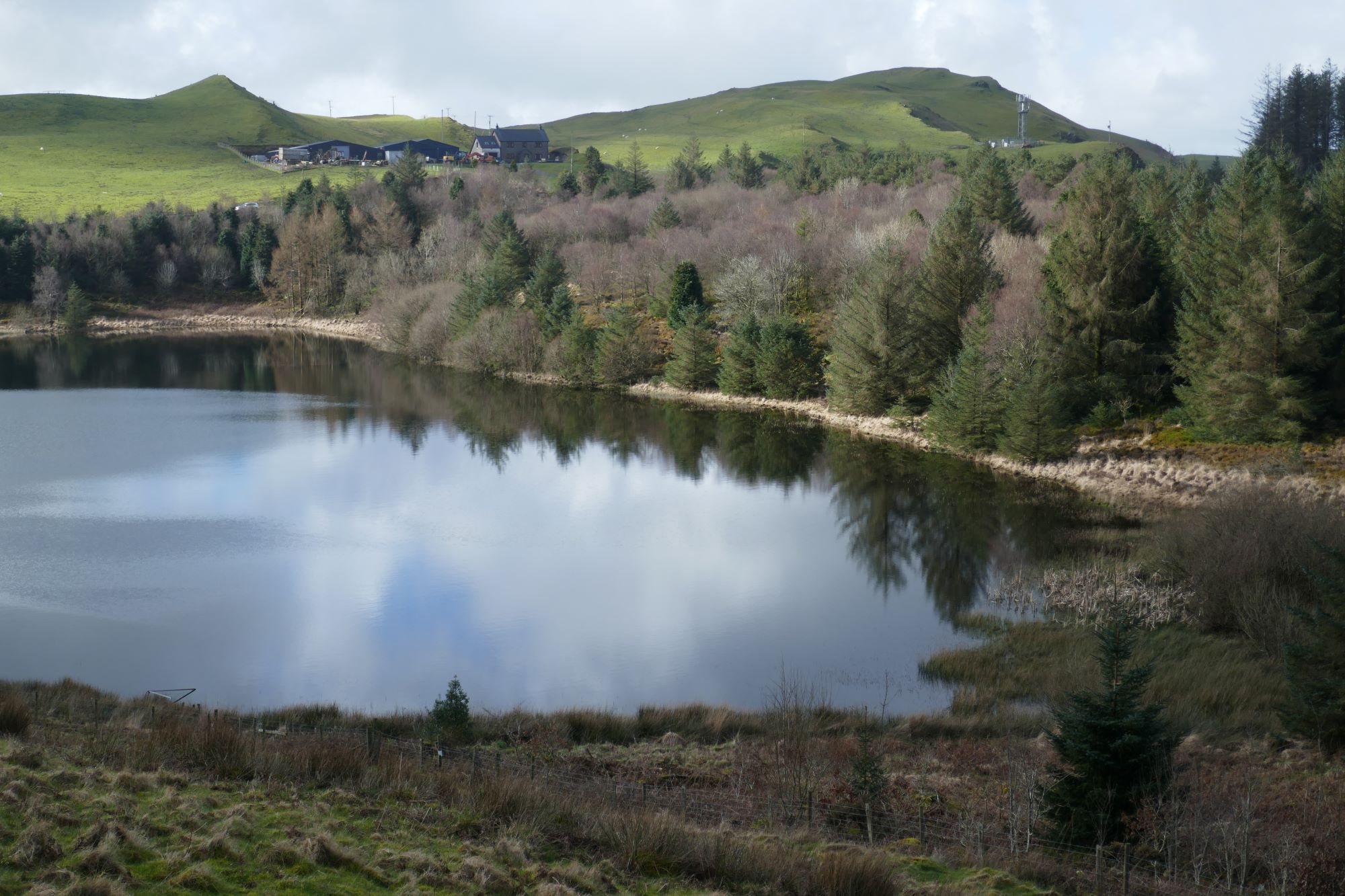
From the Visitor Centre, follow the winding path down to the side of the lake, a place famous for the rescue and continuing preservation of the red kite, and a popular tourist attraction at red kite feeding times. Follow the lakeside path.
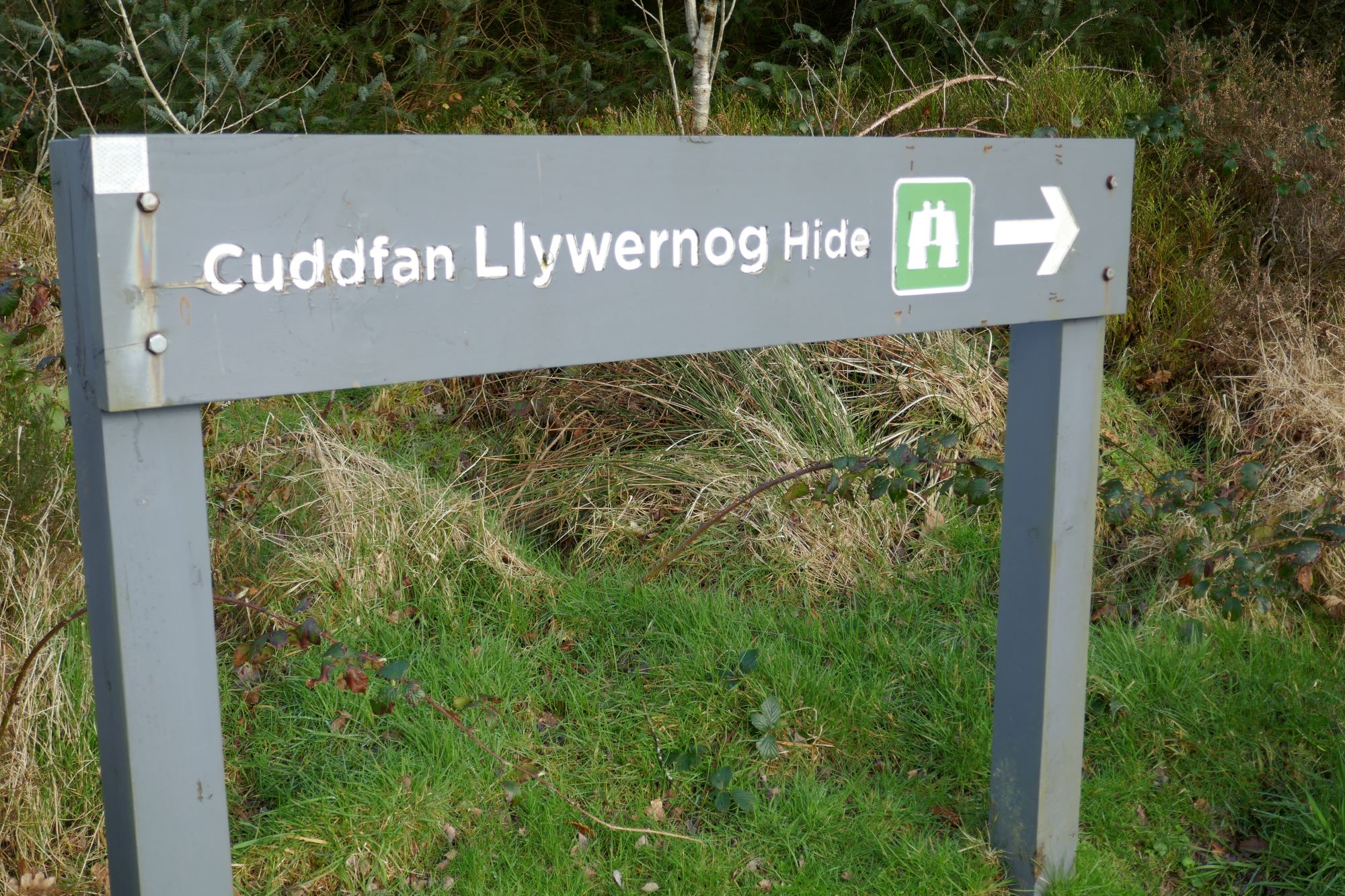
There is a somewhat perplexing system of surfaced footpaths here, but follow the signs to ‘Cyddfan Llywernog Hide’, and once at the hide, ascend a small path going uphill a short way(see right hand pic below), then turn right on a clear track that you join.
You soon get to a gate with a ‘bull in field’ warning sign…but no-one seems to have ever seen a bull here, and on my photo-taking day, there were no signs of any cattle (or even cow pats). Perhaps this is an outrageous attempt to deter people from exercising their rights to walk on a Public Right of Way.
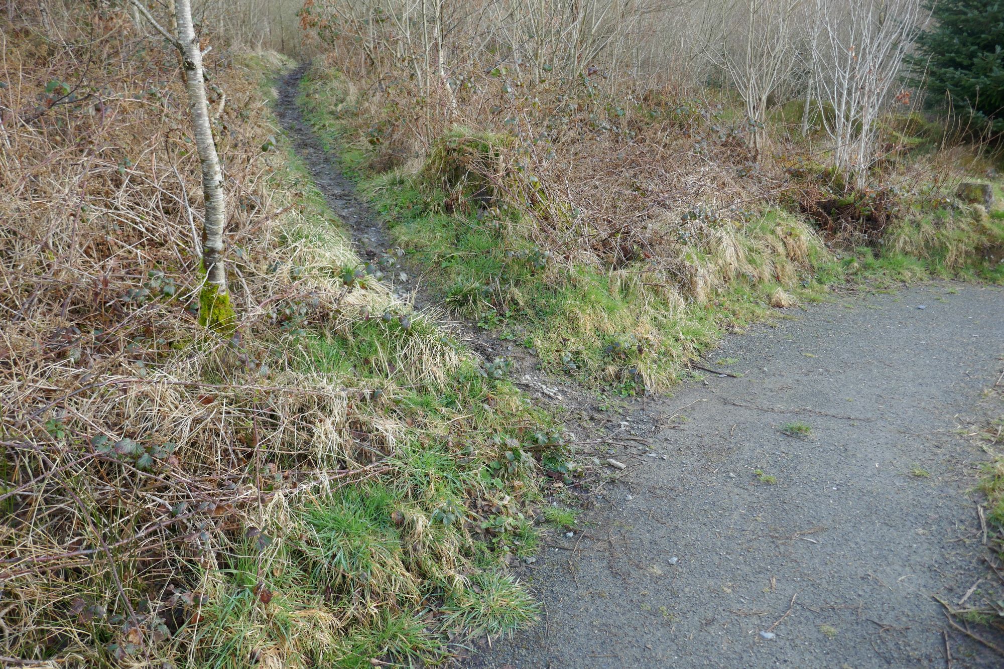
 The rather faint path joins a clearer bridle track ascending left quite steeply uphill.(see right-hand pic below)
 Then bear right towards a gate alongside an elongated copse of trees.
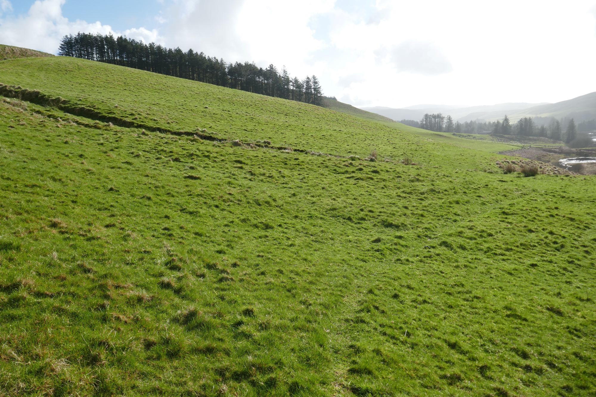
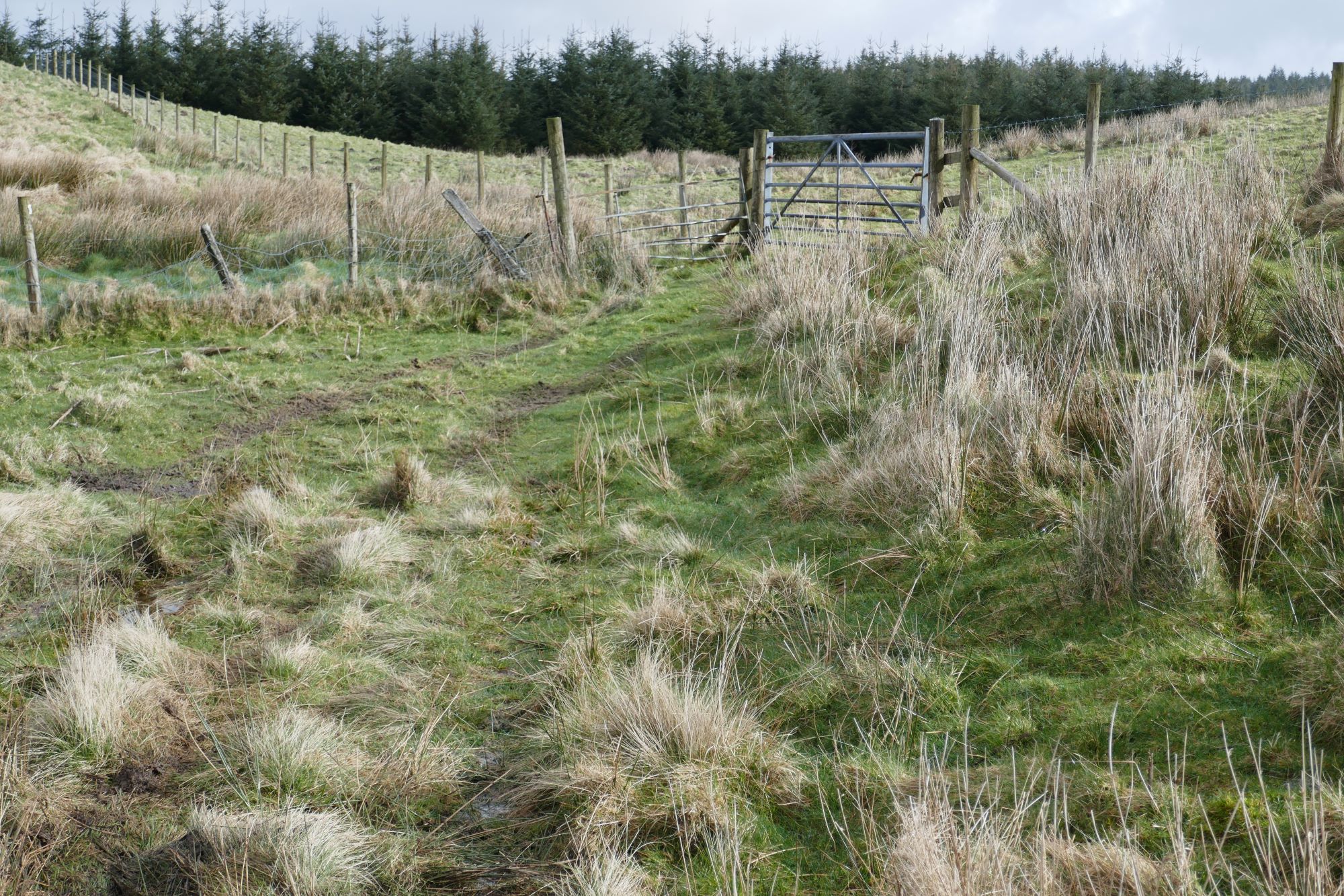
 From here, soon take the less promising track bearing leftish, with lovely views, and avoiding the more obvious route ascending the hill to the right. You should arrive at another gate (see right-hand pic below):
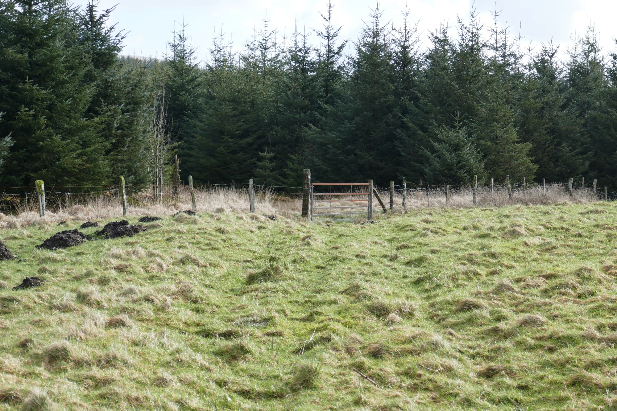
 Then cross a field corner on a faint path to arrive at a forest boundary.
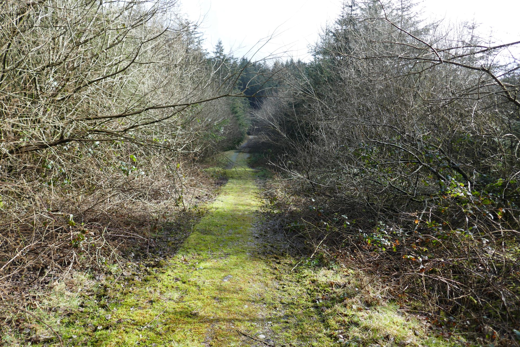
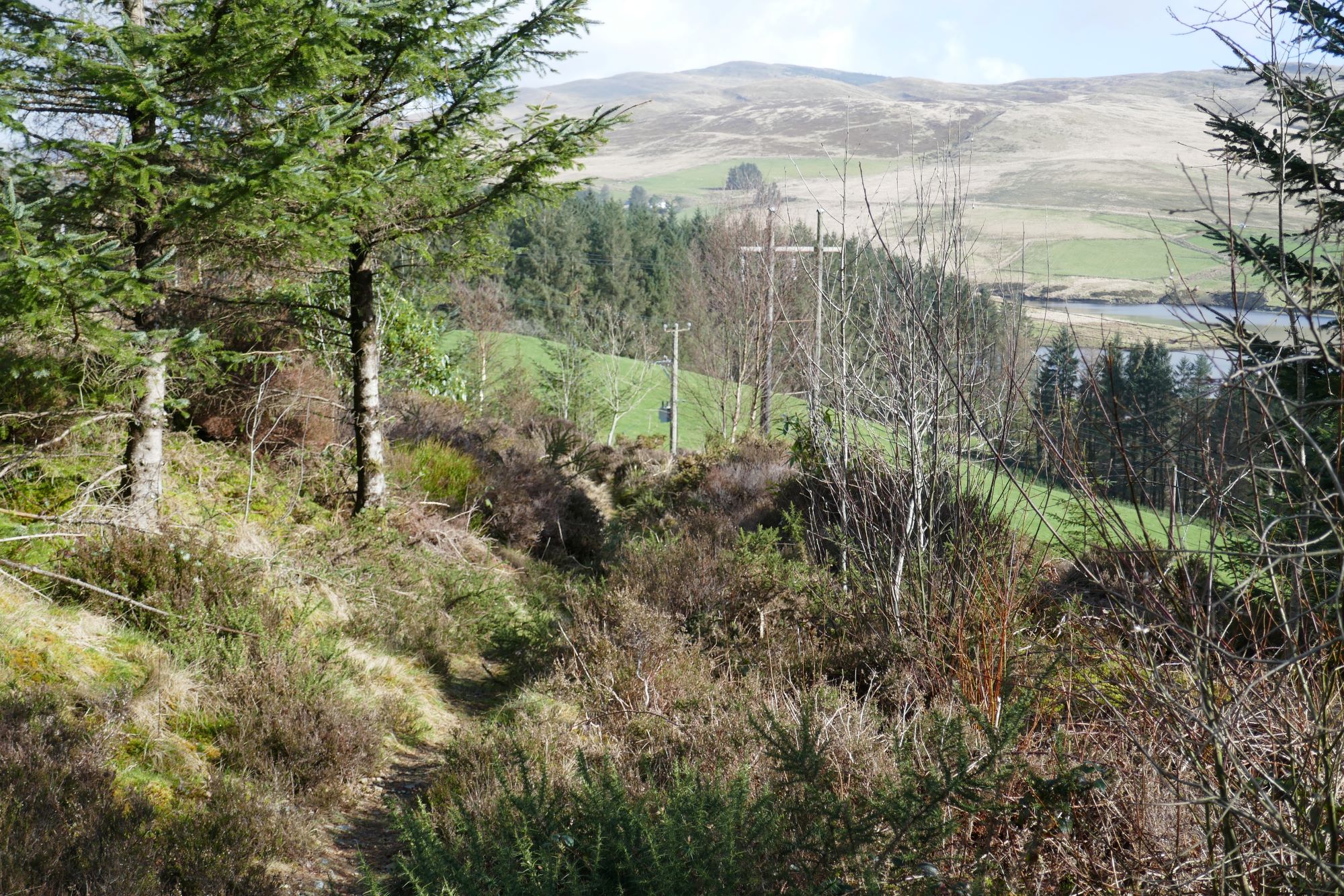
The small path is easy to follow through the forested area, soon joining a wider track where you turn right,leading eastwards.
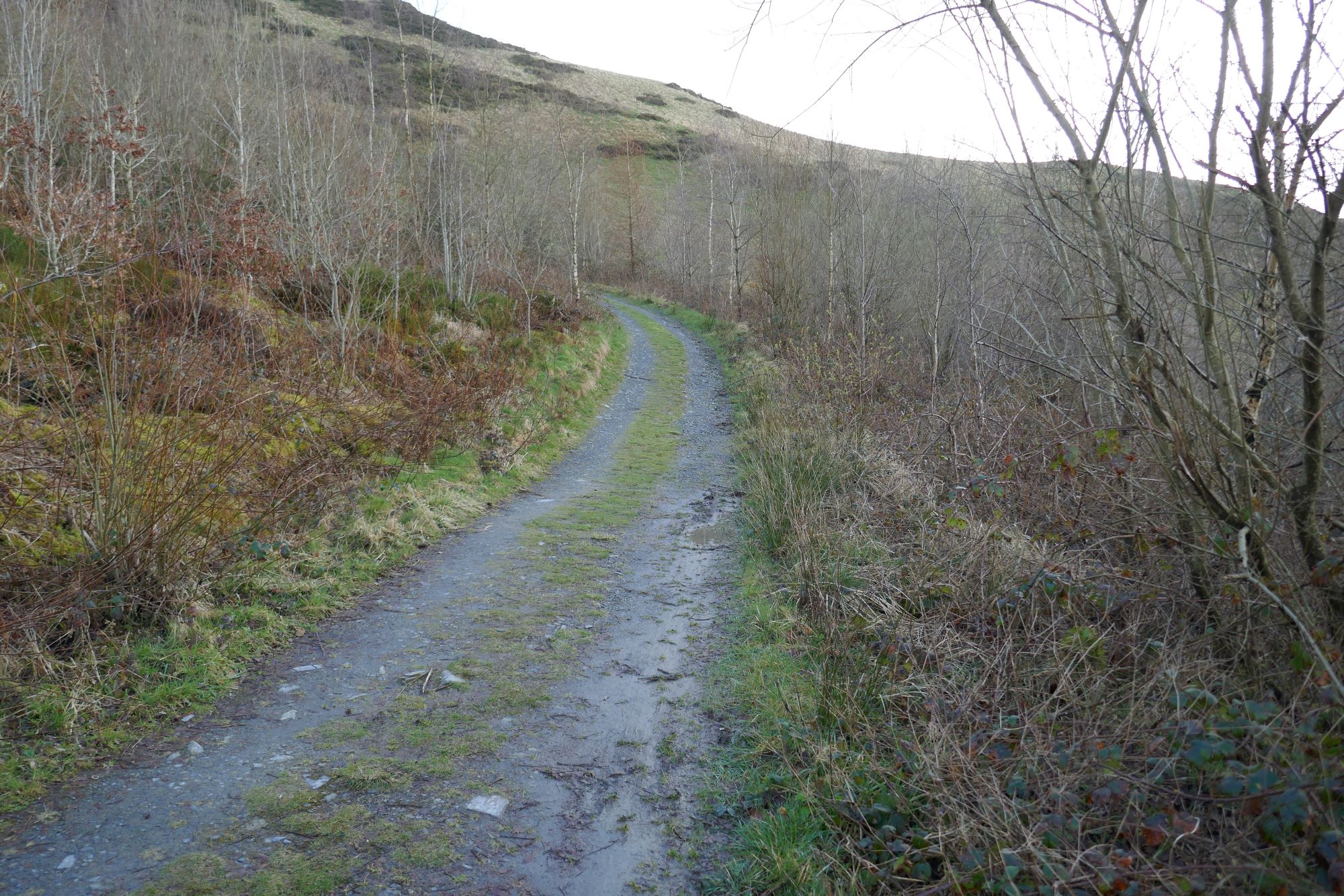
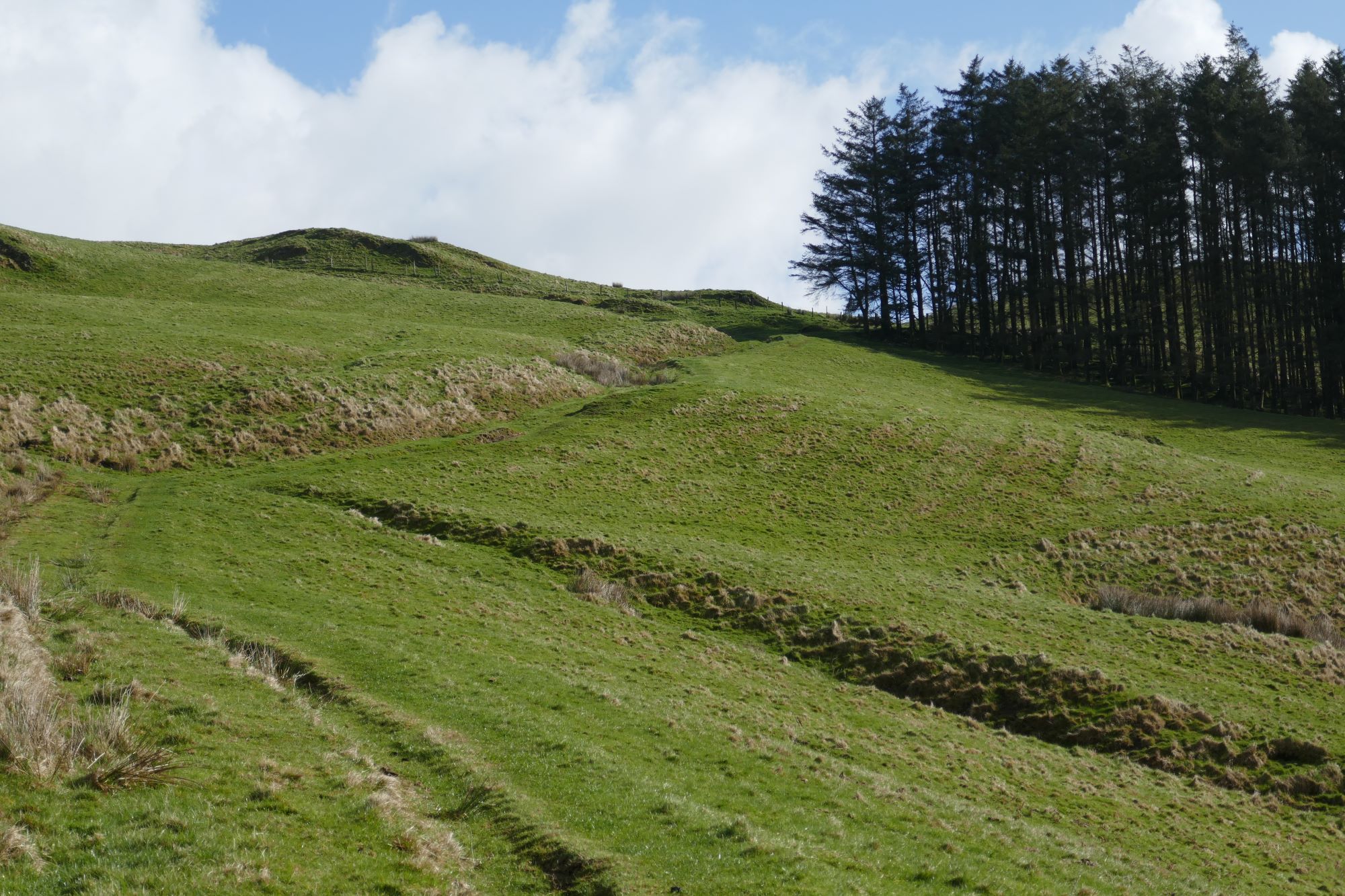
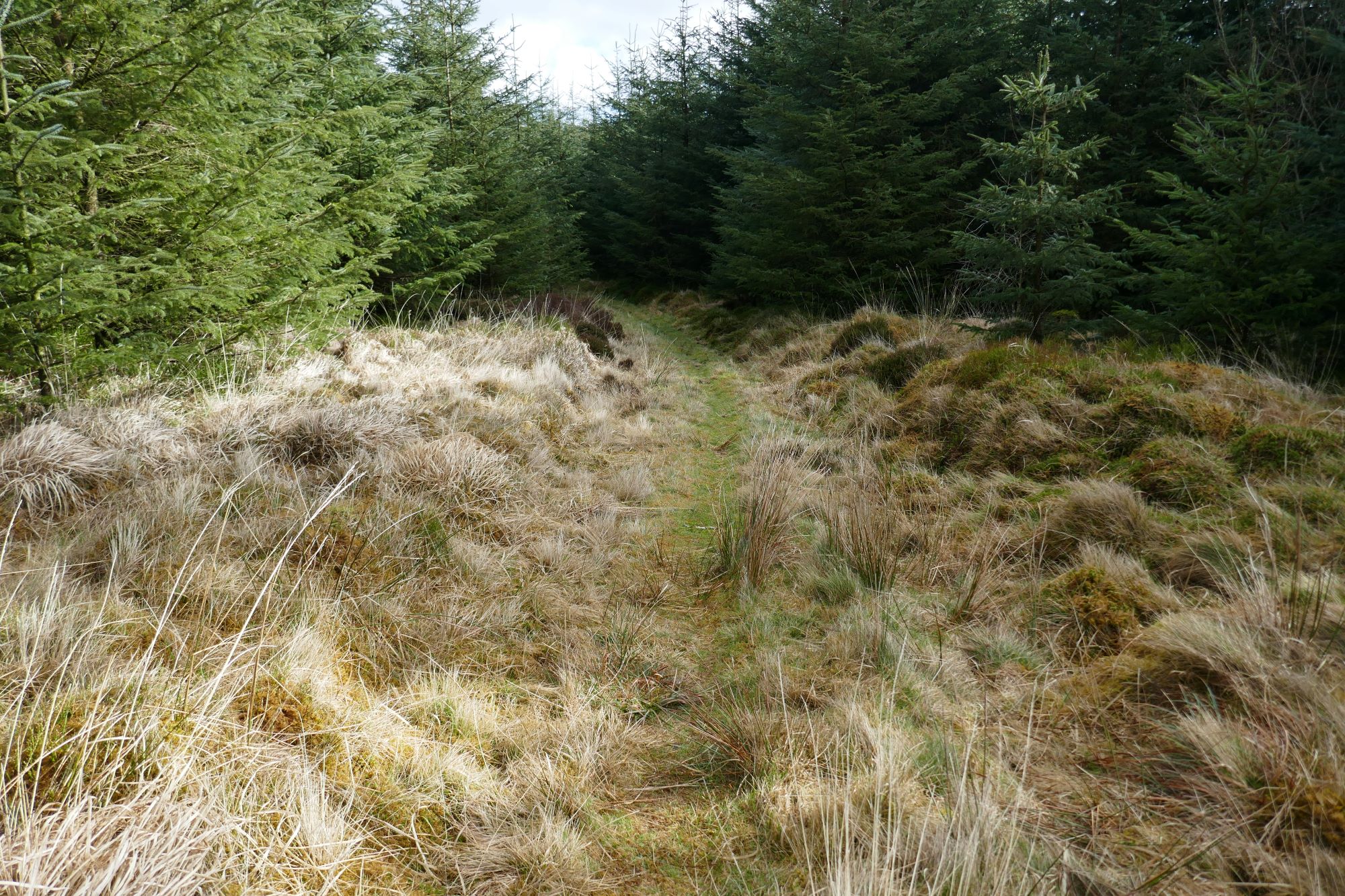
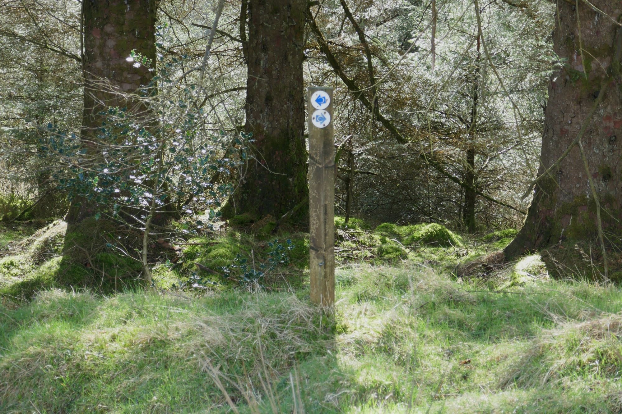
 About 500 m further on, you need to be careful…it is easy to go wrong here. The excellent track you have been on bends gently uphill to the left, but you should observe (an easy to miss) waymark post and take the right fork, which is really straight on, on an unpromising-looking rather boggy path (see below right).
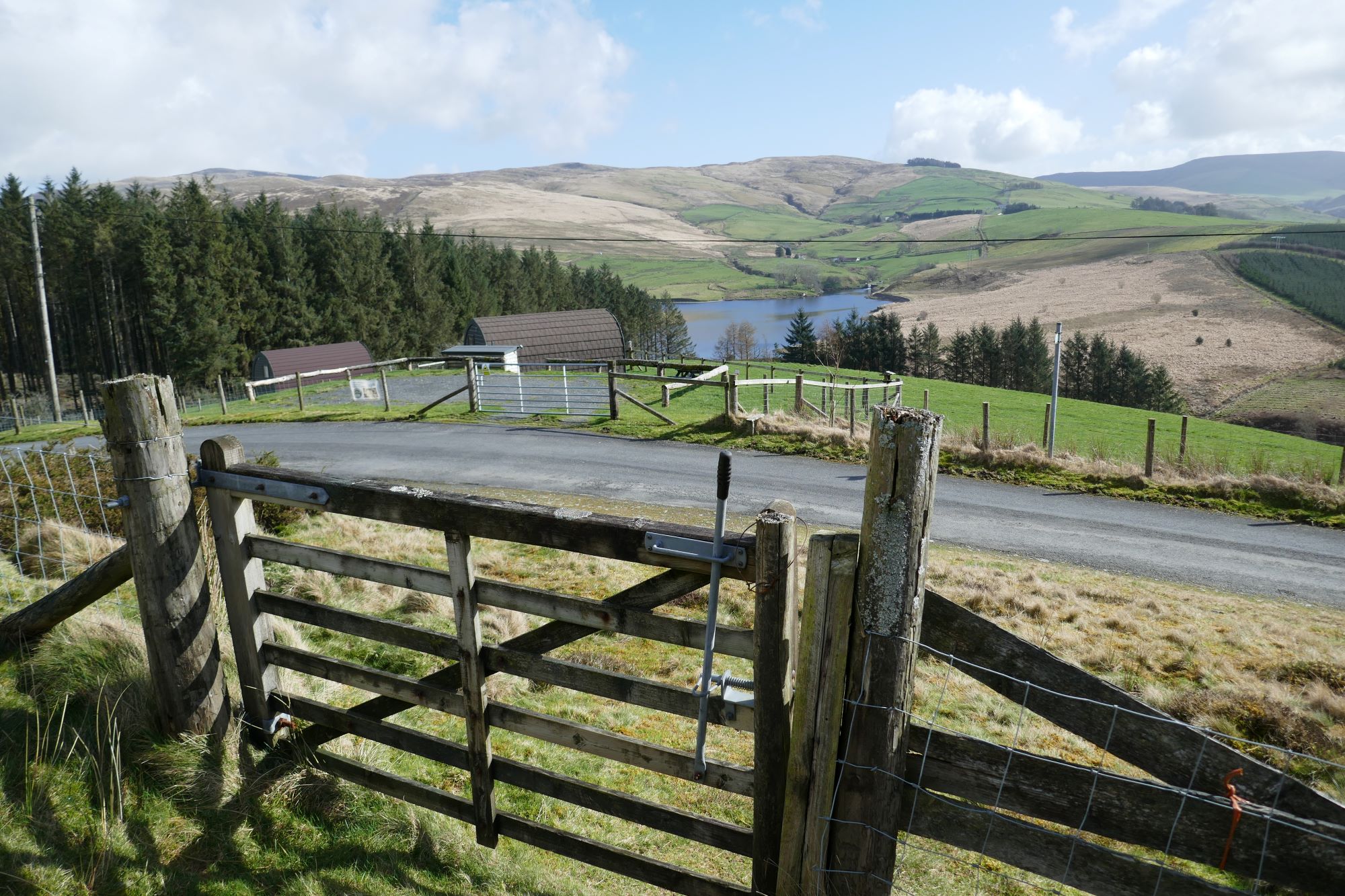
 Soon this drops down towards a tarmac lane, and emerges onto it through a gate opposite a ‘glamping’ site.
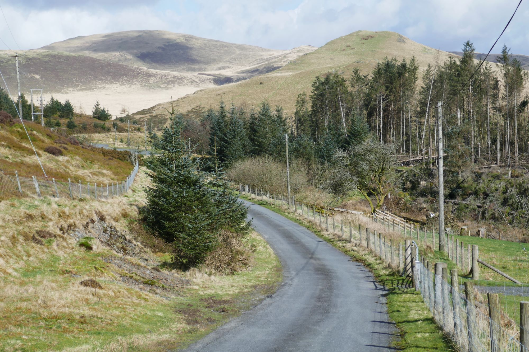
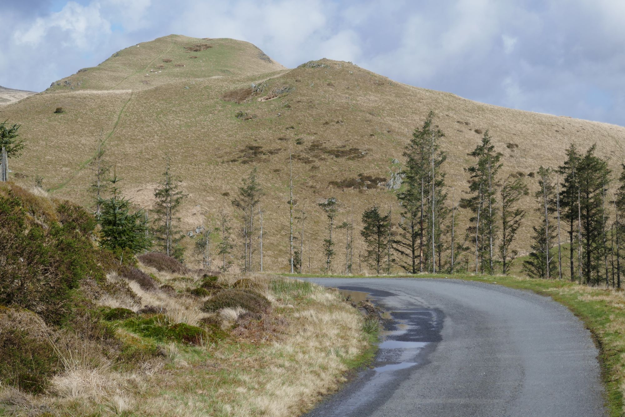
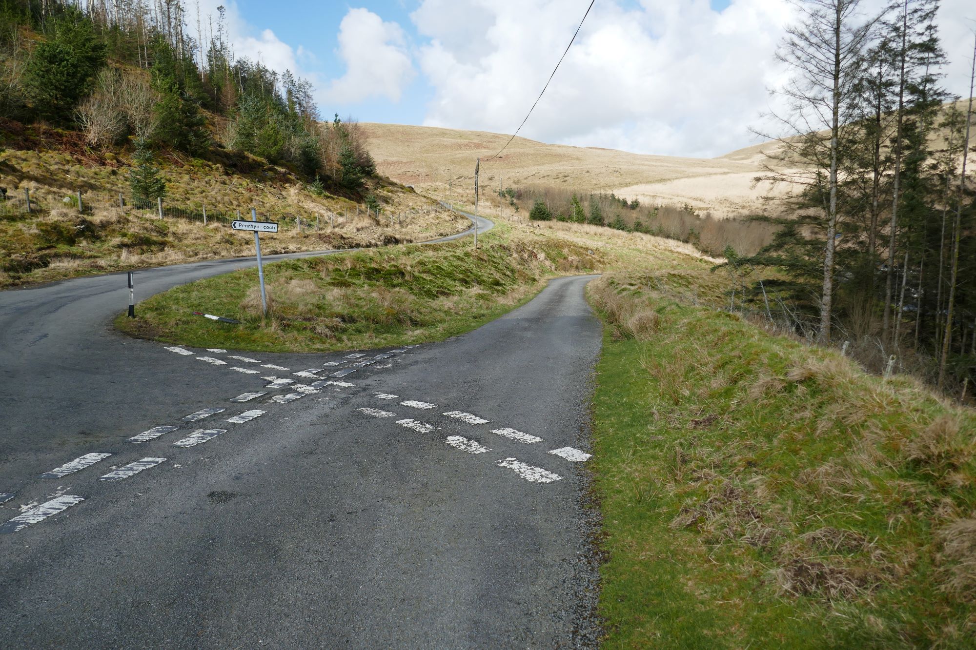
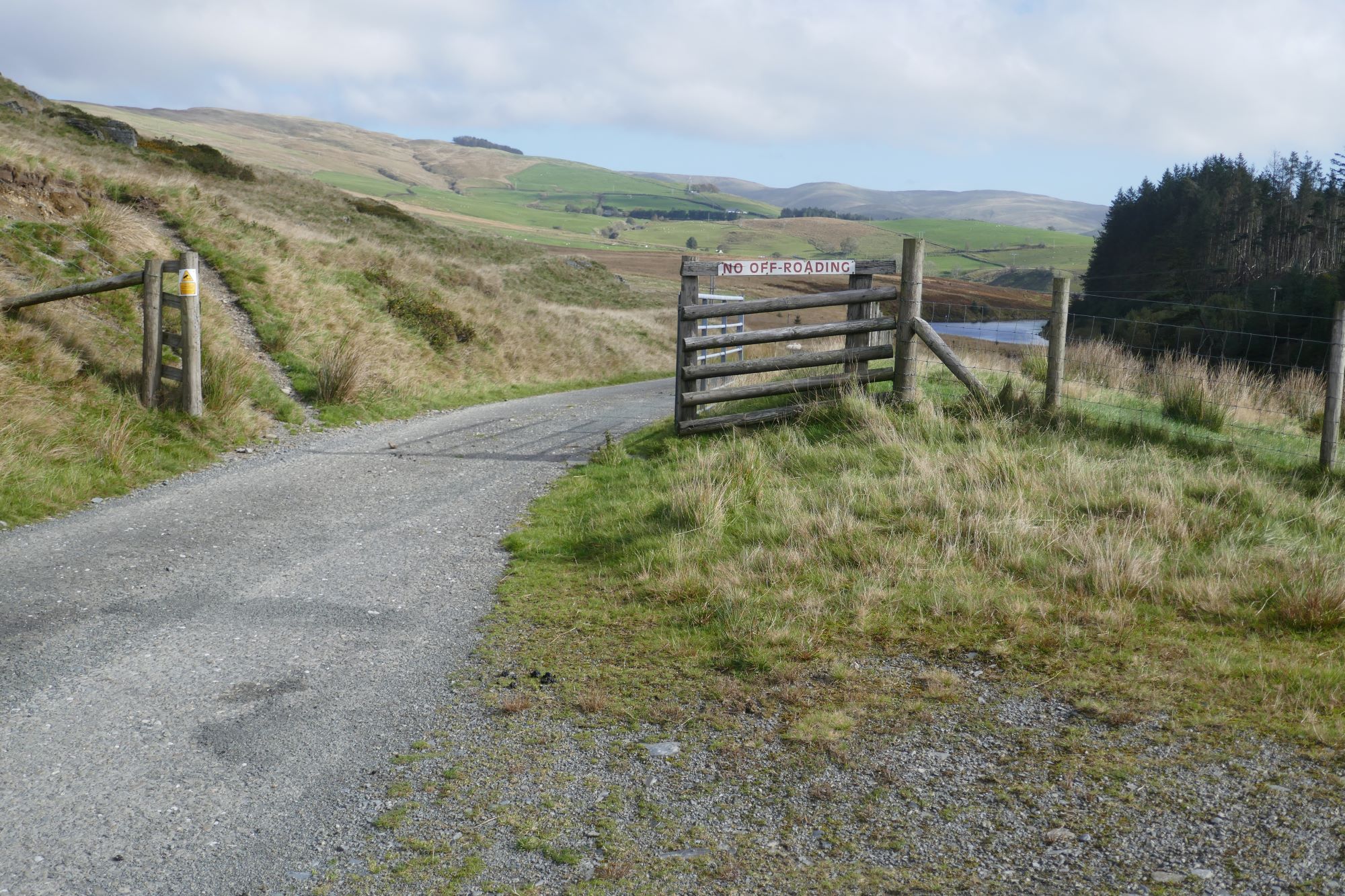
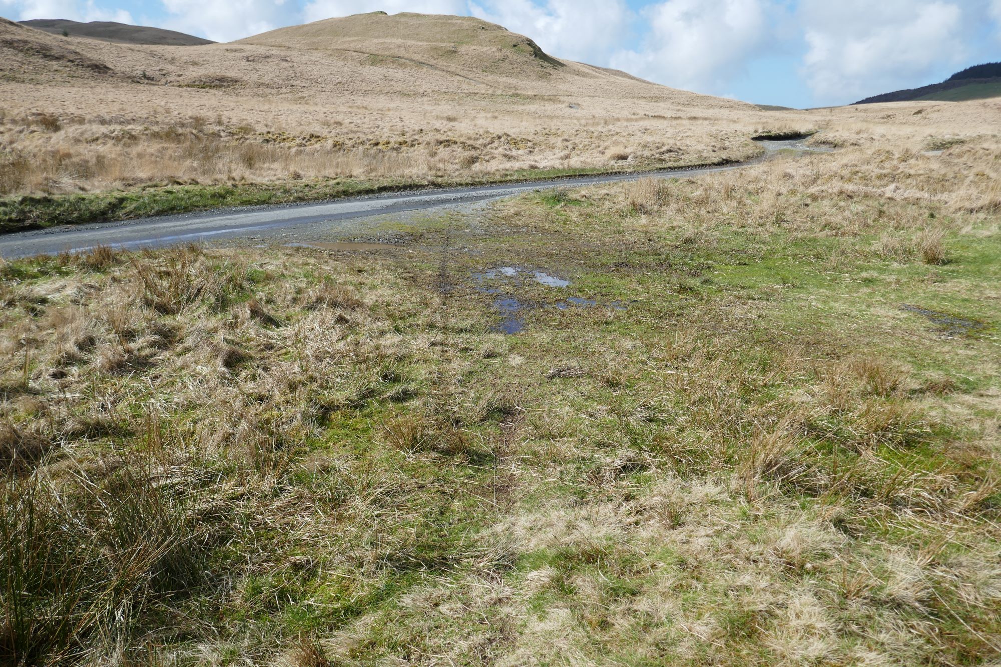
Turn left on the lane, and walk along the good verge for about 700m, admiring the great views all around. You will arrive at a point where the lane takes a sharp left turn signposted ‘Penrhyn-coch'...go straight on here, soon dropping down to the right.
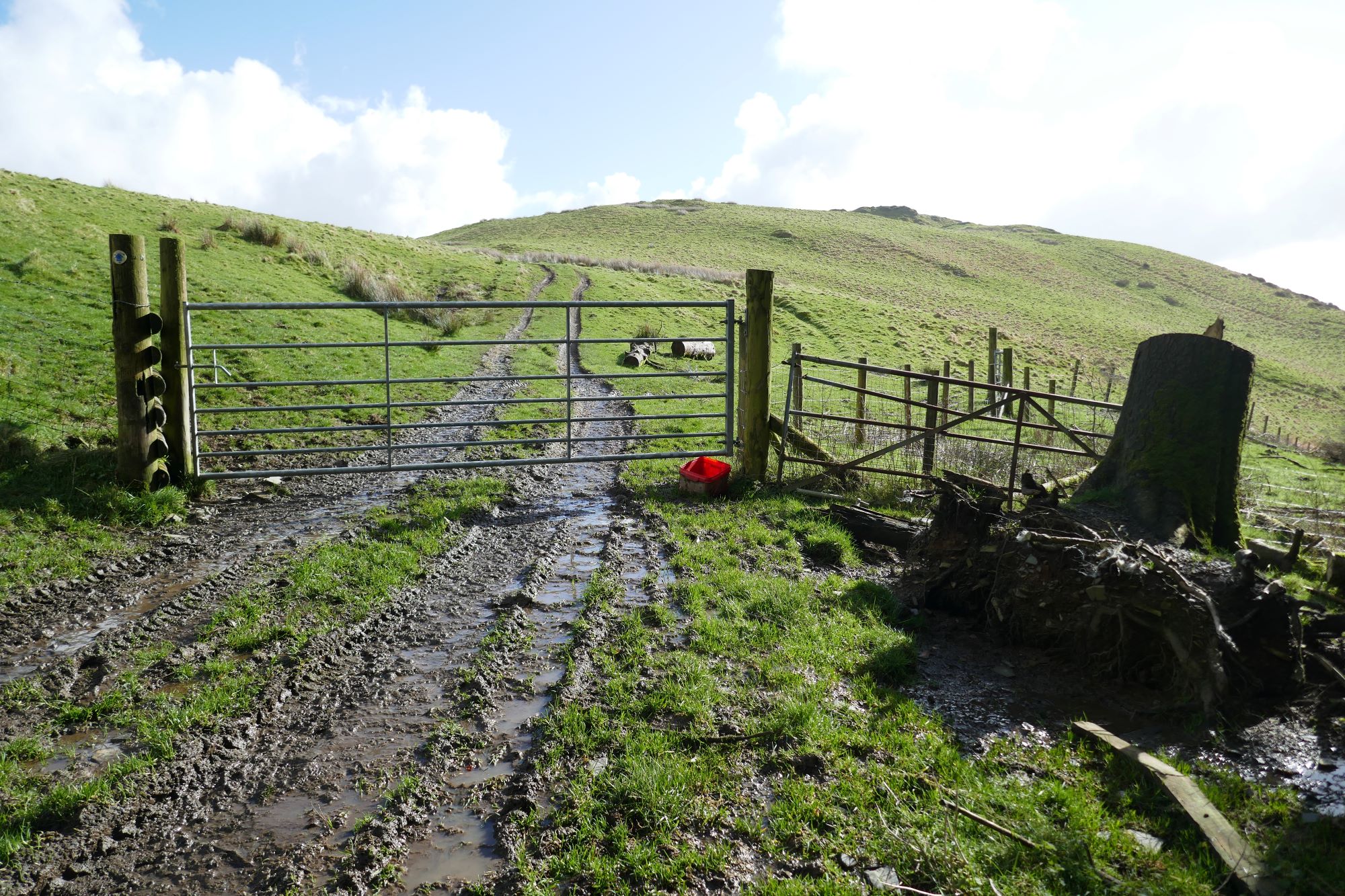
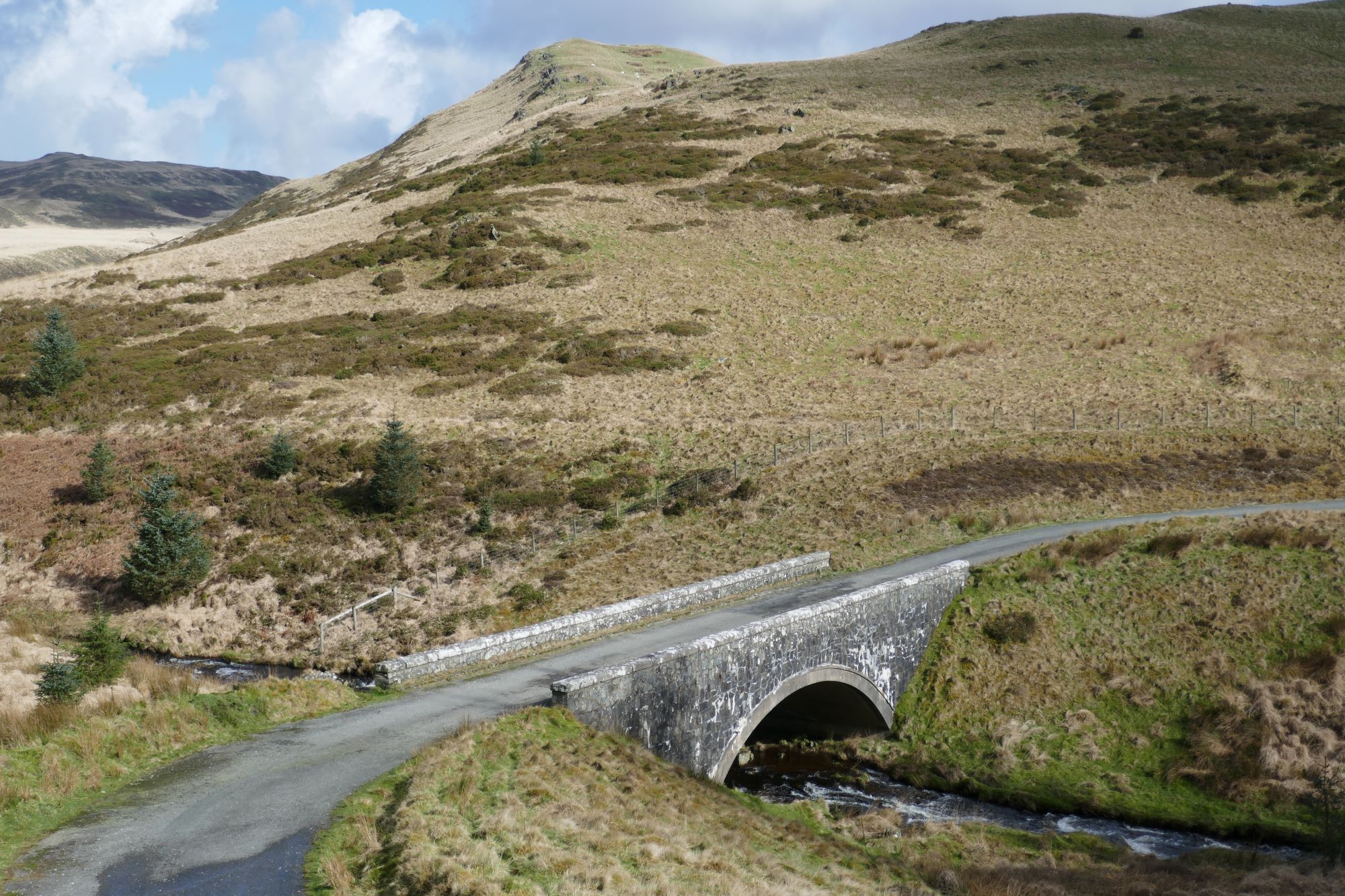
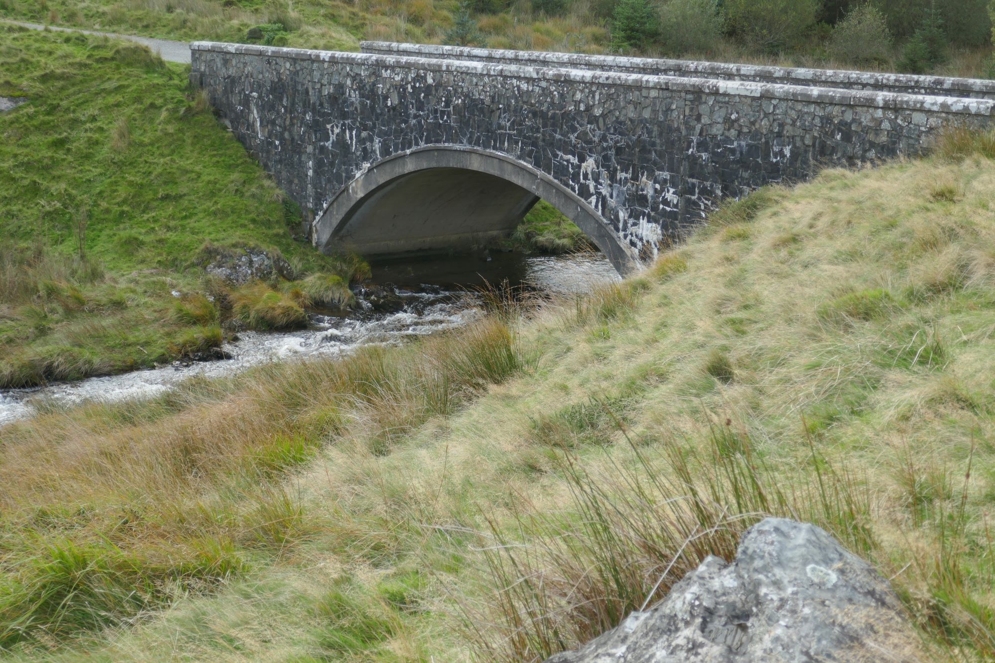
6. Turn right here and over a rather elegant bridge over a stream called Nant Dinas. A very short distance further on you arrive at an openable gate across the lane alongside a path climbing left up to Dinas summit.
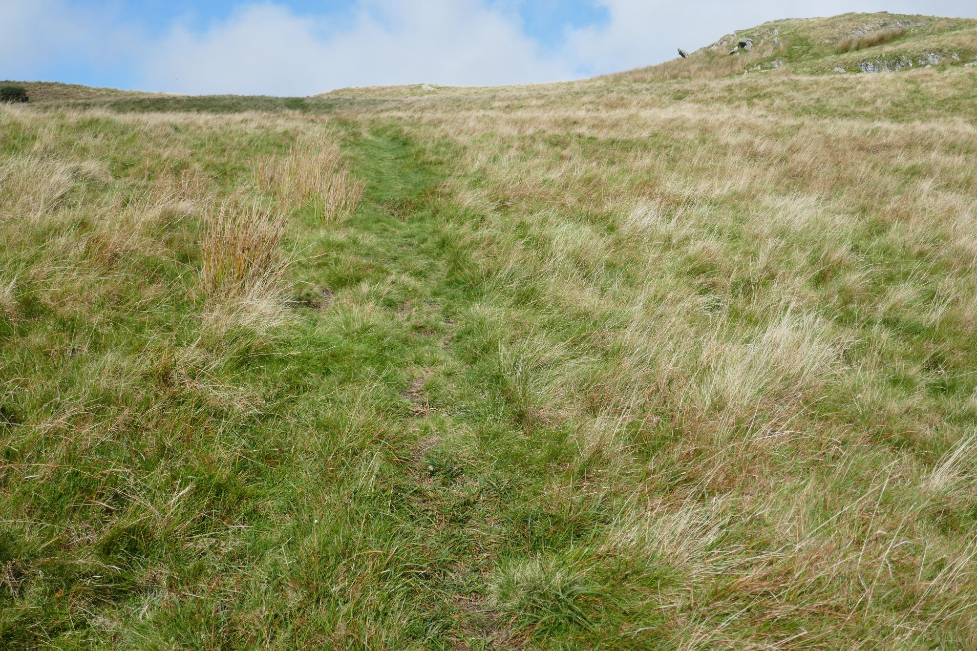
 Ascend on this clear path, avoiding being diverted right to a small ‘false summit’, through a slightly flatter, wetter area:
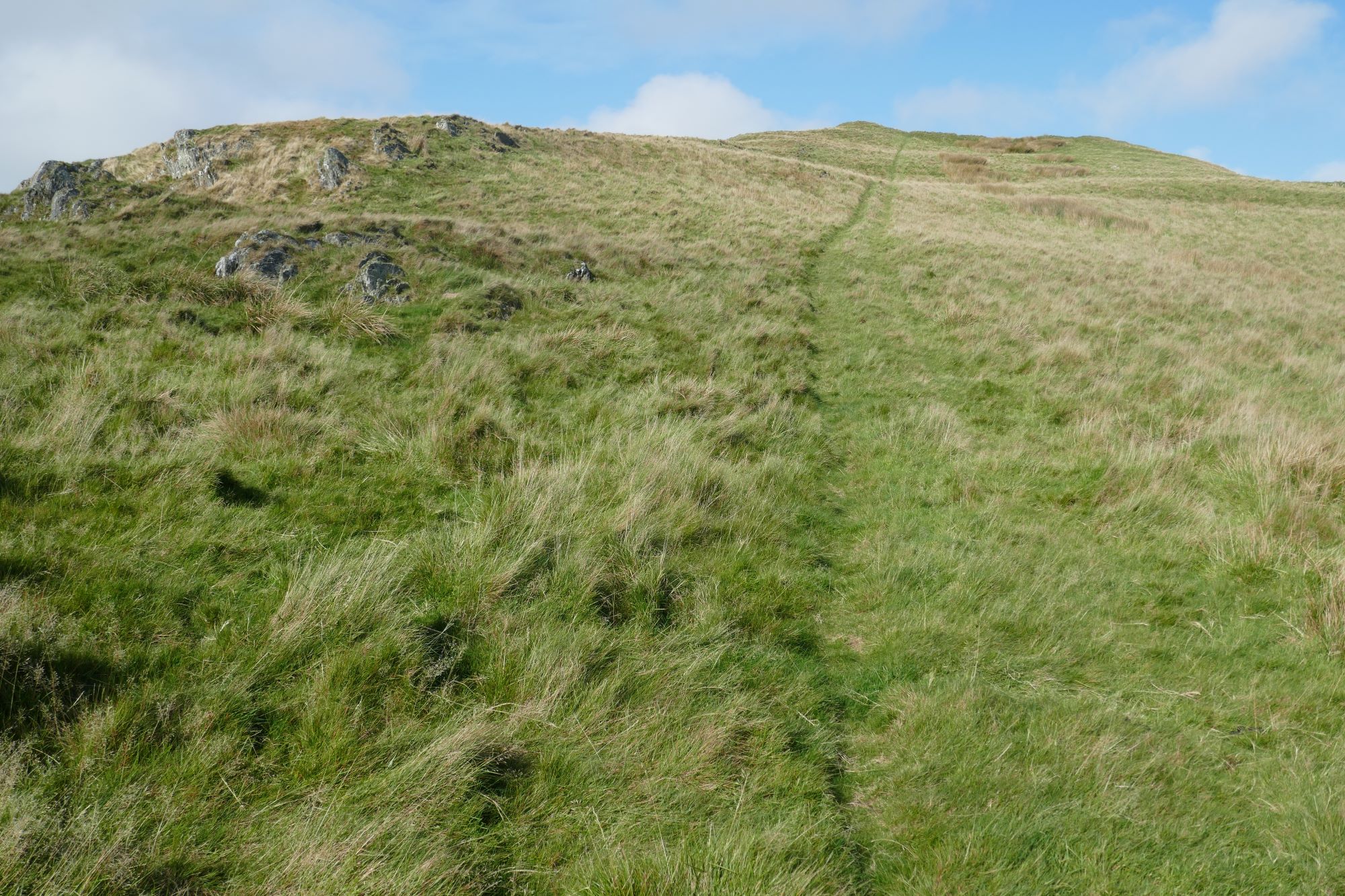
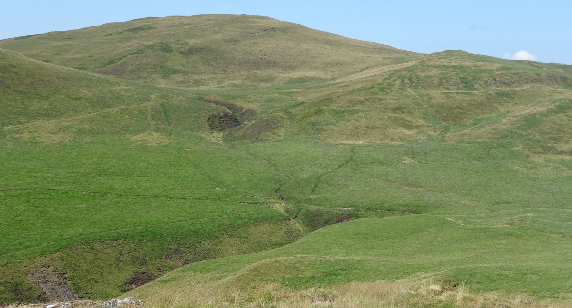
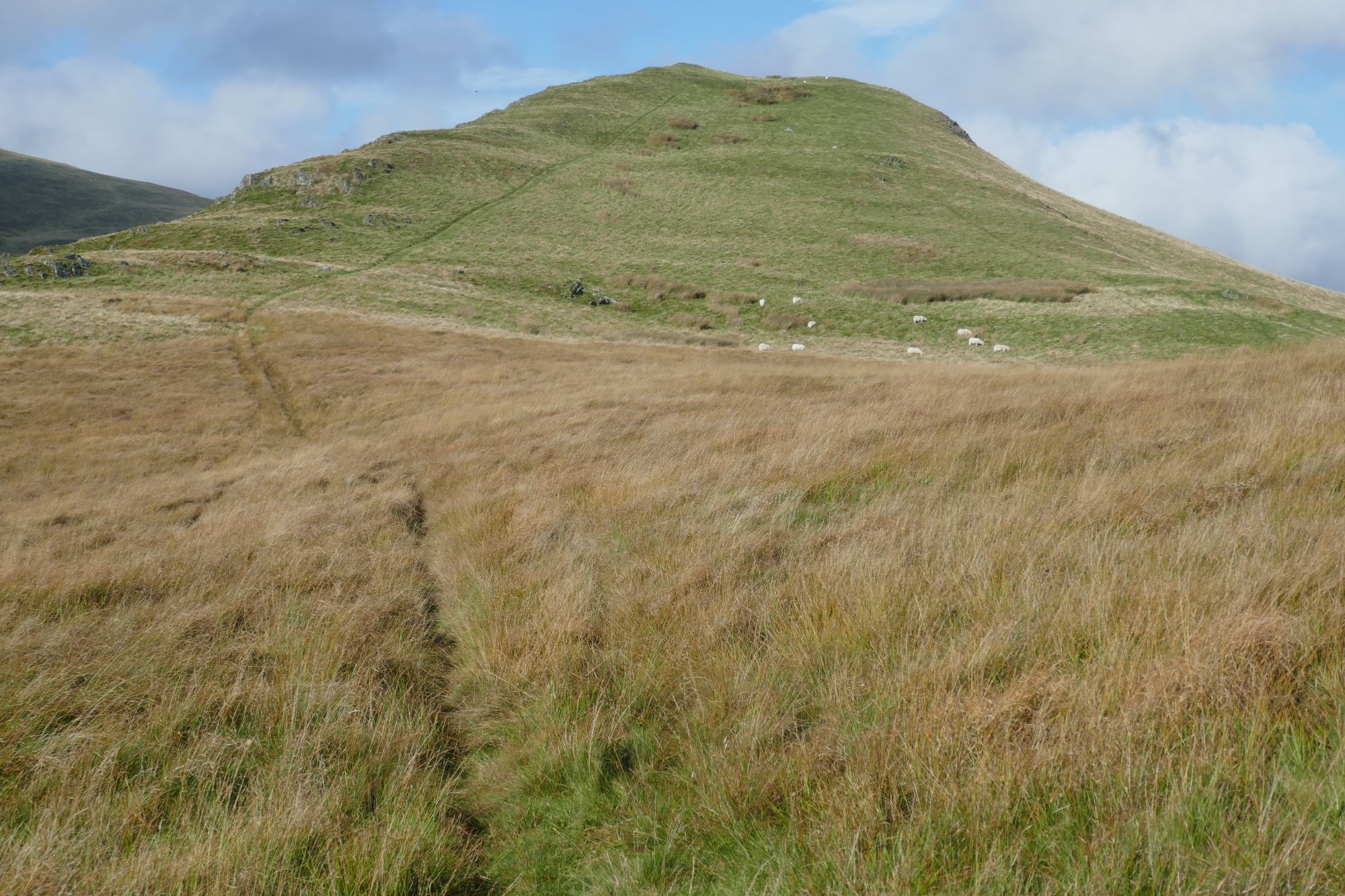 then up to the top alongside a slightly craggy ridge to the left which offers a more scenic, but exhausting route of ascent along its crest.
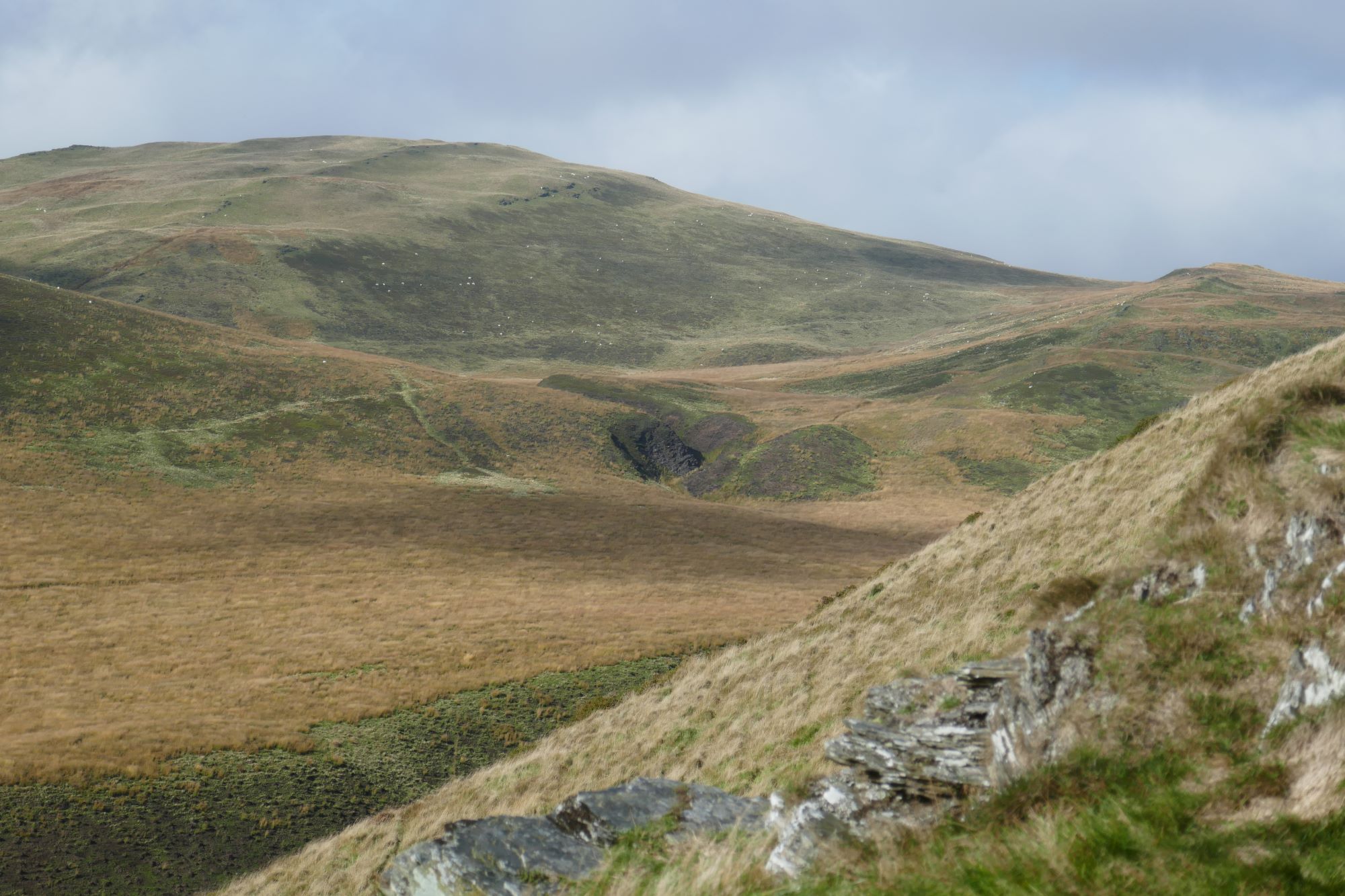
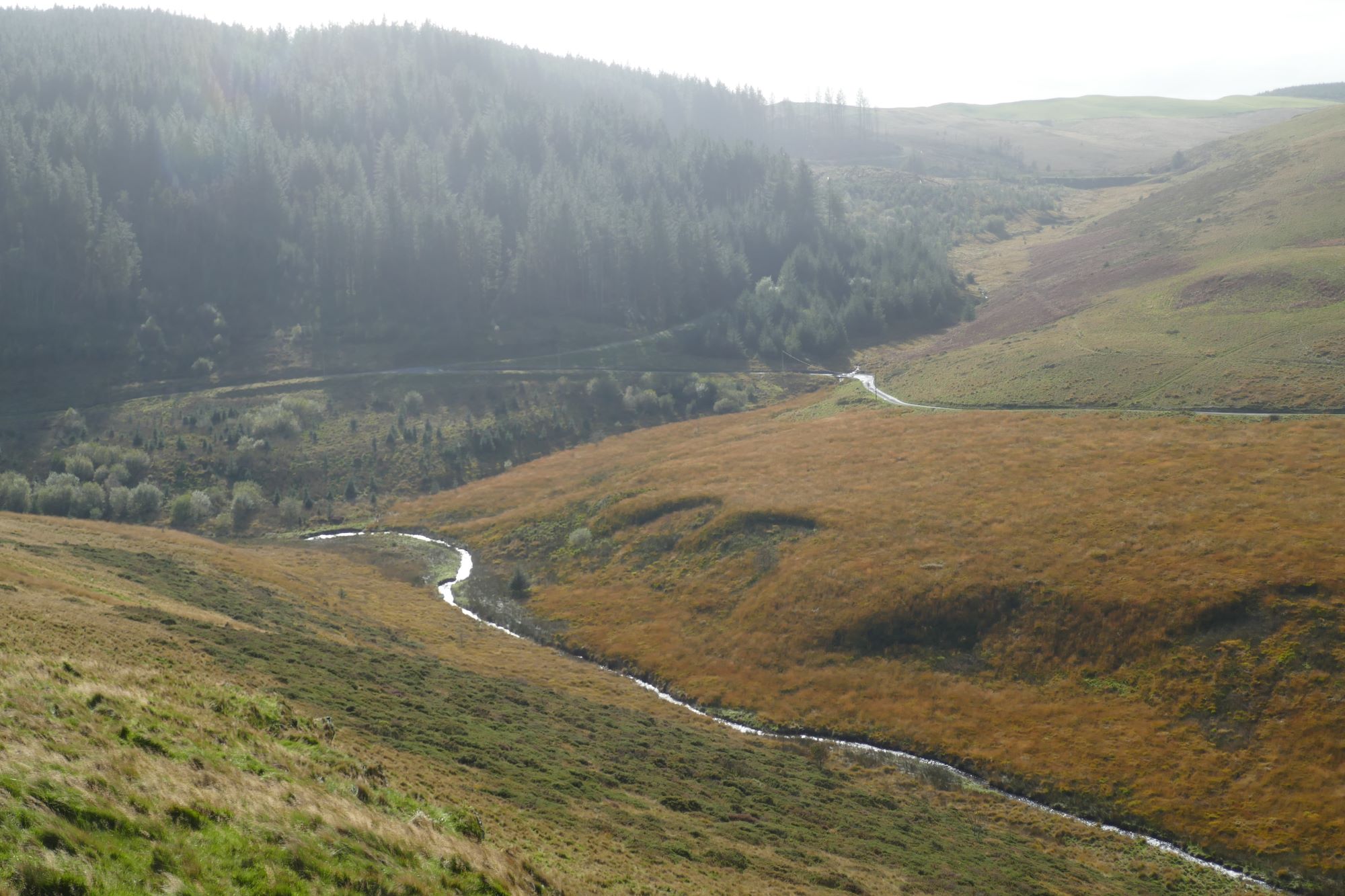
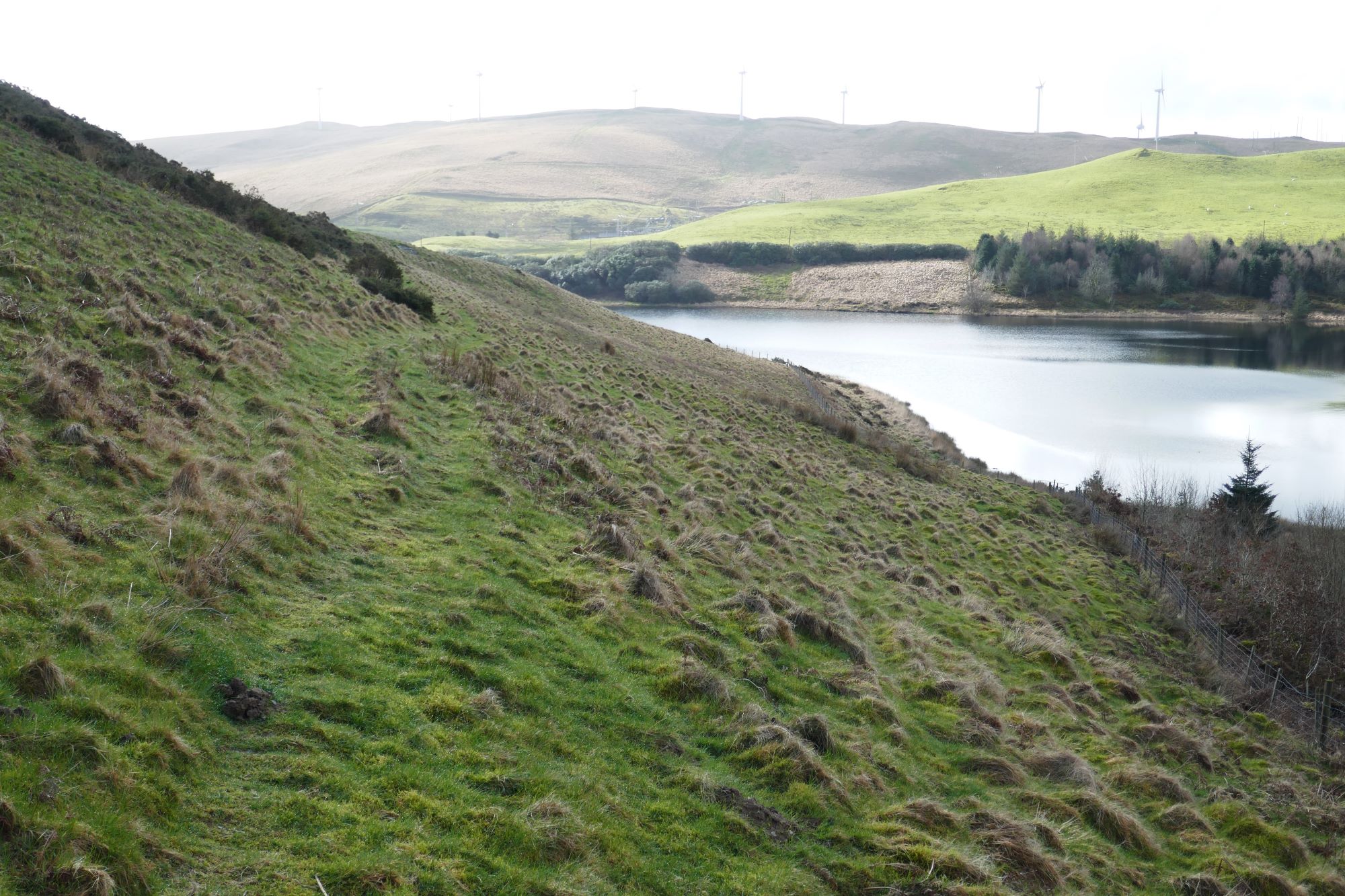
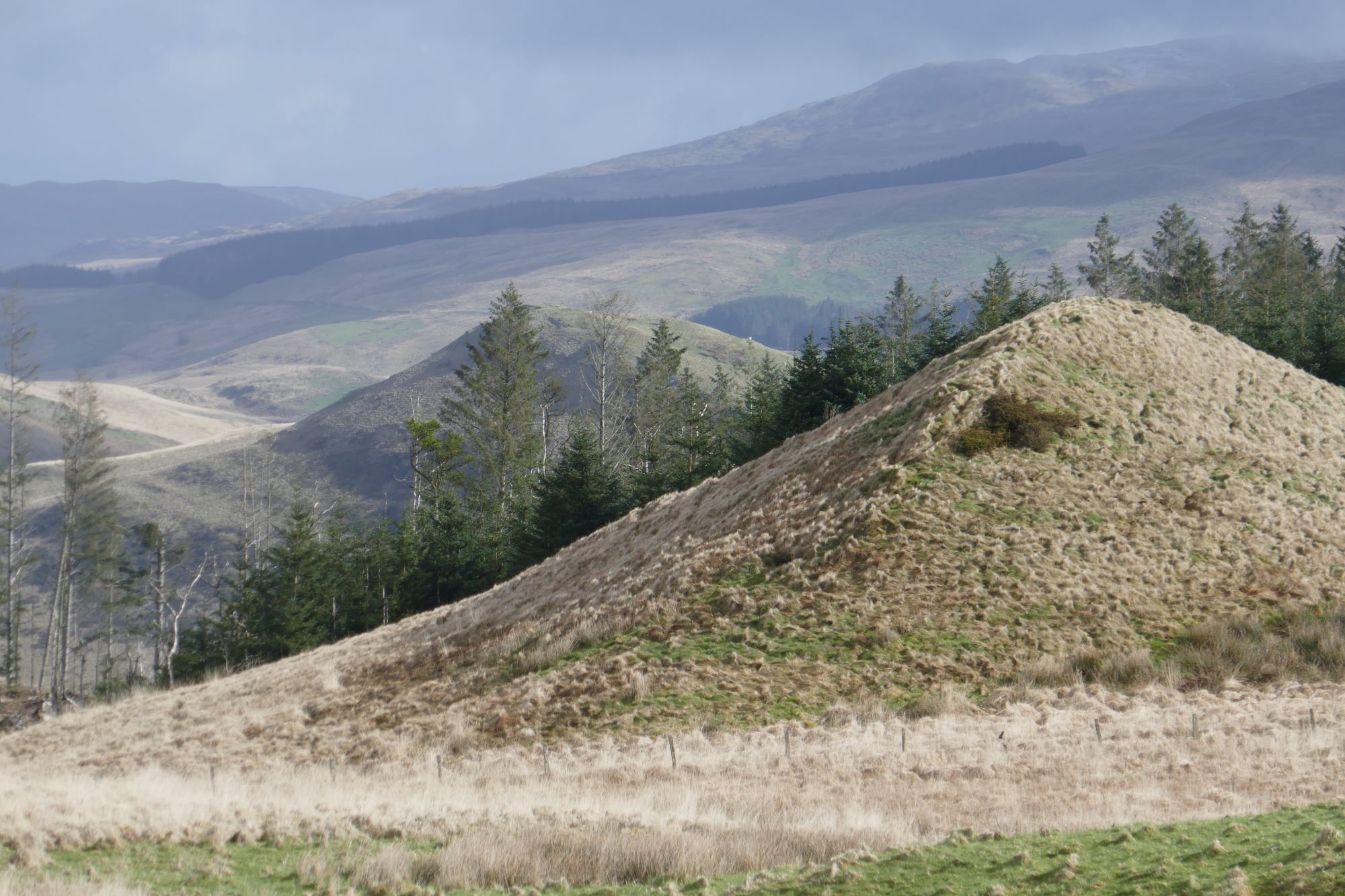
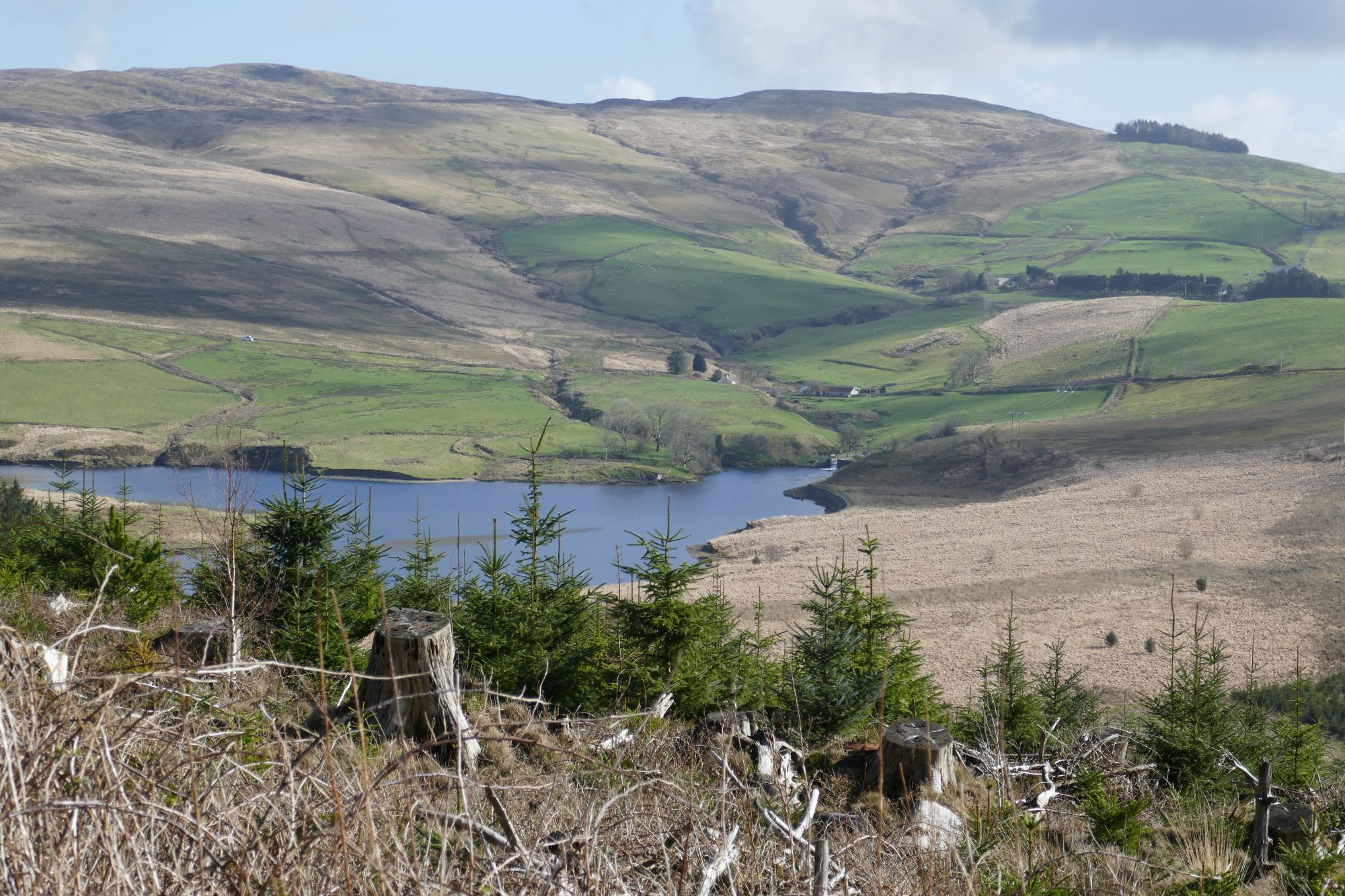
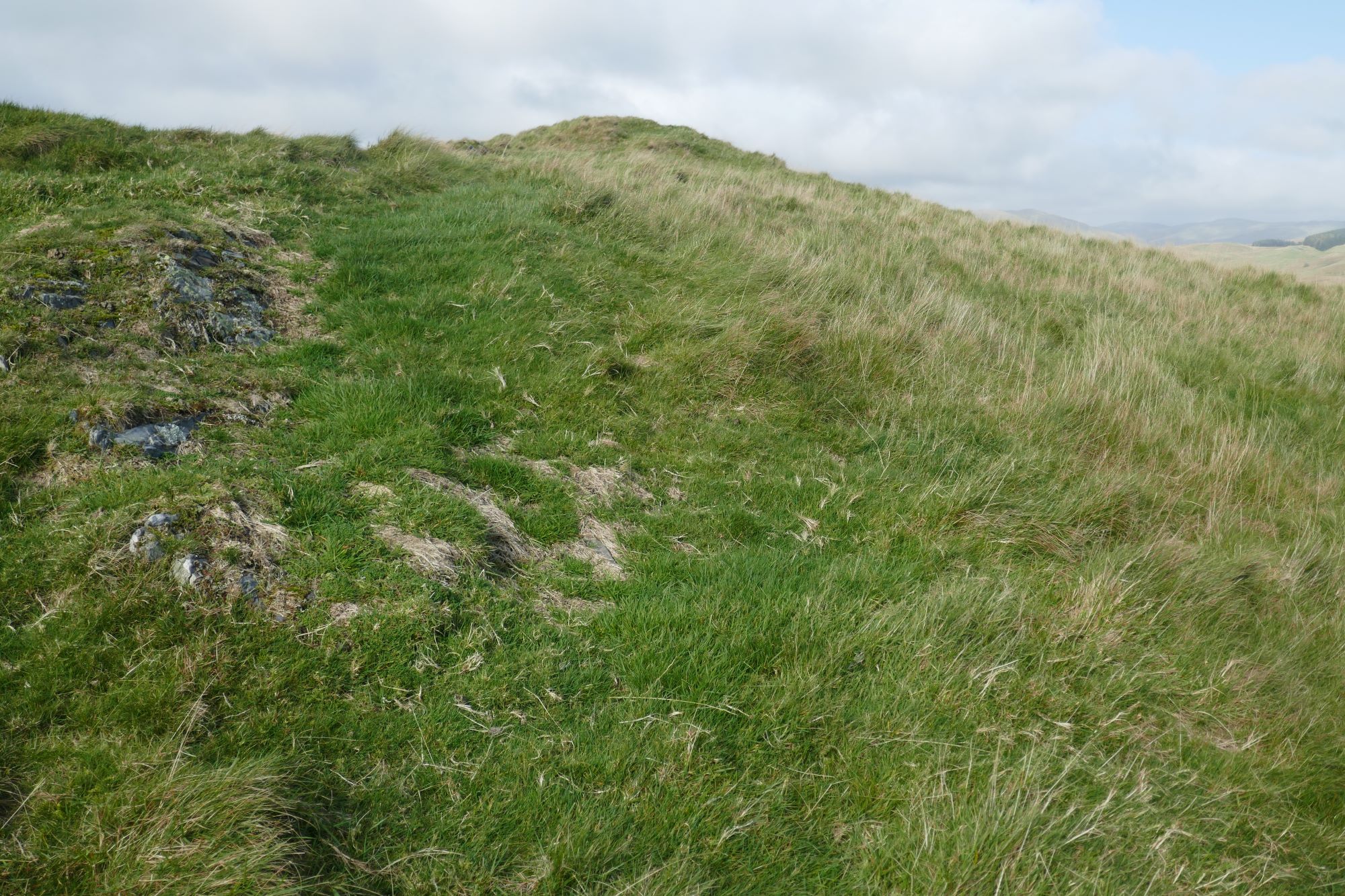
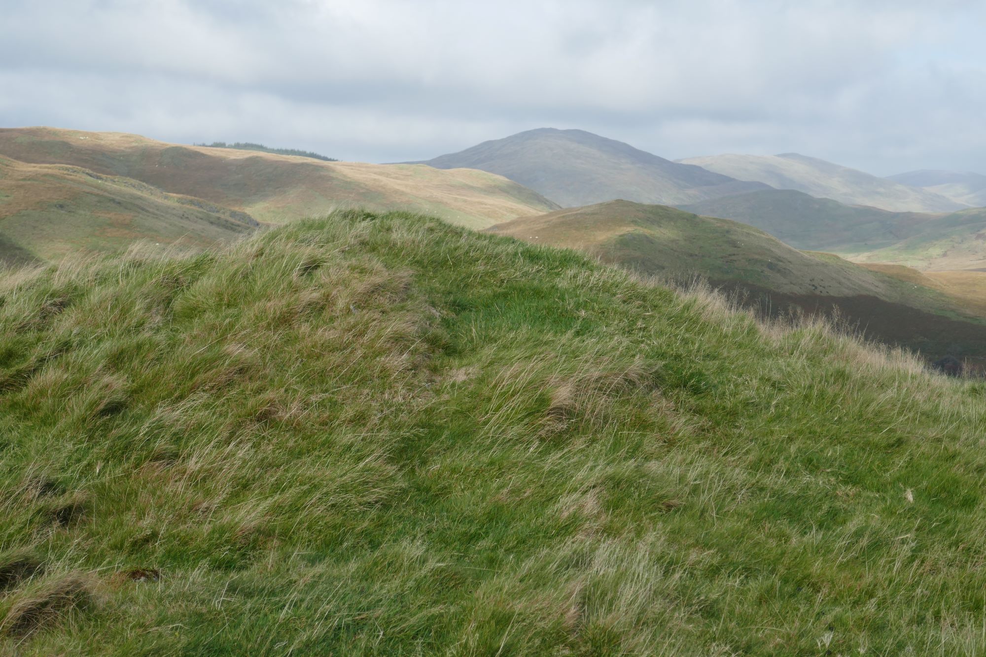
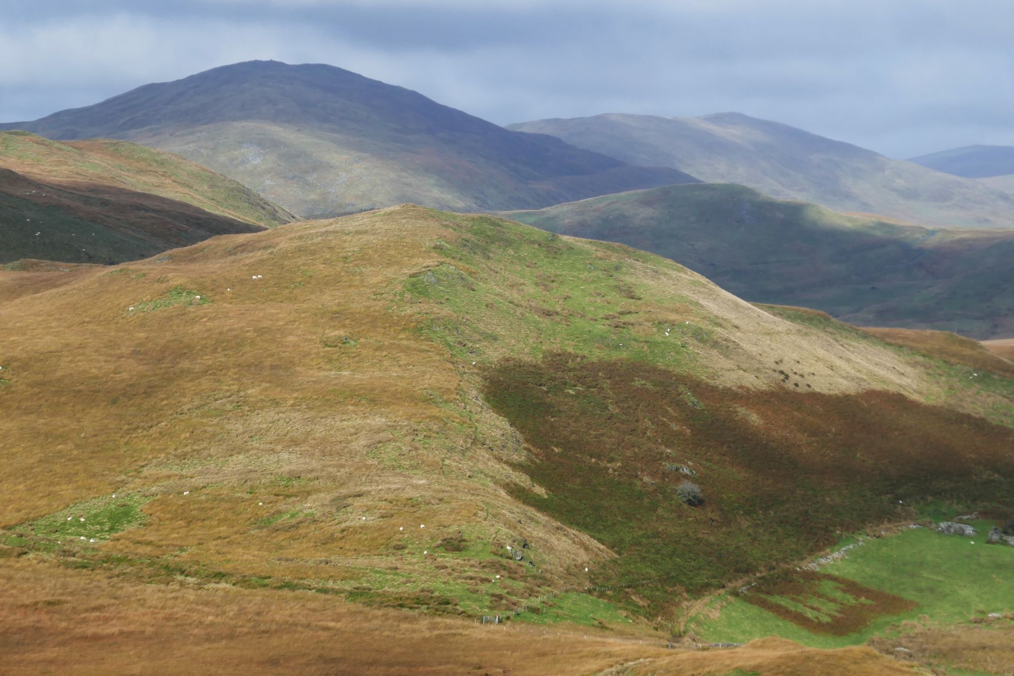
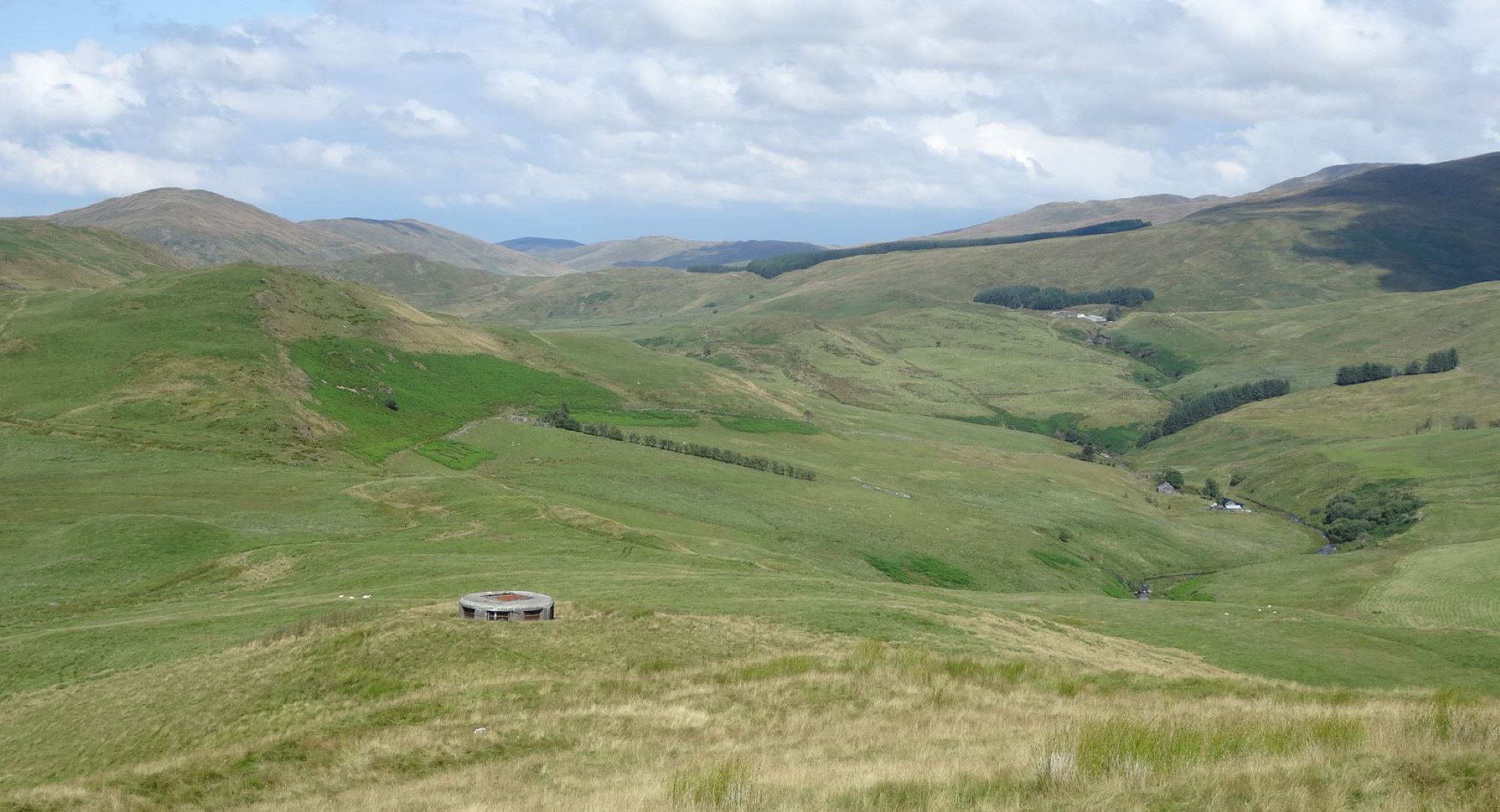
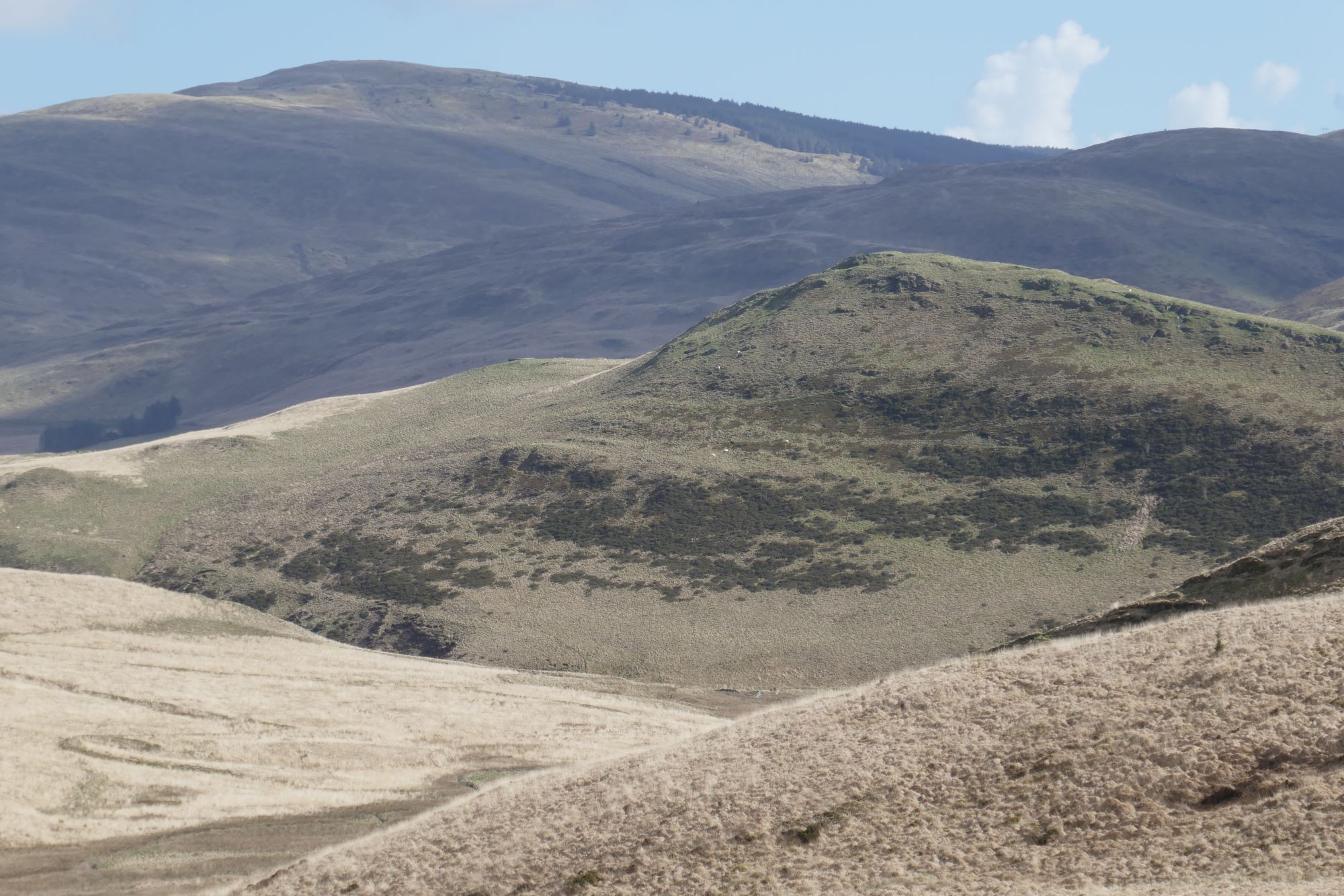
The summit has much eroded and slightly vague ramparts, but a definite highest point, which is a good place for a stop to admire the magnificent view. The nearest high hill is Dysgwylfa Fawr to the left as you ascended, further away and round to the right are Pumlumon Fawr, with the gentle profile of Y Garn to its right. In the full width pic below, the hill in shade is Drosgol, roughly to the north. Llyn Nant y Moch is close, but hidden by the intervening lower hills.
 When ready to descend, continue on a faint path in the roughly northerly direction as before, descending steeply to an unusual landmark, the top of a ‘surge shaft’ for the Nant y moch hydroelectric scheme.

From here, a path descends slightly to the left roughly NNW, with Disgwylfa Fawr in front of you. After a boggy patch, this meets a clear stony track which you need to follow to the left over the upper reaches of Nant Dinas.
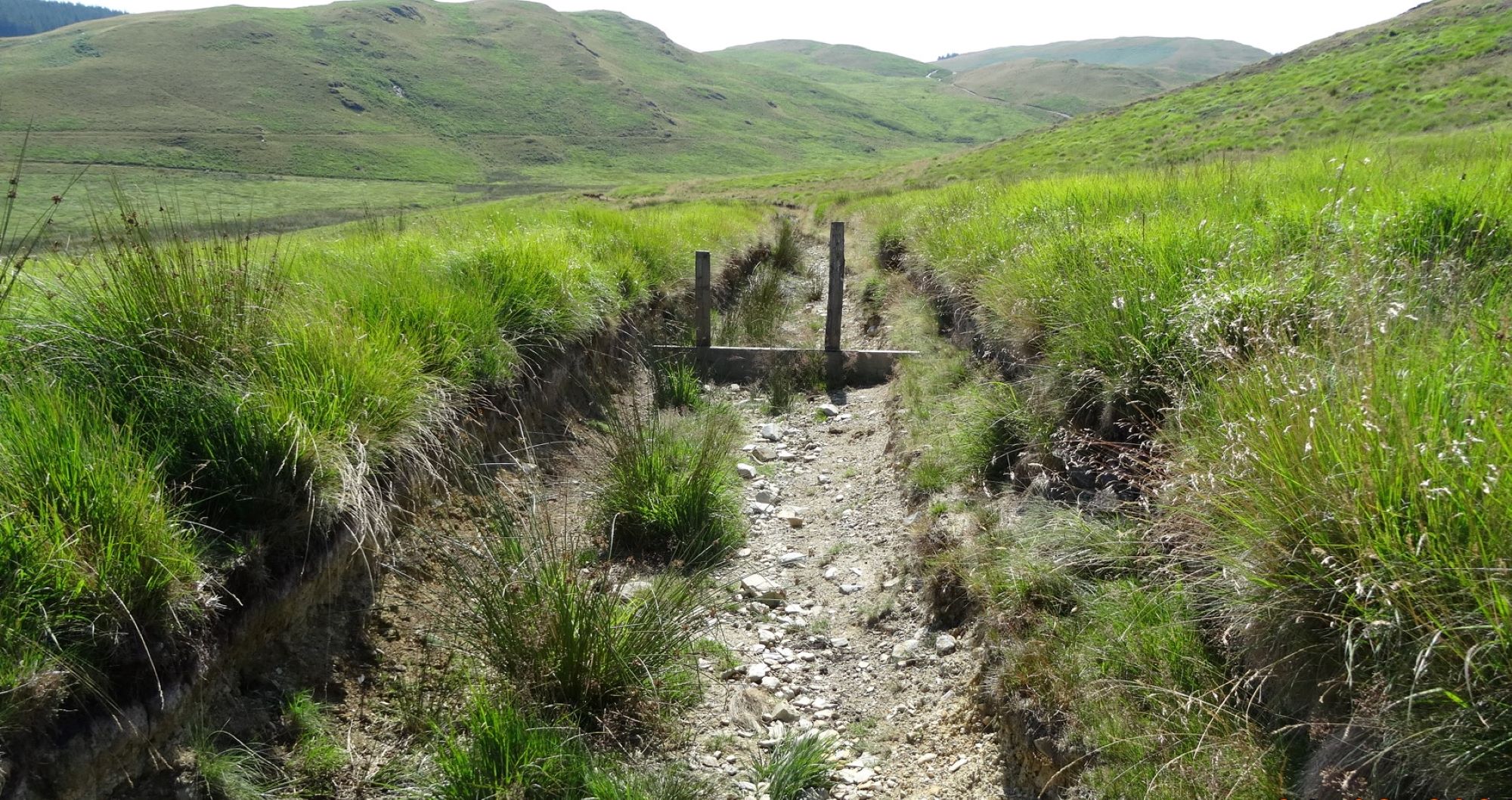
The map shows a ‘Restricted Byway’ (a byway open to all non-motorised traffic) descending the valley side, but this is deeply eroded in a gully and often wet and always hard work (see left-hand pic below). An alternative parallel track 10 m or so to its right may be a better option, accessed by walking a little way up the path coming down from Dysgwylfa Fach. Whichever you choose, you will arrive at the ‘ford’ crossing Nant Glan-dwr close to the tarmac lane (see right-hand pic below).
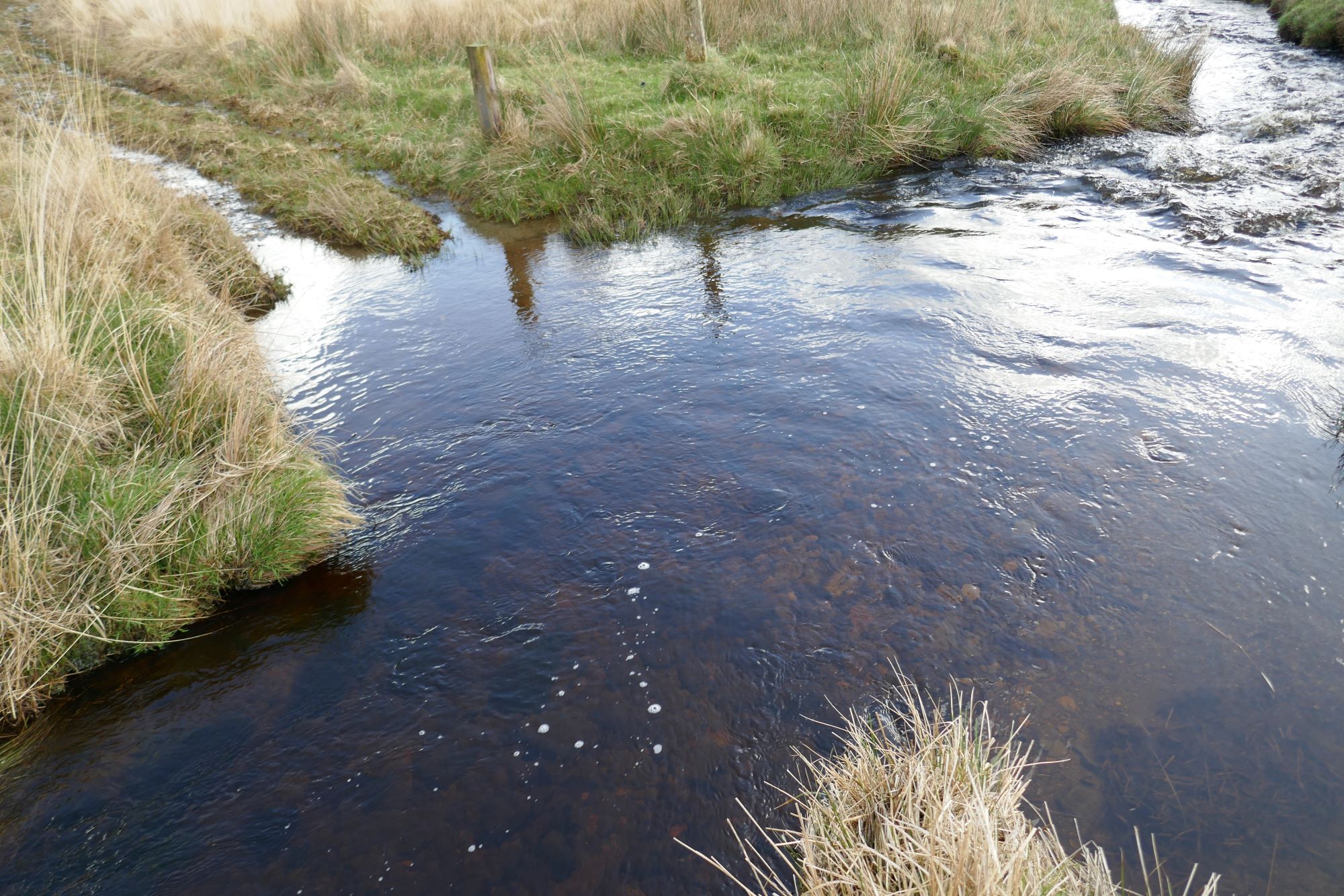
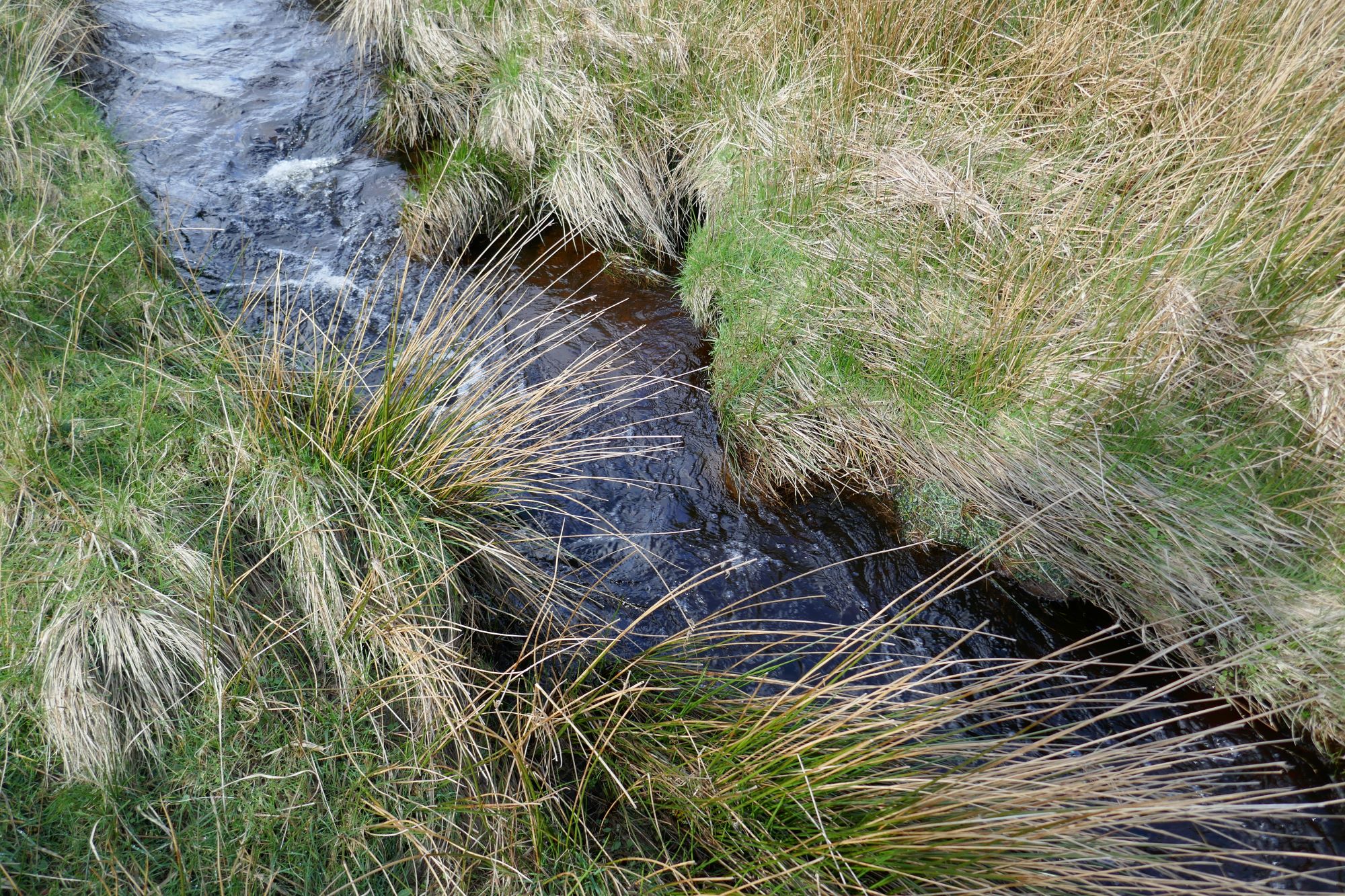
At almost any time of year, the ford will look daunting to cross, but if you don't want to wade, the stream is narrow and fairly easy to jump across about 10-20 m upstream of the ford (see left-hand pic below). Once across, a very short boggy stretch of track gets you onto the tarmac lane again. Almost immediately a stoney track branches off it to the left, which you should take.
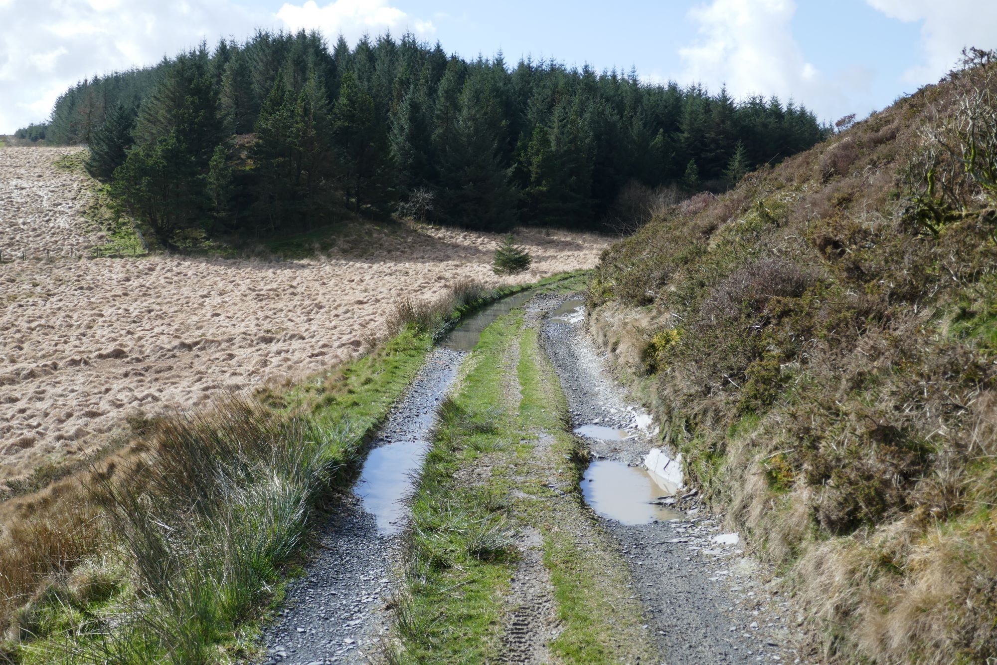
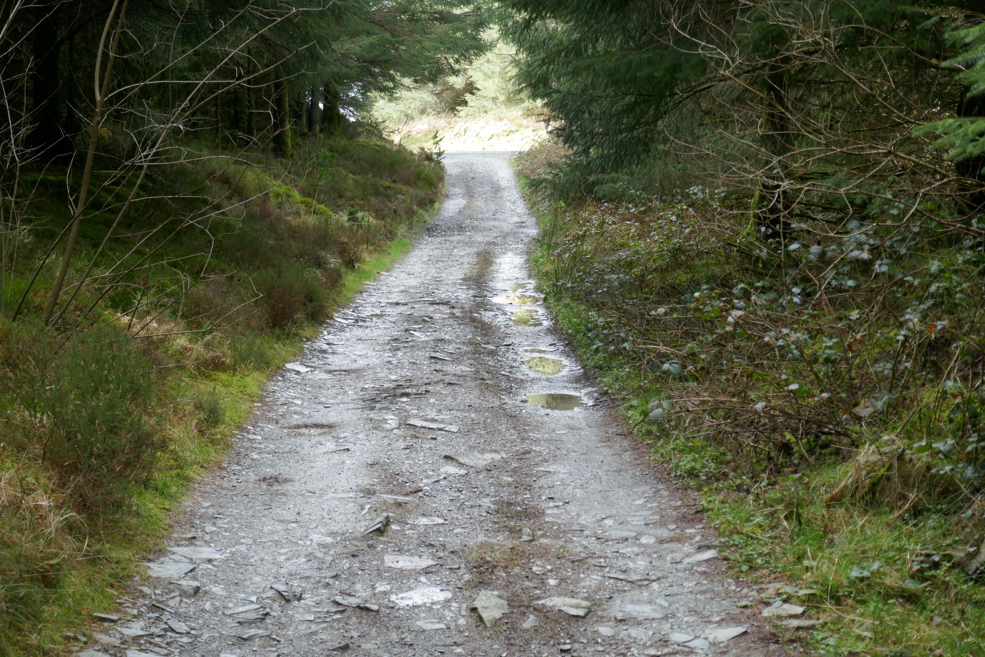
This is a rubbly track, a ‘byway open to all traffic’, where you are allowed to drive your car, if you wanted to destroy it. Even trail bikes find this stretch a challenge, as it is rocky and ascends steeply for a while before easing gradually. The excellent views back make the effort of walking up here worthwhile, and eventually it actually becomes quite pleasant underfoot, bar a few areas of standing water. In the pic below left, Y Garn dwarfs Dinas hillfort, where we have just been.
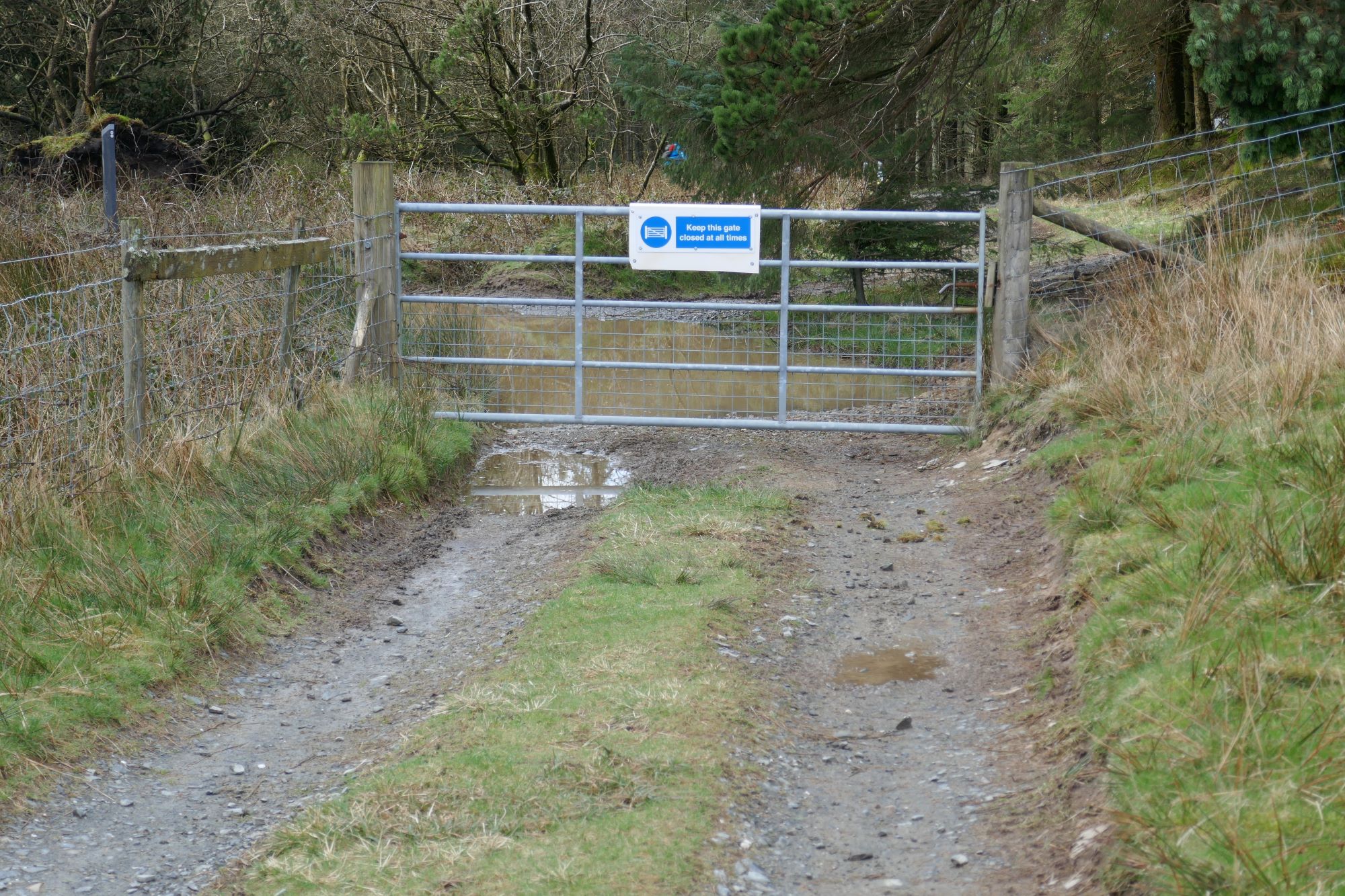
After about 1.5 km from the ford at Point 10, you pass through a gate into forest which is part of the NRW Nant yr Arian area. Here, go left on the track, briefly uphill, then descending in the direction of the Visitor Centre.
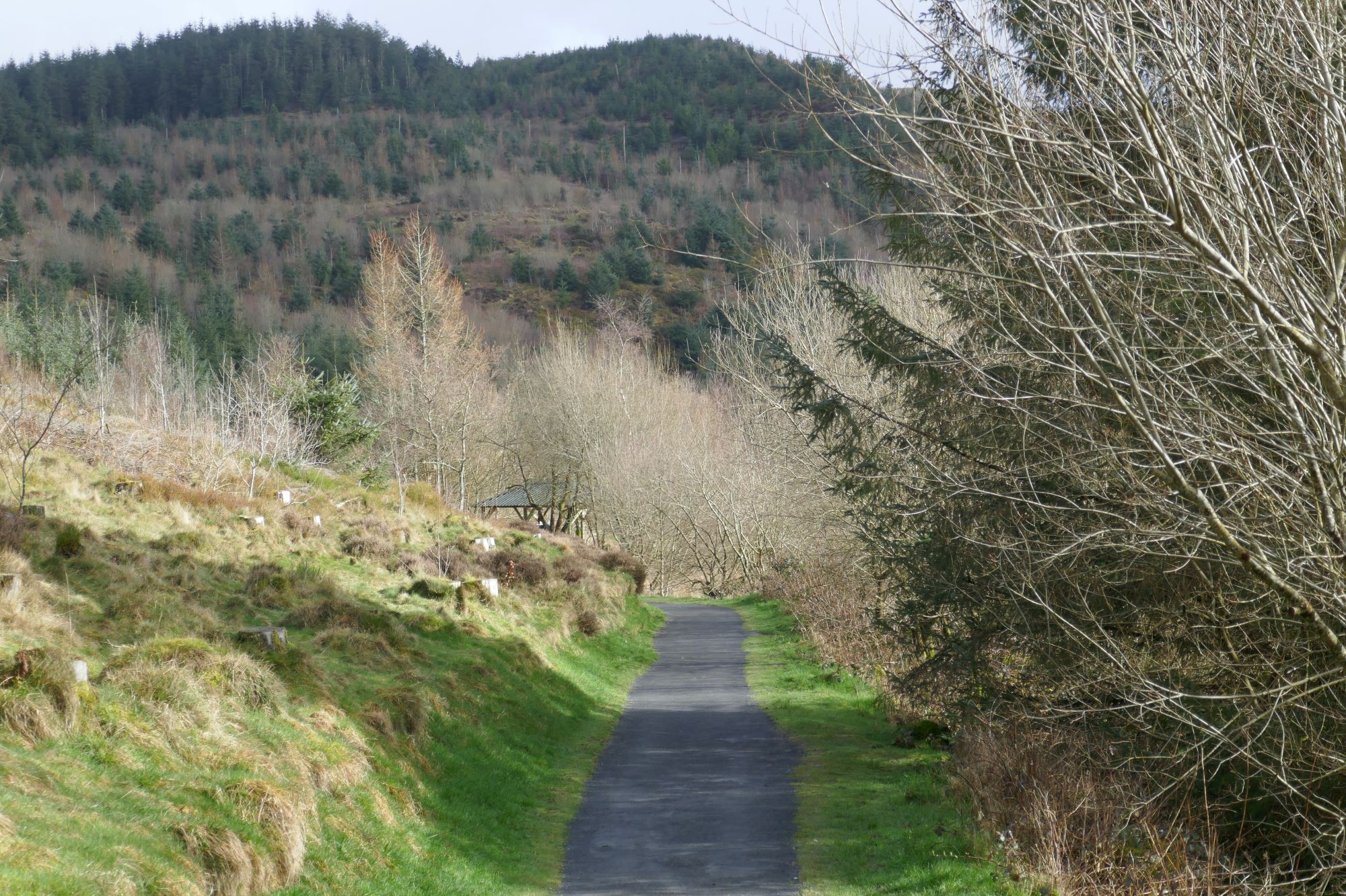
A path off to the left leads back to the lake from the start of the walk, or alternatively just follow the main track back to the starting point.

Comments (0)