


Being relatively close to town and with easy access, this is quite a favourite of ours. It contains a great contrast of features, including a slightly vertiginous narrow gorge path overlooking the ‘pistyll’ (sliding waterfall). In the later stages, there is a sense of remoteness, with two beautiful lakes, and a long but relaxing amble back to the starting point…. Unlike most other walks on this site, there is no hill summit to achieve, and no walking ‘off-piste’…There is an easy to follow footpath or track throughout.
(opens in new tab):
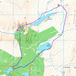
of starting point :
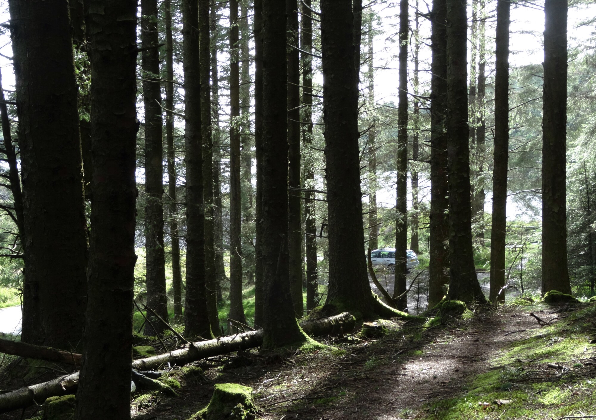
The starting point is about 14 km (9 miles) from Aberystwyth. Follow signs to Penrhyn-coch village from the A487 (north) then signed to Pendam and Ponterwyd. Llyn Pendam is the first of a cluster of small lakes that appears. The starting point is a small car park amongst the trees on the left, immediately after a t-junction with a road signposted to Ponterwyd.
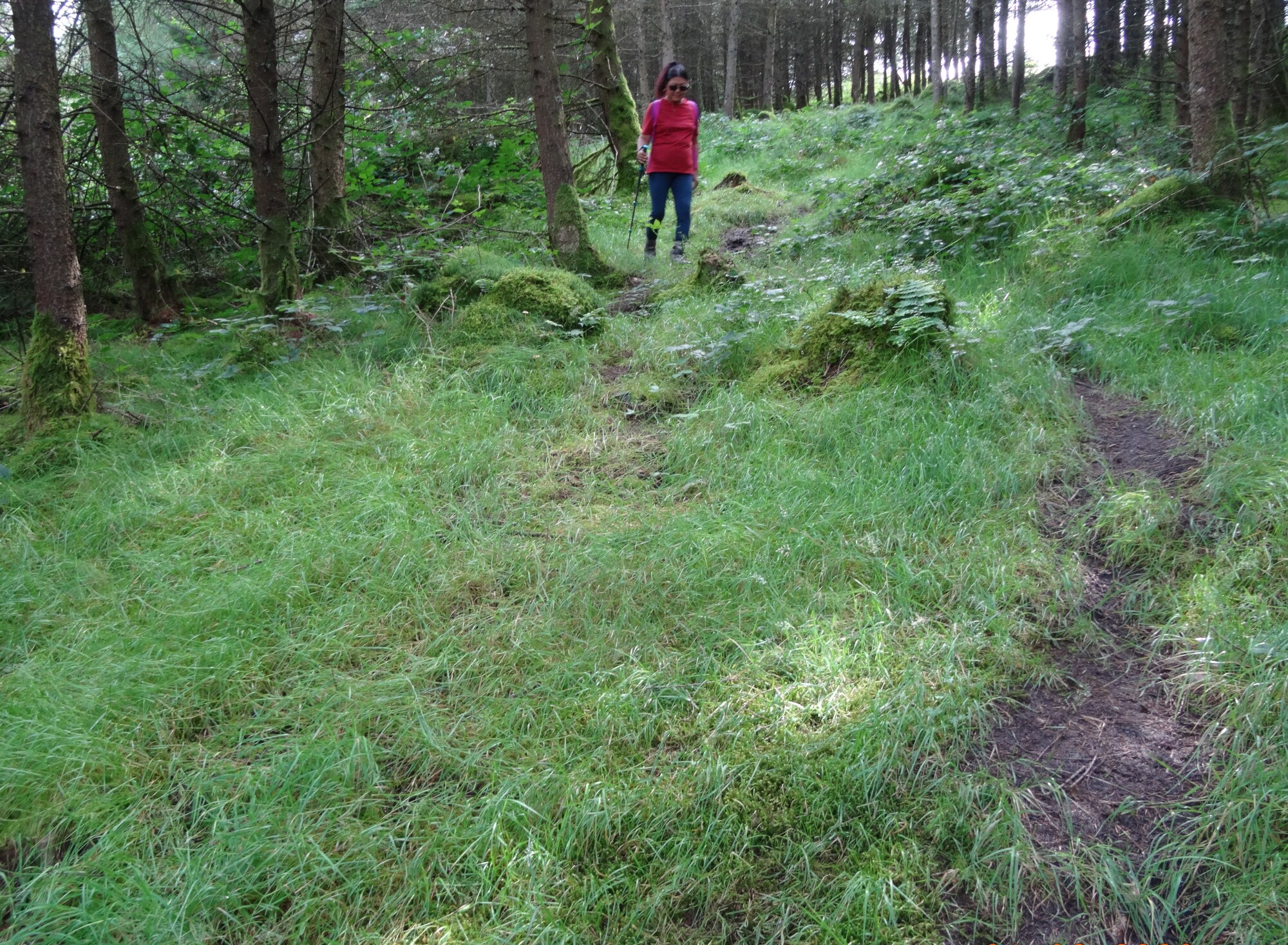
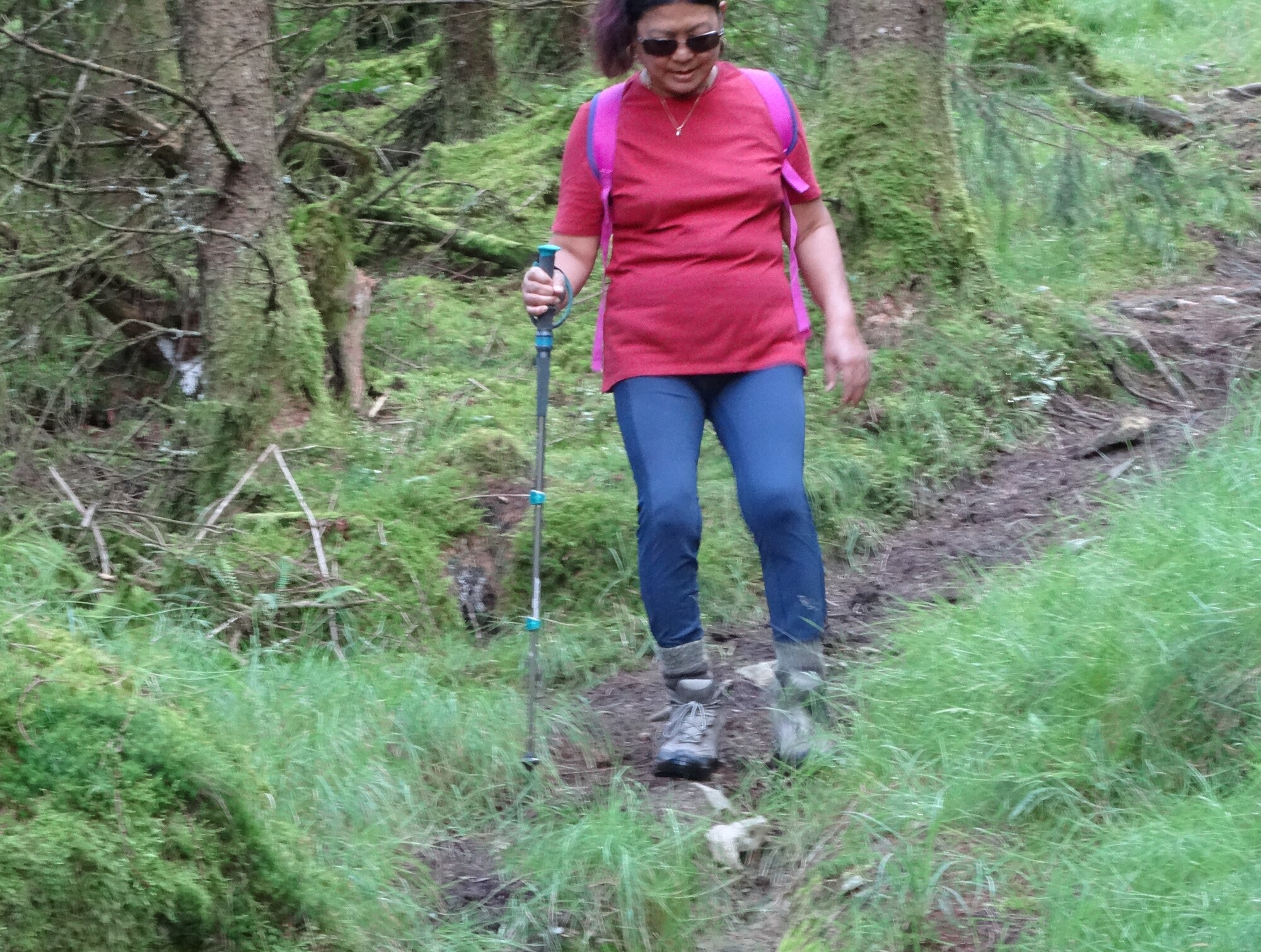
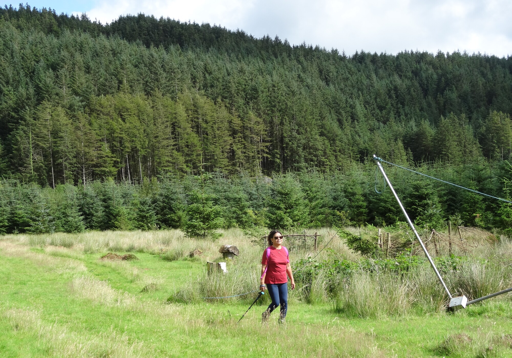
There are numerous mountain biking trails in this forest, so it is important to find the footpath rather than following one of those. Go up the bank at the north-west end of the car park, avoiding the more obvious biking trails over the other side... look for the footpath sign.
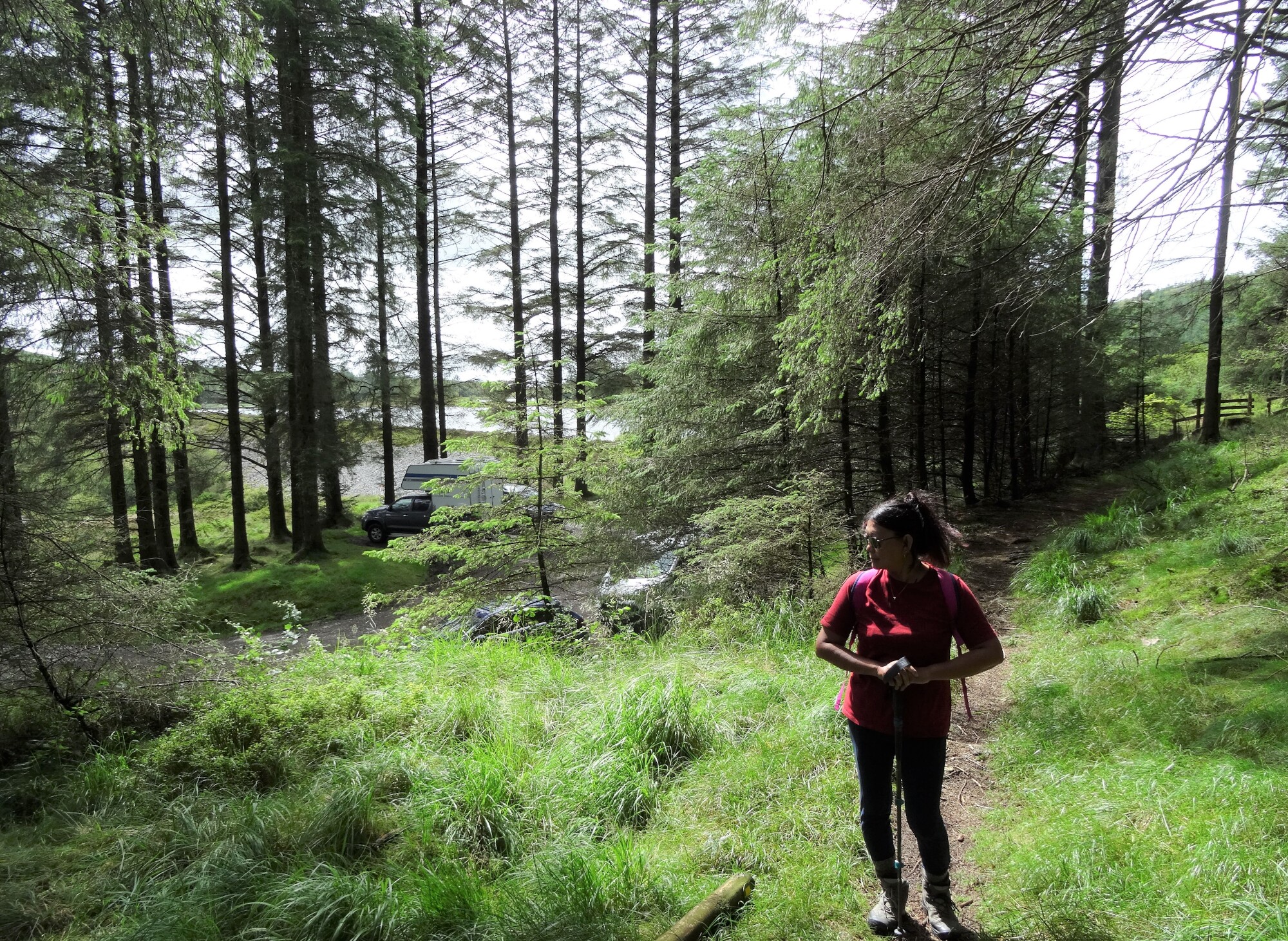
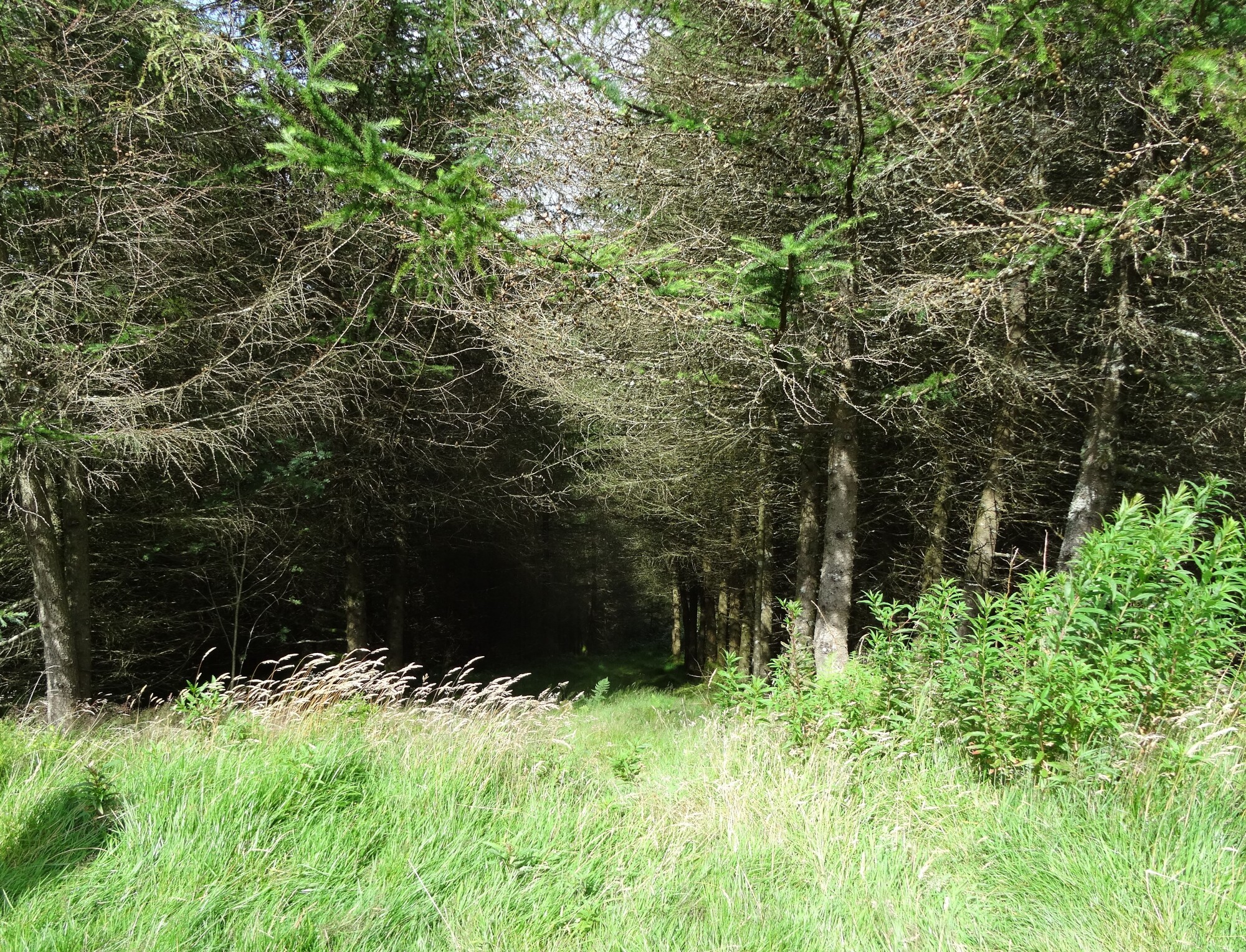
The waymarked footpath climbs diagonally between the trees, with glimpses here and there towards Llyn Blaenmelindwr, but the views on the first half of the walk depend on the cycle of cutting and planting of the fast-growing conifers. The attractive path leads northeastwards for 500m, and then drops down to join the broad stony track used by cyclists to get to the same point.
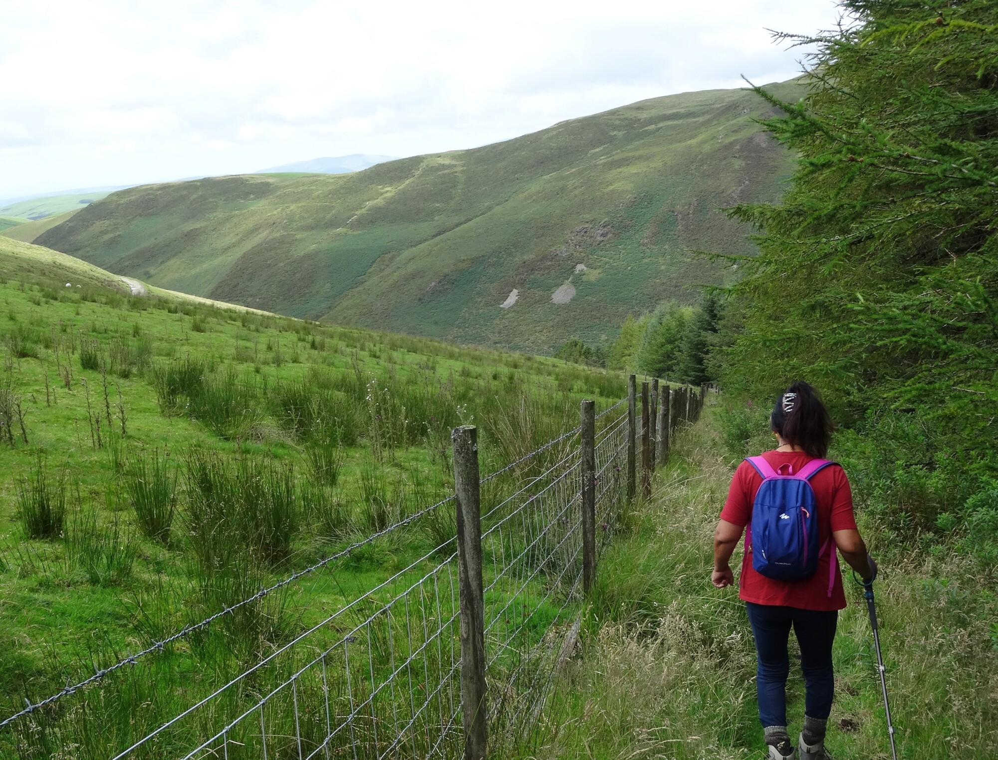
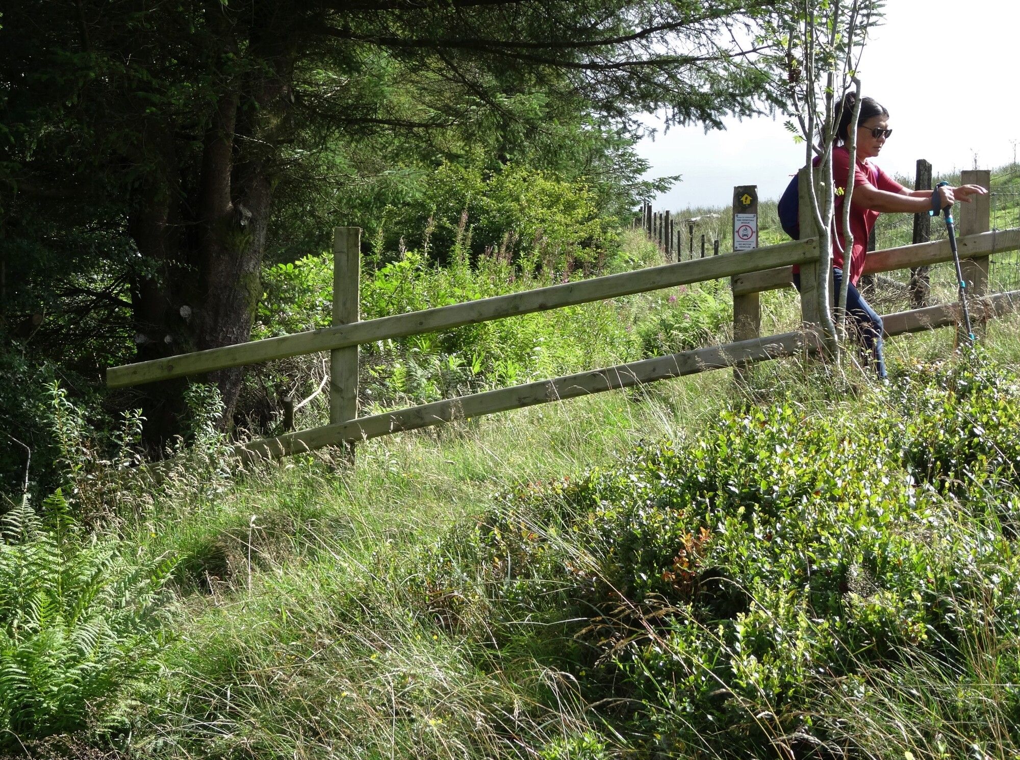
Here, bear left off the track immediately to pick up a footpath running north along the edge of the forest with open hillside to the left. The start of this path is wide and wet, but it rapidly becomes narrow alongside the fence, eventually descending, with views of the sea and parts of the Lleyn Peninsular appearing over to the left.
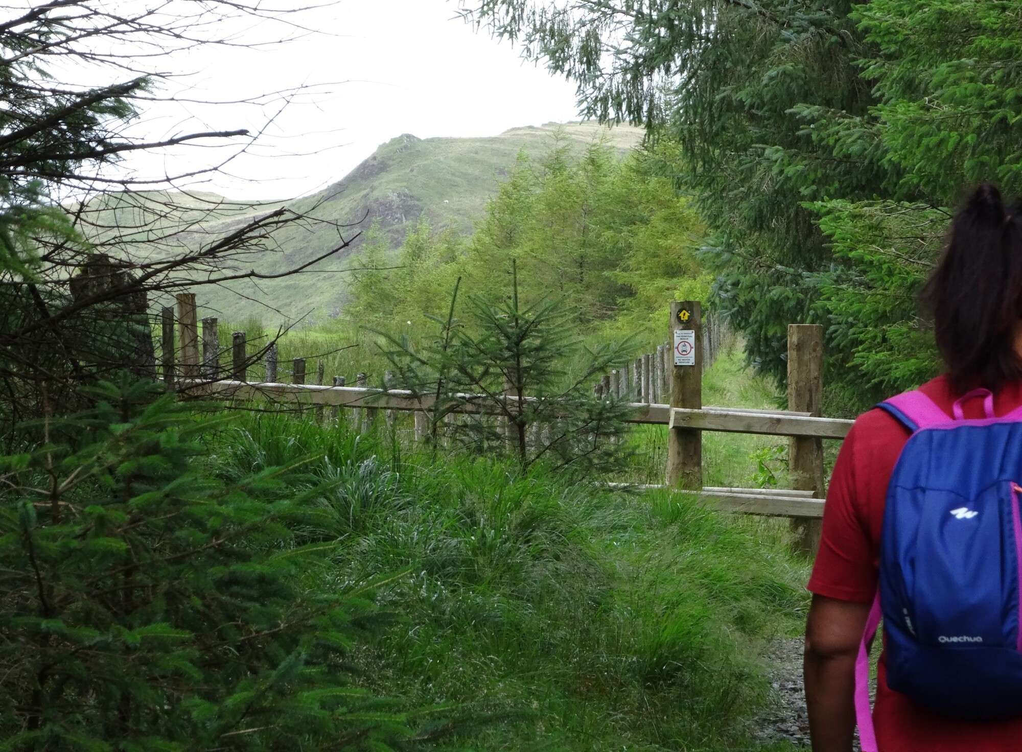
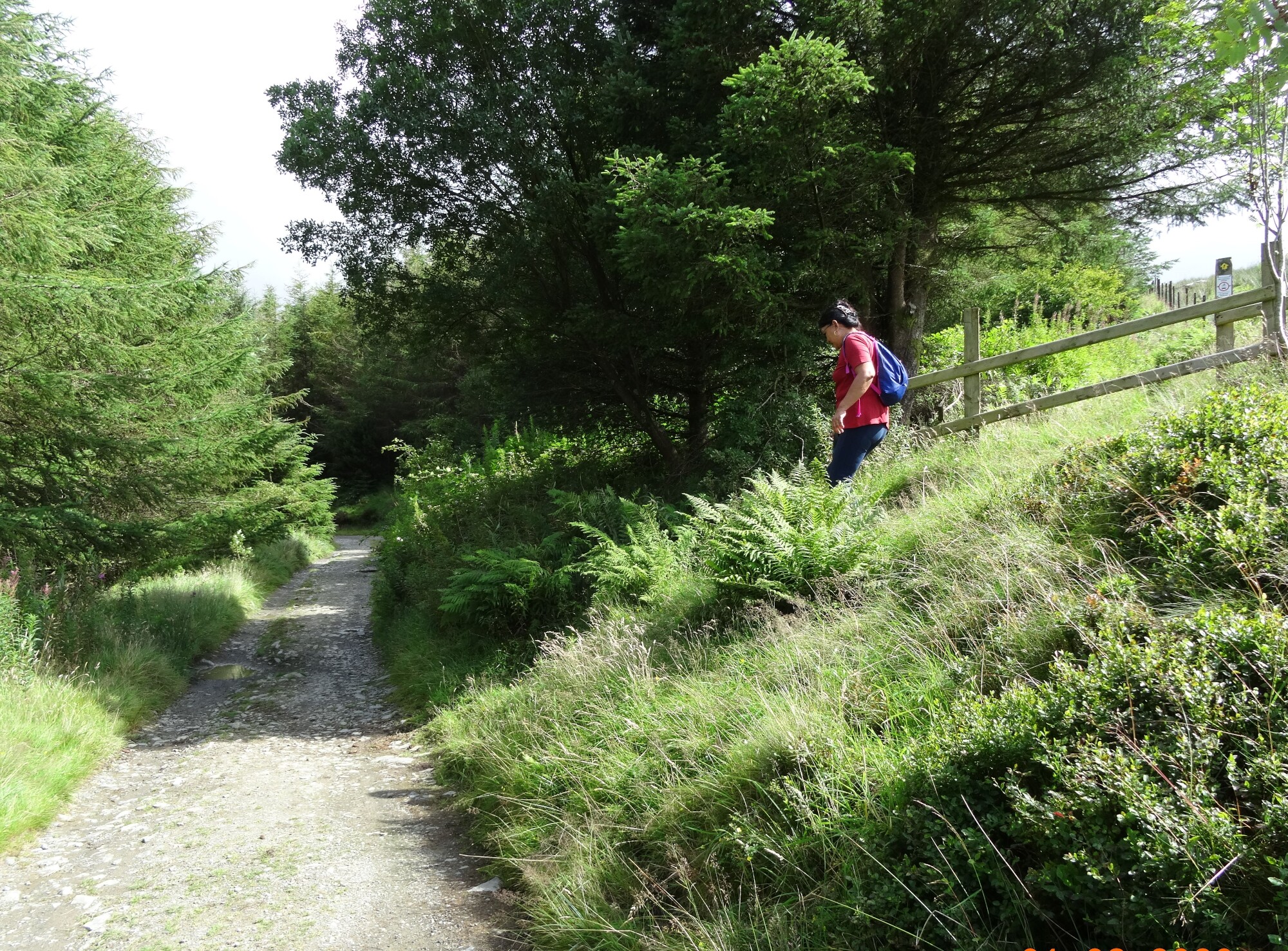
The timber barriers installed here (by Ceredigion County Council) are to prevent motorised trail bikes churning up the path as they used to. The path drops sharply down to another track, which we cross straight over and continue our descent steeply through forest.
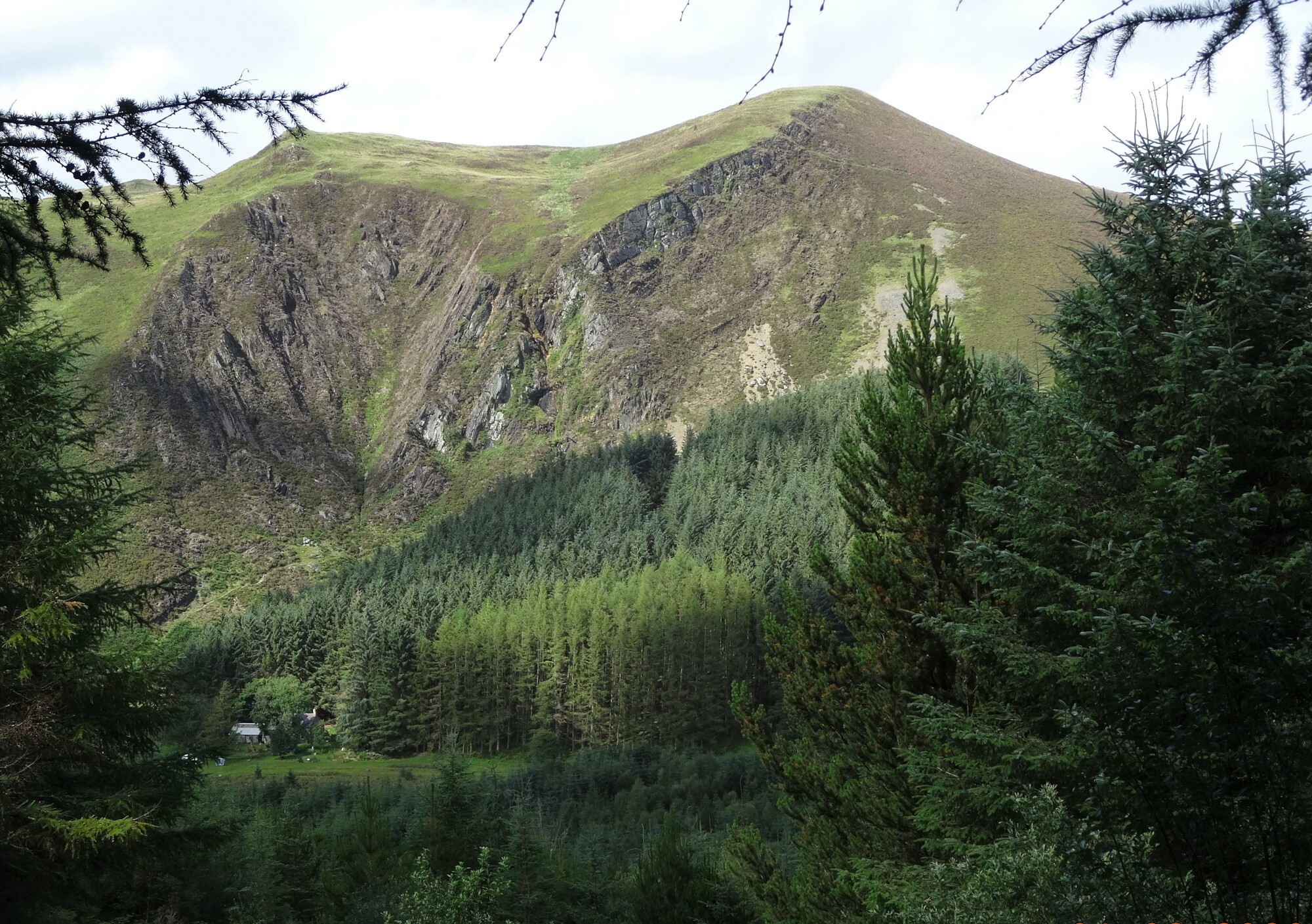
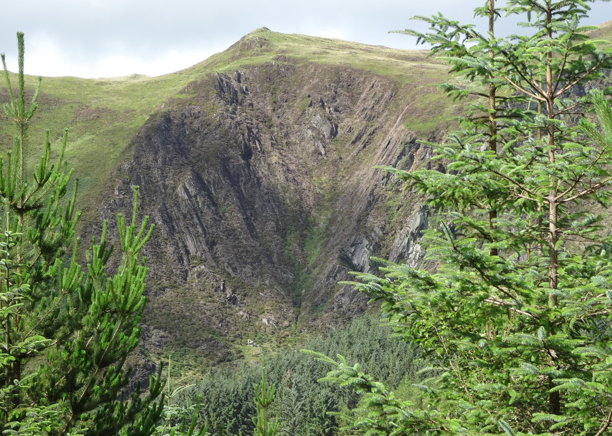
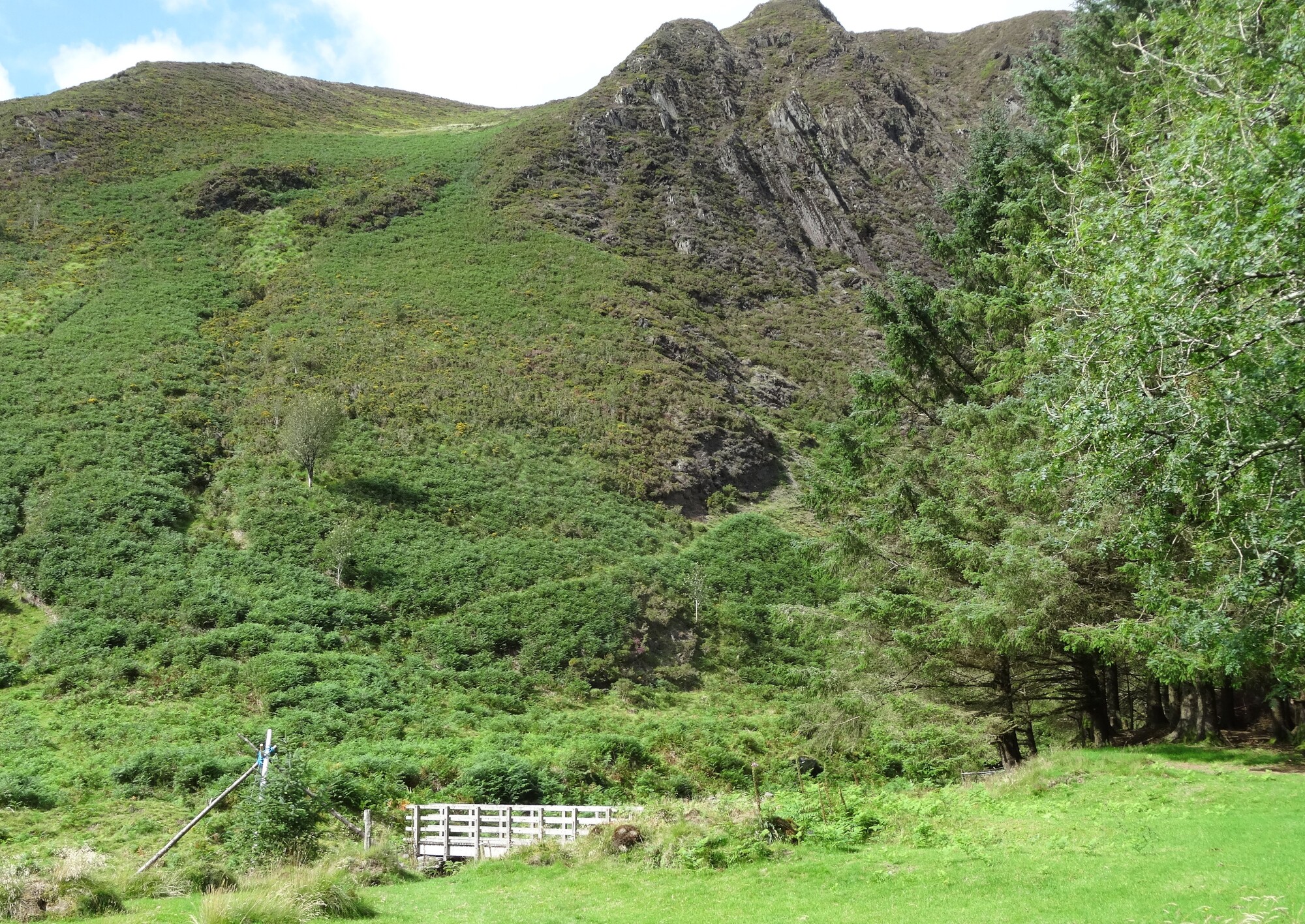
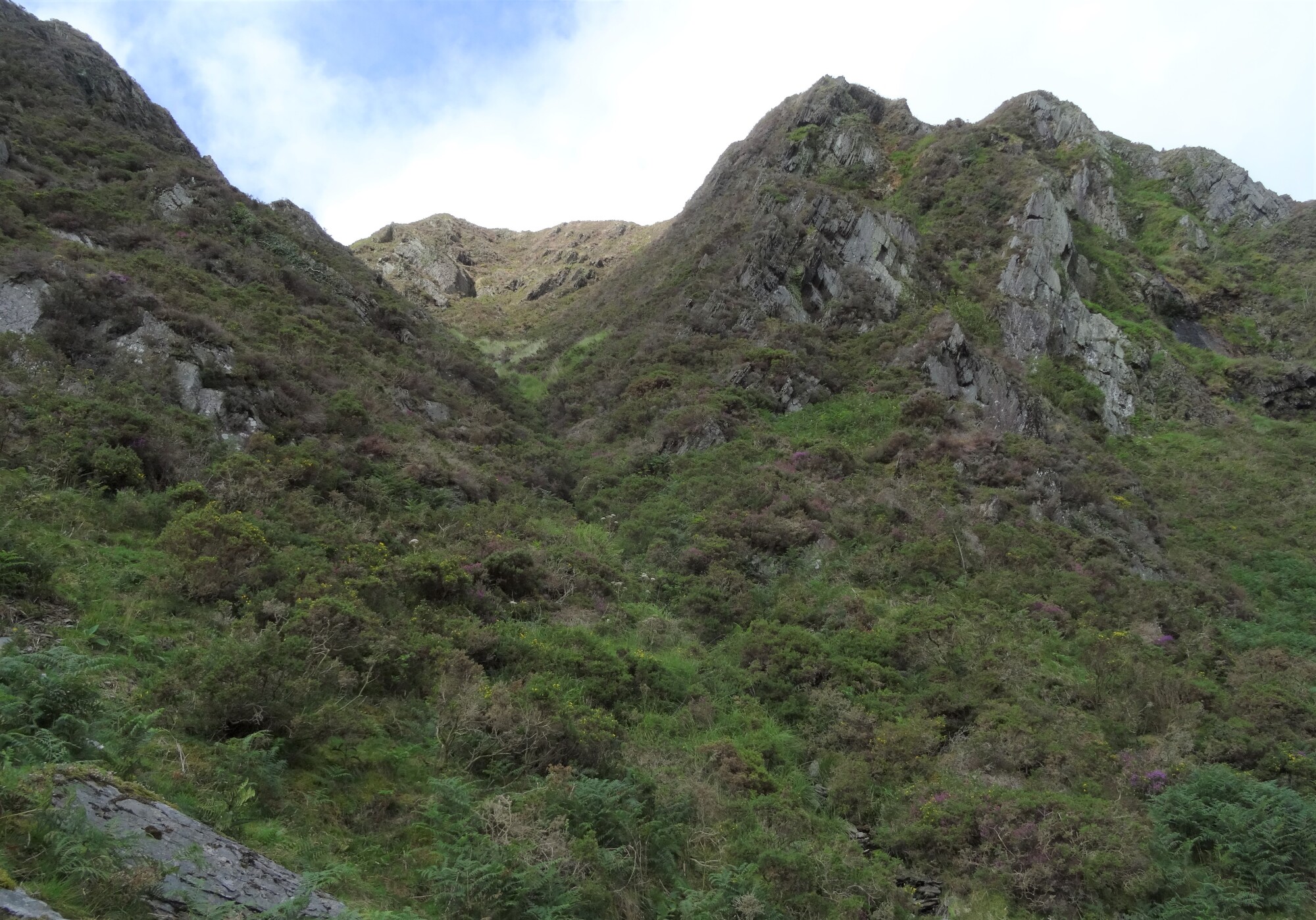
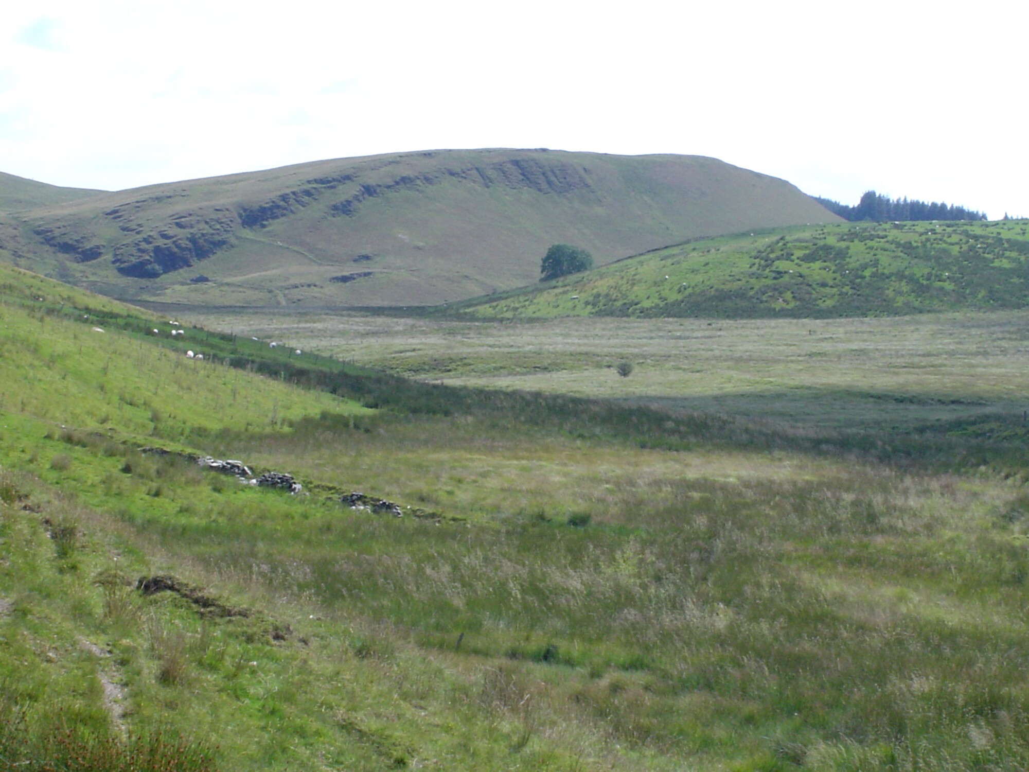
Following the yellow arrow waymarks down through the forest, the path is very slippery in places, but gradually emerging is the view ahead: the rugged south side of Pen Craig y Pistyll/Esgair Goch (455m), a real ‘miniature mountain’ whose smoothly curved plunging profile is easily seen from the whole Aberystwyth area.
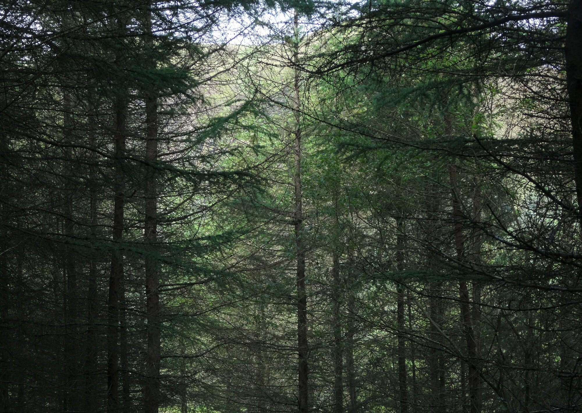
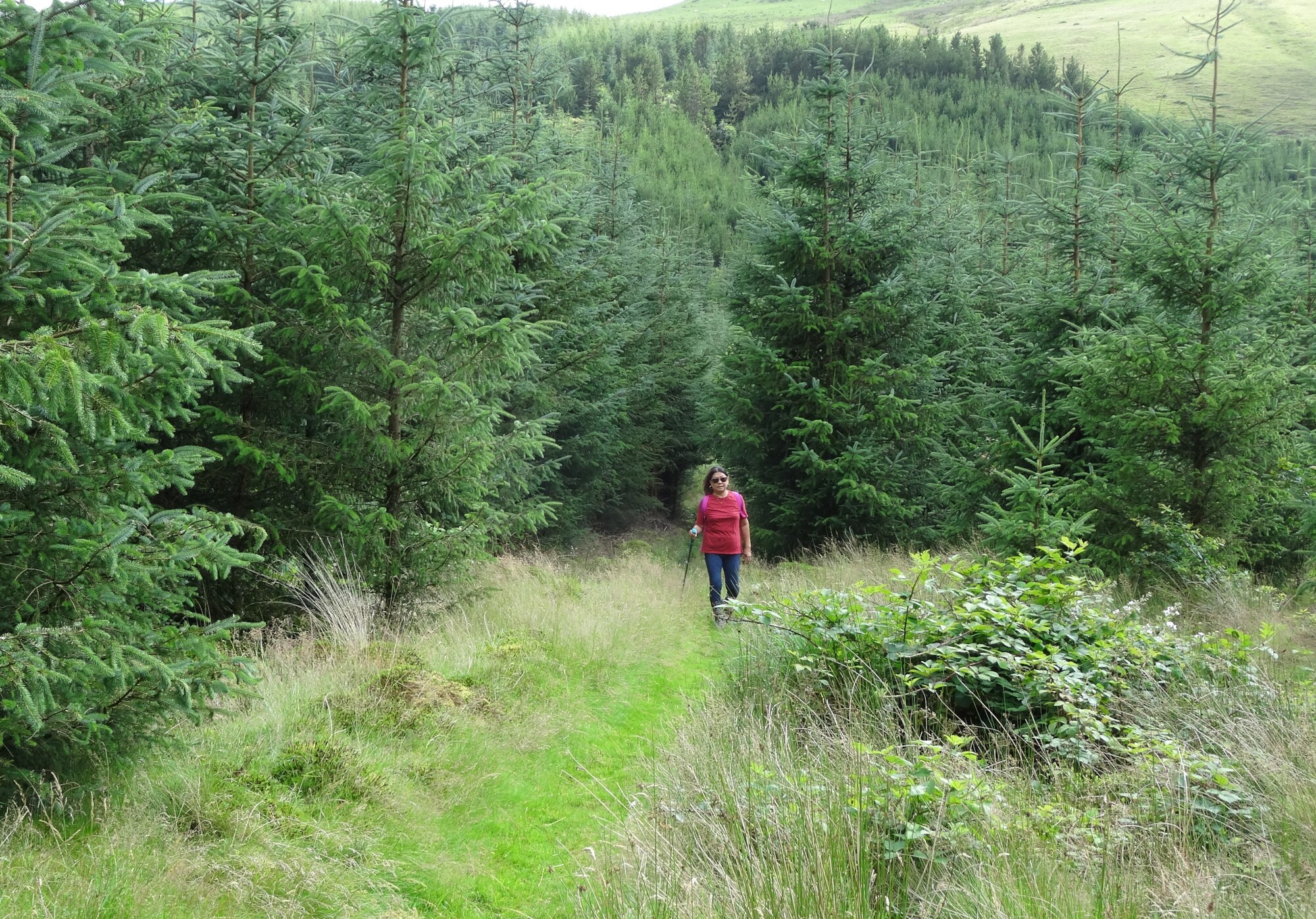
What you will see around you as you descend very much depends on the stage of growth of the fast-growing trees.
Pass a much-ruined building amongst the trees on your right, and then the steep descent levels out onto the flat valley floor. Cross a sturdy footbridge over a small stream, following the path and waymarks carefully. Keep going to where the plantation ends at a grassy firebreak in front of the mature forest ahead.
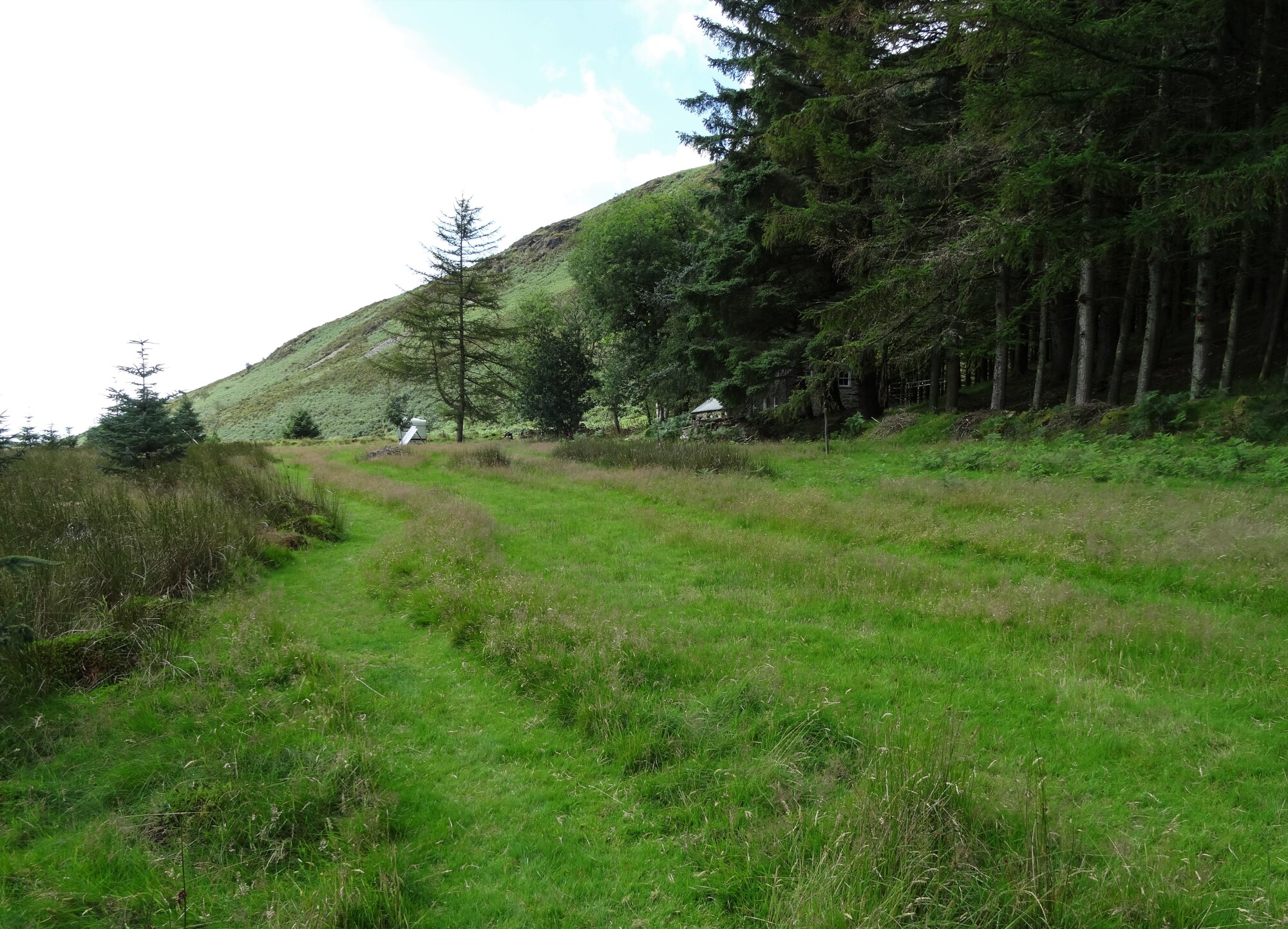
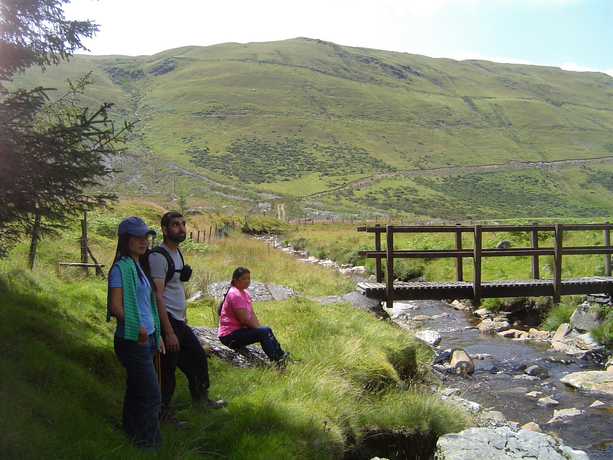
Here the path turns left towards a small isolated cottage at Llawr y Cwm Awr. Follow the path to avoid going too close to the cottage, heading towards a very substantial timber footbridge across a rushing mountain stream. This is the upper reach of the Afon Leri, which flows via Tal-y-bont into the Dyfi estuary at Ynys-las.
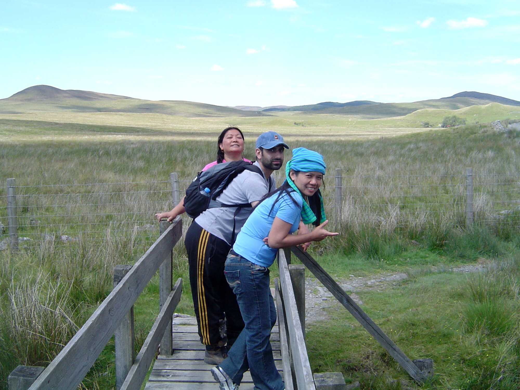
The footbridge makes a very good first stopping point. From here notice above and to your left the clearly defined but narrow footpath which ascends diagonally overlooking the Leri gorge on the steep flanks of the mountain.
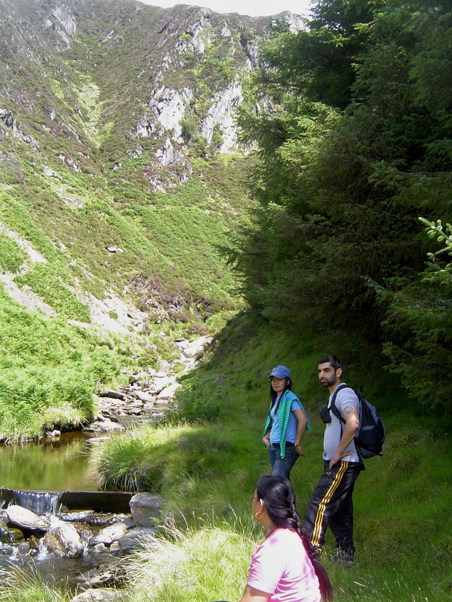
It looks formidable and risky, but with a little care can be walked easily, and we must first attain its bottom end by struggling uphill over small ridges in the ground, bearing slightly right until we hit the obvious path.
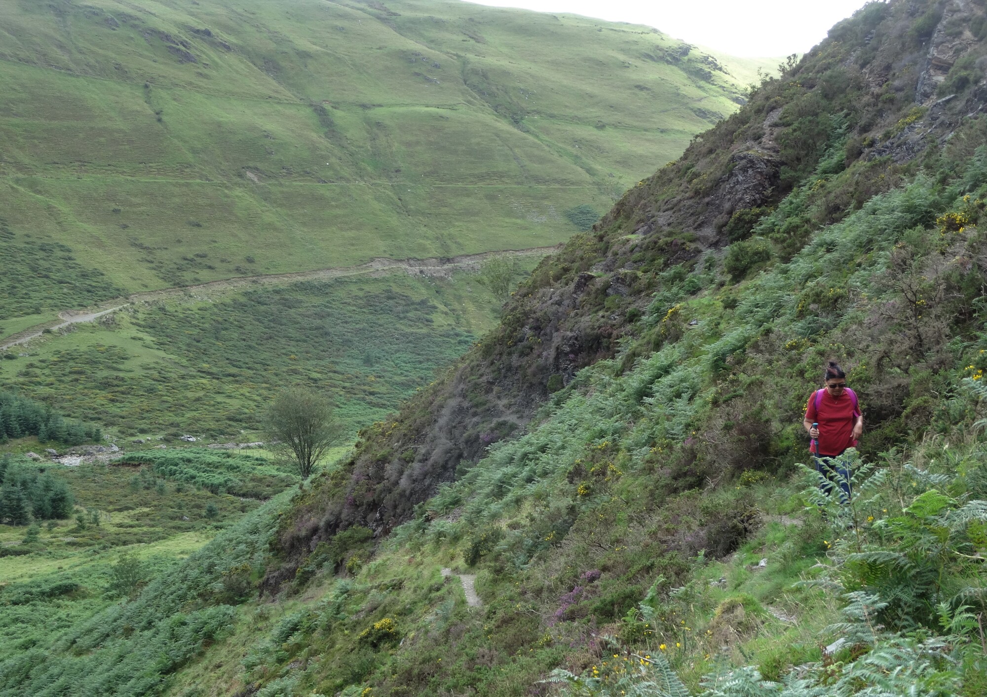
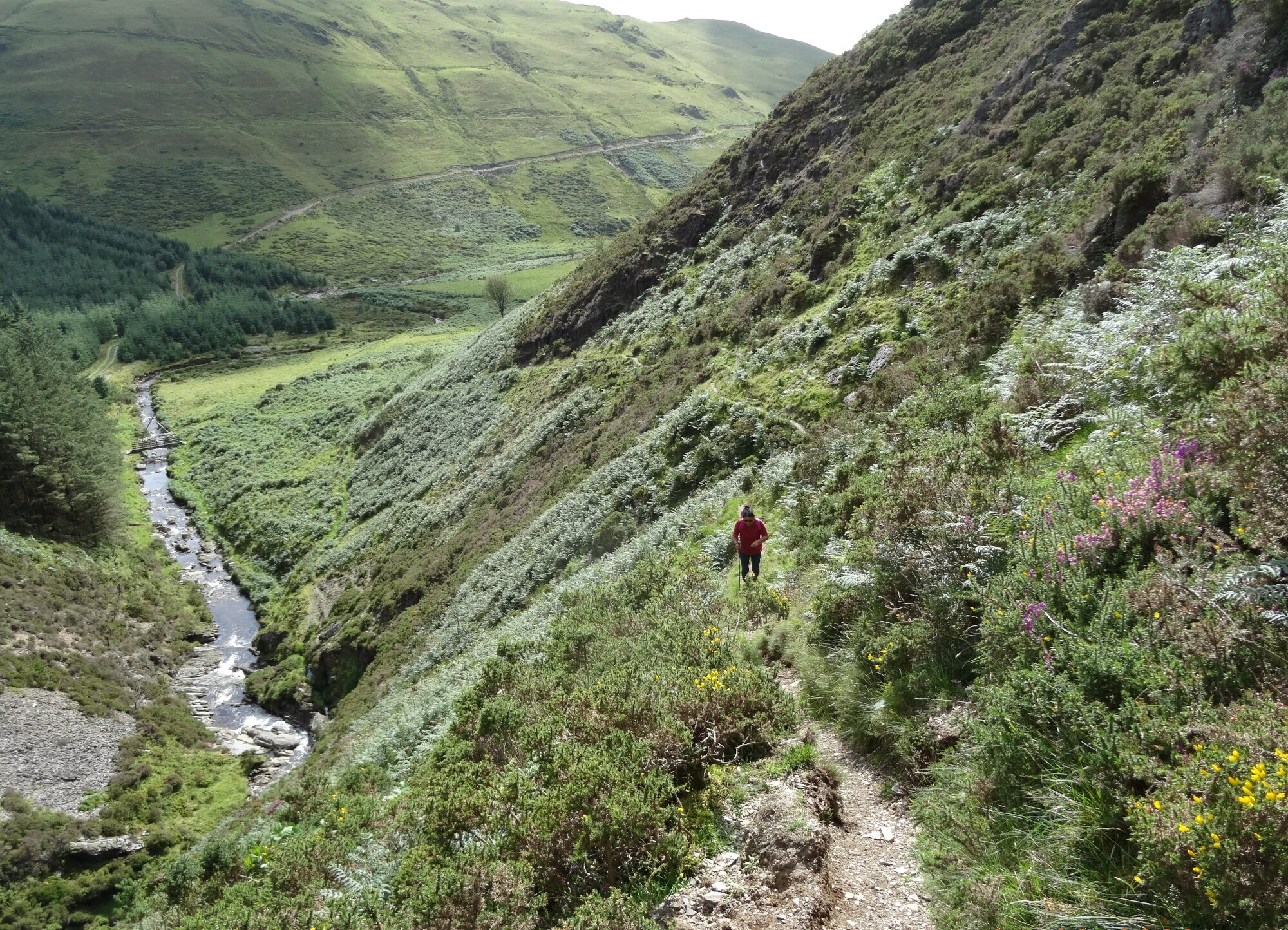
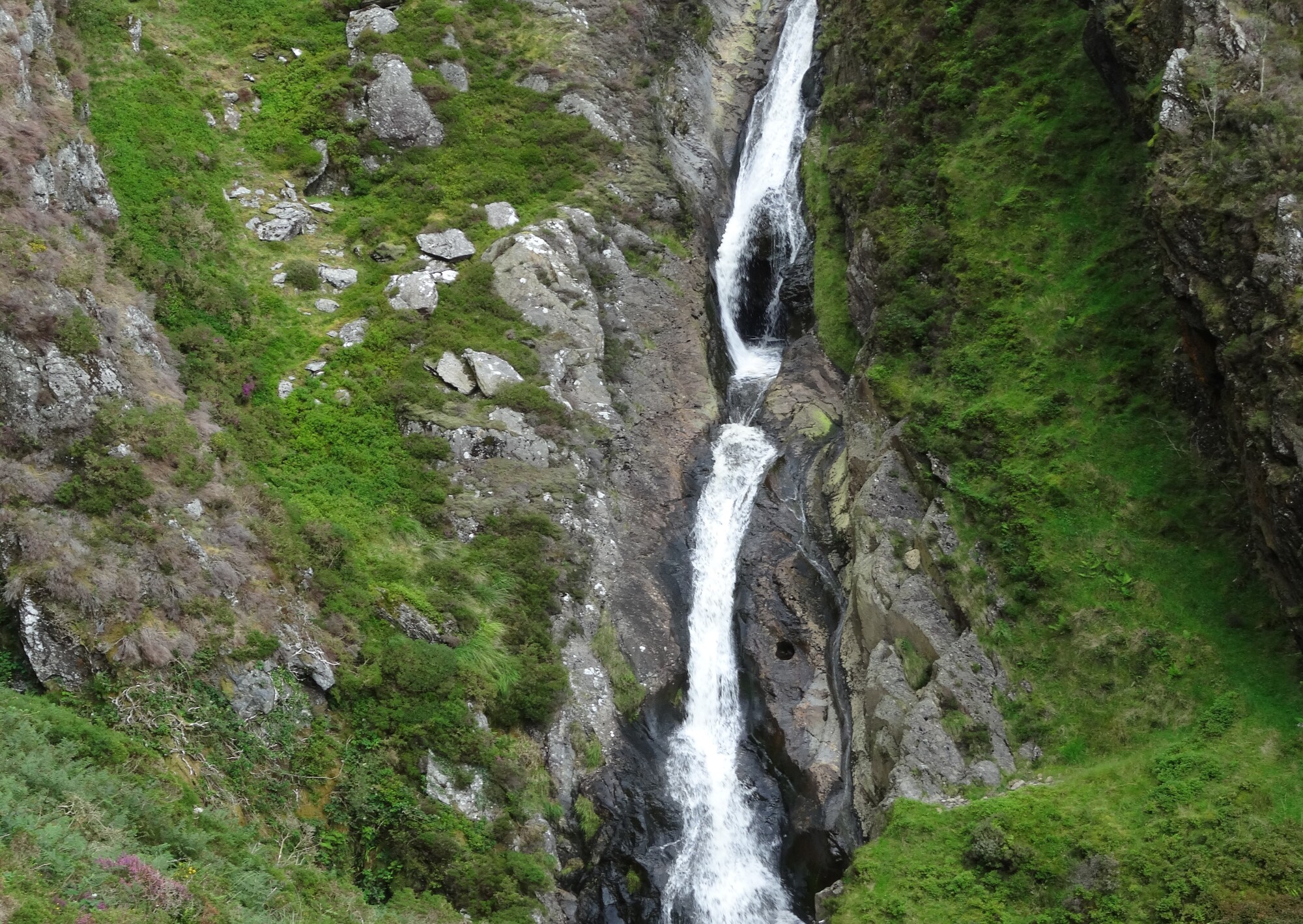
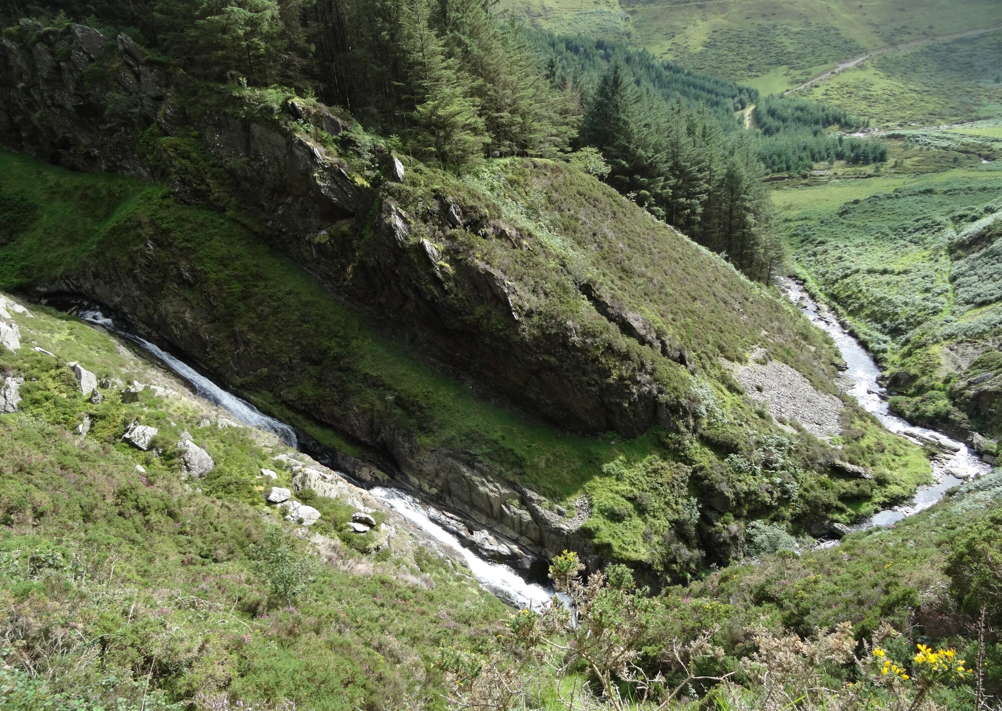
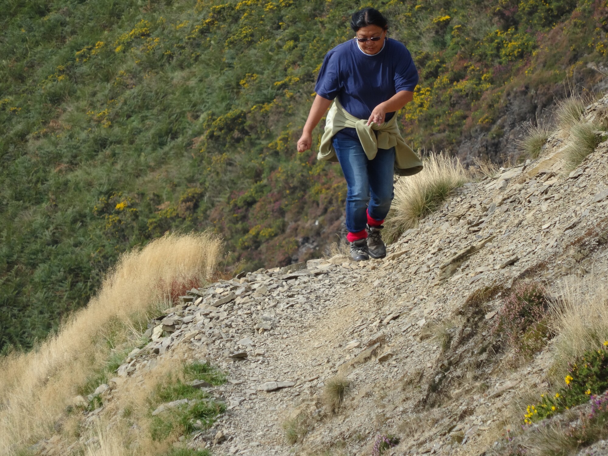
Now we will be walking steeply uphill with looming crags above us, and an increasingly high and steep drop down to the river gorge to our right. After rain, particularly, the obvious sight and sound will be the dramatic narrow waterfall, the ‘pistyll’... the Afon Leri shooting down the smoothed rocks of the gorge...
The only slightly tricky bit of the path is towards the top where it skirts some screes and becomes, briefly, very steep and a little loose underfoot. This is where you are glad to have such good grippy soles on your boots!
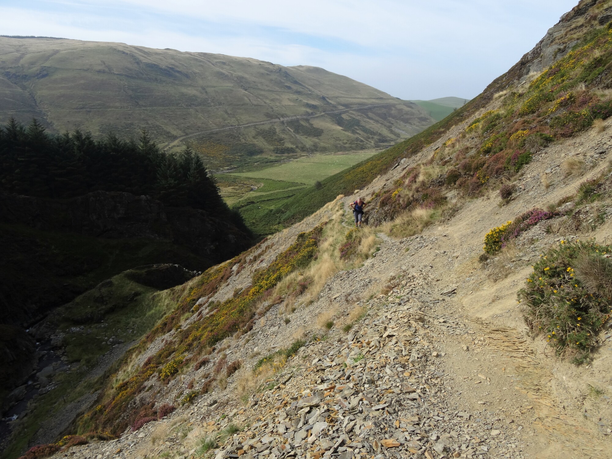
All too soon, the path begins to level off and the landscape changes dramatically. A short walk brings you to the dam of Llyn Craigypistyll, a water supply reservoir. Continuing on the path alongside the lake, the landscape has a ‘wilderness’ feel to it. The lake has an austere beauty, and the path is easy to follow on the ground in good weather.
The path eventually arrives at a ‘meeting of the ways’ where you cross a ford on the stony track, then turn right at the t-junction of tracks and start heading in a south easterly direction. You pass the isolated ruined farmhouse of Bwlchystyllen, which always seems to have a haunting, sad, beauty, and then soon cross Nant Glas via a footbridge next to a ford.
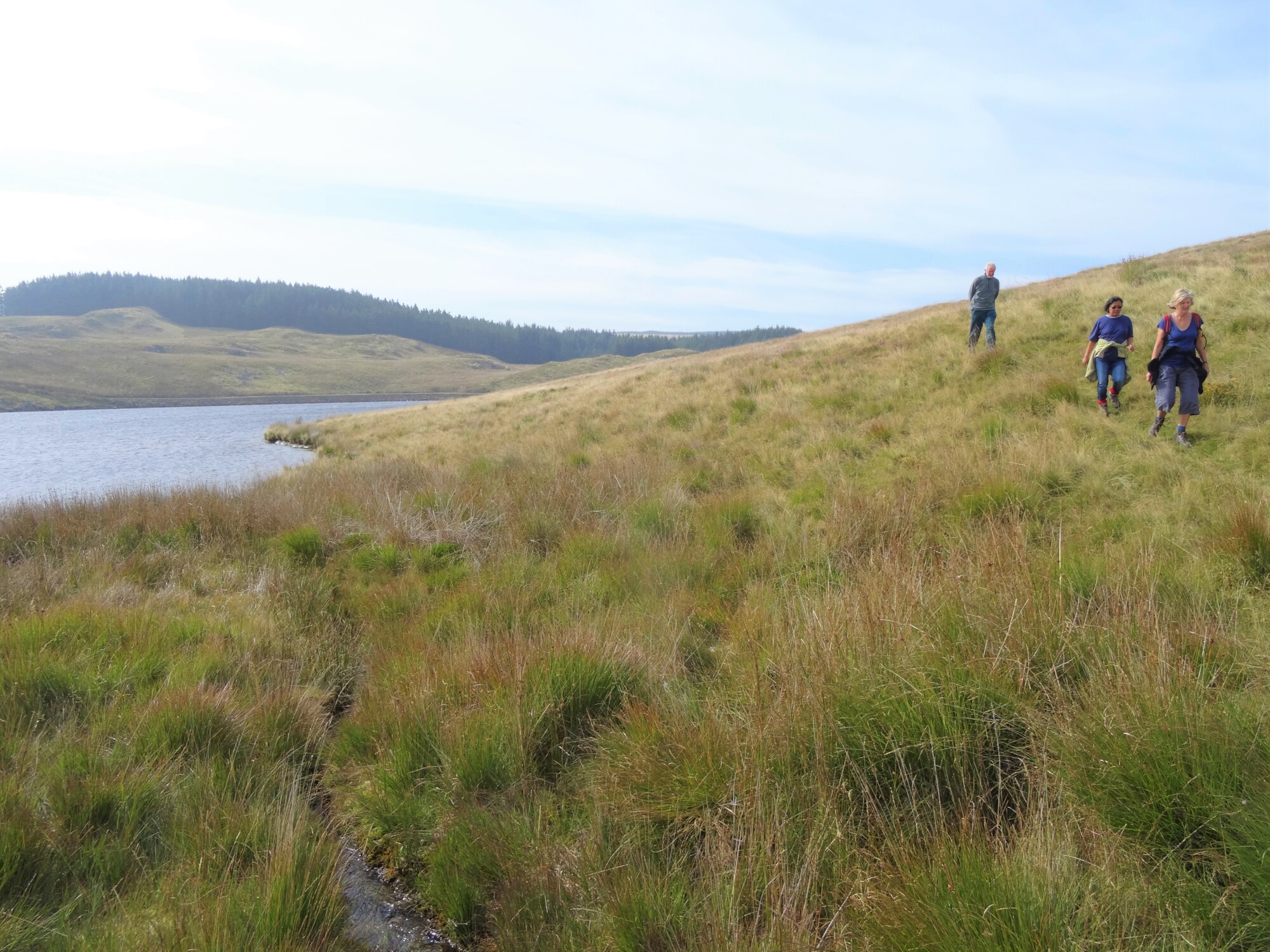
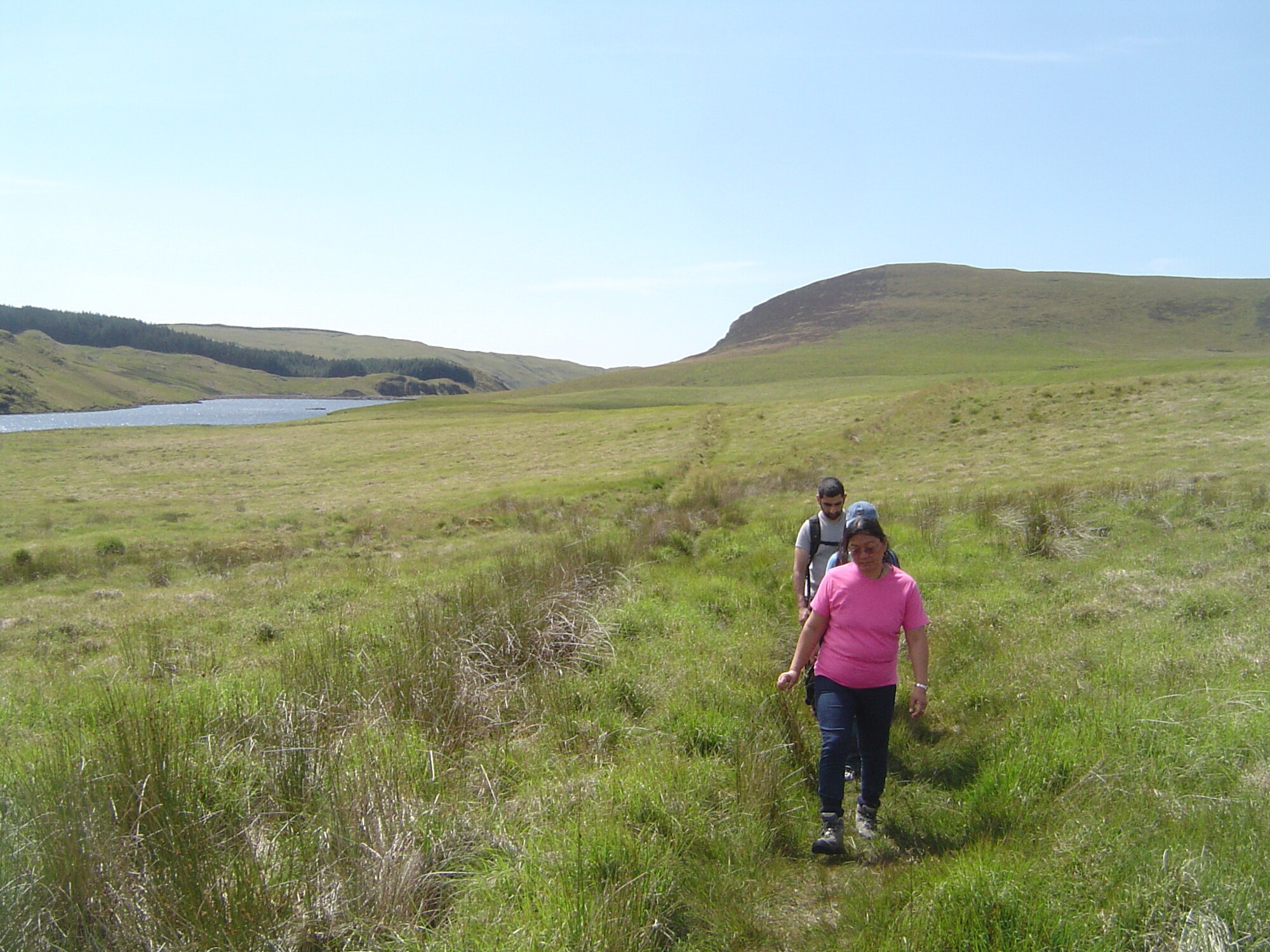
Continue on the same track, avoiding getting wet feet in the puddles, the way here is mainly level or slightly descending, so although a bit of a ‘route-march’ it is a pleasant walk with wide views. About 1km after the footbridge you will reach Llyn Syfydrin, with up to the left a view up the shallow valley of Nant Glan-dwr and Esgair Gorlan.
On a sunny afternoon in summer, Llyn Syfydrin always seems to sparkle invitingly in the sunlight, and there are ideal shoreline picnic spots.
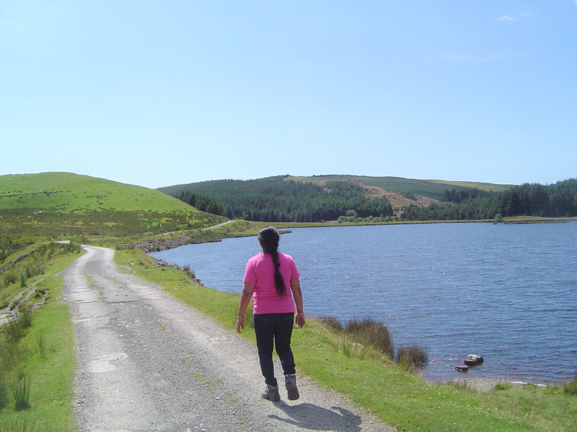
The rough track becomes a surfaced lane across Llyn Syfydrin’s dam, and beyond. After leaving the lake behind, follow the lane uphill through forest, and take the right fork when you get to a hairpin bend on a slightly wider surfaced mountain road. Walking another kilometre along this road winding through pleasant forest, you arrive back at the starting car park on your right.
Neal Batchelor:
May 08, 2023 at 02:18 PM
A delightful walk Maurice, and I can understand why its a favourite. The scenery was beautiful and enhanced by the excellent weather on the day I walked it. No problem with any of the route instructions. Thanks, Neal
rseabrook:
Jul 24, 2024 at 01:22 PM
Many thanks, Neal! MK