


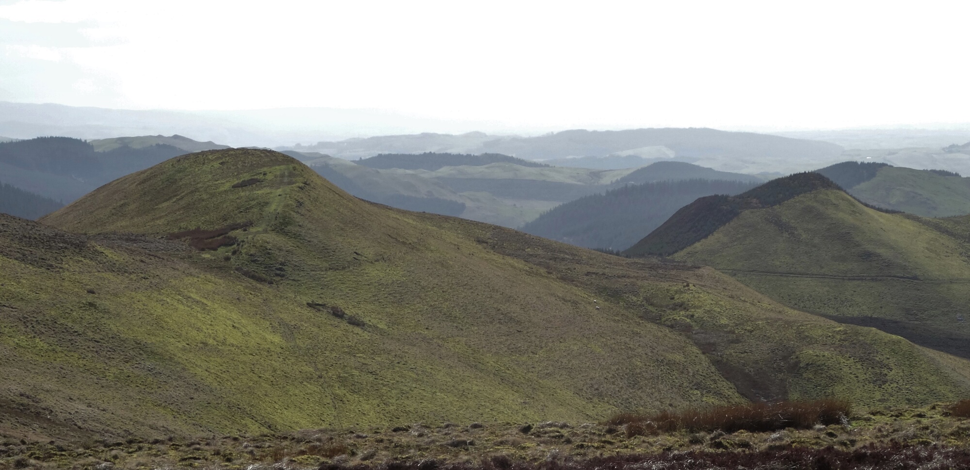
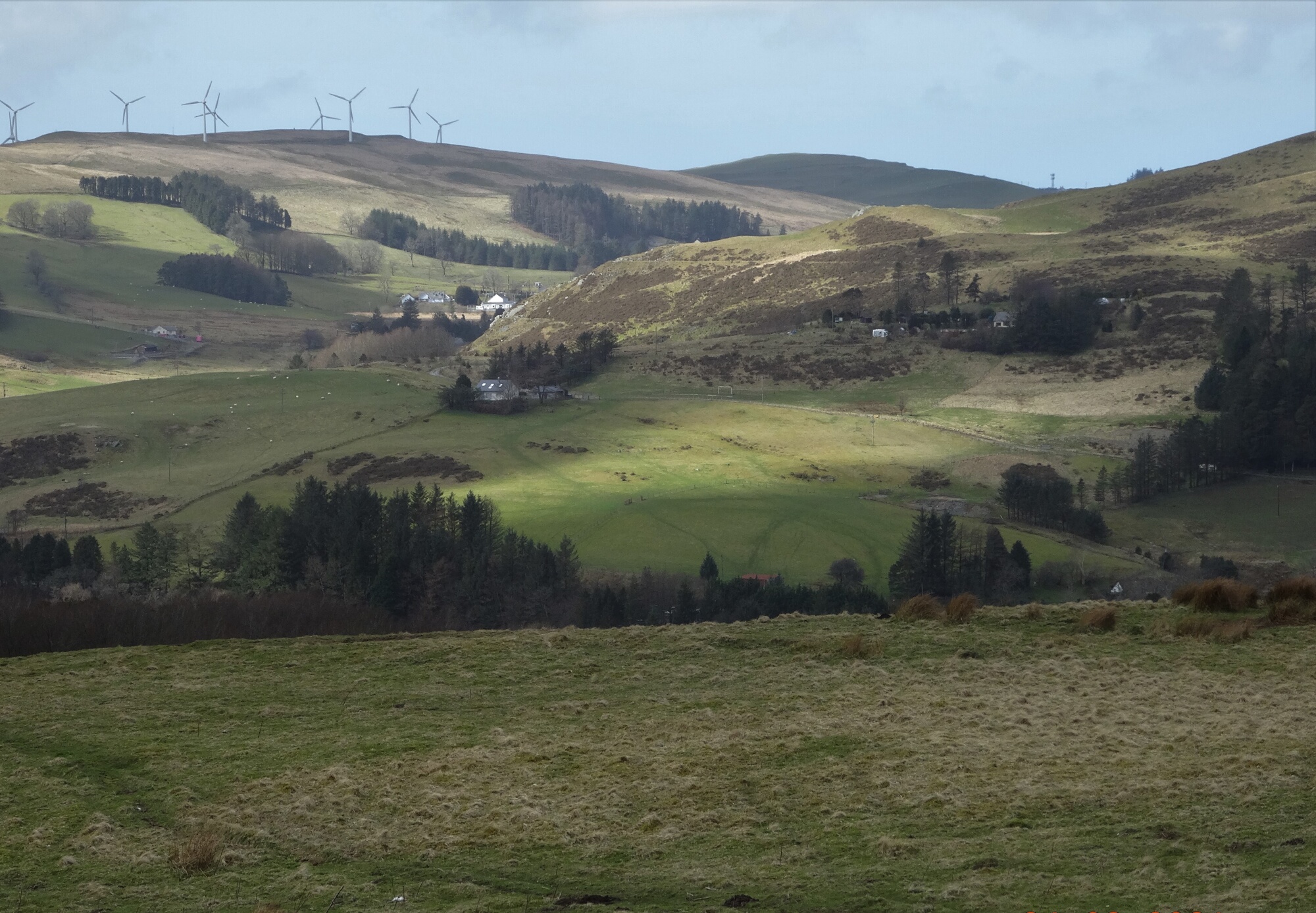
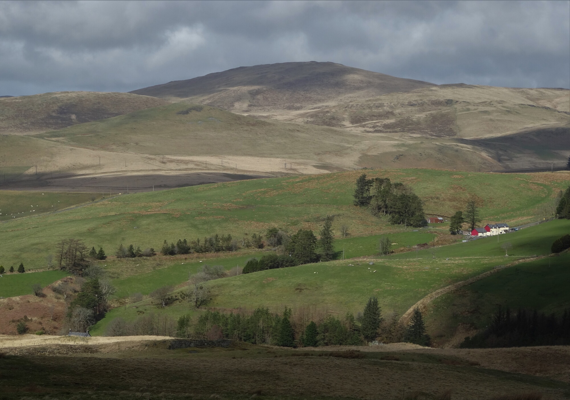
This is a short introduction to the range of hills that you see ahead and then to your right after the village of Ponterwyd as you drive eastwards on the A44. They are easily accessible, quite shapely, and give quite a remote feel, despite being close to the main road. There is a good view across the valley of the southern end of the Pumlumon range. Mostly you are on paths, which get faint and confusing in places, so you need to concentrate and have your map handy. There is a bit of road walking along a quiet lane for about 1 ½ km towards the end. See also the other walk on this website in these hills, which covers some of the same ground but in the reverse direction, is longer, and takes in the highest point of the range, Draws Drum at 574 m.
(opens in new tab):
of starting point :
If arriving by X47 bus from Aberystwyth, alight at the second bus stop in Ponterwyd ('Maes yr Awel') which is our walk's starting point. By private transport, travel the 12 miles to Ponterwyd on the A44, turning right just after the bridge onto the A4120 (signposted to Devil's Bridge/Pontarfynach). After a short distance, you will see a children's play area on your left... there is (considerate) parking in the road called Maes yr Awel on the left here.
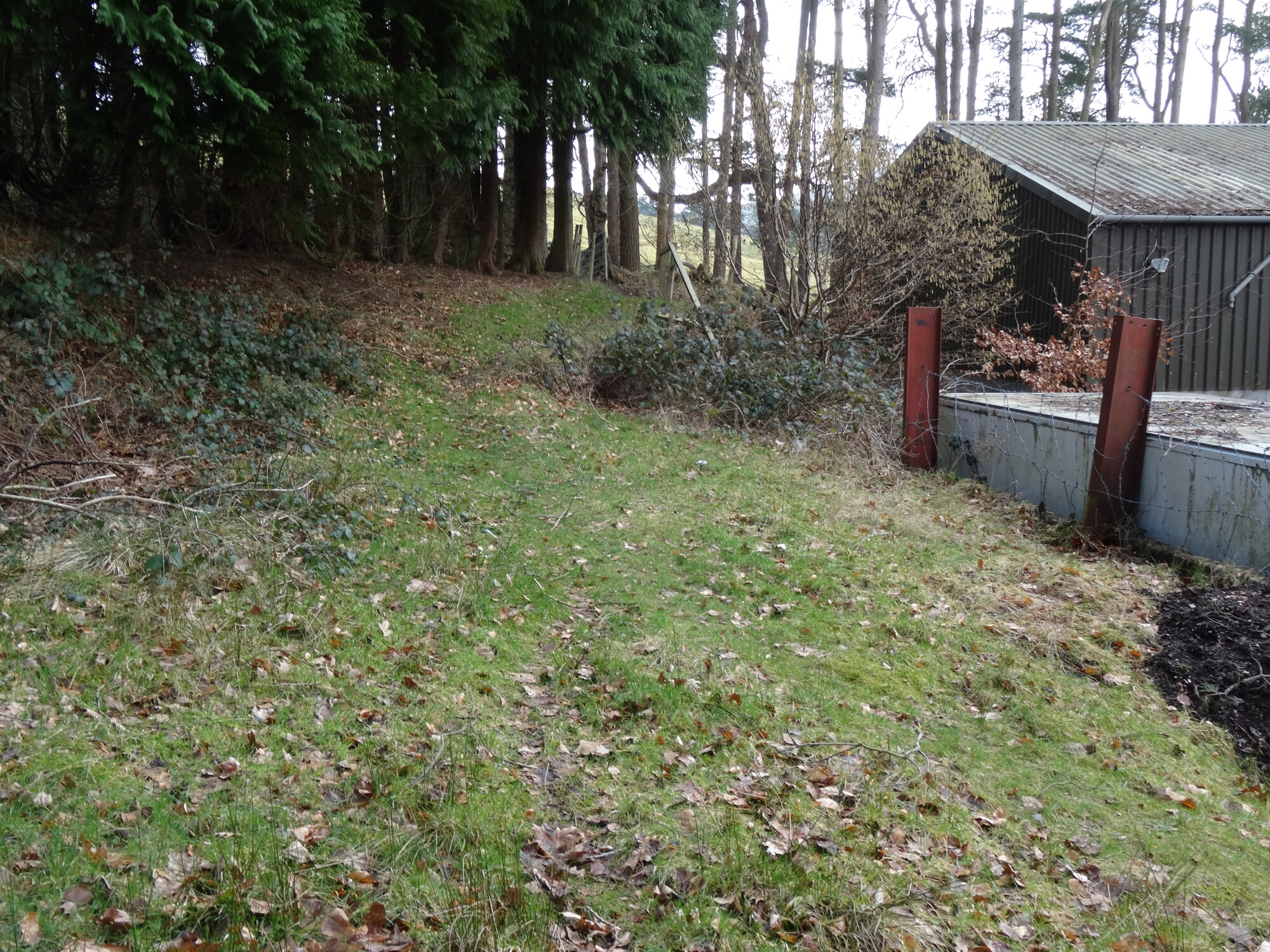
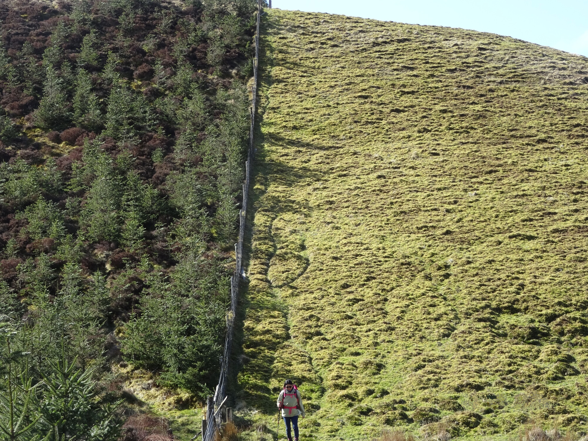
Walk for about 30 metres further on the A4120 (Devil's Bridge road) and just before a curve round to the right, notice a wide track going very slightly left with footpath/bridleway sign. Pass the car body-repair workshop, going right at the far end of it (not on the track bearing left), through a small gate, then following a vague footpath continuing straight up the hill, alongside the fence and line of trees.
The view starts opening out all round.
The path becomes a farm track in the next field, then after about ½ km you go over the top of the hill, with a white house over to the left and two metal gates ahead, leading to a short driveway, then out onto a small road.
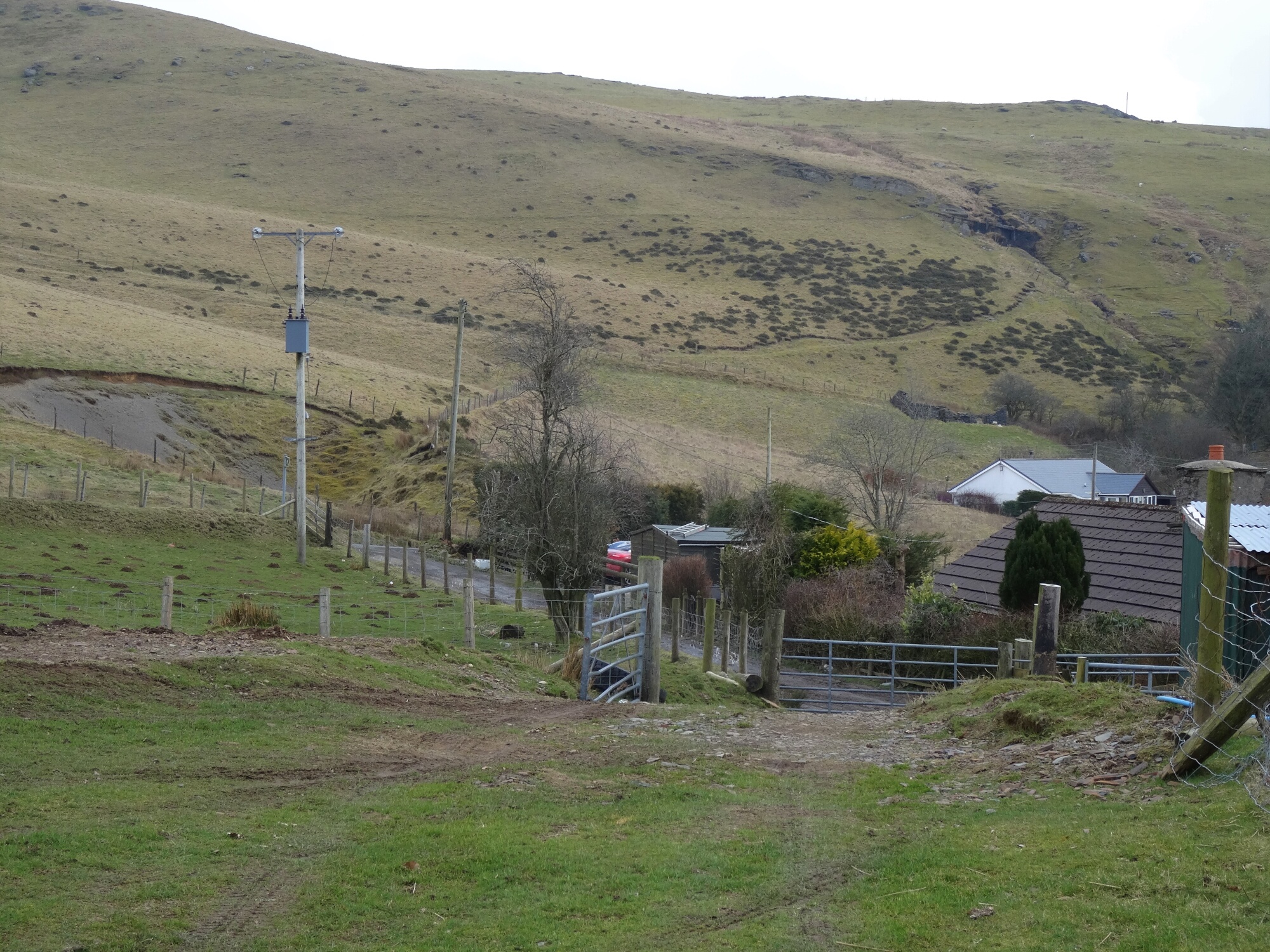
Turn left on the road up towards the house, opposite which there is an obvious stile and footpath sign to follow, to the right.
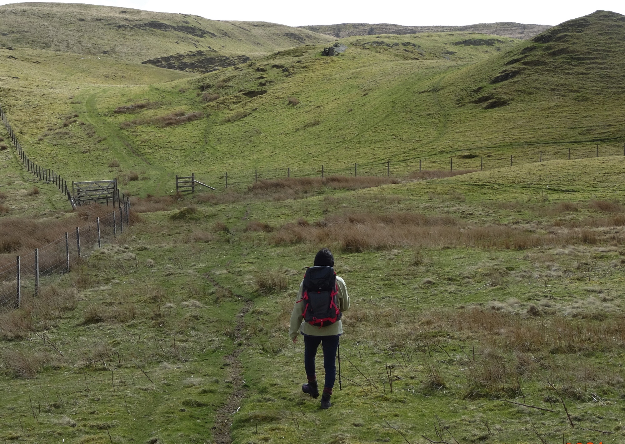
Once across, ahead you will see open country and hills, and a vague path heading uphill across the rough grazing land. Follow the path carefully, over a broad hump, and heading up towards an obvious cleft in the hills above. You should cross another path and through a metal gate, and then steeply up towards the cleft where the path starts levelling out.
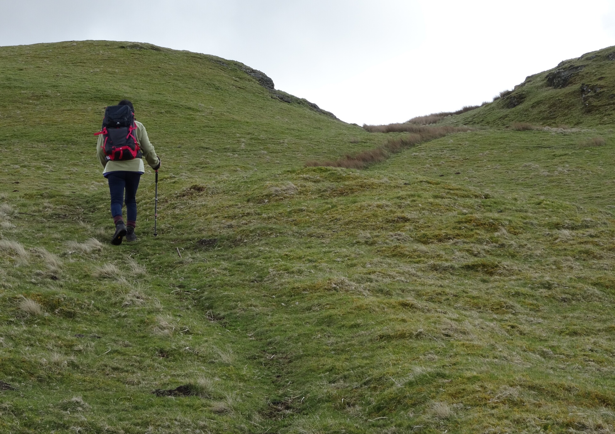
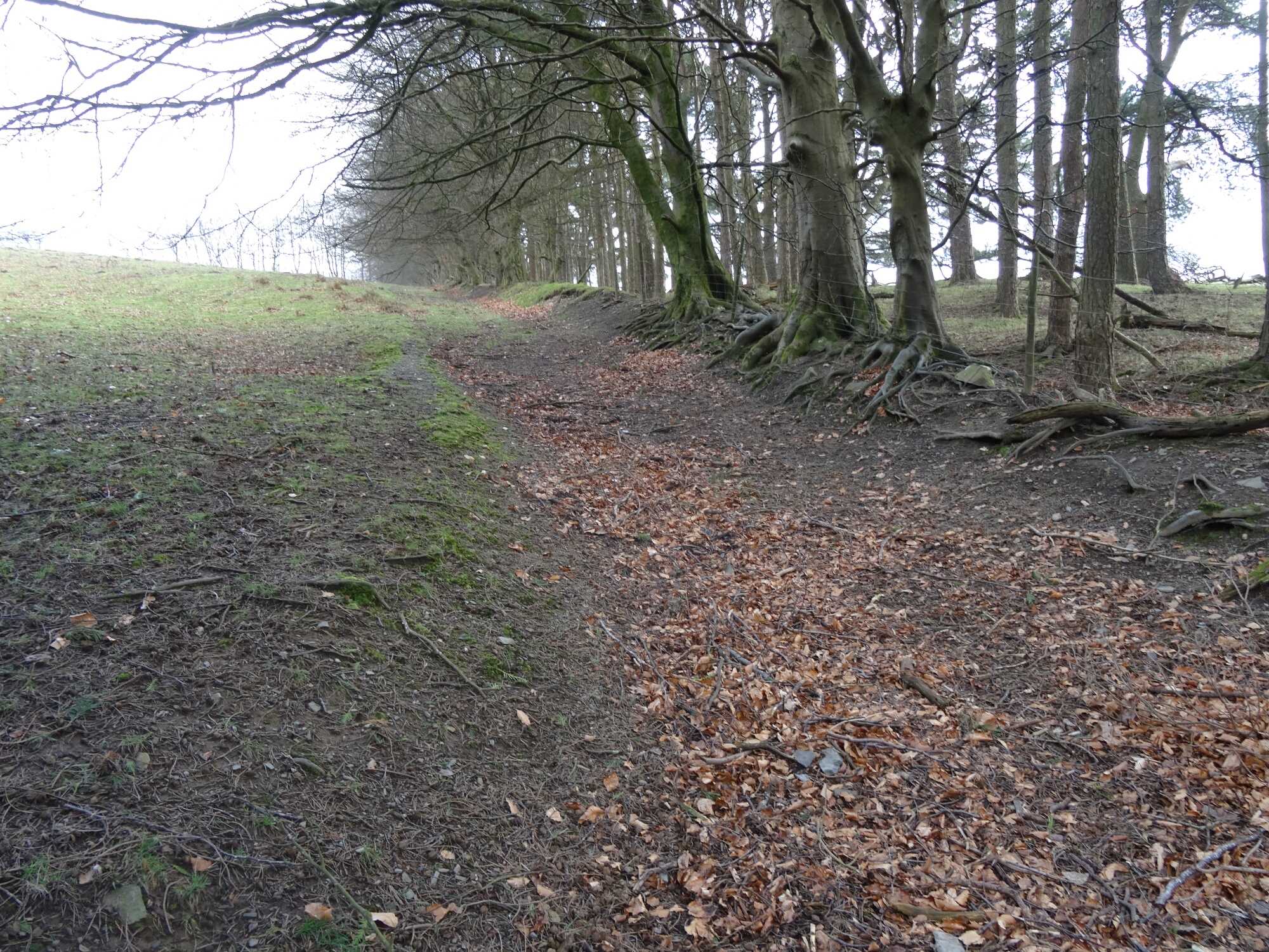
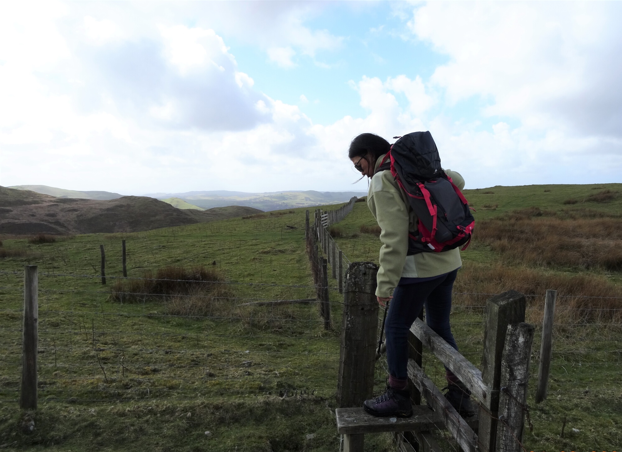
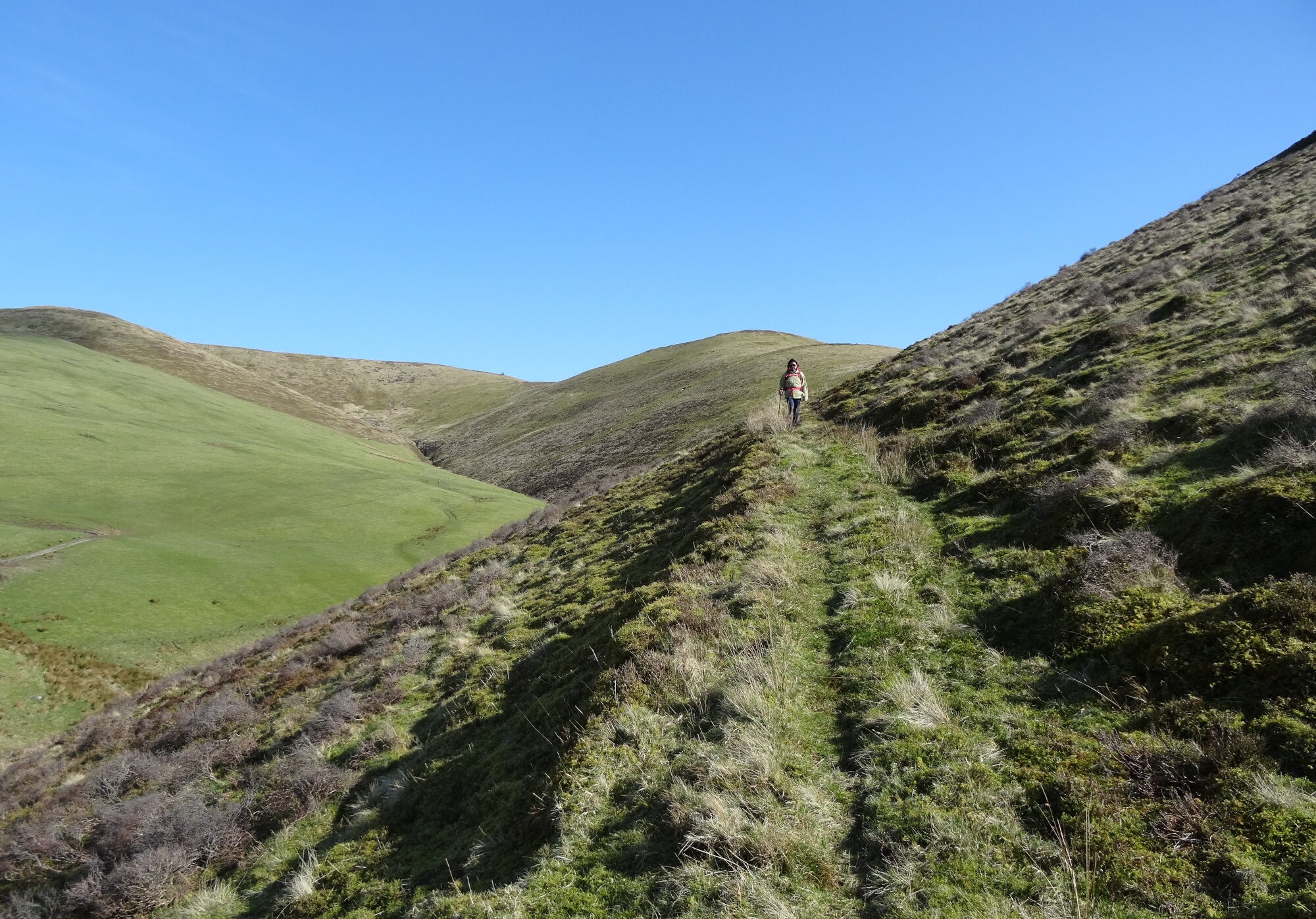
The path should now be fairly clear, keeping straight ahead close to the line of a fence for some way, and not leaving it in favour of a quad bike track over to the right. The waymarked path now descends slightly, crossing the fence to the right via a stile, then through stiles over fences crossing the path.
You should now see the first of a series of lumpy craggy ridges of land to the right of your path ahead, the first one with a fence running along the base, with a gate through it for the footpath.
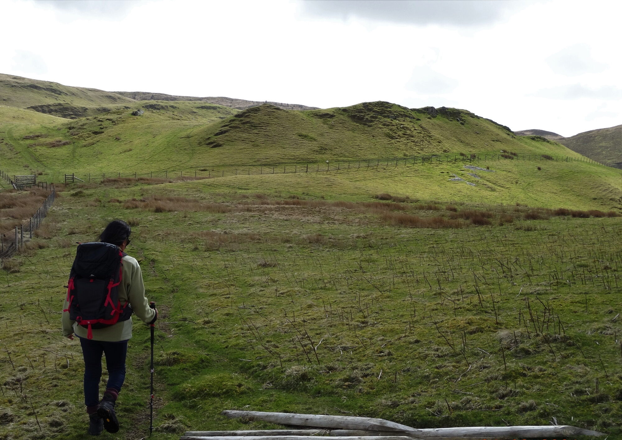
Go through this and follow the best/widest path straight ahead, at first roughly parallel to the fence,
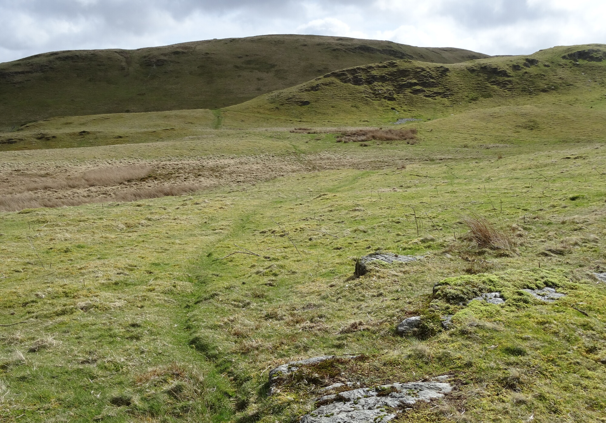
then curving round to the right up behind the second craggy ridge (marked with an altitude of 418m on the OS map just before getting to open Access Land). You are now in a cleft between the ridges, and you should follow the clear path towards a gate and marker post up on the left.
The path beyond the gate soon curves round to the left, round the shoulder of the hill, with a fence over to your right.
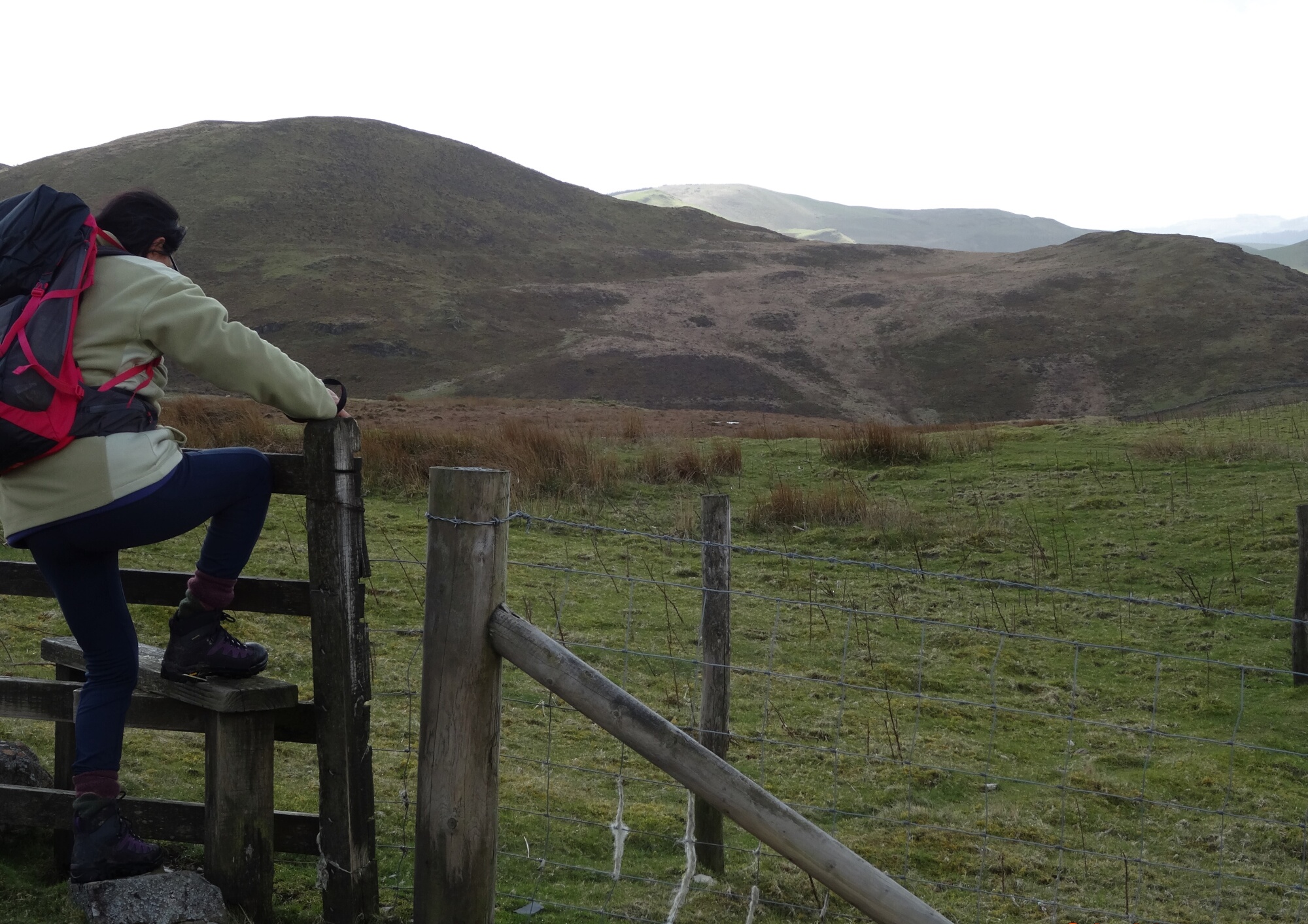
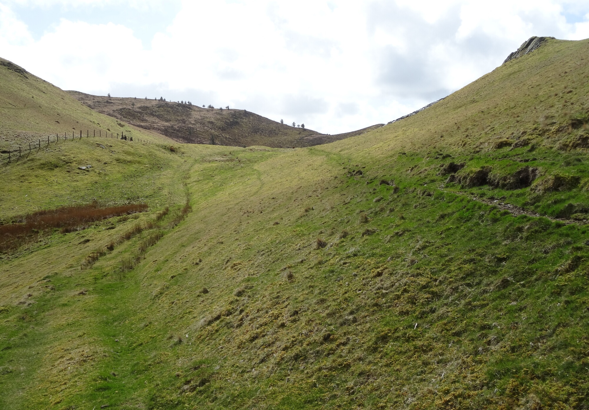
Once round the other side of the shoulder, find a diversion to the right, crossing a stream and a boggy area, to finally end up at a stile over the fence, with the option to follow the path onwards to the right, or not to cross the stile but head straight up the steep hill ahead alongside the fence towards the forest.
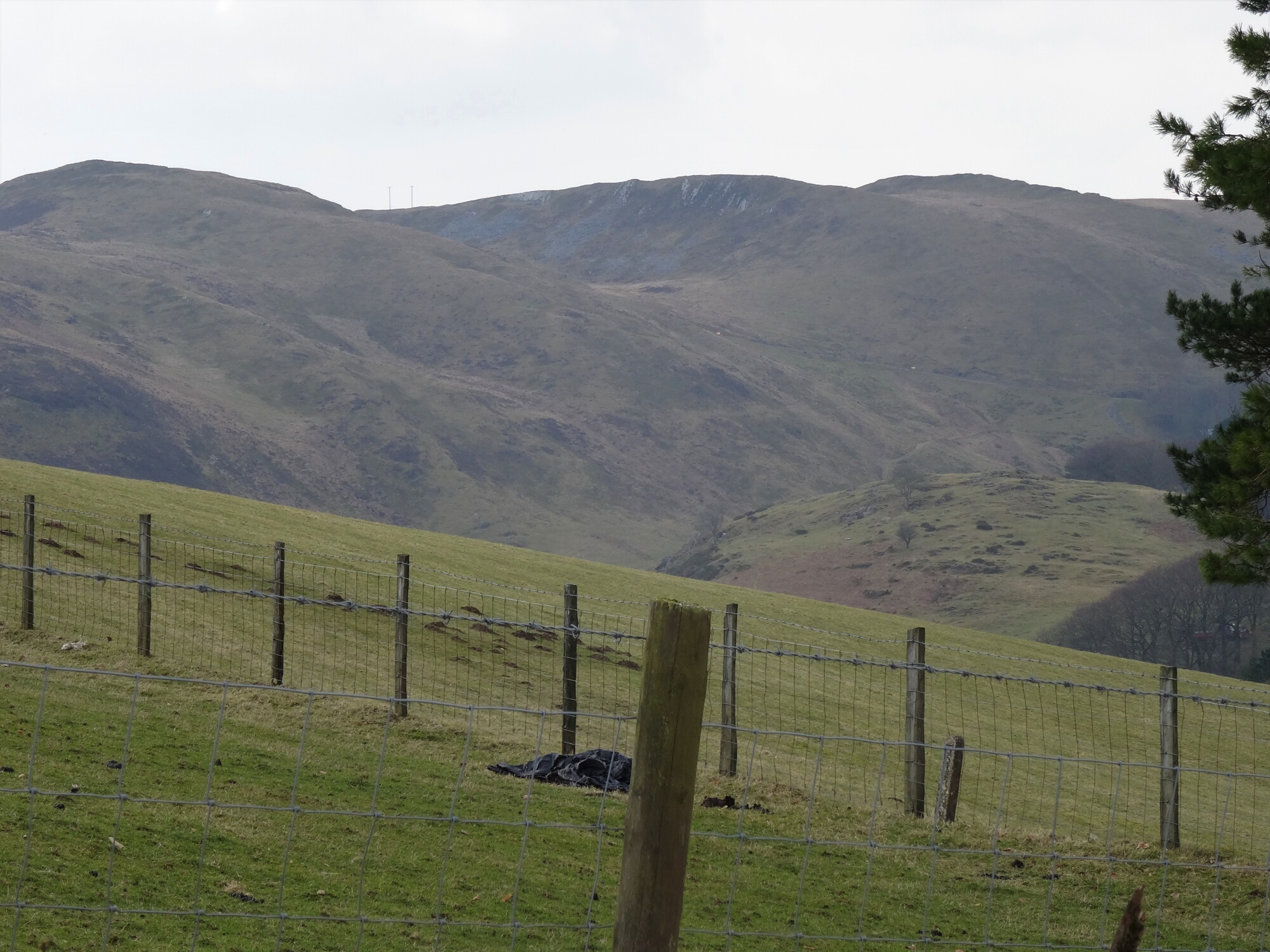
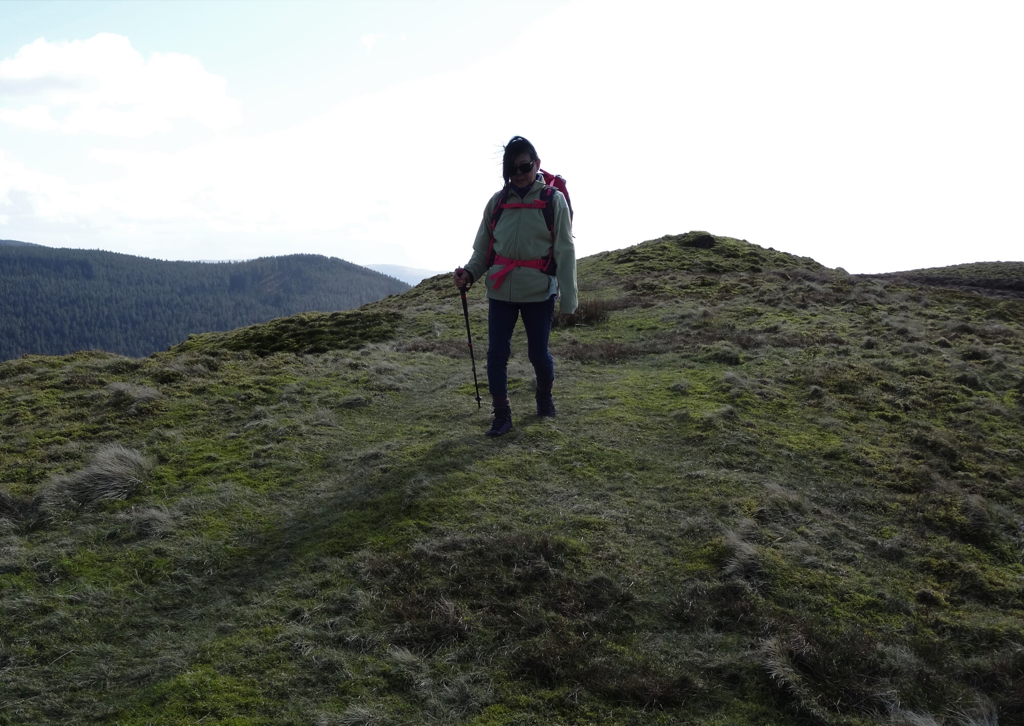
In reasonable weather, the crossing to start the sharp little ascent is not as boggy as it looks, and the steep pull up alongside the fence is not difficult, or long drawn-out. Very soon you arrive at a forest boundary, and you should see a rather difficult to spot trig point over to the right. This is marked 463m on the OS map, but it is unnecessary to visit it, as we will be heading in the opposite direction. The views all round are wild, lumpy, and impressive.
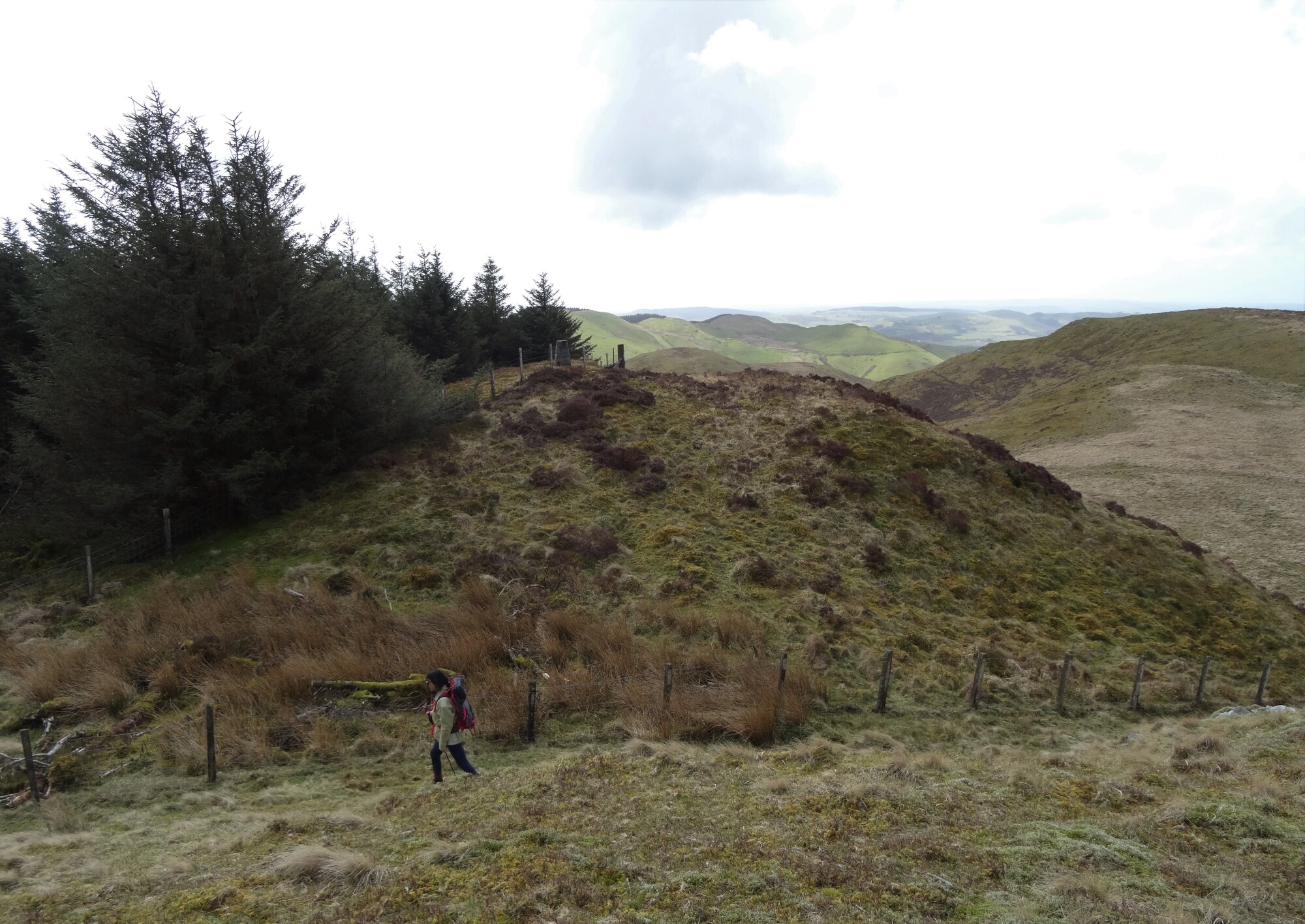
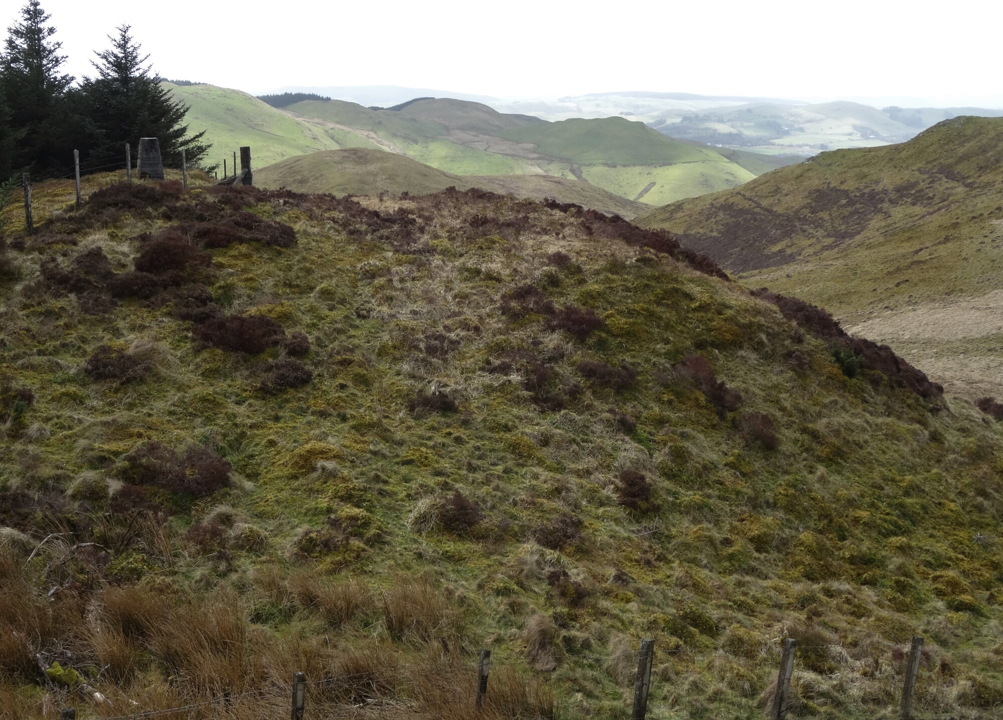
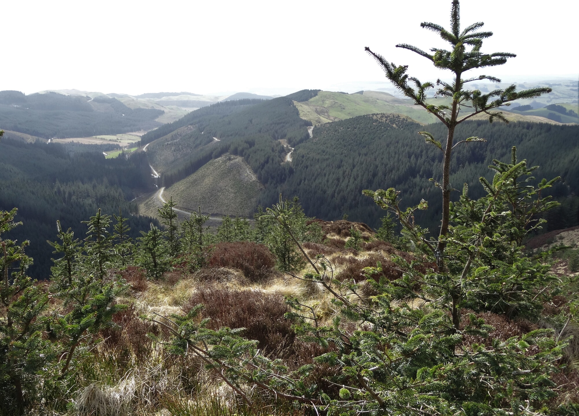
From this point, follow the line of the forest boundary fence in a roughly easterly direction… here and there the path becomes clearer, and a double quad bike track joins. You will see the prominent hump of Pen Dihewyd ahead; keep to the forest edge, even though it eventually gets very steep as you get to the start of the pull up the hill, and the quad bike track has disappeared…
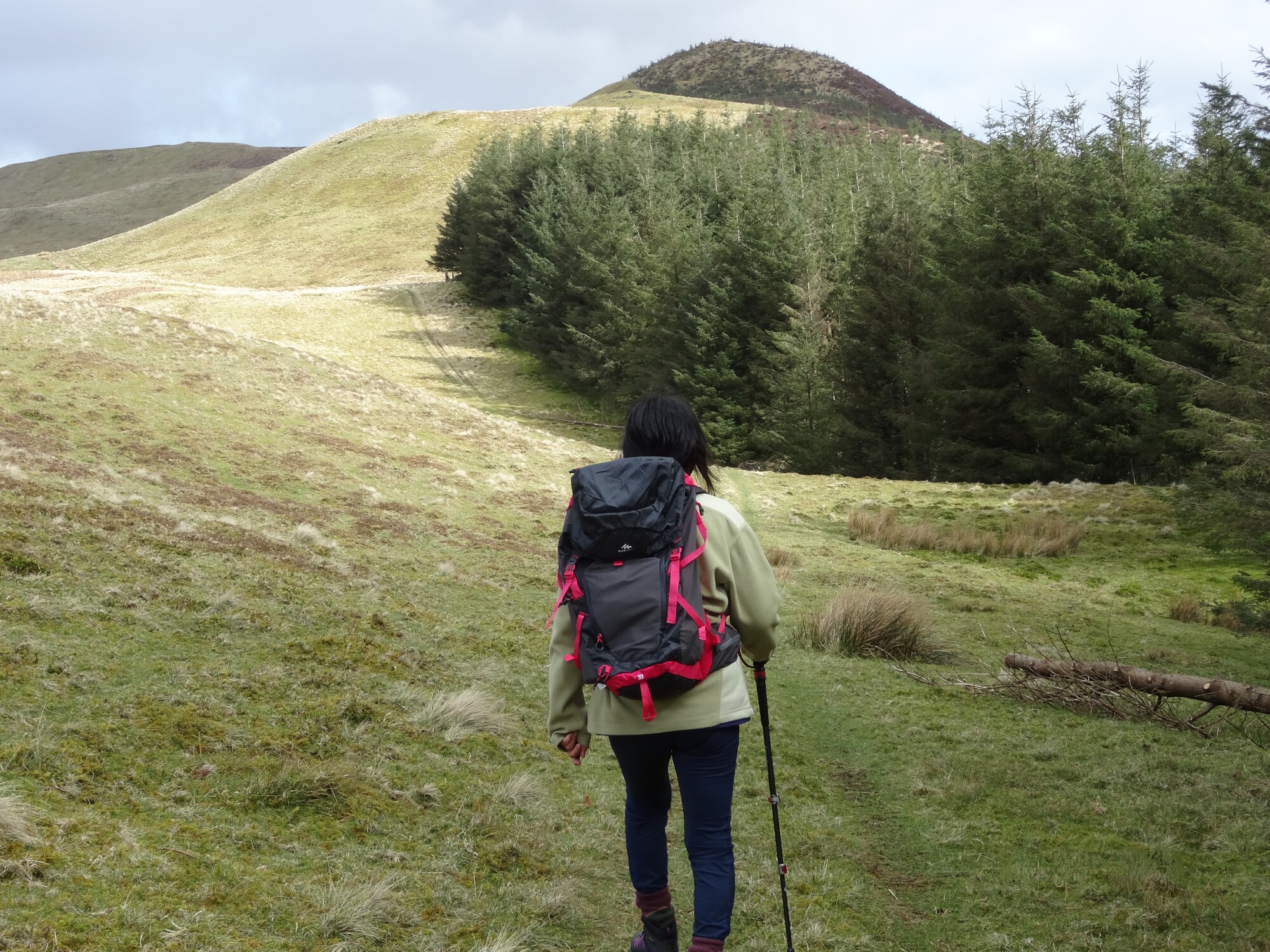
Climb towards the summit, next to the forest fence, then round to the far side. Unfortunately, NRW have planted trees right over the top of this lovely peaky summit with its fine views… this is Access Land, so you can carefully climb over the fence at the easiest point you see, and walk through the heather and trees to the highest point at 513m. But by the time you try this, the trees may be too high to make it worthwhile.
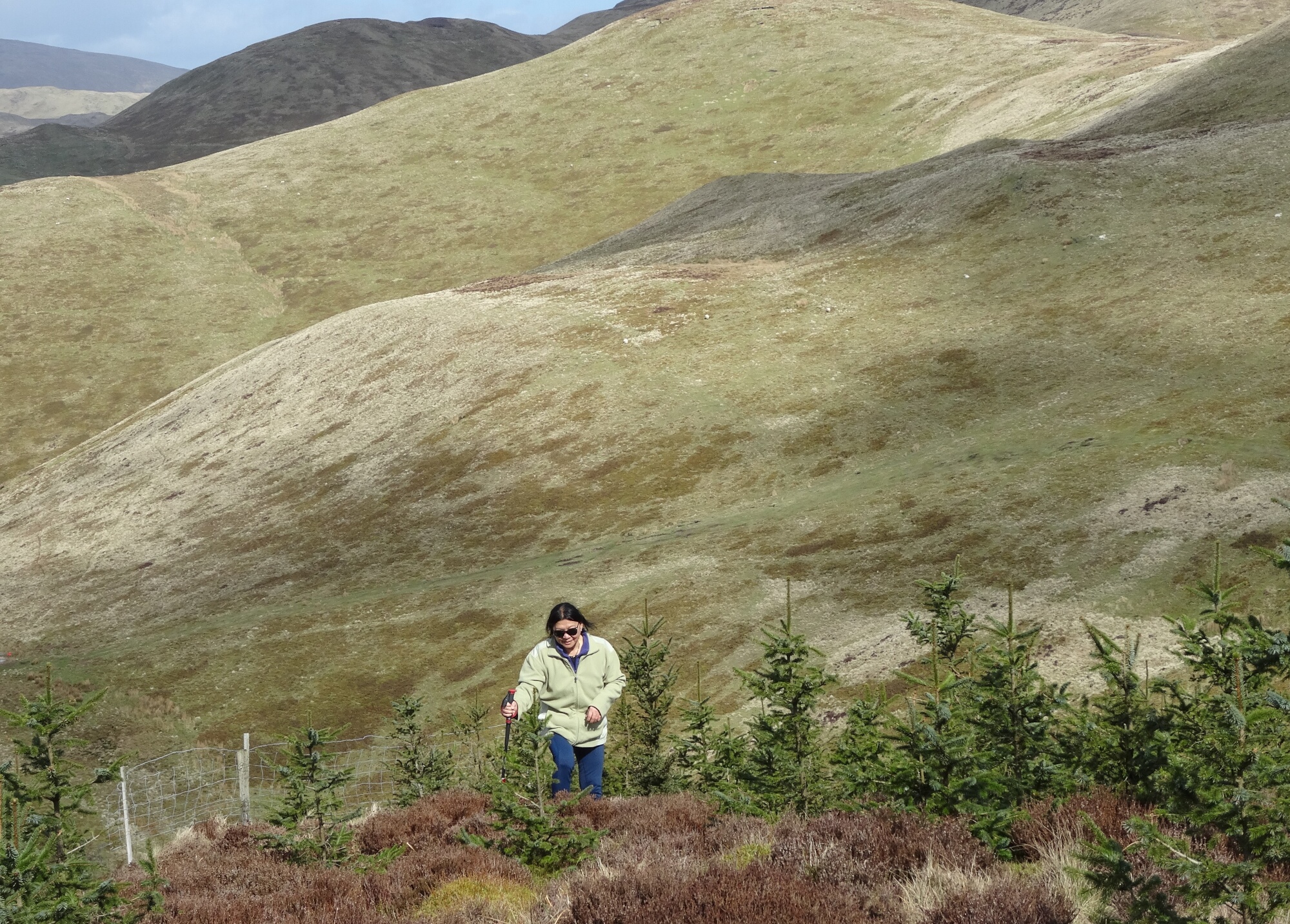
Return to the fence, climb over avoiding damage, and resolve at this point to write to Natural Resources Wales about spoiling this lovely mini-mountain. Then head down steeply, still roughly eastwards, and still keeping to the left of the forest boundary. Where the path levels off, you will see the quad bike track coming in from the left.
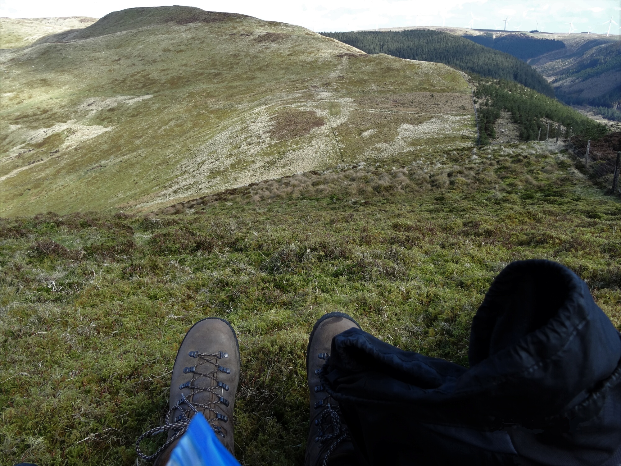
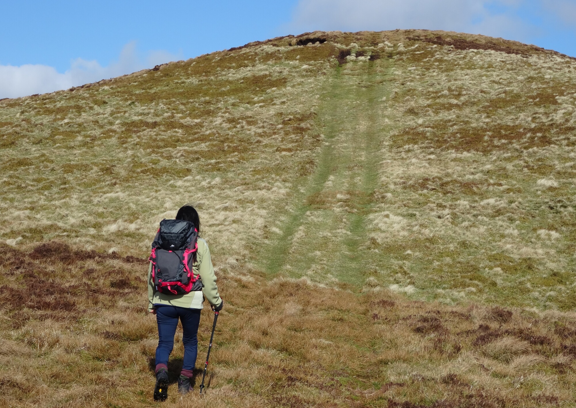
Follow this track, even where very faint, as it diverges branching left at last from the forest boundary, through a metal gate, and heads towards the summit of the next hilltop at 530m.

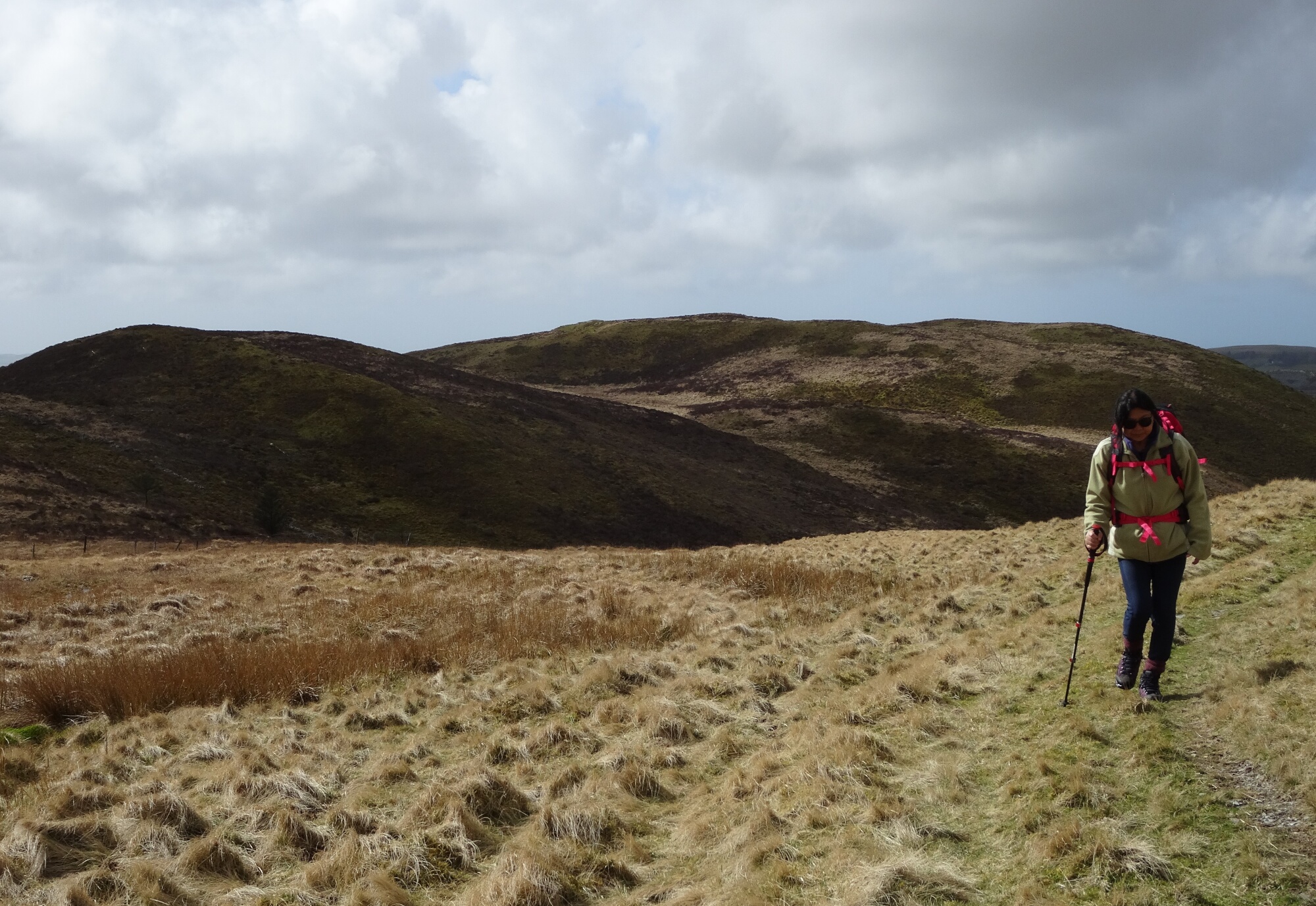
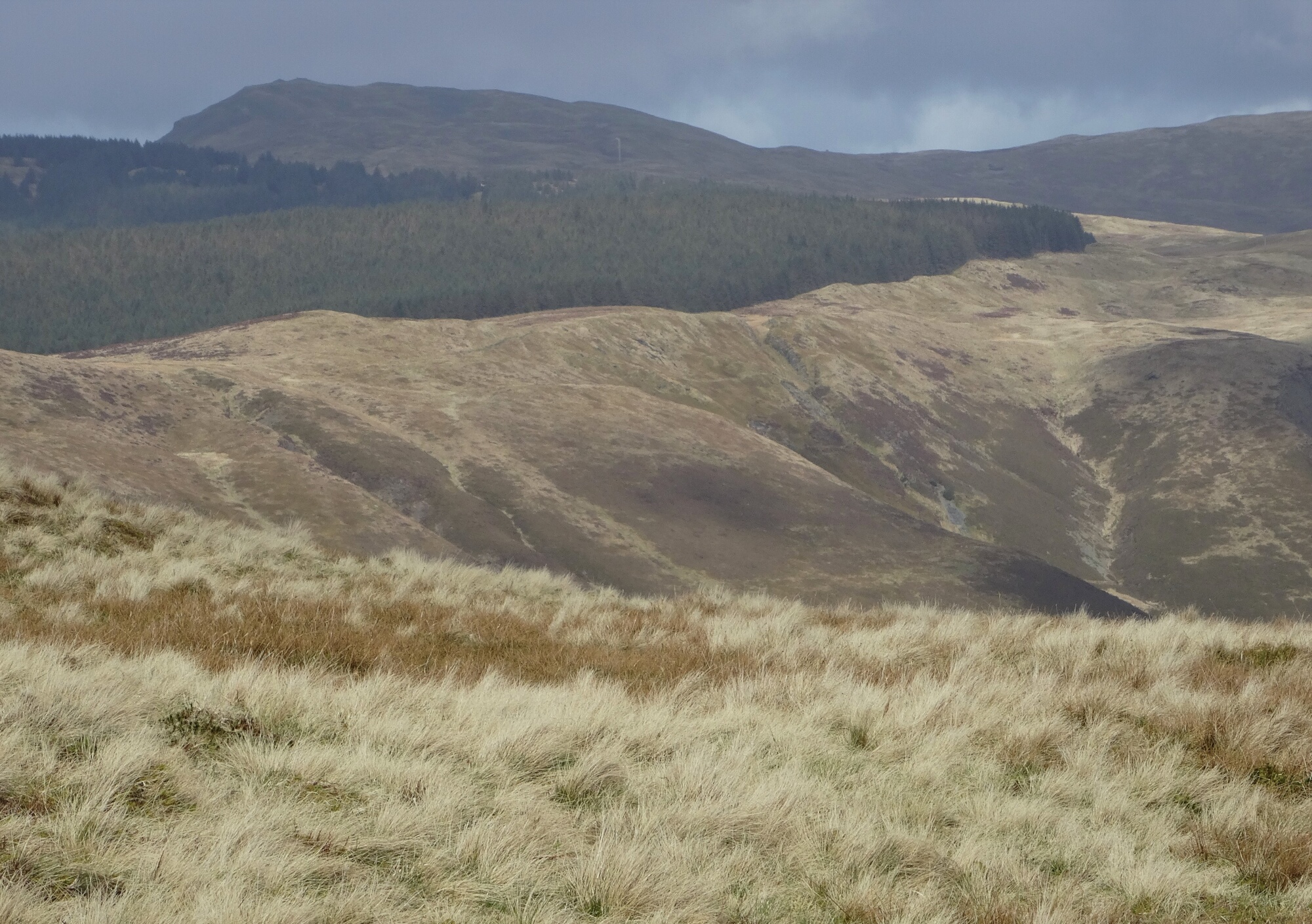
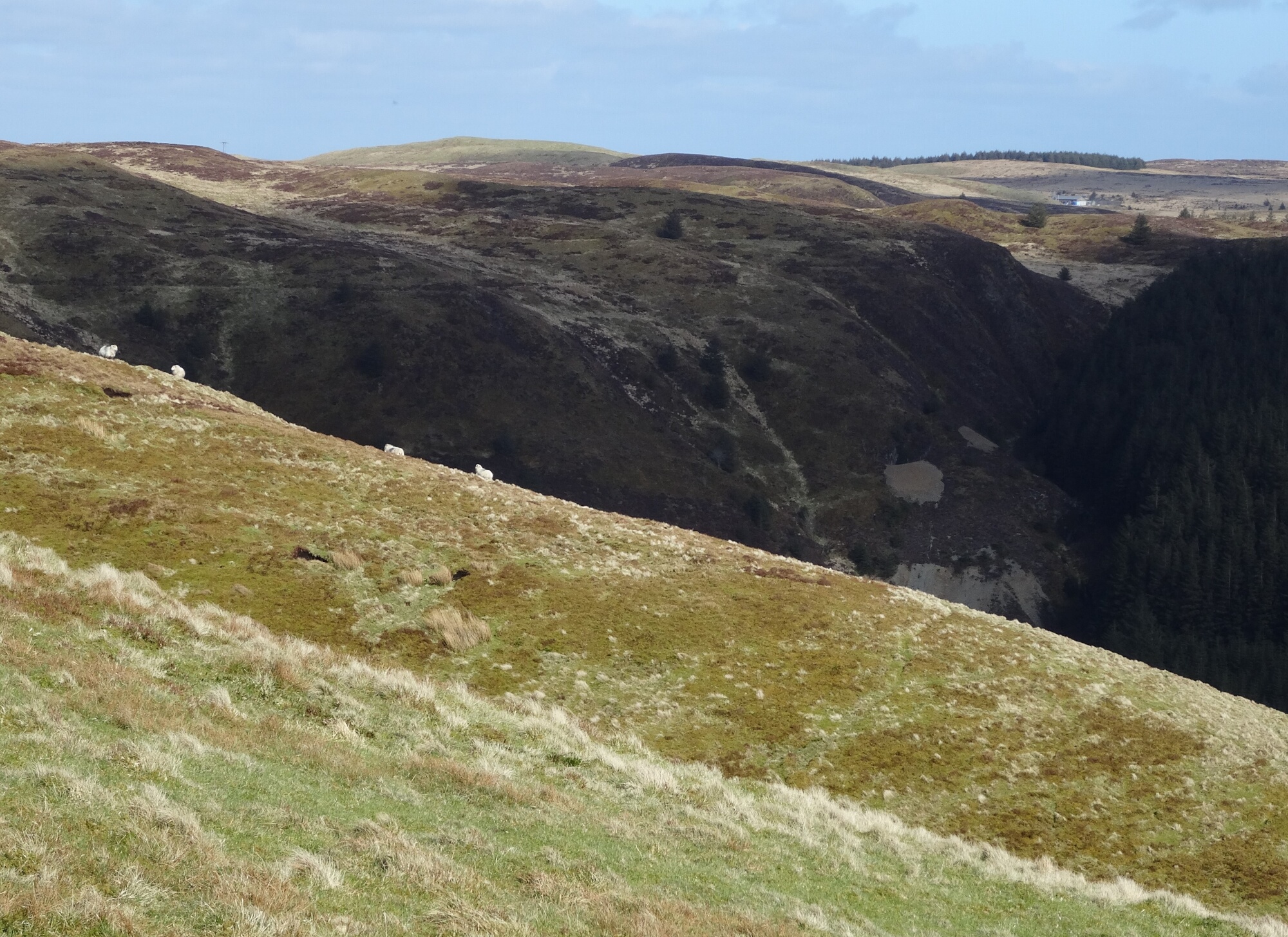
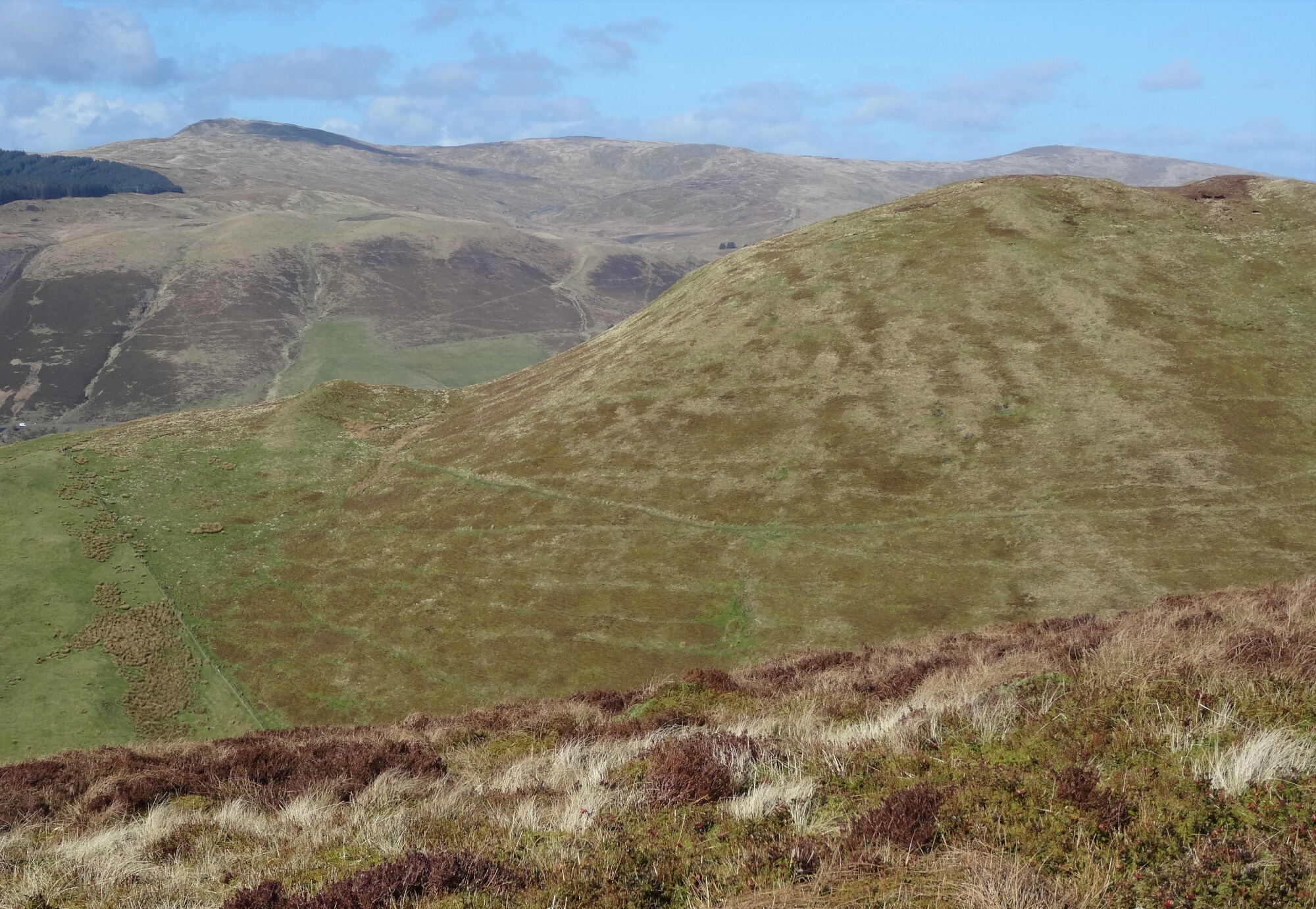
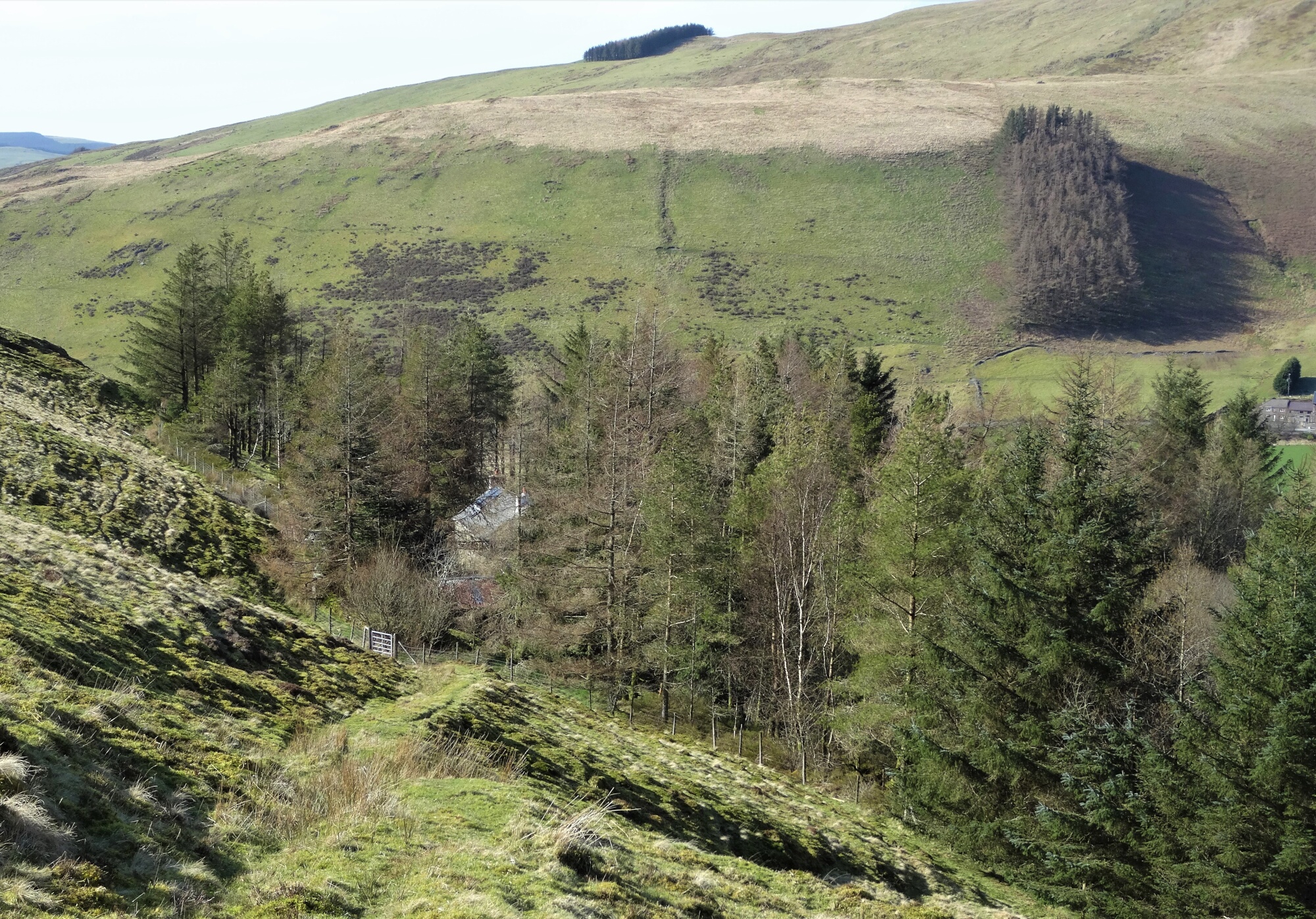
There is a small descent down the other side, then up onto another broad ridge, from which there is a view down into the dark forested chasm of Nant y Creuau.
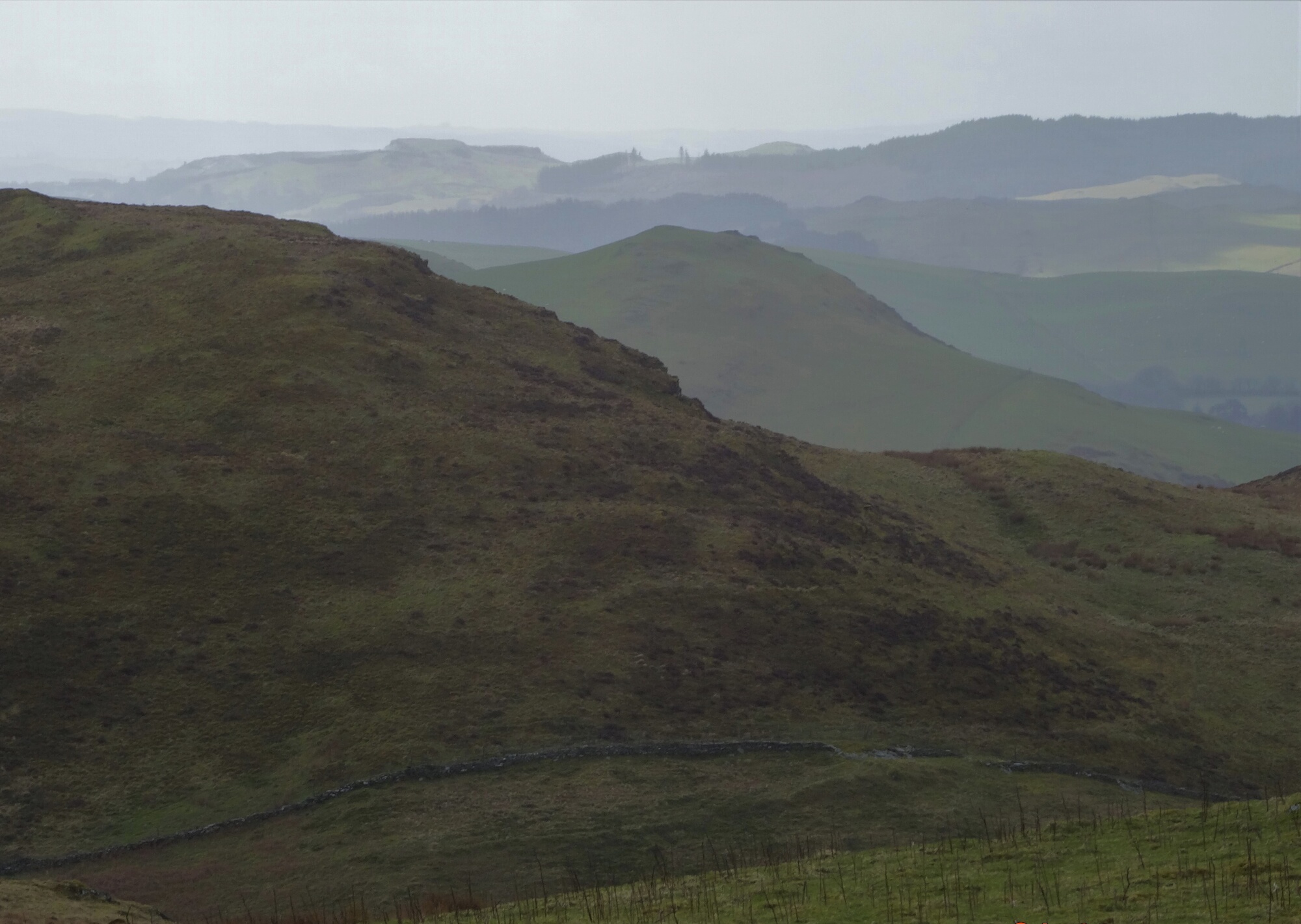
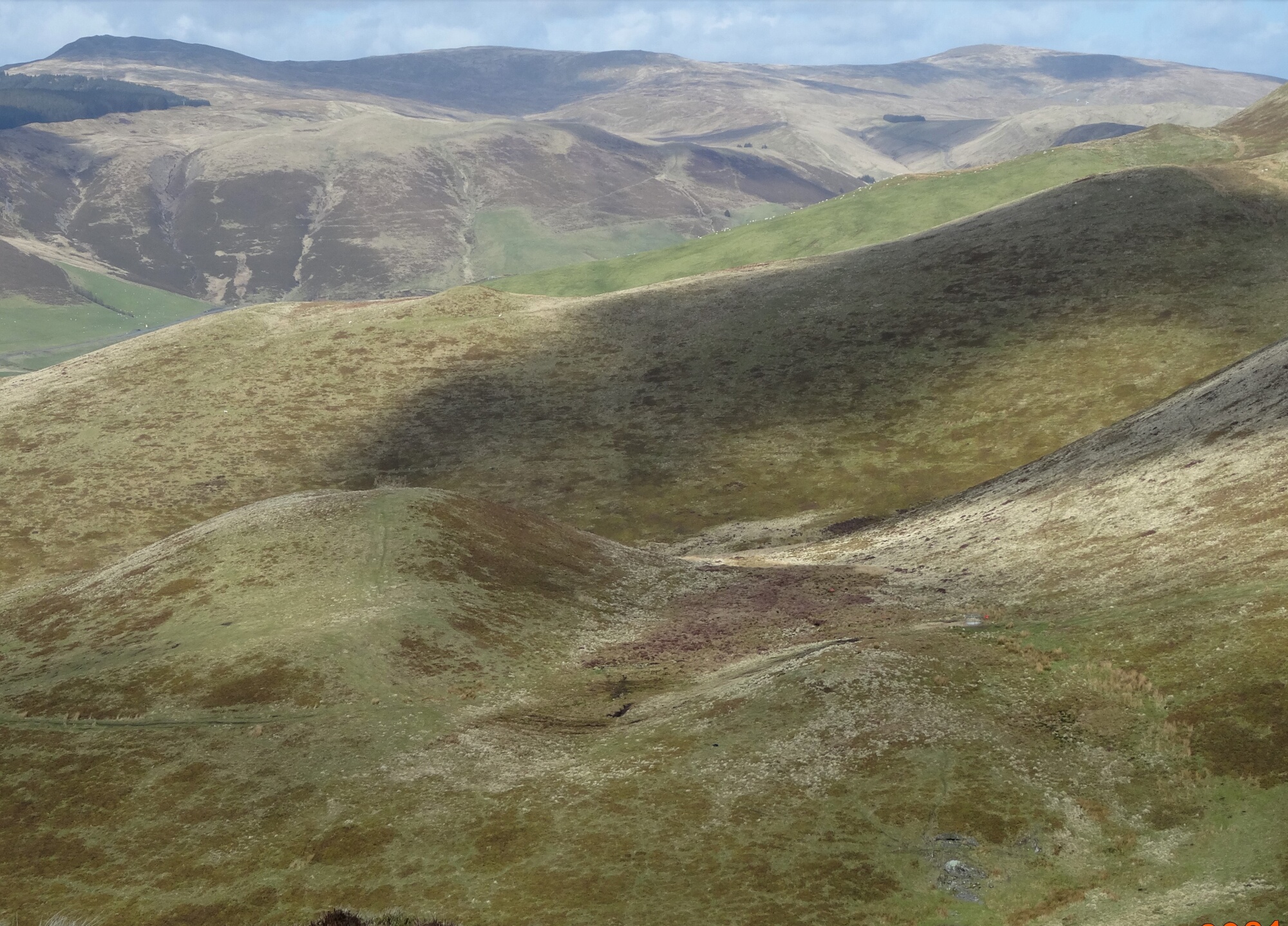
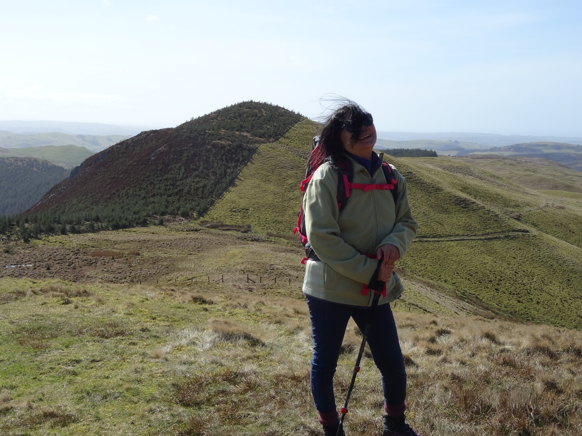
You then make the final ascent up to the walk’s highest point at 547m, a broad, slightly tussocky lump which does not appear to have a name. Behind is the long view back along the way we have come, and ahead the green shoulder of Y Glog, with Draws Drum the highest point further back to the right.

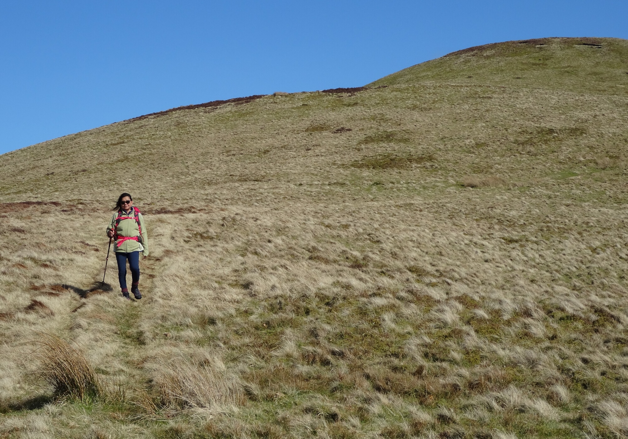
Now head down to the left, slightly north of west, at first keeping on the top of the broad shoulder as you descend, gradually diverting left down the side of the shoulder until you pick up a small path which looks like a faint sheep track. However, further on the vague path should get slightly clearer, and it diverts in a curve to the right just before it gets to the bwlch before the rising contour of Fuches Wen ahead.
Follow the now good path to the right then immediately bearing left diagonally down the side of the cwm of Nant Meirch.
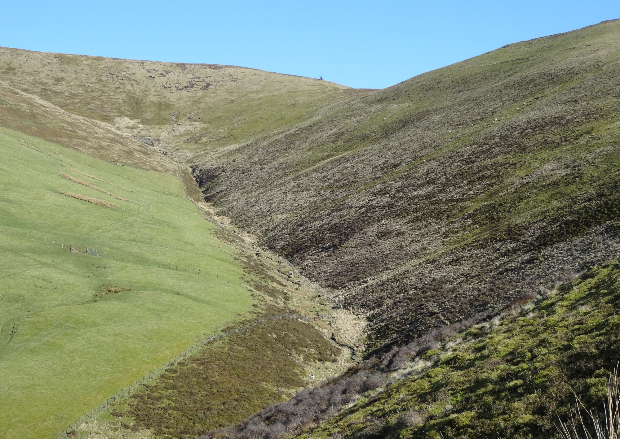
The way is now easy to follow, and heads towards a small gate near a house in the trees. This is the boundary of Access Land.
The gate looks unpromising, as if you are going into the house garden, but this is the Right of Way, and soon emerges again onto a clear gravelly track the other side. Instead of going on the track, drop down to the right and pick up the Right of Way as it heads downhill.
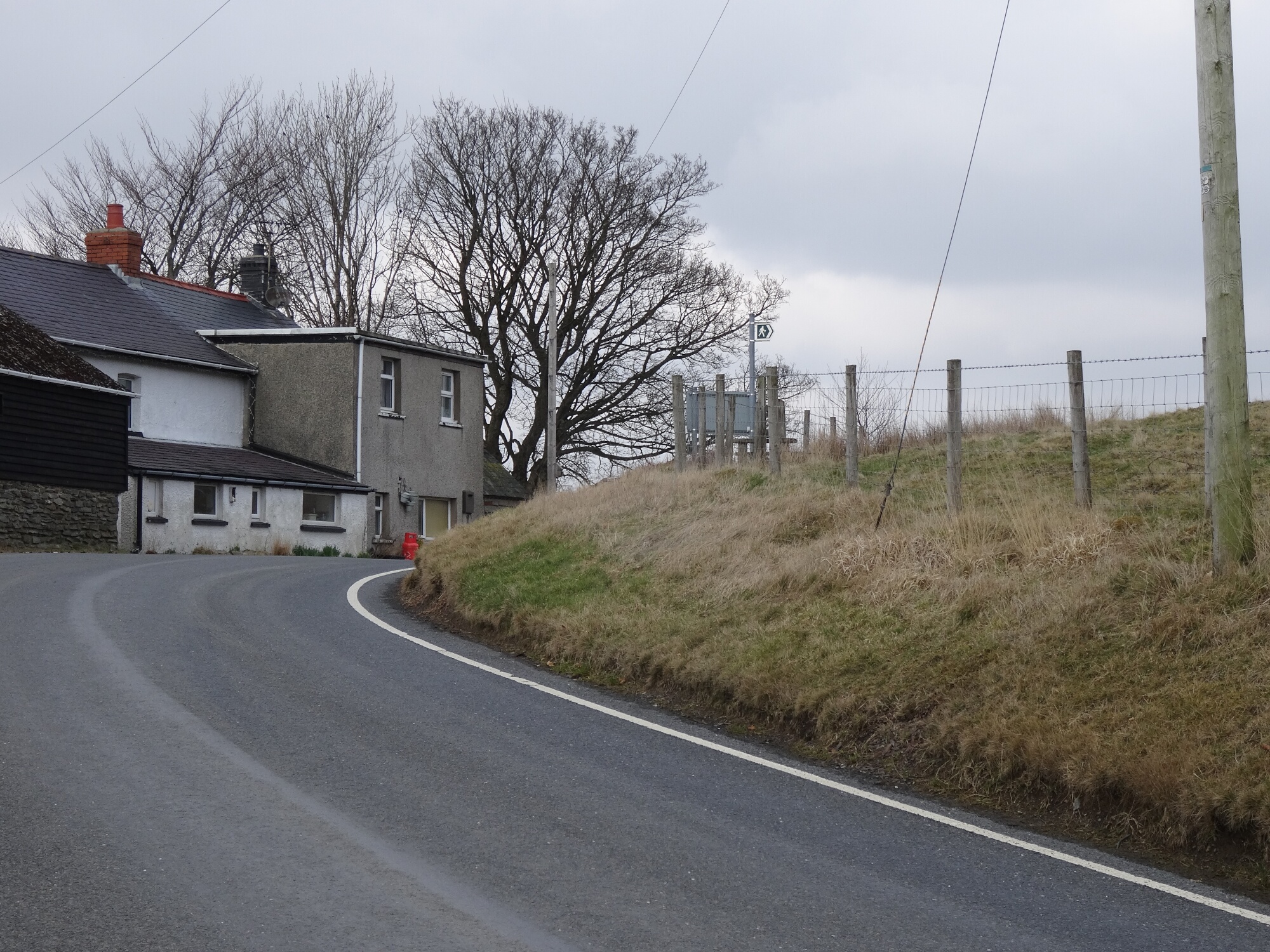
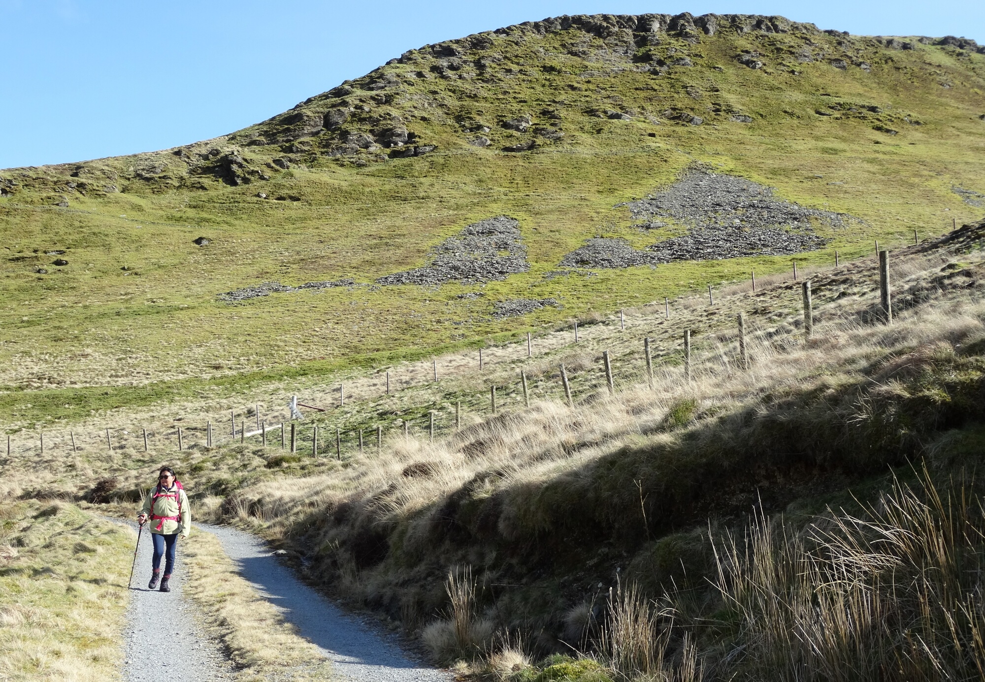
Things get a bit unclear, now, and it seems reasonable to abandon the green dots on the map and head through the workings of the old mine on a good gravelled track to the left, close and parallel to the main A44. The tracks come out to the left onto the quiet road that links the A44 from here to Devil’s Bridge (B4343) which you walk along in the general leftward direction.
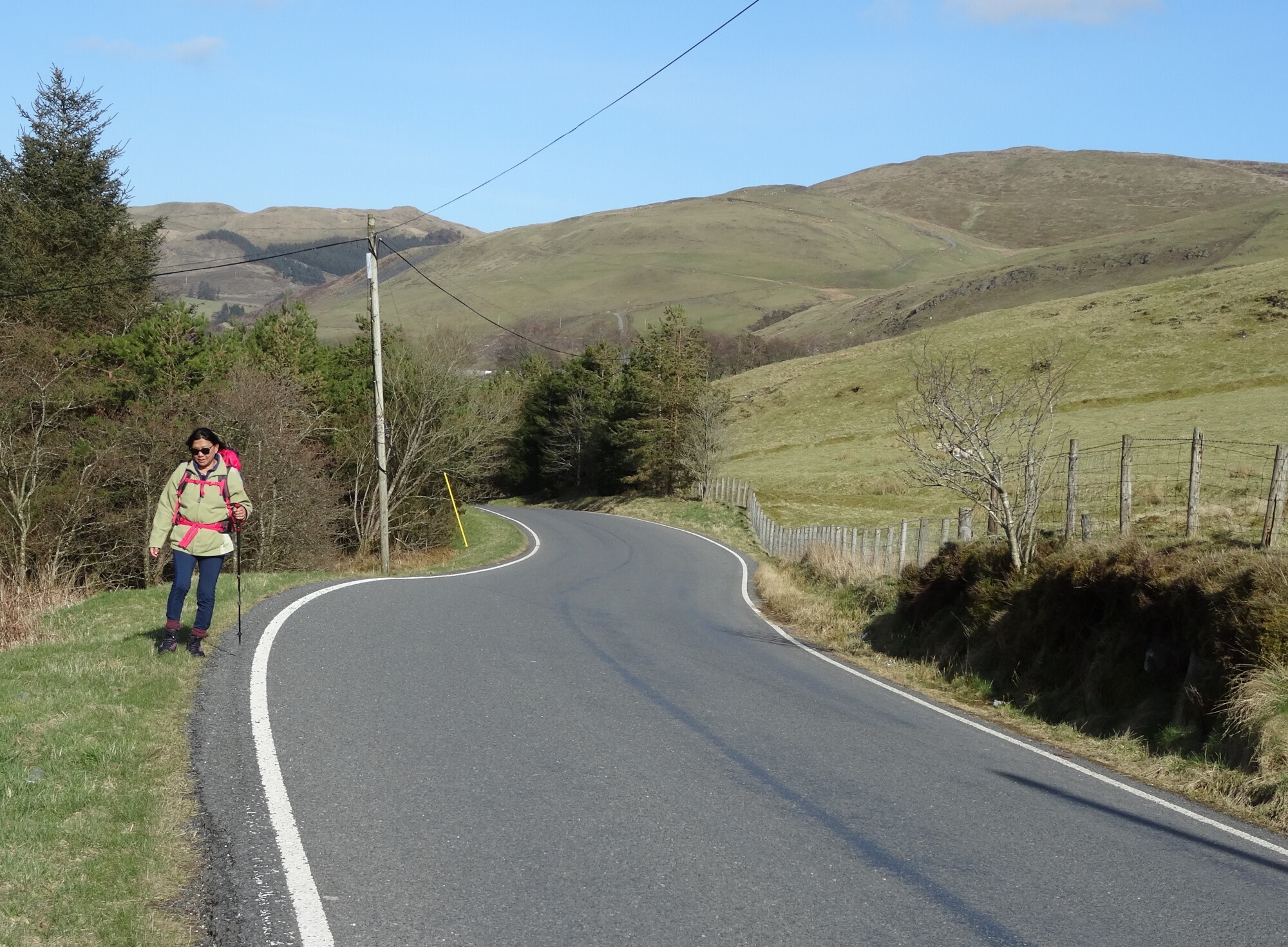
The road makes an S-bend past Troed-rhiw-goch, and you should follow it for another two-thirds of a km, leading gently uphill. It is tempting to try to follow the PROW marked on the map from here to the walk starting point, but I haven’t been able to find a satisfactory way through the farm… this path seems to have disappeared, unfortunately.
At the top of the rise, you eventually get to the bridleway sign and gate of a very feeble-looking track which leads off to the right and downhill through the rough pastures. This is fairly easy to follow, except where there is what looks like a fork in the track in a field, where you take the right-hand descending option, and soon the track improves and becomes a grassy stroll down to the car body repair workshop near the walk’s starting point.
Comments (0)